The best walks and hikes around Aurdalsfjorden
4.4
(270)
1,188
hikers
60
hikes
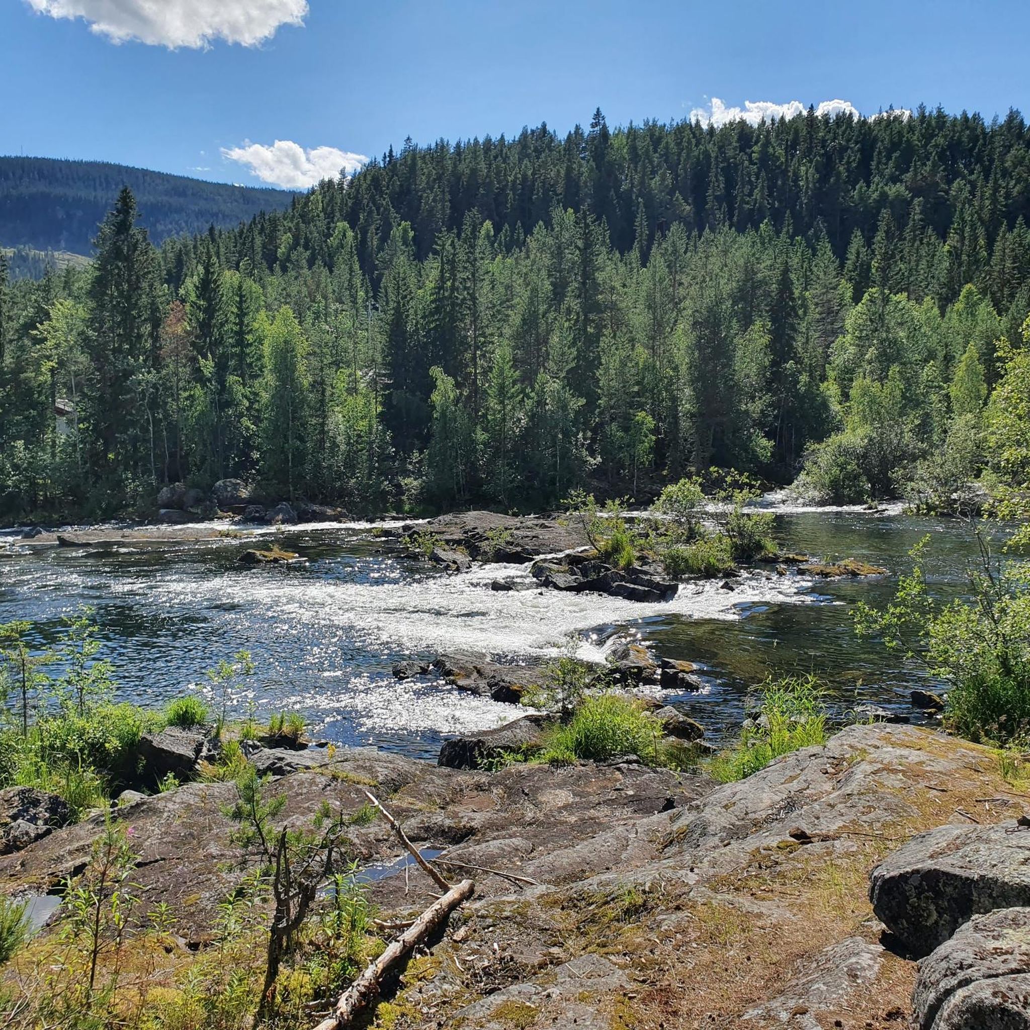
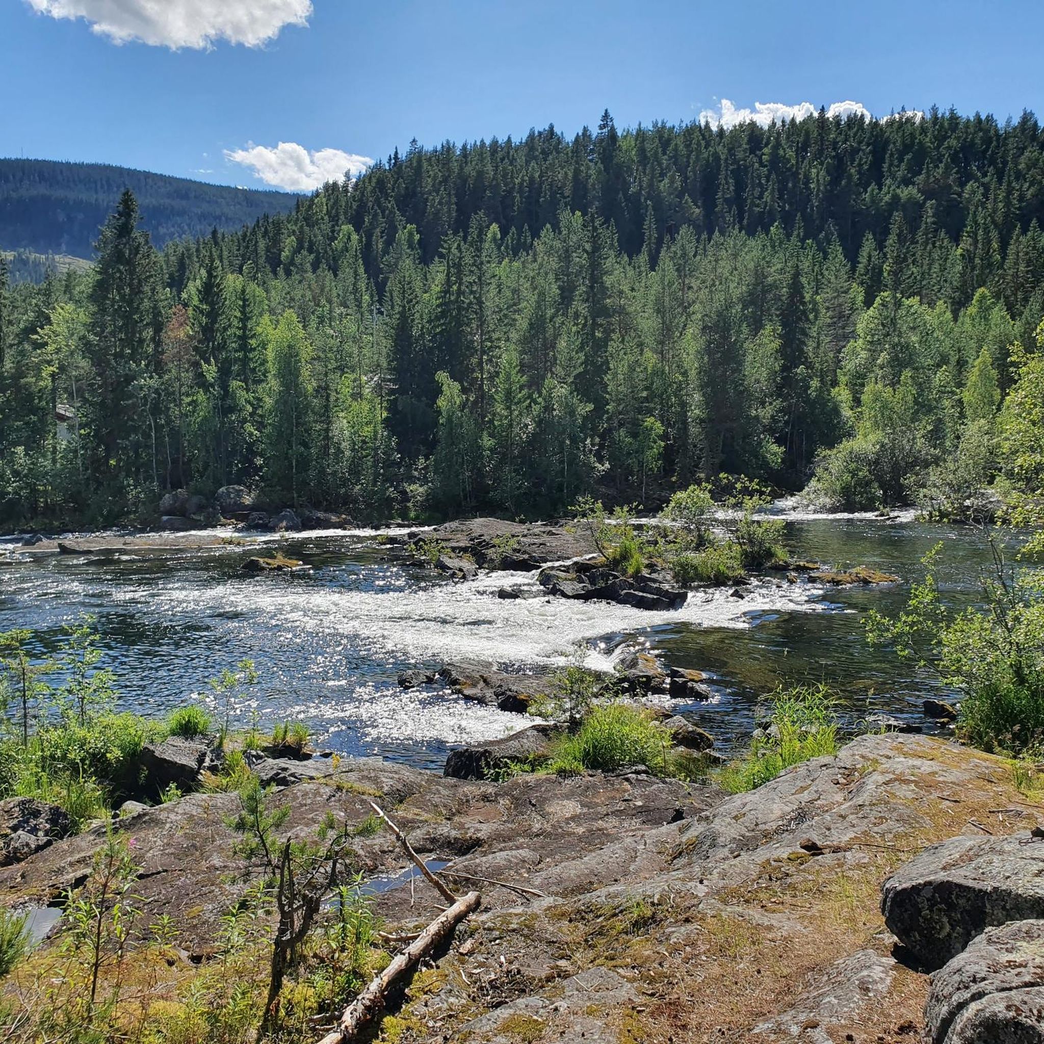
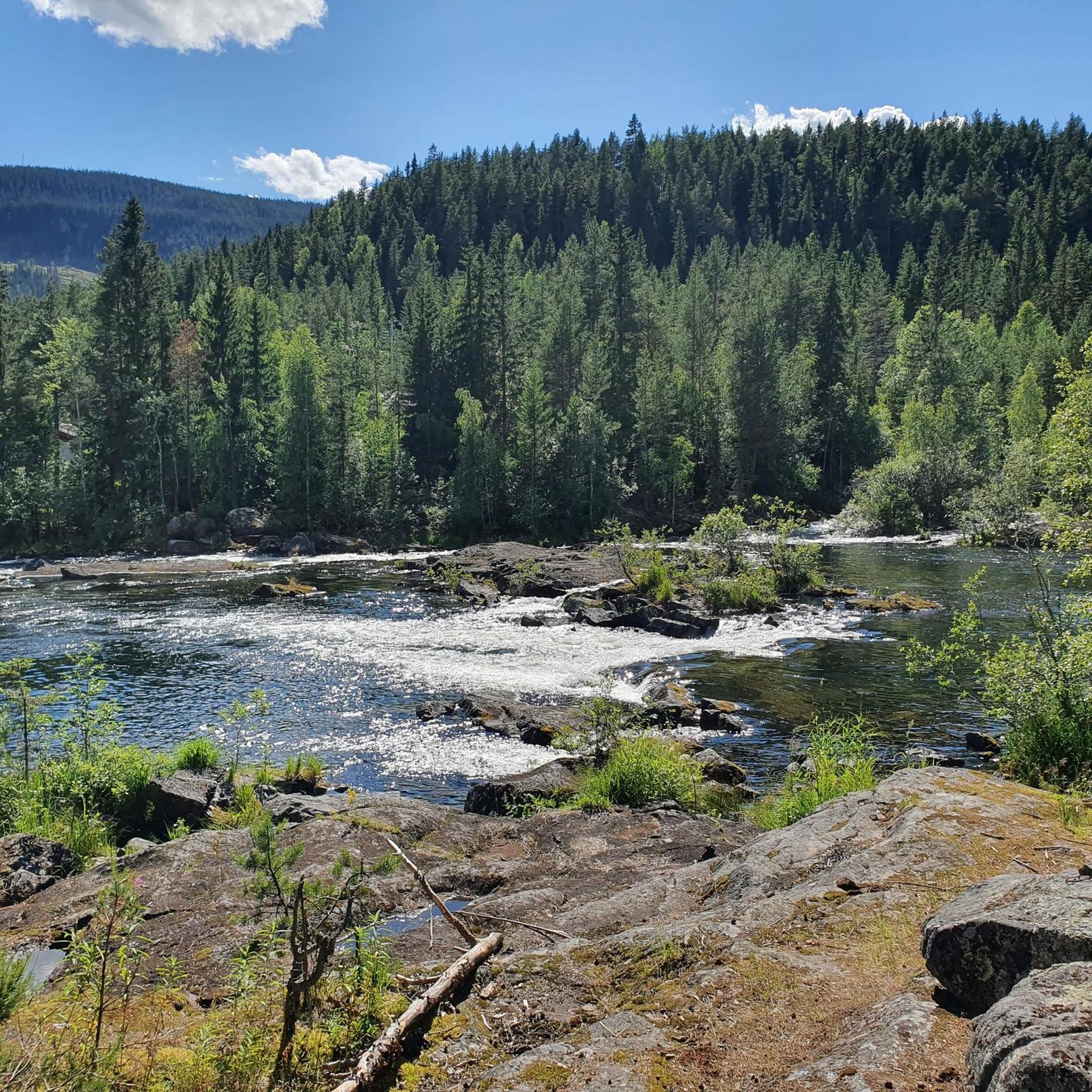
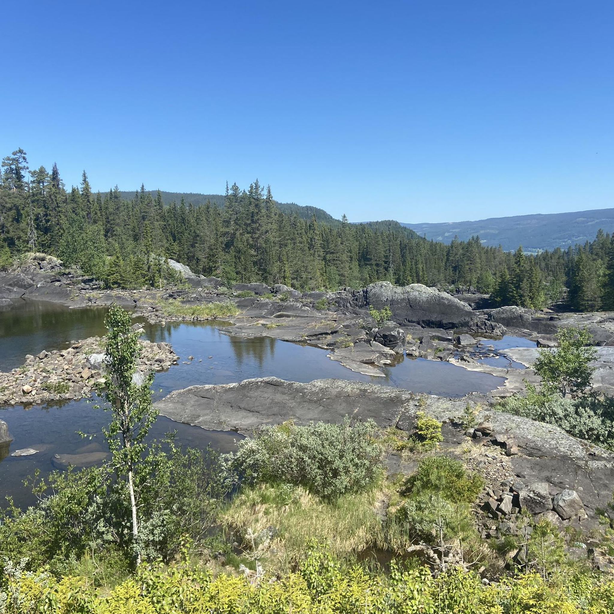
Hiking around Aurdalsfjorden offers a diverse landscape characterized by a blend of mountain, forest, and lakeside environments. The region features varied terrain, including gentle, accessible paths and more challenging trails with significant elevation gains. Hikers can experience the transition zone between forest and open fell country, providing different ecological zones and scenic backdrops. Many trails lead to viewpoints offering expansive vistas over the fjord and surrounding areas.
Best hiking trails around Aurdalsfjorden
- The most popular hiking route is Galteberget –…
Last updated: October 13, 2026
5.0
(2)
26
hikers
3.48km
00:56
40m
40m
Easy hike. Great for any fitness level. Easily-accessible paths. Suitable for all skill levels.
5.0
(2)
21
hikers
8.40km
02:09
30m
30m
Moderate hike. Good fitness required. Easily-accessible paths. Suitable for all skill levels.

3.5
(2)
16
hikers
6.99km
02:05
190m
190m
Moderate hike. Good fitness required. Easily-accessible paths. Suitable for all skill levels.
4.0
(1)
7
hikers
6.29km
02:15
370m
370m
Moderate hike. Good fitness required. Easily-accessible paths. Suitable for all skill levels.
4.0
(2)
11
hikers
2.83km
00:58
140m
140m
Easy hike. Great for any fitness level. Easily-accessible paths. Suitable for all skill levels.
Get access to more routes and recommendations from other explorers.
Already have an account?
Our route recommendations are based on thousands of hikes, rides, and runs completed by other people on komoot.
Start today with a free account
Your next adventure awaits.
Tips from the Community

Beautifully designed monument to the slate transport in Valdres
0
0

Water level marks to illustrate the land uplift of Scandinavia
3
0
Monument to the transport of slate from the pits to the railway in Fagernes
3
0
The Valdresbahn was operated from 1906 to 1988
3
0

Frequently Asked Questions
How many hiking trails are available around Aurdalsfjorden?
Aurdalsfjorden offers a wide selection of hiking opportunities, with over 60 routes available. These trails cater to various preferences, ranging from easy strolls to more challenging ascents, ensuring there's something for every hiker.
What kind of terrain can I expect on hikes in Aurdalsfjorden?
The region around Aurdalsfjorden features diverse terrain, including a blend of mountain, forest, and lakeside environments. You'll find gentle, accessible paths, as well as more challenging trails with significant elevation gains. Many routes offer a transition zone between forest and open fell country, providing varied ecological zones and scenic backdrops.
Are there any easy or family-friendly hiking options in Aurdalsfjorden?
Yes, Aurdalsfjorden has numerous easy and family-friendly trails. For instance, the Galteberget – Årdal Mountain Church loop from Danebu is an easy 3.8-mile (6.2 km) path with gentle gradients. Another accessible option is the Oddetoppen loop from Leira, a shorter 2.2-mile (3.5 km) trail perfect for a quick outing with kids.
Can I find challenging hikes in the Aurdalsfjorden area?
While many trails are moderate or easy, the Aurdalsfjorden region does offer more challenging options, particularly those with significant elevation gains that require good fitness and sure-footedness. Some hikes can extend over five hours with more than 3,000 feet of ascent, demanding very good fitness and potentially alpine experience. The broader Valdres region also provides access to national parks like Jotunheimen and Langsua, known for their demanding trails.
Are there any circular hiking routes around Aurdalsfjorden?
Yes, many of the popular hikes in Aurdalsfjorden are circular routes. A great example is the Galteberget – View of Frænengen Lake loop from Damtjern, which is a moderate 5.3-mile (8.6 km) trail offering scenic outlooks. Another option is the Strondafjorden – Water Level Markers loop from Leira, a moderate 8.3-mile (13.3 km) route.
Are there hikes that feature waterfalls in Aurdalsfjorden?
Yes, you can find hikes that include waterfalls in the Aurdalsfjorden area. For a route that highlights this natural feature, consider the Waterfall – Bridge Over the Waterfall loop from Leira. This moderate 4.2-mile (6.7 km) trail offers a chance to experience the local cascades.
What are some notable viewpoints or landmarks I can see while hiking?
Several trails lead to viewpoints offering expansive vistas over the fjord and surrounding areas. Bjørgovarden (1138 masl) and Fjellenden (1145 masl) are noted for their wide and rewarding perspectives. The Galteberget – View of Frænengen Lake loop from Damtjern also provides scenic outlooks over Frænengen Lake. Additionally, the Aurlandsfjellet scenic route offers dramatic views of Aurdalsfjorden.
Is Aurdalsfjorden a good destination for dog-friendly hiking?
The diverse landscapes of Aurdalsfjorden, with its forests, mountains, and lakeside paths, generally make it a welcoming area for dog-friendly hiking. Many trails are suitable for well-behaved dogs on a leash, allowing you and your canine companion to explore the varied terrain together. Always remember to check local regulations and be mindful of wildlife.
What is the best time of year to go hiking in Aurdalsfjorden?
The best time for hiking in Aurdalsfjorden is typically during the warmer months, from late spring to early autumn (May to September), when trails are clear of snow and the weather is most pleasant. This period allows access to the full range of mountain, forest, and lakeside environments. Some higher altitude trails may still have snow into early summer.
Are there options for public transport to reach trailheads in Aurdalsfjorden?
While specific public transport options directly to every trailhead might be limited, the Valdres region generally has some bus services connecting towns. For reaching specific trailheads, it's advisable to research local bus routes or consider carpooling, as many starting points are more easily accessible by car. Information on local transport can often be found through regional tourist information centers.
Where can I find parking for hiking trails around Aurdalsfjorden?
Parking is generally available at or near many popular trailheads in Aurdalsfjorden. For example, the Galteberget – View of Frænengen Lake loop starts from Damtjern, where parking facilities are typically present. Similarly, routes from Danebu or Leira often have designated parking areas. It's recommended to check specific route details on komoot for parking information related to your chosen trail.
What do other hikers say about their experience in Aurdalsfjorden?
The hiking experiences in Aurdalsfjorden are highly rated by the komoot community, with an average score of 4.4 stars from over 190 reviews. Hikers often praise the varied terrain, the stunning views over the fjord and lakes, and the well-maintained paths that cater to different skill levels. Many appreciate the blend of forest, mountain, and lakeside environments.
Beyond hiking, what other outdoor activities can I enjoy in Aurdalsfjorden?
Aurdalsfjorden offers a range of complementary outdoor activities. You can enjoy fishing in Aurdalsfjorden itself, which is home to trout, whitefish, and perch, with boat rentals available. Cycling is popular on the gravel roads of the Aurdalsåsen hill ridge. Valdres Golf, situated on the lake shore, is a beautiful nine-hole course. Horseback riding and exploring the Valdres Folkemuseum also provide unique regional experiences.
Most popular routes around Aurdalsfjorden

Get inspired with the komoot mobile app


Explore more
Browse the best Hikes in other regions.
