The best road cycling routes around Abbotsford
4.6
(15)
299
riders
19
rides
Road cycling routes around Abbotsford are set within the Fraser Valley, characterized by expansive agricultural lands, river systems, and views of forested mountain peaks. The region offers a mix of terrain, from flat dyke trails along the Fraser River to quiet country roads winding through blueberry fields and orchards. The Discovery Trail provides a paved corridor connecting different parts of the city, suitable for year-round cycling. This diverse landscape supports a variety of road cycling experiences.
Best road cycling routes…
Last updated: October 8, 2026
85
riders
112km
05:24
1,500m
1,500m
Hard road ride. Very good fitness required. Some segments of this route may be unpaved and difficult to ride.
5.0
(3)
41
riders
45.7km
01:55
280m
280m
Easy road ride. Great for any fitness level. Mostly well-paved surfaces and easy to ride.

21
riders
Moderate road ride. Good fitness required. Some segments of this route may be unpaved and difficult to ride.
5.0
(3)
13
riders
34.9km
01:21
40m
40m
Easy road ride. Great for any fitness level. Mostly well-paved surfaces and easy to ride.
12
riders
35.7km
01:51
510m
510m
Moderate road ride. Good fitness required. Mostly well-paved surfaces and easy to ride.
Get access to more routes and recommendations from other explorers.
Already have an account?
Our route recommendations are based on thousands of hikes, rides, and runs completed by other people on komoot.
Start today with a free account
Your next adventure awaits.
Tips from the Community

Discovery Trail is a lovely multi-use route that stretches across Abbotsford, connecting parks, neighbourhoods, schools, and natural areas through the heart of the city. This paved trail is mostly flat and follows a mix of urban greenspace and creekside corridors, making it popular for walking, running, and cycling. Along the way, you’ll pass public art, viewpoints, wetlands, and forested sections, making this an ideal route to experience a little bit of everything that Abbotsford’s natural and cultural landscapes have to offer.
0
0

Clayburn Creek Park is a thickly forested area, full of western red cedar, western hemlock, and bigleaf maple trees. The area gets its name from the history of the Clayburn Brick Factory, whose bricks can still be seen in some old buildings today. The Clayburn Creek Trail, which is open to hiking and biking, was once the path used by the railway for delivering and transporting bricks from the factory.
0
0

Birchwood Dairy is a popular resupply and rest point, selling ice cream and cold drinks. Washrooms are open to the public. There are picnic tables and a playground for young children.
1
0
The Powerhouse at Stave Falls Visitor Centre is a fascinating historic site and museum, located in the original 100-year-old Powerhouse that once generated electricity for the Lower Mainland. Visitors can walk through the old generating facility and check out interactive exhibits, archival photos, and original mechanical and electrical components like the massive turbines and generators. The Powerhouse sits on the traditional territory of the Stó:lō People in the core territory of the Kwantlen First Nation.
0
0
The Hayward Street Bridge passes over the Stave River and the northern part of the Ruskin Dam and Powerhouse. There is a small pedestrian crossing separate from cars on he eastern side of the bridge. The dam has been creating electricity here since 1930, using Hayward Lake, a reservoir roughly 5.6 kilometers long, for that powerful flow.
0
0

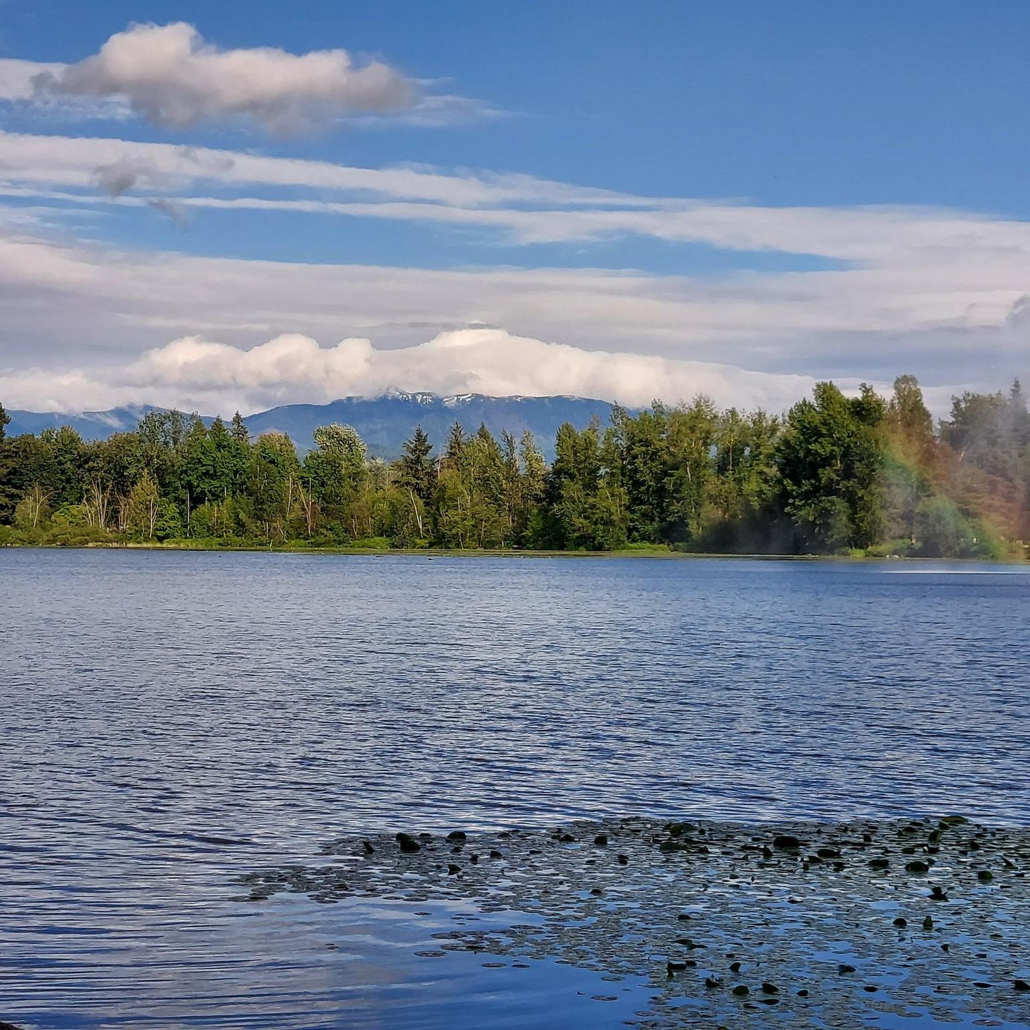
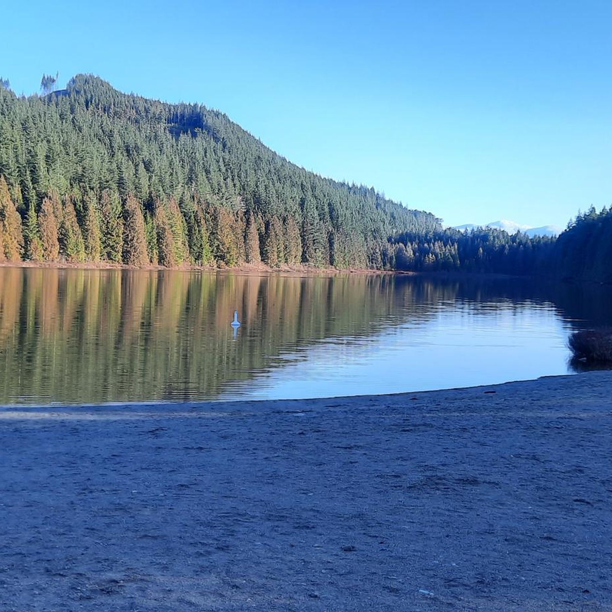
A short loop trail leads you to this beautiful alpine setting. Follow the Bagley Lakes Trail from here at Lower Bagley Lake to the slightly bigger Upper Bagley Lake.
2
0
As you can already image by its name, Picture Lake with its viewpoint is the perfect spot for a picture postcard photo with snowcapped Mount Shuksan in the background.
1
0
Frequently Asked Questions
How many road cycling routes are available in Abbotsford?
Abbotsford offers a diverse selection of over 20 road cycling routes, catering to various skill levels. These routes explore the scenic Fraser Valley, from flat dyke trails to quiet country roads with moderate climbs.
What kind of terrain can I expect on road cycling routes in Abbotsford?
You'll find a mix of terrain, from flat dyke trails along the Fraser River and through the Matsqui Prairie to quiet country roads winding through blueberry fields and orchards. The extensive Discovery Trail provides a paved corridor through natural habitats. Some routes also offer views of forested mountain peaks like Sumas Mountain and the Cheam Mountain Range, with varying elevation changes.
Are there easy road cycling routes suitable for beginners or families in Abbotsford?
Yes, Abbotsford has several easy road cycling routes perfect for beginners or families. For instance, the Roadbike loop from Irene Kelleher Totí:ltawtxw Elementary School is an easy 28.1-mile path through agricultural areas with minimal elevation changes. The dyke trails, such as those in Matsqui Trail Regional Park, also offer flat, scenic rides.
Where can I find longer or more challenging road cycling routes in the Abbotsford area?
For longer and more challenging rides, consider routes that venture further into the Fraser Valley or towards the mountains. The Sunrise Lake – Picture Lake loop from Maple Falls is a difficult 69.3-mile route with significant elevation gain, offering varied scenery. The Sumas Flats area also provides numerous roads for extended exploration with mostly local traffic.
Are there any scenic viewpoints or natural attractions along the road cycling routes?
Many routes offer picturesque views of the Fraser Valley, blueberry fields, and distant mountain ranges. You can also incorporate stops at natural attractions. For example, the Discovery Trail winds through natural habitats with forests, ponds, and creeks. While not directly on a road cycling route, the stunning Bridal Veil Falls, fed by a stream from Mount Archibald, is a significant natural attraction in the region.
Can I find loop routes for road cycling in Abbotsford?
Yes, many road cycling routes in Abbotsford are designed as loops, allowing you to start and end at the same point. Examples include the Roadbike loop from Clayburn, which takes you through rural landscapes, and the Roadbike loop from Yarrow Sportsfield, offering an easy ride.
What are some interesting places to explore or stop at during a road cycling trip in Abbotsford?
Beyond the natural beauty, you can visit charming spots like Clayburn Village, known for its historic appeal. For refreshments, consider stopping at Birchwood Dairy Farm for ice cream or Lepp Farm Market for fresh, local produce. Mill Lake Park in the city center also offers a pleasant break with a paved walkway around the lake.
What do other road cyclists enjoy most about road cycling in Abbotsford?
The road cycling experience in Abbotsford is highly rated by the komoot community, with an average score of 4.5 stars. Reviewers often praise the quiet country roads, the scenic views of agricultural lands and mountains, and the variety of routes available for different skill levels, from flat dyke trails to routes with moderate climbs.
Are there any specific trails or areas known for their quiet roads and minimal traffic?
Yes, the Matsqui Prairie and Sumas Flats areas are well-regarded for their quiet country roads, offering peaceful rides through farms, blueberry fields, and orchards with mostly local traffic. The dyke trails, such as those in Matsqui Trail Regional Park, also provide traffic-free cycling experiences along the Fraser River.
Are there any attractions or points of interest near the road cycling routes that I can visit?
Absolutely! While cycling, you might pass by or be near several interesting spots. For instance, you can explore the Fort-to-Fort Trail or visit the historic Fort Langley National Historic Site. Nature lovers might enjoy the Sumas Mountain Regional Park or the serene Cultus Lake Park, which are accessible from various routes.
What is the best time of year for road cycling in Abbotsford?
Abbotsford's maritime climate makes it suitable for year-round cycling, but spring, summer, and early fall offer the most pleasant conditions. During these seasons, you can fully enjoy the lush vegetation, blooming blueberry fields, and comfortable temperatures. The extensive Discovery Trail is particularly suitable for year-round activities.
Are there designated bike lanes or safe urban cycling options in Abbotsford?
Yes, the City of Abbotsford has designated bike lanes on some streets, enhancing safety and accessibility for urban cycling. Additionally, the Discovery Trail provides a paved, multi-use corridor that connects different parts of the city, offering a safe and scenic option away from vehicle traffic.
Most popular routes around Abbotsford
Most popular attractions around Abbotsford

Get inspired with the komoot mobile app


Explore more
Browse the best Road cycling routes in other regions.
