The best road cycling routes around Capital G
4.8
(42)
918
riders
39
rides
Road cycling routes around Capital G traverse coastal areas and provincial parks, offering varied terrain for cyclists. The region features routes that navigate bays and natural sanctuaries, with elevation changes indicating a mix of flat sections and climbs. These paths provide opportunities to explore the local landscape by road bike.
Best road cycling routes around Capital G
- The most popular road cycling route is Spotlight Cove – Sturdies Bay loop from Dionisio Point Provincial Park, a 30.6 miles (49.2…
Last updated: July 14, 2026
4.0
(1)
179
riders
80.4km
03:35
600m
600m
Moderate road ride. Good fitness required. Mostly well-paved surfaces and easy to ride.
4.0
(2)
147
riders
73.0km
03:26
430m
430m
Moderate road ride. Good fitness required. Some segments of this route may be unpaved and difficult to ride.

Sign up for free
5.0
(1)
55
riders
49.2km
02:53
770m
770m
Moderate road ride. Good fitness required. Mostly well-paved surfaces and easy to ride.
37
riders
16.8km
01:13
300m
290m
Moderate road ride. Great for any fitness level. Some segments of this route may be unpaved and difficult to ride.
4.0
(5)
121
riders
45.7km
01:59
240m
240m
Moderate road ride. Great for any fitness level. Some segments of this route may be unpaved and difficult to ride.
Get access to more routes and recommendations from other explorers.
Sign up for free
Already have an account?
Our route recommendations are based on thousands of hikes, rides, and runs completed by other people on komoot.
Start today with a free account
Your next adventure awaits.
Login or Signup
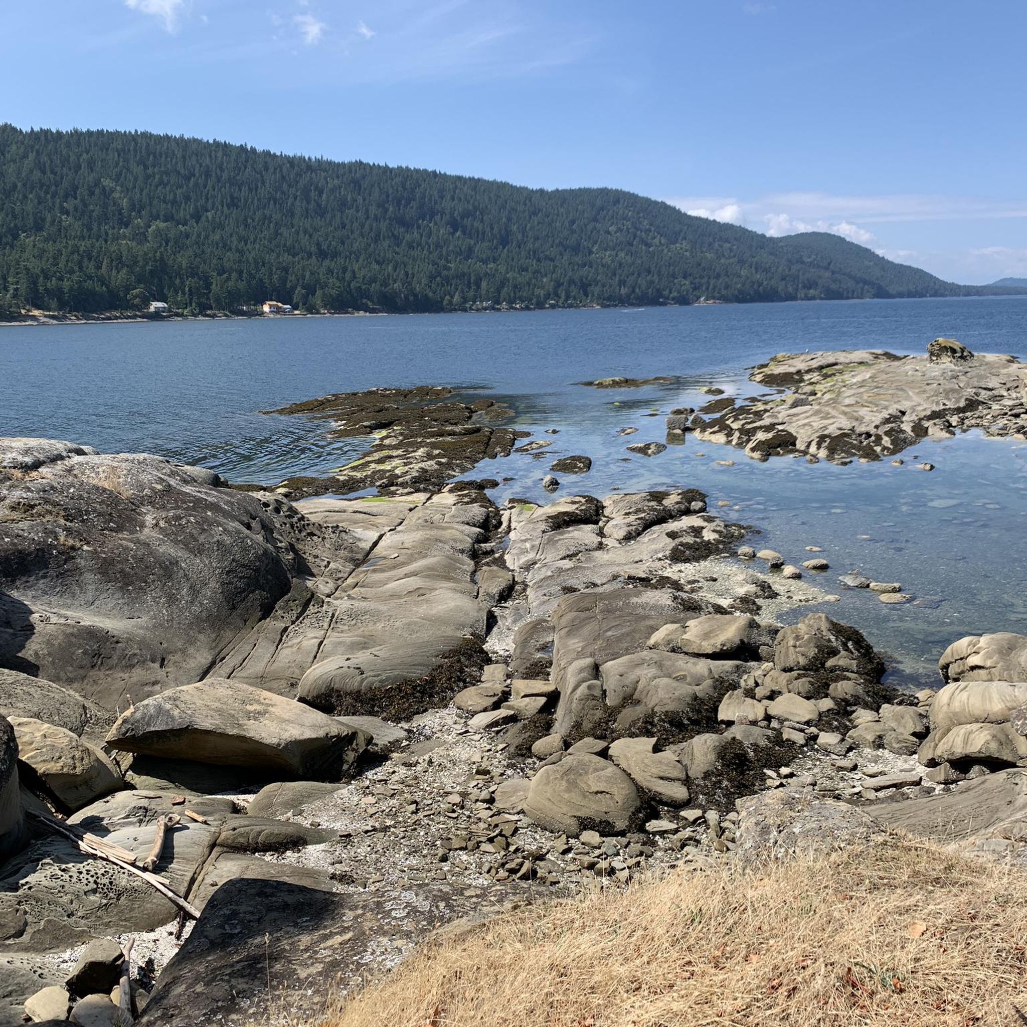
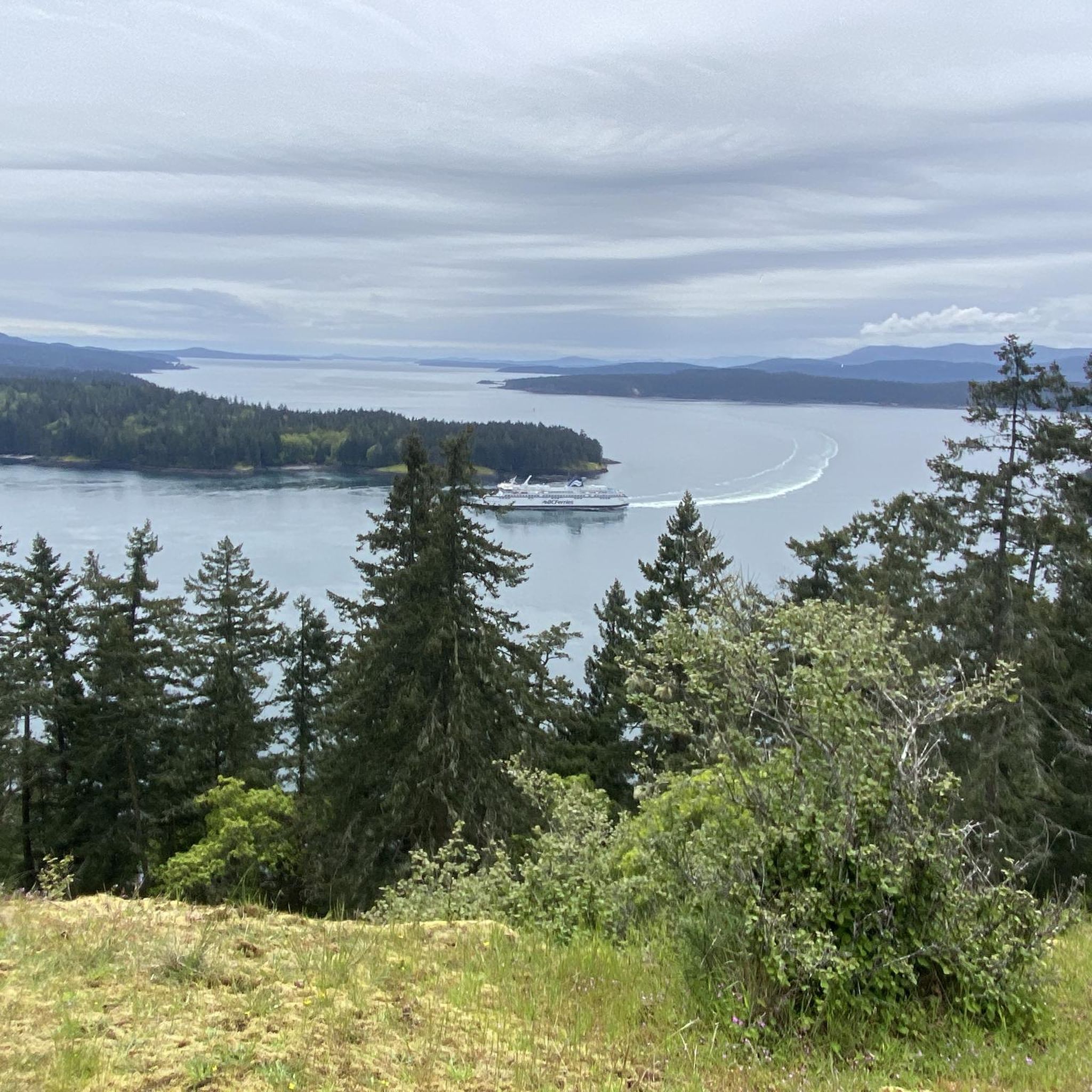
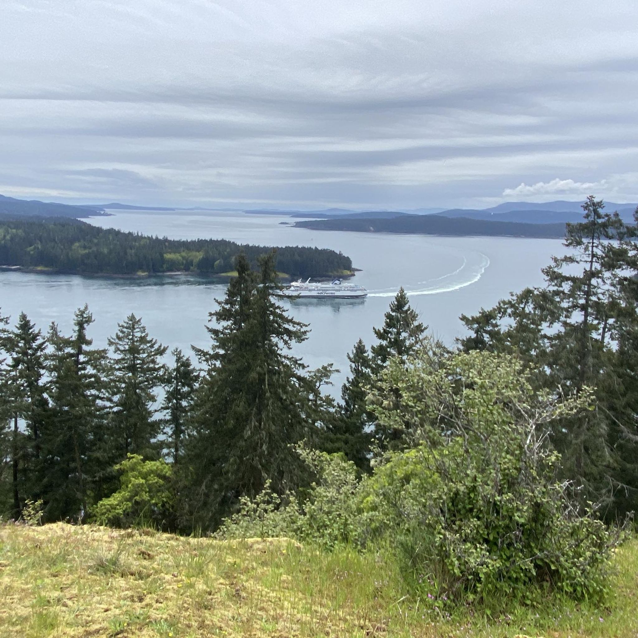
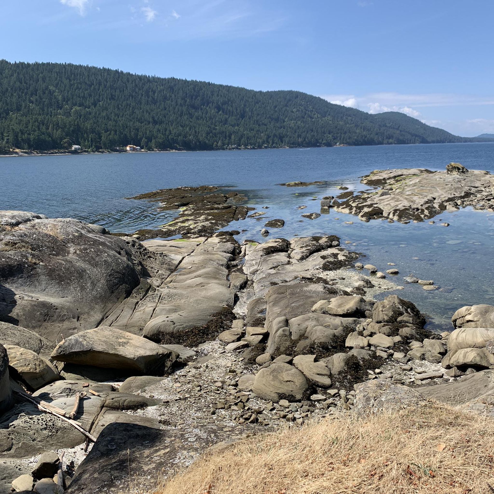
Tips from the Community

Triangle Park is a small local park just west of the Johnson Street Bridge. It has a mix of public art, tupelo trees, benches, and simple lighting that gives it a relaxed, neighborhood feel. The park sits along the Vancouver Island Trail, so it’s a nice spot to pause if you’re walking or biking through the area.
0
0

Victoria's Inner Harbour stretches from the narrows between Laurel Point and Songhees Point to Johnson Street Bridge. This is where the ferry terminal for connections to Port Angeles in Washington State is located, as well as the marina in front of the Fairmont Empress Hotel and docks for smaller ships and boats. Regular seaplane flights to Vancouver and Seattle depart from Victoria Inner Harbour Airport. https://en.wikipedia.org/wiki/Victoria_Harbour_(British_Columbia)#Inner_Harbour
2
0
The Johnson Street Bridge spans the waters of Victoria Harbour at a narrow point. The single-leaf bascule bridge opened in March 2018. At night, the bridge is illuminated in blue. This commemorates the original bridge from 1924, which was also called the 'Blue Bridge' because of its light blue color.
3
1

Let's you stay off the roads and bypass downtown Sidney if you are just travelling through though Sidney does have some great bakeries and coffee stops
0
0

A very interesting drawbridge that is beautifully lit at night.
2
0

The Johnson Street Bridge is a futuristic bridge connecting the city centre with Vic West and is a striking landmark over the Upper Harbour. It is beautifully lit at night.
3
0

Nice flat stretch, obviously an old railway line. Lots of cyclists and pedestrians, be considerate of one another!
0
0

Today, it is a popular tourist destination and vibrant community center. Although it remains a port for fishing boats, it has also evolved to include a variety of restaurants, shops and colorful houseboats that attract locals and tourists alike.
2
0
Frequently Asked Questions
How many road cycling routes can I find around Capital G?
There are over 40 road cycling routes available around Capital G, offering a variety of experiences for cyclists. These routes are primarily categorized as easy or moderate.
What is the typical difficulty level for road cycling in Capital G?
The road cycling routes in Capital G are generally moderate, with 25 moderate routes and 15 easier options. There are no routes classified as difficult, making the area accessible for a wide range of cyclists.
Are there any family-friendly road cycling routes in Capital G?
While specific 'family-friendly' designations aren't provided, the 15 easy routes available around Capital G would be suitable for families looking for a less strenuous ride. Routes with dedicated cycle paths, like the Pat Bay Cycle Path loop from Jimmy at Stautw, often provide a smoother and safer experience for all ages.
What kind of scenery can I expect on road cycling routes around Capital G?
Road cycling around Capital G is characterized by coastal paths, scenic bay views, and routes that wind through provincial parks and natural sanctuaries. You'll experience a mix of landscapes, from open water vistas to more sheltered parklands.
Are there any challenging road cycling routes for experienced riders in Capital G?
For experienced riders seeking a challenge, routes like the Spotlight Cove – Sturdies Bay loop from Dionisio Point Provincial Park offer significant elevation gain over its 30.6 miles (49.2 km), providing a demanding ride through coastal scenery. Many of the moderate routes feature notable climbs.
What do other cyclists think about the road cycling routes in Capital G?
The road cycling routes in Capital G are highly regarded by the komoot community, boasting an average rating of 4.8 stars from over 40 reviews. More than 900 road cyclists have explored the varied terrain, often praising the scenic coastal paths and well-maintained routes through provincial parks.
Are there any circular road cycling routes in Capital G?
Yes, many of the routes around Capital G are designed as loops, allowing you to start and end at the same point. Examples include the popular Spotlight Cove loop from Collinson Point Provincial Park and the Patricia Bay Park loop from Brentwood Bay.
What are some interesting places to see along the road cycling routes in Capital G?
While cycling, you can explore various attractions. Consider visiting Butchart Gardens for its stunning floral displays, or enjoy the natural beauty of Patricia Bay Park. For panoramic views, the Mount Douglas Summit Observation Deck is a notable viewpoint.
Are there any routes that pass by lakes or natural areas?
Absolutely. Routes often traverse areas near natural features. You can find routes that pass by Elk/Beaver Lake Regional Park and Elk Lake, offering serene lakeside views and opportunities to connect with nature.
What is the average length and duration of road cycling routes in Capital G?
The routes vary in length and duration. For instance, the Pat Bay Cycle Path loop is about 30.8 miles (49.6 km) and takes around 2 hours 11 minutes, while the Port Browning – Hope Bay loop is shorter at 17.6 miles (28.3 km), typically completed in about 1 hour 42 minutes.
Are there any less crowded road cycling options in Capital G?
While specific crowd levels aren't tracked, exploring the 15 easy routes or those that venture deeper into provincial park lands, such as the Spotlight Cove loop from Collinson Point Provincial Park, might offer a more tranquil experience away from busier areas.
Most popular attractions around Capital G

Get inspired with the komoot mobile app


Explore more
Browse the best Road cycling routes in other regions.
