The best cycling routes around Area C (Sasquatch Country)
4.9
(12)
32
riders
6
rides
Touring cycling around Area C (Sasquatch Country) offers diverse terrain, from near sea level to significant mountain ridges, providing varied routes for cyclists. The region is characterized by the expansive Harrison Lake, surrounded by forests and mountains, and includes smaller lakes like Hicks Lake within Sasquatch Provincial Park. Cyclists can explore a mix of paved and unpaved roads, traversing fertile farmlands and scenic backdrops. The landscape features extensive deciduous and coniferous forests, creating a lush environment for outdoor pursuits.
Best…
Last updated: October 14, 2026
5.0
(3)
14
riders
29.3km
01:52
40m
40m
Easy bike ride. Great for any fitness level. Mostly paved surfaces. Suitable for all skill levels.
7
riders
26.1km
01:44
30m
30m
Easy bike ride. Great for any fitness level. Mostly paved surfaces. Suitable for all skill levels.

4.8
(8)
8
riders
23.9km
01:21
50m
50m
Easy bike ride. Great for any fitness level. Mostly paved surfaces. Suitable for all skill levels.
1
riders
62.7km
03:52
140m
140m
Moderate bike ride. Good fitness required. Mostly paved surfaces. Suitable for all skill levels.
1
riders
64.0km
04:10
170m
170m
Moderate bike ride. Good fitness required. Mostly paved surfaces. Suitable for all skill levels.
Our route recommendations are based on thousands of hikes, rides, and runs completed by other people on komoot.
Start today with a free account
Your next adventure awaits.
Popular around Area C (Sasquatch Country)
Tips from the Community

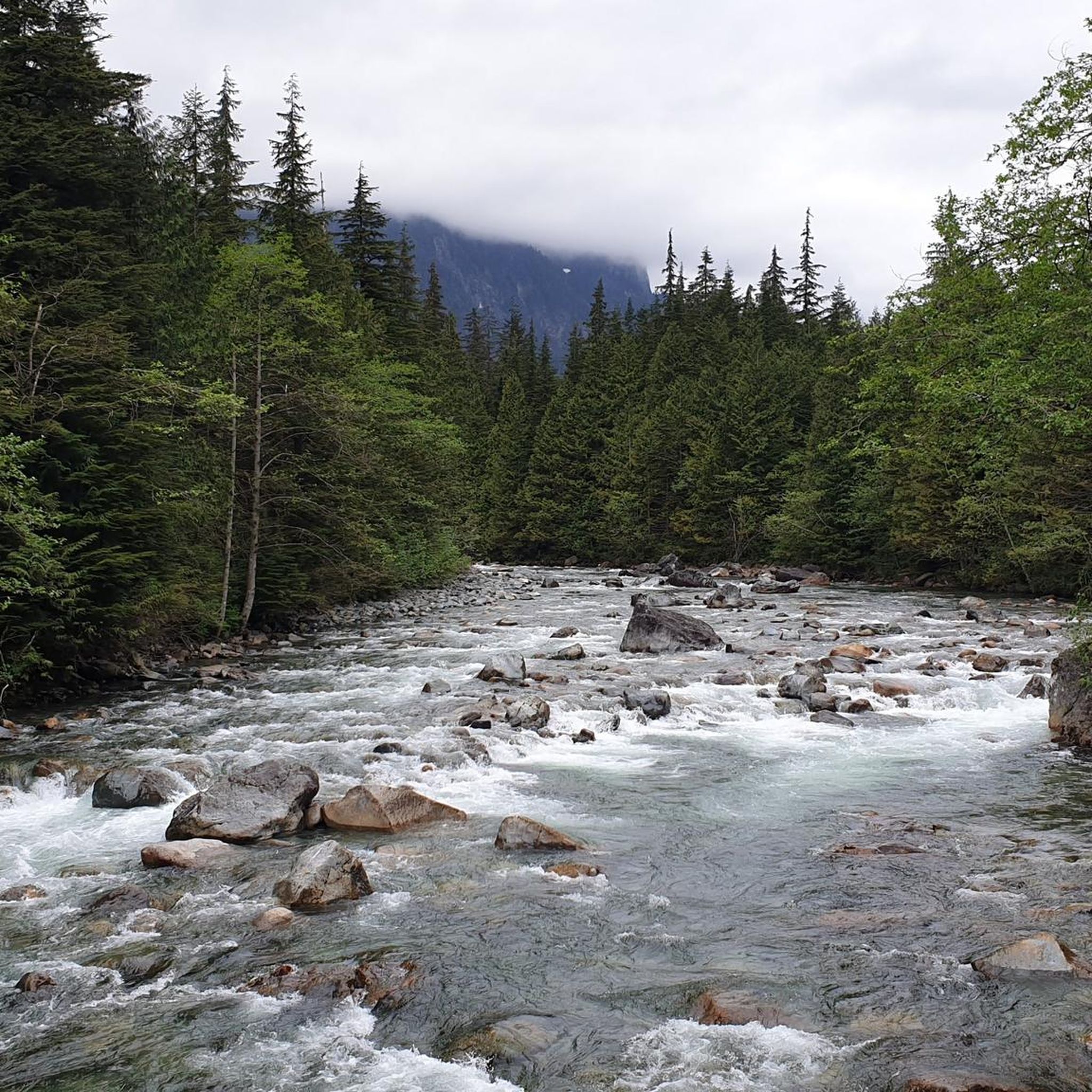
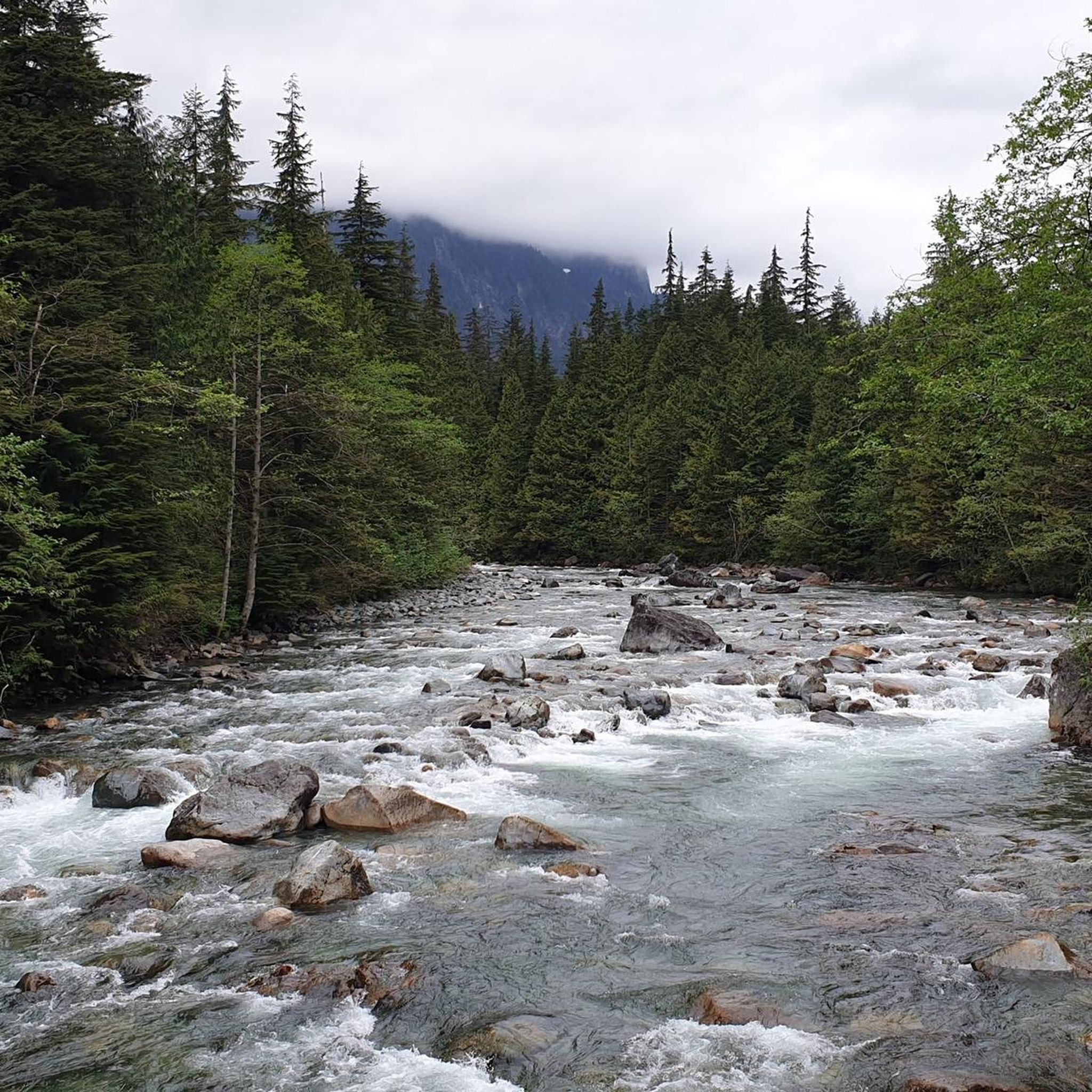
The Chilliwack River flows swiftly through the Fraser Valley of British Columbia, renowned for its clean mountain water, rapids, and biodiversity. It flows from the North Cascades and is a habitat for white sturgeon and migrating salmon, making its shores a prime destination for anglers, birdwatchers, and rafters.
1
0
Browne Creek Wetlands is a small, protected marsh and riparian habitat along Browne Creek. The area is key in filtering water and is easy to explore via a network of flat gravel paths and wooden boardwalks. Visitors come here for birdwatching, strolling, running, or biking.
0
0
The Great Blue Heron Nature Reserve spans 325 acres across a protected wetland habitat for one of the area’s largest colonies of great blue herons. Visitors can explore the reserve on flat gravel trails and raised boardwalks. This beautiful marshland and wooded area are open year-round, with educational programs and volunteer stewardship.
0
0
The Vedder River flows along the southern edge of Chilliwack, beginning at Cultus Lake and running northwest until it joins the Fraser River. The river is famous for salmon fishing during fall salmon runs. Besides fishing, visitors like to swim, tube, kayak, and raft.
0
0

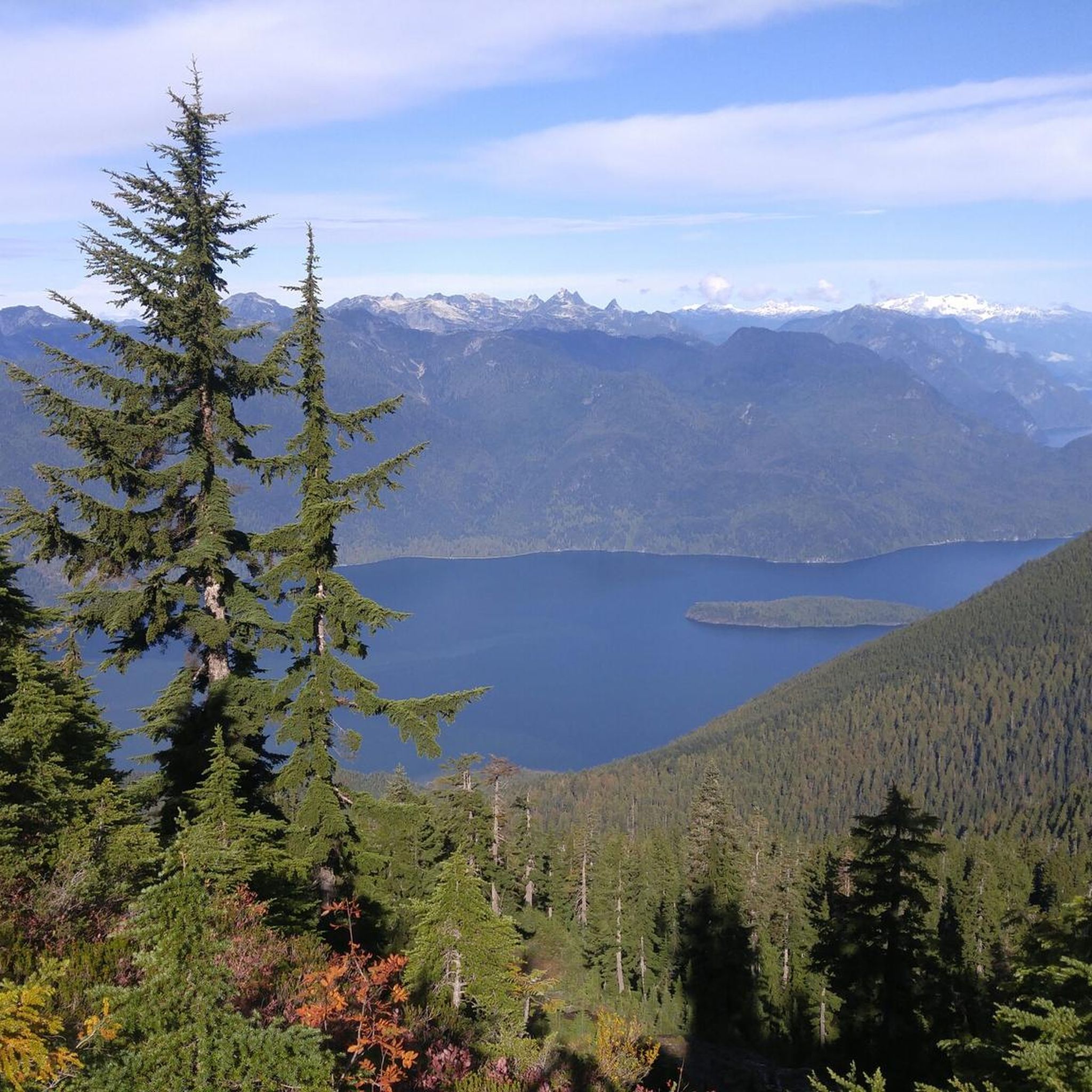
This was taken on a crisp sunny day in mid April.
0
0


Frequently Asked Questions
How many touring cycling routes are available in Area C (Sasquatch Country)?
There are currently over 6 touring cycling routes available in Area C (Sasquatch Country) on komoot, offering a variety of experiences for cyclists. These routes range from easy to moderate difficulty, catering to different skill levels.
What kind of terrain can I expect on touring cycling routes in Area C (Sasquatch Country)?
The region offers diverse terrain, blending stunning natural landscapes with a mix of paved and unpaved sections. You can expect to cycle through fertile farmlands, alongside the expansive Harrison Lake, and through scenic mountain ridges and extensive deciduous and coniferous forests. Routes like the Sidekick Brewing – Chilliwack River loop from Lickman Park & Ride provide scenic views along the Chilliwack River.
Are there any easy touring cycling routes suitable for beginners or families?
Yes, Area C (Sasquatch Country) offers several easy touring cycling routes perfect for beginners or families. For example, the Chilliwack River loop from Chilliwack is an easy 29.3 km trail that takes you through river valleys and agricultural areas. Another great option is the Bike loop from Harrison Hot Springs, which is 23.8 km and also rated easy.
What are some of the natural attractions or points of interest I can see along the touring cycling routes?
While cycling in Area C, you'll be surrounded by natural beauty. The region is home to the massive Harrison Lake and several smaller lakes within Sasquatch Provincial Park, such as Hicks Lake. You'll also encounter picturesque mountain ridges and lush forests. The routes often traverse farmlands, offering views of orchards and fertile land.
Are there any circular touring cycling routes in the area?
Yes, many of the touring cycling routes in Area C (Sasquatch Country) are designed as loops, allowing you to start and end at the same point. Examples include the Sidekick Brewing – Mighty Moose Ice Cream loop from Chilliwack and the Chilliwack River loop from Camp Slough, providing convenient options for your ride.
What do other touring cyclists say about the routes in Area C (Sasquatch Country)?
The touring cycling routes in Area C (Sasquatch Country) are highly rated by the komoot community, with an average score of 4.9 stars from over 10 reviews. Cyclists often praise the varied terrain, scenic backdrops, and the mix of paved and unpaved sections that make for an engaging ride.
Is Area C (Sasquatch Country) suitable for advanced touring cyclists?
While the komoot guide primarily features easy and moderate routes, the region's diverse topography, with elevations varying significantly, suggests opportunities for more challenging rides. The area includes logging and hydro power roads in the hills surrounding Hicks and Deer Lakes, which can provide moderately challenging mountain biking options. For touring, the longer moderate routes like the Sidekick Brewing – Mighty Moose Ice Cream loop from Chilliwack offer a good distance challenge.
What is the best season for touring cycling in Area C (Sasquatch Country)?
The region is generally enjoyable for cycling during the warmer months, from spring through fall, when the weather is mild and the natural landscapes are in full bloom. While e-bikes are restricted to park roads, traditional bicycles can utilize unpaved routes within Sasquatch Provincial Park, particularly during the off-season, though conditions may vary.
Are there any unique cultural aspects or attractions related to the region's Sasquatch lore?
Absolutely! Area C is known as 'Sasquatch Country' and Harrison Hot Springs is considered the 'Sasquatch Capital of Canada.' The legend is deeply rooted in local First Nations traditions. You can explore this folklore through the Harrison Visitor Information Centre + Sasquatch Museum or follow the 'Sasquatch Trail' in Harrison Hot Springs to discover various carvings and statues. For more information, you can visit tourismharrison.com.
Are there options for parking near the touring cycling routes?
Many routes originate from towns like Chilliwack or Harrison Hot Springs, where public parking is generally available. For routes starting from specific parks, such as Sasquatch Provincial Park, there are often designated parking areas at trailheads or campgrounds like Hicks Lake, Bench, and Lakeside/Deer Lake.
Can I access touring cycling routes in Area C (Sasquatch Country) using public transport?
While specific public transport connections directly to all trailheads might be limited, the Fraser Valley Regional District is actively working on an 'Active Transportation Network Plan' to enhance cycling infrastructure and connections across the region. This ongoing development aims to make cycling safer and more accessible, potentially improving public transport links in the future.
What should I bring for a touring cycling trip in Area C (Sasquatch Country)?
Given the varied terrain and potential for both paved and unpaved sections, it's advisable to bring a touring bicycle suitable for mixed surfaces. Essential items include water, snacks, a repair kit, appropriate weather-dependent clothing, and navigation tools. Sun protection is also recommended, especially during sunny days along Harrison Lake or open farmlands.
Most popular routes around Area C (Sasquatch Country)
Most popular attractions around Area C (Sasquatch Country)

Get inspired with the komoot mobile app


Explore more
Browse the best Cycling routes in other regions.
