Attractions and Places To See around Area B (Quatsino Sound/Cape Scott) - Top 3
Best attractions and places to see around Area B (Quatsino Sound/Cape Scott) include a remote and rugged region at the northwestern tip of Vancouver Island. This area is characterized by its dramatic coastline, dense rainforests, and significant cultural sites. It offers a blend of natural wilderness and historical landmarks, including Cape Scott Provincial Park and Quatsino Park. The region provides challenging yet rewarding outdoor experiences amidst diverse landscapes.
Best attractions and places to see around Area B (Quatsino Sound/Cape Scott)
…Last updated: October 11, 2026
San Josef Bay
Highlight • Beach
Tip by

Dakota 576 Crash Site Memorial
Highlight • Monument
Translated by Google •
Tip by

Sign up now to discover places like this
Get recommendations on the best single tracks, peaks, & plenty of other exciting outdoor places.
Bear Falls junction
Highlight • Waterfall
Tip by
Cape Scott Parking Area and Trailhead
Highlight • Parking
Tip by

Nahwitti 4 First Nation Reserve
Highlight • Historical Site
Tip by
Sign up for free to discover even more attractions around Area B (Quatsino Sound/Cape Scott).
Already have an account?
Start today with a free account
Your next adventure awaits.
Popular around Area B (Quatsino Sound/Cape Scott)
Other adventures around Area B (Quatsino Sound/Cape Scott)

Tips from the Community

Approximately two-thirds of the way down the Marble River Trail there is a trail splitting north to Bear Falls. This area features an interpretive viewing area and a managed fish ladder designed to assist migrating fish negotiating the falls. From late summer through the autumn months, the junction comes alive as a spectator hotspot where visitors can watch massive salmon leap clear out of the water. The distance to the falls is less than 200 metres one way.
0
0

This parking area provides convenient access to the Cape Scott and North Coast trails. However, reaching the parking area isn't all that convenient. For those beginning their hikes there is a long 60+ kilometer drive on rough logging roads to get here, and those arriving on foot from the North Coast Trail will have just completed a rough and rugged trek across Vancouver Island. That being said, the parking area can get busy in summer and the road conditions vary throughout the year so be sure to look up the current conditions before you head out.
0
0
Nahwitti 4 is a coastal reserve located on the traditional territory of the Tlatlasikwala First Nation. Historically, this area supported a population who thrived on the abundant marine resources of the Hope Island and Goletas Channel regions. Today, the reserve remains a deeply significant link to the community's heritage and their ongoing efforts to manage and protect their ancestral lands and waters. While the surrounding North Coast landscape is popular for rugged wilderness activities like kayaking and fishing, visitors to the region should remain mindful that the reserve is private community land and a site of profound historical importance and as such access is prohibited.
0
0
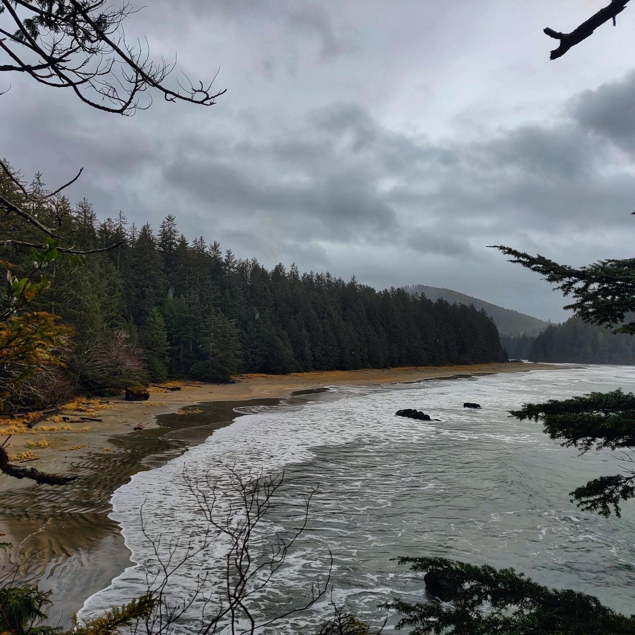
San Josef Bay is a long sandy beach with powerful Pacific waves and a rugged, windswept coastline. It can be reached via the Cape Scott or North Coast Trail. Visitors can see sea stacks, rocky headlands, and driftwood-lined shores backed by coastal rainforest. It’s a popular stop for day hikers or a base camp for multi-day hikers, as they can pitch a tent at several backcountry sites. Low tide shows off tide pools along the shore. Summer or early fall is the best time to visit, with long daylight hours and warm weather.
1
0

A 1.5-hour drive on a gravel road to Cape Scott, followed by a roughly 3 km walk to the beach. Absolutely worth seeing and well worth the trip.
0
0

Path partially difficult. Hiking shoes and surefootedness for small climbing passages absolutely necessary!
1
0

What a gem of a place. If you have the time, it is well worth a visit. The nature feels still sooo good here. Gateway to a large back country hiking area as well.
2
0
Amazing area. Well worth a visit. The more time you have the better. It does take a while to drive here, and then a bit of walking too. But it is such a delight.
1
0
Frequently Asked Questions
What natural features can I explore in Area B (Quatsino Sound/Cape Scott)?
Area B is rich in natural beauty. You can visit San Josef Bay, known for its extensive sandy beach, powerful Pacific waves, and remarkable sea stacks and tide pools. Other highlights include the vast old-growth forests, particularly within Cape Scott Provincial Park, and Eric Lake, the largest freshwater body in the park. Hansen Lagoon is also a significant stopover for migratory birds.
Are there historical or cultural sites to visit in Area B?
Yes, Area B offers several sites of historical and cultural significance. You can find the Dakota 576 Crash Site Memorial, which requires a challenging hike to reach. The region also holds numerous First Nations archaeological sites, including burial grounds and shell middens, particularly within Cape Scott Provincial Park and Quatsino Park. Remnants of early European settlements, such as old wells and dilapidated buildings from Danish pioneers, can be explored around Hansen Lagoon and Fisherman Bay.
What kind of outdoor activities are available near these attractions?
Area B is a prime destination for outdoor enthusiasts. Popular activities include hiking and backpacking along rugged coastal paths like the Cape Scott Trail and the North Coast Trail. Sea kayaking is also popular, with the Cape Scott Marine Trail offering an adventurous route. For surfing, Raft Cove is a recognized spot. You can find more details on hiking routes in the area on the Hiking around Area B (Quatsino Sound/Cape Scott) guide.
Are there hiking trails for different skill levels in Area B?
Yes, Area B offers a range of hiking trails. For challenging experiences, consider the Mount St. Patrick Trail, a 14.6 km route to the park's highest point, or the Cape Scott Lighthouse loop from Nissen Bight West, which is 25.48 km and difficult. More moderate options include the 13.4 km Cape Scott Lighthouse loop from Nels Bight Campsite. For easier walks, the Giant Red Cedar – San Josef Bay loop from Cape Scott Trailhead is a 7.1 km trail through old-growth forest, and the Grant Bay Trail is an easy 0.9 km route. You can explore these and other routes in the Hiking around Area B (Quatsino Sound/Cape Scott) guide.
What is the best time of year to visit Area B (Quatsino Sound/Cape Scott)?
Summer or early fall is generally the best time to visit, especially for places like San Josef Bay, due to longer daylight hours and warmer weather. However, visitors should always be prepared for rapidly changing weather conditions, including rain and strong winds, which can occur throughout the year in this remote region.
Can I go camping in Area B?
Yes, camping is a popular activity in Area B. San Josef Bay is a popular base camp for multi-day hikers with several backcountry sites. Cape Sutil Campsite, located on the North Coast Trail, offers beach camping near the northernmost point of Vancouver Island. Nels Bight is also a favored camping spot within Cape Scott Provincial Park.
Is Area B suitable for wildlife viewing?
Absolutely. Area B is home to diverse wildlife, making it excellent for viewing. You might spot deer, elk, black bears, cougars, and wolves. Marine life includes seals, sea lions, sea otters, killer whales, and gray whales. The region is also crucial for migratory birds, with Hansen Lagoon being a key stopover point, and supports significant coastal bird breeding grounds.
What should I know about accessing the attractions in Area B?
Accessing many attractions in Area B, particularly those within Cape Scott Provincial Park, often involves driving on rough logging roads. For example, reaching the Cape Scott Parking Area and Trailhead requires a 60+ kilometer drive on these roads. Road conditions can vary, so it's advisable to check current conditions before heading out. Some areas are also accessible via boat or floatplane.
Are there any significant First Nations cultural sites in Area B?
Yes, the region is within the traditional territory of the Tlatlasikwala First Nation. The Nahwitti 4 First Nation Reserve is a coastal reserve of profound historical importance. Visitors should be mindful that this is private community land and access is prohibited. Additionally, Cape Scott Provincial Park and Quatsino Park contain protected First Nations archaeological sites, offering glimpses into the long history of the Kwageulth peoples.
Where can I find magnificent old-growth forests in Area B?
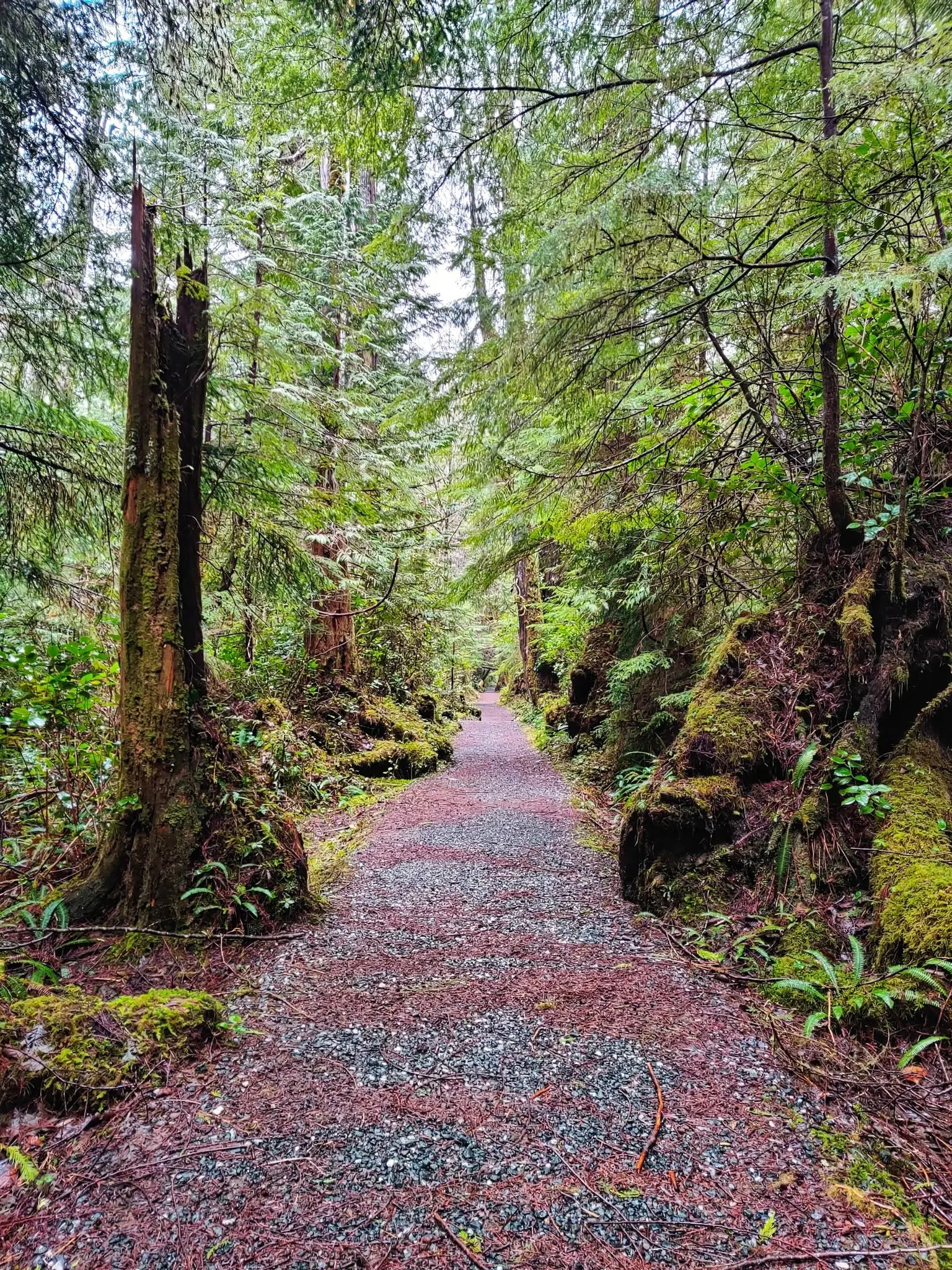
Magnificent old-growth forests are a prominent feature of Area B, particularly within Cape Scott Provincial Park. Here, you can find impressive Sitka spruce and Western red cedar trees, some exceeding seven meters in circumference. The Giant Red Cedar – San Josef Bay loop trail is an excellent way to experience these ancient forests.
Is there a lighthouse I can visit in Area B?
Yes, the Cape Scott Lighthouse, operational since 1960, is a significant landmark in the region. It is accessible via hiking trails that offer stunning views of the coastline. The Cape Scott Lighthouse loop from Nels Bight Campsite is a popular route to reach it.
Most popular routes around Area B (Quatsino Sound/Cape Scott)

Get inspired with the komoot mobile app


Explore more
Still not found the Highlight you’re looking for? See guides of the top attractions in other regions:
