The best road cycling routes around Nanaimo E
5.0
(2)
152
riders
16
rides
Road cycling around Nanaimo E offers a diverse landscape characterized by coastal paths, forested sections, and varied terrain. The region features a mix of paved urban routes and more challenging rides through natural areas, including gentle hills and longer climbs. Cyclists can explore routes that provide ocean vistas, lead through parks, and connect to lakes, catering to different preferences.
Best road cycling routes around Nanaimo E
- The most popular road cycling route is Rocky Coastal Viewpoint loop from Northwest Bay…
Last updated: October 21, 2026
22
riders
Moderate road ride. Good fitness required. Mostly well-paved surfaces and easy to ride.
5.0
(1)
12
riders
28.8km
01:24
200m
200m
Moderate road ride. Great for any fitness level. Some segments of this route may be unpaved and difficult to ride.

14
riders
30.8km
01:38
330m
330m
Moderate road ride. Good fitness required. Mostly well-paved surfaces and easy to ride.
9
riders
31.8km
01:41
430m
430m
Moderate road ride. Good fitness required. Mostly well-paved surfaces and easy to ride.
9
riders
37.3km
02:00
600m
600m
Moderate road ride. Good fitness required. Mostly well-paved surfaces and easy to ride.
Get access to more routes and recommendations from other explorers.
Already have an account?
Our route recommendations are based on thousands of hikes, rides, and runs completed by other people on komoot.
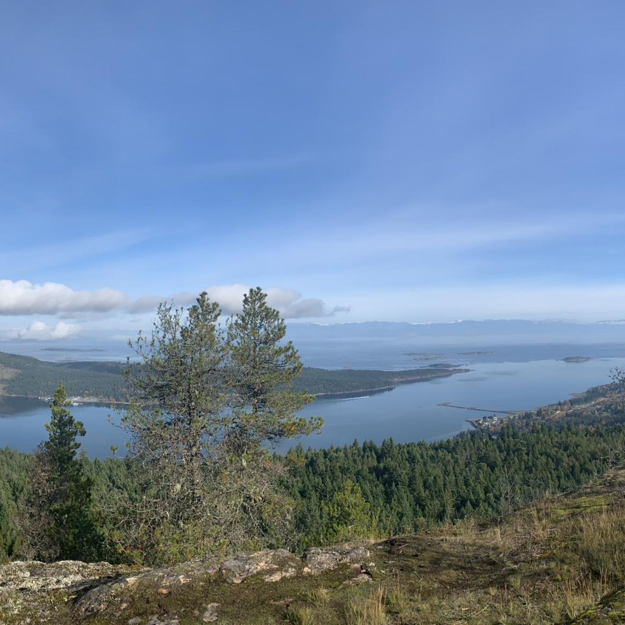
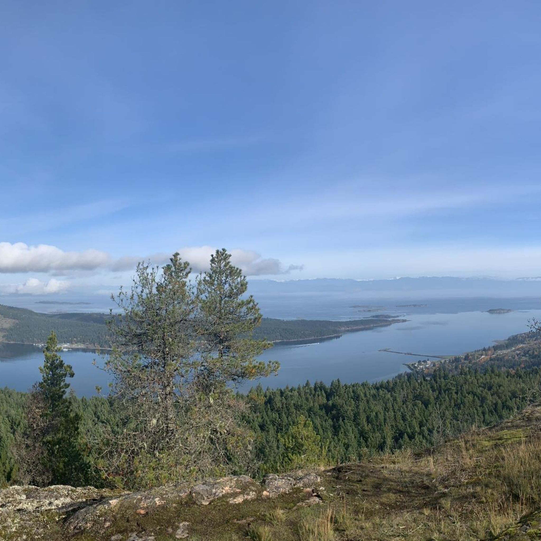
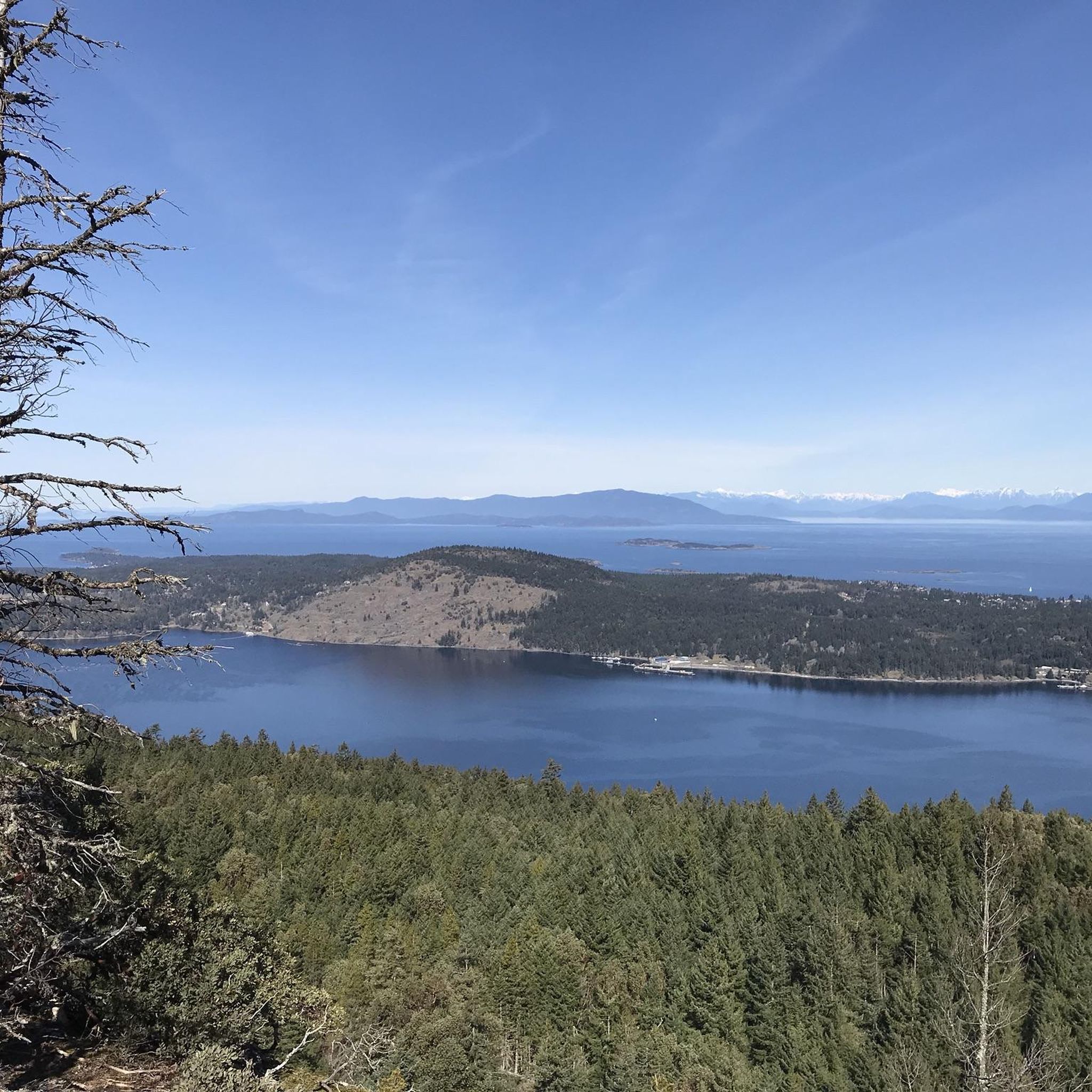
Tips from the Community

Named after the Esquimalt & Nanaimo railway that once occupied this space, this section of the E&N Trail is special for an entirely different reason: It's dotted with signs depicting a total of ten tools and exercises to increase mental resilience. The "mental fitness trail" was created to honor the memory of local man Adam Ojala.
0
0
Despite the name, this isn't so much a park as an open green space, left deliberately undeveloped and helping serve as a connecting corridor to the E&N Trail.
0
0

Parksville is famous for its broad sandy beaches, where the tide can recede nearly a kilometre at low tide, exposing vast sand flats along the Salish Sea. Originally established as a railway town in the late 1800s, it's now one of Vancouver Island's best-known seaside destinations and the home of the annual Parksville Beach Festival sand sculpting competition.
0
0
French Creek Community Park sits beside the harbour overlooking the Strait of Georgia, with views across the water to the Coast Mountains on clear days. It's a great place to watch fishing boats and pleasure craft coming and going from one of Vancouver Island's busiest fishing ports.
0
0

This wide, level, gravel trail covers the seven kilometres between Coombs and Parksville. The path is level and multi-use so most users will find the way easy, whether they're going for a short out and back hike or travelling the full way.
0
0
This small town has a lot of unique charm that you can't find anywhere else. The main attraction is the Old Country Market, which is probably more commonly known as Goats on the Roof, because...there's goats on the roof of course. Inside you'll find unique gift and home decor items as well as a varied selection of groceries. The town also has "Butterfly World" which is an indoor tropical rainforest designed to be a sanctuary for a wide range of butterfly species.
0
0

Stop for an adventurous round of mini-golf or just a delicious ice-cream.
0
0
Frequently Asked Questions
How many road cycling routes are available in Nanaimo E?
There are over 20 road cycling routes around Nanaimo E, catering to various skill levels. The komoot community has explored these routes over 200 times, highlighting the region's diverse terrain.
Are there road cycling routes suitable for beginners or families in Nanaimo E?
Yes, Nanaimo E offers several easy routes, with 4 identified as suitable for beginners. The Ice Cream Stop loop from Parksville is a moderate option that is relatively shorter. Additionally, the paved Parkway Trail and E&N Trail are multi-use paths ideal for a more relaxed ride, and the Waterfront Walkway offers shorter, scenic rides perfect for families.
What kind of terrain can I expect on road cycling routes in Nanaimo E?
Road cycling routes in Nanaimo E feature a diverse landscape, including coastal paths with ocean vistas, forested sections, and varied terrain. You'll find a mix of paved urban routes, gentle hills, and more challenging rides with longer climbs, particularly in areas like Mount Benson and Doumont for those seeking demanding experiences.
Are there any loop road bike trails in Nanaimo E?
Yes, many routes in Nanaimo E are designed as loops. Popular options include the Rocky Coastal Viewpoint loop from Northwest Bay at Beaver Creek Wharf (WB), which offers scenic coastal views, and the T loop from Lantzville, providing a balanced ride through varied local scenery.
What are some scenic viewpoints or natural attractions I can see along the road cycling routes?
Many routes offer stunning coastal views, especially along the Waterfront Walkway and routes near Neck Point Park. You can also find routes that lead through parks like Bowen Park, which features pathways and waterfalls. For unique natural features, consider exploring areas near Ammonite Falls or Copley Waterfall, though some may require a short hike off the bike.
Are there any routes for experienced road cyclists looking for a challenge?
Yes, experienced riders can find challenging routes with significant elevation gains, particularly in areas like Mount Benson and Doumont. The Qualicum Beach Heritage Forest – Ice Cream Stop loop from Arbutus Grove Provincial Park is a longer, moderate route spanning 79 km with considerable elevation, offering a good test of endurance.
Where can I find parking for road cycling routes in Nanaimo E?
Many parks and trailheads in Nanaimo E offer parking facilities. For instance, routes starting from provincial parks like Arbutus Grove Provincial Park or areas near Beaver Creek Wharf typically have designated parking. Urban trails like the Parkway Trail and E&N Trail also have access points with parking options along their length.
Can I find cafe stops or places to rest along the road cycling routes?
Yes, especially on routes that pass through urban areas or along the waterfront. The Waterfront Walkway and Queen Elizabeth Promenade offer numerous opportunities to explore cafes and shops. Routes that traverse downtown Nanaimo also provide convenient access to amenities for a break or refreshment.
What do other road cyclists enjoy most about road cycling in Nanaimo E?
The area is highly rated by the komoot community, with an average score of 5.0 stars from more than 3 reviews. Reviewers often praise the diverse scenery, from picturesque ocean vistas to serene forested sections, and the variety of routes that cater to different fitness levels.
Are there any multi-use trails suitable for road bikes in Nanaimo E?
Absolutely. The Parkway Trail, a 20 km paved multi-use trail, runs along the Nanaimo Parkway, connecting various parts of the city. The E&N Trail is another multi-use paved trail that, along with the Parkway Trail, links cyclists to parks and other areas, making them excellent choices for road bikes.
What is the best time of year for road cycling in Nanaimo E?
Nanaimo E offers good cycling conditions for much of the year. Spring and fall provide pleasant temperatures and vibrant scenery. Summer is also popular, though it can be warmer. Winter cycling is possible, but conditions may vary, so checking local weather is always recommended.
Are there any routes that pass by lakes or rivers?
Yes, some routes connect to areas with lakes and rivers. Westwood Lake Park features a 6 km multi-purpose lake loop trail, which can be a great warm-up or a destination in itself. Colliery Dam Park also offers access to larger and smaller lakes, providing scenic spots for a break.
Most popular routes around Nanaimo E
Most popular attractions around Nanaimo E

Get inspired with the komoot mobile app


Explore more
Browse the best Road cycling routes in other regions.
