The best walks and hikes around Granvinsvatnet
4.5
(48)
235
hikers
12
hikes
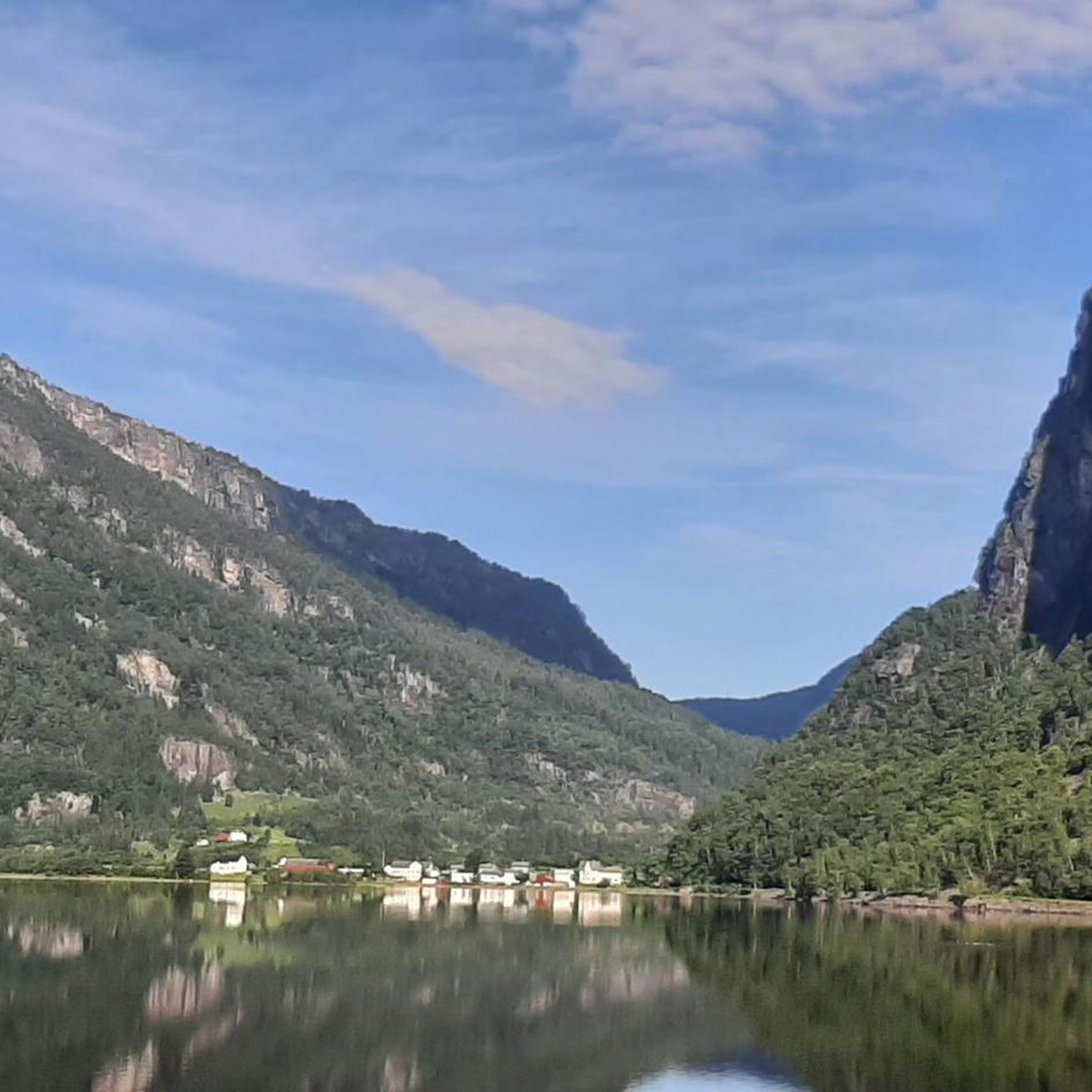
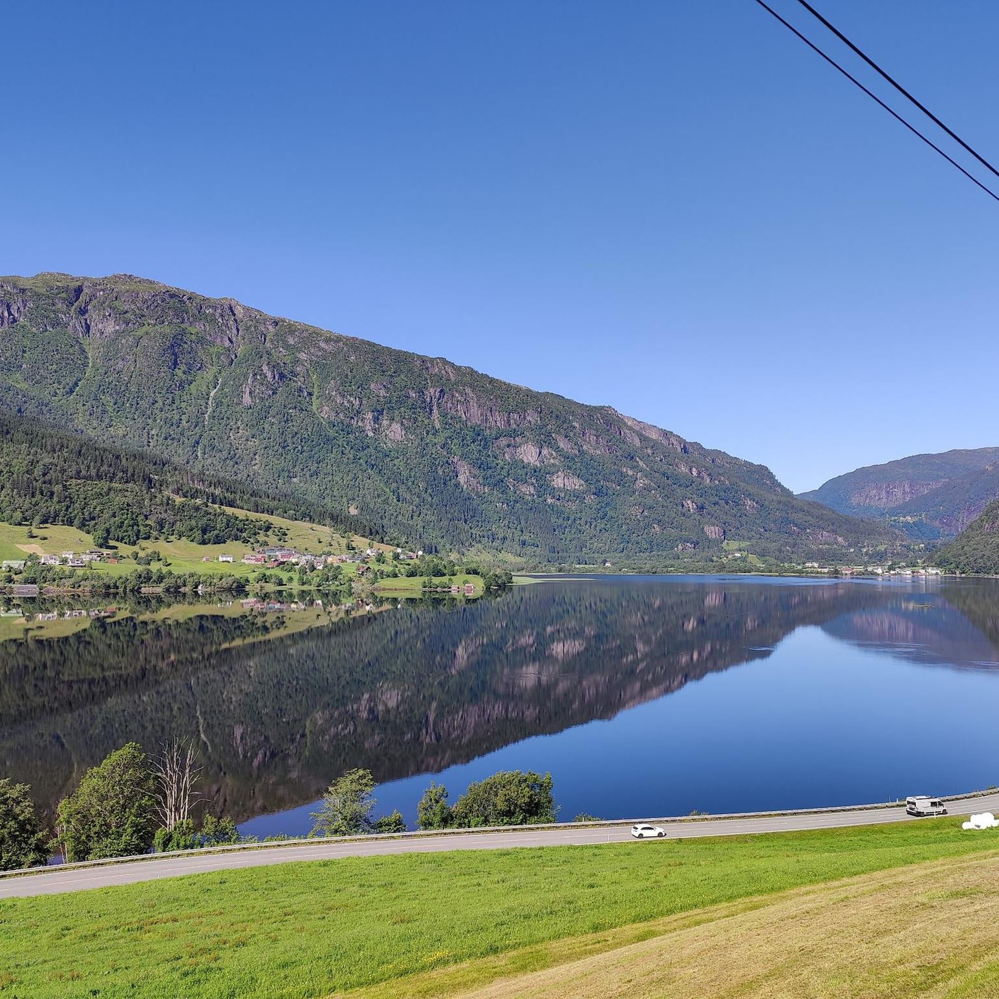
Hiking around Granvinsvatnet offers trails through a landscape characterized by a freshwater lake, a significant river delta, and surrounding mountains. The Granvin Delta, fed by the Storelvi river, is a vital wetland habitat supporting diverse plant and bird species. The region is situated within Voss Municipality, providing access to varied terrain from valley floors to elevated mountain paths. These trails often present views of the lake, fjords like Sørfjorden, and Hardangerfjorden.
Best hiking trails around Granvinsvatnet
- The most popular hiking route is Skråane loop from Granvin, a 4.3 miles (6.9 km) trail that takes 1 hour 59 minutes to complete. This easy route features a moderate elevation gain of 536 feet (163 m).
- Another top favourite among local hikers is Skjervsfossen Waterfall loop from Skjervet, an easy 2.4 miles (3.9 km) path. This trail leads to the impressive Skjervsfossen Waterfall and takes about 1 hour 8 minutes.
- Local hikers also love the View of the Eidfjord – View from Oksen loop from Djønno, a 9.1 miles (14.6 km) trail leading through mountainous terrain with significant elevation gain, often completed in about 5 hours 47 minutes.
- Hiking around Granvinsvatnet is defined by lake views, river deltas, and mountain ascents offering fjord panoramas. The network offers options for different ability levels, from easy strolls to challenging mountain routes.
- The routes in Granvinsvatnet are highly rated by the komoot community with an average score of 4.5 stars from around 40 reviews. More than 200 hikers have used komoot to explore Granvinsvatnet's varied terrain.
Last updated: August 20, 2026
3.3
(3)
5
hikers
6.93km
01:59
160m
170m
Easy hike. Great for any fitness level. Easily-accessible paths. Suitable for all skill levels.
4
hikers
3.89km
01:08
100m
100m
Easy hike. Great for any fitness level. Easily-accessible paths. Suitable for all skill levels.

Sign up for free
4.9
(9)
49
hikers
Easy hike. Great for any fitness level. Easily-accessible paths. Suitable for all skill levels.
4.1
(8)
29
hikers
1.81km
00:32
50m
50m
Easy hike. Great for any fitness level. Easily-accessible paths. Suitable for all skill levels.
5.0
(3)
22
hikers
14.6km
05:47
1,070m
1,070m
Hard hike. Very good fitness required. Easily-accessible paths. Suitable for all skill levels.
Get access to more routes and recommendations from other explorers.
Sign up for free
Already have an account?
Our route recommendations are based on thousands of hikes, rides, and runs completed by other people on komoot.
Start today with a free account
Your next adventure awaits.
Login or Signup
Popular around Granvinsvatnet
Tips from the Community

I've never seen such a stylish public restroom in Germany. Feel free to take a look—even if you don't have to.
0
0


Very beautiful waterfall... even when going to the bathroom, you can keep the view. 🤩
0
1

Beautiful waterfall. There is a parking space above, easy to reach, you can reach several places at the waterfall via stairs and see them clearly.
1
0


easy access for photos of the falls from below
4
4


If you want to save yourself the arduous walk down from the rest area and back up to the rest area, you should make a short stop at the old stone bridge. There is a beautiful view of the waterfall from the bridge.
2
0
Frequently Asked Questions
How many hiking trails are available around Granvinsvatnet?
There are over a dozen hiking trails around Granvinsvatnet, offering diverse experiences from easy strolls to challenging mountain ascents. The komoot community has explored these routes over 200 times, providing valuable insights and ratings.
What kind of natural features can I expect to see while hiking around Granvinsvatnet?
Hiking around Granvinsvatnet offers a variety of natural features. You'll encounter the picturesque freshwater lake itself, the biologically rich Granvin Delta formed by the Storelvi river, and stunning views of surrounding mountains and fjords like Sørfjorden and Hardangerfjorden. The delta is particularly notable for its diverse birdlife and rare plant species.
Are there any easy hiking options suitable for beginners or a relaxed walk?
Yes, Granvinsvatnet offers several easy hiking options. For instance, the Skjervsfossen Waterfall – Public Toilet loop from Palmafossen is a short, easy walk. Another accessible option is the Public Toilet – Skjervsfossen Waterfall loop from Palmafossen, which also provides a gentle experience near the impressive waterfall.
Are there any hikes that feature waterfalls in the Granvinsvatnet area?
Absolutely. The impressive Skjervsfossen Waterfall is a significant natural attraction in the area. You can experience it directly on the Skjervsfossen Waterfall loop from Skjervet, an easy 2.4-mile path that leads you to this scenic spot.
What are the more challenging hikes available for experienced hikers?
For experienced hikers seeking a challenge, the area offers routes with significant elevation gain and mountainous terrain. A notable difficult option is the View of the Eidfjord – View from Oksen loop from Djønno, which is a 9.1-mile trail often taking nearly six hours to complete and rewards with panoramic fjord views.
Are there any circular hiking routes around Granvinsvatnet?
Yes, many of the trails around Granvinsvatnet are designed as loops, allowing you to start and end at the same point. A popular example is the Skråane loop from Granvin, an easy 4.3-mile route that takes just under two hours to complete.
What do other hikers enjoy most about hiking in Granvinsvatnet?
The area is highly rated by the komoot community, with an average score of 4.5 stars from nearly 40 reviews. Hikers often praise the diverse landscape, from tranquil lake views and the unique Granvin Delta to the rewarding mountain ascents that offer breathtaking fjord panoramas.
What is the best time of year to go hiking around Granvinsvatnet?
The best time for hiking around Granvinsvatnet is generally during the warmer months, from late spring to early autumn, when trails are clear of snow and the weather is most favorable. This period allows for full enjoyment of the diverse terrain and stunning views.
Are there opportunities for mountain hikes with fjord views in the Granvinsvatnet region?
Yes, the Granvinsvatnet region is an excellent base for mountain hikes offering spectacular fjord views. Trails like the ascent to Ingebjørgfjellet, which can be extended to Oksen, provide panoramic vistas down to Sørfjorden and Hardangerfjorden, showcasing Western Norway's iconic landscapes.
Is public transport available to reach trailheads around Granvinsvatnet?
While specific public transport details for every trailhead are not provided, Granvinsvatnet is located within Voss Municipality, which generally has public transport connections. It's advisable to check local bus schedules to Granvin or nearby villages for access to specific starting points.
What should I consider regarding parking when planning a hike in the Granvinsvatnet area?
Parking availability can vary by trailhead. For popular spots like Skjervsfossen Waterfall, there are often designated parking areas. For other routes, especially those starting in smaller villages or more remote locations, it's recommended to research specific parking options for your chosen trailhead in advance.
Are there any specific natural landmarks or points of interest near Granvinsvatnet that are worth exploring?
Beyond the hiking trails, the Granvinsvatnet area boasts several natural landmarks. The Granvin Delta is a vital wetland habitat with rich biodiversity. The impressive Skjervsfossen Waterfall is a must-see, located approximately 8.1 km from downtown Granvin. The broader region also offers views of the Hardanger Bridge and access to the stunning fjord landscapes.

Get inspired with the komoot mobile app


Explore more
Browse the best Hikes in other regions.
