The best cycling routes in Franklin County
4.5
(106)
274
riders
34
rides
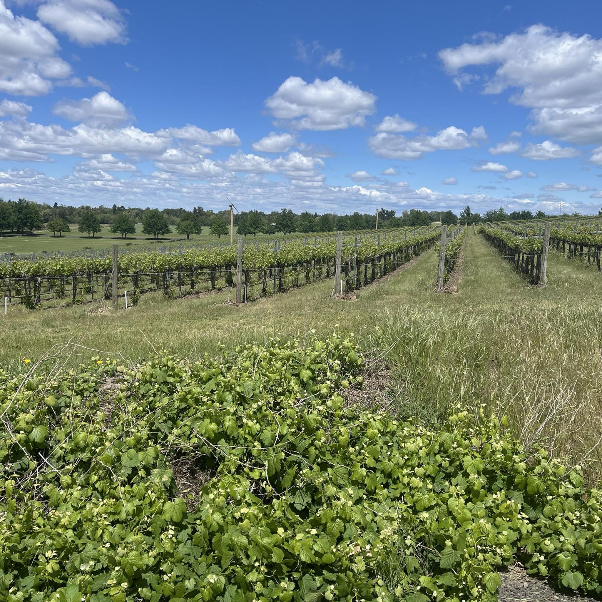
Touring cycling routes in Franklin County, Washington, traverse a landscape shaped by the Columbia River and its tributaries. The region is characterized by flat to gently rolling terrain, with routes often following riverfronts and open plains. This area is part of the Columbia Plateau, offering expansive views and a generally arid environment. The elevation changes are typically minimal, making it suitable for various cycling abilities.
Best touring cycling routes in Franklin County
- The most popular touring cycling route is Sacagawea…
Last updated: June 28, 2026
5.0
(6)
44
riders
32.3km
01:53
80m
80m
Easy bike ride. Great for any fitness level. Mostly paved surfaces. Suitable for all skill levels.
5.0
(4)
18
riders
37.5km
02:12
100m
100m
Moderate bike ride. Good fitness required. Mostly paved surfaces. Suitable for all skill levels.

Sign up for free
5.0
(2)
4
riders
32.1km
01:52
80m
80m
Easy bike ride. Great for any fitness level. Mostly paved surfaces. Suitable for all skill levels.
62.2km
03:41
330m
330m
Moderate bike ride. Good fitness required. Mostly paved surfaces. Suitable for all skill levels.
4.6
(5)
32
riders
Moderate bike ride. Good fitness required. Mostly paved surfaces. Suitable for all skill levels.
4.0
(2)
18
riders
Easy bike ride. Great for any fitness level. Mostly paved surfaces. Suitable for all skill levels.
4.8
(5)
11
riders
37.0km
02:11
100m
100m
Moderate bike ride. Good fitness required. Mostly paved surfaces. Suitable for all skill levels.
5.0
(4)
8
riders
Moderate bike ride. Good fitness required. Mostly paved surfaces. Suitable for all skill levels.
4.5
(2)
12
riders
22.0km
01:14
40m
40m
Easy bike ride. Great for any fitness level. Mostly paved surfaces. Suitable for all skill levels.
4.0
(1)
8
riders
Easy bike ride. Great for any fitness level. Mostly paved surfaces. Suitable for all skill levels.
Get access to more routes and recommendations from other explorers.
Sign up for free
Already have an account?
Our route recommendations are based on thousands of hikes, rides, and runs completed by other people on komoot.
Start today with a free account
Your next adventure awaits.
Login or Signup

Tips from the Community


The trailhead is part of the Columbia Plateau Trail State Park, which is built on old railroad lines. It's located near the Ice Harbor Lock and Dam on the Snake River, which is a huge structure for generating electricity and helping boats pass through.
0
0

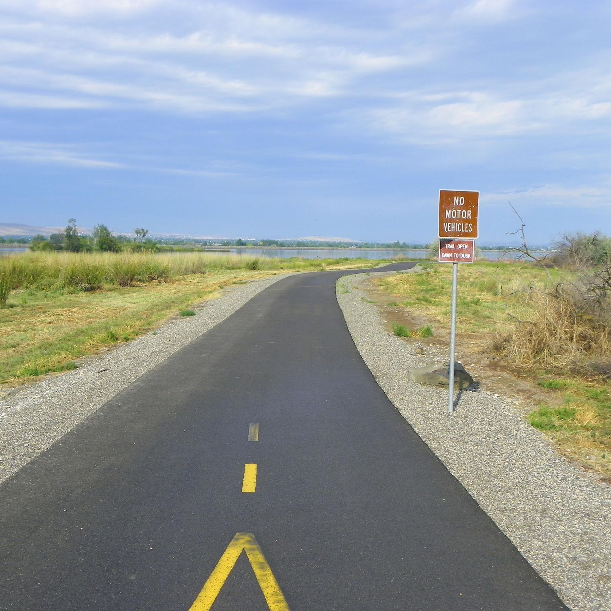
From the multi-use trail, you can see the floodplain where the Yakima River flows into the Columbia River.
0
0

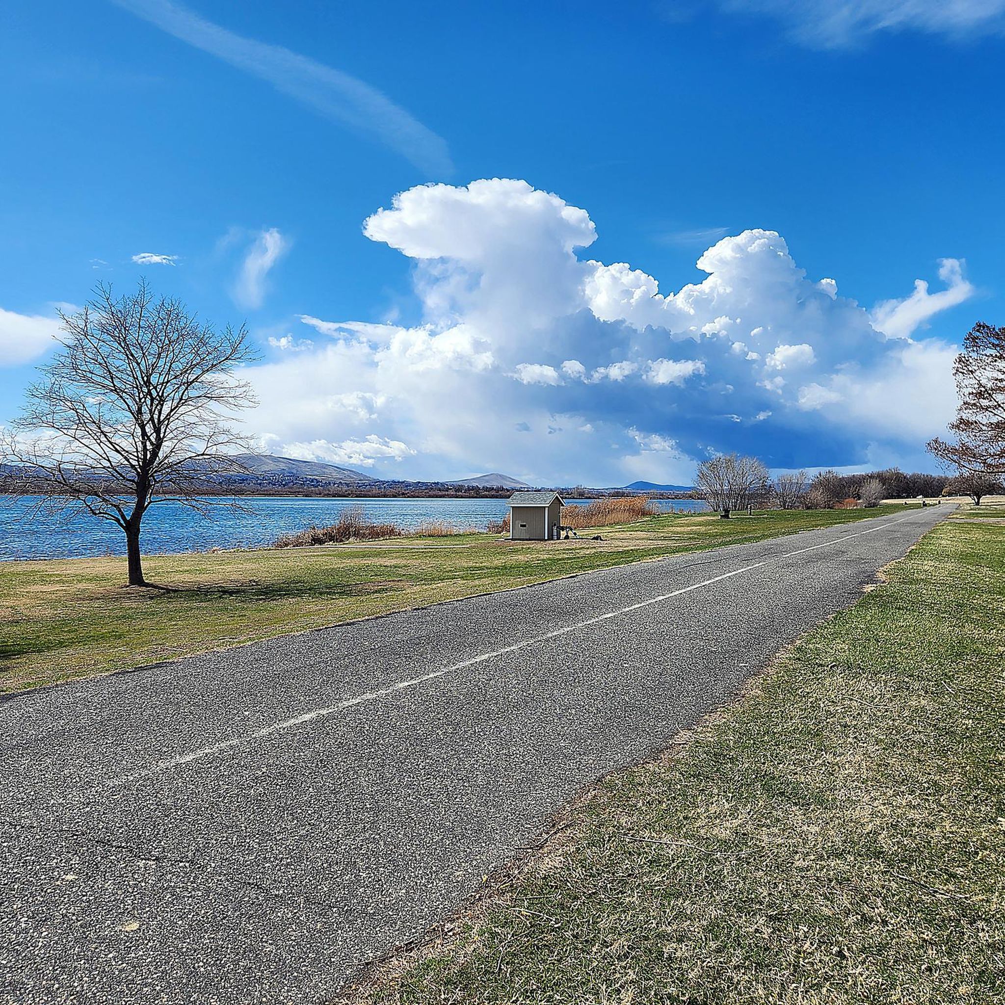
Columbia Park is a 400 acre park that sits on the bank of the Columbia River. There are great views of the wide river from most parts of the park. The park has trails, picnic areas, restrooms, a playground and parking.
0
0
Good view of the Yakima River and Yakima Delta from the pedestrian bridge that crosses the river. The Yakima River is a tributary of the Columbia River. There is a wide variety of plant and animal life around the Yakima River and Delta, including salmon and many types of birds,
0
0
The Riverfront Trail is a mostly paved trail that has some gravel and dirt sections. It follows the Columbia River, so there are great views of the river from the path.
0
0

As you enjoy the Richland Riverfront Trail, you will come across the picturesque Columbia Point Marina. You may consider taking a moment to rest at one of the available benches or pausing your walk to appreciate the sunshine and admire the Columbia River at Columbia Point Marina Park.
0
0
Chamna Natural Preserve is a 276-acre property that features more than 11 miles of trails open to different user groups. There are informational signs along some of the paths explaining facts about the different flora and fauna that call the preserve home. There are lots of trails in the network, so you can create a loop of almost any distance.
0
0
Frequently Asked Questions
How many touring cycling routes are available in Franklin County?
Franklin County offers over 30 touring cycling routes, catering to various skill levels. You'll find a good mix of easy, moderate, and a few more challenging options to explore the region's unique landscape.
What kind of terrain can I expect on touring cycling routes in Franklin County?
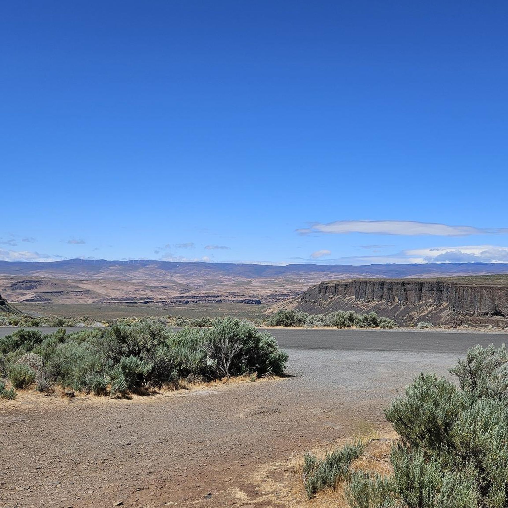
The terrain in Franklin County, Washington, is generally flat to gently rolling, characteristic of the Columbia Plateau. Routes often follow riverfronts, offering expansive views and a mostly arid environment. Elevation changes are typically minimal, making for accessible rides.
Are there easy touring cycling routes suitable for beginners or families?
Yes, Franklin County is very beginner and family-friendly, with 22 out of 34 routes classified as easy. Routes like the Sacagawea Heritage Trail offer scenic, flat paths perfect for a relaxed ride with minimal elevation gain.
What are some longer touring cycling routes in Franklin County?
For those seeking longer distances, the Levey Landing Park via Columbia Plateau Trail State Park route is a notable option, covering over 62 km (38.7 miles). This route takes you through riverfront areas and the Columbia Plateau, offering a more extended cycling experience.
Are there any circular touring cycling routes available?
Yes, several routes offer circular options. For instance, the Sacagawea Heritage Trail – Columbia Park Lakeside View loop from Kennewick provides a moderate 37.2 km (23.1 miles) loop, allowing you to start and end at the same point while enjoying diverse scenery.
What natural features or landmarks can I see along the touring cycling routes?
Many routes in Franklin County follow the Columbia River, offering picturesque riverfront views. You'll also encounter the expansive landscapes of the Columbia Plateau and can explore areas like Levey Landing Park. The Sacagawea Heritage Trail, for example, provides scenic vistas along the river.
What is the best time of year for touring cycling in Franklin County?
Given the arid environment of the Columbia Plateau, spring and fall are generally the most pleasant seasons for touring cycling in Franklin County. The temperatures are milder, and the natural scenery is vibrant, making for comfortable rides.
Can I bring my dog on the touring cycling routes?
While many outdoor areas in Franklin County are dog-friendly, it's always best to check specific trail regulations before heading out. Generally, dogs on a leash are welcome on multi-use trails, but confirm any restrictions for state parks or specific sections of trails.
Where can I find parking for the touring cycling routes?
Parking is typically available at trailheads and parks that serve as starting points for routes. For example, routes like the Levey Landing Park via Columbia Plateau Trail State Park often have designated parking areas at or near the park entrances.
What do other touring cyclists say about the routes in Franklin County?
The touring cycling routes in Franklin County are highly rated by the komoot community, with an average score of 4.6 stars from over 70 reviews. Cyclists often praise the well-maintained riverfront paths, the expansive views, and the accessibility of the routes for various skill levels.
Are there any challenging touring cycling routes for experienced cyclists?
While most routes are easy to moderate, Franklin County does offer a few more challenging options for experienced cyclists, with 3 routes classified as difficult. These routes may feature slightly more varied terrain and greater elevation gains compared to the predominantly flat riverfront paths.
Are there routes that connect to other trail systems?
Yes, some routes in Franklin County connect to or utilize parts of larger trail systems. For example, the Levey Landing Park via Columbia Plateau Trail State Park route incorporates sections of the Columbia Plateau Trail State Park, offering connections to a broader network.
Most popular routes in Franklin County

Get inspired with the komoot mobile app


Didn’t find what you were looking for?
Check out more Cycling routes throughout Franklin County below and find the perfect route in your destination.
Explore more
Browse the best Cycling routes in other regions.
