The best running trails in Montgomery County
4.3
(18)
2,261
runners
140
runs
Jogging routes in Montgomery County, MD, traverse a diverse landscape featuring extensive trail networks, stream valleys, and numerous parks. The region is characterized by a mix of paved multi-use paths and natural-surface trails, often winding through shaded woodlands and alongside creeks. These varied environments provide options for runners seeking flat, accessible routes or those looking for more challenging trails with moderate elevation changes.
Best jogging routes in Montgomery County
- The most popular jogging route is Lone Star and North Wilderness…
Last updated: October 10, 2026
2
runners
6.78km
00:45
20m
20m
Jog the moderate 4.2-mile Forest Loop in William Goodrich Jones State Forest, passing Twin Ponds and varied forest paths.
2
runners
11.4km
01:11
60m
60m
The Lone Star and North Wilderness Loop offers a deep dive into the East Texas Piney Woods, providing a primitive jogging experience through dense forests and occasional swampy sections. You'll…

4.7
(3)
257
runners
6.88km
00:45
10m
10m
Moderate run. Good fitness required. Mostly paved surfaces. Suitable for all skill levels.
5.0
(1)
132
runners
Easy run. Great for any fitness level. Mostly paved surfaces. Suitable for all skill levels.
122
runners
Hard run. Very good fitness required. Mostly paved surfaces. Suitable for all skill levels.
5.0
(2)
224
runners
Moderate run. Good fitness required. Mostly paved surfaces. Suitable for all skill levels.
4.0
(2)
59
runners
5.39km
00:35
10m
10m
Moderate run. Good fitness required. Mostly paved surfaces. Suitable for all skill levels.
36
runners
13.1km
01:24
30m
30m
Moderate run. Good fitness required. Mostly paved surfaces. Suitable for all skill levels.
33
runners
12.6km
01:19
30m
30m
Moderate run. Good fitness required. Mostly paved surfaces. Suitable for all skill levels.
26
runners
6.66km
00:43
20m
20m
Moderate run. Good fitness required. Mostly paved surfaces. Suitable for all skill levels.
Get access to more routes and recommendations from other explorers.
Already have an account?
Our route recommendations are based on thousands of hikes, rides, and runs completed by other people on komoot.
Start today with a free account
Your next adventure awaits.
Popular around Montgomery County
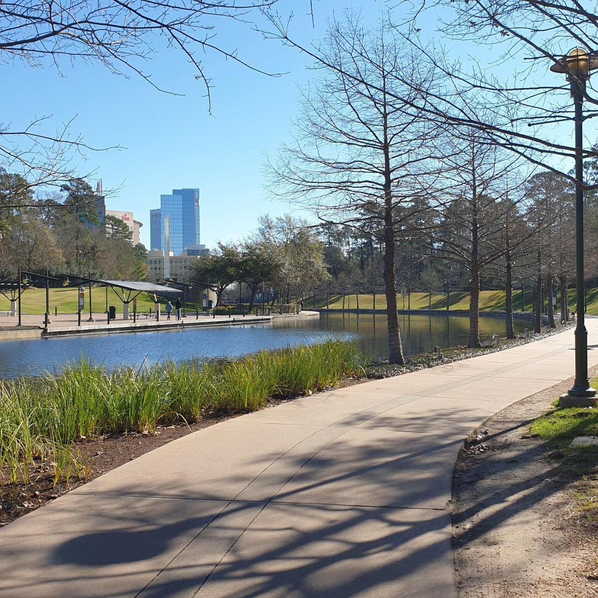
Running Trails around The Woodlands

Running Trails around Oak Ridge North
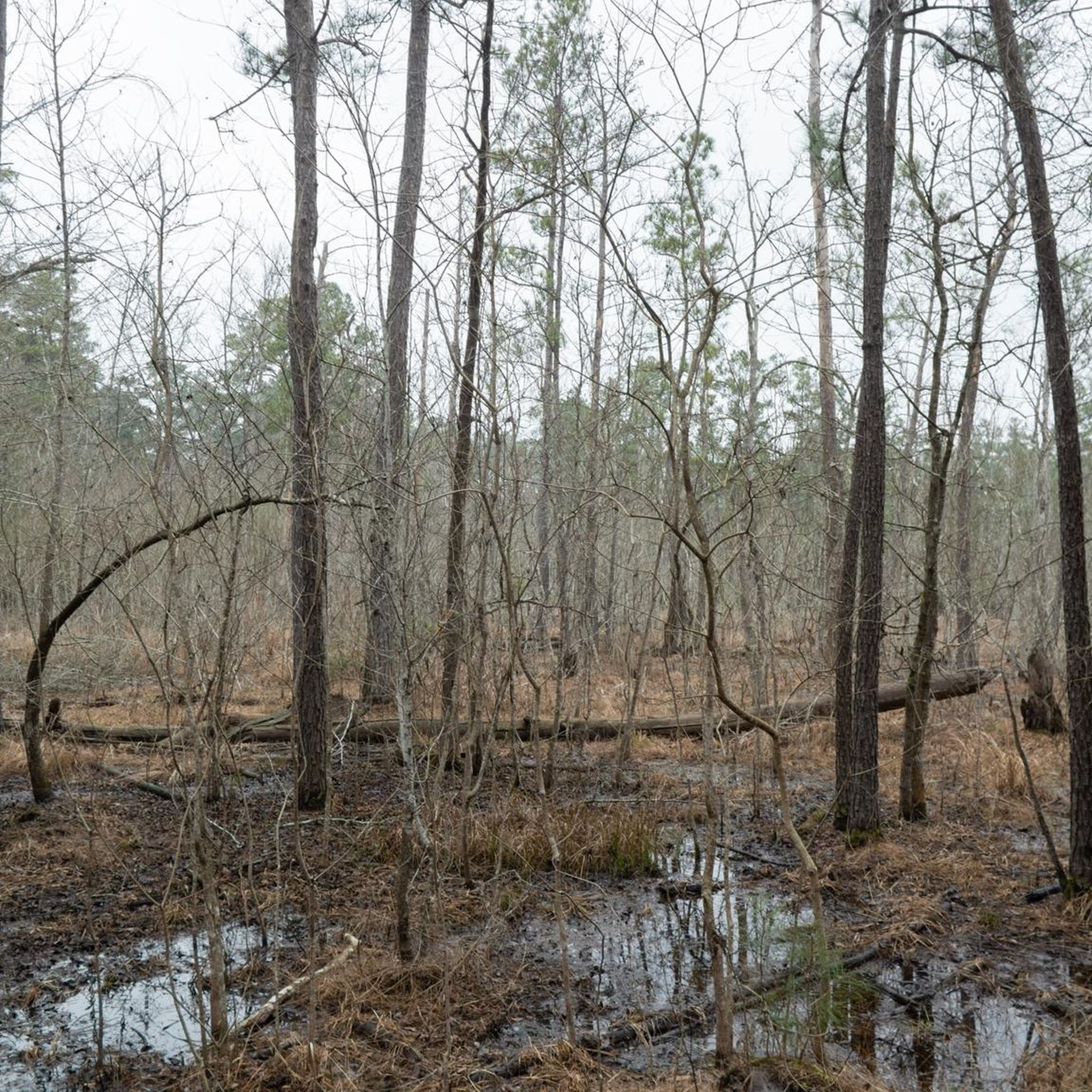
Running Trails in William Goodrich Jones State Forest
Running Trails around Conroe

Running Trails around Shenandoah

Running Trails around Woodloch

Running Trails around Pinehurst

Running Trails around Porter Heights
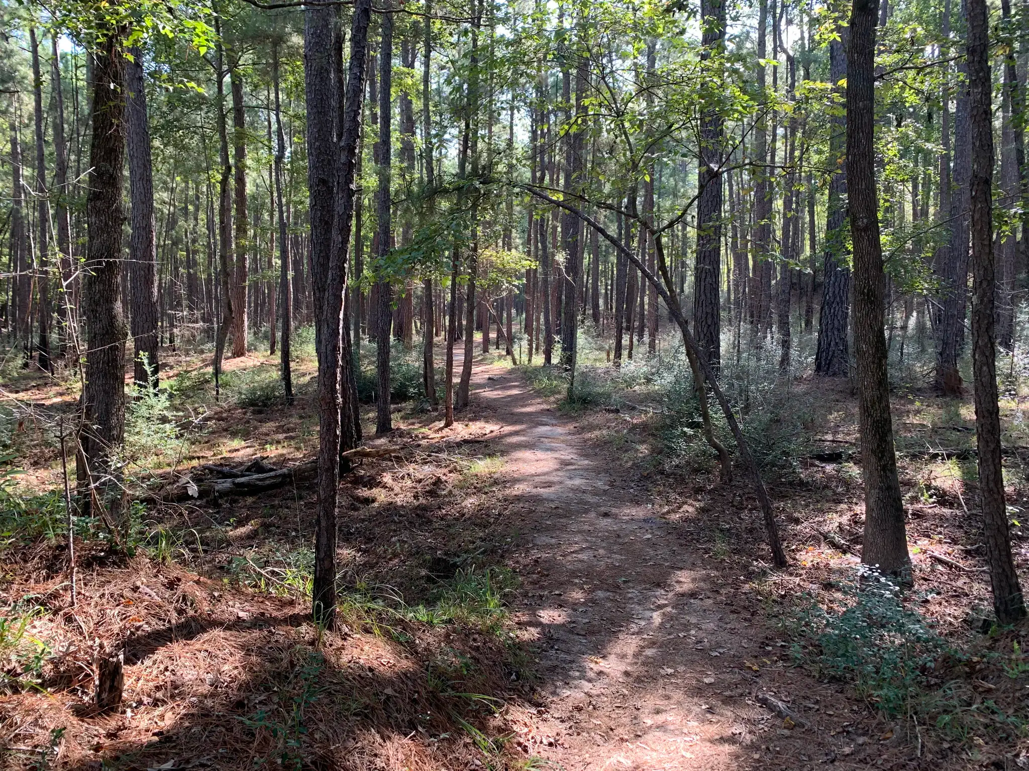
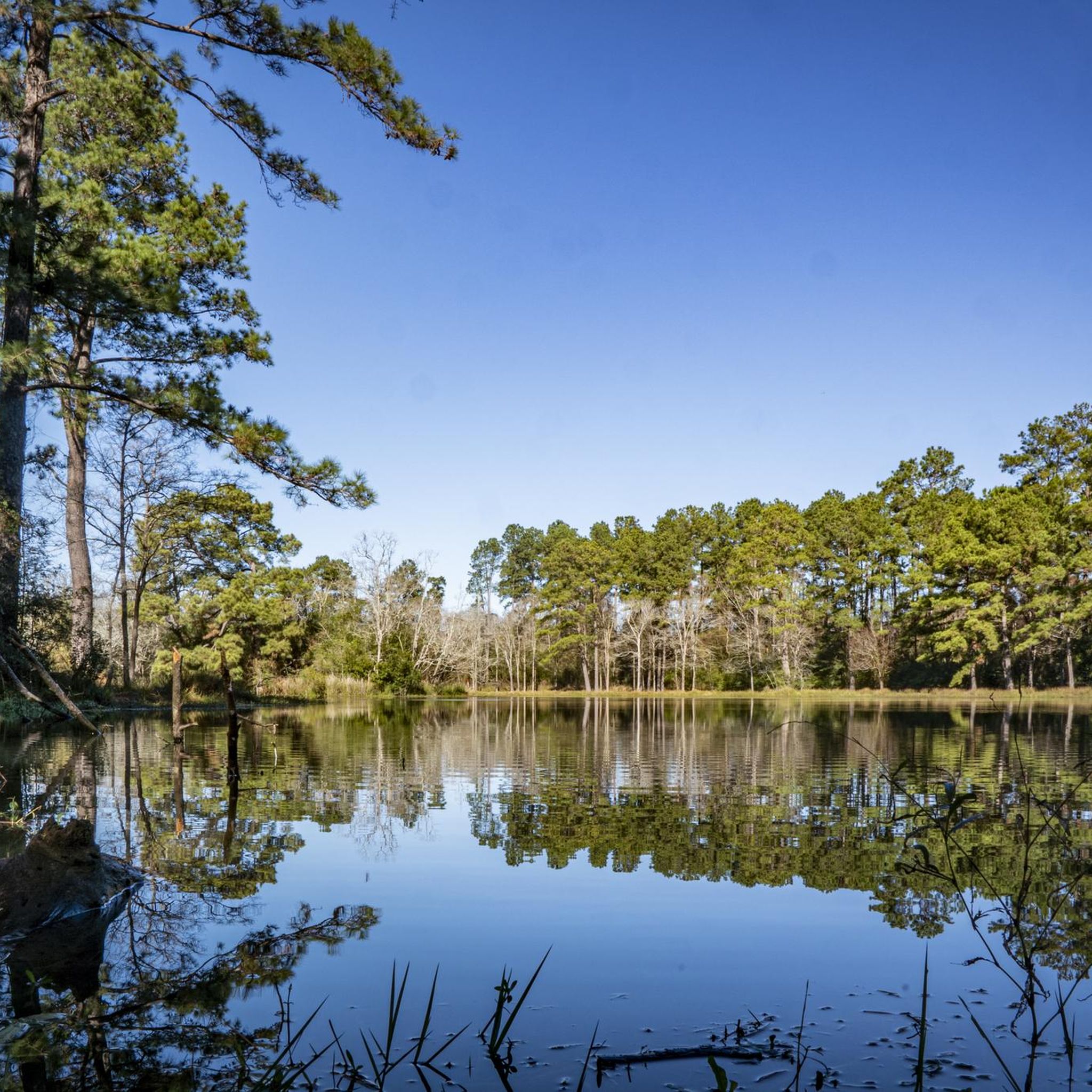
Lone Star Hiking Trail — Tall pines, southern magnolias & palmetto flats
Hiking in Montgomery County
Other adventures in Montgomery County

Tips from the Community

From here you have an excellent view over the water. It's easily accessible via The Woodlands Waterway path that runs alongside the water.
2
0

The north side of Lake Woodlands has a great little network of paved trails along the lakeside, from Northshore Park up to Research Forest Drive. The lake itself has decorative fountains and it is not uncommon to see people boating out on the water.
0
0


Clover Park is located in a residential area and features a paved path and BBQ pits, along with amenities such as belt swings, bucket swings, fishing areas, parking spaces, pavilions and gazebos, picnic tables, and play equipment suitable for both older and younger children.
0
0

This bridge is a great spot to check out Lake Woodlands. Northshore Park is on one side of the bridge, while the trail extends in both directions.
0
0
The Woodlands Waterway is considered the "lifeblood of the city" and is lined on both sides of the water by a paved walkway that a lot of people use as a commuter trail and exercise trail. You pass sculptures, parks, and fountains as you walk along the water's edge.
0
0

Lake Robbins is a nice buffer against the concrete mass of I-45, which sits on the east side of the lake. The west side, by contrast, is much more tranquil, with the Woodlands Waterway curving along the shore — so you can run west or east from here while still staying along the water.
0
0
The Woodlands Waterway is considered the "lifeblood of the city" and is lined on both sides of the water by a paved walkway that a lot of people use as a commuter trail and exercise trail. You pass sculptures, parks, and fountains as you ride along the water's edge.
0
0
Frequently Asked Questions
How many running routes are available in Montgomery County?
Montgomery County offers a wide selection of running routes, with over 120 trails documented on komoot. These routes cater to various preferences, from easy, flat paths to more challenging trails with varied terrain.
What kind of terrain can I expect on jogging routes in Montgomery County?
You'll find a diverse range of terrain, from paved, multi-use paths to rugged, natural-surface trails. Many routes wind through shaded woodlands and alongside stream valleys. For example, the Sligo Creek Trail is predominantly flat and paved, while parts of Rock Creek Park offer varied terrain with elevation changes.
Are there any easy or beginner-friendly running paths in the area?
Yes, Montgomery County has numerous easy and beginner-friendly options. Many paved trails, like sections of the Sligo Creek Trail or the North Bethesda Trail, offer accessible and relatively flat surfaces. The region has 18 easy routes available on komoot, perfect for a relaxed run.
Can I find routes with significant elevation changes for a more challenging run?
Absolutely. For a more challenging experience, you can explore trails with elevation changes, such as some routes within Rock Creek Park or the Cabin John Trail Loop. Sugarloaf Mountain also offers well-marked loop trails, including the challenging 5.5-mile Blue Northern Peak Trail, though it's primarily known for hiking.
Which running trails are suitable for families with children?
Many of the paved, multi-use paths are excellent for families. The Sligo Creek Trail is a great option, being mostly flat and shaded. Wheaton Regional Park also offers nature trails and a serene environment suitable for family outings. For a pleasant experience through forested areas, consider the Forest Loop.
Are dogs allowed on the jogging trails in Montgomery County?
Many parks and trails in Montgomery County are dog-friendly, but it's always best to check specific park regulations before you go. Generally, dogs are welcome on leash on most multi-use trails and in regional parks. Always ensure you clean up after your pet.
Are there any circular running routes in Montgomery County?
Yes, many trails offer circular options. For instance, the Cabin John Trail Loop provides a 3.2-mile circular route. You can also find various loops within larger parks like Little Bennett Regional Park, which offers over 20 miles of clearly marked trails through diverse habitats. The Lone Star and North Wilderness Loop is a popular circular route.
What natural features or landmarks can I see while running in Montgomery County?
Montgomery County's trails often feature beautiful natural scenery. You can run alongside stream valleys, through high-quality forests, and past serene ponds. Notable attractions include Lake Woodlands, the historic Dalecarlia Tunnel on the Capital Crescent Trail, and the scenic views along the C&O Canal Towpath, especially near Great Falls. You might also spot wildlife along routes like the Seneca Creek Greenway Trail.
Are there paved running trails for a smoother experience?
Yes, Montgomery County has an extensive network of paved trails perfect for a smoother running experience. The Sligo Creek Trail, Capital Crescent Trail, and North Bethesda Trail are prime examples of paved, multi-use paths that are popular among runners.
How can I access the running trails using public transport?
Many trails in Montgomery County are accessible via public transportation, particularly those closer to urban centers like Silver Spring and Bethesda. For specific routes, it's recommended to check local bus and metro schedules in conjunction with trailheads. The Capital Crescent Trail, for example, runs from west Silver Spring towards D.C., making it accessible from various points.
Where can I find parking near popular running routes?
Most regional parks and major trailheads in Montgomery County offer designated parking areas. For instance, you can find parking at Wheaton Regional Park, Seneca Creek State Park, and Little Bennett Regional Park. The Maryland side of Great Falls is accessible from the Carderock Recreation Area Parking Lot along the C&O Canal Towpath.
What do other runners say about the trails in Montgomery County?
The running routes in Montgomery County are highly rated by the komoot community, with an average score of 4.4 stars from over 10 reviews. Reviewers often praise the diverse landscapes, from stream valley trails to wooded parks, and the variety of options for different ability levels. Over 1600 runners have used komoot to explore the area's varied terrain.
Are there any trails that follow stream valleys?
Yes, stream valley trails are a defining characteristic of jogging in Montgomery County. The Sligo Creek Trail meanders alongside Sligo Creek, and the Cabin John Stream Valley Trail offers a rugged option along Cabin John Creek. The Great Seneca Stream Valley Park also features the 7.8-mile Seneca Greenway Trail, providing lush greenery and opportunities for wildlife sightings.
Most popular routes in Montgomery County
Most popular attractions in Montgomery County

Get inspired with the komoot mobile app


Didn’t find what you were looking for?
Check out more Running Trails & Routes throughout Montgomery County below and find the perfect route in your destination.
Explore more
Browse the best Running Trails & Routes in other regions.
