The best road cycling routes in Summit County
4.6
(10)
953
riders
80
rides
Road cycling in Summit County is characterized by its diverse terrain within the Rocky Mountains, featuring high peaks and an extensive network of paved roads and recreational pathways. The region's landscape includes prominent ranges like the Gore, Tenmile, and Front Ranges, with elevations offering varied experiences. Key features for cyclists include the expansive Dillon Reservoir and the Blue River, which carves valleys through the mountainous environment.
Best road cycling routes in Summit County
- The most popular road cycling route is…
Last updated: August 31, 2026
13
riders
83.3km
03:41
550m
550m
Moderate road ride. Good fitness required. Mostly well-paved surfaces and easy to ride.
7
riders
40.6km
02:33
250m
250m
Moderate road ride. Good fitness required. Mostly well-paved surfaces and easy to ride.

Sign up for free
48.2km
02:04
370m
370m
Moderate road ride. Good fitness required. Mostly well-paved surfaces and easy to ride.
1
riders
54.8km
02:24
450m
450m
Moderate road ride. Good fitness required. Mostly well-paved surfaces and easy to ride.
3
riders
52.9km
02:36
570m
580m
Moderate road ride. Good fitness required. Mostly well-paved surfaces and easy to ride.
53
riders
Moderate road ride. Good fitness required. Some segments of this route may be unpaved and difficult to ride.
40
riders
77.1km
03:36
520m
520m
Moderate road ride. Good fitness required. Some segments of this route may be unpaved and difficult to ride.
40
riders
Moderate road ride. Good fitness required. Mostly well-paved surfaces and easy to ride.
34
riders
Moderate road ride. Good fitness required. Some segments of this route may be unpaved and difficult to ride.
64
riders
81.2km
04:02
330m
330m
Moderate road ride. Good fitness required. Some segments of this route may be unpaved and difficult to ride.
Get access to more routes and recommendations from other explorers.
Sign up for free
Already have an account?
Our route recommendations are based on thousands of hikes, rides, and runs completed by other people on komoot.
Start today with a free account
Your next adventure awaits.
Login or Signup
Popular around Summit County
Road Cycling Routes around Akron
Road Cycling Routes in Cuyahoga Valley National Park

Road Cycling Routes around Fairlawn
Road Cycling Routes around Barberton

Road Cycling Routes around Norton

Road Cycling Routes around Portage Lakes

Road Cycling Routes around Sawyerwood
Road Cycling Routes around Reminderville
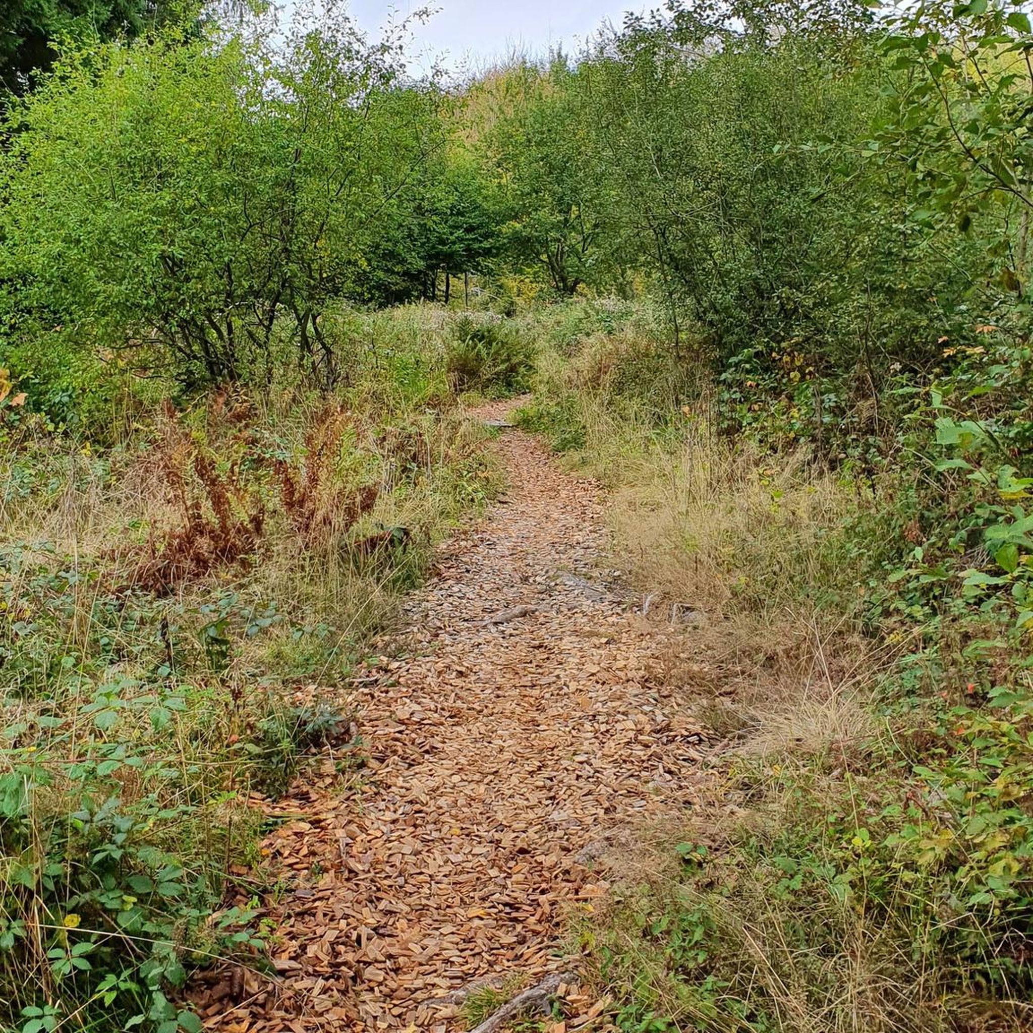
Road Cycling Routes around Twinsburg
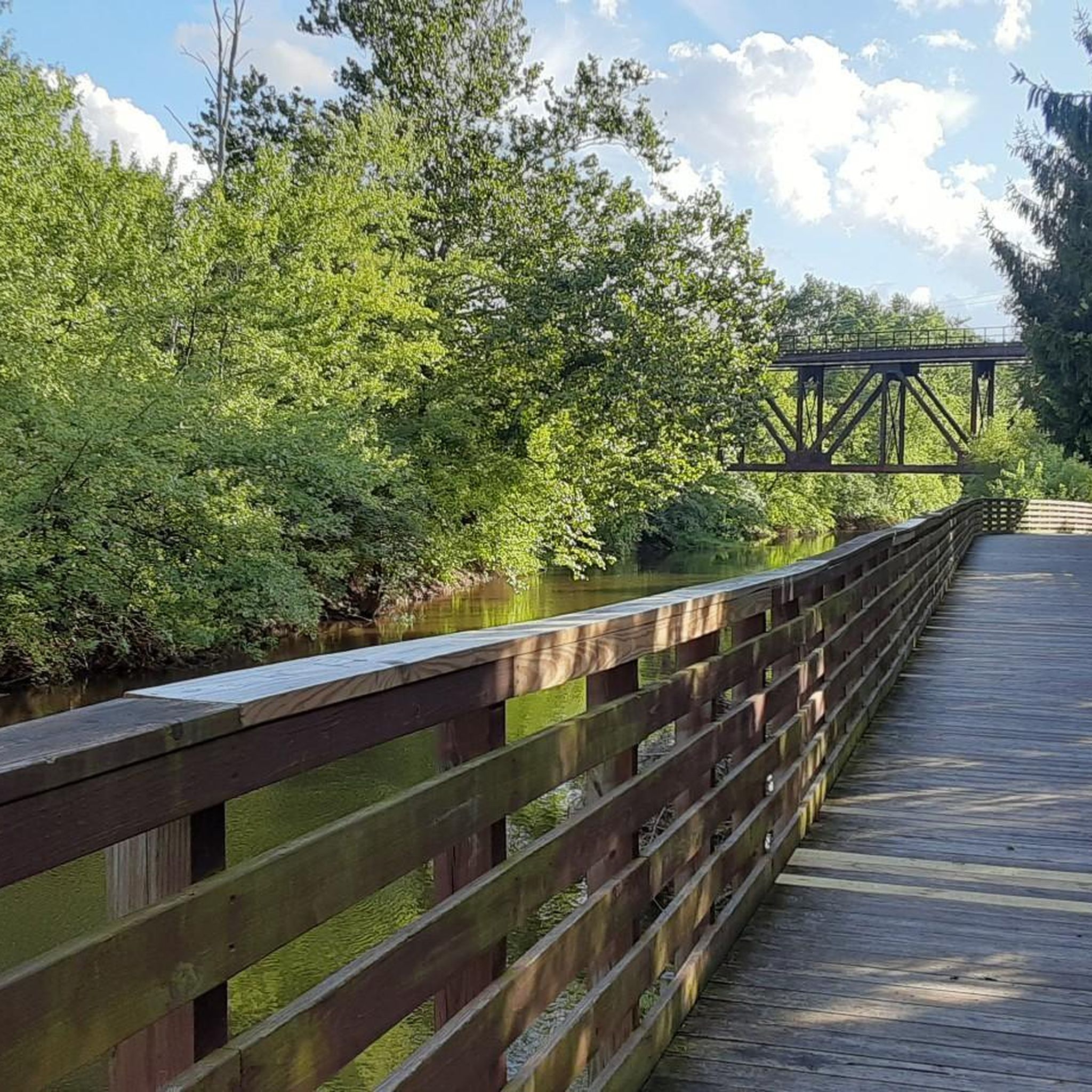
Road Cycling Routes around Tallmadge


Tips from the Community

Good alternative parking spot for the towpath if Peninsula lots are full
0
0

From this trailhead you can access several miles of mountain biking trails. The main trail, Lamb Loop runs about 5 miles with some fun curves and mixed terrain. There are a couple other connector trails offering shorter loops or different terrain as well.
0
0

The Exploration Center is well worth a visit if you are venturing out on the O&E Towpath. The center is small, but holds a lot of history from mid-19th century America. There are restrooms at the trailhead which remain open, even when the center is closed.
0
0
The now-overgrown lock was once an integral part of the Ohio & Erie Canal. A sign by on the towpath tells the history of the old lock.
0
0
There is a small parking lot here which grants access to the Bedford Reservation mountain biking trails. You have a range of trails to choose from, some of which feature lots of roots and rocks, and others which make for easier riding.
0
0

Cuyahoga Valley National Park sits between the cities of Cleveland and Akron along the Cuyahoga River. The park consists of 33,000 acres of deep forests, waterfalls, rolling hills, and farmland.
0
0

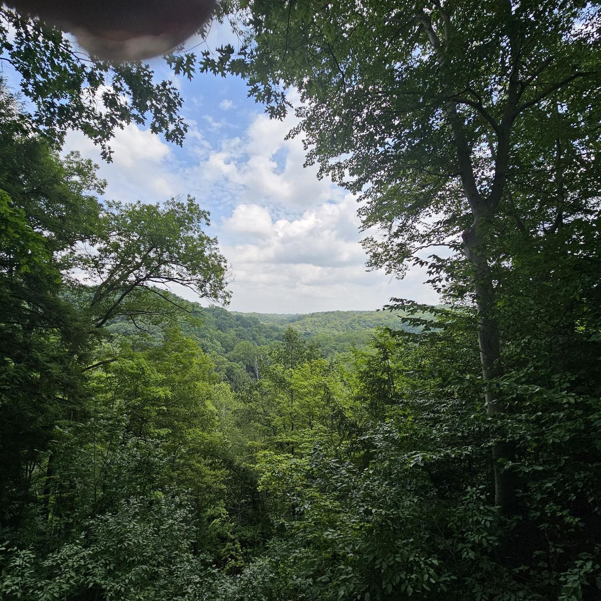
Tinker’s Creek Gorge Scenic Overlook offers a breathtaking view of the gorge and its cascading waterfalls. Whether you're cycling, hiking, or simply enjoying the scenery, the overlook provides panoramic views of the lush landscape and the deep, winding gorge below. The area is accessible and offers a quiet, serene atmosphere, ideal for those looking to connect with nature.
1
0
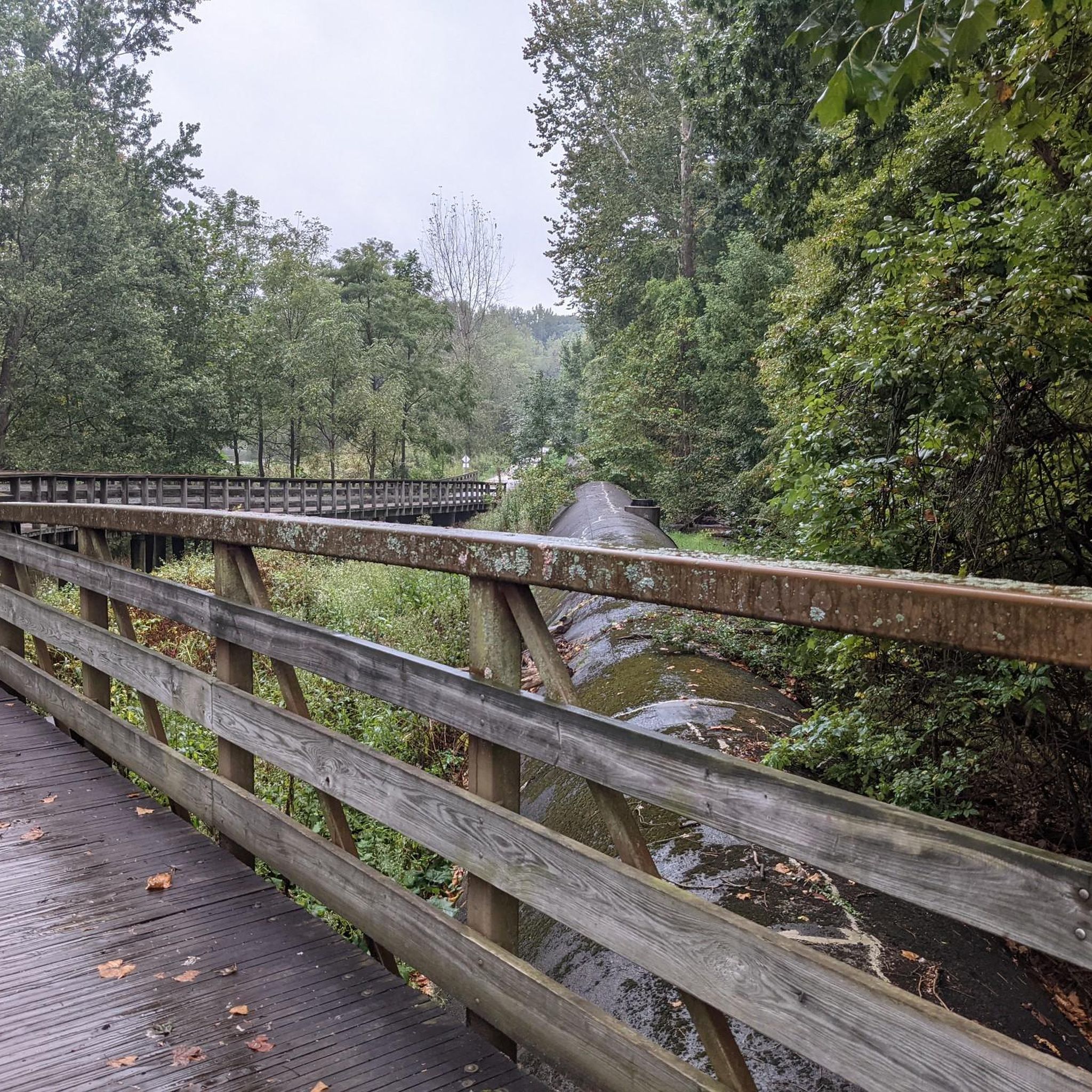
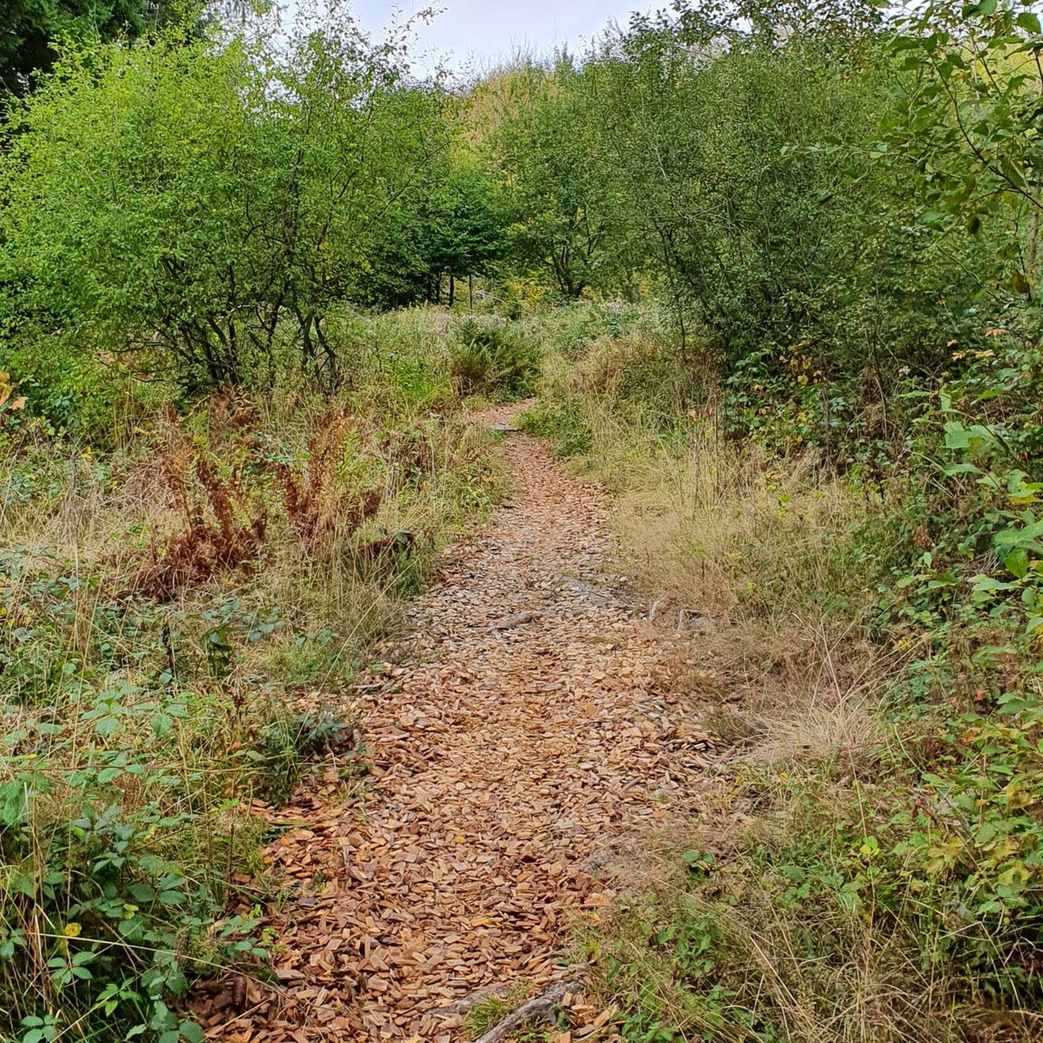
The Ohio & Erie Canal Towpath Trail, spanning over 90 miles as of 2022, is set to reach 101 miles upon completion. Stretching from Canal Basin Park in Cleveland to Canal Lands Park in New Philadelphia, Ohio, this trail traces the historic path where mules once pulled canal boats between 1827 and 1913. Today, the trail aligns with the historic towpath as closely as possible, guided by old maps and remaining traces. Visitor centers along the route offer insights into the cultural, historic, natural, and recreational significance of the trail. This section of the trail is compacted dirt. Although the ride is comfortable, use caution when wet.
0
0
Frequently Asked Questions
What types of terrain can I expect on road cycling routes in Summit County?
Summit County offers a diverse range of road cycling terrain, from extensive paved recreational pathways connecting towns to challenging high-altitude mountain passes. You'll find routes around the expansive Dillon Reservoir, through deep valleys carved by the Blue River, and up into the dramatic alpine environments of the Gore, Tenmile, and Front Ranges. Expect significant elevation changes on many routes, providing varied experiences for all skill levels.
Are there road cycling routes suitable for beginners or families in Summit County?
Yes, Summit County has options for less experienced riders and families. The extensive Summit County Recreational Pathway System (Recpath) offers accessible and scenic paved routes connecting the county's towns. The Meadowbrook Lake loop from Bike and Hike Trail Parking is an easy route, covering about 21 miles with minimal elevation gain, making it a good choice for a relaxed ride.
What are some challenging road cycling routes for experienced riders in Summit County?
For experienced cyclists seeking a challenge, Summit County boasts demanding climbs over high-altitude passes such as Loveland Pass (11,990 feet), Hoosier Pass (11,542 feet), Fremont Pass (11,318 feet), and Tennessee Pass (10,424 feet). These routes feature significant elevation gains and unparalleled alpine panoramas. The iconic 80-mile Copper Triangle also offers a rigorous challenge, traversing three mountain passes and involving approximately 6,100 feet of climbing.
When is the best time of year for road cycling in Summit County?
The best time for road cycling in Summit County is generally during the warmer months, from late spring through early autumn. This period offers the most favorable weather conditions, with mountain passes typically clear of snow and the extensive Recpath system fully accessible. Autumn is particularly celebrated for its stunning foliage, with aspens transforming into a 'golden wonderland' along routes like Boreas Pass.
Are there any scenic loop routes for road cycling in Summit County?
Yes, Summit County features several scenic loop routes. A local favorite is the Lake Dillon Loop, a 19-mile ride with constant changes in direction, short climbs, and descents, including an ascent over Swan Mountain. Another option is the Freedom Trail and Bike & Hike Trail Loop, which combines dedicated bike paths with scenic sections for a varied experience.
What landmarks or natural attractions can I see along road cycling routes in Summit County?
Many routes offer stunning views and access to natural attractions. You can cycle past the expansive Dillon Reservoir, enjoy views of the Blue River, or experience dramatic segments of the Continental Divide at Loveland Pass. For specific points of interest, consider routes near Brandywine Falls, the Ledges Overlook, or the tranquil Summit Lake.
How many road cycling routes are available in Summit County?
Summit County offers a wide array of road cycling opportunities, with over 75 routes available on komoot. These routes cater to various skill levels, including 23 easy routes and 55 moderate routes, ensuring there's something for every cyclist.
Where can I find parking for road cycling trails in Summit County?
Parking is available at various trailheads and access points throughout Summit County. The Summit County Recreational Pathway System (Recpath) connects the county's towns, and many of these towns offer public parking. For example, the Boston Trailhead is a known parking location that provides access to cycling routes.
Are there any routes that offer continuous mountain views?
Yes, the Upper Blue Recpath is a notable 15-mile paved route that provides continuous mountain views as you cycle. Many of the routes traversing the high mountain passes, such as Loveland Pass or Hoosier Pass, also offer breathtaking panoramic alpine vistas throughout the ride.
What do other road cyclists say about the routes in Summit County?
The road cycling routes in Summit County are highly rated by the komoot community, with an average score of 5.0 stars from over 5 reviews. More than 800 road cyclists have used komoot to explore the varied terrain, often praising the well-maintained paths, stunning mountain scenery, and diverse options for different ability levels.
Can I access road cycling routes using public transport in Summit County?
Summit County offers public transportation options, such as the Summit Stage bus system, which can help connect cyclists to various towns and trailheads. While specific bike-friendly routes or racks should be verified with the transit provider, using public transport can be a convenient way to access different starting points for your rides.
Are there any routes that are less crowded or considered 'hidden gems'?
While many routes are popular, the Montezuma Climb is often favored by serious cyclists for its light car traffic, offering a more focused climbing experience with about 900 feet of elevation gain over 5 miles. Exploring segments of the extensive Recpath system away from the main town centers can also provide quieter riding experiences.
Most popular routes in Summit County
Most popular attractions in Summit County

Get inspired with the komoot mobile app


Didn’t find what you were looking for?
Check out more Road cycling routes throughout Summit County below and find the perfect route in your destination.
Explore more
Browse the best Road cycling routes in other regions.
