The best cycling routes in Mason County
4.8
(6)
87
riders
16
rides
Touring cycling in Mason County offers diverse routes across varied landscapes, primarily characterized by scenic views, rolling hills, and opportunities to spot wildlife. The region features a mix of well-paved surfaces and some unpaved segments, particularly around lakes and through forested areas. Cyclists can explore routes along watersides, through dense woodlands, and past serene lakes, with options ranging from gentle rides to more demanding terrains with significant elevation gains.
Best touring cycling routes in Mason County
- The most popular touring…
Last updated: June 28, 2026
19
riders
51.9km
05:15
960m
960m
The Bike loop from Camp Govey offers a deep dive into the rewilding landscapes of Mason County, Washington, where towering forests meet pristine rivers. This touring cycling route, likely utilizing…
5.0
(1)
19
riders
Easy bike ride. Great for any fitness level. Mostly paved surfaces. Suitable for all skill levels.

Sign up for free
4.3
(3)
9
riders
111km
06:36
750m
750m
Hard bike ride. Very good fitness required. Mostly paved surfaces. Suitable for all skill levels.
6
riders
18.7km
01:59
360m
350m
Moderate bike ride. Good fitness required. Mostly paved surfaces. Suitable for all skill levels.
4
riders
28.4km
02:37
430m
430m
Moderate bike ride. Good fitness required. Mostly paved surfaces. Suitable for all skill levels.
3
riders
18.8km
01:07
120m
120m
Easy bike ride. Great for any fitness level. Mostly paved surfaces. Suitable for all skill levels.
3
riders
24.8km
02:16
270m
270m
Moderate bike ride. Good fitness required. Mostly paved surfaces. Suitable for all skill levels.
Get access to more routes and recommendations from other explorers.
Sign up for free
Already have an account?
Our route recommendations are based on thousands of hikes, rides, and runs completed by other people on komoot.
Start today with a free account
Your next adventure awaits.
Login or Signup
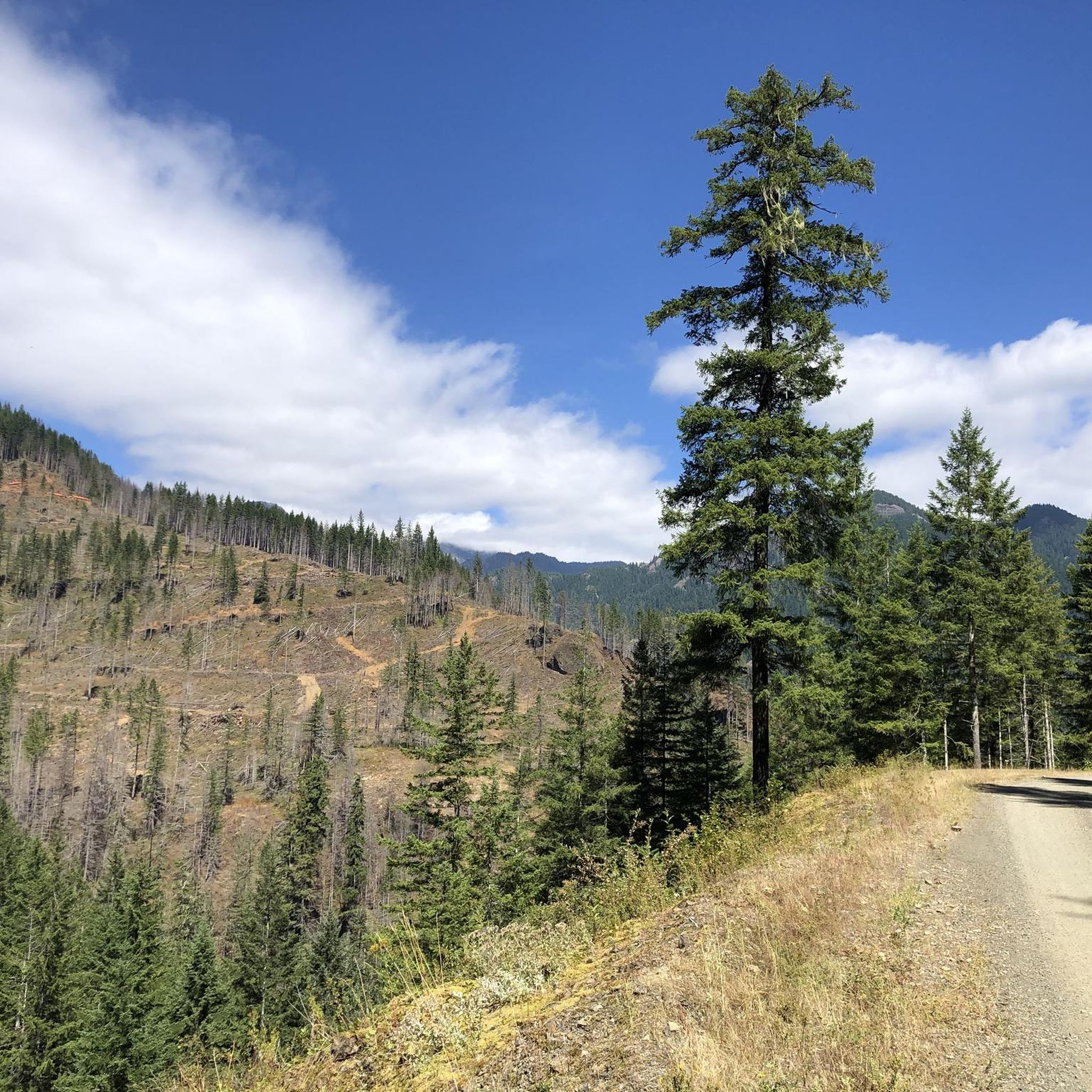
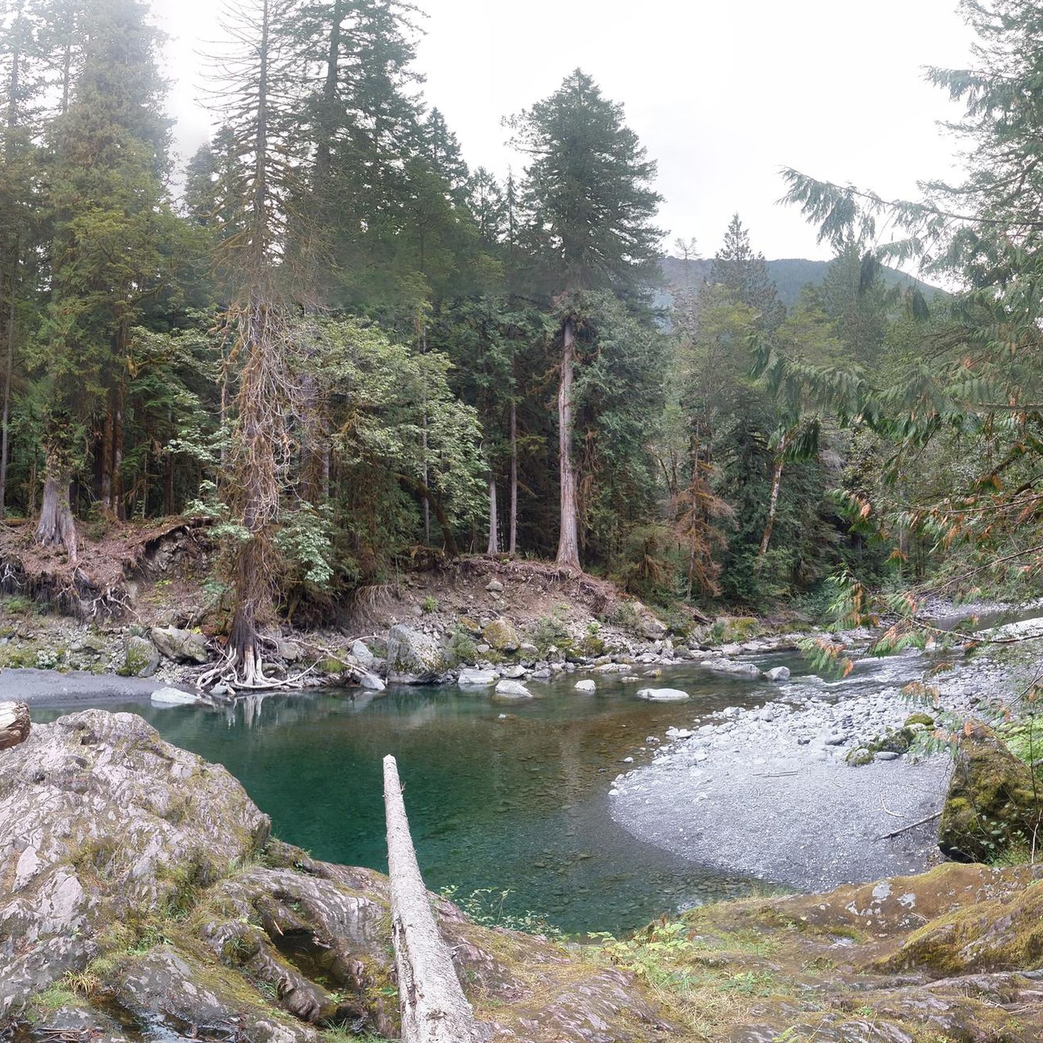
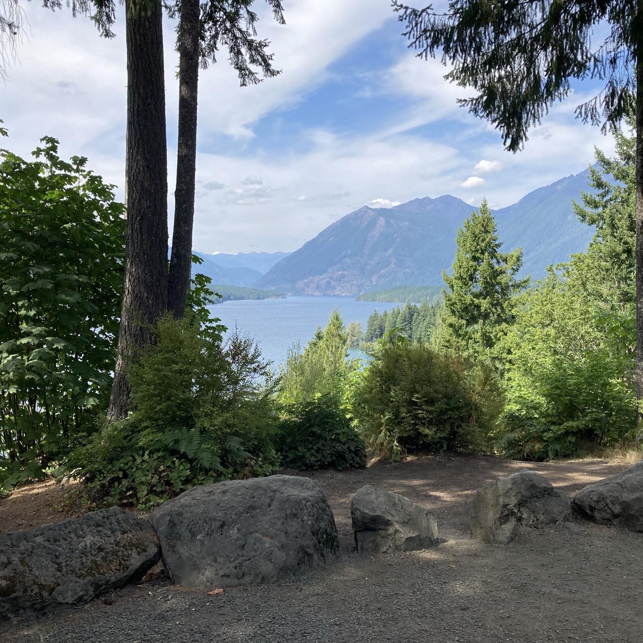
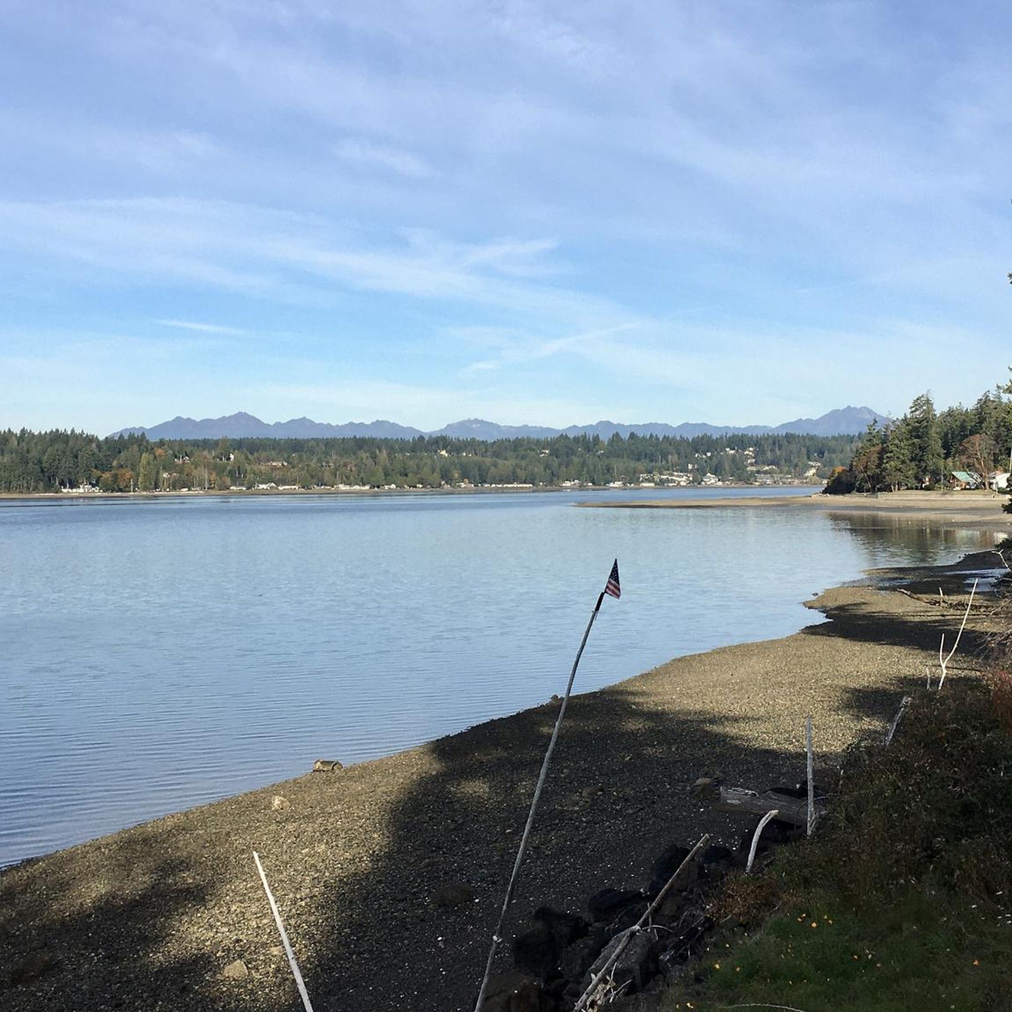

Tips from the Community

You'll have to hop off your bike here for a quick walk to an overlook of the dam itself, and the forest-clad lake it holds back. If you can lock your bike up, there's a walking trail that goes right over the dam.
0
0

Chehalis Western Trail is a 22-mile paved trail that offers a family-friendly ride. It was once the site of a railroad that transported logged trees from Vail to Woodard Bay.
0
0

This is actually two lakes connected by a non-navigable canal. Open year-round, it offers excellent fishing opportunities with a variety of largemouth bass, yellow perch, and brown bullhead catfish. It makes for a nice break to enjoy the serene waters.
0
0

Wynoochee Lake reveals a breathtaking scenery defined by steep, rugged peaks adorned with lush conifer forest that rise above a glistening crystal clear body of water. At this end of the lake there is a picnic area and dam which makes a nice short out and back route. And if you're feeling more adventurous, you can embark on the 12-16 mile loop that encircles the entire lake (distance may vary depending on the safety of the Wynoochee River ford)
2
0
The path here passes straight over Wynoochee Dam, constructed in 1972 for flood control and industrial water. It is surrounded by beautiful nature including towering trees, incredible waterfalls, rivers, a lake and a network of great hiking trails.
1
0
This is actually two lakes connected by a non-navigable canal. Open year-round, it offers excellent fishing opportunities with a variety of largemouth bass, yellow perch, and brown bullhead catfish. It makes for a nice break to enjoy the serene waters.
0
0

The trailhead is right next to parking area. The Skokomish Lower South Fork Trail winds through ancient old-growth forests alongside the South Fork Skokomish River. This versatile trail is suitable for mountain biking, horseback riding, and offers opportunities for fishing in the nearby river. Along the way, you will see the historic LeBar Claim, Church Creek Shelter, and Harps Shelter.
0
0
As you traverse this area, you'll cross directly over the Wynoochee Dam. Owned by the city of Aberdeen and constructed in 1972, this dam plays a crucial role in controlling the flow of the Wynoochee River, ultimately forming the impressive Wynoochee Reservoir.
0
0
Frequently Asked Questions
How many touring cycling routes are available in Mason County?
Mason County offers a diverse selection of over 15 touring cycling routes. These routes cater to various skill levels, with options ranging from easy, mostly paved rides to more challenging paths with significant elevation gains.
What are the general difficulty levels of touring cycling routes in Mason County?
The routes in Mason County are varied in difficulty. You'll find 4 easy routes, 6 moderate routes, and 5 difficult routes, ensuring there's something for every touring cyclist, from beginners to experienced riders seeking a challenge.
Are there challenging touring cycling routes with significant elevation gains in Mason County?
Yes, for cyclists looking for a challenge, Mason County offers routes with considerable climbs. For example, the Dennie Ahl Hill loop from Camp Govey is a difficult 39.7-mile path featuring over 1200 meters of elevation gain through rolling hills and forested terrain.
Can I find easy, scenic touring cycling routes in Mason County?
Absolutely. Mason County has several easy routes perfect for a relaxed ride. The Chehalis Western Trail – Chambers Lake loop from Woodard Bay Natural Resources Conservation Area is an easy 17.5-mile trail offering scenic views and opportunities to observe local wildlife with minimal elevation changes.
Are there any gravel or unpaved sections on touring cycling routes in Mason County?
While many routes are well-paved, some areas, particularly around lakes and through forested regions in Mason County, Washington, may include unpaved segments. Cyclists can also find dedicated gravel routes, such as those near the Mason Lake power lines, offering a different kind of touring experience.
What natural features or landmarks can I see along touring cycling routes in Mason County?
Mason County's routes often pass by beautiful natural features. You can explore areas like the Kennedy Creek Salmon Trail, enjoy views of Mason Lake, or cycle near the Olympic Peninsula. The region is known for its scenic waterside routes, dense woodlands, and opportunities to spot wildlife like deer, eagles, and coyotes.
Are there any family-friendly touring cycling routes in Mason County?
Many of the easier, mostly paved routes are suitable for families. The Bike loop from Mason Lake County Park, for instance, is an 11.8-mile easy trail around Mason Lake, offering a pleasant ride for all ages. Ludington State Park in Mason County, Michigan, also features mostly paved loops suitable for all skill levels.
What do other touring cyclists enjoy the most about touring cycling in Mason County?
The komoot community highly rates touring cycling in Mason County, with an average score of 4.9 stars. Reviewers often praise the region's diverse landscapes, from scenic waterside routes and serene lakes to challenging forested paths, as well as the opportunities to encounter local wildlife.
Are there circular touring cycling routes available in Mason County?
Yes, many touring cycling routes in Mason County are designed as loops, providing convenient starting and ending points. Examples include the Chehalis Western Trail – Chambers Lake loop and the Wynoochee Lake – Wynoochee Dam loop, allowing you to experience varied scenery without retracing your path.
What is the best time of year for touring cycling in Mason County?
Mason County offers enjoyable cycling experiences across different seasons. Spring and fall often provide pleasant temperatures and vibrant scenery. However, the specific characteristics of Mason County in Washington, Michigan, Illinois, and Kentucky mean that conditions can vary, so checking local weather forecasts is always recommended.
Are there any long-distance touring cycling routes in Mason County?
For those seeking longer rides, Mason County does offer extended routes. The Sisters Restaurant loop from Belfair is a challenging 69.2-mile route, providing a substantial distance for experienced touring cyclists.
Can I find places to explore nature and wildlife in Mason County, Illinois?
In Mason County, Illinois, the Chautauqua National Wildlife Refuge in Havana offers beautiful wetlands and woods, making it a haven for birdwatchers and wildlife enthusiasts. Additionally, Sand Ridge State Forest provides trails through native oak-hickory woodland and sand prairies, ideal for exploring the region's natural beauty.
Most popular routes in Mason County
Most popular attractions in Mason County

Get inspired with the komoot mobile app


Explore more
Browse the best Cycling routes in other regions.
