The best walks and hikes in Bristol County
5.0
(3)
140
hikers
33
hikes
Hiking in Bristol County, Massachusetts, offers diverse natural landscapes, including coastal areas, lush forests, and serene riverfronts. The region features varied terrain, from extensive woodlands in areas like Taunton State Forest to picturesque riverfronts along the Taunton River. Hikers can explore sandy paths with ocean views at locations such as Horseneck Beach State Reservation. This ecological diversity supports a wide range of hiking experiences for different skill levels.
Best hiking trails in Bristol County
- The most popular hiking route is Roger Williams Park loop, a 4.3 miles (6.9 km) trail that takes 1 hour 46 minutes to complete. This easy route offers scenic paths within a well-maintained park setting.
- Another top favourite among local hikers is Rocky Point Walking Trail, an easy 1.8 miles (2.9 km) path. This trail provides coastal views.
- Local hikers also love the Hiking loop from East Providence, a 5.1 miles (8.2 km) trail leading through varied landscapes, often completed in about 2 hours 5 minutes.
- Hiking in Bristol County is defined by forests, riverfronts, and coastal paths. The network offers options for different ability levels, from easy walks to moderate treks.
- The routes in Bristol County are highly rated by the komoot community with an average score of 5.0 stars from 5 reviews. More than 130 hikers have used komoot to explore Bristol County's varied terrain.
Last updated: June 24, 2026
5
hikers
10.3km
02:40
50m
50m
Embark on the Colt State Park Loop, a moderate hike spanning 6.4 miles (10.3 km) with a gentle elevation gain of 164 feet (50 metres). You can expect to complete this route in about 2 hours and 39 minutes. As you hike, you'll enjoy sweeping panoramic views of Narragansett Bay, a constant companion along the western edge of the park. The path winds through open fields, past historic stone walls, and into some wooded sections, offering a varied landscape. Look for lush grassy areas and fruit orchards, especially when wildflowers are in bloom, all while enjoying the refreshing salty breeze from the coast.
Planning your visit to Colt State Park is straightforward, as the park is well-known for its accessibility and well-maintained paths. You will generally find ample parking available within the park itself. This makes it easy to start your hike without hassle. The route also connects directly with the East Bay Bike Path, giving you options for longer adventures if you wish to extend your day. Consider visiting during different seasons to experience the changing flora and coastal atmosphere.
Colt State Park is often referred to as the "Gem" of the State Parks System, a testament to its natural beauty and recreational value. Beyond the scenic views, keep an eye out for local wildlife such as painted turtles and deer that inhabit the area. The park's blend of coastal scenery, open spaces, and historical elements makes it a distinctive destination for a pleasant outdoor excursion.
3
hikers
3.92km
01:00
10m
20m
The Mount Hope Farm Trail offers a truly unique blend of coastal beauty and pastoral charm, making it an easy 2.4-mile (3.9 km) hike that's perfect for a relaxing outing. With minimal 47 feet (14 metres) of elevation gain, you can comfortably complete this route in about 1 hour, enjoying diverse terrain that shifts from paved paths to dirt trails through woodlands and open fields. You'll be treated to picturesque views of Mount Hope Bay and might even spot farm animals in the barnyard, creating a serene and engaging experience for all ages and skill levels.
Planning your visit to Mount Hope Farm is straightforward, as the grounds are open to the public for walking and jogging, and dogs are welcome on leash. While there are no permits needed, you can take advantage of the year-round farmers market and a free, GPS-activated walking tour app to enrich your experience. The trail is accessible, with some sections suitable for wheelchairs and strollers, making it an inclusive option for a pleasant day out.
This trail is particularly notable for its rich historical significance, being listed on the National Register of Historic Places and recognized as the ancestral home of the Pokanoket Nation. You can explore landmarks like the Governor Bradford House, built in 1745, and the rustic Cove Cabin by the bay, all while enjoying the unique combination of preserved agricultural land and direct access to Mount Hope Bay. It's a place where natural beauty, history, and accessibility converge.

Sign up for free
2
hikers
1.84km
00:28
0m
0m
The Touisset Marsh Loop offers a delightful, easy stroll through a diverse coastal landscape within the Touisset Marsh Wildlife Refuge. You'll meander through quiet hardwood forests, open fields that come alive with flowers and butterflies, and along picturesque salt marsh overlooks. The trail provides stunning views of the Kickemuit River, where you might even spot harbor seals, making it a perfect escape for nature lovers and birdwatchers.
Planning your visit to the Touisset Marsh Loop is straightforward, as parking is available at the trailhead. This easy 1.1-mile (1.8 km) hike, with only 10 feet (3 metres) of elevation gain, takes about 27 minutes, making it accessible for all. Be aware that dogs are not allowed on the trail, except for service animals, and biking is prohibited. The trail can be enjoyed year-round, even for snowshoeing in winter, but wear appropriate footwear as conditions can be wet and muddy.
This tranquil loop is a true hidden gem in Warren, Rhode Island, offering a peaceful experience away from crowds. Beyond the natural beauty, you'll find a unique art installation called "Five Ecological Piers" along the route, adding an unexpected cultural touch to your outdoor adventure. The refuge is also a haven for wildlife, with opportunities to spot red foxes, deer, and a variety of birds, making it a rewarding destination for wildlife enthusiasts.
11.0km
02:49
40m
40m
The East Bay Bike Path offers a delightful journey along Rhode Island's historic New England waterfronts, connecting urban areas with charming small towns. As you hike this paved rail trail, you'll encounter a diverse mix of scenery, from the open vistas of Narragansett Bay and the Providence River to tranquil saltwater marshes and shaded forest canopies. It's a chance to spot abundant coastal wildlife, including various bird species, making it a popular route for nature lovers and those seeking picturesque viewpoints.
This accessible multi-use path is largely considered easy to moderate for hiking, covering 6.8 miles (11.0 km) with a minimal 128 feet (39 metres) of elevation gain, typically taking around 2 hours and 48 minutes. You'll find it suitable for families and beginners, with amenities available in the towns it passes through. While mostly flat, be prepared for occasional slight inclines and potential headwinds in exposed waterfront sections.
As Rhode Island's first multi-town bike path, the East Bay Bike Path boasts a rich rail-trail heritage, built on a former railroad line dating back to 1855. It's also a segment of the much larger East Coast Greenway, offering a unique blend of natural beauty and historical context. Look out for landmarks like the Pomham Rocks Lighthouse and the historic shipbuilding town of Warren as you explore this well-loved route.
1.20km
00:19
10m
10m
The Claire D. McIntosh Wildlife Refuge Trail offers a delightful and highly accessible nature experience, weaving through diverse habitats on a mix of crushed stone paths and extensive wooden boardwalks. You'll journey through fields, woods, and both freshwater and saltwater marshes, culminating in stunning views across Narragansett Bay. Keep an eye out for local birdlife like Osprey and Green Heron, especially from the long boardwalk that extends into the marsh.
This easy 0.7-mile (1.2 km) hike involves a minimal 36 feet (11 metres) of elevation gain, taking roughly 19 minutes to complete. It's an ADA-certified accessible route, making it ideal for families, strollers, and wheelchairs, with smooth, level terrain throughout. Parking is available at the Audubon Society of Rhode Island's Nature Center, which also provides an educational component to your visit.
What makes this trail particularly special is its integration with the Audubon Society's Nature Center and Aquarium, offering interactive exhibits. It's also conveniently located along the East Bay Bike Path, providing easy access for cyclists. Remember that dogs are not permitted on the refuge to protect the delicate ecosystem, ensuring a peaceful environment for wildlife spotting.
62.2km
15:52
210m
210m
The East Bay Bike Path offers a unique long-distance hiking experience, transforming from urban stretches to serene coastal vistas. As you follow this historic rail trail, you'll encounter diverse scenery, from dense forest canopies and residential areas to vital saltwater marshes, all while enjoying views of Narragansett Bay and the Providence River. Keep an eye out for the charming Pomham Rocks Lighthouse, a highlight along the route, and enjoy the journey through varied ecosystems.
Planning for this difficult 38.6-mile (62.2 km) hike, which involves 693 feet (211 metres) of elevation gain and an estimated 15 hours and 52 minutes of walking, is crucial. The path connects Providence to Bristol, offering numerous access points, but consider an early start to secure parking, especially if you plan to tackle a significant section. While largely flat, a notable steep incline near East Providence adds a brief challenge, so be prepared for varied terrain.
This trail holds significant historical value as Rhode Island's first multi-town bike path and is a proud inductee into the Rail-Trail Hall of Fame. It's also an integral part of the East Coast Greenway, providing a continuous route for those looking to explore the region. Beyond its natural beauty, the path offers glimpses into the past with old railroad stations and access to the historic Crescent Park Looff Carousel, making it a journey through both nature and history.
819m
00:13
10m
0m
Step onto the Arrowhead and Shadbush Trail Loop for a delightful, easy walk through the serene woodland and open spaces of the Osamequin Nature Trails and Bird Sanctuary. This short route, just 0.5 miles (0.8 km) with a gentle 16 feet (5 metres) of elevation gain, offers a peaceful escape. You'll find well-maintained paths winding through natural surroundings, perfect for a quick refresh. Expect pleasant scenery, with spring bringing wildflowers and active birdlife, and autumn showcasing beautiful foliage.
Planning your visit to this easy 12-minute loop is simple, as it's accessible year-round. The trail is ideal for those seeking a casual stroll rather than a strenuous hike. As part of a nature and bird sanctuary, it's designed for easy access and a welcoming experience for all visitors, making it a great option for a spontaneous outdoor moment.
The Arrowhead and Shadbush Trail Loop stands out for its accessibility and suitability for beginners, families with young children, or anyone desiring a gentle outdoor experience. It's a fantastic way to enjoy nature and spot local birdlife without committing to a long or challenging trek. This trail offers a high-reward, low-effort opportunity to connect with the natural world within the sanctuary.
14
hikers
2.85km
00:44
20m
20m
The Rocky Point Walking Trail offers a unique blend of coastal scenery and historical intrigue, making it a standout easy hike in Rhode Island. As you follow the mostly paved path, you'll be treated to sweeping views of Narragansett Bay, with glimpses of the Mount Hope, Jamestown, and Newport bridges. The trail meanders through open grounds and along the shoreline, leading to a popular wooden pier that juts into the bay, providing excellent viewpoints.
This 1.8-mile (2.9 km) loop is rated easy, with a minimal 53 feet (16 metres) of elevation gain, and takes about 44 minutes to complete. It's a fantastic option for families, beginners, or anyone looking for a relaxed outing. The trail is located within Rocky Point State Park, which offers convenient parking, and spring and fall are particularly pleasant times to visit for comfortable temperatures and vibrant scenery.
What truly sets this trail apart is its connection to the past; the park was once home to the famous Rocky Point Amusement Park. Informational boards along the route explain the history of remaining structures, including an iconic arched entrance gate and a rusted industrial structure, allowing you to walk through a landscape rich with memories and new natural beauty.
17
hikers
4.18km
01:05
20m
20m
Easy hike. Great for any fitness level. Easily-accessible paths. Suitable for all skill levels.
10
hikers
3.34km
00:53
30m
30m
Easy hike. Great for any fitness level. Easily-accessible paths. Suitable for all skill levels.
Get access to more routes and recommendations from other explorers.
Sign up for free
Already have an account?
Our route recommendations are based on thousands of hikes, rides, and runs completed by other people on komoot.
Start today with a free account
Your next adventure awaits.
Login or Signup





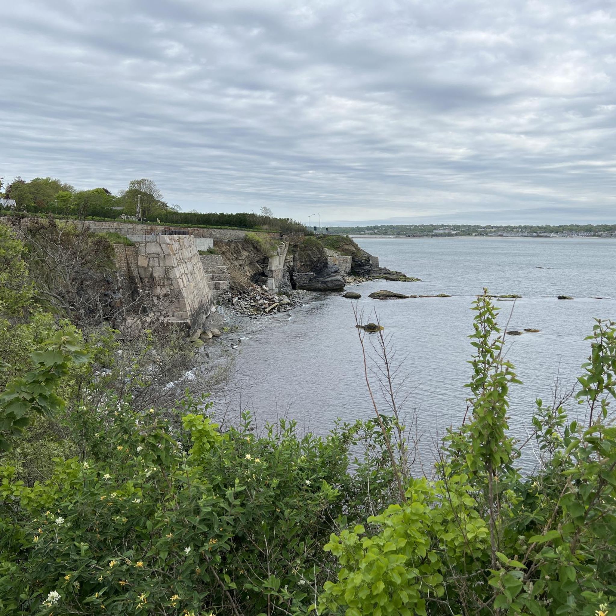
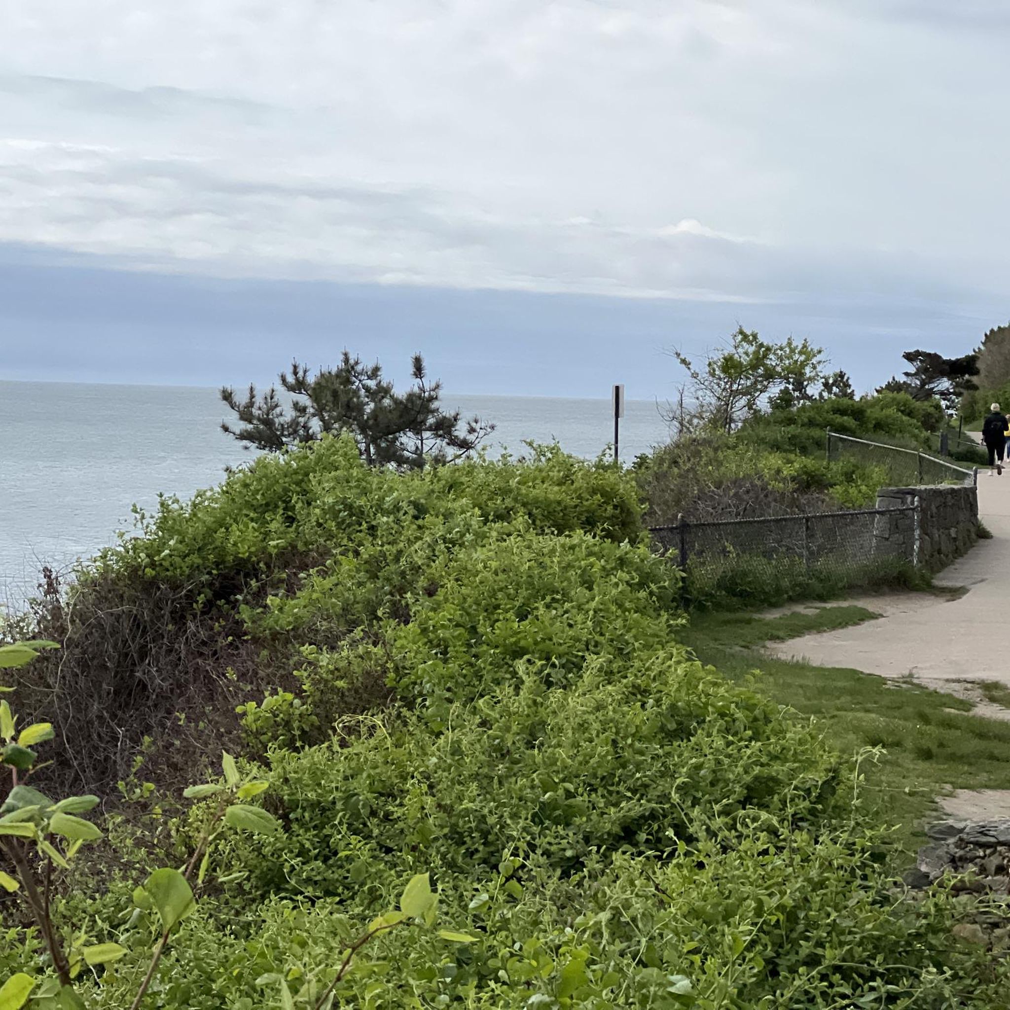
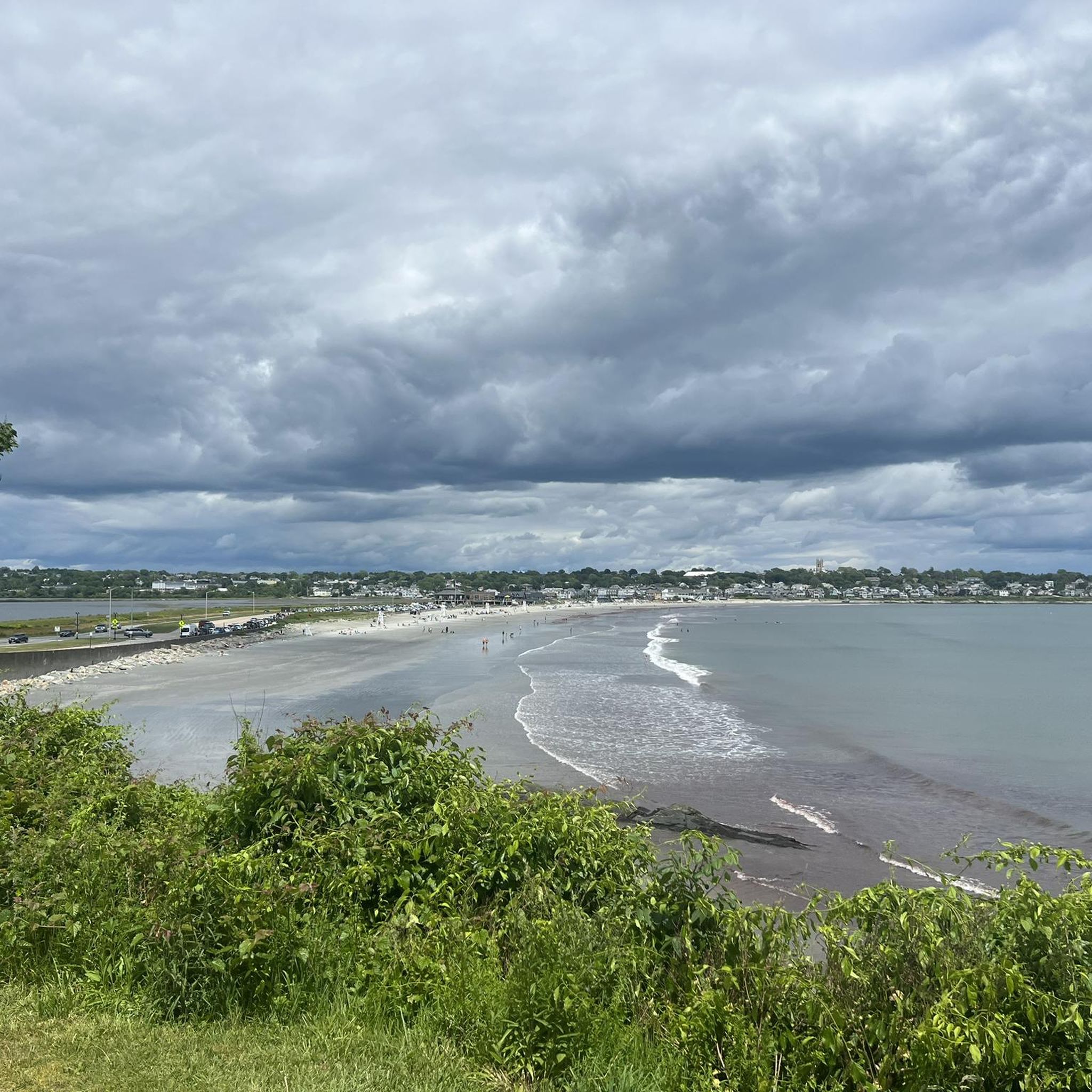
Tips from the Community

What is this life full of care if we don't take time to sit and stare? This is a great place to take a break and enjoy a frozen lemonade.
0
0
A nice scenic spot along the Providence River
0
0

This is a popular sandy beach and recreation area that also has a number of sports facilities on offer. You have a picturesque view of Narragansett Bay from here, and it is a good place to get your classic sunset photos. There are also restrooms available.
1
0
This bridge takes the East Bay Bike Path over the Palmer River, giving you a nice view back upstream, and it runs adjacent to the Warren Bridge. It connects Tyler Point with the town of Warren.
1
0

Encompassing 120 acres just outside the city, Rocky Point State Park serves as a popular coastal park in Rhode Island. The main path forming a loop around the property is entirely paved and offers access to the popular wooden pier jutting out of the shore and a few short dirt trails. The path is open to lots of different trail users, so be prepared to encounter others while out on the trail.
0
0
The pier at Rocky Point State Park offers awesome views of the bay. The long wooden walk out to the main viewpoint is lined with a fence and a handrail, and you'll likely see more people here than any other spot on the trails.
0
0
The pier at Rocky Point State Park offers awesome views of the bay. The long wooden walk out to the main viewpoint is lined with a fence and a handrail, and you'll likely see more people here than any other spot on the trails.
0
0
Frequently Asked Questions
How many hiking trails are available in Bristol County, Massachusetts?
Bristol County offers a variety of hiking experiences, with over 15 routes documented on komoot. These range from easy strolls to more moderate treks, catering to different skill levels.
What types of landscapes can I expect to see while hiking in Bristol County?
Hikers in Bristol County can explore diverse natural landscapes, including lush forests, serene riverfronts, and coastal areas. You'll find trails winding through woodlands, alongside peaceful streams, and offering ocean views, such as those near Horseneck Beach State Reservation.
Are there any easy, family-friendly hiking routes in Bristol County?
Yes, Bristol County has many easy trails suitable for families. For instance, the Warwick Bicycle Path loop — Warwick City Park is an easy 4.8 km path, and the Fall River Heritage State Park — Fall River route is a short 1.5 km walk, both great for a relaxed outing.
Can I bring my dog on the hiking trails in Bristol County?
Many trails in Bristol County are dog-friendly, allowing you to enjoy the outdoors with your canine companion. Always check specific park regulations before heading out, but generally, the region welcomes leashed dogs on its paths.
Are there any circular hiking routes in Bristol County?
Yes, several circular routes are available. The Hiking loop from Highland Woods is an easy 3.3 km circular trail, and the James V. Turner Reservoir loop from Rumford offers a 5.1 km easy loop around the reservoir.
What are some notable natural features or landmarks to look out for on hikes in Bristol County?
Bristol County offers several points of interest. You can explore areas like Taunton State Forest and Freetown-Fall River State Forest for their woodlands. Dighton Rock State Park features a picturesque riverfront along the Taunton River and the historic Dighton Rock. Nearby, Colt State Park in Rhode Island offers panoramic views of Narragansett Bay.
What is the best time of year to go hiking in Bristol County?
Bristol County offers enjoyable hiking experiences throughout the year. Spring brings wildflowers, summer is great for coastal paths, autumn showcases vibrant foliage in the forests, and winter can offer peaceful, snow-dusted trails. The best time depends on your preferred scenery and weather conditions.
Are there any trails that offer views of water or coastal scenery?
Absolutely. Horseneck Beach State Reservation provides sandy paths with panoramic ocean views. Dighton Rock State Park offers trails along the Taunton River, and the Rocky Point Path loop — Rocky Point State Park is known for its coastal vistas.
What do other hikers say about the trails in Bristol County?
The hiking routes in Bristol County are highly rated by the komoot community, with an average score of 5.0 stars. Hikers often praise the varied terrain, from peaceful woodlands to scenic coastal paths, and the accessibility of trails for different abilities.
Are there any longer hiking options for more experienced hikers?
While many trails are easy, there are options for longer walks. The Hiking loop from East Providence is a moderate 8.2 km trail that takes about 2 hours 5 minutes to complete, offering a more extended experience through varied landscapes.
Are there any trails near lakes or reservoirs in Bristol County?
Yes, you can find trails near water bodies. The James V. Turner Reservoir loop from Rumford offers a pleasant walk around a reservoir. Additionally, Borderland State Park, though not directly in Bristol County, is a regional highlight known for its picturesque lakeside walks.
What kind of wildlife can I expect to see while hiking in Bristol County?
Bristol County's diverse habitats, including forests and coastal areas, support various wildlife. Hikers might spot a range of bird species, small mammals, and local flora. Areas like Allens Pond Wildlife Sanctuary (though not directly in Bristol County, it's a regional highlight) are particularly known for birdwatching.
Most popular routes in Bristol County
Most popular attractions in Bristol County

Get inspired with the komoot mobile app


Didn’t find what you were looking for?
Check out more Hikes throughout Bristol County below and find the perfect route in your destination.
Explore more
Browse the best Hikes in other regions.
