The best road cycling routes around Bjørheimsvatnet
4.4
(7)
237
riders
11
rides
Road cycling around Bjørheimsvatnet offers diverse terrain characterized by hilly landscapes and steep, narrow valleys within the Ryfylke area of Rogaland, Norway. The region features asphalted roads with low traffic, providing a pleasant cycling experience. Routes often include scenic views of Bjørheimsvatnet, an inland lake, and the surrounding dramatic fjords and mountains. This area is recognized for its challenging climbs and dynamic rides.
Best road cycling routes around Bjørheimsvatnet
- The most popular road cycling route is Snigleskaret – Tysdalsvatnet Lake loop from Bjørheimsbygda, a 63.4 miles (102.1 km) trail that takes 5 hours 16 minutes to complete. This difficult route takes cyclists through varied terrain including lake views and challenging climbs.
- Another top favourite among local road cyclists is Roadbike loop from Tau, a difficult 46.5 miles (74.8 km) path. This route offers a dynamic ride with significant elevation gain and scenic vistas.
- Local road cyclists also love the Bleiåna loop from Solbakk, a 56.7 miles (91.3 km) trail leading through the hilly landscape of the Ryfylke area, often completed in about 4 hours 51 minutes.
- Road cycling around Bjørheimsvatnet is defined by hilly terrain, steep valleys, and dramatic fjords and mountains. The network offers options for both moderate and difficult ability levels.
- The routes in Bjørheimsvatnet are highly rated by the komoot community with an average score of 4.7 stars from more than 5 reviews. More than 200 road cyclists have used komoot to explore Bjørheimsvatnet's varied terrain.
Last updated: July 12, 2026
4.5
(2)
27
riders
101km
05:14
1,560m
1,560m
Hard road ride. Very good fitness required. Some segments of this route may be unpaved and difficult to ride.
26
riders
76.1km
03:44
1,040m
1,040m
Hard road ride. Very good fitness required. Some segments of this route may be unpaved and difficult to ride.

Sign up for free
6
riders
92.4km
04:59
1,550m
1,560m
Hard road ride. Very good fitness required. Some segments of this route may be unpaved and difficult to ride.
11
riders
67.7km
03:12
720m
720m
Moderate road ride. Good fitness required. Some segments of this route may be unpaved and difficult to ride.
62
riders
41.8km
02:09
670m
670m
Moderate road ride. Good fitness required. Mostly well-paved surfaces and easy to ride.
Get access to more routes and recommendations from other explorers.
Sign up for free
Already have an account?
Our route recommendations are based on thousands of hikes, rides, and runs completed by other people on komoot.
Start today with a free account
Your next adventure awaits.
Login or Signup
Tips from the Community

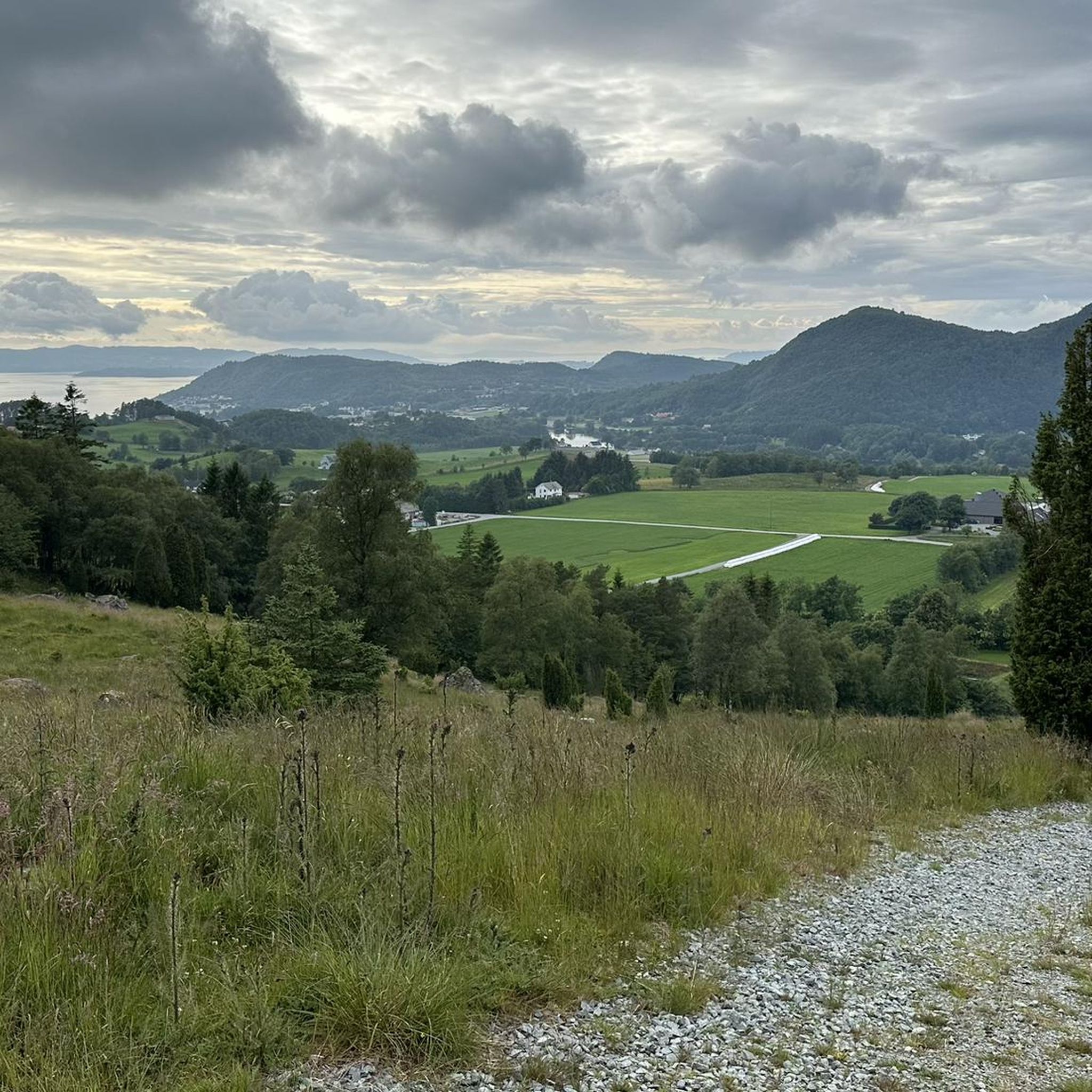
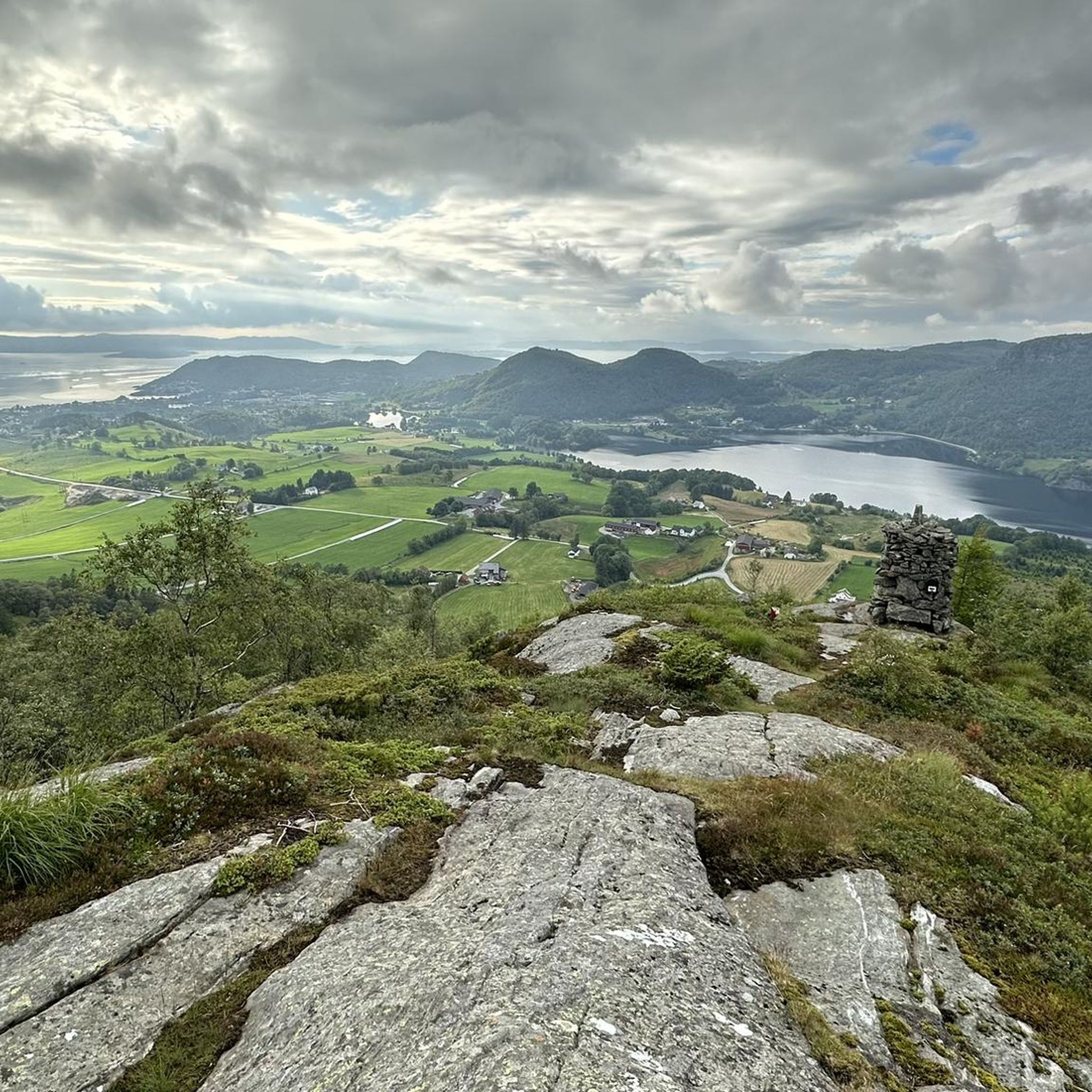
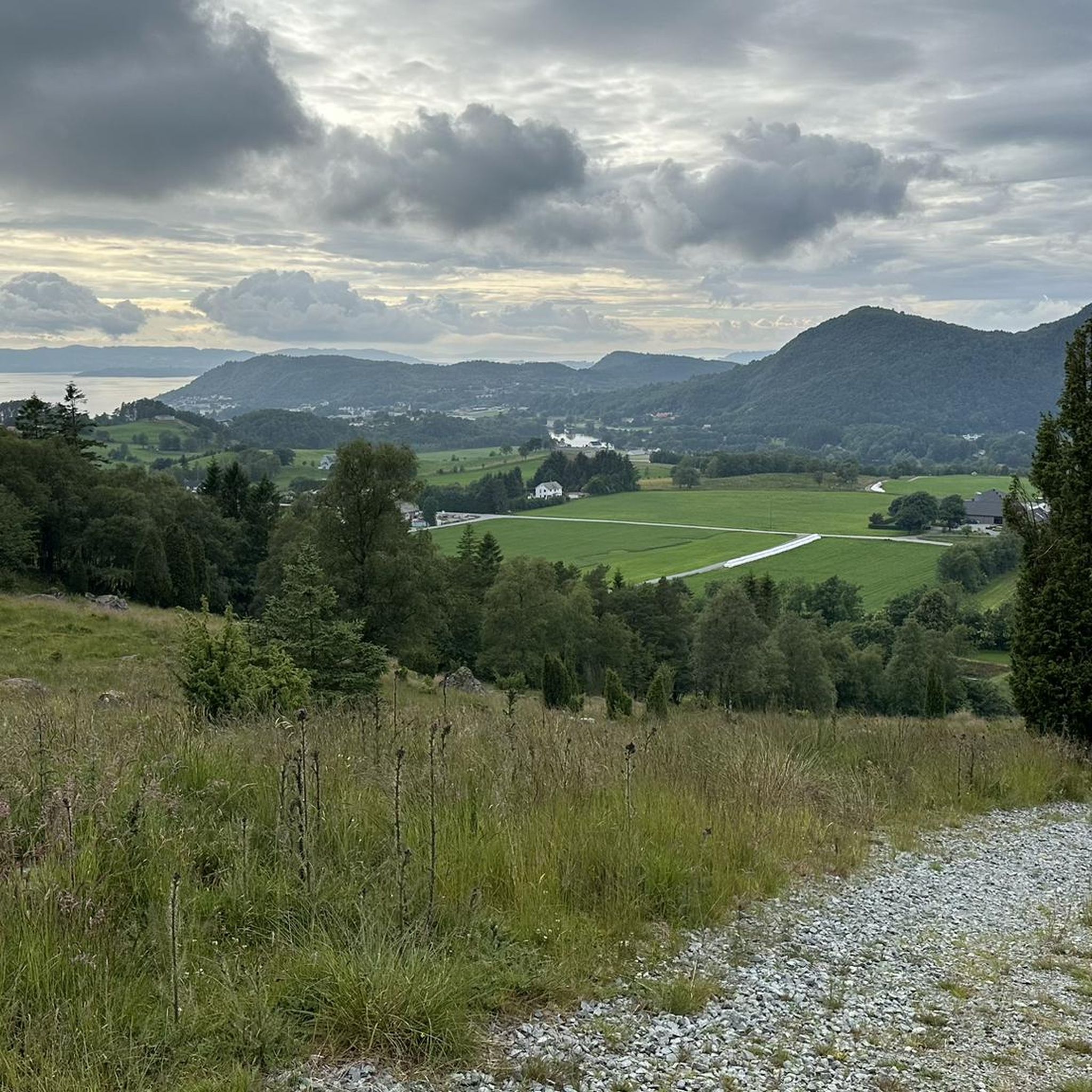
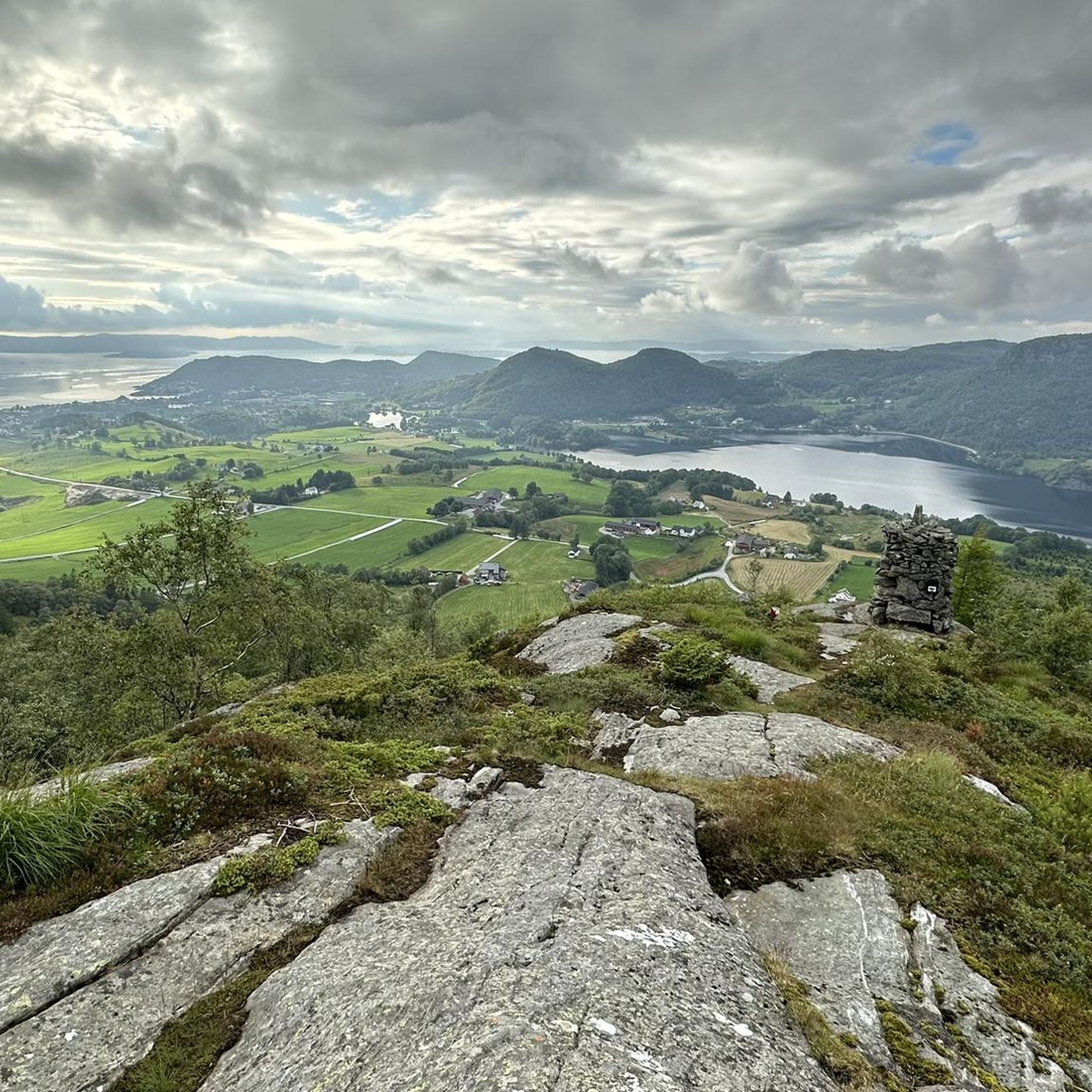
This spot offers an amazing viewpoint on the fjord, with a nice green foreground and mountains on the background.
0
0
There are places that naturally invite you to take a break, and this is the case with this superb, 100% natural picnic area with its tables and benches carved directly from the stone. All this with a superb view.
0
0


Beautiful & quiet road (cars drive a different route) through the Tysdal
0
0


Here you have a sensational view over the Lysefjord to the Pulpit Rock in the distance.
1
0

beautiful route along the fjord with a view of the pulpit at the end
1
0

The viewpoint in Høllesli is located between the Oanes ferry terminal and the bridge to Forsand, and has a powerful view of the Lysefjord in Ryfylke. A path leads through a cut in the mountains to the imposing view of the Lysefjord. There are railings along the cliffs to ensure you get to the best viewpoints safely.
4
1
Frequently Asked Questions
What kind of terrain can I expect when road cycling around Bjørheimsvatnet?
The region around Bjørheimsvatnet is characterized by hilly terrain, featuring steep and narrow valleys. Roads are generally asphalted with low traffic, offering a dynamic and challenging experience for road cyclists. You'll encounter significant elevation changes, especially on routes like the Snigleskaret – Tysdalsvatnet Lake loop from Bjørheimsbygda, which has over 1500 meters of elevation gain.
Are there road cycling routes suitable for beginners or those seeking a moderate challenge?
While many routes in the Bjørheimsvatnet area are considered difficult, there are options for moderate ability levels. For instance, the Tysdalsvatnet Lake loop from Solbakk is a moderate 63.5 km route with around 700 meters of elevation gain, offering a scenic ride without the most extreme climbs.
What natural features and landmarks can I see along the road cycling routes?
Road cycling routes around Bjørheimsvatnet offer magnificent nature, including dramatic fjords and mountains. You'll enjoy picturesque views of Bjørheimsvatnet itself, an inland lake, and beautiful vistas of Årdal from various points. The larger Ryfylke region is known for its stunning landscapes. While cycling, you might also pass by historical sites like the Tau Waterfall and Historic Mills (Gamle Mølle).
What is the best time of year to go road cycling in Bjørheimsvatnet?
The best time for road cycling around Bjørheimsvatnet is typically during the warmer months when roads are clear of snow and ice. The general road quality in the Ryfylke area is excellent, but weather conditions can vary. Always check local forecasts, especially for routes in hilly or mountainous terrain, to ensure a safe and enjoyable ride.
Are there any family-friendly road cycling options around Bjørheimsvatnet?
While many routes in the area feature hilly terrain and significant elevation, making them more suitable for experienced cyclists, some sections or shorter loops might be more manageable for families. For a safer experience, consider routes that transition to older roads closed to vehicles, such as parts of the route along Tysdalsvatnet mentioned in the region's cycling appeal.
Where can I find parking for road cycling routes in the Bjørheimsvatnet area?
Specific parking information for individual routes is often available on their respective komoot tour pages. Generally, starting points for routes like the Snigleskaret – Tysdalsvatnet Lake loop from Bjørheimsbygda or the Roadbike loop from Tau are good places to look for parking facilities, often in or near the towns they originate from.
What do other road cyclists enjoy most about road cycling in Bjørheimsvatnet?
The area is highly rated by the komoot community, with an average score of 4.7 stars from more than 5 reviews. Reviewers often praise the challenging climbs, the dynamic nature of the rides, and the scenic views of the lake and surrounding dramatic fjords and mountains. The asphalted roads and low traffic also contribute to a pleasant cycling experience.
Are there any circular road cycling routes available?
Yes, many of the road cycling routes around Bjørheimsvatnet are designed as loops, allowing you to start and end in the same location. Examples include the Snigleskaret – Tysdalsvatnet Lake loop from Bjørheimsbygda, the Roadbike loop from Tau, and the Bleiåna loop from Solbakk, all offering comprehensive circular tours.
Can I access road cycling routes around Bjørheimsvatnet using public transport?
While specific public transport connections directly to all starting points might vary, towns like Tau and Solbakk, which serve as starting points for popular routes such as the Roadbike loop from Tau and the Bleiåna loop from Solbakk, are generally more accessible by public transport. It's advisable to check local bus or ferry schedules for connections to your chosen starting point.
Are there any cafes or accommodation options near the road cycling routes?
The Ryfylke region, encompassing Bjørheimsvatnet, offers various amenities. For accommodation, the Ryfylke Fjordhotell is an option that also provides activities. While specific cafes directly on every route might be sparse due to the rural nature, towns like Bjørheimsbygda, Tau, and Solbakk, which are common starting points, are likely to have facilities for refreshments and meals.
How many road cycling routes are available in the Bjørheimsvatnet area?
There are 11 road cycling routes documented on komoot for the Bjørheimsvatnet area. These routes cater to various difficulty levels, with 5 moderate and 6 difficult options, ensuring a diverse range of experiences for road cyclists.
What is the average duration for a road cycling tour in this region?
The duration of road cycling tours around Bjørheimsvatnet varies significantly depending on the route's length and difficulty. For example, the challenging Snigleskaret – Tysdalsvatnet Lake loop from Bjørheimsbygda typically takes around 5 hours and 16 minutes, while the Scenic viewpoint over the fjord – View of Lysefjord loop from Jørpeland, a moderate route, can be completed in about 2 hours and 9 minutes.

Get inspired with the komoot mobile app


Explore more
Browse the best Road cycling routes in other regions.
