The best road cycling routes around Oltedalsvatnet
5.0
(1)
113
riders
10
rides
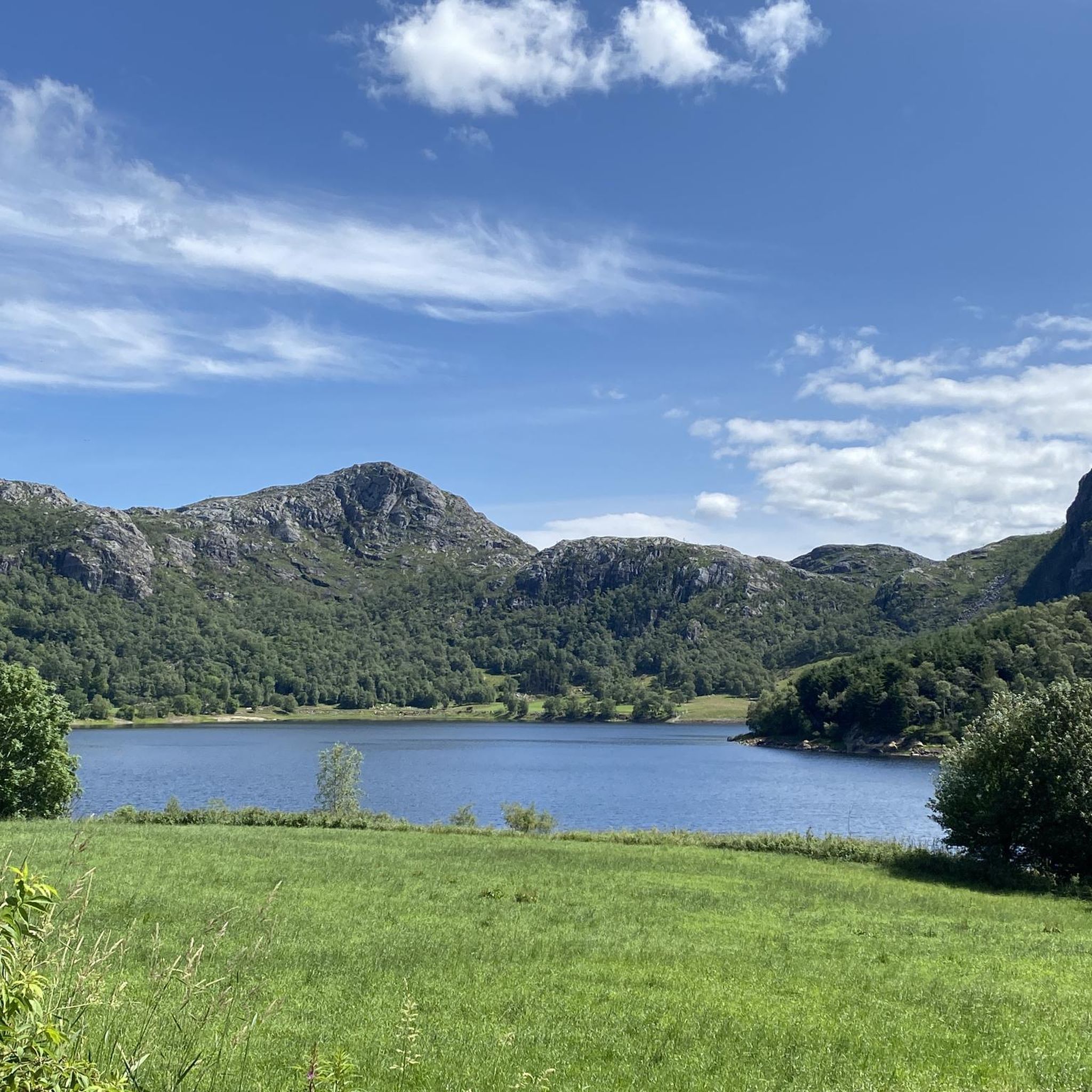
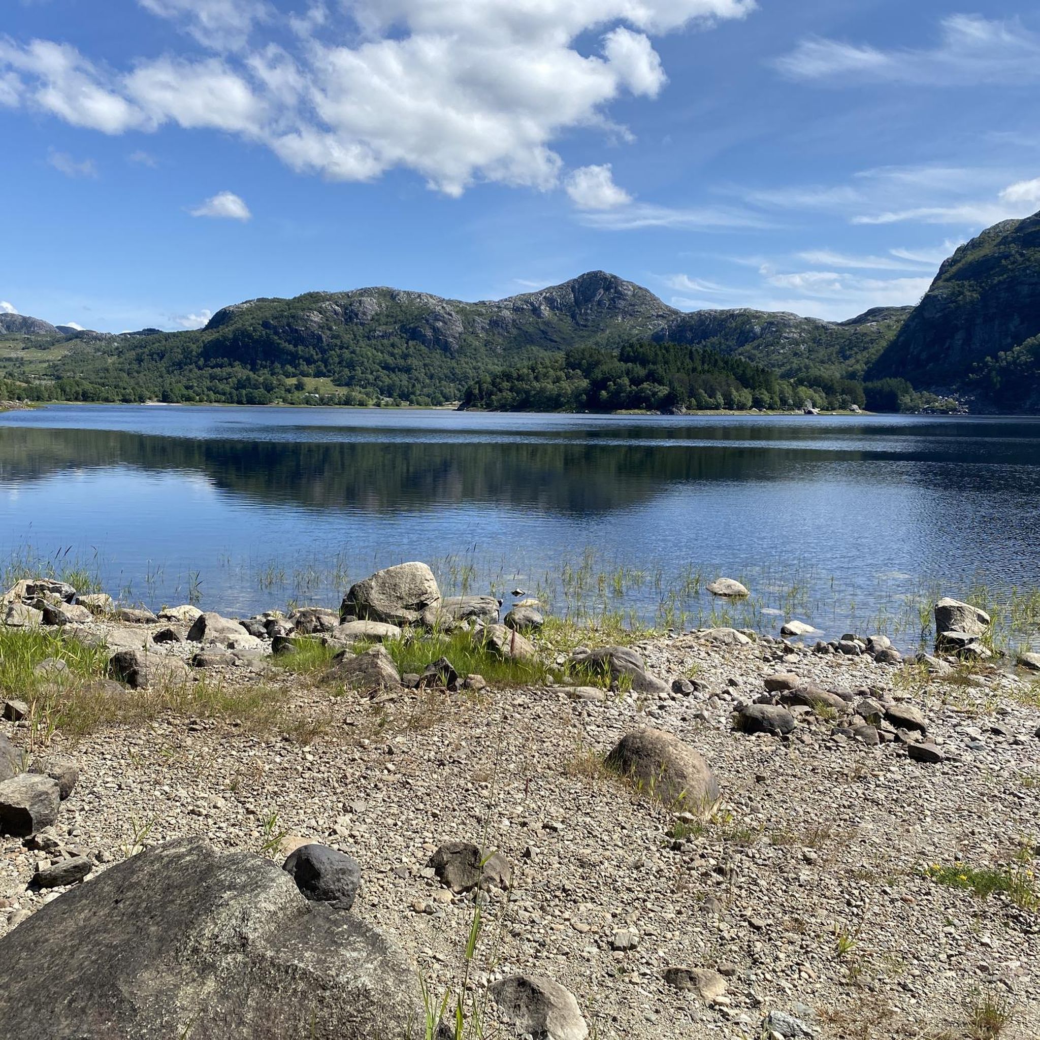
Road cycling routes around Oltedalsvatnet in Rogaland, Norway, navigate a region characterized by a picturesque lake and scenic surroundings. The terrain includes winding roads that offer views of the natural landscape. This area provides varied routes suitable for road cycling, often utilizing low-traffic roads. The region's natural beauty and diverse topography contribute to its appeal for cyclists.
Best road cycling routes around Oltedalsvatnet
- The most popular road cycling route is Lauvveien 2, Ålgård loop from Fiskebekk, a 20.9 miles…
Last updated: July 12, 2026
18
riders
35.3km
01:52
350m
350m
Moderate road ride. Good fitness required. Some segments of this route may be unpaved and difficult to ride.
10
riders
48.0km
02:16
480m
480m
Moderate road ride. Good fitness required. Some segments of this route may be unpaved and difficult to ride.

Sign up for free
7
riders
55.9km
02:35
640m
640m
Moderate road ride. Good fitness required. Mostly well-paved surfaces and easy to ride.
6
riders
80.3km
03:50
760m
760m
Moderate road ride. Good fitness required. Some segments of this route may be unpaved and difficult to ride.
4
riders
56.3km
02:30
490m
490m
Moderate road ride. Good fitness required. Mostly well-paved surfaces and easy to ride.
Get access to more routes and recommendations from other explorers.
Sign up for free
Already have an account?
Our route recommendations are based on thousands of hikes, rides, and runs completed by other people on komoot.
Start today with a free account
Your next adventure awaits.
Login or Signup
Popular around Oltedalsvatnet
Tips from the Community

From the bridges spanning the Figgjo River, you often have a beautiful view of the interesting river landscape. Carpets of water lilies, green reeds and many other aquatic plants provide plenty of variety.
0
0

Stokkelandsvatnet is a lake located in Ganddal, Sandnes. The loop the water shore is about 4 kilometers long on a flat, well-maintained gravel path, making it perfect for walking, running, or cycling. The area is known for its rich birdlife, often visible from the trail. It connects seamlessly to the end of Sandvedparken, allowing you to extend your route from the city center.
0
0
Planetstien turns your hike through Sandvedparken into a journey through the solar system. Stretching along the Storåna river, this 1:1 billion scale model starts with the Sun near Sandnes center and ends with Pluto towards Ganddal. It is a flat, easy gravel path suitable for cycling and walking. As you travel the green corridor, you pass sculptures representing each planet at their relative distances.
0
0

Ålgård is the largest town and administrative centre of Gjesdal municipality. Historically known for its wool and textile industry driven by the Figgjo River, it has evolved into a modern center that was once awarded Norway's prestigious National Prize for Architecture. Today, Ålgård is perhaps best known as the home of Kongeparken, the largest amusement park in Western Norway.
0
0
Here you will find a bench overlooking the river, ideal for a rest stop. At the edge of the terrace, you can see the fast-flowing waters of the Figgjo River, while all around, the trees are painted in the typical colors of the season; the paved path is comfortable for walking.
0
0

A busy little harbour with a few good coffee stop options nearby. A great place to start or end a ride around Sandnes.
0
0
A nice place to stop for a rest or a swim if the weather is nice. There is plenty of wildlife to spot and some refreshment options in the nearby town.
0
0

Nicely arranged with seating and restaurants in the area. Close to train station. Car free.
0
0
Frequently Asked Questions
What is the general difficulty level of road cycling routes around Oltedalsvatnet?
The road cycling routes around Oltedalsvatnet primarily offer moderate challenges, with 9 out of 10 routes falling into this category. There is also one route considered difficult, providing options for various skill levels.
Are there any circular road cycling routes in the Oltedalsvatnet area?
Yes, many of the routes around Oltedalsvatnet are designed as loops. For example, the popular Lauvveien 2, Ålgård loop from Fiskebekk offers a scenic circular ride, as does the Sandnes Harbor – Planetstien loop from Ålgård.
What kind of terrain can I expect on road cycling routes near Oltedalsvatnet?
The region around Oltedalsvatnet features winding roads that offer views of the natural landscape, including the picturesque lake itself. You can expect varied topography, with some routes featuring significant elevation gains, such as the View of Stavanger – Solastranden Beach loop from Ålgård which has over 800 meters of ascent.
What do other road cyclists enjoy most about the routes in Oltedalsvatnet?
The road cycling routes in Oltedalsvatnet are highly rated by the komoot community, with an average score of 5.0 stars. Cyclists often praise the scenic surroundings, the varied terrain, and the opportunity to explore the natural beauty of Rogaland on low-traffic roads.
Are there any particularly long road cycling routes for experienced riders?
For experienced riders seeking a longer challenge, the View of Stavanger – Solastranden Beach loop from Ålgård is a notable option. This route covers approximately 83.3 kilometers (51.8 miles) and involves over 800 meters of elevation gain, making it the longest and one of the more challenging options in the area.
What is the best time of year for road cycling around Oltedalsvatnet?
While specific seasonal data isn't provided, Norway's cycling season generally runs from late spring through early autumn (May to September) when the weather is milder and roads are clear of snow. This period offers the most favorable conditions to enjoy the panoramic views and varied routes.
Are there any family-friendly road cycling options near Oltedalsvatnet?
The routes around Oltedalsvatnet are predominantly moderate in difficulty. While there are no routes specifically categorized as 'easy' in the guide data, families with older children or those comfortable with moderate distances and some elevation might enjoy sections of the less strenuous routes, such as the Lauvveien 2, Ålgård loop from Fiskebekk.
Can I find places to eat or stay near the road cycling routes in Oltedalsvatnet?
The Oltedalsvatnet region, including nearby towns like Ålgård and Oltedal, offers local amenities. While specific cafes or accommodations aren't listed in the route details, these areas typically provide options for refreshments and lodging, catering to visitors exploring the outdoors.
What kind of views can I expect while road cycling in this region?
Road cycling around Oltedalsvatnet offers scenic views of the picturesque lake and the surrounding natural landscape. Routes like the View of the Figgjo River – Mærliskaret loop from Ålgård lead through particularly scenic sections, allowing cyclists to experience the diverse topography of Rogaland.
Are there any routes that offer views towards larger towns or coastal areas?
Yes, some routes extend beyond the immediate lake area to offer broader vistas. For instance, the Sandnes Harbor – Planetstien loop from Ålgård provides views towards Sandnes, while the View of Stavanger – Solastranden Beach loop from Ålgård offers expansive views towards Stavanger and includes coastal sections near Solastranden Beach.
How many road cycling routes are featured in this guide for Oltedalsvatnet?
This guide features 10 distinct road cycling routes around Oltedalsvatnet, offering a variety of distances and elevation profiles for cyclists to explore.
What is a good route for a moderate road cycling experience around Oltedalsvatnet?
A great option for a moderate road cycling experience is the Sandnes Harbour – Chapeau Sandnes loop from Fiskebekk. This route covers approximately 76.2 kilometers (47.3 miles) with over 600 meters of elevation gain, providing a substantial yet manageable ride.

Get inspired with the komoot mobile app


Explore more
Browse the best Road cycling routes in other regions.
