The best walks and hikes around Madlandsvatnet
4.6
(69)
481
hikers
13
hikes
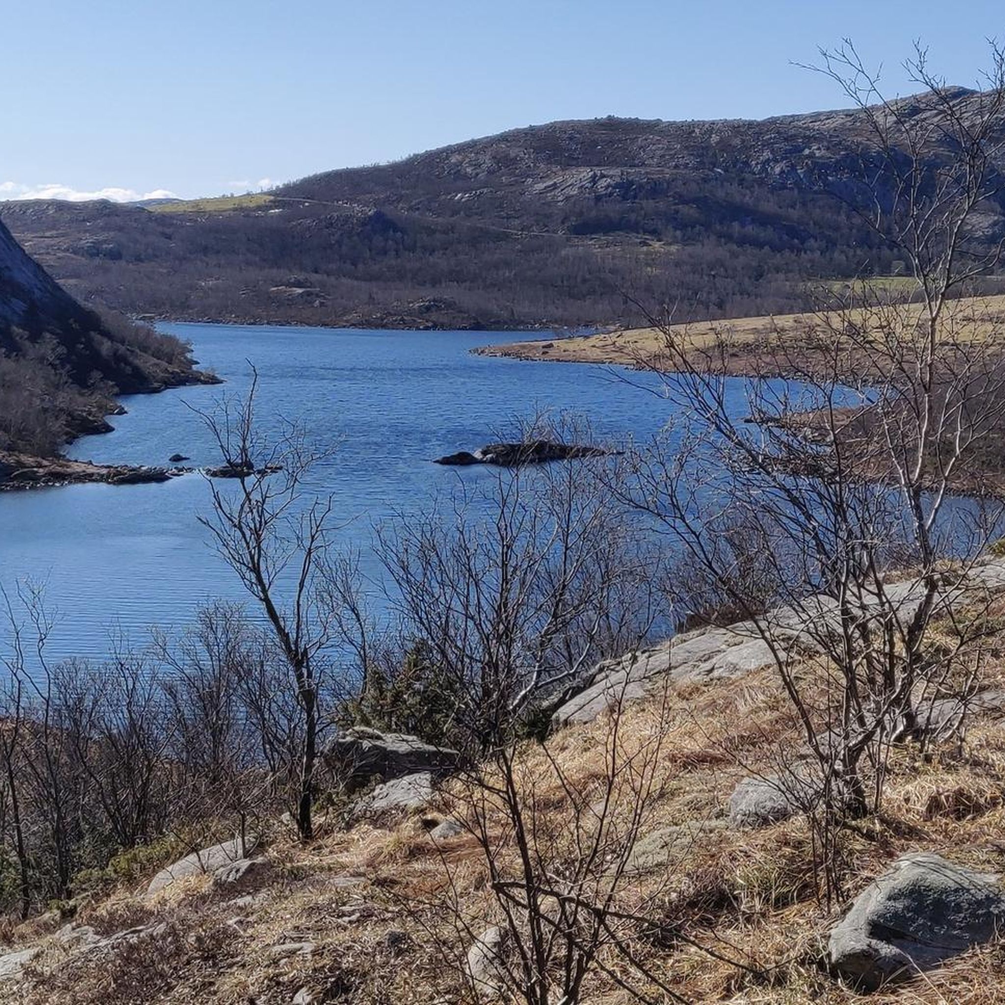
Hiking around Madlandsvatnet, located in Gjesdal, Rogaland, Norway, offers varied terrain for outdoor enthusiasts. The lake sits 250 meters above sea level within a landscape characterized by natural features such as mountain peaks, numerous lakes, and scenic waterfalls. This environment provides opportunities for both leisurely walks and more challenging excursions. The region's natural setting reflects a typical Rogaland landscape.
Best hiking trails around Madlandsvatnet
- The most popular hiking route is Gloppevatnet Lake – Jolia loop from Slettebø, a 9.9…
Last updated: June 28, 2026
5.0
(2)
11
hikers
16.0km
04:55
530m
530m
Moderate hike. Good fitness required. Easily-accessible paths. Suitable for all skill levels.
5
hikers
7.82km
02:20
170m
170m
Moderate hike. Good fitness required. Mostly accessible paths. Sure-footedness required.

Sign up for free
5.0
(2)
28
hikers
11.9km
03:44
460m
460m
Moderate hike. Good fitness required. Easily-accessible paths. Suitable for all skill levels.
5
hikers
10.0km
03:21
480m
480m
Moderate hike. Good fitness required. Easily-accessible paths. Suitable for all skill levels.
4.0
(1)
15
hikers
5.82km
02:28
490m
490m
Moderate hike. Good fitness required. Easily-accessible paths. Suitable for all skill levels.
Get access to more routes and recommendations from other explorers.
Sign up for free
Already have an account?
Our route recommendations are based on thousands of hikes, rides, and runs completed by other people on komoot.
Start today with a free account
Your next adventure awaits.
Login or Signup
Popular around Madlandsvatnet
Tips from the Community

Open cabin in Madlandsheia. Large parking lot as a starting point for the trip. Very nice walk inland and nice to stop here on the way to Vådlandsknuten. No accommodation!
0
0
Well arranged with a large car park, toilet and gap hut for rustic accommodation. Marked path to Karten, great tour.
0
0
Nice to walk from Hågå to Vølstadnutene. The path partly marked with small cairns, so-called "noodles"
0
0


Surprisingly huge and beautiful lake that appears right after taking a turn. Steep hills on both sides.
0
0
Frequently Asked Questions
How many hiking trails are available around Madlandsvatnet?
There are 14 hiking trails around Madlandsvatnet, offering a variety of experiences for outdoor enthusiasts. These routes range from easy walks to more challenging ascents.
What kind of terrain can I expect on hikes near Madlandsvatnet?
The terrain around Madlandsvatnet is diverse, typical of the Rogaland landscape. You can expect a mix of mountain peaks, numerous lakes, and varied ground conditions. Some trails feature significant elevation gain, while others offer more leisurely walks.
Are there any family-friendly hiking options around Madlandsvatnet?
Yes, the area offers routes suitable for families. While specific easy routes are available, many of the 10 moderate trails can be enjoyed by families with some hiking experience. The diverse landscape provides engaging scenery for all ages.
Can I bring my dog on the hiking trails near Madlandsvatnet?
Generally, dogs are welcome on hiking trails in Norway, but it's always recommended to keep them on a leash, especially during certain seasons to protect wildlife and livestock. Check local regulations for any specific restrictions around Madlandsvatnet before your visit.
Are there any circular hiking routes around Madlandsvatnet?
Yes, several circular routes are available. For example, the Kartalia – Karten Summit in Brekko loop from Brekkåna offers a moderate 7.8 km (4.8 miles) journey, providing a complete loop experience.
What are the difficulty levels of the hikes in the Madlandsvatnet area?
The hikes around Madlandsvatnet cater to various skill levels. Out of 14 routes, there is 1 easy trail, 10 moderate trails, and 3 difficult trails, ensuring options for both casual walkers and experienced hikers.
What natural features or landmarks can I see while hiking?
The region is rich in natural beauty. Hikers can expect to see numerous lakes, imposing mountain peaks, and potentially scenic waterfalls and canyons, which are characteristic of the Gjesdal area. Madlandsvatnet itself is known for its pristine waters and trout population.
What do other hikers say about the trails around Madlandsvatnet?
The trails around Madlandsvatnet are highly rated by the komoot community, with an average score of 4.6 stars from over 60 reviews. Hikers often praise the varied terrain and the beautiful, typical Rogaland landscape.
Is there parking available for hikers near Madlandsvatnet?
While specific parking locations are not detailed for every trail, it is generally possible to find parking near trailheads in the Gjesdal municipality. It's advisable to check the starting points of individual routes for precise parking information.
Are there any challenging hikes for experienced trekkers?
Yes, for experienced trekkers, there are 3 difficult routes available. These trails typically involve significant elevation gain and more rugged terrain, offering a rewarding challenge amidst the stunning Norwegian landscape.
What is the best time of year to go hiking around Madlandsvatnet?
The best time to hike around Madlandsvatnet is typically during the warmer months, from late spring to early autumn (May to September), when the weather is milder and trails are clear of snow. This period offers the most pleasant conditions for enjoying the diverse landscape.
Are there any routes that offer significant elevation gain for panoramic views?
Yes, routes like the Hågå Summit Loop Trail feature substantial elevation gain, providing opportunities for expansive views of the surrounding Gjesdal area and its characteristic Rogaland landscape.
Most popular routes around Madlandsvatnet

Get inspired with the komoot mobile app


Explore more
Browse the best Hikes in other regions.
