The best MTB trails in El Paso County
4.9
(15)
507
riders
47
rides
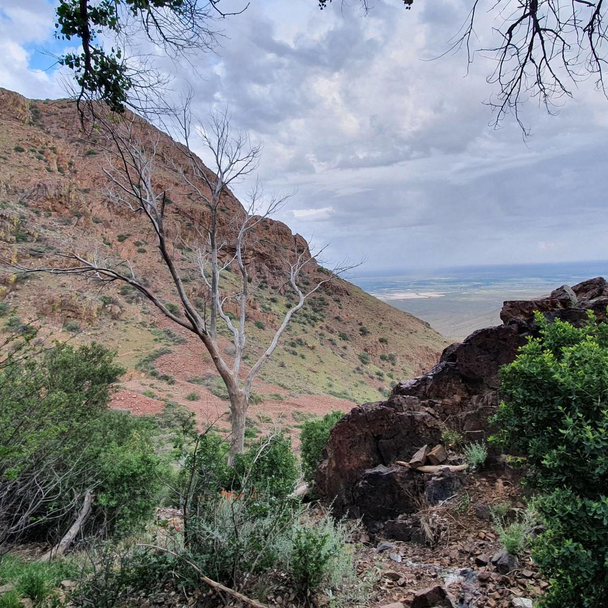
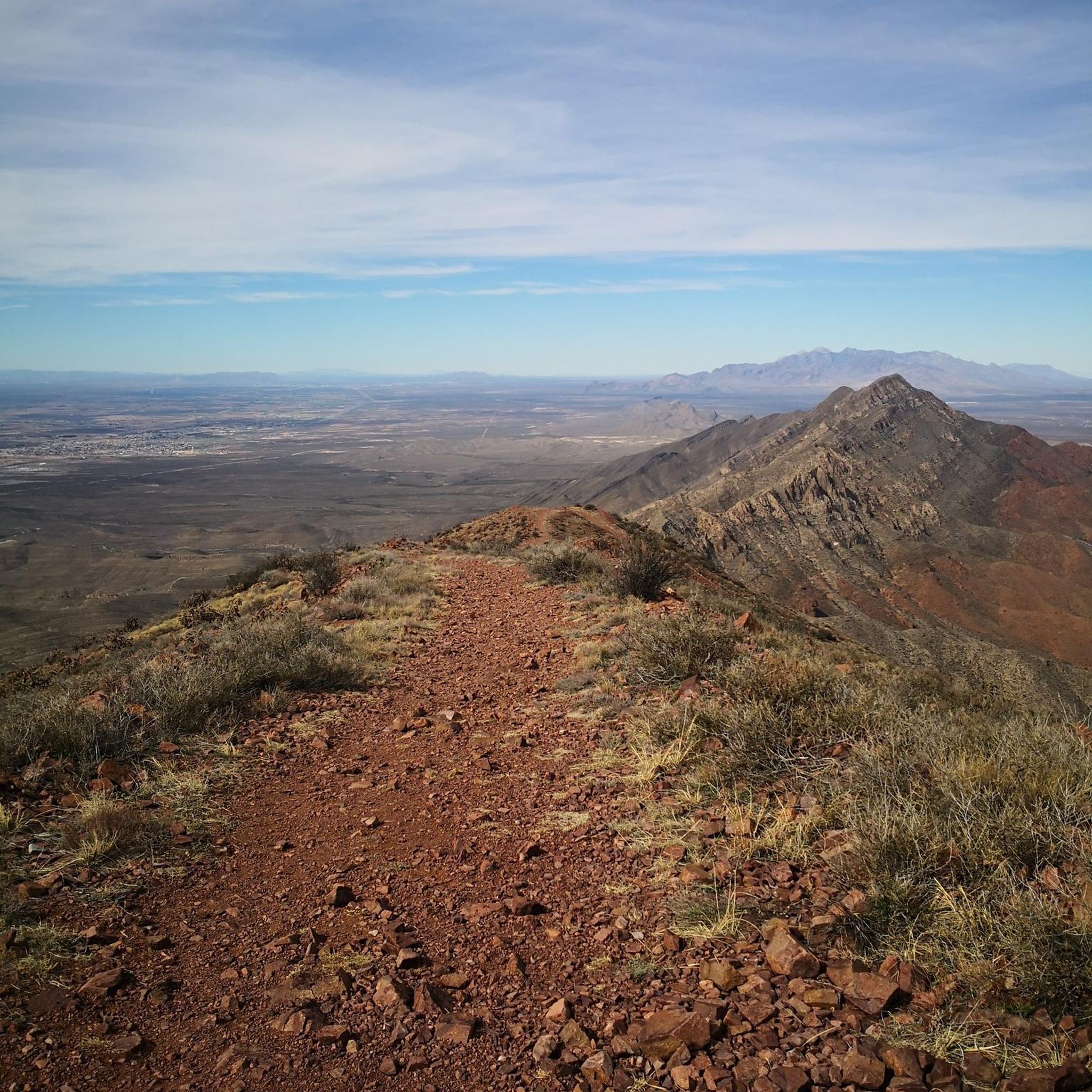
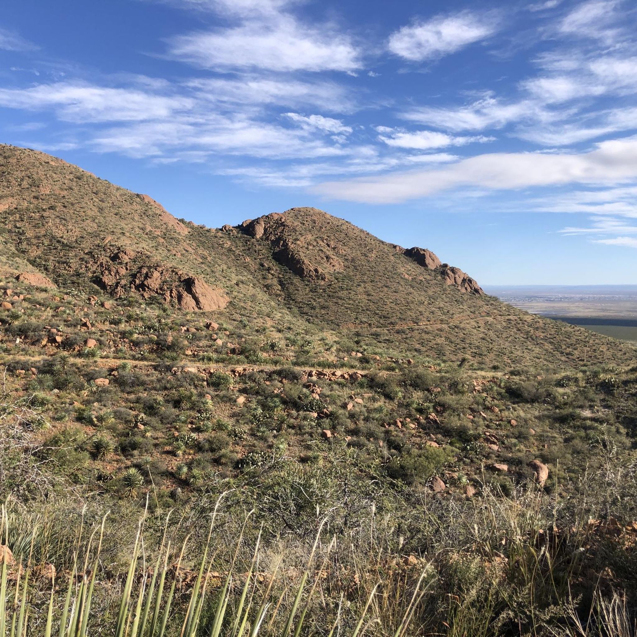
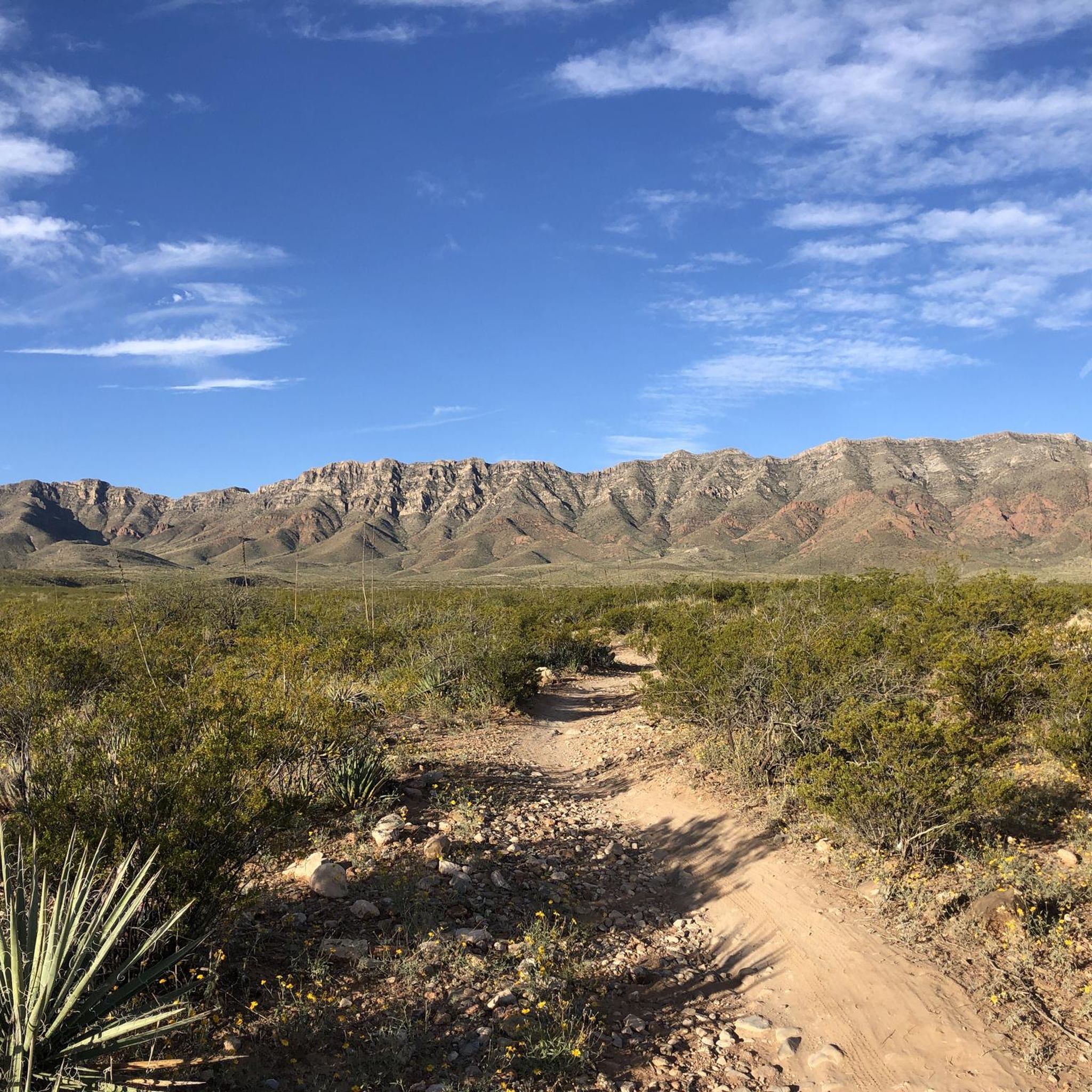
Mountain biking in El Paso County offers diverse landscapes, from the rugged desert terrain of the Franklin Mountains to the gravel paths along the Rio Grande. The region is characterized by ancient rock formations, desert canyons, and varied trails suitable for different skill levels. These natural features provide a unique backdrop for outdoor adventures.
Best mountain bike trails in El Paso County
- The most popular mountain bike trail is Lazy Cow and Mad Cow Trails Loop, a 9.0 miles (14.6 km) trail that takes 1 hour 20 minutes to complete. This easy route offers expansive desert views.
- Another top favourite among local mountain bikers is Small wooden bridge – Lazy Cow Trail loop from Chuck Heinrich Park, a moderate 18.1 miles (29.2 km) path. This route traverses varied desert landscapes.
- Local mountain bikers also love the Mad Cow Trail – Small wooden bridge loop from Chuck Heinrich Park, a 17.4 miles (28.1 km) trail leading through desert terrain, often completed in about 2 hours 33 minutes.
- Mountain biking in El Paso County is defined by rugged desert terrain, ancient rock formations, and canyons. The network offers options for easy, moderate, and difficult trails, catering to various ability levels.
- The routes in El Paso County are highly rated by the komoot community with an average score of 5.0 stars from over 10 reviews. More than 300 mountain bikers have used komoot to explore El Paso County's varied terrain.
Last updated: August 18, 2026
8
riders
14.6km
01:21
210m
200m
Mountain bike the Lazy Cow and Mad Cow Trails Loop for an easy 9.1 miles (14.6 km) adventure, gaining 677 feet (206 metres) in about 1 hour and 20 minutes. As you ride, you will encounter smooth singletrack mixed with occasional sandy patches and rocky sections. Keep an eye out for native desert flora and local wildlife while enjoying views of the Franklin Mountains to the west.
This multi-use route is open all year, but the cooler months from September to May offer the best conditions for mountain biking, helping you avoid the intense summer heat. You will find general parking available right at the trailhead, making access straightforward. Remember that hikers, bird watchers, and leashed dogs also share the trail, so be mindful of others.
Located within Franklin Mountains State Park, the Lazy Cow and Mad Cow Trails Loop provides an accessible introduction to mountain biking in the El Paso region. It is a great way to experience the desert landscape and its unique ecosystem, offering a relaxed ride for those new to the sport or looking for a gentle outing.
5.0
(1)
41
riders
26.0km
02:17
280m
280m
Moderate mountain bike ride. Good fitness required. Suitable for all skill levels.

Sign up for free
5.0
(2)
28
riders
21.0km
01:48
200m
200m
Easy mountain bike ride. Great for any fitness level. Suitable for all skill levels.
5.0
(3)
30
riders
88.4km
07:35
1,040m
1,040m
Hard mountain bike ride. Very good fitness required. Suitable for all skill levels.
5.0
(2)
25
riders
18.3km
01:36
180m
180m
Easy mountain bike ride. Great for any fitness level. Suitable for all skill levels.
4.0
(1)
22
riders
28.1km
02:34
390m
390m
Moderate mountain bike ride. Good fitness required. Suitable for all skill levels.
16
riders
Easy mountain bike ride. Great for any fitness level. Suitable for all skill levels.
19
riders
59.0km
05:55
1,270m
1,280m
Hard mountain bike ride. Very good fitness required. Suitable for all skill levels.
5.0
(1)
14
riders
Easy mountain bike ride. Great for any fitness level. Suitable for all skill levels.
5.0
(1)
14
riders
10.3km
00:54
100m
100m
Easy mountain bike ride. Great for any fitness level. Suitable for all skill levels.
Get access to more routes and recommendations from other explorers.
Sign up for free
Already have an account?
Our route recommendations are based on thousands of hikes, rides, and runs completed by other people on komoot.
Start today with a free account
Your next adventure awaits.
Login or Signup




Tips from the Community


The Lazy Cow Trail is one of the most accessible routes in the park, making it a great option for an offroad ride. Its smooth surface and gentle gradients (for the area) make for fun ride, though it can get busy during peak season.
0
0

In the park named after the former president of Mexico, known as the Father of the Americas, you can find this monument in his honor, which was inaugurated in 1910 shortly before the start of the revolution.
1
0
If you look carefully from this point at the rocky elevation to the east, you'll be able to see the entrance to the well-known Cueva Roja (Red Cave in Spanish). The cave gets its name from the red clay mineral inside, which you can notice even as you approach. However, if you want to climb up to see the entrance, you'll need to do it dismounted from the bike.
1
0
Cyclist friends who never lack water
1
0

Lazy Cow Trail is one of the easiest trails in the park and can be a crowded trail in the busy season. It's a great trail for running because of how smooth and gradual it is. It wouldn't be a bad place to do some strides at the end of a run.
0
0
Mad Cow Trail is a little less "bike specific" than some of the other trails in this trail network and is great single-track for running. There are some rocky and sandy areas, so it's not like a smooth dirt road, but it's a great cruiser if you hit it for the downhill. Just keep your ears peeled for bikes.
0
0
Frequently Asked Questions
How many mountain bike trails are available in El Paso County?
El Paso County offers a wide variety of mountain bike trails. According to komoot data, there are 38 routes available, with 20 easy, 14 moderate, and 4 difficult options, catering to all skill levels.
What is the best time of year for mountain biking in El Paso County?
Thanks to its year-round sunshine, warm temperatures, and mild climate, El Paso County is an ideal destination for mountain biking throughout much of the year. Spring and fall offer particularly pleasant conditions, avoiding the peak summer heat.
Are there mountain bike trails suitable for beginners in El Paso County?
Yes, El Paso County has several easy mountain bike trails perfect for beginners. For example, the Lazy Cow and Mad Cow Trails Loop is an easy 9.0-mile (14.6 km) route offering expansive desert views. Another great option is the Mountainbike loop from Lost Dog Nature Preserve.
Where can I find more challenging mountain bike trails in El Paso County?
For experienced riders seeking a challenge, El Paso County features several difficult trails. Consider the Small wooden bridge – Mad Cow Trail loop from Chuck Heinrich Park, a demanding 37.2-mile (59.9 km) route, or the Small wooden bridge – Lazy Cow Trail loop from Northwestern/Hoover, which is 40.3 miles (64.9 km) long with significant elevation changes.
What kind of landscapes can I expect to see while mountain biking in El Paso County?
Mountain biking in El Paso County offers diverse landscapes. You'll primarily encounter rugged desert terrain and ancient rock formations, especially within the majestic Franklin Mountains. Some trails also feature desert canyons, while the Rio Grande levee trails provide flatter, gravel-paved paths with occasional shaded irrigation sections.
Are there any loop mountain bike trails in El Paso County?
Many mountain bike trails in El Paso County are designed as loops, offering a convenient way to explore the area. Popular loop options include the Lazy Cow and Mad Cow Trails Loop and the Top of Babyhead loop from Franklin High School.
What do other mountain bikers say about the trails in El Paso County?
The mountain bike trails in El Paso County are highly rated by the komoot community, with an average score of 5.0 stars from over 10 reviews. More than 300 mountain bikers have used komoot to explore the varied terrain, often praising the unique desert scenery and the range of difficulty levels available.
Is parking available at the trailheads in El Paso County?
Yes, many popular mountain biking areas in El Paso County, such as Chuck Heinrich Park and Lost Dog Nature Preserve, offer designated parking facilities near the trailheads, making access convenient for riders.
Are mountain bike trails in El Paso County dog-friendly?
Many trails in El Paso County, particularly those in areas like Lost Dog Nature Preserve, are generally dog-friendly. However, it's always recommended to check specific park regulations and trail rules before heading out, and ensure your dog is on a leash and you carry waste bags.
What attractions or points of interest can I find near the mountain bike trails?
While mountain biking in El Paso County, you can explore several natural attractions. Near the trails, you might encounter the Thousand Steps Trail, the Lazy Cow Trail, or the scenic McKelligon Canyon Road. For those interested in unique geological features, the Aztec Cave and Tin Mines are also nearby.
Are there any less crowded mountain bike trails or 'hidden gems' in El Paso County?
While popular trails can see more traffic, areas like Lost Dog Nature Preserve, with its 53 trails, offer a good chance to find less crowded routes. Exploring some of the longer, more difficult loops, such as the Mountainbike loop from Northwestern/Hoover, might also lead to a more solitary experience.
Most popular routes in El Paso County
Most popular attractions in El Paso County

Get inspired with the komoot mobile app


Didn’t find what you were looking for?
Check out more MTB trails throughout El Paso County below and find the perfect route in your destination.
Explore more
Browse the best MTB trails in other regions.
