The best road cycling routes in Jackson County
5.0
(1)
20
riders
6
rides
Road cycling routes in Jackson County, Colorado, traverse diverse landscapes characterized by high-altitude plains, river valleys, and mountainous terrain. The region features a mix of paved roads and challenging climbs, with routes often following historic trails or connecting small towns. Cyclists can expect varied elevation profiles, from rolling sections to significant ascents, reflecting the area's position within the Rocky Mountains.
Best road cycling routes in Jackson County
- The most popular road cycling route is TransAmerica Trail (Colorado), a 48.8…
Last updated: July 7, 2026
7
riders
78.6km
03:41
880m
880m
Moderate road ride. Good fitness required. Mostly well-paved surfaces and easy to ride.
1
riders
156km
08:07
2,050m
2,050m
Hard road ride. Very good fitness required. Mostly well-paved surfaces and easy to ride.

Sign up for free
1
riders
83.5km
03:55
720m
720m
Moderate road ride. Good fitness required. Mostly well-paved surfaces and easy to ride.
95.0km
05:02
1,200m
1,200m
Hard road ride. Very good fitness required. Mostly well-paved surfaces and easy to ride.
5.0
(1)
6
riders
35.3km
02:01
840m
840m
Moderate road ride. Good fitness required. Mostly well-paved surfaces and easy to ride.
5
riders
27.3km
01:30
570m
570m
Moderate road ride. Good fitness required. Mostly well-paved surfaces and easy to ride.
Our route recommendations are based on thousands of hikes, rides, and runs completed by other people on komoot.
Start today with a free account
Your next adventure awaits.
Login or Signup
Popular around Jackson County
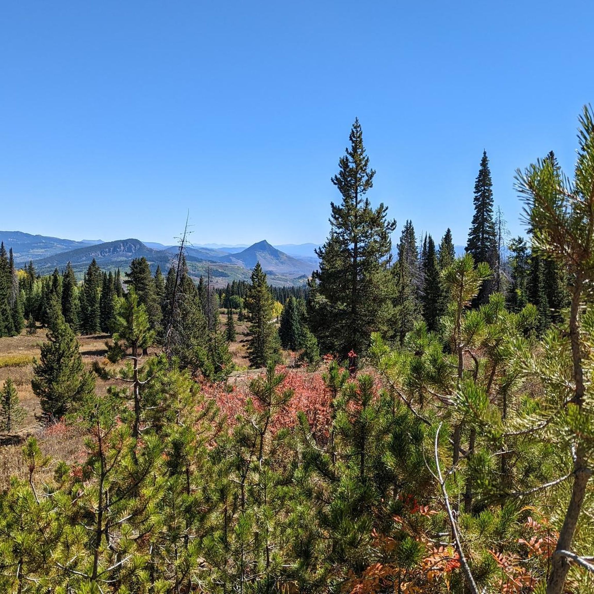
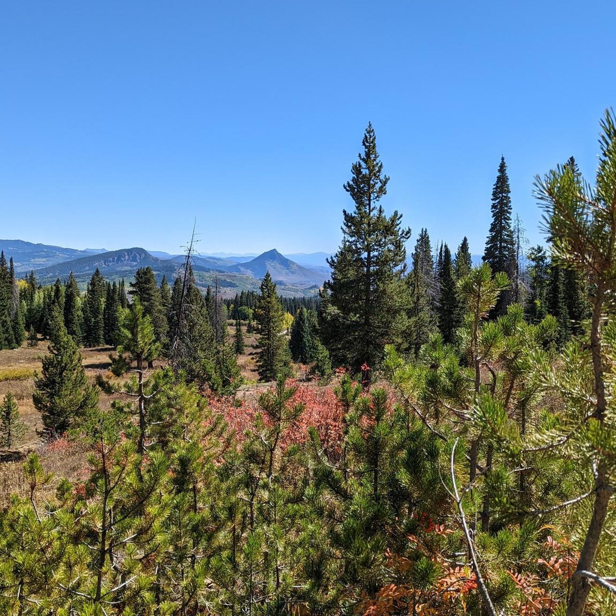
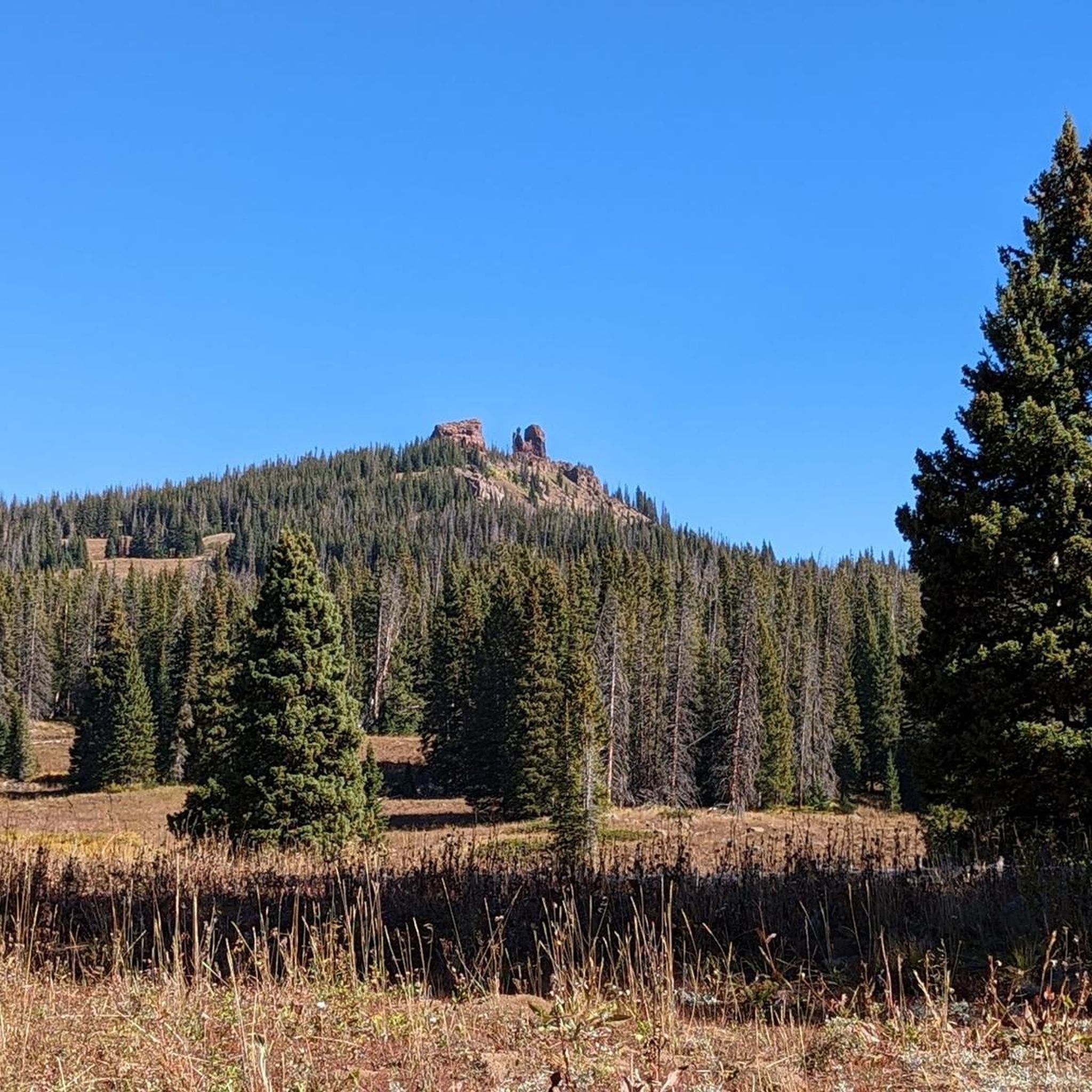
Tips from the Community

This overlook is one of the official overlooks along Trail Ridge Road and offers an amazing panorama of the Never Summer Range and Kawnueeche Valley.
0
0

Rocky Mountain National Park's Alpine Visitor Center is located at 11,796 feet and sits four miles east of the Continental Divide. It offers restrooms, exhibits and a gift shop. Due to the winter environment the visitor center usually opens around Memorial Day and closes sometime in October.
0
0
Kremmling lies at the intersection of Highway 40 and CO-9, serving as an outdoor recreation hub for hunting and fishing. The town itself offers several restaurants, saloons, stores, and hotels.
0
0
Rabbit Ears Pass derives its name from a rock formation visible from the pass that resembles "rabbit ears." The pass offers stunning views of the Yampa Valley and provides excellent access to Routt National Forest.
0
0

All told, the TransAmerica Trail runs for more than 4,000 miles across the country. Although it's technically a road ride, you'll also see people riding their touring bikes along the paved shoulder. Some folks even go all-in with bikepacking their way along the trail. This segment runs from the twin towns of Encampment-Riverside in Wyoming to the Colorado state line, although of course you can keep biking farther if you like.
2
0
This is actually a road ride — not a separate trail — and it is unbelievably scenic. The entire trail is more than 4,000 miles long; this segment runs from the twin towns of Encampment and Riverside in Wyoming to the Colorado state line with just one section of significant uphill/downhill grade. Of course the trail keeps going beyond that, so you could continue riding farther if you like.
3
0
Rocky Mountain National Park's Alpine Visitor Center is located at 11,796 feet and sits four miles east of the Continental Divide. It offers restrooms, exhibits and a gift shop. Due to the winter environment the visitor center usually opens around Memorial Day and closes sometime in October.
1
0
Willow Creek Pass sits on the Continental Divide along the Rabbit Ears Range at 9,683 in elevation. Willow Creek, the passes namesake runs along the south side of the pass.
0
0
Frequently Asked Questions
What kind of terrain can I expect on road cycling routes in Jackson County?
Road cycling in Jackson County, Colorado, offers a diverse experience. You'll encounter high-altitude plains, scenic river valleys, and mountainous terrain. Routes feature a mix of paved roads and challenging climbs, with varied elevation profiles ranging from rolling sections to significant ascents, reflecting the area's position within the Rocky Mountains.
Are there road cycling routes suitable for different skill levels?
Yes, Jackson County provides options for various ability levels. While many routes involve significant elevation gain, there are moderate long-distance rides available. For example, the TransAmerica Trail (Colorado) is a moderate 48.8-mile route, and the TransAmerica Trail: Encampment to Colorado State Line is another moderate option at 51.9 miles.
What are some of the longer, more challenging road cycling routes in the area?
For those seeking a significant challenge, the Kremmling — Steamboat route is a difficult 96.7-mile trail through mountainous terrain, often taking over 8 hours to complete. Another difficult option is the Loop to the north of Kremmling, which covers nearly 95 miles with substantial elevation gain.
Are there any loop road cycling routes in Jackson County?
Yes, Jackson County offers several excellent loop routes. You can explore the Loop to the north of Kremmling, a challenging option. For moderate loops, consider the Alpine Visitor Center loop from Timber Lake Trailhead or the Fairview Curve Overlook loop from Holzwarth Historic Area.
What natural features or landmarks can I see along the road cycling routes?
Jackson County's routes often pass through areas with notable natural features. You might encounter mountain passes like Montgomery Pass and Willow Creek Pass, or even catch views of peaks such as Rabbit Ears Peak. The region is characterized by its high-altitude plains and river corridors.
What do other road cyclists enjoy the most about road cycling in Jackson County?
The area is highly rated by the komoot community, with an average score of 5.0 stars from over 1 review. Reviewers often praise the varied terrain, which includes high-altitude plains, river corridors, and mountain passes, offering options for different ability levels and scenic views.
Are there any specific trails that are part of a larger network?
Yes, a segment of the iconic TransAmerica Trail (Colorado) runs through Jackson County. Another related route, TransAmerica Trail: Encampment to Colorado State Line, connects Wyoming to the Colorado state line, offering open landscapes.
How long do road cycling routes typically take to complete in Jackson County?
The duration varies significantly depending on the route's length and difficulty. Moderate routes like the TransAmerica Trail (Colorado) can take around 3 hours 40 minutes. Longer, more difficult routes, such as Kremmling — Steamboat, may require over 8 hours to complete.
What is the best time of year for road biking in Jackson County?
Given the region's high-altitude and mountainous terrain, the best time for road biking is typically during the warmer months, from late spring through early autumn. This avoids snow and ice, ensuring safer and more enjoyable conditions on the passes and higher elevations.
Are there any specific points of interest or attractions near the road cycling routes?
Beyond the routes themselves, you can find highlights such as the TransAmerica Trail: Encampment to Colorado State Line, which is also a cycleway. Other points of interest include Rabbit Ears Peak and various mountain passes like Montgomery Pass and Willow Creek Pass.
How many road cycling routes are available in Jackson County?
There are 6 road cycling routes detailed in this guide for Jackson County, offering a range of distances and difficulties for cyclists to explore.
Most popular attractions in Jackson County

Get inspired with the komoot mobile app


Explore more
Browse the best Road cycling routes in other regions.
