The best road cycling routes in Park County
128
riders
5
rides
Road cycling routes in Park County traverse diverse Rocky Mountain landscapes, offering significant elevation gains and panoramic views. The region is characterized by high-altitude terrain, including passes and forested areas. Cyclists can expect varied scenery, from mountain vistas to reservoir views, across different routes.
Best road cycling routes in Park County
- The most popular road cycling route is Beartooth Pass from Cooke, a 66.8 miles (107.5 km) trail that takes 5 hours 37 minutes to complete. This difficult route…
Last updated: August 21, 2026
2
riders
107km
05:38
2,000m
2,000m
Road cycling the Beartooth Pass from Cooke is a difficult 66.8-mile route with 6577 feet of elevation gain through Shoshone National Forest.
14
riders
49.9km
03:01
250m
250m
Moderate road ride. Good fitness required. Some segments of this route may be unpaved and difficult to ride.

Sign up for free
17
riders
29.5km
01:16
120m
120m
Easy road ride. Great for any fitness level. Mostly well-paved surfaces and easy to ride.
7
riders
Moderate road ride. Good fitness required. Some segments of this route may be unpaved and difficult to ride.
9
riders
120km
06:52
2,760m
2,760m
Hard road ride. Very good fitness required. Mostly well-paved surfaces and easy to ride.
Our route recommendations are based on thousands of hikes, rides, and runs completed by other people on komoot.
Start today with a free account
Your next adventure awaits.
Login or Signup
Popular around Park County
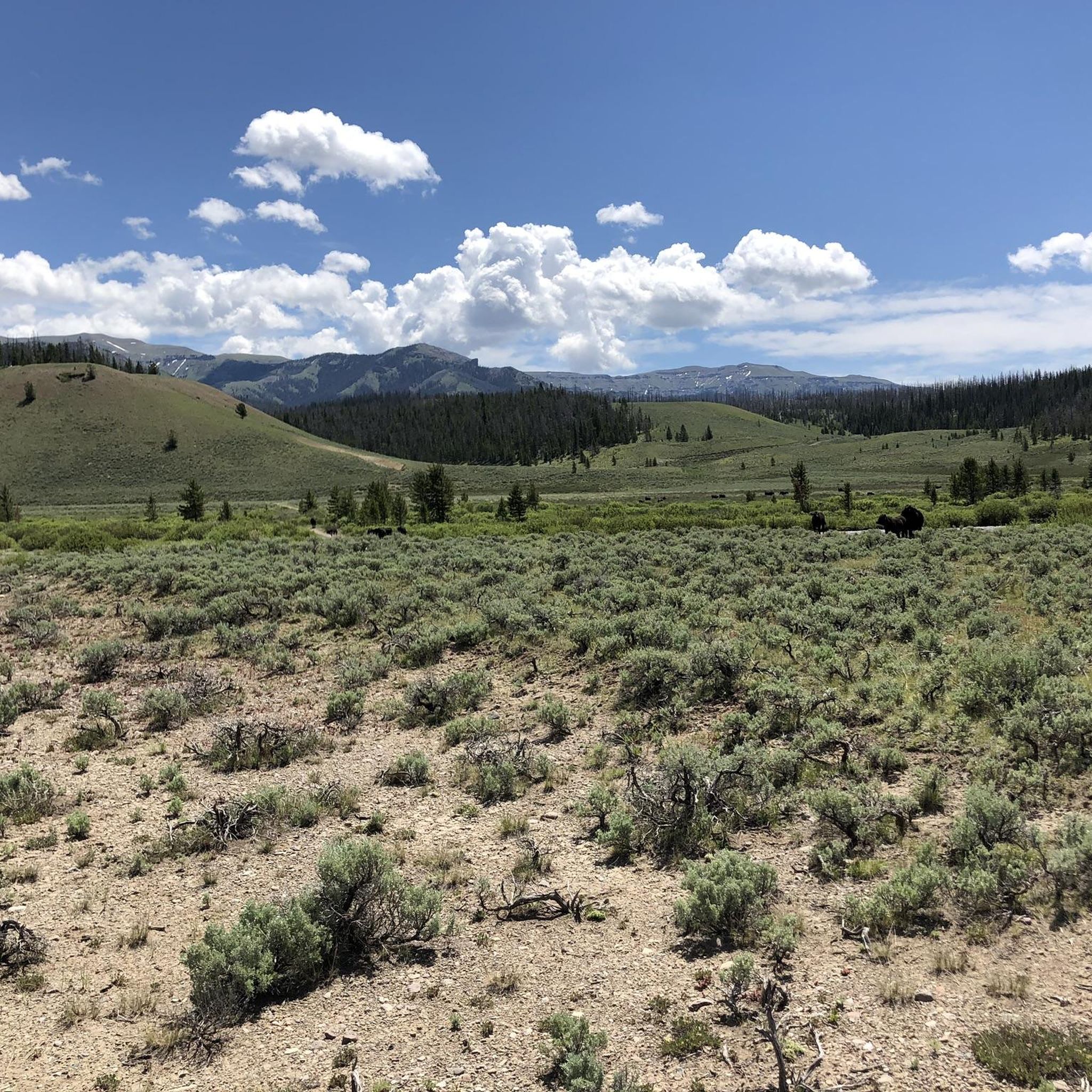
Road Cycling Routes in Shoshone National Forest
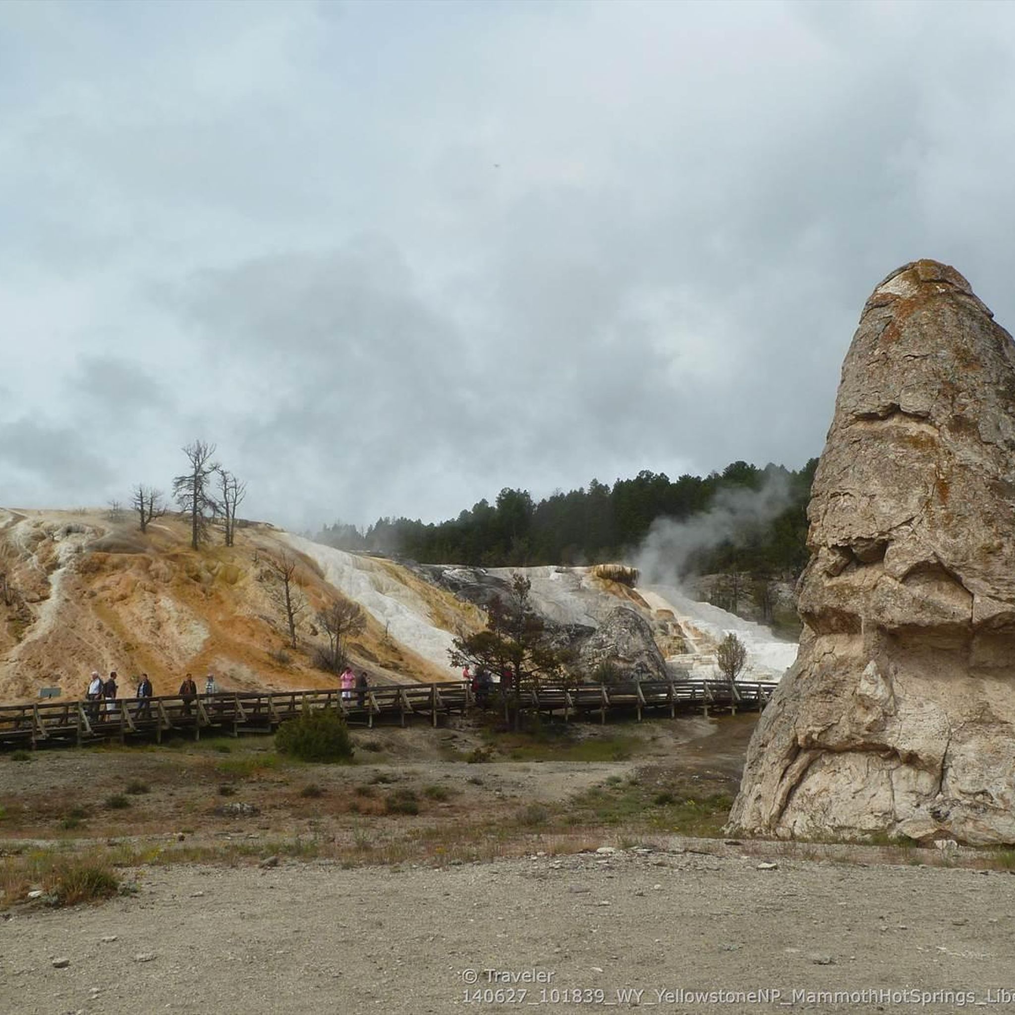
Road Cycling Routes in Yellowstone National Park
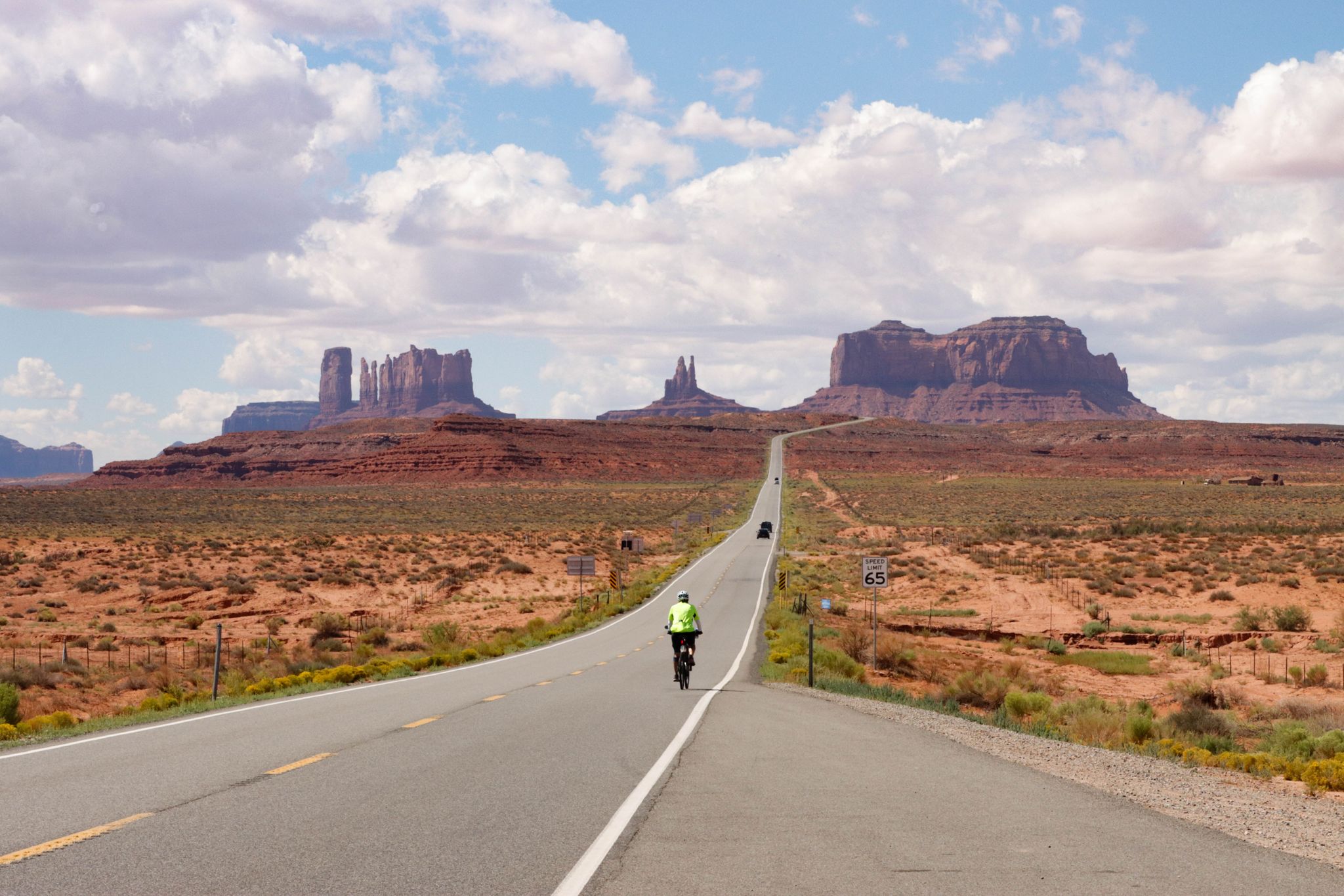
From the Arctic Ocean to the Panama Canal — North American Epic

From the mountain peaks to the prairie – Rocky Mountains and Great Plains
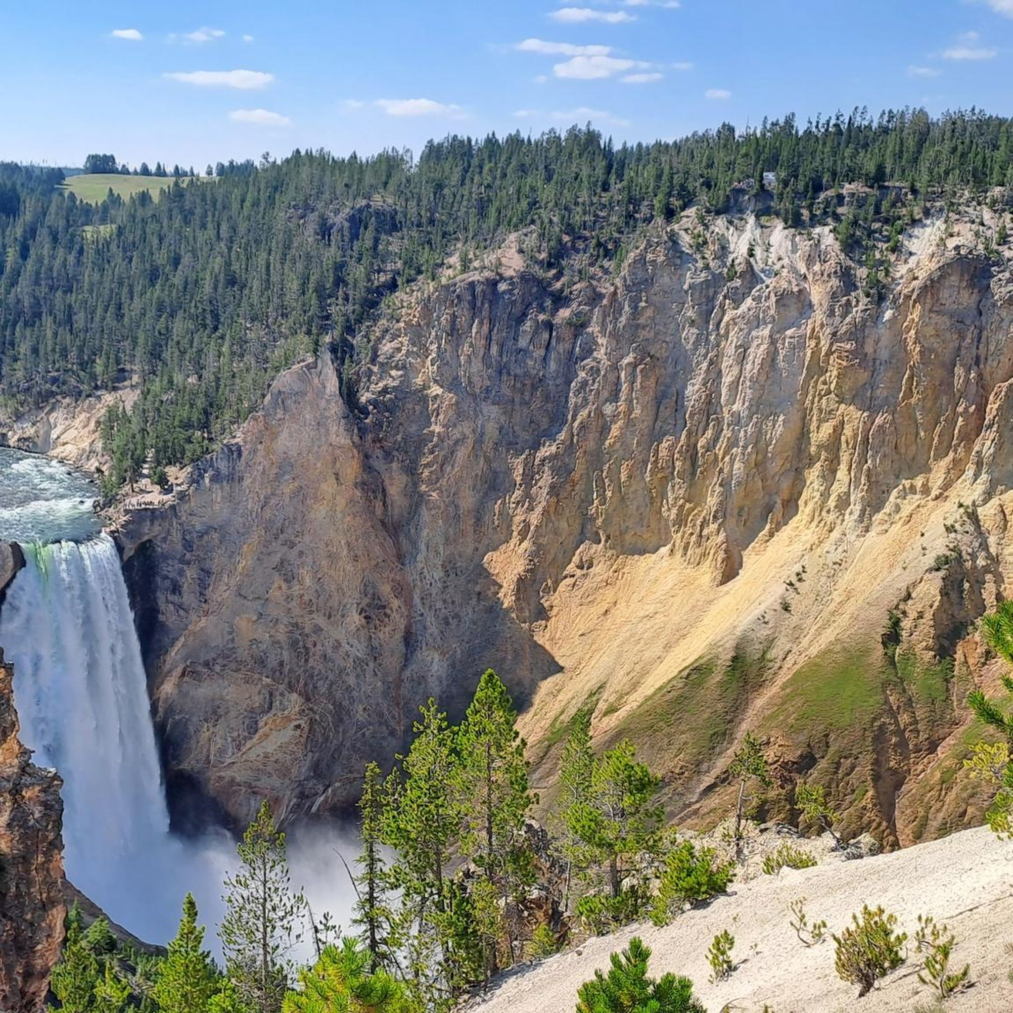
Hiking in Park County
Cycling in Park County
Running Trails in Park County


Tips from the Community

Wooden walkways guide visitors through the fascinating, ever-changing geothermal area. Hot, lime- and mineral-rich water bubbles to the surface and, as it flows down the slopes, deposits lime and minerals, creating the distinctive, constantly growing terraces in various colors.
0
0

West Yellowstone serves as the main entry point along the western edge of Yellowstone National Park, and it is well equipped to handle visitors. You'll find a wide range of accommodation and dining options as well as grocery stores. It's a good place to resupply for those on the Great Divide Mountain Bike Route.
0
0

The Mammoth Hot Springs Terraces are a stunning collection of cascading limestone formations created by thermal water flowing over the landscape. Their colors and constantly changing shapes make them one of Yellowstone’s most unique geothermal features.
0
0

Famous for its amazing terraces made of rock. Hot water from underground rises to the surface, bringing minerals with it. As the water cools, these minerals, mostly calcium carbonate, are left behind, building up over thousands of years into unique, stair-like formations.
0
0

The Lower Geyser Basin is a geothermal wonderland, offering a short and accessible hike that showcases a variety of features, including geysers, hot springs, mud pots, and fumaroles. Notable sights include the Fountain Paint Pots, Clepsydra Geyser, and Red Spouter. The vibrant colors and unique formations make this trail a must-see for nature enthusiasts and photographers alike. **Gear Needed:** - **Comfortable Footwear:** The trail is mostly flat, but sturdy shoes are recommended for walking on the boardwalk. - **Water:** Stay hydrated, especially during warmer months. - **Sun Protection:** A hat, sunscreen, and sunglasses are essential. - **Camera:** Capture the stunning geothermal features and landscapes. **Timing:** The hike is approximately 0.5 miles long and takes about 30 minutes to complete. It's best to visit early in the morning or late afternoon to avoid crowds and enjoy cooler temperatures. **Key Points:** - The trail is family-friendly and suitable for all skill levels. - The boardwalk provides easy access to the geothermal features, making it wheelchair accessible. - Be mindful of safety guidelines—stay on the boardwalk to protect yourself and the fragile environment. - Wildlife sightings, such as bison or elk, are possible, so keep your distance and respect their space. This hike is perfect for those looking to experience Yellowstone's geothermal beauty without a strenuous trek. The Lower Geyser Basin offers a glimpse into the park's dynamic volcanic activity and is a memorable addition to any Yellowstone itinerary.
0
0

There are hot springs everywhere
6
0
This pool of crystal blue water can reach temperatures of 64 °C
0
0
Frequently Asked Questions
What types of road cycling routes can I find in Park County?
Park County offers a diverse range of road cycling routes, from easy loops to challenging climbs. You'll find routes traversing stunning Rocky Mountain landscapes, high-altitude passes, and forested areas, with options for various fitness levels. There are 6 routes documented in this guide, including 1 easy, 2 moderate, and 3 difficult options.
Are there any easy road cycling routes suitable for beginners in Park County?
Yes, for those seeking an easier ride, the West Yellowstone – Yellowstone Shortline Trail loop from West Yellowstone is an excellent choice. This 18.3-mile (29.5 km) route leads through varied landscapes and has a minimal elevation gain, making it suitable for a more relaxed cycling experience.
Which road cycling routes offer significant elevation gains and panoramic views?
Many routes in Park County feature substantial elevation gains and breathtaking views. For a challenging experience, consider the Beartooth Pass from Cooke, which covers 66.8 miles (107.5 km) with over 2,000 meters of ascent. Another demanding option is the State Line Montana/Wyoming – Beartooth Pass loop from Parkside Campground, featuring over 2,700 meters of elevation gain over 74.9 miles (120.6 km). The region is known for passes like Guanella Pass and Hoosier Pass, which offer alpine vistas and cross the Continental Divide.
What are some scenic viewpoints or natural features I can expect along the road cycling routes?
Park County is rich in natural beauty. Many routes offer views of prominent peaks like Mount Democrat, Mount Bross, and Mount Sherman. You can also expect to see the Tenmile and Mosquito Ranges. Specific attractions include the Upper Yellowstone Falls and Lower Yellowstone Falls, as well as viewpoints like View of Lower Falls from Artist Point and Calcite Springs Overlook. The region also features numerous lakes such as Sour Lake and Clear Lake, and reservoirs like Eleven Mile and Antero, providing diverse scenic backdrops.
Are there any moderate road cycling routes that offer a good balance of challenge and scenery?
Absolutely. The Palette Springs – Mammoth Hot Springs Terraces loop from Nymph Lake is a moderate 38.9-mile (62.6 km) path with over 600 meters of elevation gain, offering scenic views. Another moderate option is the Canyon Village loop from National Park Mountain, which covers 50.5 miles (81.3 km) with over 800 meters of ascent, providing a rewarding ride without extreme difficulty.
What is the best time of year for road cycling in Park County?
The best time for road cycling in Park County is generally from spring to fall. During these seasons, you can experience blooming wildflowers, vibrant fall foliage, and more favorable weather conditions. High-altitude passes like Guanella Pass and Boreas Pass are particularly stunning in the fall with their aspen groves. Always check local weather conditions, especially for higher elevations, as they can change rapidly.
Are there any long-distance road cycling routes in Park County?
Yes, Park County offers several long-distance routes for endurance cyclists. The State Line Montana/Wyoming – Beartooth Pass loop from Parkside Campground is a challenging 74.9-mile (120.6 km) route. Another long option is the Inspiration Point Road – Canyon Village loop from Mammoth Hot Springs Terraces, spanning 74.7 miles (120.1 km) with significant elevation changes.
What do other road cyclists enjoy most about road cycling in Park County?
Komoot users frequently praise Park County for its high mountain passes, challenging climbs, and expansive vistas. The region's diverse terrain, from mountain views to reservoir scenery, is a major draw. Over 30 road cyclists have explored the area using komoot, highlighting the variety of routes available for different ability levels.
Are there any circular road cycling routes in Park County?
Many of the road cycling routes in Park County are designed as loops, allowing you to start and finish in the same location. Examples include the West Yellowstone – Yellowstone Shortline Trail loop from West Yellowstone, the Palette Springs – Mammoth Hot Springs Terraces loop from Nymph Lake, and the State Line Montana/Wyoming – Beartooth Pass loop from Parkside Campground. These loops provide convenient options for exploring the region.
What kind of landscapes will I encounter on road cycling routes in Park County?
Road cycling in Park County offers a journey through diverse Rocky Mountain landscapes. You'll experience high-altitude terrain, including challenging passes and scenic byways like Guanella Pass and Boreas Pass. Routes often wind through forested areas, open meadows, and provide stunning views of mountain ranges, reservoirs such as Eleven Mile and Antero, and pristine lakes.
Are there any specific attractions or landmarks near the cycling routes that are worth exploring?
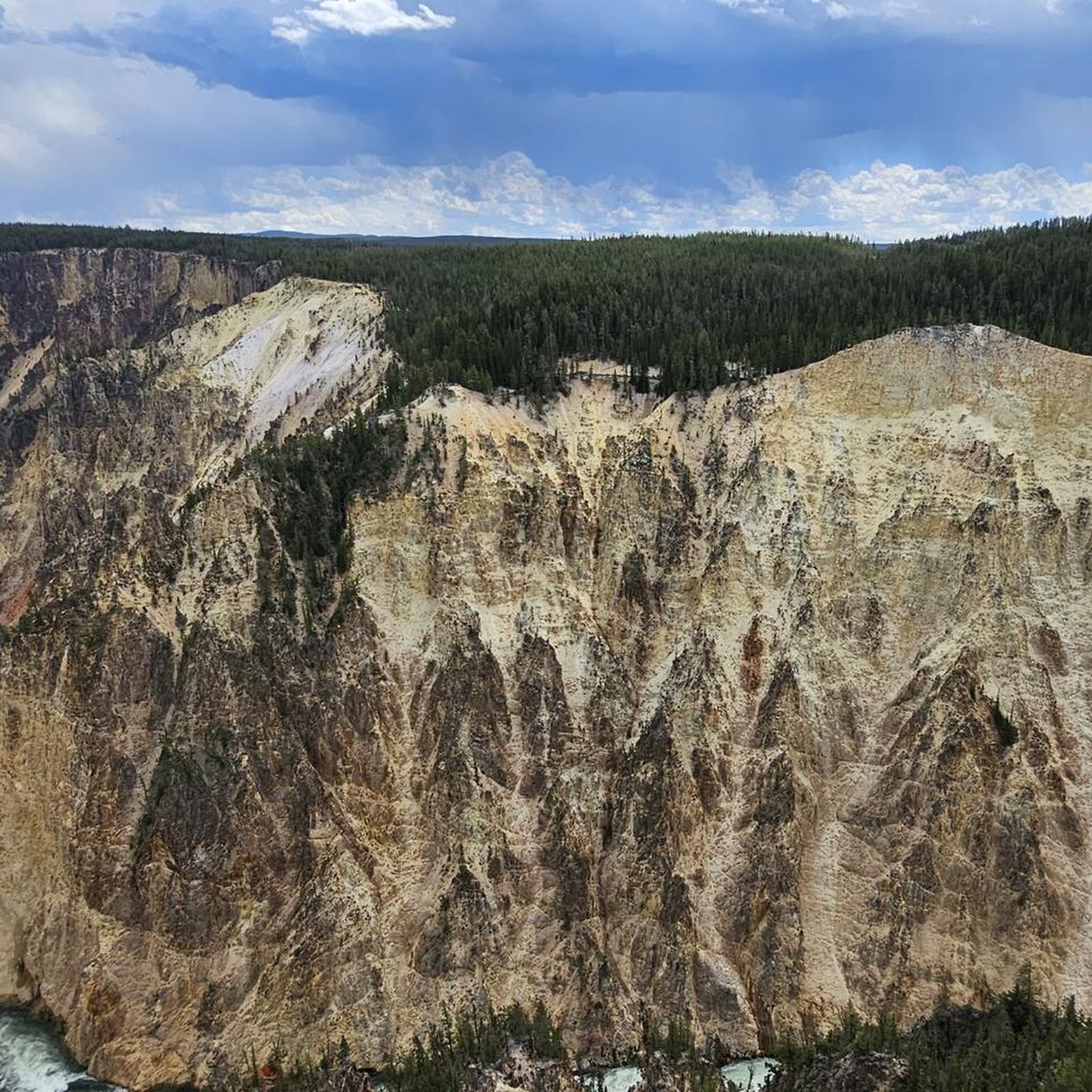
Beyond the cycling itself, Park County offers numerous attractions. You can visit the dramatic Upper Yellowstone Falls and Lower Yellowstone Falls, or enjoy panoramic views from Artist Point. Other notable natural features include Calcite Springs Overlook and various serene lakes like Sour Lake and Clear Lake, many of which are accessible from or near the cycling paths.
Most popular attractions in Park County

Get inspired with the komoot mobile app


Didn’t find what you were looking for?
Check out more Road cycling routes throughout Park County below and find the perfect route in your destination.
Explore more
Browse the best Road cycling routes in other regions.
