The best walks and hikes around Nesøytjern
4.6
(232)
2,534
hikers
199
hikes
Hiking around Nesøytjern offers access to a unique nature reserve characterized by its calcium-rich bedrock and diverse forest ecosystems, including rare swamp and calciferous spruce forests. The area features a tranquil lake environment, situated 14 meters above sea level, with its outflow leading to the sea. Designated trails guide hikers through varied vegetation zones, providing opportunities to observe rich biodiversity in a protected setting.
Best hiking trails around Nesøytjern
- The most popular hiking route is Waterfront View loop from Nesøya…
Last updated: October 13, 2026
5.0
(1)
7
hikers
6.59km
01:44
60m
60m
Easy hike. Great for any fitness level. Easily-accessible paths. Suitable for all skill levels.
5.0
(2)
57
hikers
5.38km
01:26
60m
60m
Easy hike. Great for any fitness level. Easily-accessible paths. Suitable for all skill levels.

3
hikers
7.29km
01:56
80m
80m
Easy hike. Great for any fitness level. Easily-accessible paths. Suitable for all skill levels.
5.0
(1)
2
hikers
8.69km
02:21
150m
60m
Moderate hike. Good fitness required. Easily-accessible paths. Suitable for all skill levels.
1
hikers
10.8km
02:51
100m
90m
Moderate hike. Good fitness required. Easily-accessible paths. Suitable for all skill levels.
Get access to more routes and recommendations from other explorers.
Already have an account?
Our route recommendations are based on thousands of hikes, rides, and runs completed by other people on komoot.
Start today with a free account
Your next adventure awaits.

Tips from the Community

Høvikodden is a scenic peninsula on the Oslofjord, known for its combination of coastal landscapes, rocky shores and cultural attractions. Its shoreline paths offer beautiful views across the fjord and connect beaches, viewpoints and the Henie Onstad Art Centre.
0
0
Surrounding the Henie Onstad Art Centre, the Art Park combines contemporary sculptures with coastal scenery overlooking the Oslofjord. The freely accessible outdoor exhibition features works by renowned Norwegian and international artists.
0
0
Kadettangen is one of Bærum’s most popular waterfront recreation areas, known for its sandy beach, swimming facilities and open green spaces. The diving platform is a favourite summer attraction, offering a refreshing way to enjoy the clear waters of the Oslofjord.
0
0
Completed in 1926 and later expanded, Bærum Town Hall is one of Sandvika’s most distinctive public buildings. Outside, you’ll find Friheten (“Freedom”), Arnold Haukeland’s striking equestrian sculpture, which has become a local landmark and an important example of modern Norwegian public art.
0
0

A narrow path along the Sandvikselva river. The banks and the riverbed are still in their natural state here.
0
0
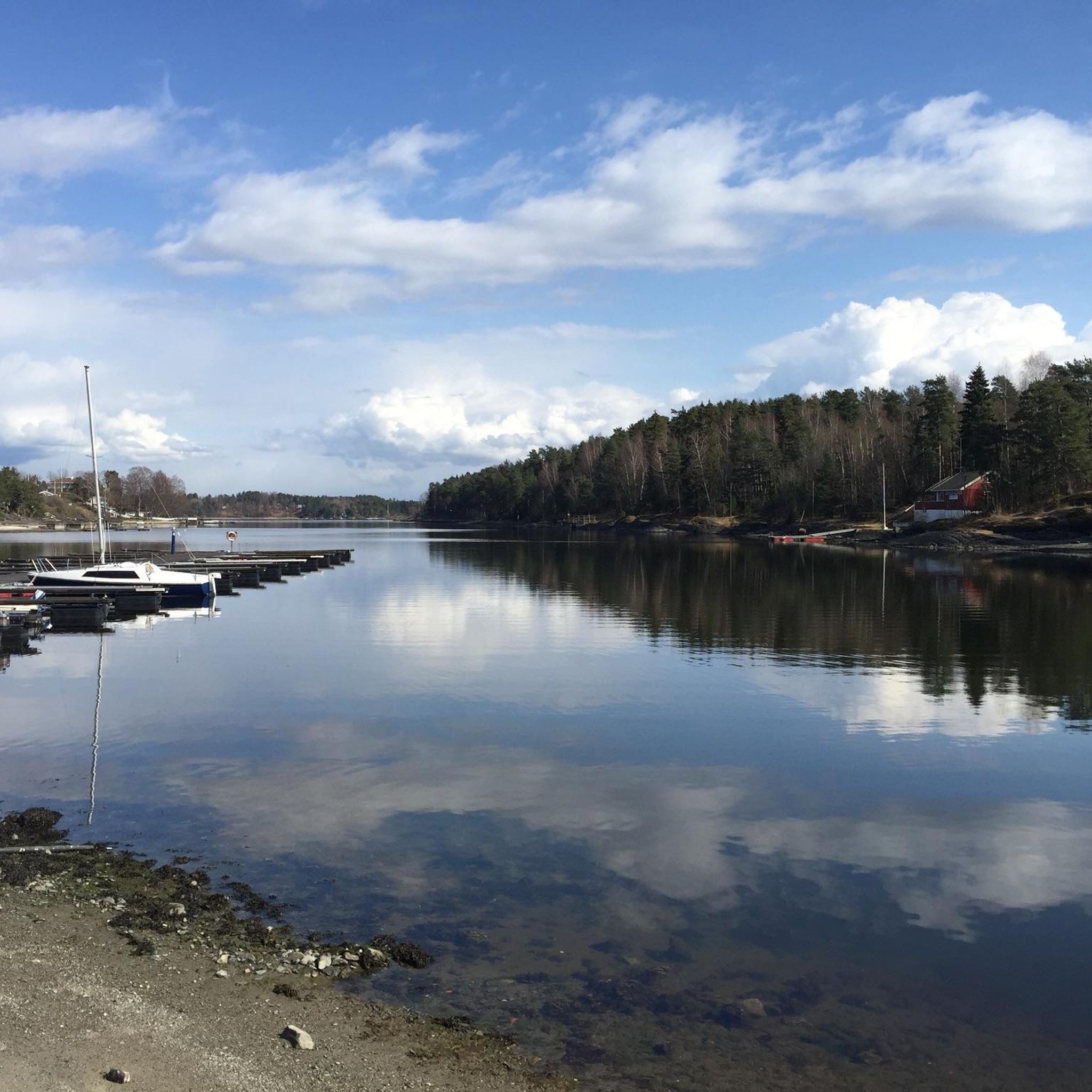
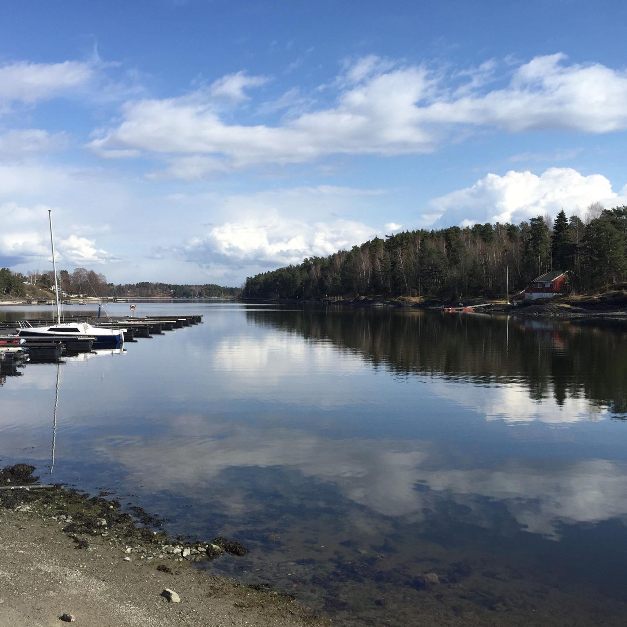
The Sandvika small boat harbor („Småbåtshavn“) is a marina used by local residents and visitors for mooring leisure boats and accessing the Oslofjord.
0
0

Beautifully crafted artwork. When you walk around it, it seems the sculpture does not really exist. Check it out yourself.
1
0
Frequently Asked Questions
What makes hiking around Nesøytjern a unique experience?
Nesøytjern is a remarkable nature reserve characterized by its highly calcareous water and bedrock, which supports a unique ecosystem. You'll find diverse forest types, including rare swamp forests and calciferous spruce and pine forests. This rich environment is home to over 60 red-listed species, offering a chance to observe rare plants, fungi, and wildlife in a tranquil lake setting.
How many hiking trails are available in the Nesøytjern area?
There are over 190 hiking trails and walks available around Nesøytjern, catering to various preferences and skill levels. This includes a good mix of easy, moderate, and some more challenging routes.
What are the different difficulty levels for hikes in Nesøytjern?
The trails around Nesøytjern offer a range of difficulties. You can find over 70 easy routes, more than 100 moderate paths, and around 20 difficult trails, ensuring options for every hiker.
Are there any easy or family-friendly hiking options around Nesøytjern?
Yes, there are plenty of easy and family-friendly options. For instance, the Waterfront View loop from Nesøya is an easy 4.1-mile (6.6 km) trail offering pleasant views. Another accessible choice is the Viernbukta naturreservat loop from Nesøya, which is 3.3 miles (5.4 km) and also considered easy.
What kind of terrain can I expect on the hiking trails?
The terrain varies, reflecting the diverse ecosystems of the reserve. You can expect to traverse through different forest types, including swamp forests and calciferous spruce and pine forests. Trails like Tjernveien are blue-marked and guide you through these varied vegetation zones, sometimes on dry, rocky slopes and other times through more lush, damp areas.
When is the best time to visit Nesøytjern for hiking?
The best time for hiking is generally outside of the restricted period from April 1st to December 1st, when access is limited to marked trails to protect vulnerable wildlife and plants. During winter, free movement within the reserve is permitted, offering a different, serene experience. Spring and autumn can be particularly beautiful with changing foliage and active wildlife.
Are there any seasonal restrictions or considerations for hiking in the nature reserve?
Yes, to protect vulnerable wildlife and plants, access outside of the designated blue-marked trails is restricted from April 1st to December 1st. During winter, however, free movement within the reserve is permitted. Always stay on marked trails during the restricted period to help preserve the delicate ecosystem.
Are dogs allowed on the hiking trails in Nesøytjern?
While the region is a nature reserve, specific rules regarding dogs can vary. It's generally advisable to keep dogs on a leash, especially during the breeding and nesting seasons (April 1st to December 1st), to protect wildlife. Always check local signage for the most current regulations regarding pets.
What do other hikers enjoy most about hiking in Nesøytjern?
The area is highly rated by the komoot community, with an average score of 4.6 stars from over 190 reviews. Hikers often praise the tranquil natural landscapes, the unique biodiversity, and the well-maintained marked trails that allow for an immersive experience in this special calcium-rich environment.
Are there any historical sites or points of interest to explore while hiking?
Yes, the area around Nesøytjern holds historical significance. You can find remnants of farm settlements dating back to the Iron Age. Nesøya Hovedgård (main farm) was once a powerful estate. Hiking through the reserve offers a sense of connection to this long history of human interaction with the landscape, alongside its natural beauty.
Is there public transport access to Nesøytjern for hikers?
While the guide doesn't specify direct public transport routes to the immediate trailhead, Nesøytjern is located in Asker municipality, which is generally well-connected. It's recommended to check local bus or train schedules to nearby areas like Nesøya or Slependen, from where you might find connecting routes or a short walk to the reserve.
Where can I find parking for hiking around Nesøytjern?
Specific parking locations are not detailed in the guide data. However, for popular hiking areas like Nesøytjern, there are usually designated parking spots near trailheads or access points. It's advisable to check local maps or community resources for the most convenient parking options before your visit.
Most popular routes around Nesøytjern

Get inspired with the komoot mobile app


Explore more
Browse the best Hikes in other regions.
