The best mountain hikes around Svartediket
5.0
(1)
5
hikers
3
hikes
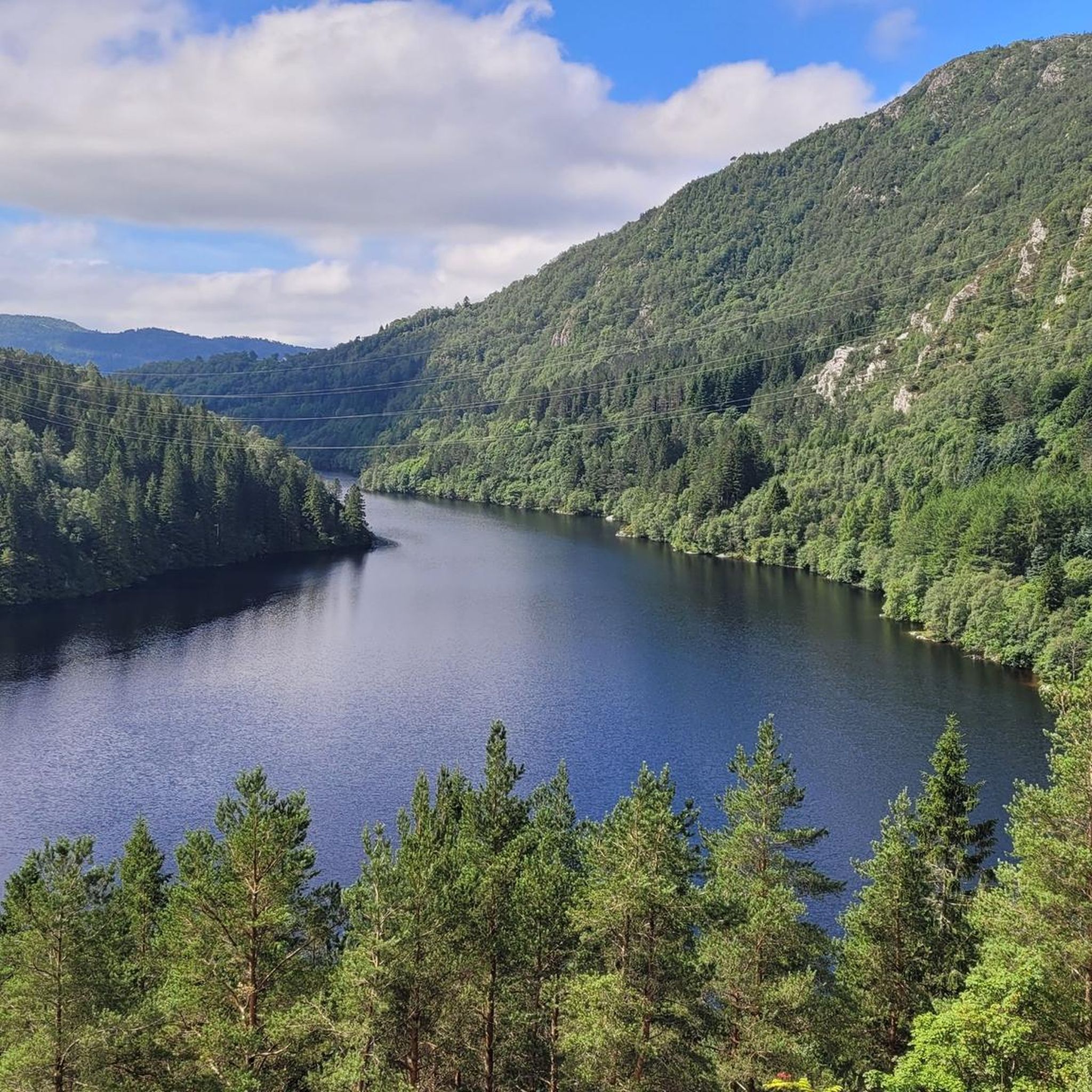
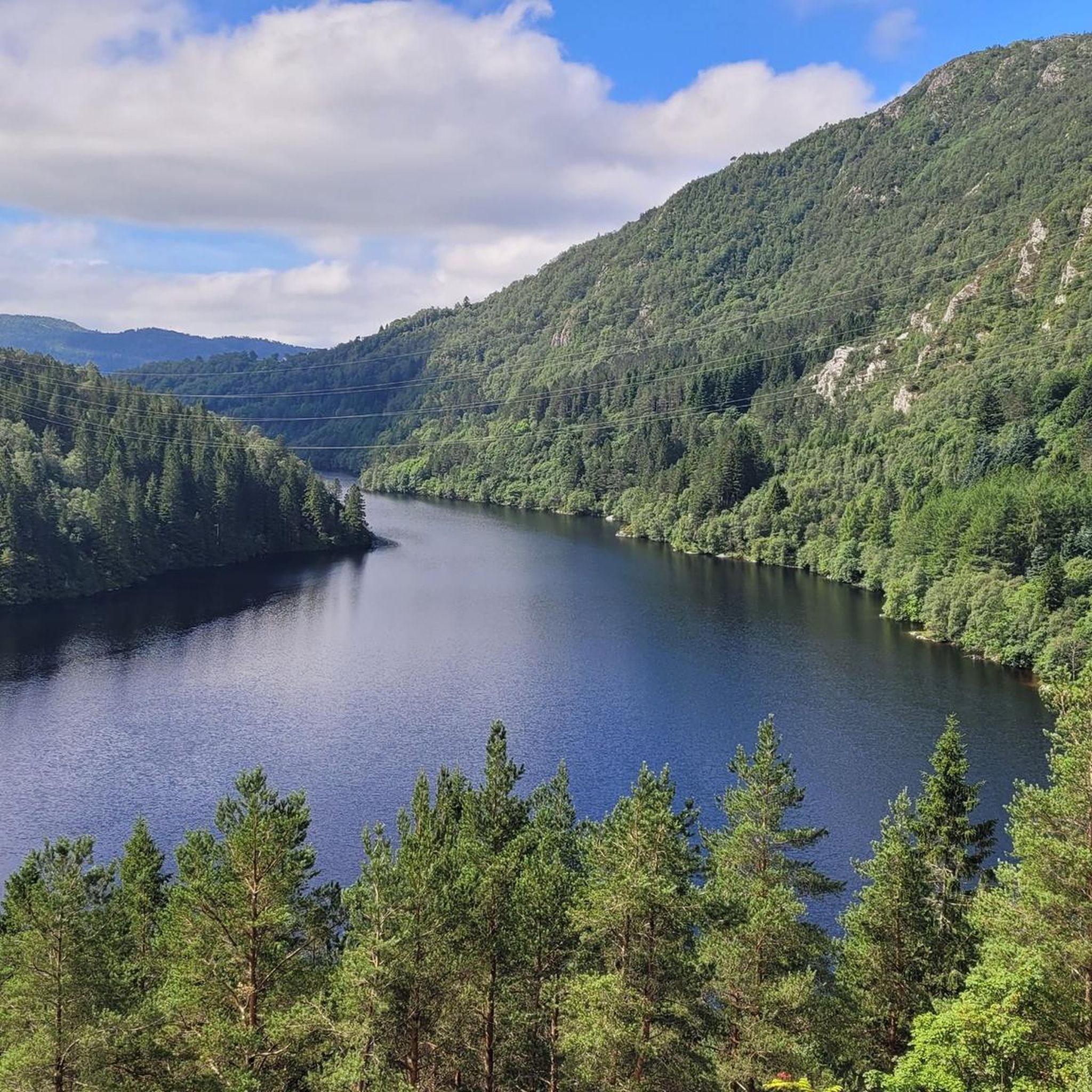
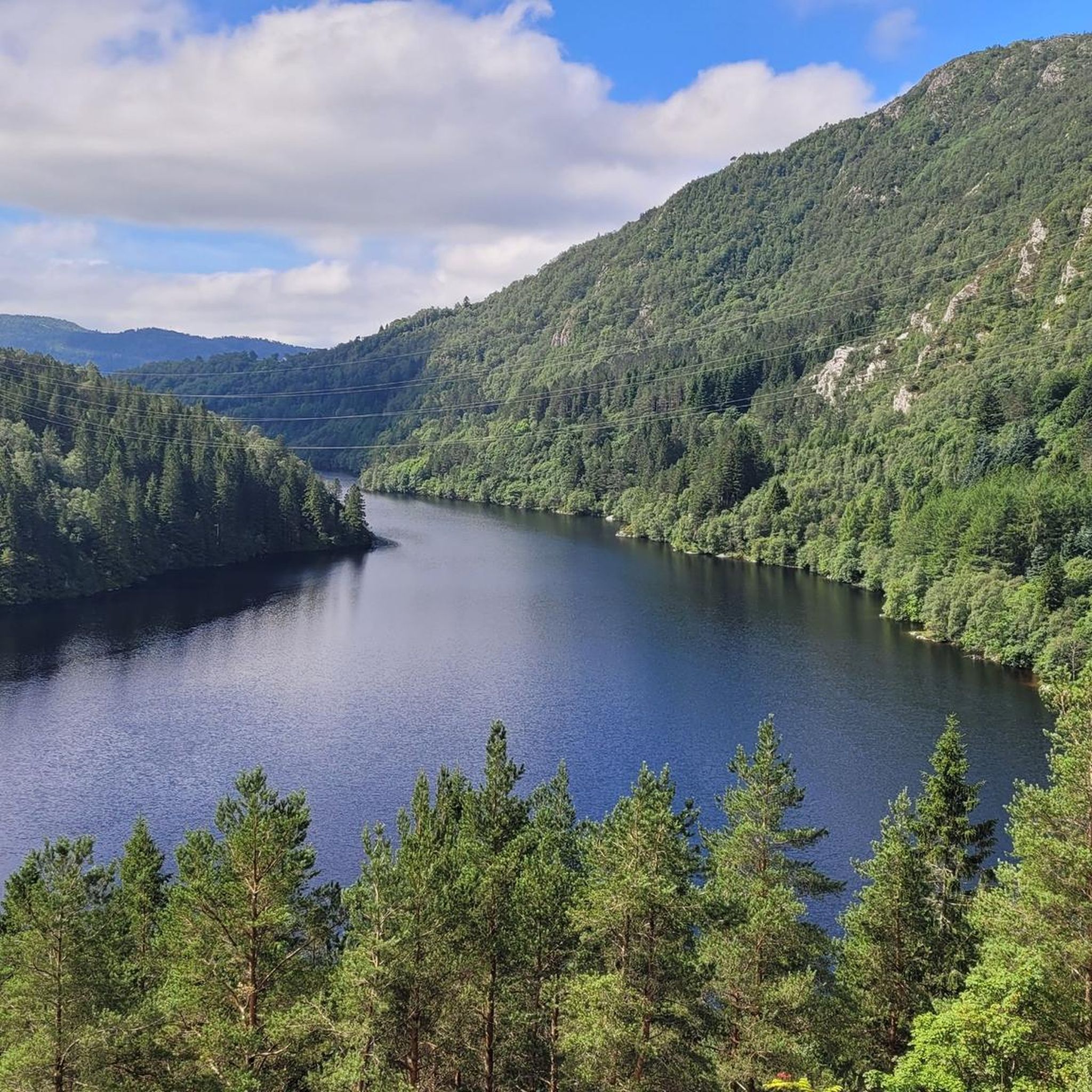
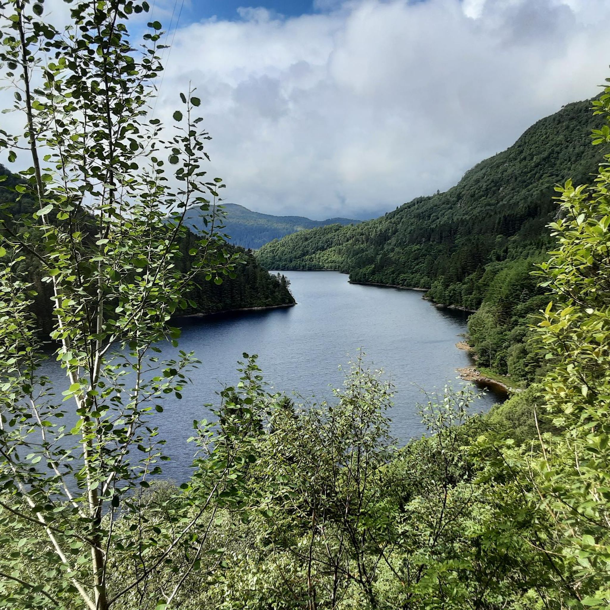
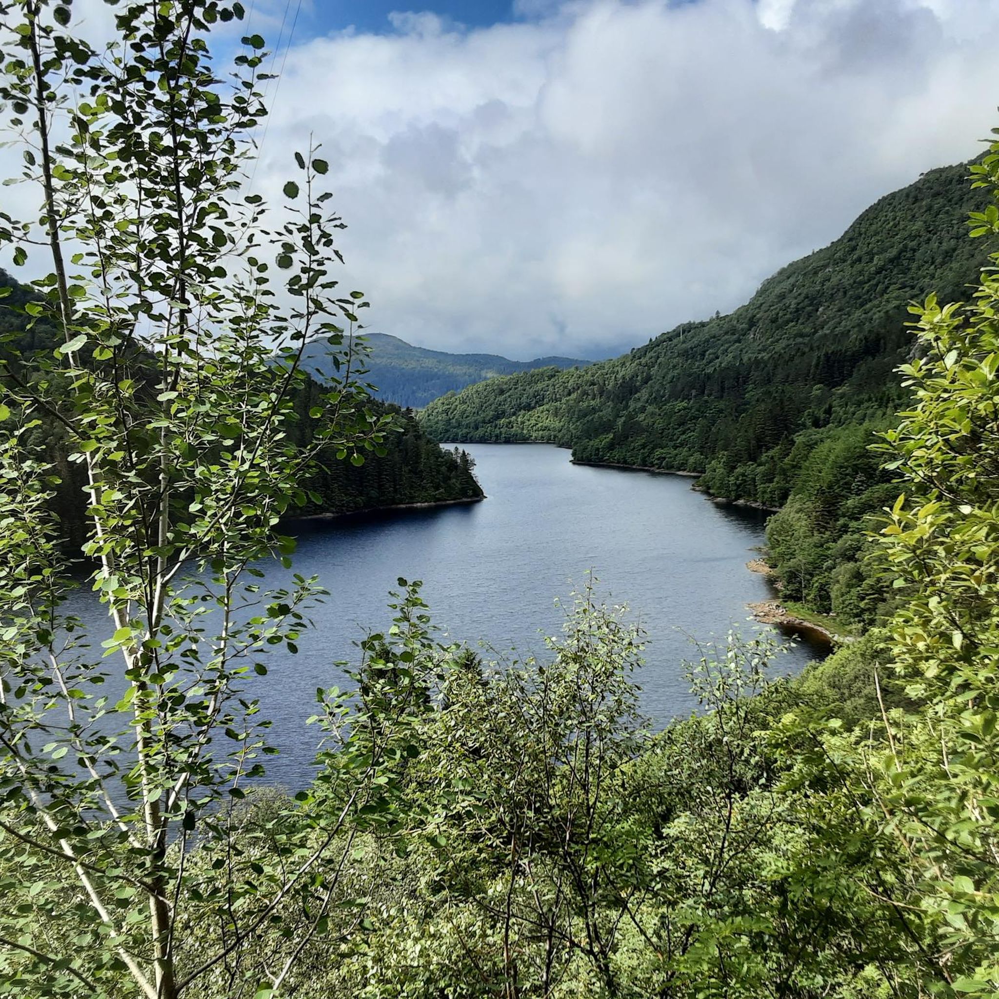
Mountaineering routes around Svartediket are set amidst dense forests and the mountains surrounding Bergen, offering challenging ascents. The region is characterized by Svartediket Lake, a tranquil starting point for adventures into the natural landscape. Trails provide access to notable peaks like Ulriken, with routes ranging from well-maintained paths to rugged ascents requiring alpine experience. The terrain includes varied mountain slopes, forests, and open areas with panoramic views.
Best mountaineering routes around Svartediket
- The most popular mountaineering route is Oppstemten Stairs…
Last updated: June 26, 2026
2
hikers
Moderate mountaineering route. Good fitness required. Mostly accessible paths. Sure-footedness required.
1
hikers
11.8km
04:59
680m
680m
Moderate mountaineering route. Good fitness required. Mostly accessible paths. Sure-footedness required.

Sign up for free
5.0
(1)
2
hikers
15.0km
06:04
740m
740m
Hard mountaineering route. Very good fitness required. Mostly accessible paths. Sure-footedness required.
Our route recommendations are based on thousands of hikes, rides, and runs completed by other people on komoot.
Start today with a free account
Your next adventure awaits.
Login or Signup
Tips from the Community


Unfortunately no swimming areas, but a nice shady path around it.
0
0

An enchanting view of Bergen and the surrounding area.
0
0
Beautiful climb and surroundings. Magnificent view when there is no cloud.
1
0

Altitude 643 m Location: Vestland Province, Norway It is the highest of the seven mountains surrounding the center of Bergen. There are radio and telecommunications masts on the mountain. There is also a restaurant. You can reach the top on foot or by cable car. A beautiful hike.
1
0
You can get to the top by cable car or on foot. It's a bit strenuous to walk (1333) stairs to the top. Bus and cable car ticket there and back costs around €50
0
0

From the summit of Ulriken, you can enjoy a breathtaking 360° panoramic view of Bergen, the surrounding fjords, and the rugged mountains of the Norwegian coast. On a clear day, the view extends far out to sea, while the city lies picturesquely nestled far below. Whether after a strenuous hike up the Sherpa Stairs or a relaxing ride on the Ulriksbanen cable car, the view from the highest of the seven mountains is an absolute highlight and rewards every visitor with unforgettable impressions.
4
0

Nice top with enough space for a break, even if some of the cable-car people make it over to the top.
3
1
Frequently Asked Questions
What level of experience is required for mountaineering in Svartediket?
The Svartediket area offers a range of mountaineering experiences. While some paths are well-maintained, many routes, especially those leading to peaks like Ulriken, are considered difficult and require sure-footedness and alpine experience. For example, the Oppstemten Stairs to Ulriken loop from Haukeland sjukehus is a challenging route with significant elevation gain.
Are there any moderate mountaineering routes in Svartediket?
Yes, there is at least one moderate mountaineering route available. The Mountain Lakes near Bergen – Ulriken Summit loop from Haukeland sjukehus is a moderate 4.9-mile (7.9 km) path that explores mountain lakes and offers views towards the Ulriken summit, taking approximately 3 hours 40 minutes to complete.
How long do the mountaineering routes in Svartediket typically take?
The duration of mountaineering routes in Svartediket varies depending on the trail and your pace. For instance, the moderate Mountain Lakes near Bergen – Ulriken Summit loop from Haukeland sjukehus takes about 3 hours 40 minutes. More challenging routes like the Ulriken Summit loop from Fløen can take around 5 hours 3 minutes, while the longest route, Markskiltjørna – Tjønane loop from Osavatnet, typically requires over 6 hours.
Can I reach Mount Ulriken from the Svartediket area?
Yes, Svartediket serves as a gateway to Mount Ulriken. Several routes lead towards or directly to the Ulriken summit, offering panoramic views of Bergen. You can take routes like the Oppstemten Stairs to Ulriken loop from Haukeland sjukehus or the Ulriken Summit loop from Fløen to experience this iconic peak.
Are there any circular mountaineering routes in Svartediket?
Yes, several mountaineering routes in Svartediket are designed as loops, allowing you to start and end at the same point. Examples include the challenging Oppstemten Stairs to Ulriken loop from Haukeland sjukehus, the moderate Mountain Lakes near Bergen – Ulriken Summit loop from Haukeland sjukehus, and the longer Markskiltjørna – Tjønane loop from Osavatnet.
What kind of natural features can I expect to see along the mountaineering routes?
The Svartediket area is rich in natural beauty. You'll encounter dense forests, varied mountain terrain, and scenic views of the Svartediket Lake itself. Some paths feature small waterfalls, and you might catch glimpses of the Gullfjellet Massif. The river Tarlebøelva in Ulriksdalen Valley also adds to the picturesque scenery.
What do other mountaineers say about the routes in Svartediket?
The mountaineering routes in Svartediket are highly regarded by the komoot community, holding an average rating of 4.8 out of 5 stars from 3 reviews. More than 10 mountaineers have used komoot to explore the varied terrain, often praising the challenging ascents and the stunning natural surroundings.
Is Svartediket suitable for winter mountaineering?
While the region offers challenging hikes, winter conditions can significantly increase the difficulty and risks. The presence of routes corresponding to SAC difficulty levels 1 through 4–6 suggests that some trails require alpine experience. For winter mountaineering, it's crucial to have appropriate gear, experience, and to check local conditions and avalanche warnings before heading out.
Are there any specific landmarks or viewpoints along the routes?
The primary landmarks are the Svartediket Lake itself, which serves as a tranquil starting point, and the surrounding mountains, particularly Ulriken. Ascending Ulriken offers panoramic views of Bergen and the surrounding landscape. The Vidden plateau, accessible via routes like the Svartediket and Vidden Loop, also provides extensive vistas.
How many mountaineering routes are available in Svartediket?
There are at least 4 distinct mountaineering routes detailed for the Svartediket area, ranging from moderate to difficult. These routes provide diverse options for exploring the region's challenging terrain and scenic beauty.
Are there options for longer, more strenuous mountaineering trips?
Yes, for those seeking a more strenuous experience, routes like the Markskiltjørna – Tjønane loop from Osavatnet cover nearly 15 kilometers (9.3 miles) with significant elevation gain, typically requiring over 6 hours to complete. This route offers a demanding challenge for experienced mountaineers.
Most popular routes around Svartediket

Get inspired with the komoot mobile app


Explore more
Browse the best Mountain Hikes & Routes in other regions.
