The best MTB trails in Toa Baja Municipio
4.5
(5)
107
riders
8
rides
Mountain biking in Toa Baja Municipio offers diverse landscapes within Puerto Rico's Northern Coastal Plains and Karst zone. The terrain features alluvial deposits, clay-like surfaces, and unique rock formations in the southern karst areas. Northern parts include mangroves and marshes, while major rivers like the Río de la Plata flow through the region, providing varied environments for mountain bike trails. Elevations range from 200 to 490 feet above sea level.
Best mountain bike trails in Toa Baja Municipio
- The most…
Last updated: October 16, 2026
4.0
(4)
34
riders
7.13km
00:37
70m
70m
Hard mountain bike ride. Great for any fitness level. Advanced riding skills necessary. Some portions of the route may require you to push your bike.
11
riders
51.3km
02:43
140m
140m
Moderate mountain bike ride. Good fitness required. Suitable for all skill levels.

9
riders
37.8km
01:52
60m
60m
Easy mountain bike ride. Great for any fitness level. Suitable for all skill levels.
6
riders
44.2km
02:26
160m
160m
Moderate mountain bike ride. Good fitness required. Advanced riding skills necessary.
5.0
(1)
35
riders
24.8km
01:25
150m
150m
Easy mountain bike ride. Great for any fitness level. Suitable for all skill levels.
5
riders
59.1km
03:01
180m
190m
Moderate mountain bike ride. Good fitness required. Suitable for all skill levels.
Get access to more routes and recommendations from other explorers.
Already have an account?
Our route recommendations are based on thousands of hikes, rides, and runs completed by other people on komoot.
Start today with a free account
Your next adventure awaits.

Tips from the Community

You can road all the way from Cataño county or you can drive until Punta Salinas beach and ride from there. If you came from west, you can drive trough Dorado county. The reference is allways the 165 road number. This sections is closed on Sunday mornings to cars and open exclusive to bicycle riders or pedestrians. On vacations days, the county dons't closes to cars on sundays. You can drive this road any day, even the hurricane one, but unless your own risk.
0
0
You can walk at any time, but it is much better to arrive before 9 am.
1
0


Area to practice recreational fishing, kayaking or MTB. It has gazebos for lunch, but they are pretty unworthy so use them at your own risk.
0
0

The lagoon covers an area of approximately 2.43 km2 and contains a total volume of water of 708 million gallons. It is made up of two segments: Laguna Tortuguero, which includes the northeastern swamp known as Cabo Caribe, and Laguna Rica. Its prevailing depth is between four to five feet. The most important hydrological consideration is the relationship between the Lagoon and its main water sources; groundwater from aquifers and water that runs through surface river discharges during rains.
0
0
Walk that runs along the coastline. It is in terrible condition for much of the journey. There is a lot of glass on the path and on the planked part there are several sections that are on the verge of collapse. The road runs through part of the Piñones State Forest and passes through several scenic spots, including the old viewpoint that Hurricane María took away.
0
0
Excellent views along the north wall of Old San Juan. El Morro is in the extreme west.
0
0
Frequently Asked Questions
How many mountain bike trails are available in Toa Baja Municipio?
Toa Baja Municipio offers a selection of 10 mountain bike trails, catering to various skill levels. These routes are highly rated by the komoot community, with an average score of 5.0 stars.
Are there mountain bike trails suitable for beginners or families in Toa Baja Municipio?
Yes, Toa Baja Municipio has several easy mountain bike trails perfect for beginners or family outings. An excellent option is the Playa Ultimo Trolley – Playa Peña loop from Tras Talleres, an easy 17.8-mile path offering coastal views and flat sections. Another easy route is the Paseo Lineal Río Bayamón loop from Deportivo, which is 10.6 miles long and follows riverine landscapes.
What kind of terrain can I expect on mountain bike trails in Toa Baja Municipio?
The terrain in Toa Baja Municipio is quite varied, reflecting its location within Puerto Rico's Northern Coastal Plains and Karst zone. You'll encounter alluvial deposits and clay-like surfaces, unique rock formations in the southern karst areas, and northern sections with mangroves and marshes. Major rivers like the Río de la Plata also contribute to diverse environments along the trails.
Are there any challenging mountain bike trails for experienced riders?
Yes, experienced riders looking for a challenge can explore routes like the Mountainbike loop from Bayamón. This difficult 7.0-mile trail features varied terrain and significant elevation changes, providing a demanding ride.
Are there mountain bike trails with scenic views or landmarks in Toa Baja Municipio?
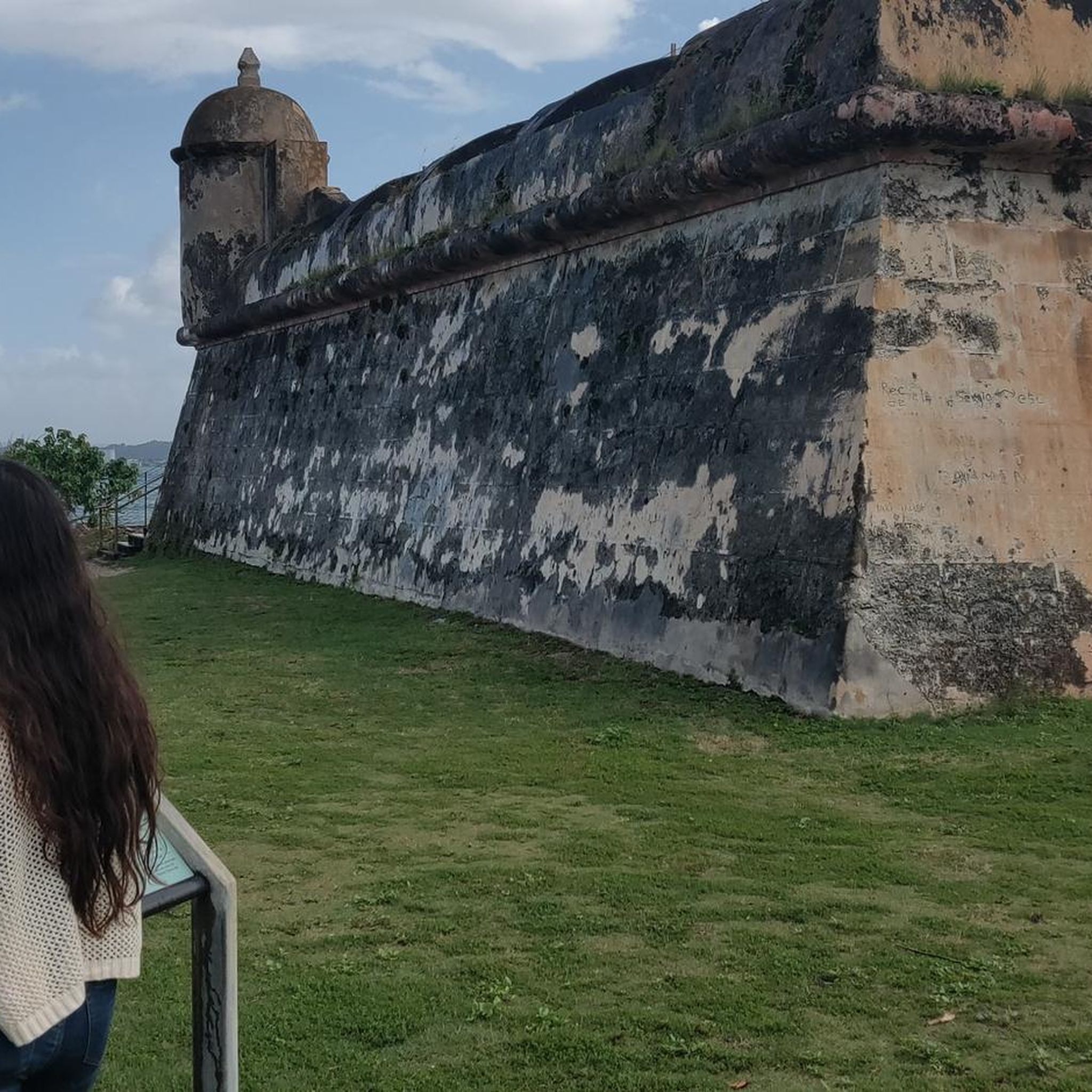
Many trails offer scenic views, particularly those along the coast or rivers. The Playa Ultimo Trolley – Playa Peña loop provides beautiful coastal vistas. While not directly on a trail, nearby attractions like Isla de Cabras (Goat Island) with Fortín San Juan de la Cruz offer stunning views of Old San Juan and the Atlantic Ocean, and the Palo Seco Lighthouse also provides scenic Atlantic views.
What is the best time of year for mountain biking in Toa Baja Municipio?
Puerto Rico generally has a tropical climate. The drier season, typically from December to April, is often considered the most comfortable for outdoor activities like mountain biking, as it offers cooler temperatures and less humidity. However, trails are accessible year-round.
Are there any loop mountain bike trails in the area?
Yes, several routes in Toa Baja Municipio are designed as loops. Examples include the Toa Baja Bay loop from Levittown, an easy 17.8-mile ride, and the Ciudad amurallada – Condado Beach loop from Isleta de San Juan, a moderate 32.9-mile option.
What do other mountain bikers enjoy most about mountain biking in Toa Baja Municipio?
The komoot community highly rates the mountain biking experience in Toa Baja Municipio, with an average score of 5.0 stars from 6 reviews. Riders often praise the diverse landscapes, which include coastal paths, river systems, and unique karst formations, offering a variety of environments for exploration.
Are there any mountain bike trails that pass through or near beaches?
Yes, you can find trails that offer access to or views of the coast. The Playa Ultimo Trolley – Playa Peña loop is a great example, providing coastal views. Balneario Punta Salinas is a popular beach in Toa Baja known for its golden sands and calm waters, which could be a pleasant stop near some routes.
Are there any trails that follow river systems?
Absolutely. The Paseo Lineal Río Bayamón loop from Deportivo is a 10.6-mile trail that leads through scenic riverine landscapes. The Río de la Plata, Puerto Rico's longest river, also flows through the eastern part of Toa Baja, contributing to the area's natural beauty.
Are there any mountain biking opportunities near the Levittown area of Toa Baja?
Yes, the Levittown area within Toa Baja offers specific mountain biking opportunities. The Toa Baja Bay loop from Levittown is an easy 17.8-mile route that starts from this community. Additionally, E-Move in Levittown provides a network of forested trails with gentle elevation gains, suitable for various skill levels.
Most popular routes in Toa Baja Municipio

Get inspired with the komoot mobile app


Explore more
Browse the best MTB trails in other regions.
