The best road cycling routes in Wasco County
5.0
(13)
709
riders
11
rides
Road cycling in Wasco County, Oregon, offers diverse terrain across the Columbia River Gorge, high desert plateaus, and forested mountain slopes. The region features routes with significant elevation changes along winding roads and more level paths beside the Columbia and Deschutes rivers. Cyclists can experience open, expansive views across plateaus and through river valleys. This varied landscape provides a range of road cycling experiences.
Best road cycling routes in Wasco County
- The most popular road cycling route is Sherar's Falls Scenic Bikeway Loop, a 33.4 miles (53.7 km) trail that takes 2 hours 56 minutes to complete. This route features varied terrain with an elevation gain of over 2,000 feet.
- Another top favourite among local road cyclists is Old Highway 8 Loop, a moderate 51.5 miles (82.9 km) path. This route offers a mix of open roads and scenic views, with an elevation gain of over 2,300 feet.
- Local road cyclists also love the Tooley Lake viewpoint – Rowena Crest loop from The Dalles, a 26.7 miles (43.0 km) trail leading through river gorge landscapes, often completed in about 2 hours 15 minutes.
- Road cycling in Wasco County is defined by dramatic river gorges, high desert vistas, and forested mountain slopes. The network offers options for easy, moderate, and difficult routes, catering to various ability levels.
- The routes in Wasco County are highly rated by the komoot community with an average score of 5.0 stars from over 10 reviews. More than 500 road cyclists have used komoot to explore Wasco County's varied terrain.
Last updated: October 11, 2026
24
riders
46.4km
02:42
940m
940m
Hard road ride. Very good fitness required. Mostly well-paved surfaces and easy to ride.
5.0
(2)
22
riders
53.7km
02:56
620m
630m
Moderate road ride. Good fitness required. Mostly well-paved surfaces and easy to ride.

82.9km
03:04
710m
710m
Moderate road ride. Good fitness required. Mostly well-paved surfaces and easy to ride.
5.0
(1)
83
riders
73.2km
03:59
1,140m
1,140m
Hard road ride. Very good fitness required. Some segments of this route may be unpaved and difficult to ride.
14
riders
91.1km
05:33
1,890m
1,890m
Hard road ride. Very good fitness required. Some segments of this route may be unpaved and difficult to ride.
11
riders
22.0km
01:16
330m
330m
Moderate road ride. Good fitness required. Mostly well-paved surfaces and easy to ride.
9
riders
57.1km
02:32
590m
590m
Moderate road ride. Good fitness required. Mostly well-paved surfaces and easy to ride.
9
riders
21.0km
01:06
110m
110m
Easy road ride. Great for any fitness level. Mostly well-paved surfaces and easy to ride.
6
riders
30.0km
01:20
280m
280m
Easy road ride. Great for any fitness level. Mostly well-paved surfaces and easy to ride.
7
riders
40.4km
01:48
430m
430m
Moderate road ride. Good fitness required. Mostly well-paved surfaces and easy to ride.
Our route recommendations are based on thousands of hikes, rides, and runs completed by other people on komoot.
Start today with a free account
Your next adventure awaits.
Tips from the Community

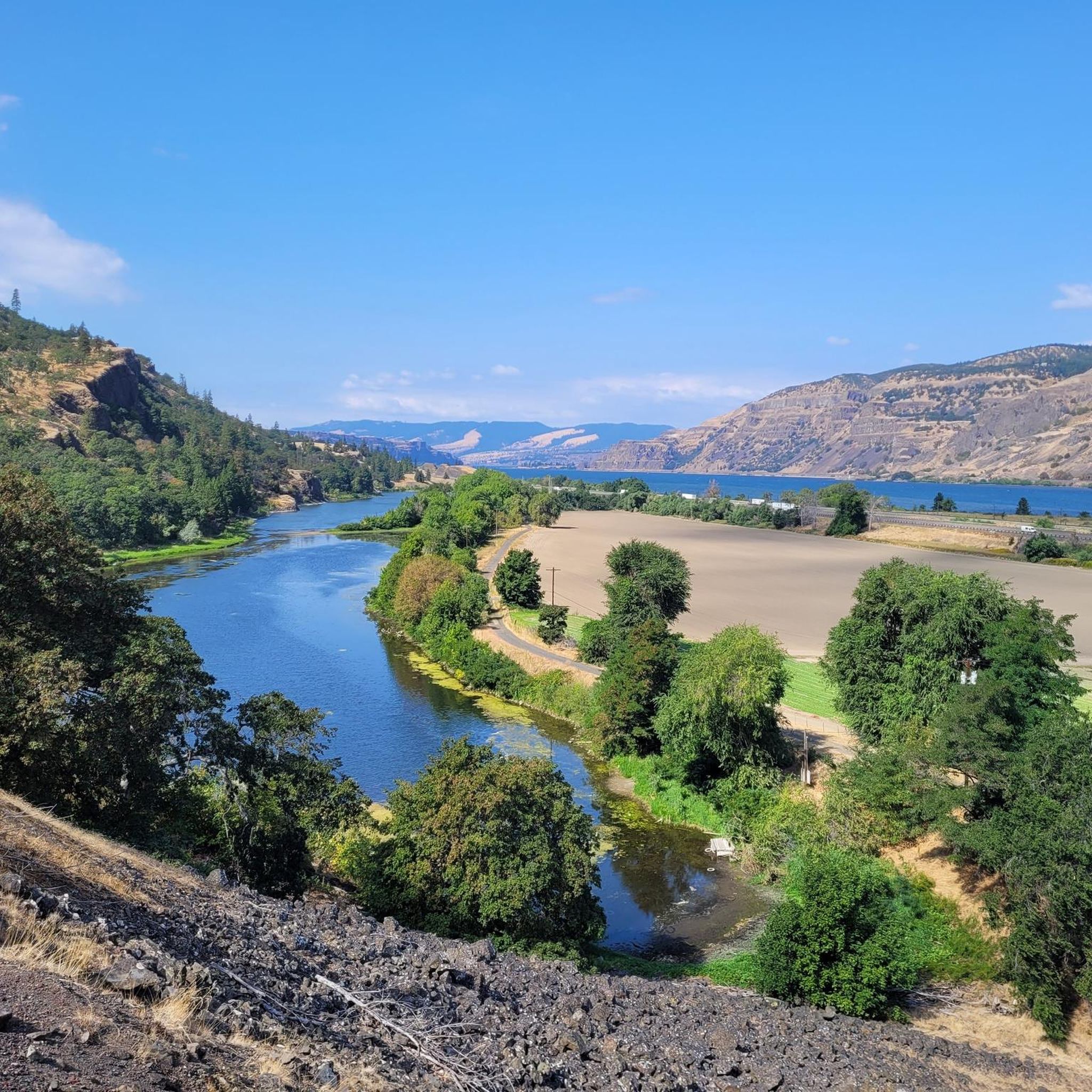
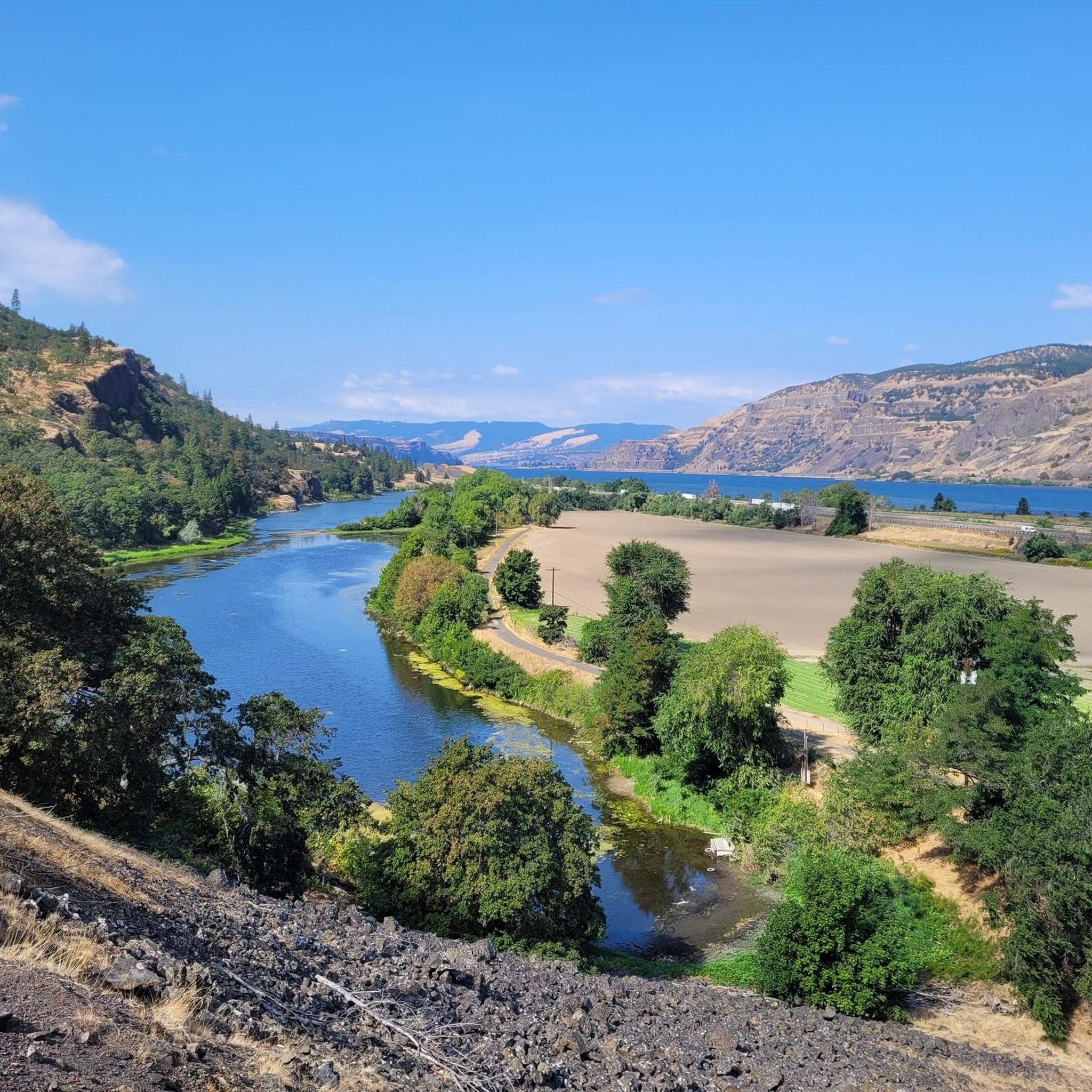
Mosier is a charming small town along the beautiful Columbia River, surrounded by stunning basalt cliffs. There are lovely restaurants, a cozy coffee shop and a small local market.
0
0

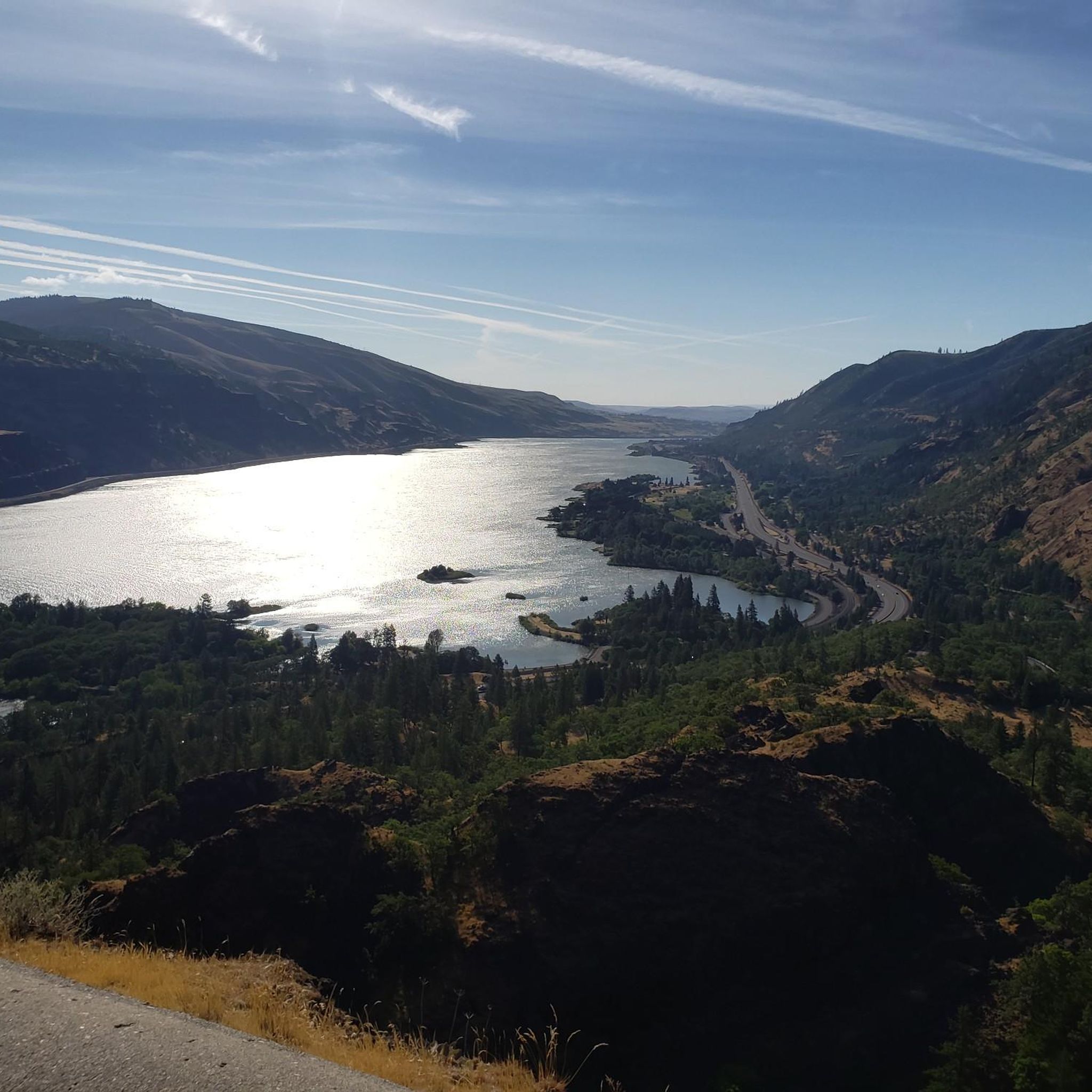
About 50 feet off the highway, the pavement takes riders to an overlook of the Memaloose Hills, called the Memaloose Lookout. Memaloose Overlook has a viewpoint of Memaloose Island and is a great photo opportunity, especially on a clear day.
0
0
The Dalles Bridge is easy to ride across. Before the bridge was built, as early as 1854, there was a ferry service going over the Colombia River. 10 years later, bridge planning began. It did take another 85 years after the planning began for the Dalles Bridge to finally finish its construction.
0
0
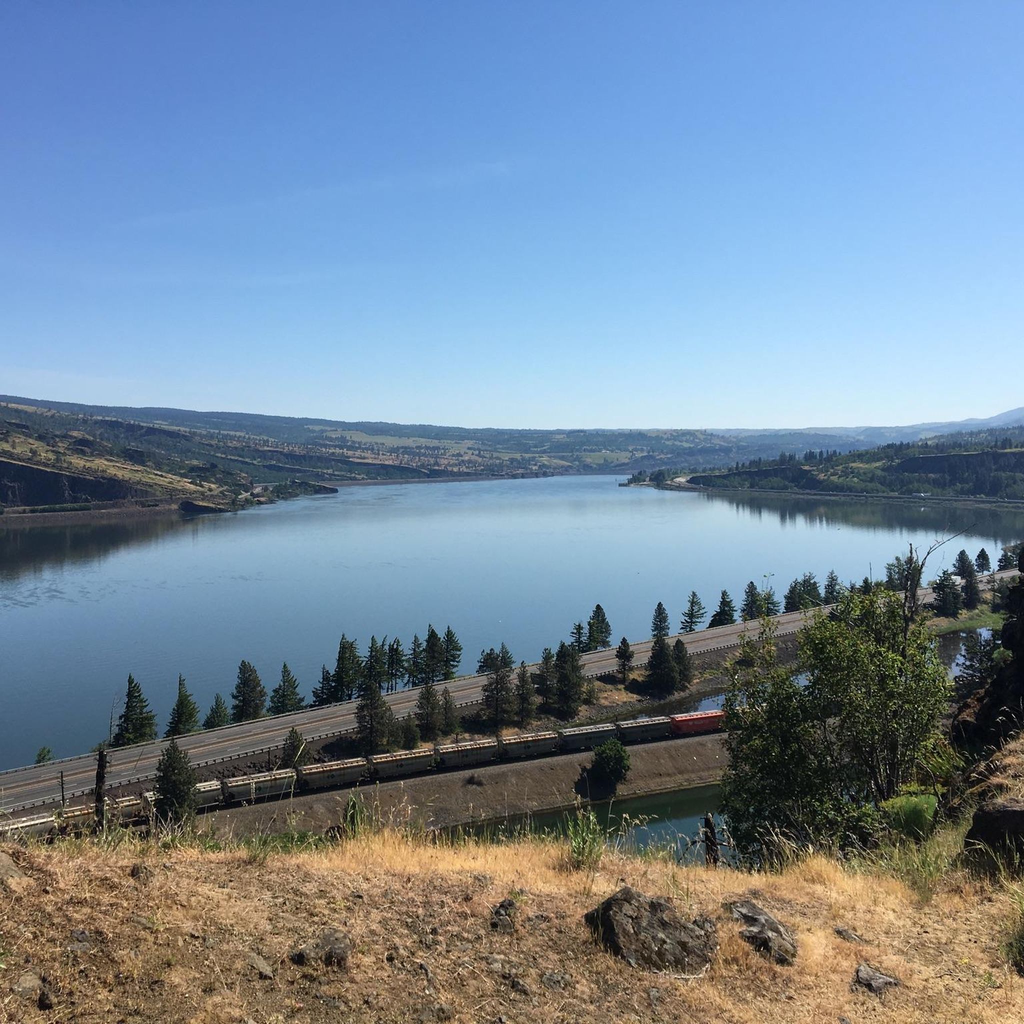
Heading east from the town of Hood River on the Historic Colombia River Highway State Trail, climb up the horseshoe-shaped switchbacks and arrive at a nice, elevated viewpoint of the Colombia River. Enjoy the rewarding view that you earned!
0
0
Mount Hood Railroad Train and Station is a short-line railroad scenic railroad with an old-timey feel. The train goes through iconic areas of northern Oregon and runs from Portland to the gorge. It's a great way to grab photos of the area and enjoy the holiday themes they put on.
0
0
Mosier is named after Jonah H. Mosier, who settled the area around 1821. Today, it is best known for apple, cherry, and prune production, and the town is only about 400 acres in size.
0
0
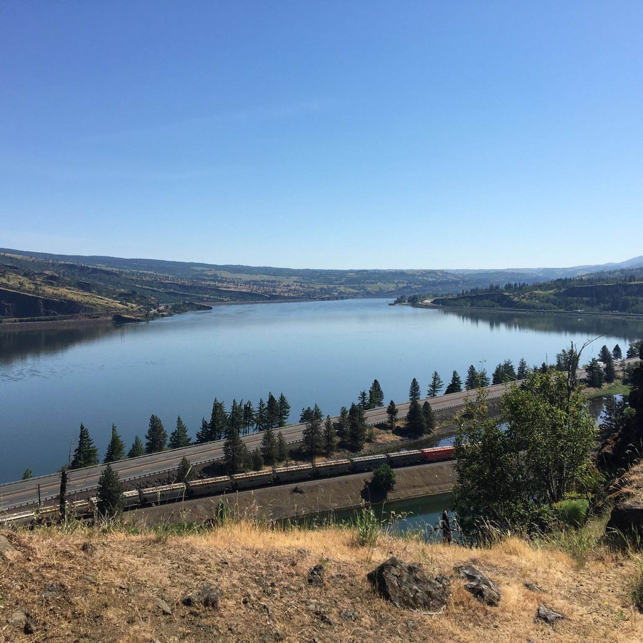
Look northward toward the Colombia River Gorge to see a separate lake called Tooley Lake sandwiched between the highway and the Colombia River. Tule Lake is fed by the Lost River, and at an elevation of 4,035 feet, this lake is popular for fishing.
0
0
Walk or bike through tunnels built for the original Columbia River Highway. These unique tunnels have windows and are a car-free section of the Historic Columbia River Highway State Trail. This area is great for bikers and walkers alike.
0
0
Frequently Asked Questions
What kind of terrain can I expect on road cycling routes in Wasco County?
Wasco County offers a diverse range of terrain for road cycling. You'll find routes with significant elevation changes along winding roads in the Columbia River Gorge, more level paths beside the Columbia and Deschutes rivers, and expansive views across high desert plateaus. The region also features forested mountain slopes, providing varied scenic experiences.
Are there easy road cycling routes suitable for beginners in Wasco County?
Yes, Wasco County has routes suitable for beginners. For instance, the Taylor Lake loop from The Dalles is an easy 12.8-mile (20.6 km) route with minimal elevation gain, perfect for a relaxed ride.
What are some challenging road cycling routes in Wasco County?
For experienced cyclists seeking a challenge, Wasco County offers several difficult routes. The Moiser to Mt. Ulka Preserve loop is a difficult 28.8-mile (46.4 km) route with over 3,000 feet of elevation gain. Another challenging option is the Memaloose Lookout – Twin Tunnels Trail loop from Chenowith, covering 46.9 miles (75.4 km) with significant climbing.
What natural features and landmarks can I see while road cycling in Wasco County?
Road cycling in Wasco County offers stunning views of the Columbia River Gorge, high desert plateaus, and forested areas. Notable landmarks and natural features include the iconic Rowena Crest with its winding roads and panoramic vistas, and the Twin Tunnels Segment of the Historic Columbia River Highway State Trail. You might also encounter areas like the Tom McCall Preserve summit, known for its wildflowers.
Are there specific viewpoints worth visiting on a road bike in Wasco County?
Absolutely. The region is rich with scenic viewpoints. Rowena Crest is a must-visit for its iconic views of the Columbia River Gorge. Another excellent spot is Memaloose Lookout, offering expansive panoramas. You can also find great views from Chatfield Hill.
What do other road cyclists enjoy the most about road cycling in Wasco County?
The road cycling routes in Wasco County are highly rated by the komoot community, with an average score of 5.0 stars from over 10 reviews. Cyclists often praise the dramatic river gorges, high desert vistas, and the variety of terrain that caters to different ability levels, from easy riverside paths to challenging climbs.
Are there any loop routes available for road cycling in Wasco County?
Yes, many road cycling routes in Wasco County are designed as loops, allowing you to start and end at the same point. Examples include the popular Sherar's Falls Scenic Bikeway Loop and the Old Highway 8 Loop, both offering diverse scenery.
What is the best time of year to go road cycling in Wasco County?
The spring and fall seasons are generally ideal for road cycling in Wasco County. Spring brings vibrant wildflowers, especially around areas like the Tom McCall Preserve. Fall offers pleasant temperatures and beautiful foliage. While summer can be warm, the riverfront paths often provide cooler options. Winter can bring snow and ice, particularly at higher elevations.
Are there family-friendly road cycling options in Wasco County?
For families looking for easier, paved routes, the Historic Columbia River Highway State Trail, including segments like the Twin Tunnels, offers a car-free experience with continuous views. While specific family-designated routes are not listed, easier loops with less elevation, such as the Taylor Lake loop from The Dalles, can be suitable.
Where can I find parking for road cycling routes in Wasco County?
Parking availability varies by route. Many trailheads and popular starting points, especially along the Historic Columbia River Highway State Trail or near towns like The Dalles and Mosier, offer designated parking areas. It's advisable to check specific route details or local visitor information for the most convenient parking for your chosen ride.
Can I access road cycling routes in Wasco County using public transportation?
While Wasco County has some public transportation options, direct access to all road cycling trailheads via public transport might be limited. The Dalles serves as a regional hub, and some routes may be accessible from there. For specific routes, especially those in more rural areas, personal vehicle transport to a starting point is often the most practical option.
Are there any routes that offer views of the Columbia River?
Many routes in Wasco County provide stunning views of the Columbia River. The Historic Columbia River Highway State Trail is a prime example, offering continuous river views. Routes originating from The Dalles or Mosier, such as the Tooley Lake viewpoint – Rowena Crest loop from The Dalles, also traverse river gorge landscapes with excellent vistas.
Most popular routes in Wasco County
Most popular attractions in Wasco County

Get inspired with the komoot mobile app


Didn’t find what you were looking for?
Check out more Road cycling routes throughout Wasco County below and find the perfect route in your destination.
Explore more
Browse the best Road cycling routes in other regions.
