The best walks and hikes around Westeinder Plassen
4.3
(3106)
21,673
hikers
799
hikes
Hiking around Westeinder Plassen offers trails through a distinctive landscape of interconnected lakes, waterways, and grassy islands in North Holland. The terrain is predominantly flat, characterized by expansive polder landscapes and meadows. Hikers will encounter scenic views of the shimmering waters and lush greenery, with minimal elevation changes. The area is part of a larger lake district, providing a unique environment for outdoor exploration.
Best hiking trails around Westeinder Plassen
- The most popular hiking route is Water tower – Lake…
Last updated: August 18, 2026
3.8
(12)
67
hikers
5.69km
01:26
10m
10m
Easy hike. Great for any fitness level. Easily-accessible paths. Suitable for all skill levels.
4.4
(7)
54
hikers
Easy hike. Great for any fitness level. Easily-accessible paths. Suitable for all skill levels.

Sign up for free
4.2
(16)
31
hikers
14.5km
03:40
20m
20m
Moderate hike. Good fitness required. Easily-accessible paths. Suitable for all skill levels.
5.0
(3)
44
hikers
4.80km
01:13
10m
10m
Easy hike. Great for any fitness level. Easily-accessible paths. Suitable for all skill levels.
21
hikers
7.81km
01:58
10m
10m
Easy hike. Great for any fitness level. Easily-accessible paths. Suitable for all skill levels.
Get access to more routes and recommendations from other explorers.
Sign up for free
Already have an account?
Our route recommendations are based on thousands of hikes, rides, and runs completed by other people on komoot.
Start today with a free account
Your next adventure awaits.
Login or Signup
Tips from the Community

Beautiful paintings
0
0

This striking bridge over the Amstel River, the Vrouwenakker Bridge, was built in 2008. Its shape is quite remarkable; the top of the bridge suspiciously resembles the limbs of a praying mantis. The bridge connects the village of De Kwakel with the hamlet of Vrouwenakker.
0
0

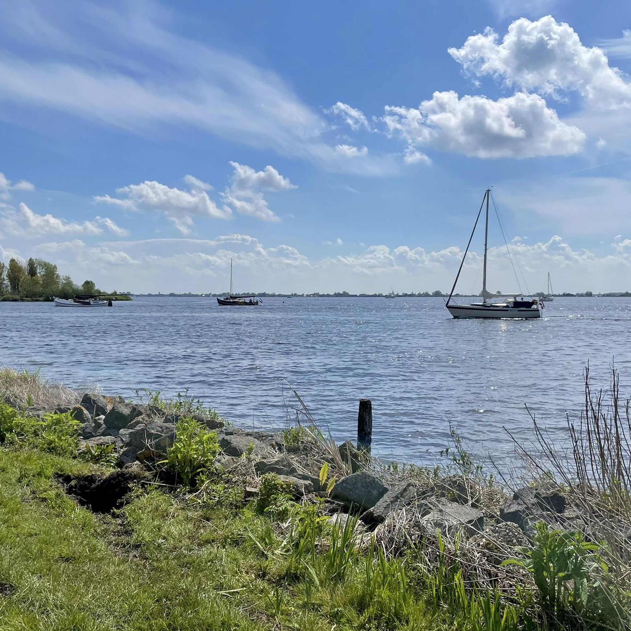
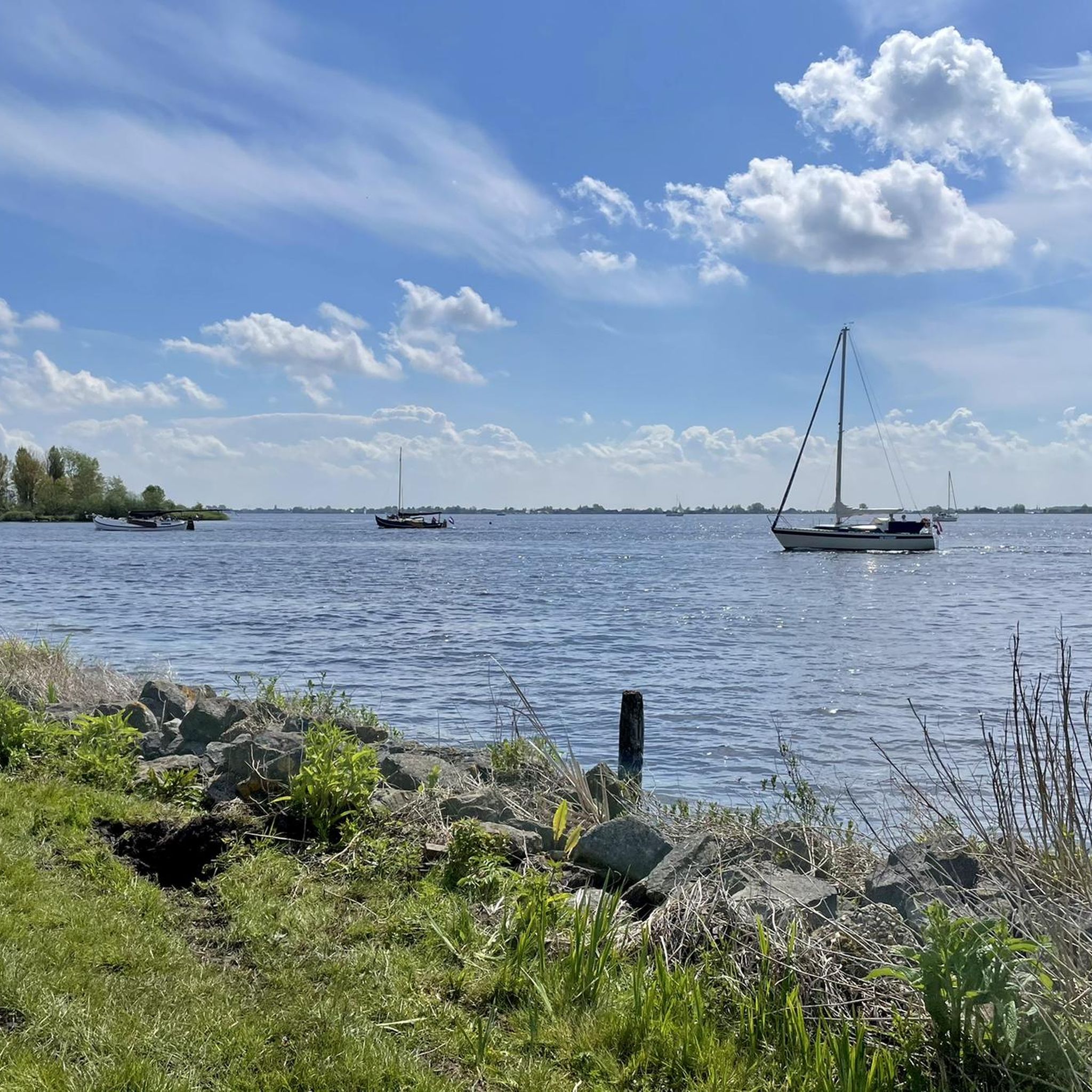
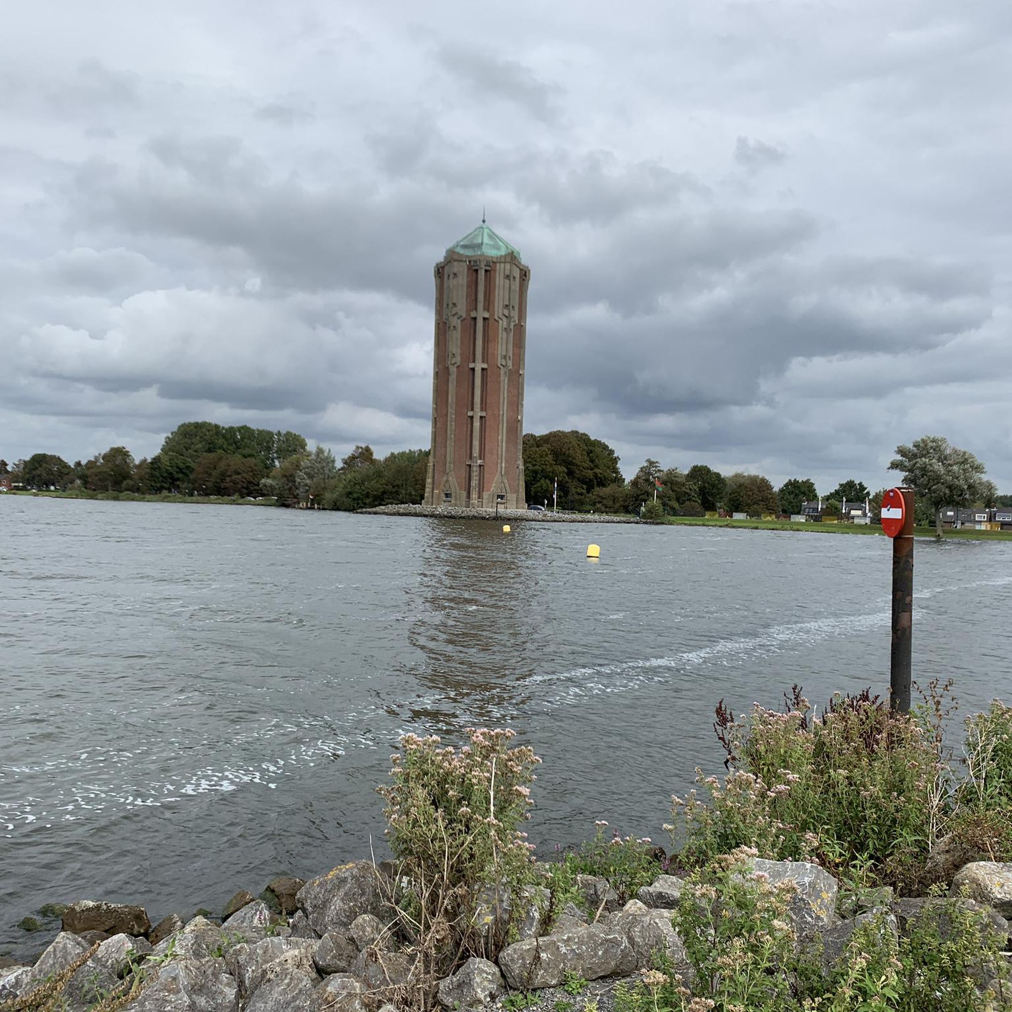
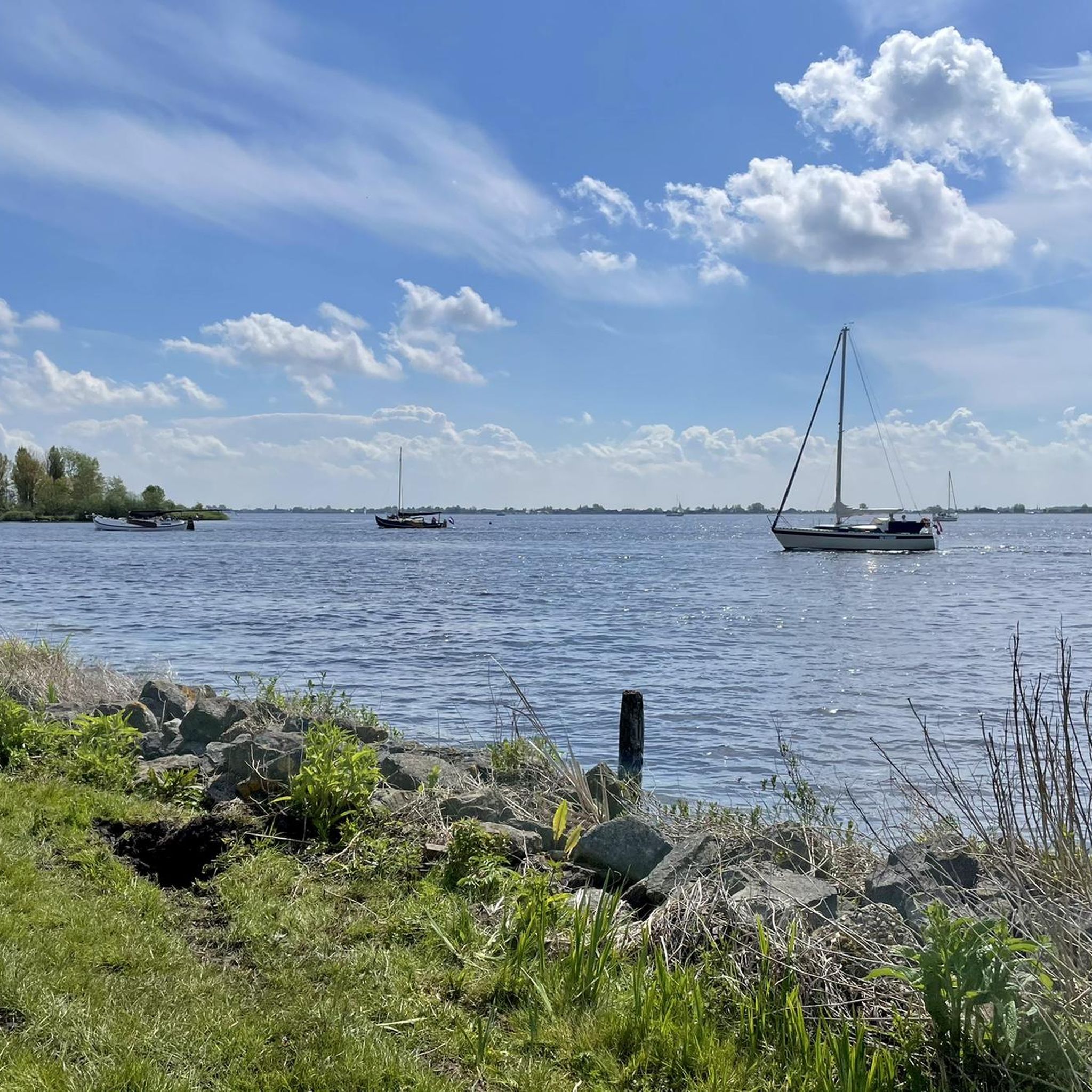
Beautiful view over the water. Water tower can sometimes be visited!
0
0

Next to the water tower and beach there are 2 showers.
2
0
There are several benches along the Westeinderplas with the option to place a BBQ.
1
0
Fill your water bottle for free.
1
0
Get to know the animals in a playful way.
1
0
Frequently Asked Questions
What kind of terrain can I expect when hiking around Westeinder Plassen?
The Westeinder Plassen area is characterized by a distinctive landscape of interconnected lakes, waterways, and numerous grassy islands. The terrain is predominantly flat, featuring expansive polder landscapes and meadows. You'll enjoy scenic views of shimmering waters and lush greenery, with minimal elevation changes throughout your hike.
Are there many hiking trails available in Westeinder Plassen?
Yes, Westeinder Plassen offers a wide variety of hiking opportunities. There are over 690 routes available, catering to different preferences and skill levels. You'll find plenty of options to explore the unique lake district and its surrounding polder landscapes.
What are some notable landmarks or points of interest I can see while hiking?
Hikers can discover several interesting landmarks. The monumental Water Tower, an Art Deco structure from 1928, is a prominent feature. You might also encounter Witch circle: ceramic sculpture circle, or enjoy the views from Herenweg Along the Westeinderplassen. Many routes also offer views of Lake De Poel and the historic Fort Kudelstaart.
Are there any easy, family-friendly hiking routes in the area?
Absolutely. The region has over 470 easy routes, perfect for families or those looking for a relaxed stroll. An excellent option is the Fort Kudelstaart loop from Kudelstaart, an easy 3.7-mile (5.9 km) path that explores the surroundings of the historic fort.
Can I bring my dog on the hiking trails around Westeinder Plassen?
Many trails in the Westeinder Plassen area are suitable for hiking with dogs. Given the natural environment and open spaces, it's generally a dog-friendly region. However, always keep your dog on a leash, especially in nature reserves or near livestock, and be mindful of local regulations which may vary.
Are there circular hiking routes available?
Yes, many of the hiking routes around Westeinder Plassen are circular, allowing you to start and end at the same point. For example, the View of Westeinderplassen loop from Kudelstaart is an easy 4.3 km circular hike offering beautiful views.
What is the best time of year to go hiking in Westeinder Plassen?
The Westeinder Plassen area is particularly appealing from April to October. During these months, the rich and varied flora and fauna are at their peak, offering beautiful natural scenery. The weather is generally milder, making it ideal for outdoor activities.
What kind of wildlife can I expect to see while hiking?
Westeinder Plassen is a valuable nature reserve, boasting a rich and varied flora and fauna. Hikers can observe a wide array of birds, fish, and rare plants, especially from spring through autumn. The extensive waterways and grassy islands provide habitats for diverse species.
Are there options for public transport to reach the hiking trails?
Westeinder Plassen is located just a fifteen-minute drive from Amsterdam, making it accessible. While specific public transport routes to trailheads can vary, local bus services often connect surrounding towns like Aalsmeer and Kudelstaart, which serve as starting points for many hikes. It's advisable to check local transport schedules for the most up-to-date information.
Where can I find parking for hiking in Westeinder Plassen?
Parking options are generally available in the towns and villages surrounding Westeinder Plassen, such as Aalsmeer and Kudelstaart, which are common starting points for many routes. Marinas and local attractions often provide parking facilities. Look for designated parking areas near trailheads or town centers.
What do other hikers enjoy most about Westeinder Plassen?
The area is highly rated by the komoot community, with an average score of 4.3 stars from over 2,600 reviews. Hikers often praise the serene escape offered by the extensive network of lakes and waterways, the picturesque Dutch landscape, and the well-marked paths that provide beautiful views over the meadows and the Westeinder Plas.
Are there any longer or more challenging routes for experienced hikers?
Yes, for those seeking a longer challenge, there are moderate routes available. The Tolhuissluis – Bilderdam Drawbridge loop from Kudelstaart is a moderate 9.0-mile (14.5 km) trail that leads through the polder landscape, typically taking about 3 hours 37 minutes to complete.
Most popular routes around Westeinder Plassen
Most popular attractions around Westeinder Plassen

Get inspired with the komoot mobile app


Explore more
Browse the best Hikes in other regions.
