The best road cycling routes in Charleston County
4.7
(51)
1,077
riders
45
rides
Road cycling routes in Charleston County offer diverse terrain across its Lowcountry landscape. The region is characterized by generally flat topography, making it suitable for various cycling preferences. Riders can expect scenic views of marshlands, wooded areas, and coastal environments where the Ashley and Cooper Rivers meet the Atlantic Ocean. This creates picturesque waterfronts and barrier islands integral to many cycling experiences.
Best road cycling routes in Charleston County
- The most popular road cycling route is East Coast Greenway (SC)…
Last updated: October 10, 2026
4.5
(2)
67
riders
50.7km
02:07
50m
50m
The East Coast Greenway (SC) offers a unique road cycling adventure through the state's picturesque Lowcountry, blending coastal charm with rural landscapes. You'll pedal past historic sites like Charleston's iconic…
14
riders
34.2km
01:21
50m
50m
The Downtown/Park Circle loop offers an easy and scenic road cycling experience, guiding you through North Charleston's vibrant Park Circle neighborhood with its historic architecture and tree-lined streets. You'll also…

3
riders
57.7km
02:16
70m
70m
Embark on the Stono River loop, a moderate racebike route that guides you through Charleston's scenic Lowcountry. This 35.9-mile (57.7 km) journey offers picturesque views of extensive salt marshes and…
4
riders
39.1km
01:33
30m
30m
Embark on the Wando River loop for an easy road cycling experience, covering 24.3 miles (39.1 km) with a gentle elevation gain of just 113 feet (34 metres). This route,…
3
riders
68.1km
02:35
100m
100m
The Little Wambaw Swamp loop is a 42.3-mile, moderate mountain bike or OHV trail in Francis Marion National Forest, not suitable for road cy
111
riders
Moderate road ride. Good fitness required. Mostly well-paved surfaces and easy to ride.
5.0
(1)
93
riders
Easy road ride. Great for any fitness level. Mostly well-paved surfaces and easy to ride.
86
riders
33.6km
01:27
30m
30m
Easy road ride. Great for any fitness level. Mostly well-paved surfaces and easy to ride.
4.0
(1)
49
riders
52.2km
02:11
50m
50m
Moderate road ride. Good fitness required. Some segments of this route may be unpaved and difficult to ride.
46
riders
Moderate road ride. Good fitness required. Mostly well-paved surfaces and easy to ride.
Get access to more routes and recommendations from other explorers.
Already have an account?
Our route recommendations are based on thousands of hikes, rides, and runs completed by other people on komoot.
Start today with a free account
Your next adventure awaits.
Popular around Charleston County
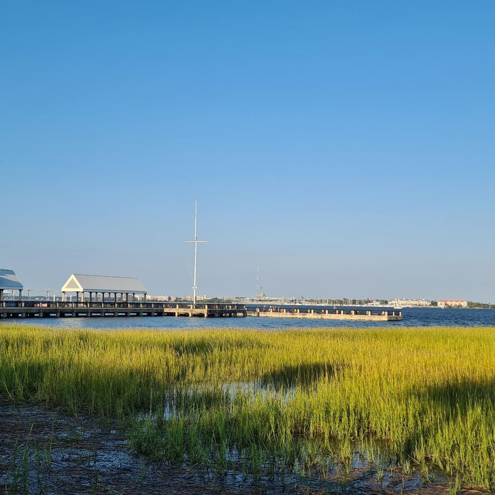
Road Cycling Routes around Mount Pleasant
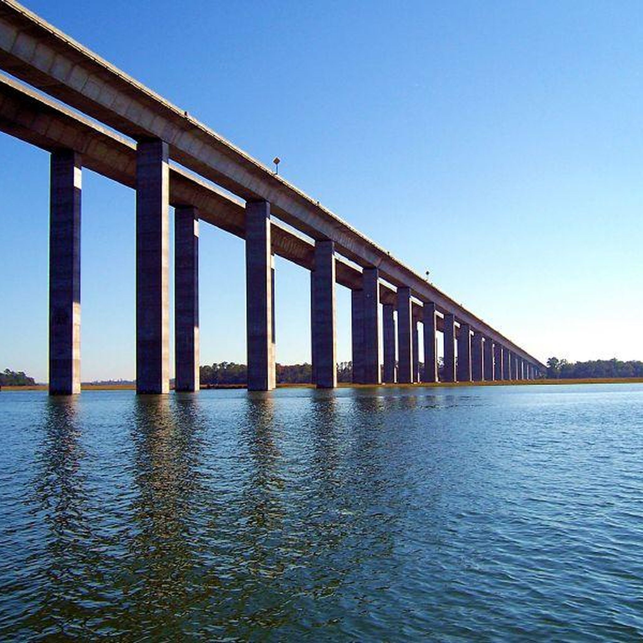
Road Cycling Routes around Charleston
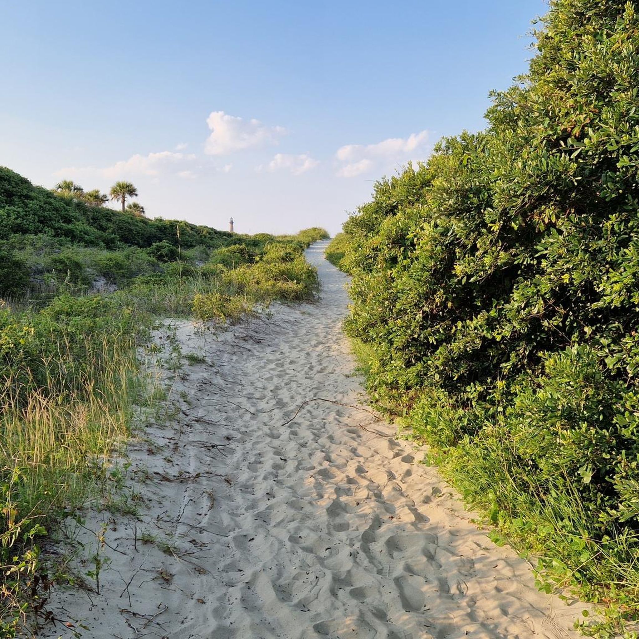
Road Cycling Routes around James Island
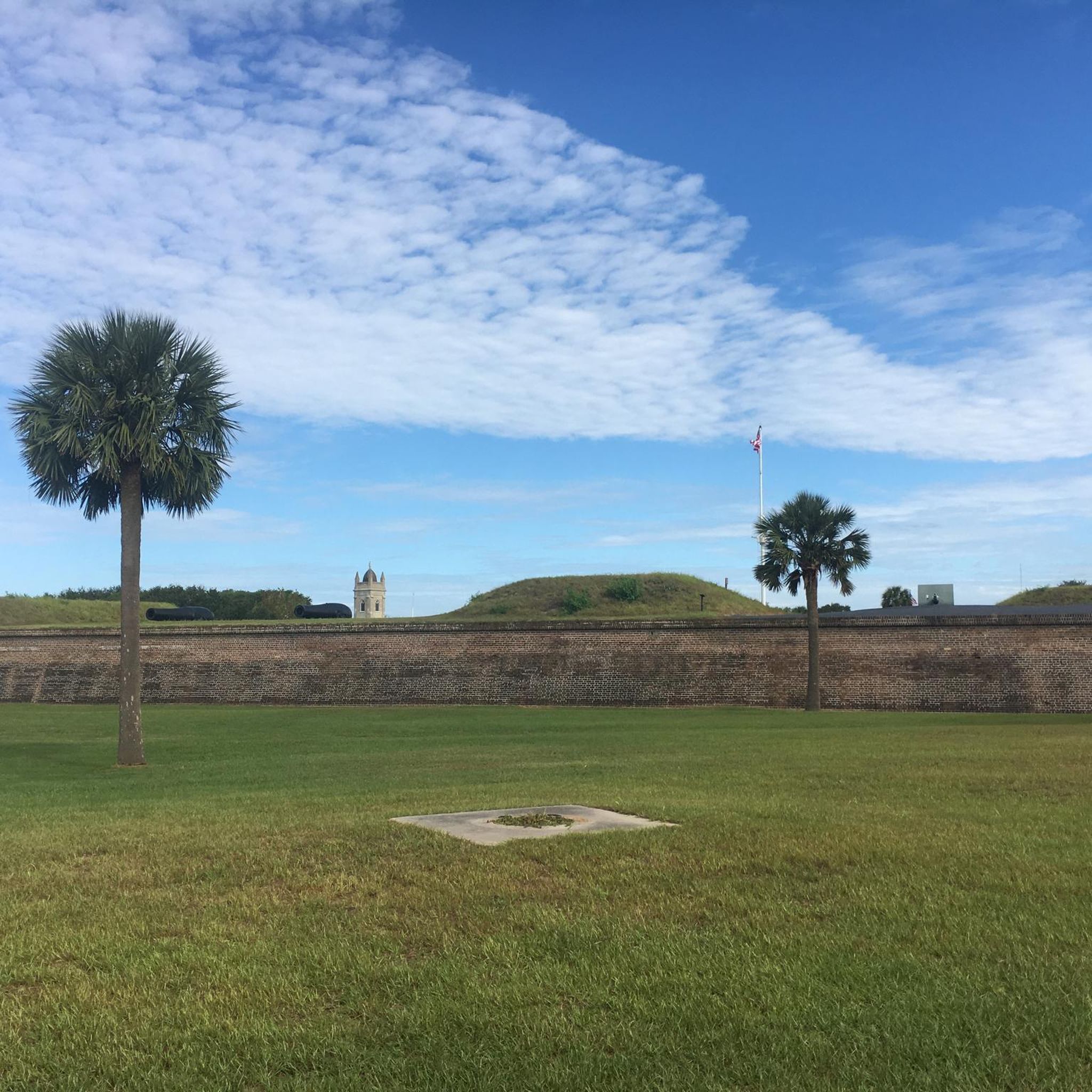
Road Cycling Routes around Sullivan'S Island
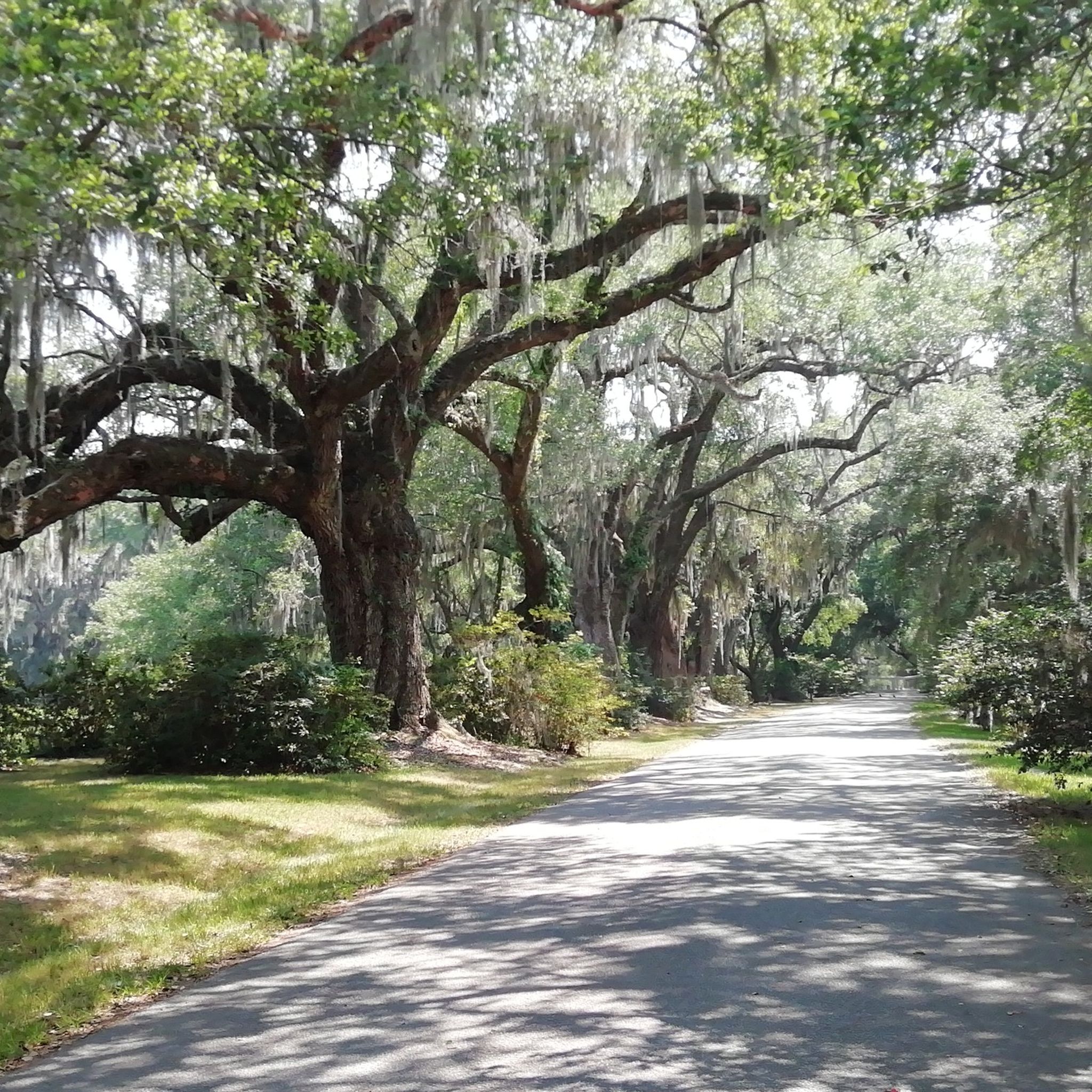
Road Cycling Routes around North Charleston
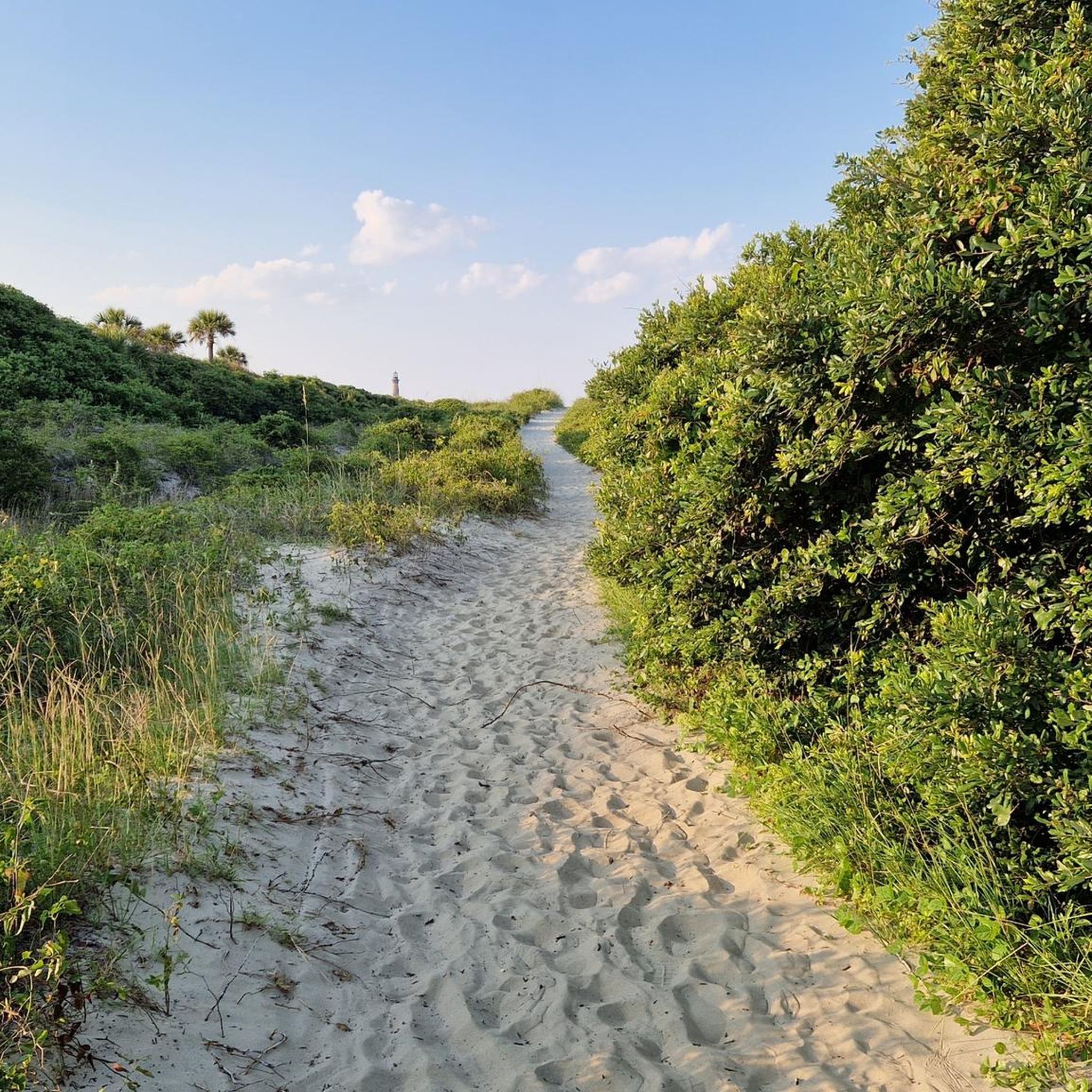
Road Cycling Routes around Folly Beach
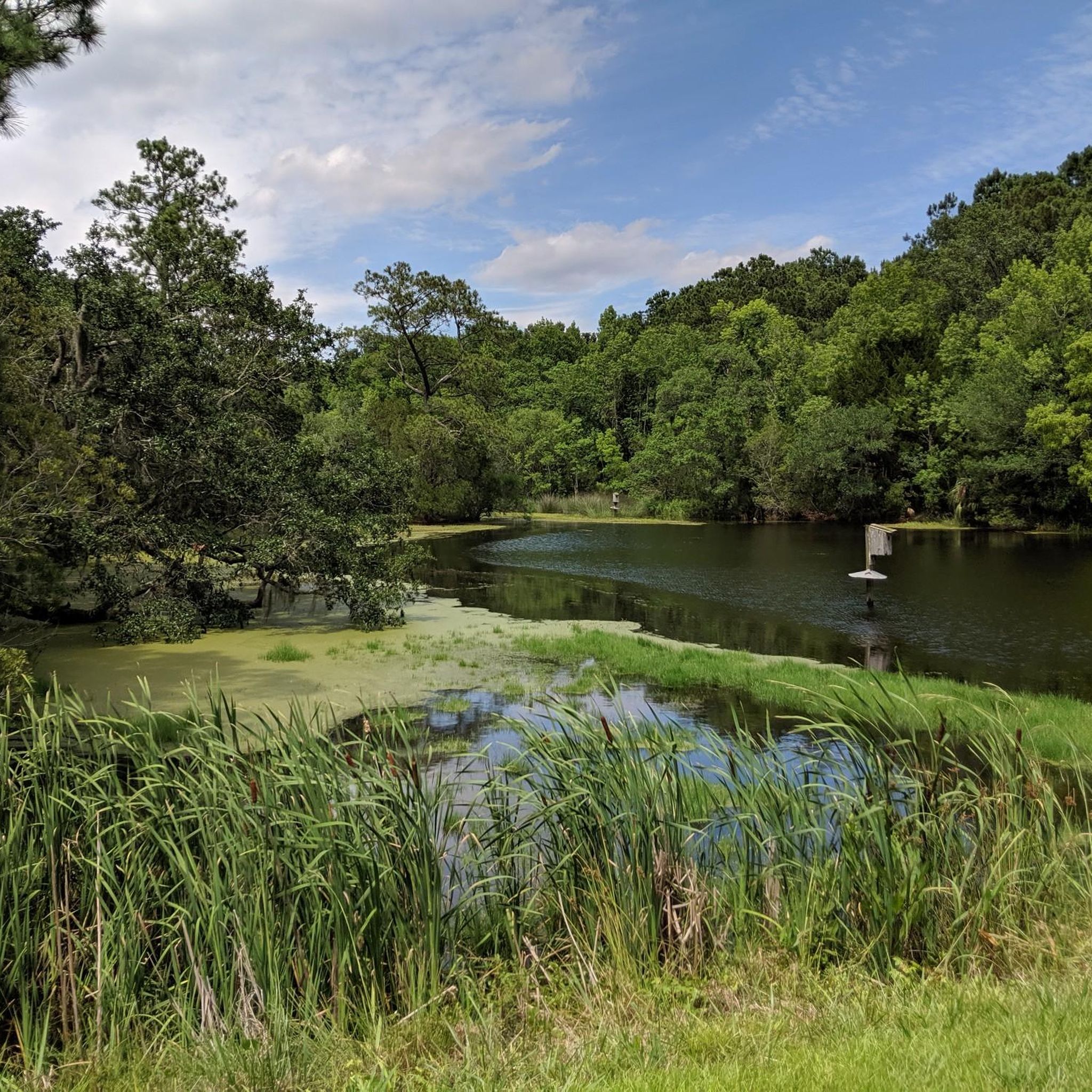
Road Cycling Routes around Awendaw
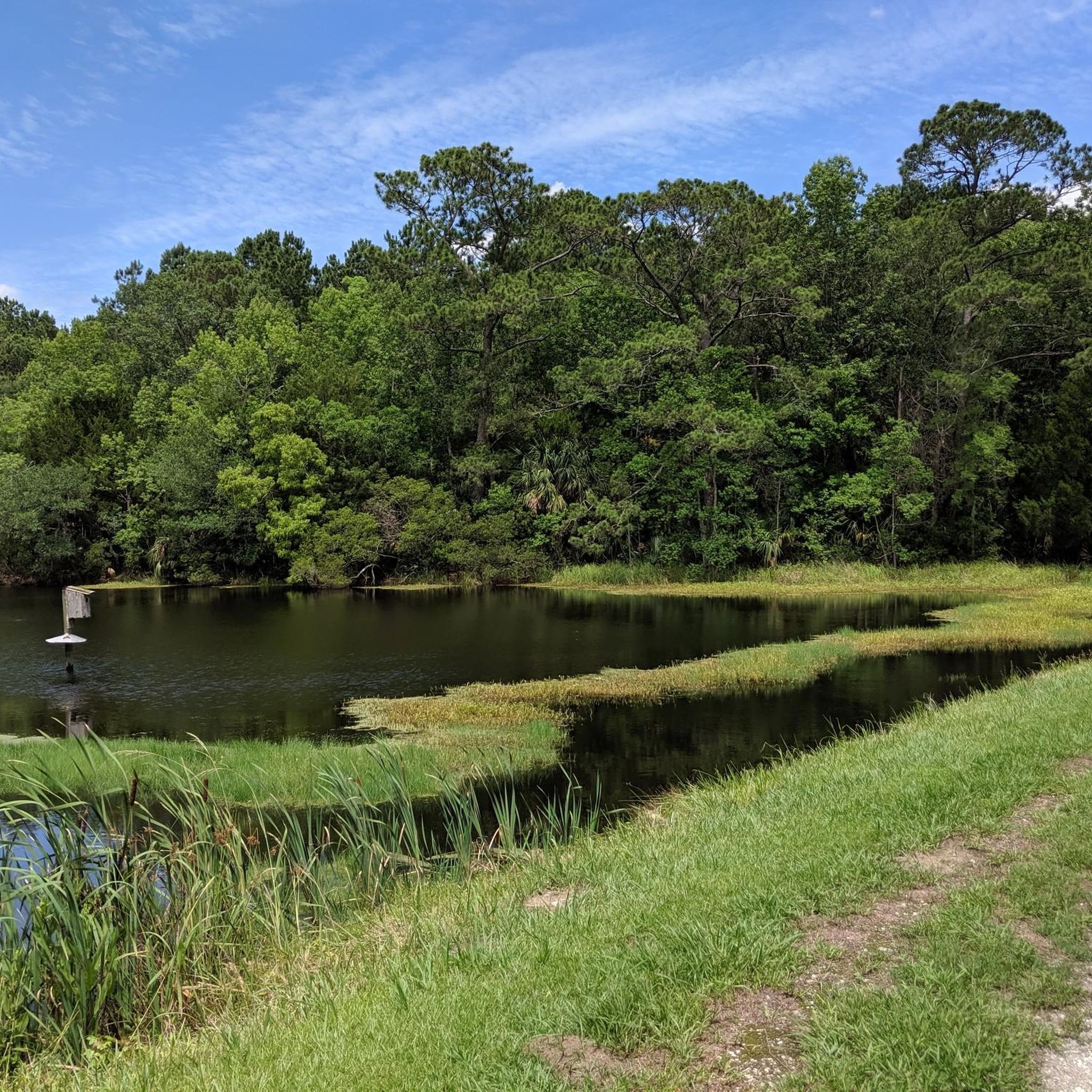
Road Cycling Routes around Isle Of Palms

Road Cycling Routes around Hollywood
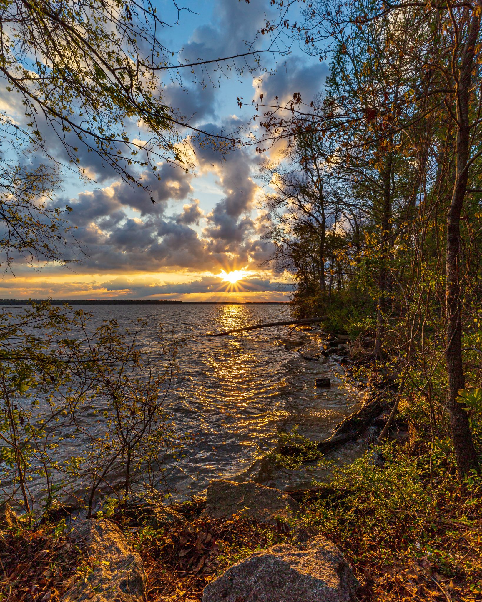
Five days on the Palmetto Trail — A Lowcountry adventure


Tips from the Community

Anyone cycling in Charleston shouldn't miss this fun experience. It's a great feeling to cross the bridge on your bike, enjoy the view, and feel the wind on the exhilarating descent. No tolls.
0
0

Wonder's Way in Charleston is a scenic pedestrian and bike path along the Arthur Ravenel Jr. Bridge. Offering stunning views of the Cooper River and the city skyline, it's a popular sightseeing spot for locals and tourists.
1
0

Hampton Park in Charleston is a sprawling green space with picturesque gardens, serene ponds, and a vibrant array of flora.
0
0

A truly historic place worth visiting. This is where the Civil War began
0
0
Wonder's Way in Charleston is a scenic pedestrian and bike path along the Arthur Ravenel Jr. Bridge. Offering stunning views of the Cooper River and the city skyline, it's a popular sightseeing spot for locals and tourists.
1
0
Hampton Park in Charleston is a sprawling green space with picturesque gardens, serene ponds, and a vibrant array of flora.
1
0

Sullivan's Island, located off the South Carolina coast, is a barrier island with a layered history that extends beyond military events. Not only has it played a pivotal role in conflicts like the American Revolution and Civil War - Fort Sumter on the western tip of the island is where the first shots of the Civil War were fired - but it also holds profound significance in Black history. Serving as a major entry point during the transatlantic slave trade, the island witnessed the arrival of thousands of enslaved Africans throughout the 18th century. Amidst its scenic beauty, Sullivan's Island has a complex history, that visitors can learn more about when they visit.
0
0
Frequently Asked Questions
How many road cycling routes are available in Charleston County?
Charleston County offers a wide selection of road cycling routes, with over 50 options available. These routes cater to various skill levels, including 34 easy and 17 moderate trails, ensuring there's something for every cyclist.
What is the terrain like for road cycling in Charleston County?
The terrain in Charleston County is predominantly flat, characteristic of the Lowcountry landscape. Cyclists can expect scenic views of marshlands, coastal environments, and wooded areas. Routes often feature picturesque waterfronts where the Ashley and Cooper Rivers meet the Atlantic Ocean, as well as barrier islands.
When is the best time of year to go road cycling in Charleston County?
Charleston County's mild weather makes it suitable for road cycling year-round. However, spring and fall offer particularly pleasant conditions with comfortable temperatures and less humidity, ideal for longer rides. Winter cycling is also popular due to the mild climate.
What scenic views or natural features can I expect on road cycling routes in Charleston County?
Road cycling routes in Charleston County offer diverse scenic views. You can expect to see expansive marshlands, stunning coastal vistas, and lush wooded areas. Many routes pass by historic plantations like Magnolia, Middleton, and Drayton Hall, offering a unique blend of natural beauty and history. Don't miss the chance to see the iconic Angel Oak Tree or enjoy the open space of Marion Square.
Are there any historical landmarks or points of interest along the cycling routes?
Yes, Charleston County is rich in history. Many routes, especially those near the Ashley River Road, pass by historic plantations. You can also explore the historic downtown area with its architectural gems. Specific landmarks include Fort Moultrie Cannons, Battery Thomson, the colorful Rainbow Row, and the historic Boone Hall Plantation.
Can I cycle across the Arthur Ravenel Jr. Bridge?
Absolutely! The Arthur Ravenel Jr. Bridge features a dedicated pedestrian and bike path known as Wonders' Way. It offers exhilarating, toll-free views of the Cooper River and the Charleston city skyline, making it a popular and iconic cycling experience.
Are there any family-friendly road cycling routes in Charleston County?
Yes, several routes are ideal for families. The West Ashley Greenway offers a mostly flat, 10.5-mile trail with a paved section, suitable for beginners. James Island County Park also provides miles of paved trails perfect for family biking. For a relaxed ride, consider the Wando River loop, an easy 24.3-mile path.
Are there loop road cycling routes available in Charleston County?
Yes, Charleston County offers numerous loop routes for road cyclists. Popular options include the Stono River loop, which takes you through coastal marshlands, and the Downtown/Park Circle loop, offering urban and park views. For a longer ride, the Little Wambaw Swamp loop provides a moderate 42.3-mile experience.
What do other road cyclists enjoy most about road cycling in Charleston County?
The road cycling experience in Charleston County is highly rated by the komoot community, with an average score of 4.2 stars. Reviewers often praise the region's generally flat terrain, making it accessible for various skill levels, and the stunning coastal paths, marshlands, and wooded areas that provide diverse and picturesque scenery.
Are there options for advanced road cyclists looking for a challenge?
While Charleston County is known for its flat terrain, advanced cyclists can find longer routes that offer endurance challenges. The East Coast Greenway (SC), at 31.5 miles, provides a moderate challenge with minimal elevation. Routes like the Hampton Park – Battery Thomson Fort loop from Snowden, spanning 34.2 miles, also offer a good distance for experienced riders.
Can I find parking easily at the start of road cycling routes?
Many popular cycling areas in Charleston County offer convenient parking. For instance, James Island County Park provides ample parking for visitors. When planning your ride, it's always a good idea to check specific route details on komoot for information on parking availability at trailheads or nearby access points.
Are there any road cycling routes that connect to the East Coast Greenway?
Yes, Charleston County is part of the extensive East Coast Greenway network. You can access sections of this route, such as the East Coast Greenway (SC), which spans 31.5 miles. Sullivan's Island also offers a section of the East Coast Greenway, allowing cyclists to explore this historic island.
What are some popular coastal or island cycling routes?
Charleston County boasts excellent coastal and island cycling. Seabrook and Kiawah Islands offer diverse scenery and wildlife, with dedicated bike trails like the Kiawah Island Bike Trail loop from Kiawah Beachwalker Park. Folly Beach provides opportunities to ride along Center Street and explore the pier, with Folly Beach County Park being free for cyclists. You can also explore Sullivan's Island, which features historical sites like Fort Moultrie.
Most popular routes in Charleston County
Most popular attractions in Charleston County

Get inspired with the komoot mobile app


Didn’t find what you were looking for?
Check out more Road cycling routes throughout Charleston County below and find the perfect route in your destination.
Explore more
Browse the best Road cycling routes in other regions.
