The best running trails in Sherburne County
4.0
(2)
67
runners
15
runs
Jogging routes in Sherburne County traverse a diverse landscape, characterized by oak savannas, prairies, wetlands, and pine forests. The region features extensive trail networks, offering varied terrain for runners. Significant natural features include glacial rock deposits and the Mississippi River corridor, providing scenic views and varied environments for outdoor activity.
Best jogging routes in Sherburne County
- The most popular jogging route is First Lake loop from Bertram Chain of Lakes Mountain Bike Trailhead, a 6.0 miles (9.7 km) trail…
Last updated: August 22, 2026
10
runners
11.4km
01:23
70m
70m
Moderate run. Good fitness required. Mostly paved surfaces. Suitable for all skill levels.
10
runners
20.1km
02:05
90m
90m
Hard run. Very good fitness required. Mostly paved surfaces. Suitable for all skill levels.

Sign up for free
6
runners
6.61km
00:48
30m
30m
Moderate run. Good fitness required. Mostly paved surfaces. Suitable for all skill levels.
5
runners
8.37km
00:52
20m
20m
Moderate run. Good fitness required. Mostly paved surfaces. Suitable for all skill levels.
5.0
(1)
4
runners
8.71km
00:54
20m
20m
Moderate run. Good fitness required. Mostly paved surfaces. Suitable for all skill levels.
4
runners
7.11km
00:44
20m
20m
Moderate run. Good fitness required. Mostly paved surfaces. Suitable for all skill levels.
3
runners
12.4km
01:17
60m
60m
Moderate run. Good fitness required. Mostly paved surfaces. Suitable for all skill levels.
3
runners
5.04km
00:31
20m
20m
Moderate run. Good fitness required. Mostly paved surfaces. Suitable for all skill levels.
Get access to more routes and recommendations from other explorers.
Sign up for free
Already have an account?
Our route recommendations are based on thousands of hikes, rides, and runs completed by other people on komoot.
Start today with a free account
Your next adventure awaits.
Login or Signup


Tips from the Community

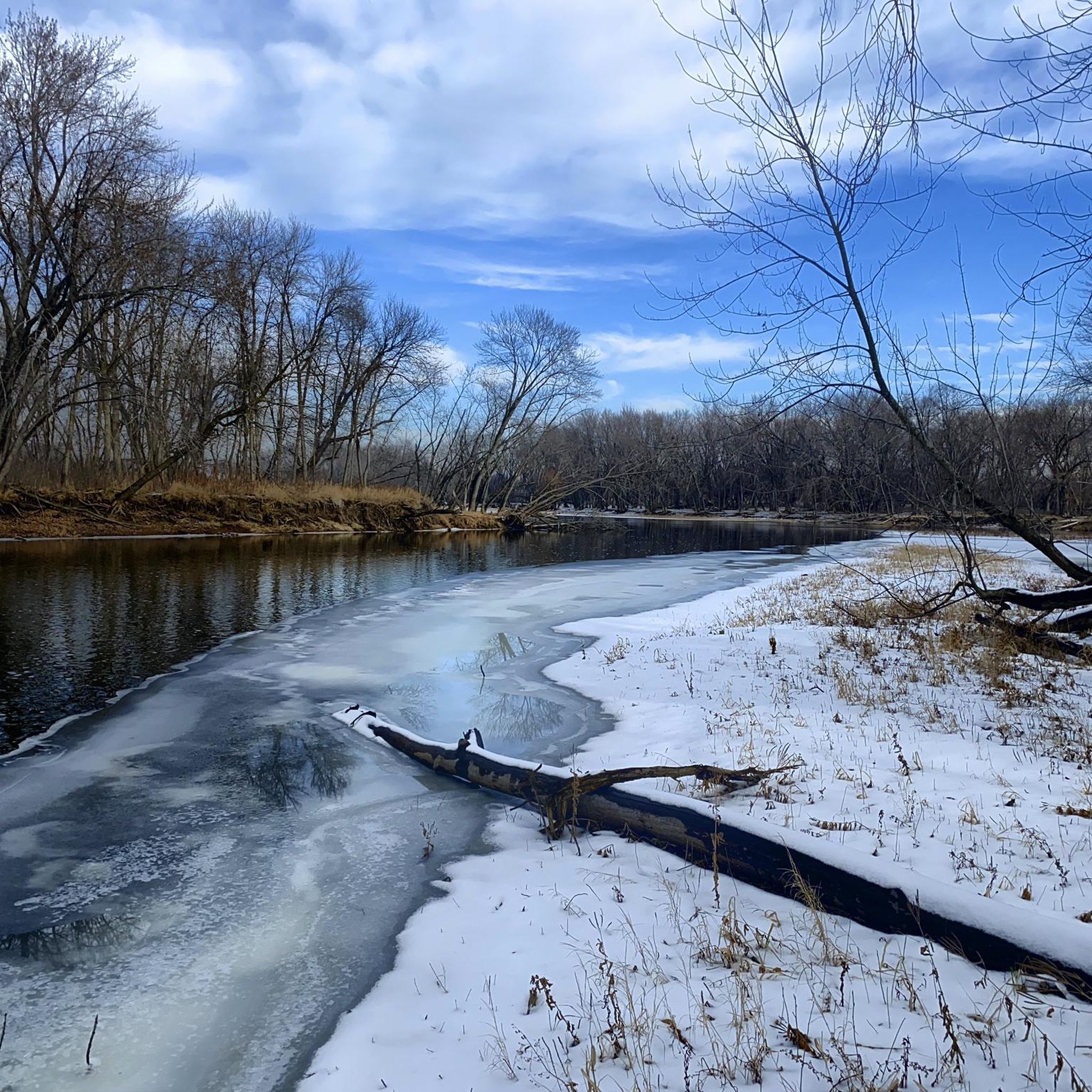
The Beaver Island Trail is a beautiful 5-mile long trail. It follows the Mississisppi River from St. Cloud. The trail is paved and gives you great views of the water.
1
0
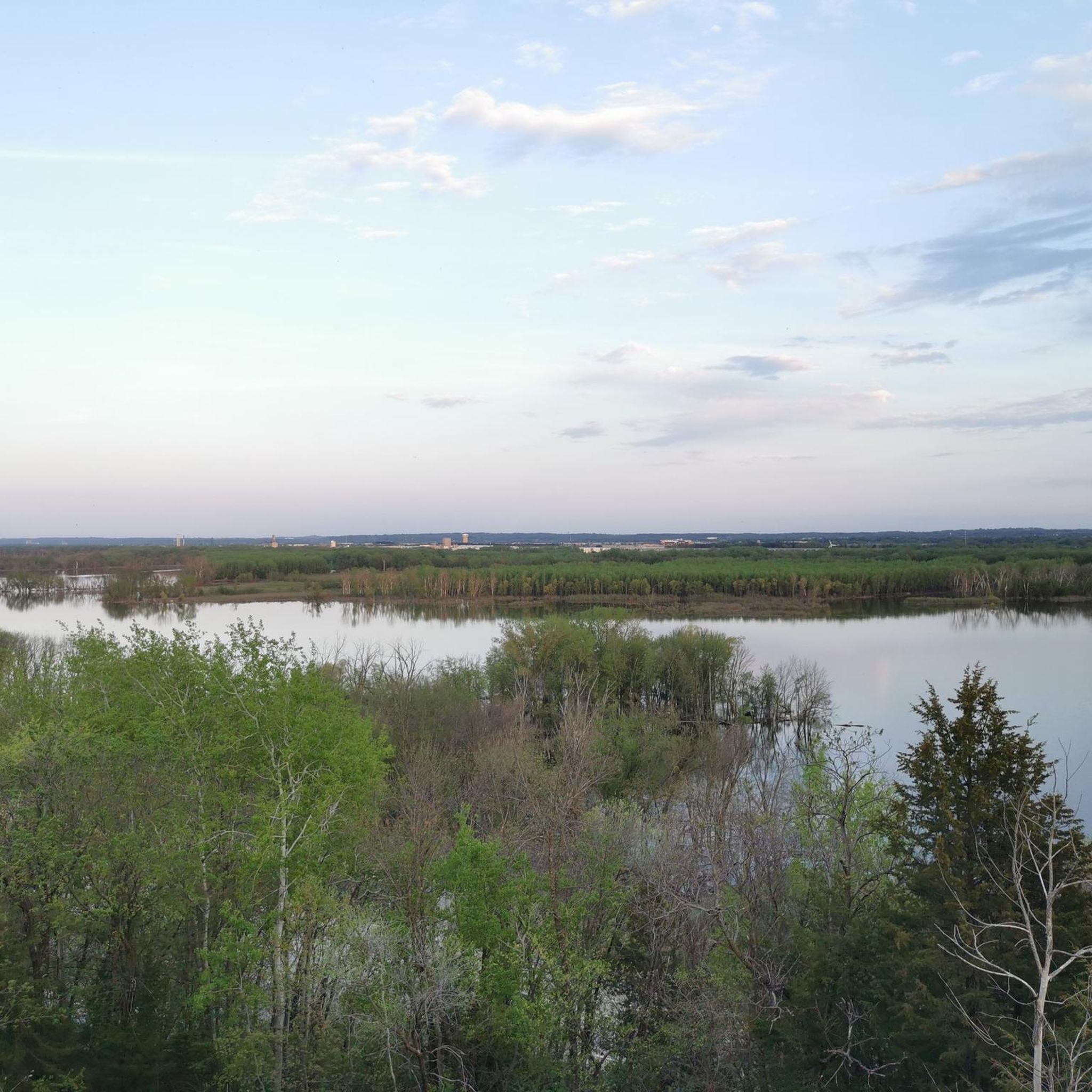
Nice view of the St. Cloud Hydroelectic Facility and dam. From the trail, you also get a great view of the Mississippi River.
1
0
Frequently Asked Questions
What types of terrain can I expect on running routes in Sherburne County?
Sherburne County offers a diverse range of terrains for runners. You'll find routes traversing oak savannas, prairies, wetlands, and pine forests. Some trails, like those in the Sand Dunes State Forest, even feature sandy soil, providing a unique running experience.
Are there any easy or beginner-friendly jogging routes in Sherburne County?
Yes, Sherburne County has options suitable for beginners. Out of the approximately 10 routes available, 2 are classified as easy. For example, the Running loop from Elk River is a moderate 3.1-mile (5 km) path that offers a relatively gentle experience.
What natural features or landmarks can I see while jogging in Sherburne County?
Many running routes in Sherburne County offer scenic views and opportunities to observe nature. You can explore areas like the Sherburne National Wildlife Refuge, which features the highest point in the county and views of Buck Lake. Other routes pass through restored prairies, oak savannas, and along the Mississippi River's Wild and Scenic Corridor. The Sherburne National Wildlife Refuge is a notable natural attraction.
Are there any circular running routes in the area?
Yes, many of the running routes in Sherburne County are designed as loops, offering a convenient way to start and end your run at the same point. A popular example is the First Lake loop from Bertram Chain of Lakes Mountain Bike Trailhead, which is a 6.0-mile (9.7 km) moderate trail.
What do other runners say about the trails in Sherburne County?
The running routes in Sherburne County are highly regarded by the komoot community, holding an average rating of 4.5 stars from over 2 reviews. More than 45 runners have used komoot to explore the varied terrain, often praising the diverse landscapes and well-maintained paths.
Are there any running routes that offer views of water or rivers?
Absolutely. The Mississippi River Corridor within Sherburne County provides scenic vistas and opportunities for wildlife observation along its riverine habitats. Additionally, parks like Grams Park feature boardwalks and trails with views of Lake Fremont, and Oak Savanna Park offers an overlook of Clitty Lake.
Which parks in Sherburne County are good for running?
Several parks in Sherburne County are excellent for running. Woodland Trails Regional Park, often called the 'crown jewel' of Elk River's park system, offers about 10 miles of trails, including a 4.75-mile paved section of the Great Northern Trail. Other great options include Bridgeview Park Reserve, Grams Park, and Oak Savanna Park, all featuring diverse trail networks.
Is there a long-distance paved trail suitable for running?
Yes, the Great Northern Regional Trail is a highly popular paved surface that's excellent for running. It currently extends 8.5 miles from Elk River to Zimmerman, with plans for further expansion along its historic railroad bed, offering a smooth and continuous path.
Can I find running routes that are suitable for families?
While specific 'family-friendly' designations aren't always given, many of the easier and moderate routes in Sherburne County's parks, such as those in Woodland Trails Regional Park or the paved sections of the Great Northern Regional Trail, would be suitable for families looking to run together. The diverse and scenic environments make for an enjoyable outing.
Are there any running routes that go through unique natural areas like sand dunes?
Yes, for a truly unique running experience, the Sand Dunes State Forest offers trails that traverse sandy soil, oak savanna, prairie, and pine plantations. The Red Six loop from Quarry Park and Nature Reserve is a moderate 3.9-mile (6.3 km) path that allows you to explore this distinct terrain.
What is the longest running route listed in Sherburne County?
Among the listed routes, the Lake Maria State Park Camping Sites loop from Trail Center is one of the longer options. It's a moderate 7.1-mile (11.4 km) path that winds through natural habitats, including pine forests and wetlands.
Are there any running routes with minimal elevation gain?
Many routes in Sherburne County feature relatively gentle elevation changes, making them suitable for those seeking flatter runs. For instance, the Running loop from Big Lake is a moderate 5.2-mile (8.4 km) trail with minimal elevation gain, leading through open natural spaces.
Most popular attractions in Sherburne County

Get inspired with the komoot mobile app


Didn’t find what you were looking for?
Check out more Running Trails & Routes throughout Sherburne County below and find the perfect route in your destination.
Explore more
Browse the best Running Trails & Routes in other regions.
