Routes

Planner

Features

Updates

App

Login or Signup

Get the App

Login or Signup

Routes
Running Trails
United States
Maine

Oxford County

The best running trails in Oxford County

212

runners

43

runs

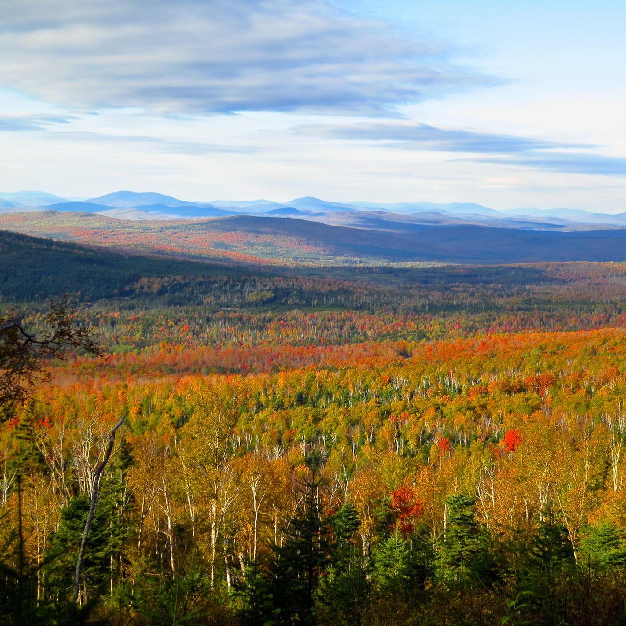
Jogging routes in Oxford County, Maine, traverse a landscape characterized by rugged mountains, dense forests, and significant elevation changes. The region offers challenging terrain with numerous hills and peaks, providing panoramic views. Running trails often follow river valleys and lead through natural preserves, catering to those seeking a vigorous outdoor experience.

Best jogging routes in Oxford County

  • The most popular jogging route is Old Speck Trail, a 6.6 miles (10.7 km) trail that takes 1 hour 52 minutes to complete. This difficult route features substantial elevation gain and panoramic summit views.
  • Another top favourite among local runners is Ledges and Bald Peak Trail Loop, a difficult 5.3 miles (8.6 km) path. This route offers rugged terrain and steep climbs to Bald Peak.
  • Local runners also love the Caribou and Mud Brook Trail Loop, a 6.5 miles (10.5 km) trail leading through the White Mountains, often completed in about 1 hour 37 minutes.
  • Jogging in Oxford County is defined by challenging mountain trails, river valley paths, and forested routes. The network offers options for various ability levels, from moderate runs to difficult ascents.
  • The guide includes highly-rated routes that showcase the best of the region's landscape. More than 190 runners have used komoot to explore Oxford County's varied terrain.

Last updated: July 7, 2026

13

runners

#1.

Old Speck Trail

10.7km

01:53

800m

800m

Prepare for a challenging jogging experience on the Old Speck Trail, a difficult 6.6 miles (10.7 km) route that climbs 2621 feet (799 metres) in about 1 hour and 52 minutes. You'll start by winding through a beautiful hardwood forest, following Cascade Brook and passing picturesque waterfalls. As you ascend, the terrain becomes rugged with steep climbs, offering frequent views of Grafton Notch and Western Maine. The true reward awaits at the summit, where the Old Speck Mountain Fire Tower provides outstanding 360-degree panoramic views of the surrounding mountains.

Since the Old Speck Trail is consistently rated as difficult, you should come prepared with sturdy footwear and plenty of water. The trailhead is easily accessible by car, and you'll enjoy a scenic drive through Grafton Notch State Park to reach it. Given its rugged nature, this route is best suited for experienced trail runners who are comfortable with challenging ascents. Plan your visit during favorable weather conditions to fully appreciate the views and tackle the demanding terrain safely.

This challenging path is well-known for its steep climbs and rugged terrain, making it a significant test for those seeking a vigorous workout in nature. The trail's location within Grafton Notch State Park means you are immersed in a pristine natural environment. It's a prime example of the demanding yet rewarding trails found in Western Maine, offering a true sense of accomplishment upon reaching the summit.

Navigate with device

Send to Phone

Save

Hard

8

runners

Embark on a challenging jogging adventure with the Ledges and Bald Peak Trail Loop, a difficult route spanning 5.3 miles (8.6 km) with a significant elevation gain of 1593 feet (485 metres). This trail offers a dynamic experience, leading you through varied terrain from dense forests to exposed rocky ledges. As you ascend, you will encounter the rugged beauty of the landscape, culminating in panoramic views from the Pleasant Mountain Summit, where you can spot Mount Desert Island and the Atlantic Ocean. The estimated duration for this demanding loop is around 1 hour and 22 minutes, but be prepared for sections that test your endurance.

Before you head out, plan your visit carefully, especially considering the trail's difficult rating. This route is not recommended during wet weather conditions, as the granite surfaces can become extremely slippery, making the steep scrambles and ledges particularly hazardous. For a safer and more enjoyable jogging experience, aim for dry days when the footing is more secure. Always check local conditions and weather forecasts before starting your journey on this challenging loop.

The Ledges and Bald Peak Trail Loop stands out for its diverse natural environment, showcasing a rich tapestry of vegetation including spruce and fir forests, vibrant wildflowers, and moss-covered rocks. It provides a unique opportunity to immerse yourself in the natural beauty of the region while pushing your physical limits. The trail's varied landscape and rewarding summit views make it a notable option for experienced joggers seeking a rigorous workout and stunning scenery within the Pleasant Mountain Preserve.

Hard
guide_signup
Let us show you the way with the komoot mobile app
With a free komoot account, you can easily find, customize, and navigate endless outdoor adventures.

Sign up for free

5

runners

4.73km

00:45

280m

280m

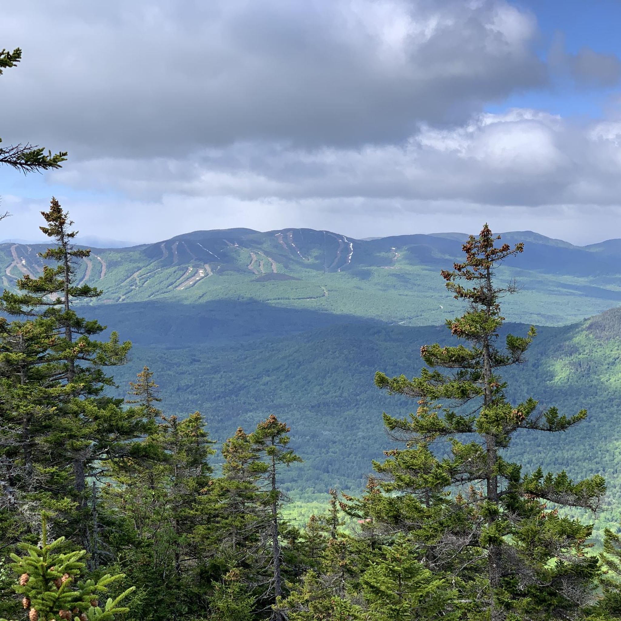
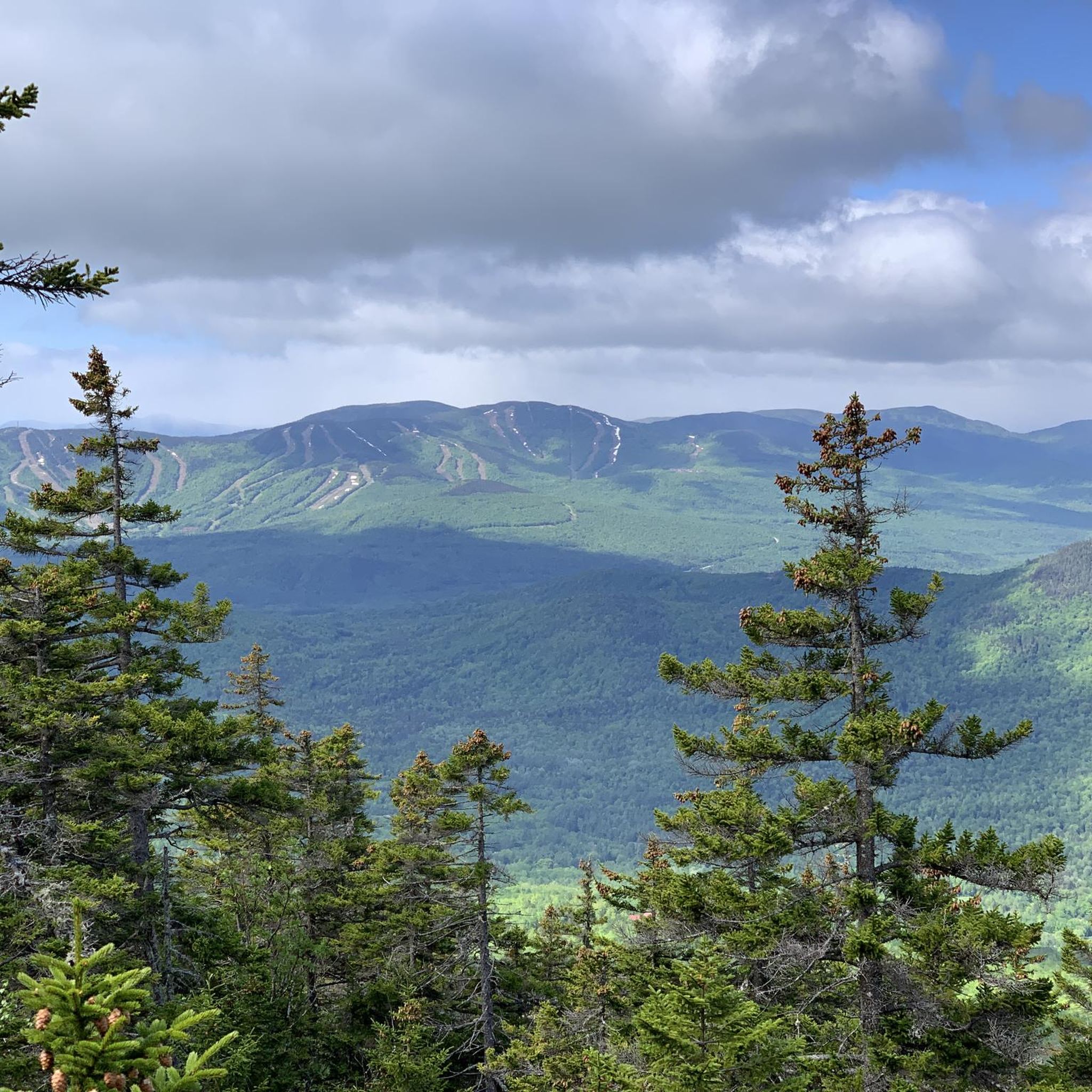
The Mount Will Trail provides a moderate jogging experience, covering 2.9 miles (4.7 km) with a notable 913 feet (278 metres) of elevation gain. You can expect to complete this route in about 45 minutes. As you jog, you'll pass through varied woods, leading to rewarding views from the North Ledges overlooking the Androscoggin River Valley. Further along, the South Cliffs offer expansive vistas of the valley, Bethel village, and surrounding ski areas.

When planning your visit, be aware that while the trail is popular year-round, certain sections can become very icy in winter before significant snowfall. Dogs are welcome to join you on the trail, but please ensure they remain on a leash or are under strict voice command. Parking is available at the trailhead, making access straightforward for your outing.

This route is more than just a workout; it's also an opportunity to learn about the area's past. Along the initial section of the trail, you will find interpretive signs detailing the natural environment and the region's logging history. In late summer, keep an eye out for wild blueberries growing between the North Ledges and South Cliffs, adding a sweet touch to your jog.

Moderate

4

runners

7.20km

00:52

60m

60m

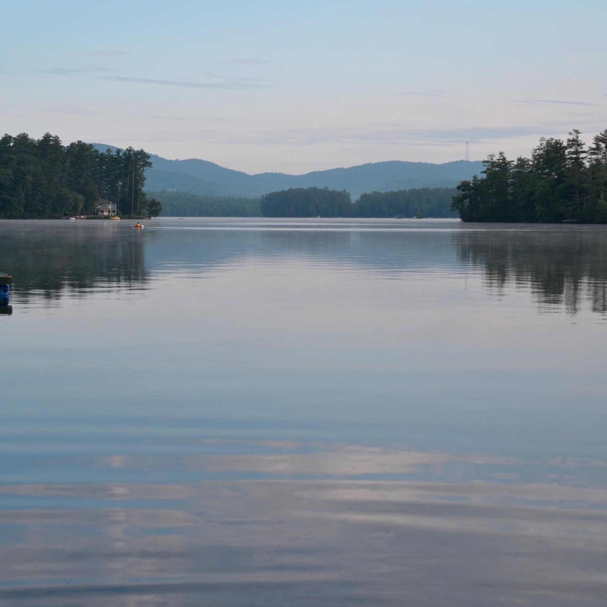
Embark on the Witt End Trail Loop for a refreshing jogging experience through Maine's natural environment. This moderate route covers 4.5 miles (7.2 km) with a gentle elevation gain of 182 feet (55 metres), making it achievable in about 52 minutes. As you jog, you will find yourself immersed in lush forests of hemlock, white cedar, and mixed hardwoods, often accompanied by the soothing sound of babbling brooks. Keep an eye out for local wildlife like deer and foxes, and enjoy the intimate perspective on the surrounding wetlands, with Pennesseewassee Lake offering a scenic highlight along your way.

Planning your visit to the Witt End Trail is straightforward, as it connects to both the Witt Swamp Preserve and Shepard's Farm Preserve. Parking is typically available near the trailheads that provide access to this area. While the trail is generally accessible, be mindful that colder weather can bring snow and ice, so plan your jogging adventure accordingly to ensure a safe and enjoyable outing.

This route offers a diverse experience for joggers seeking varied terrain within the Witt Swamp Preserve. It provides a unique opportunity to connect with nature, offering glimpses of wetlands and a chance to spot various bird species. The trail's blend of forest paths and scenic lake views makes it a notable option for a focused run in the region, providing both physical activity and natural beauty.

Moderate

4

runners

If you're looking for a challenging jogging experience, the Caribou and Mud Brook Trail Loop delivers with its difficult rating. This route covers 6.5 miles (10.5 km) and climbs a significant 1816 feet (553 metres), taking about 1 hour and 36 minutes to complete. You'll encounter varied terrain, from forested paths to rocky ridges and open rock slabs, with the summit of Caribou Mountain offering expansive 360-degree panoramic views as a highlight.

When planning your visit, be aware that the trail combines the Caribou Trail and the Mud Brook Trail, ensuring a diverse journey without retracing your steps. Trail junctions are marked, and the paths are generally easy to follow, but carrying a map or GPS is recommended for navigation. Rock cairns will help guide you across the open ledge sections, especially in less familiar conditions.

This loop takes you through the Caribou-Speckled Mountain Wilderness, a protected area known for its rugged beauty. Along the way, you can expect to pass several scenic waterfalls and streams, including Kees Falls, a 25-foot cascade along Morrison Brook. The wilderness setting provides a true escape into nature, making this a notable route for those seeking solitude and a physical test.

Hard

Prepare for a difficult jogging route up Puzzle Mountain, covering 7.5 miles (12.0 km) with a significant elevation gain of 2394 feet (730 metres). This challenging journey, estimated to take around 1 hour and 59 minutes, winds through varied terrain in the Mahoosuc Mountain Range. You will encounter sections with rock scrambling, exposed ledges, and plenty of roots and rocks underfoot. As you ascend, you'll pass through emerald forests before reaching the summit. From Puzzle Mountain Summit, you are rewarded with expansive panoramic vistas of the Mahoosuc Mountain range, the Bear River Valley, and the distant Presidential Range.

This route is considered highly technical for jogging, so it is best suited for experienced trail runners. The trail is located in the Stewart Family Preserve. Be aware that when wet, the path, especially the descent off Puzzle Mountain, can become treacherous and slippery. Always check local weather conditions before you head out, as the Mahoosuc Range is known for its ruggedness. Planning your visit carefully will ensure a safer and more enjoyable experience.

The Mahoosuc Mountain Range, where this trail is situated, is renowned for its rugged beauty and demanding trails. This particular route offers a unique opportunity to experience the diverse landscape, from dense forests to exposed ledges. The panoramic views from the summit are a highlight, providing a broad perspective of the surrounding natural environment. It is a notable challenge for those seeking a rigorous jogging experience in this region.

Hard

Embark on the Wright Trail to Goose Eye and Mount Carlo, a difficult jogging route spanning 10.8 miles (17.3 km) with a significant elevation gain of 3095 feet (943 metres). You can expect to complete this challenging journey in about 3 hours and 3 minutes. The trail begins with a pleasant walk alongside Goose Eye Brook, where you'll find cascades and pools, before ascending above the treeline onto spectacular, exposed ridges. The highlight is the ridge connecting Goose Eye Mountain to Mount Carlo, offering expansive panoramic views.

When planning your visit, be aware that while the initial sections might allow for some light jogging, the trail quickly becomes rugged. You will encounter wet areas, significant mudpits, and steep rock scrambles as you climb. The descent from Goose Eye Mountain is particularly demanding, featuring iron rungs and ladders that require careful navigation. This route is best suited for experienced trail users looking for an advanced hiking experience rather than continuous jogging.

This trail is a notable part of the Mahoosuc Public Land, showcasing the rugged beauty of the Mahoosuc Range. The journey from Goose Eye Mountain to Mount Carlo provides a unique perspective of this wild area, making it a distinctive experience in the region. It's a chance to immerse yourself in diverse landscapes, from serene brookside paths to exposed mountain ridges, all within a challenging yet rewarding environment.

Hard

3

runners

5.54km

00:55

340m

340m

Embark on the Twin Brook Trail for a challenging jogging experience that truly tests your endurance. This difficult route spans 3.4 miles (5.5 km) and demands a significant climb of 1124 feet (343 metres), typically completed in about 54 minutes. As you navigate the demanding terrain, you will wind through a natural landscape, eventually reaching the Burnt Meadow Mountains North Peak, where expansive views await.

Before you head out, remember that this trail is situated in a natural area, so be ready for varied conditions underfoot. Parking is generally available at trailheads located in the Brownfield, Maine area. Always check local conditions, especially during shoulder seasons, as weather can significantly affect trail accessibility and your overall experience.

The Twin Brook Trail offers more than just a workout; it provides a rewarding journey through the wilderness. The substantial elevation gain makes the effort worthwhile, culminating in panoramic vistas from the summit. This route is ideal if you are seeking a vigorous trail run that combines physical challenge with the beauty of the surrounding natural environment.

Hard

2

runners

7.08km

00:46

30m

30m

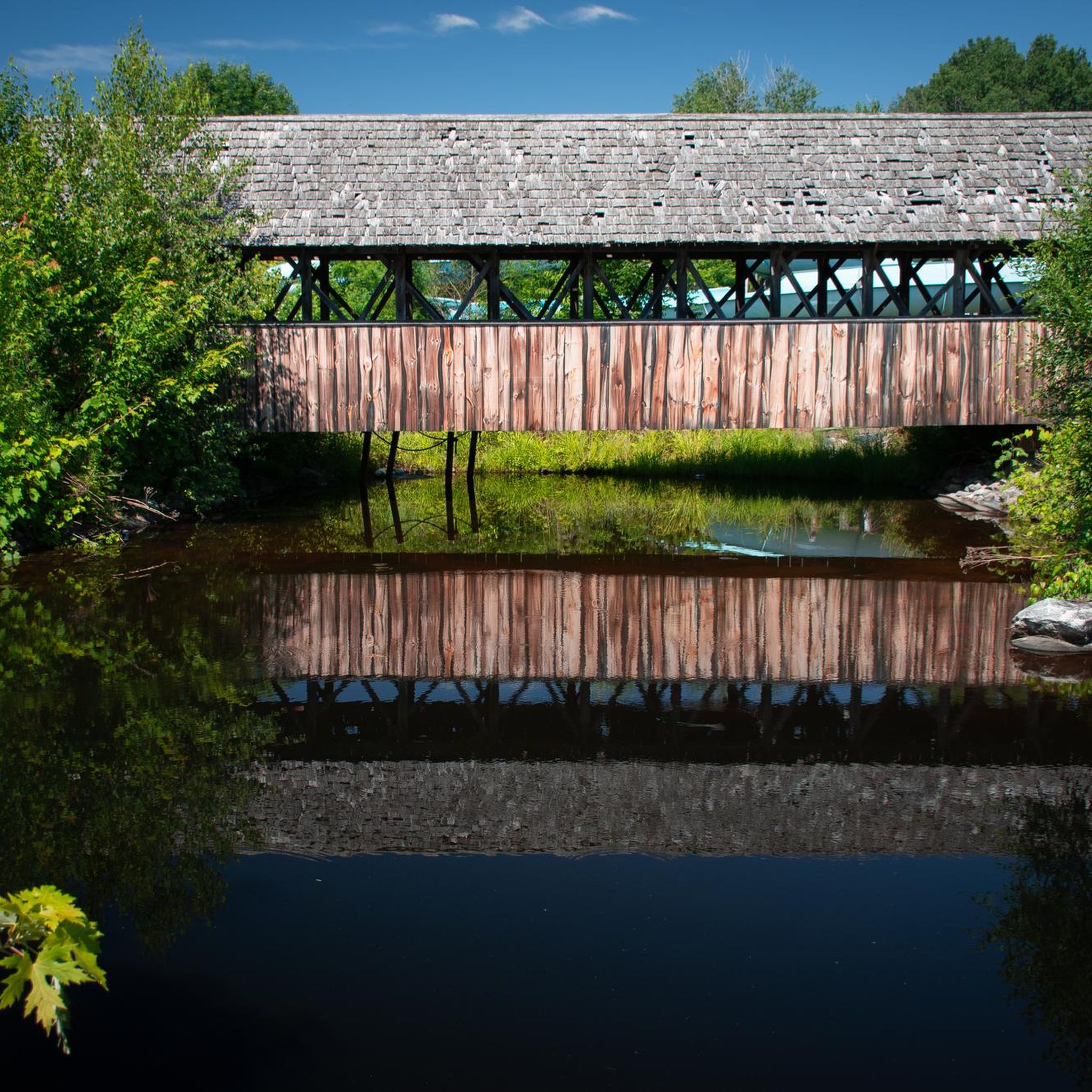
The Bethel Pathway offers a moderate jogging experience, covering 4.4 miles (7.1 km) with a gentle elevation gain of 88 feet (27 metres). You can expect to complete the route in about 45 minutes. As you jog, you'll enjoy diverse scenery, from the peaceful banks of the Androscoggin River to open agricultural fields, all framed by views of the western Maine mountains. Look for the charming covered bridge at Intervale Gateway Nature Reserve, a perfect spot to pause.

This pathway is open all year, making it a reliable choice for your jogging routine. You'll find convenient parking at Davis Park, which also has a playground if you're visiting with family. The route is pet-friendly, so feel free to bring your dog along. Benches are available for resting, and picnic areas near the trailhead offer a nice spot to relax before or after your activity.

The Bethel Pathway stands out for its connection to the natural landscape, particularly its winding path along the Androscoggin River. This area is known for its agricultural beauty and provides glimpses of the wider western Maine mountain range. In season, you might even spot monarch butterflies, adding a touch of natural wonder to your jog. The covered bridge is a historical and scenic highlight, providing a unique landmark on the route.

Moderate

2

runners

3.55km

00:58

270m

270m

The Eyebrow Trail Loop offers a truly demanding jogging experience, covering 2.2 miles (3.5 km) with a significant 888 feet (271 metres) of elevation gain. You will navigate extremely steep sections featuring exposed ledges, roots, and slippery rock, often requiring the use of iron rungs, a steel cable handrail, and a ladder to ascend. Despite its difficult rating and estimated 58-minute duration, the physical challenge is rewarded with fantastic views from an 800-foot cliff overlooking the valley and a prominent viewpoint at the trail's highest elevation.

When planning your visit, it is highly recommended to tackle the loop counter-clockwise, ascending the Eyebrow Trail and descending via the less steep Appalachian Trail, as descending the Eyebrow Trail can be dangerous. This route demands physical strength and agility, making it unsuitable for small children, especially when conditions are wet. Parking is generally available at the trailhead located within Grafton Notch State Park, so you can easily access the start of your adventure.

While listed for jogging, the challenging nature of the Eyebrow Trail Loop makes it more suitable for advanced hikers seeking a rigorous workout in Grafton Notch State Park. This unique and demanding experience sets it apart in the region, offering a distinct blend of natural beauty and strenuous activity. The trail's features, like the iron rungs and ladder, highlight its exceptional terrain and the effort required to complete it.

Hard
Sign up for free to see 34 more runs in Oxford County.

Get access to more routes and recommendations from other explorers.

Sign up for free

Already have an account?

Our route recommendations are based on thousands of hikes, rides, and runs completed by other people on komoot.

Start today with a free account

Your next adventure awaits.

Login or Signup

Popular around Oxford County

Running Trails in Grafton Notch State Park
Running Trails in Caribou-Speckled Mountain Wilderness
Running Trails around Fryeburg
Running Trails around Bethel

The Appalachian Trail — America's most iconic long-distance hike
Hiking in Oxford County
Road Cycling Routes in Oxford County
Cycling in Oxford County
MTB Trails in Oxford County

Other adventures in Oxford County

The Appalachian Trail — America's most iconic long-distance hike

Hiking Collection by

Jamie S.

Tips from the Community

Chuck Heckman
December 14, 2023, Shepard Farm Trail

This trail takes you through the Witt Swamp Preserve. The preserve is mostly a marsh, so much of the trail is built on raised wooden boardwalks. Following the trail south, it leads you to Shepard Farm Preserve and Penneeseewassee Lake, a great place to have a swim on a hot summers day. Keep a look out for turtles that like to call the nature preserve home. You can often see them perched on top of floating logs.

0

0

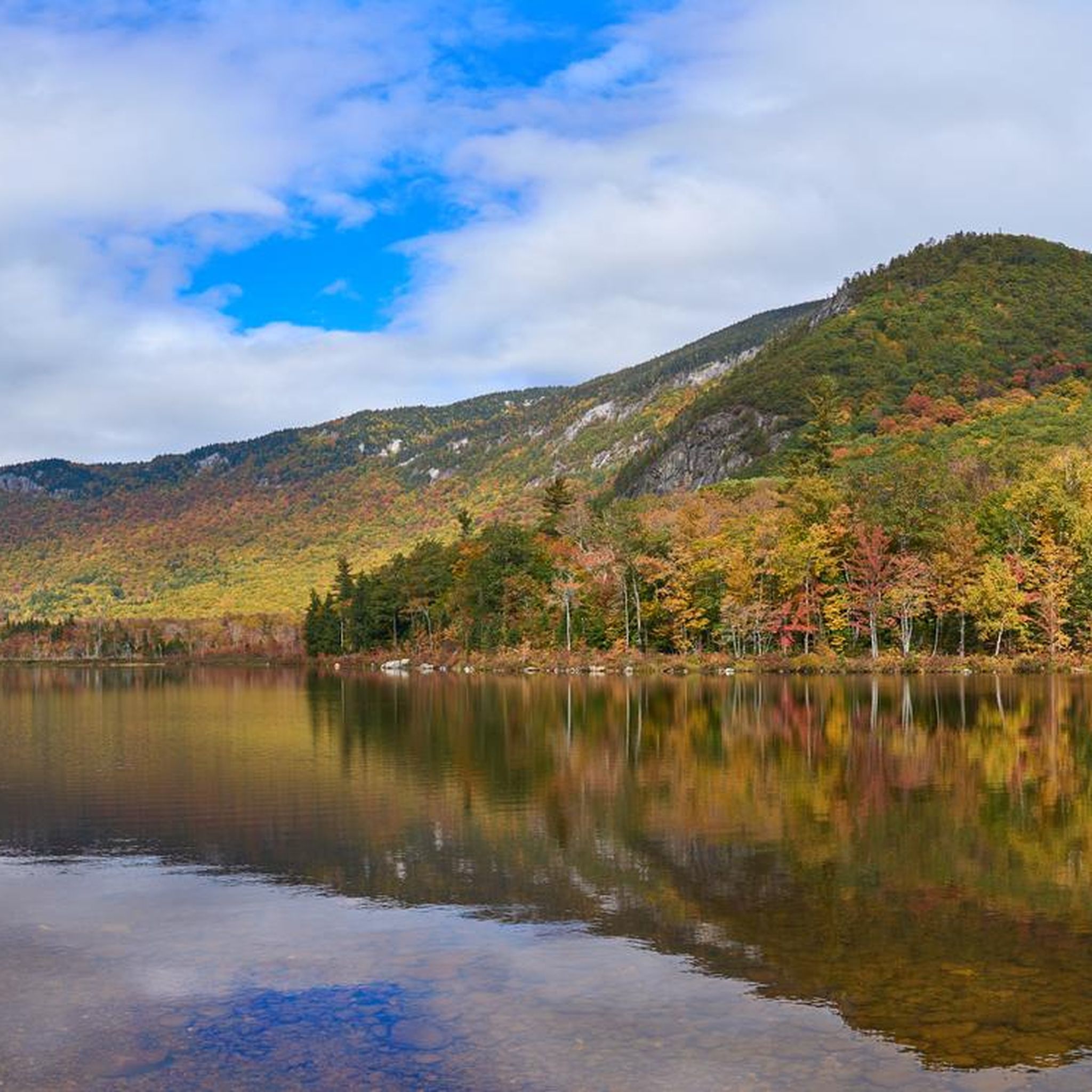
Caribou-Speckled Mountain Wilderness offers pristine landscapes with dense forests, crystal-clear lakes, and rugged peaks. This 14,000-acre expanse provides a haven for outdoor enthusiasts, featuring diverse ecosystems, hiking trails, and opportunities for wildlife observation in a serene, remote setting.

0

0

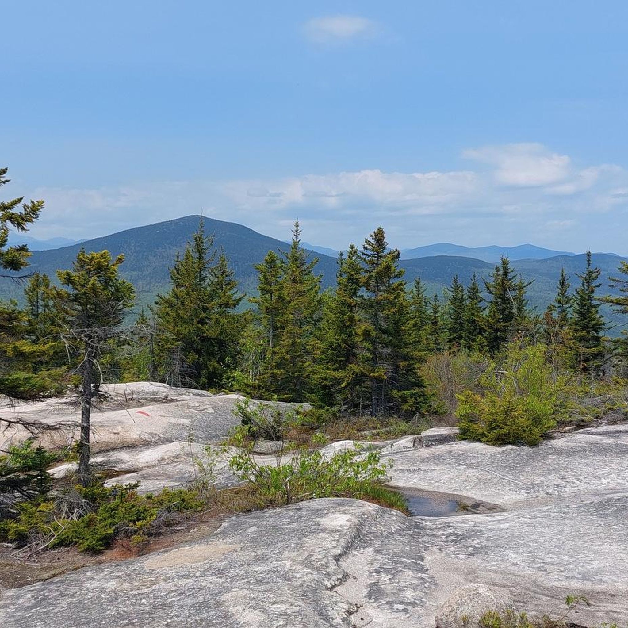
The Ledges Trail is the main path utilized for summiting Pleasant Mountain. The Ledges Trail is the shortest and most direct route to the top, but it is also the steepest trail. It's really rewarding once you finally make it up to the ridge.

0

0

Pleasant Mountain is an isolated, lengthy mountain mass that stretches about 4 miles on the north-south line of Bridgton and Denmark. The main summit is open and filled with ledges, which are typical in a very granite heavy state.

0

0

At 1,575 feet, the North Peak of the Burnt Meadow Mountains is not the highest peak in the state, but it offers panoramic views and is well worth the challenge. You can run a loop trail that passes right over the top of the summit.

0

0

Puzzle Mountain reaches up to an elevation of 3,133 and offers great views of the surrounding Mahoosuc valleys. The summit viewpoint is situated right next to the main intersection of the Grafton Loop Trail and the Woodsum Spur Trail.

0

0

Matthew
December 13, 2023, Grafton Loop Trail

The Grafton Loop Trail totals 39 miles and is the ultimate off-road loop route in the Mahoosuc Mountains. The trail passes through different nature preserves, wildlife areas, and parks, and it shows off the beauty that you can find is this part of Maine. The trail has a bunch of different trail heads, so you don't have to try to run the entire 39 miles at once.

0

0

Old Speck Mountain is part of the 4,000-foot club, reaching up to 4,170 feet. The mountain is covered in trees, but you can walk up an old fire tower on the summit that offers unobstructed 360 degree views. On a clear day you can see Speck Pond 1,000 feet down below from the tower.

0

0

Frequently Asked Questions

What kind of terrain can I expect on running trails in Oxford County, Maine?

Running routes in Oxford County, Maine, are known for their rugged and challenging terrain. You can expect significant elevation changes, steep climbs, and varied surfaces through dense forests and mountainous landscapes. Many trails offer panoramic views from peaks and ridges, providing a vigorous outdoor experience.

Are there running routes suitable for all fitness levels in Oxford County?

Yes, while Oxford County is renowned for its challenging mountain trails, there are options for various ability levels. The region offers routes ranging from moderate runs, such as the Mount Will Trail, to difficult ascents like the Puzzle Mountain via Woodsum Spur Trail & Grafton Loop Trail, which features substantial elevation gain.

Can I find any waterfalls along the running routes in Oxford County?

Absolutely! Oxford County is home to several beautiful waterfalls. You can explore areas like Grafton Notch State Park, which features picturesque falls such as Screw Auger Falls and the more secluded Dunn Falls. Other notable waterfalls include Step Falls Preserve and Mother Walker Falls.

What kind of scenic views can I expect on these running trails?

Many running routes in Oxford County offer breathtaking panoramic views. Trails often lead to mountain summits and ridges, providing expansive vistas of the surrounding White Mountains, dense forests, and river valleys. For instance, the Caribou and Mud Brook Trail Loop offers stunning summit views.

Are there family-friendly running options in Oxford County?

For families looking for less strenuous options, trails with moderate difficulty and flatter sections are available. While many routes are challenging, some areas offer gentler paths suitable for a family outing. The Bethel Pathway is a moderate route with minimal elevation gain, making it a good choice for a family run.

Are the running trails in Oxford County dog-friendly?

Many trails in Oxford County, Maine, are generally dog-friendly, allowing you to bring your canine companion along for a run. However, it's always recommended to check specific trail regulations or park rules before heading out, as leash requirements or restrictions may apply in certain areas. The region's natural preserves often welcome leashed dogs.

When is the best time of year to go running in Oxford County?

The best time for running in Oxford County, Maine, typically spans from late spring through early autumn. During these months, the weather is generally mild, and the trails are free of snow and ice. Fall offers spectacular foliage, making it a particularly scenic time to run. Winter running is possible but requires appropriate gear for snow and ice.

Are there circular running routes available in Oxford County?

Yes, Oxford County offers several circular running routes that allow you to start and end at the same point. Examples include the Ledges and Bald Peak Trail Loop and the Eyebrow Trail Loop, which provide varied scenery without retracing your steps.

What do other runners say about the trails in Oxford County?

The running trails in Oxford County are highly regarded by the komoot community, with over 190 runners having explored the region. Users frequently praise the challenging nature of the routes, the stunning panoramic views from the summits, and the immersive experience of running through dense, rugged forests. The variety of terrain and the sense of accomplishment after completing a difficult ascent are often highlighted.

Are there any less-known or 'hidden gem' running trails in Oxford County?

While many trails are popular, the vastness of Oxford County's natural landscape means there are always opportunities to discover less-trafficked paths. Exploring areas within the White Mountains or along the Androscoggin River can lead to quieter, more secluded running experiences. Routes like the Southwest Ridge Trail offer a challenging yet rewarding experience away from the most crowded spots.

How many running routes are available in Oxford County?

There are over 40 dedicated running routes available in Oxford County, Maine, catering to a wide range of preferences and fitness levels. These routes traverse diverse landscapes, from river valleys to challenging mountain ascents.

Is parking generally available at trailheads for running routes?

While specific parking information varies by trailhead, many popular running routes and state parks in Oxford County, Maine, offer designated parking areas. It's advisable to check local park websites or trail guides for detailed parking instructions and any potential fees before you go, especially for more remote or popular locations.

Most popular routes in Oxford County

Hiking in Oxford County

Most popular attractions in Oxford County

Places to see

Store rating

Get inspired with the komoot mobile app

With a free komoot account, you can easily find, customize, and navigate endless outdoor adventures.

or

Join komoot Now

Store rating

Didn’t find what you were looking for?

Check out more Running Trails & Routes throughout Oxford County below and find the perfect route in your destination.

Caribou-Speckled Mountain WildernessGrafton Notch State ParkBethelFryeburg

Nearby adventure guides

Things to Do around Bethel

background

Get ready to conquer new peaks

Sign up for Free

Explore
RoutesRoute plannerFeaturesHikesMTB TrailsRoad cycling routesBikepackingSitemap
Download the app
Follow Us on Socials

© komoot GmbH

Privacy Policy