The best mountain hikes around Black Lake
4.7
(48)
261
hikers
13
hikes
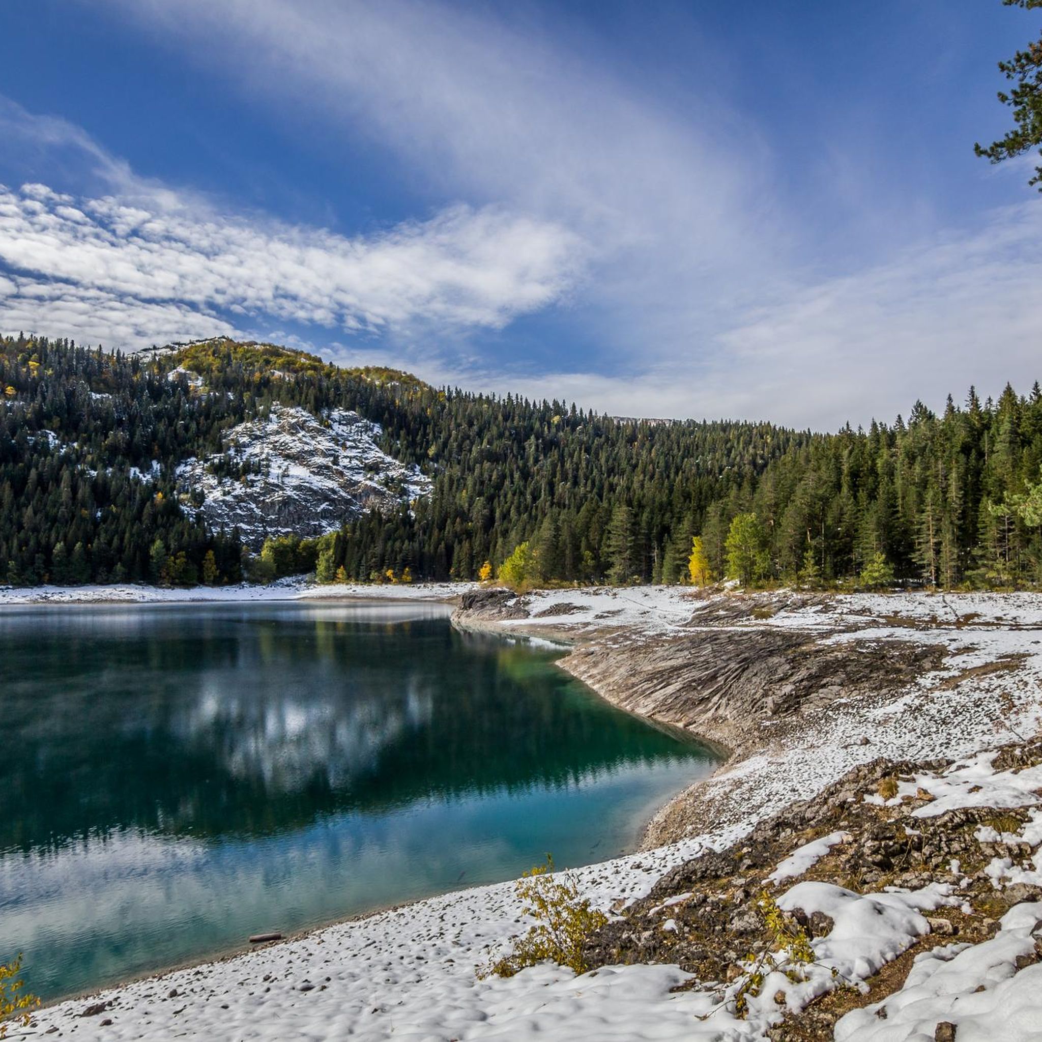
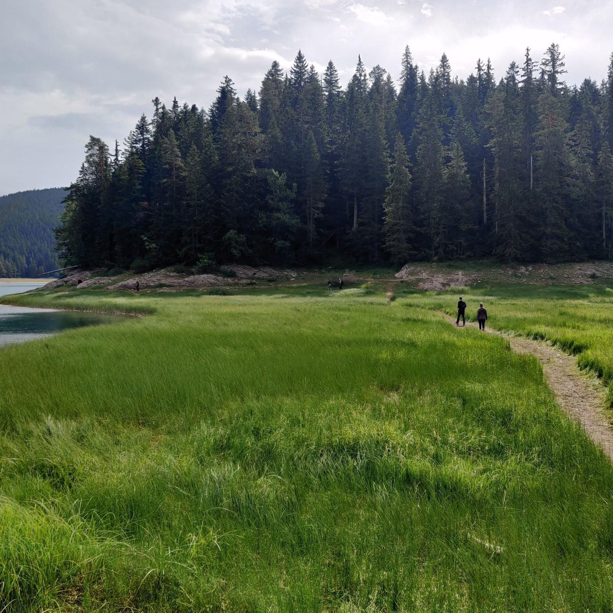
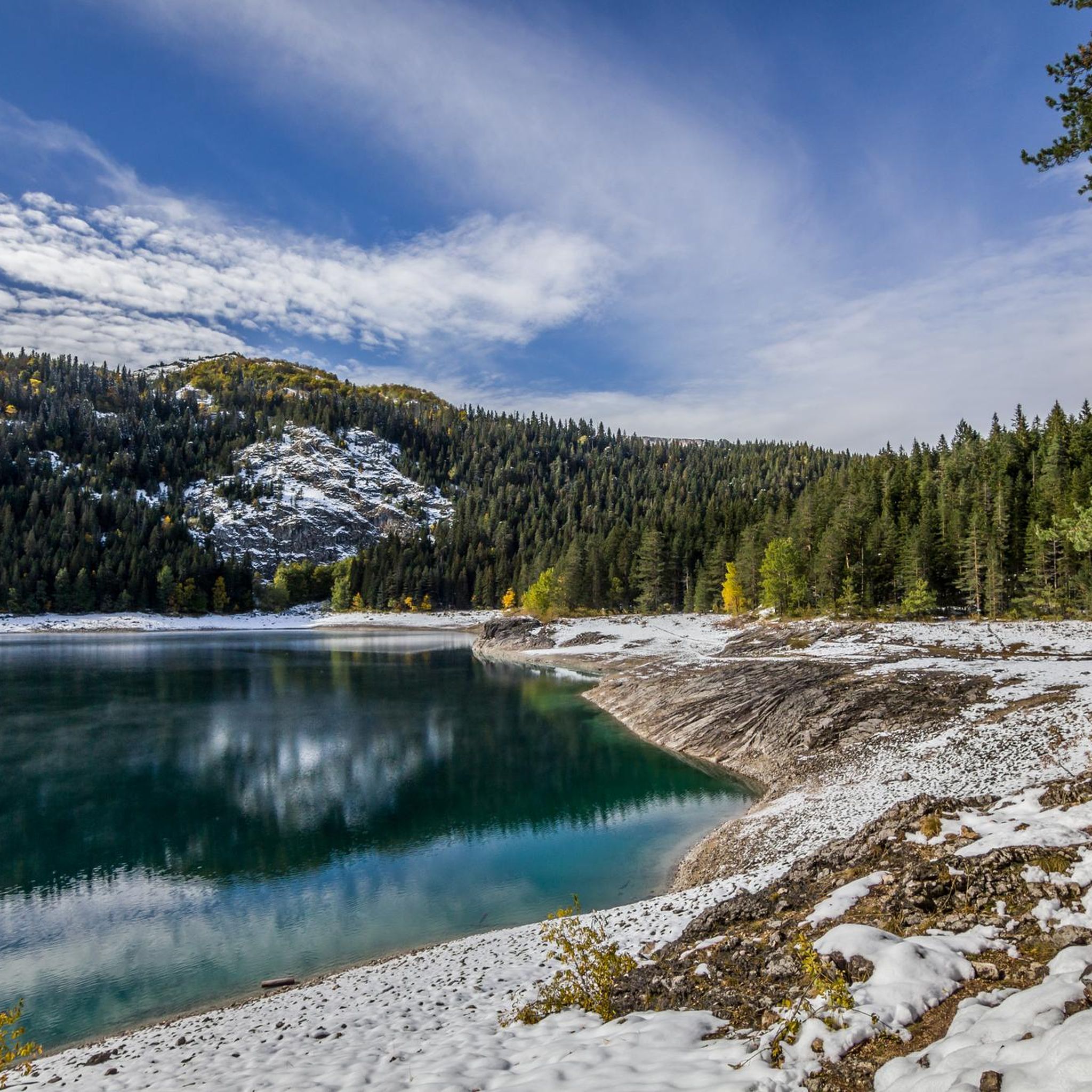
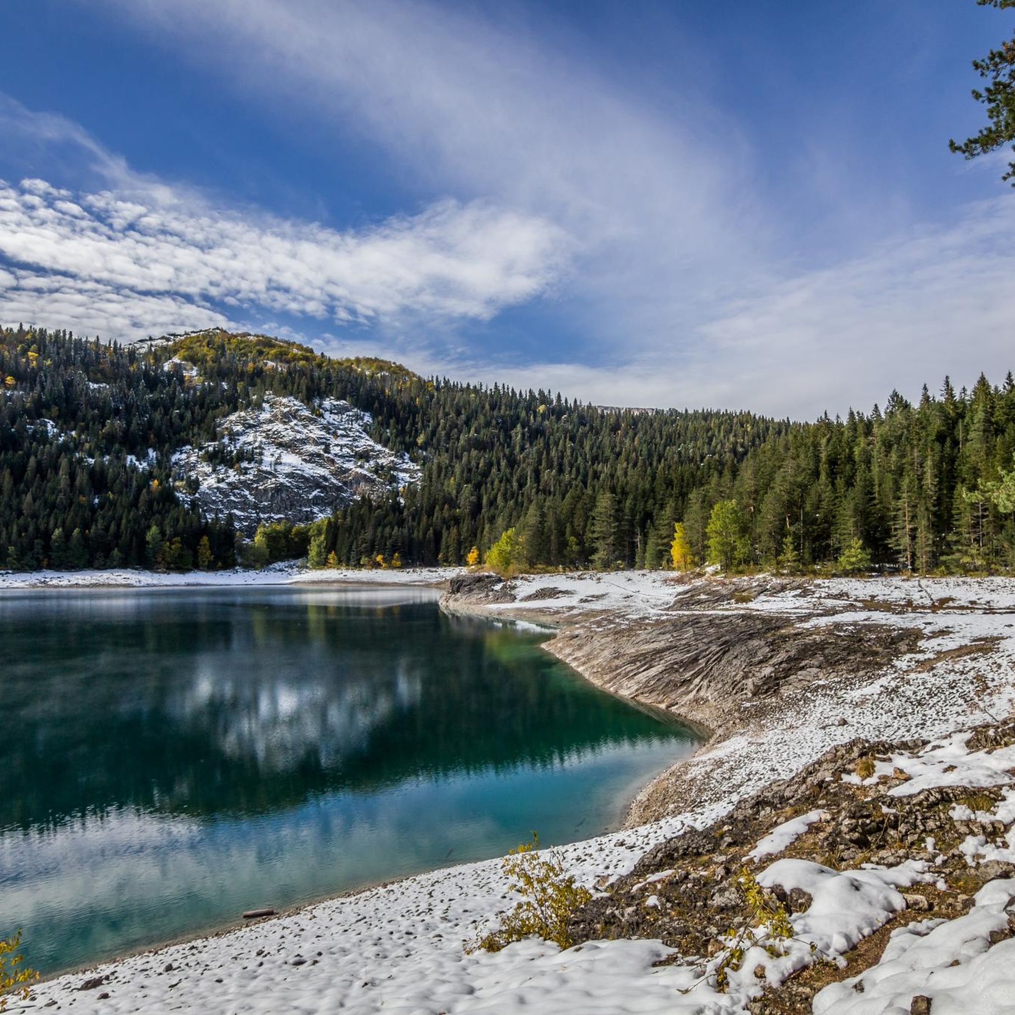
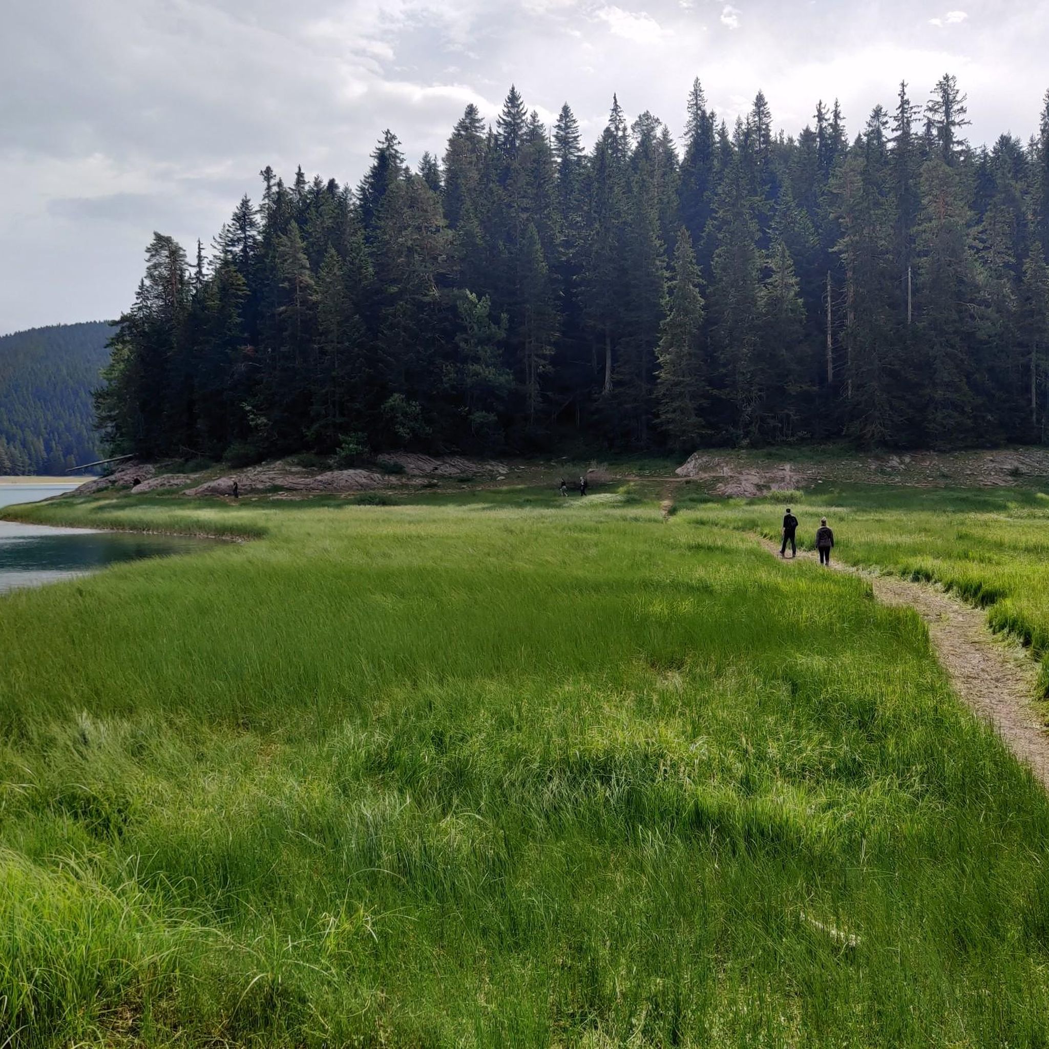
Mountaineering routes around Black Lake are situated within Durmitor National Park, characterized by its dramatic limestone peaks, deep canyons, and glacial lakes. The terrain offers a mix of dense coniferous forests, alpine meadows, and rugged, rocky ascents. Elevations vary significantly, providing diverse challenges for mountaineers.
Best mountaineering routes around Black Lake
- The most popular mountaineering route is Crno Jezero (Black Lake) – Crno Jezero (Black Lake) loop from Žabljak, an 8.7 miles (14.0 km) trail that takes 6 hours 32 minutes to complete. This difficult loop offers panoramic views of the lake and surrounding peaks.
- Another top favourite among local mountaineers is Crno Jezero (Black Lake) – Alisnica Pass loop from Žabljak, a difficult 10.0 miles (16.2 km) path. This route ascends towards Alisnica Pass, providing expansive mountain vistas and challenging ascents.
- Local mountaineers also love the Crno Jezero (Black Lake) – Ledina Cave loop from Žabljak, an 8.2 miles (13.2 km) trail leading through varied mountain terrain and past geological features, often completed in about 5 hours 26 minutes.
- Mountaineering around Black Lake is defined by glacial lakes, limestone peaks, and coniferous forests. The area offers a range of options, from challenging high-altitude ascents to routes exploring the lower mountain slopes.
- The routes in Black Lake are highly rated by the komoot community with an average score of 4.6 stars from over 40 reviews. More than 200 mountaineers have used komoot to explore Black Lake's varied terrain.
Last updated: October 11, 2026
4.4
(7)
14
hikers
14.0km
06:32
940m
940m
Hard mountaineering route. Very good fitness required. Sure-footedness, sturdy shoes and alpine experience required.
4.8
(5)
20
hikers
16.4km
05:30
710m
710m
Hard mountaineering route. Very good fitness required. Sure-footedness, sturdy shoes and alpine experience required.

4.5
(11)
27
hikers
13.6km
05:43
830m
830m
Hard mountaineering route. Very good fitness required. Sure-footedness, sturdy shoes and alpine experience required.
5.0
(1)
14
hikers
16.0km
07:18
1,160m
1,160m
Hard mountaineering route. Very good fitness required. Sure-footedness, sturdy shoes and alpine experience required.
4
hikers
13.4km
04:22
550m
550m
Moderate mountaineering route. Good fitness required. Easily-accessible paths. Suitable for all skill levels.
Get access to more routes and recommendations from other explorers.
Already have an account?
Our route recommendations are based on thousands of hikes, rides, and runs completed by other people on komoot.
Start today with a free account
Your next adventure awaits.
Tips from the Community


The accompanying page in the ARD media library for the television series "Treasures of the World – Heritage of Humanity" states: Rugged peaks marked by glaciers and karst formation, high alpine pastures, and primeval forests characterize a mountain landscape in the far north of the Republic of Montenegro: the Durmitor Massif. Nestled in the mountains are glacial lakes and karst gorges, springs and streams, and rivers roar in wild, inaccessible valleys. The name Durmitor likely originates from the Celtic language and means "Mountains of Many Waters." Interested viewers can access the corresponding film via the following link (duration: 15 minutes / language: German) =>> https://www.ardmediathek.de/video/schaetze-der-welt/nationalpark-durmitor-montenegro-folge-367/3sat/Y3JpZDovL3N3ci5kZS82NjM0ODA4
0
0

Scenic summit above the Medjed ridge — panoramic views across Durmitor. Exposed sections with chains on the way, recommended only in stable, dry weather.
0
0

The ridge section north of this is actually forbidden, but since we approached from the north we only saw this sign after completing the ridge.
0
0
We went to the right here (assuming you are walking uphill). However this part of the ridge crossing is quite challenging and it turned out later that this particular part of the ridge is forbidden. The safer option is to go left here, and skip this part of the ridge.
0
0

From the picture you can easily see how steep it is here. The rock is also not that stable and you have to be careful where you walk so that no rocks fall down. But it still happens. That's why you should wear a helmet. If there are too many people around, it's better to wait a bit and keep your distance. The route is fun and not that easy.
4
0
After the strenuous hike to the summit, you can enjoy the wonderful view and chat with other tourists. The last 200-300 meters are steep and you have to climb before you reach the summit. The path is secured with ropes in some places. You don't need any special equipment, but a helmet is really recommended because stones and other objects fall from above. There may be a lot of people here and there may be queues.
7
0
Here you can take a short break to enjoy the great view of the lake and the surrounding area. Then comes the final push to the summit, where you have to climb.
4
0
Frequently Asked Questions
What is the general difficulty level of mountaineering routes around Black Lake?
The mountaineering routes around Black Lake primarily cater to experienced hikers, with 9 out of 13 routes rated as difficult. There are also 3 moderate routes and 1 easier option available for those looking for less strenuous ascents. The terrain often involves rugged, rocky ascents and significant elevation changes within Durmitor National Park.
What are the typical lengths and durations of mountaineering routes in this area?
Mountaineering routes around Black Lake vary in length and duration. For instance, the Crno Jezero (Black Lake) – Alisnica Pass loop from Žabljak is about 16.2 km (10.0 miles) and typically takes around 5 hours 25 minutes. Another challenging option, View of Veliko Skrčko Jezero – Via Ferrata Before Bobotov Kuk loop from Žabljak, covers approximately 15.6 km (9.7 miles) and can take over 7 hours to complete due to its significant elevation gain.
Are there any routes suitable for beginner mountaineers around Black Lake?
While many routes are challenging, there are options for beginners. The area offers one route classified as easy and three as moderate. These routes typically involve less elevation gain and shorter distances, providing a good introduction to the region's mountain environment without the extreme demands of the more difficult ascents. Consider starting with the general trails around the lake itself before venturing into higher mountain paths.
What are some challenging routes for experienced mountaineers in the Black Lake area?
Experienced mountaineers will find plenty of challenging options. Beyond the popular routes, consider the View of Veliko Skrčko Jezero – Via Ferrata Before Bobotov Kuk loop from Žabljak, which features significant elevation gain and a via ferrata section. Another demanding route is the Medjed Saddle (2,150 m) – Medjed Saddle loop from Žabljak, offering a strenuous climb to a high saddle with panoramic views.
Is parking available near the Black Lake mountaineering trails?
Yes, parking is generally available near the entrance to Durmitor National Park, close to Black Lake and the town of Žabljak. There is typically a designated parking area, which may require a fee as it is within a national park. From these parking areas, you can access various trailheads leading to the mountaineering routes.
Do I need permits or pay an entrance fee for mountaineering in Durmitor National Park?
Yes, as Black Lake is located within Durmitor National Park, an entrance fee is required to access the park. This fee contributes to the maintenance and protection of the park's natural environment. Specific permits for individual mountaineering routes are generally not required beyond the park entrance fee, but it's always advisable to check with the park authorities for any current regulations.
What is the best time of year for mountaineering around Black Lake?
The best time for mountaineering around Black Lake is typically from late spring to early autumn (May to October). During these months, the weather is generally more stable, trails are clear of snow, and temperatures are pleasant. July and August are the warmest and most popular months, but also the busiest. For fewer crowds and vibrant autumn colors, September and early October are excellent choices.
Are there any circular mountaineering routes around Black Lake?
Yes, many of the mountaineering routes around Black Lake are designed as loops, allowing you to start and finish in the same location, often Žabljak. A prominent example is the Crno Jezero (Black Lake) – Crno Jezero (Black Lake) loop from Žabljak, which offers a comprehensive tour of the lake and surrounding peaks. Another is the Crno Jezero (Black Lake) – Ledina Cave loop from Žabljak, which explores varied mountain terrain.
What interesting sights or landmarks can I see along the mountaineering routes?
The mountaineering routes around Black Lake offer numerous natural attractions. You can explore different parts of the lake, such as The second lake or the Passage from Small to Large Black Lake. Many trails also feature stunning viewpoints like the Steep ascent, offering expansive vistas of the Durmitor peaks and glacial landscapes. The area is rich in natural beauty, from dense forests to alpine meadows.
What do other mountaineers enjoy most about the routes in Black Lake?
The mountaineering routes in Black Lake are highly rated by the komoot community, with an average score of 4.6 stars from over 40 reviews. Reviewers often praise the dramatic limestone peaks, the serene beauty of the glacial lakes, and the diverse challenges offered by the terrain. Many appreciate the well-maintained trails and the opportunity to experience the rugged wilderness of Durmitor National Park.
Are there any wild swimming spots near the mountaineering trails?
Black Lake itself is a popular spot for swimming, especially during the warmer summer months. While not directly on every mountaineering trail, the lake is easily accessible from Žabljak and serves as a refreshing reward after a long hike. Always check local regulations regarding swimming in specific areas within the national park.
Are there any cafes or refreshment points near the Black Lake mountaineering trails?
Yes, near Black Lake, particularly close to the main entrance from Žabljak, you will find a few cafes and restaurants. These establishments offer refreshments, snacks, and meals, making them convenient stops before or after your mountaineering adventures. However, once you venture onto the higher mountain trails, facilities become scarce, so it's essential to carry sufficient supplies.
Most popular routes around Black Lake
Most popular attractions around Black Lake

Get inspired with the komoot mobile app


Explore more
Browse the best Mountain Hikes & Routes in other regions.
