The best running trails in Hood River County
5.0
(2)
378
runners
65
runs
Jogging in Hood River County offers diverse terrain, shaped by the dramatic Columbia River Gorge, the majestic Mount Hood, and the fertile Hood River Valley. The region features extensive forested areas, including parts of Mount Hood National Forest, alongside the Hood River and its tributaries. This varied landscape provides a range of running experiences, from riverside paths to challenging mountain trails.
Best jogging routes in Hood River County
- The most popular jogging route is Historic Columbia River Highway State Trail, a 8.9 miles (14.3 km) trail that takes 1 hour 37 minutes to complete. This difficult route offers stunning river views and passes through historic tunnels.
- Another top favourite among local runners is Waterfront Park, an easy 2.7 miles (4.3 km) path. This route provides scenic views of the Columbia River and surrounding mountains on mostly paved surfaces.
- Local runners also love the Indian Creek Trail, a 2.6 miles (4.2 km) trail leading through the lower Hood River Valley, often completed in about 32 minutes.
- Jogging in Hood River County is defined by the Columbia River Gorge, Mount Hood, and extensive forests and rivers. The network offers options for all ability levels, from easy paved paths to difficult mountain trails.
- The routes in Hood River County are highly rated by the komoot community with an average score of 5.0 stars from more than 3 reviews. More than 300 runners have used komoot to explore Hood River County's varied terrain.
Last updated: October 10, 2026
36
runners
14.3km
01:38
370m
370m
Embark on the Historic Columbia River Highway State Trail for a challenging jogging experience that rewards you with expansive views of the Columbia River Gorge. This difficult route spans 8.9 miles (14.3 km) and involves a significant elevation gain of 1228 feet (374 metres), typically taking about 1 hour and 37 minutes to complete. As you jog, you will pass through lush forests that transition into more arid landscapes, all while enjoying the majestic river below and the unique framed vistas offered by the Mosier Twin Tunnels.
When planning your visit, be aware that the trail is primarily paved, built on sections of the original historic highway, making it generally smooth underfoot. However, you should be prepared for moderately steep grades that can reach up to 15% in certain areas, adding to the route's difficult rating. While many parts are universally accessible, the overall challenge requires very good fitness for joggers. Consider starting early to enjoy cooler temperatures and fewer crowds, especially during peak seasons.
This historic route is part of an ongoing project to restore and reconnect sections of the original scenic Columbia River Highway, allowing you to jog on a path steeped in history. The trail's design offers a unique blend of natural beauty and engineering marvel, providing insights into early 20th-century road building. It stands out in the region for its commitment to preserving both the natural landscape and the historical significance of this iconic roadway.
29
runners
4.29km
00:28
10m
10m
Embark on an easy jogging route at Waterfront Park, covering 2.7 miles (4.3 km) with a gentle elevation gain of 31 feet (9 metres). This flat, paved path along the Columbia River is perfect for a 27-minute run, offering expansive views across the water. You will experience a refreshing atmosphere as you move, with the river always in sight. The trail provides a consistent, smooth surface, making your jog comfortable and accessible. Observe the active river scene, where you might spot various water sports taking place against the backdrop of distant peaks.
Accessing Waterfront Park is straightforward, as it is conveniently located near downtown Hood River. You will find several parking lots in the vicinity, making it easy to start your jog. This central location ensures that you can quickly reach the trailhead without extensive travel. Consider visiting during the early morning or late afternoon for a more serene experience and cooler temperatures. The trail is open year-round, allowing you to enjoy its benefits in any season.
This trail is a notable feature of the Hood River area, providing a direct connection to the Columbia River's natural beauty. It stands out for its accessibility and the consistent opportunity to view local wildlife, such as various bird species. The park serves as a gateway to understanding the region's unique ecosystem, where the river meets the surrounding landscape. Its proximity to the town also means you can easily combine your jog with other local attractions.

16
runners
19.6km
03:31
1,500m
1,500m
Hard run. Very good fitness required. Mostly accessible paths. Some sure footedness required.
4
runners
7.35km
01:01
260m
260m
Moderate run. Good fitness required. Mostly paved surfaces. Suitable for all skill levels.
5
runners
4.19km
00:32
100m
100m
Lace up your shoes for a refreshing jogging experience on the Indian Creek Trail, a moderate route nestled within the scenic Columbia River Gorge. This trail offers a quick escape into nature, where you can enjoy the sounds of the forest and glimpses of the surrounding hills. You'll cover 2.6 miles (4.2 km) and gain 338 feet (103 metres) in elevation, making it a good workout. Expect to complete this invigorating jog in about 32 minutes, surrounded by lush greenery.
Planning your visit to the Indian Creek Trail is straightforward, as the route is generally accessible. You should find parking available conveniently close to the trailhead, making it easy to start your jog. Before heading out, it's always a good idea to check local conditions, as seasonal changes can sometimes affect trail access or your comfort. There are no specific permits or fees mentioned for using this route, so you can enjoy it freely.
This trail is situated within the broader Columbia River Gorge National Scenic Area, a region renowned for its natural beauty and diverse ecosystems. While specific details for this particular segment are not highlighted, the area is known for its rich flora and fauna, offering a classic Pacific Northwest outdoor experience. The Indian Creek Trail provides a compact yet fulfilling opportunity to immerse yourself in this iconic landscape, perfect for a quick burst of activity.
3
runners
11.2km
01:35
400m
400m
Hard run. Very good fitness required. Mostly paved surfaces. Suitable for all skill levels.
3
runners
6.83km
00:59
280m
280m
The Herman Creek Trail #406 offers a deep dive into one of the Columbia Gorge's most impressive old-growth forests, making it a standout jogging route for those seeking natural beauty and a good workout. You'll traverse varied terrain, from shaded logging roads to narrower dirt paths, surrounded by majestic fir, cedar, and hemlock trees. The constant sound of Herman Creek accompanies you, and you might even spot the 100-foot waterfall or the moss-carpeted creeks mentioned in trail reports. This route is a rewarding experience for joggers who appreciate a challenging, scenic journey.
Planning your visit to the Herman Creek Trailhead is straightforward, though arriving early is always a smart move, especially on busy days. This moderate 4.2-mile (6.8 km) jogging route involves a significant 909 feet (277 metres) of elevation gain, which you'll cover in about 59 minutes. Be prepared for continuous uphill sections, particularly in the first 1.2 miles, and ensure you wear sturdy shoes for the potentially rocky and uneven terrain. While this specific section doesn't typically require special permits, it's always wise to check for any updates before you go.
What truly sets the Herman Creek Trail apart is its preservation of a vast old-growth forest ecosystem within the Columbia Gorge, offering a unique glimpse into ancient woodlands. It's also a less crowded starting point compared to some other popular Gorge trails, providing a more serene experience. The trail offers opportunities for longer adventures, connecting to other routes like the Pacific Crest Trail, and leads to destinations such as the sub-alpine Wahtum Lake for those looking to extend their journey beyond this initial section.
2
runners
4.12km
00:28
100m
100m
The Historic Columbia River Highway State Trail offers a delightful experience for runners, blending a sense of history with the natural beauty of the Columbia River Gorge. This particular segment provides a moderate challenge, with 339 feet (103 metres) of elevation gain over 2.6 miles (4.1 km), making it an ideal choice for a focused workout or a quick, invigorating run that takes approximately 27 minutes. You'll find yourself on a paved section of the historic highway, surrounded by the lush landscape that defines this iconic Oregon region. It's a great way to explore the area on foot, offering a glimpse into the past while enjoying the present-day scenery. The trail is well-maintained and suitable for a variety of fitness levels, providing a rewarding experience without being overly demanding.
Accessing this section of the Historic Columbia River Highway State Trail is generally convenient, with various points along the route offering entry. While specific parking information isn't detailed, you can typically find parking at designated trailheads or nearby state parks. It's always a good idea to arrive early, especially on weekends, to secure a spot. The trail is accessible year-round, though conditions can vary with the seasons; always check the local forecast before you go. This route is perfect for those seeking a quick escape into nature without venturing too far off the beaten path, and it's a popular choice for local joggers.
This trail segment is part of the larger Historic Columbia River Highway, often referred to as the "King of Roads" for its pioneering engineering and stunning views. It was the first scenic highway in the United States, designed to showcase the natural wonders of the Columbia River Gorge. Running on this trail connects you directly to that legacy, offering a unique blend of historical significance and outdoor recreation. The route provides a fantastic opportunity to experience the natural beauty of Hood River County, with its dramatic cliffs and verdant forests, all while enjoying a moderate physical activity. It's a testament to early 20th-century road building and a beloved resource for today's outdoor enthusiasts.
2
runners
7.87km
01:08
310m
310m
Prepare for a challenging jogging experience on the Elk Meadows Trail, a difficult route covering 4.9 miles (7.9 km) with a significant elevation gain of 1032 feet (314 metres). You can expect to complete this in about 1 hour and 8 minutes. The trail begins with a gentle incline, soon transitioning into a steep ascent through dense old-growth forests, marked by switchbacks. As you progress, you will cross creeks like Newton Creek and Clark Creek, which might require careful navigation. The reward for your effort is reaching the expansive alpine meadows, offering a stunning view of Mount Hood, particularly vibrant when wildflowers bloom from July through August.
The trailhead for Elk Meadows Trail is easily accessible, situated conveniently near Mount Hood Meadows. When planning your visit, be aware that Newton Creek is not bridged, so its crossing difficulty can change depending on water levels. If you plan to camp, you are welcome to set up your tent in the forested areas surrounding the meadow. However, please help protect the delicate ecosystem by avoiding camping directly within the fragile meadow itself.
This trail stands out for its journey through diverse ecosystems, from the lower forested slopes to the high alpine meadows. It offers a unique opportunity to experience the transition zones of Mount Hood National Forest. The route provides a clear sense of progression as you ascend, culminating in the open expanse of Elk Meadows. This makes it a notable option for those seeking a vigorous workout combined with a rewarding natural landscape.
1
runners
9.86km
01:25
390m
390m
Prepare for a challenging jogging experience on the Bald Mountain from Lolo Pass Trail. This difficult route spans 6.1 miles (9.9 km) and features a significant elevation gain of 1292 feet (394 metres), typically taking around 1 hour and 24 minutes to complete. You will navigate varied terrain, starting on a well-maintained dirt path that follows the Pacific Crest Trail before entering a dense forest. The highlight is undoubtedly the spectacular, upfront views of Mount Hood that unfold from various points, culminating in panoramic vistas from the summit of Bald Mountain itself.
When planning your visit, be aware that while much of the trail is suitable for tennis or hiking shoes, the final push to the summit is an unmarked, steeper section. This part may present downed trees and requires more careful navigation, so come prepared. The trail is generally less crowded than other popular options in the area, offering a more serene experience. For an added treat, consider visiting in mid to late summer when abundant huckleberries can be found along the route.
Beyond the physical challenge, the trail offers a chance to immerse yourself in the natural beauty of Mount Hood National Forest. In early summer, you might encounter vibrant rhododendrons blooming, adding splashes of color to the landscape. The journey to Bald Mountain provides a unique perspective of the region, making it a notable choice for those seeking a rewarding and scenic jogging adventure away from the busiest paths.
Get access to more routes and recommendations from other explorers.
Already have an account?
Our route recommendations are based on thousands of hikes, rides, and runs completed by other people on komoot.
Start today with a free account
Your next adventure awaits.
Popular around Hood River County
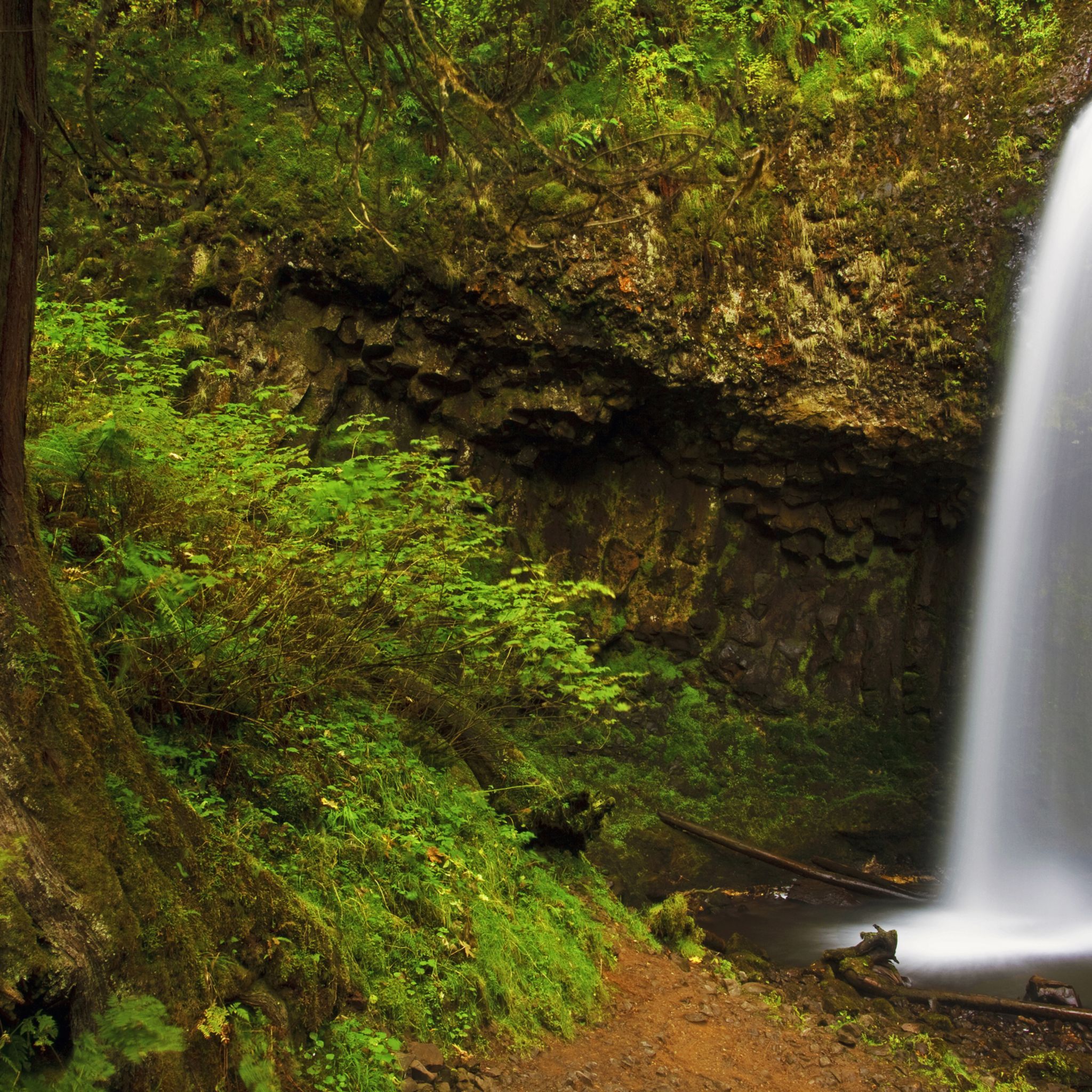
Running Trails in Columbia River Gorge National Scenic Area
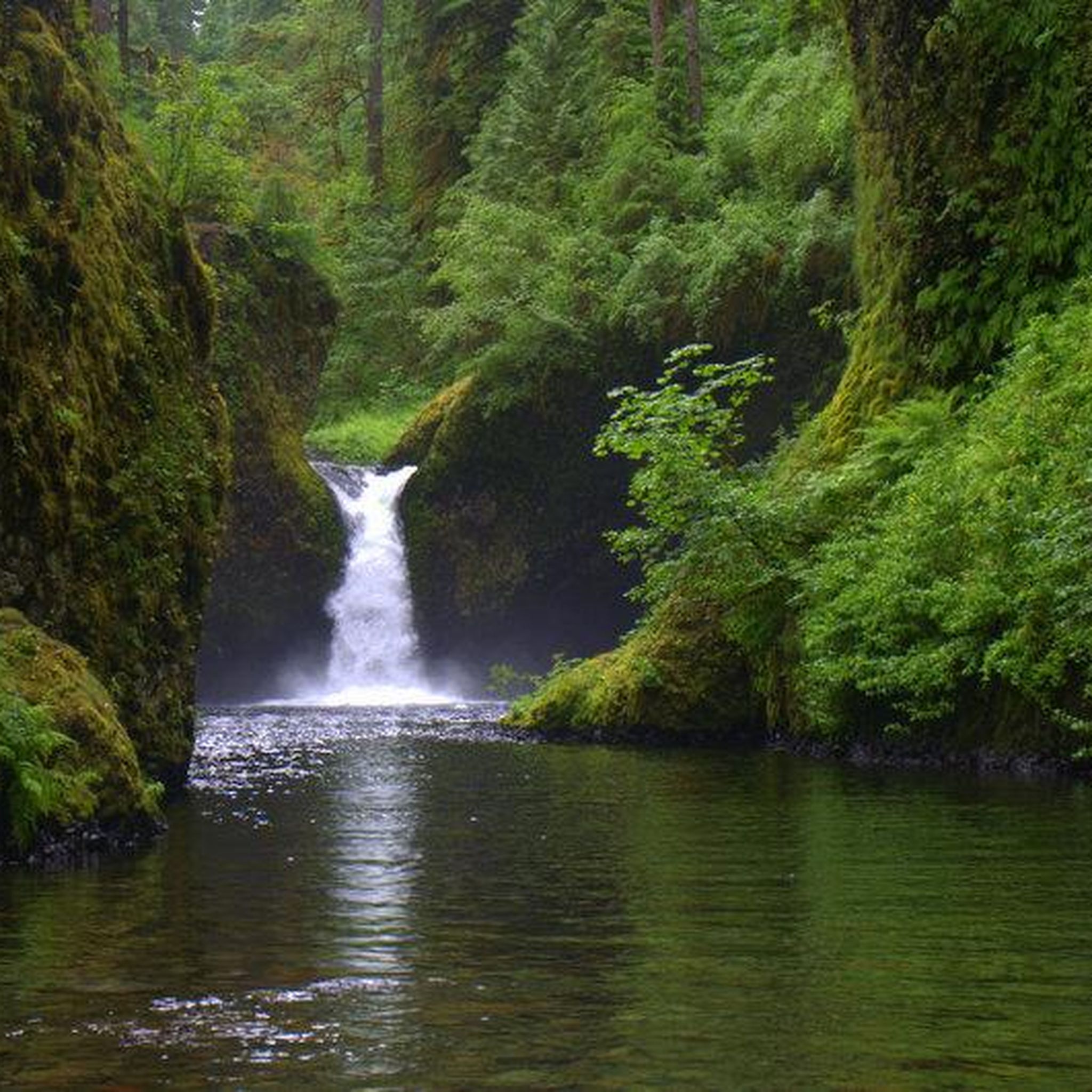
Running Trails in Mark O. Hatfield Wilderness
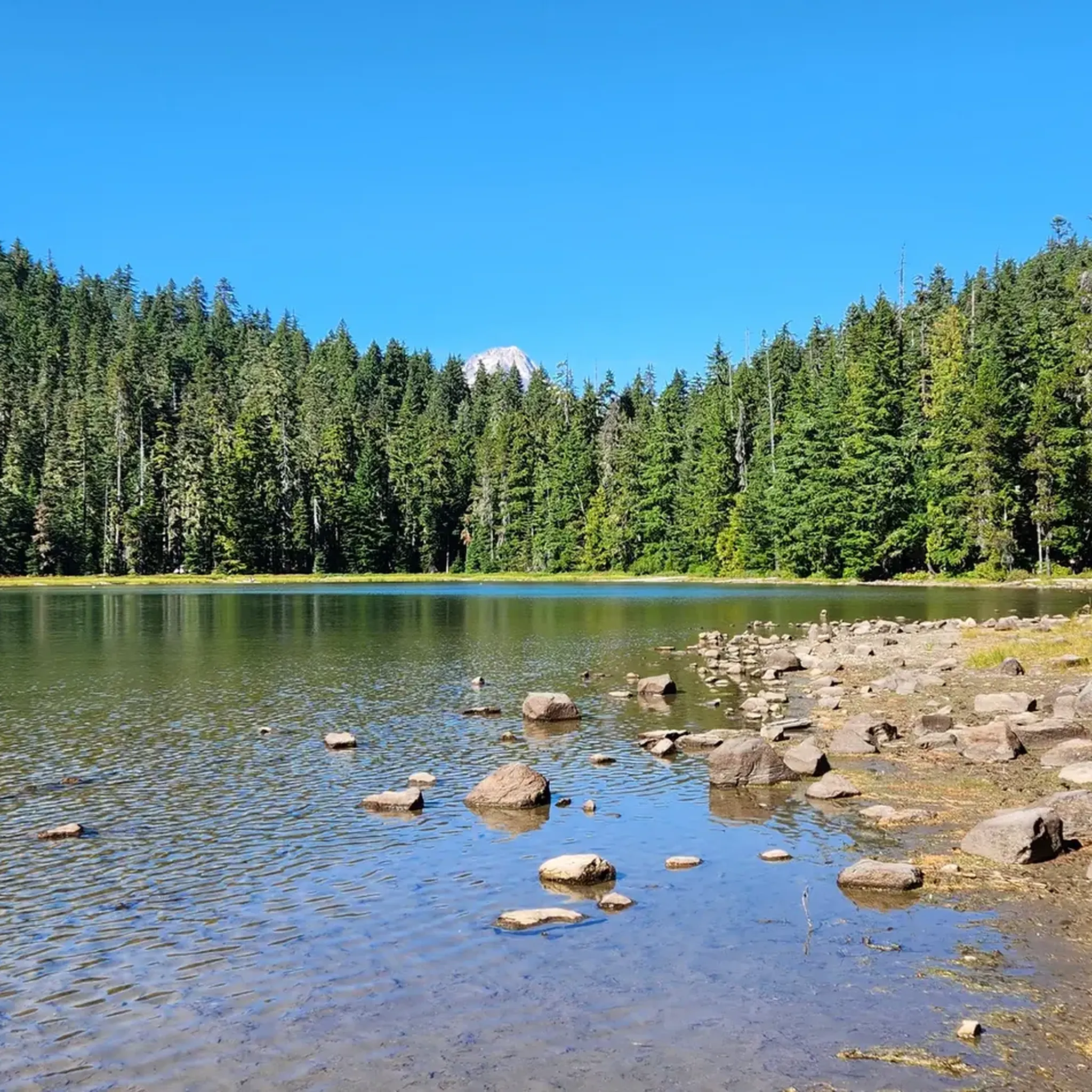
Running Trails in Mount Hood National Recreation Area
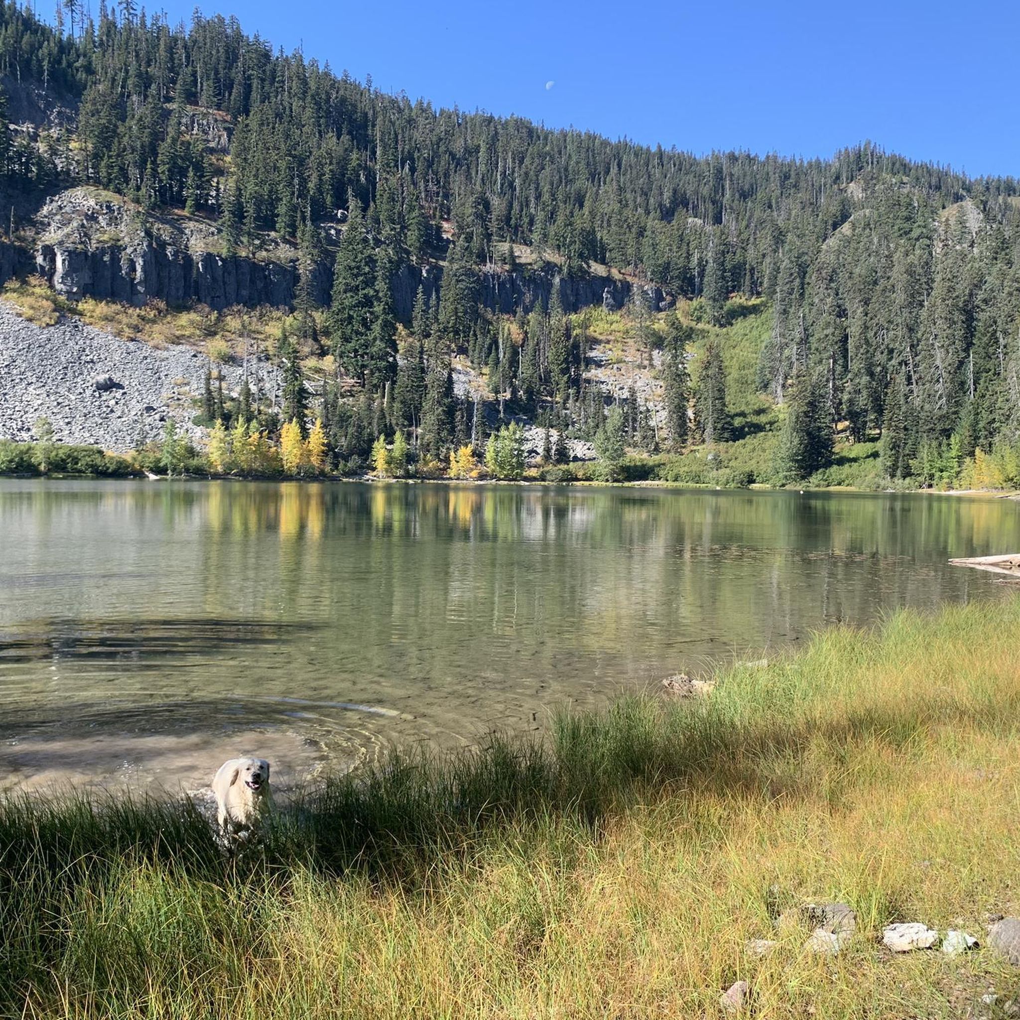
Running Trails in Badger Creek Wilderness
Running Trails around Cascade Locks
Running Trails around Hood River

Running Trails around Odell

Pacific Crest Trail from Mexico to Canada – 4,200 kilometres of wilderness
Timberline Trail — A Scenic Mount Hood Adventure
Like in the Wild West – hiking on the Oregon Trail
Other adventures in Hood River County


Tips from the Community

Sahale Falls cascade down the slopes of Mt. Hood and can be seen via a hike or from right here on the highway! The water comes from the East Fork of the Hood River. The falls drop 64 feet down the back of a verdant grotto, with 4 more feet and 10 feet immediately downstream. The waterfalls are a great photo opportunity that should not be missed!
0
0

The Historic Columbia River Highway State Trail consists of a few sections of path connected via parks and city streets. This section is a continuous paved path with access to a number of other trails branching off from the main trail once entering Viento State Park and Starvation Creek State Park.
0
0

Stand anywhere in the Elk meadows, and you'll have a delightful view of Mount Hood. Here, you'll also find the Elk Meadows Shelter and campsite.
0
0

Lindsey Creek to Viento State Park section of the Historic Columbia River Highway State Trail. The path is completely paved and off-road, so it is a great place for a run. The trail is also popular with cyclist, so you should be aware of other path users.
0
0

This trail is really something special. From an old highway under many old bridges, a cycling and running route was created that is second to none. The view of the Columbia River is breathtakingly beautiful! If you're in the area, you definitely don't want to miss this one!
0
0
A great paved route and, above all, an absolute historical highlight. We walked and cycled back and forth several times because we found the route breathtakingly beautiful.
0
0
This section of the Historic Columbia River Highway State Trail is loved for its great views of the Columbia River and the restored Mosier Twin Tunnels. The tunnels were filled with rocks when the interstate was open to replace the highway, but luckily it was possible to restore and reopen the tunnels.
0
0
Waterfront Park is a beautiful park right on the banks of the Columbia River. There are great views across the river to the mountains in Washington. The park also has a beach and picnic areas.
0
0
Frequently Asked Questions
How many running routes are available in Hood River County?
Hood River County offers a wide variety of running experiences, with over 60 routes documented on komoot. These range from easy paved paths to challenging mountain trails, catering to all fitness levels.
Are there any easy running routes suitable for beginners or a relaxed jog?
Yes, for an easy and scenic run, consider the Waterfront Park route. It's a 2.7-mile (4.3 km) paved path offering beautiful views of the Columbia River and surrounding mountains with minimal elevation gain. Another great option is the Indian Creek Trail, a 2.6-mile (4.2 km) dirt/gravel path winding through the lower Hood River Valley.
What are some challenging running trails for experienced runners?
For those seeking a challenge, the Mount Defiance Trail — Columbia River Gorge is a demanding 12.2-mile (19.6 km) route with significant elevation gain. Another difficult option is the Elk Meadows Trail in Mount Hood National Forest, which is 4.9 miles (7.9 km) and features over 1,000 feet of elevation gain.
Can I find running routes with waterfalls or scenic views in Hood River County?
Absolutely! The region is rich with natural beauty. The Umbrella Falls & Sahale Falls – Mount Hood National Forest route offers stunning waterfall views. Many trails along the Columbia River Gorge, such as the Historic Columbia River Highway State Trail, provide dramatic river vistas and pass through historic tunnels.
Are there any family-friendly running paths in the area?
Yes, the Waterfront Park route is ideal for families due to its mostly paved, flat surfaces and scenic views of the Columbia River. It's an easy 2.7-mile (4.3 km) path suitable for all ages.
What are the best times of year to go running in Hood River County?
The spring, summer, and fall months generally offer the most pleasant conditions for running in Hood River County. Spring brings blooming orchards, summer provides warm weather for riverside paths, and fall showcases vibrant foliage. While winter running is possible, higher elevation trails may be snow-covered, requiring appropriate gear and caution.
Are there any running routes that offer views of Mount Hood?
Yes, several routes provide spectacular views of Mount Hood. The Bald Mountain from Lolo Pass Trail is a challenging route within Mount Hood National Forest that offers stunning vistas of the mountain. The Elk Meadows Trail also provides excellent views.
What do other runners say about the trails in Hood River County?
The running routes in Hood River County are highly regarded by the komoot community, with an average rating of 5.0 stars from over 3 reviews. Runners frequently praise the diverse terrain, from riverside paths to challenging mountain trails, and the stunning natural beauty of the Columbia River Gorge and Mount Hood.
Are there any lakes or natural attractions near the running trails?
Yes, Hood River County is home to several beautiful lakes and natural features. You can find highlights like Wahtum Lake and Lost Lake. The Lost Lake Butte – Mount Hood National Forest route, for example, takes you near Lost Lake.
Are there any loop running trails in Hood River County?
Many trails in Hood River County offer loop options or can be combined to create circular routes. While specific loop data isn't always available, routes like the Umbrella Falls & Sahale Falls route are often enjoyed as loops, allowing runners to experience varied scenery without retracing their steps.
What kind of terrain can I expect on the running routes?
The terrain in Hood River County is incredibly varied. You'll find easy, paved surfaces along the Columbia River, such as at Waterfront Park. Other routes, like the Indian Creek Trail, feature dirt and gravel paths. For more challenging runs, expect steep, rocky, and uneven trails in areas like Mount Hood National Forest, such as on the Bald Mountain from Lolo Pass Trail.
Most popular routes in Hood River County
Most popular attractions in Hood River County

Get inspired with the komoot mobile app


Didn’t find what you were looking for?
Check out more Running Trails & Routes throughout Hood River County below and find the perfect route in your destination.
Explore more
Browse the best Running Trails & Routes in other regions.
