The best road cycling routes in Clark County
4.7
(13)
1,641
riders
91
rides
Road cycling in Clark County, situated along the Ohio River, offers routes characterized by riverfront paths and gentle ascents. The terrain primarily features flat to rolling landscapes, with routes often crossing bridges and passing through urban and suburban areas. Elevation gains are generally modest, making many routes accessible for various skill levels. The region provides a mix of paved trails and quiet roads suitable for road bikes.
Best road cycling routes in Clark County
- The most popular road cycling route…
Last updated: July 2, 2026
76
riders
95.8km
03:57
550m
540m
Moderate road ride. Good fitness required. Mostly well-paved surfaces and easy to ride.
21
riders
44.3km
02:05
200m
200m
Moderate road ride. Good fitness required. Mostly well-paved surfaces and easy to ride.

Sign up for free
15
riders
67.6km
03:20
590m
590m
Moderate road ride. Good fitness required. Mostly well-paved surfaces and easy to ride.
9
riders
60.0km
03:00
540m
540m
Moderate road ride. Good fitness required. Mostly well-paved surfaces and easy to ride.
10
riders
17.4km
00:50
70m
70m
Easy road ride. Great for any fitness level. Mostly well-paved surfaces and easy to ride.
6
riders
62.2km
03:13
290m
290m
Moderate road ride. Good fitness required. Mostly well-paved surfaces and easy to ride.
13
riders
97.8km
04:22
570m
570m
Moderate road ride. Good fitness required. Mostly well-paved surfaces and easy to ride.
6
riders
29.6km
01:27
160m
160m
Easy road ride. Great for any fitness level. Mostly well-paved surfaces and easy to ride.
6
riders
11.9km
00:34
60m
60m
Easy road ride. Great for any fitness level. Mostly well-paved surfaces and easy to ride.
Get access to more routes and recommendations from other explorers.
Sign up for free
Already have an account?
Our route recommendations are based on thousands of hikes, rides, and runs completed by other people on komoot.
Start today with a free account
Your next adventure awaits.
Login or Signup




Tips from the Community

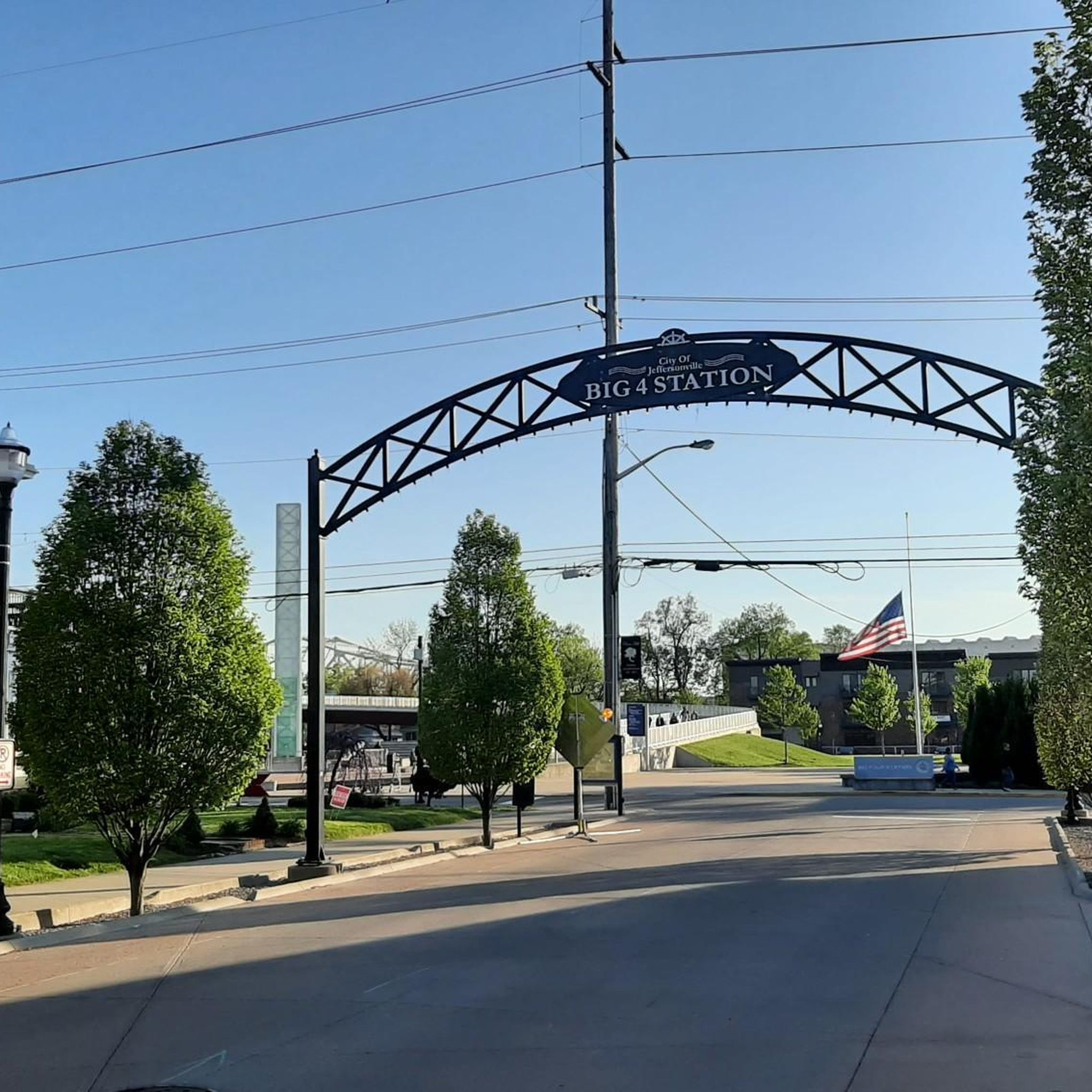
Originally constructed in 1895 as a railroad bridge the Big Four Bridge was converted as pedestrian and bike connector between Louisville, Kentucky, and Jeffersonville, Indiana. This has proven to be an extremely popular conversion as the bridge sees over 1.5 million crossings per year.
0
0
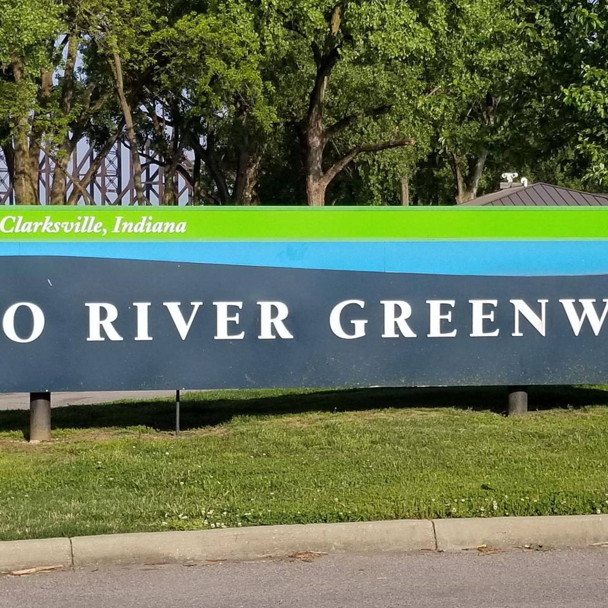
This is a nice, riverside park with ample parking and restrooms, which makes it a great place to start and finish your ride. The, as yet, incomplete Louisville Loop Trail runs through the park, giving riders access to other parts of the city.
0
0
Patrick Star and Mr. Krabs brighten up the side of an otherwise unremarkable building.
0
0
The Lewis and Clark Bridge was built to connect two disjointed stretches of Interstate 265, to form part of the Louisville ring road. Ample space was built in for pedestrian and bicycle access.
0
0

Situated along the Louisville Loop Trail, this fountain is a nice spot for a short break. There is a large green space on the other side, making it an ideal spot for a picnic with great views of the Ohio River.
0
0
The Louisville Extreme Park is one of the top skate parks in the country, featuring a 24-foot full pipe and a blend of street, transition, and vert skating areas. Opened in April 2002, it spans 40,000 square feet of outdoor concrete space, including a wooden vert ramp and restrooms, and is accessible 24 hours a day. Catering to skateboarders, inline skaters, and bikers of all ages and skill levels, the park is centrally located downtown, near Waterfront Park and Slugger Field. It can be easily reached by bus, car, or by walking and biking along the RiverWalk. Designed with local input, it’s also a great place to relax and people watch!
0
0

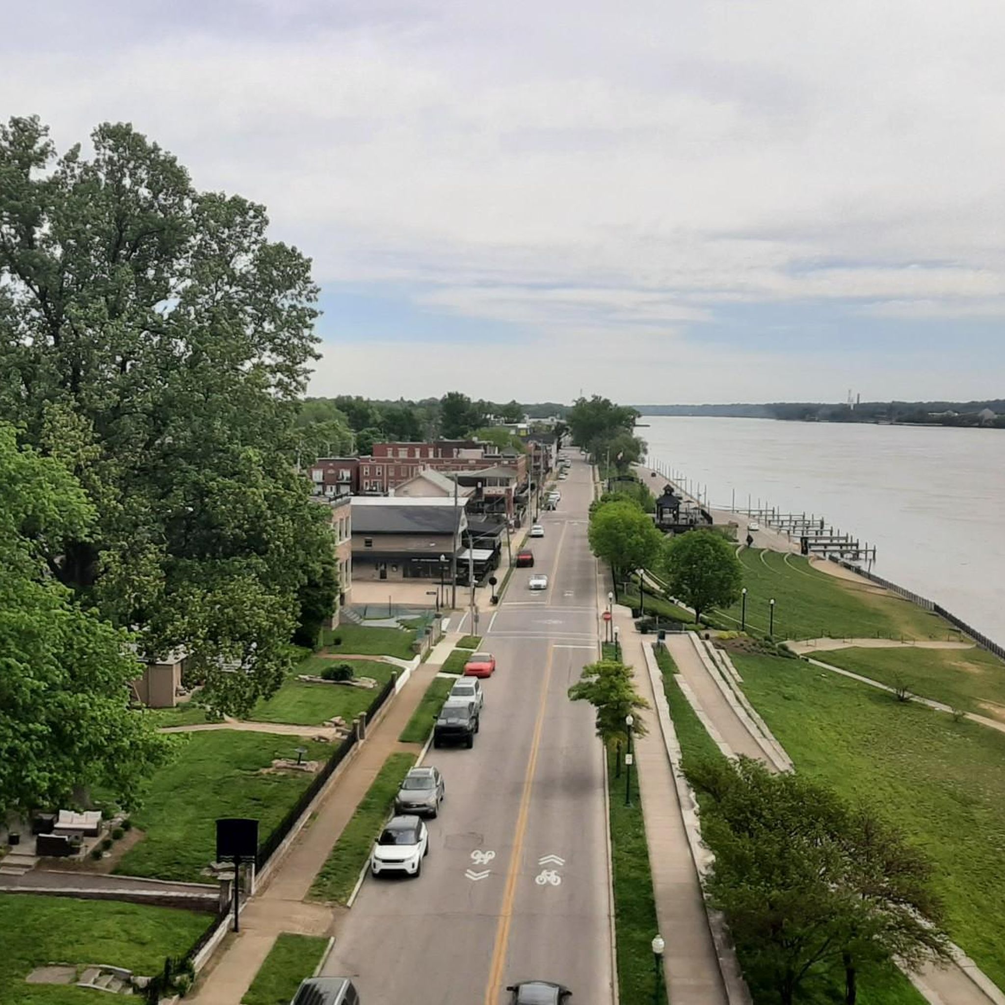
Waterfront Park is an attractive riverside park with benches, picnic areas, open areas, and paved walking/biking paths. You get great views over the river and of the Big Four Bridge, a pedestrian/ cycling bridge which spans the Ohio River, connecting Louisville, Kentucky, and Jeffersonville, Indiana.
0
0

boat landing with some tables and a shelter. easy spot to pull off and watch the river
1
0
Frequently Asked Questions
How many road cycling routes are available in Clark County?
Clark County offers a wide selection of road cycling routes, with over 90 tours available on komoot. This includes a mix of easy, moderate, and a few more challenging options.
What do other road cyclists enjoy most about road cycling in Clark County?
The road cycling routes in Clark County are highly rated by the komoot community, with an average score of 4.7 stars from over 7 reviews. Cyclists often praise the scenic riverfront paths, bridge crossings, and the gently rolling terrain that makes many routes accessible.
Are there easy road cycling routes suitable for beginners in Clark County?
Yes, Clark County is very welcoming for beginners, with 38 easy road cycling routes. A great option is the Lewis and Clark Bridge loop from Jeffersonville High School, an easy 23.4-mile path offering varied scenery.
What about more challenging or advanced road cycling routes in Clark County?
While most routes are easy to moderate, Clark County does offer a couple of more challenging options for experienced riders. The region's terrain primarily features flat to rolling landscapes, so 'advanced' typically means longer distances or slightly more elevation gain rather than steep climbs.
Can I find long-distance road cycling routes in Clark County?
Yes, there are several long-distance options. For example, the Ohio River – Waterfront Park loop from Jeffersonville is a moderate 45.4-mile (73.0 km) trail that follows the Ohio River, providing scenic views over a longer distance.
Are there circular road cycling routes in Clark County?
Many of the road cycling routes in Clark County are designed as loops, making them convenient for starting and ending at the same point. The Lewis & Clark Cabins loop from Jeffersonville High School is a popular 24.2-mile circular route.
Are there scenic road cycling routes with good views in Clark County?
Absolutely. The region is defined by its proximity to the Ohio River, offering numerous routes with picturesque riverfront views. Routes often cross bridges, providing unique vantage points of the river and surrounding areas. The Roadbike loop from Arctic Springs offers diverse scenery.
Are there family-friendly road cycling routes in Clark County?
Many of Clark County's easy and moderate routes are suitable for families, especially those featuring paved trails and modest elevation gains. The riverfront paths are generally flat and well-maintained, providing a safe and enjoyable experience for all ages. Consider the Lewis & Clark Cabins loop from Clarksville for a shorter, easy ride.
What is the best time of year for road biking in Clark County?
Spring and fall generally offer the most pleasant conditions for road cycling in Clark County, with mild temperatures and beautiful scenery. Summer can be enjoyable, but it's advisable to ride earlier in the morning or later in the afternoon to avoid the midday heat and humidity. Winter riding is possible, but check weather conditions for ice or snow, especially on bridges.
Are there road cycling routes in Clark County with cafes or places to stop nearby?
Yes, many routes in Clark County pass through or near urban and suburban areas like Jeffersonville and Clarksville, where you can find various cafes, restaurants, and shops for a break. The routes along the Ohio River waterfront are particularly well-served by amenities.
How accessible are road cycling routes in Clark County by public transport?
While specific public transport access varies by route, many starting points in towns like Jeffersonville are within reach of local bus services. However, for maximum flexibility, driving to a starting point with parking is often the most convenient option for road cyclists in the region.
Are there any hidden gem road cycling routes in Clark County?
While popular routes like the Ohio River loops are well-known, exploring some of the slightly shorter or less-trafficked routes can reveal quieter stretches. The Splash Pad at Waterfront Park – Ohio River loop from Jeffersonville offers a pleasant, slightly shorter alternative to the main riverfront path.
What defines the typical terrain for road cycling in Clark County?
Road cycling in Clark County is characterized by a mix of riverfront paths and quiet roads. The terrain is primarily flat to gently rolling, with modest elevation gains. You'll frequently encounter bridge crossings, adding variety to the landscape and offering unique views of the Ohio River.
Most popular routes in Clark County

Get inspired with the komoot mobile app


Didn’t find what you were looking for?
Check out more Road cycling routes throughout Clark County below and find the perfect route in your destination.
Explore more
Browse the best Road cycling routes in other regions.
