The best walks and hikes in Columbia County
5.0
(19)
311
hikers
49
hikes
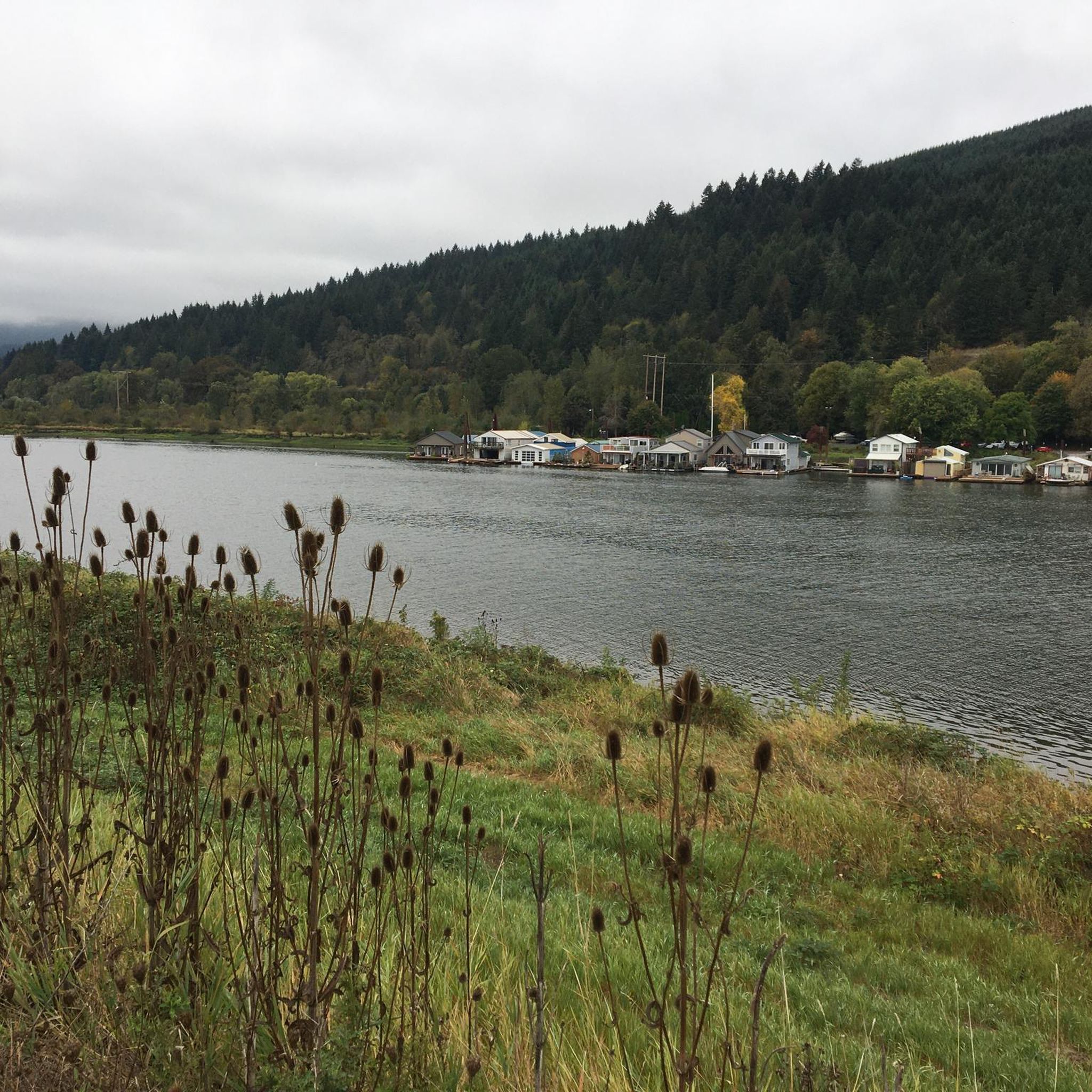
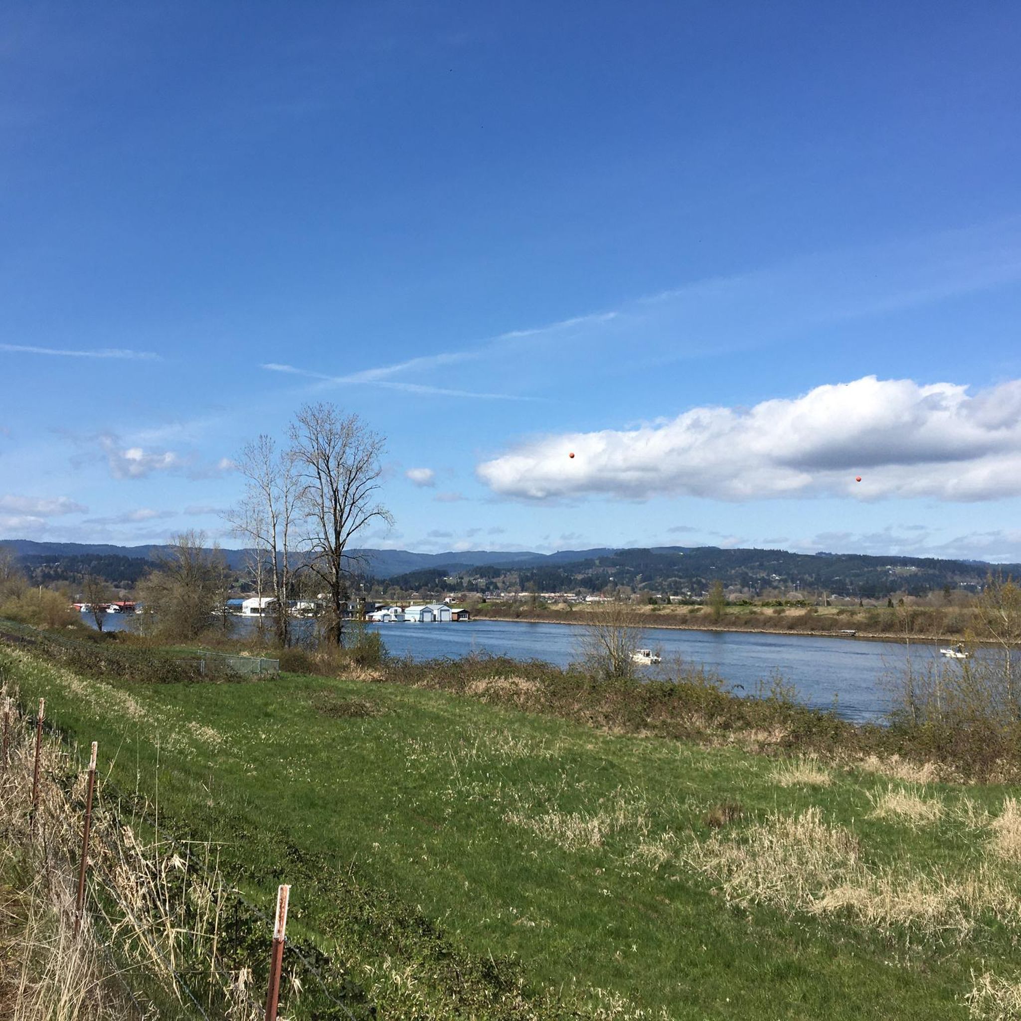
Hiking in Columbia County, Oregon, offers diverse landscapes ranging from the extensive Columbia River shoreline to coastal range elevations. The region features trails along abandoned railroad beds, through forests, and beside rivers, providing varied outdoor experiences. Hikers can explore paths that traverse wetlands and offer views of the Columbia River, with elevations reaching up to 2240 feet at Buck Mountain. The county's natural features include dense conifer forests and river access points.
Best hiking trails in Columbia County
- The most…
Last updated: October 11, 2026
3
hikers
2.51km
00:38
0m
0m
Explore the easy 1.6-mile Trojan Park Loop, offering pleasant lake views, birdwatching, and a unique historical setting in Columbia County,
1
hikers
35.6km
09:40
560m
360m
Embark on a challenging hike along the Crown Zellerbach Trail, a difficult route stretching 22.1 miles (35.6 km). You'll experience diverse landscapes, from dense forests that form a thick curtain…

3.50km
00:54
10m
10m
The McCormick Park Nature Path offers a serene escape into nature, winding through a primarily flat landscape of untouched evergreen and deciduous trees. As you follow the 2.2-mile (3.5 km)…
2.06km
00:31
10m
0m
Embark on an easy hike along the Marine Park Trail, a gentle route spanning 1.3 miles (2.1 km) with a minimal elevation gain of just 20 feet (6 metres). This…
5.0
(1)
9
hikers
2.98km
00:45
10m
10m
Embark on an easy hike along the Columbia River at Marine Park Beach, a route perfect for a casual stroll. This accessible path covers 1.9 miles (3.0 km) with a…
2
hikers
1.94km
00:30
10m
10m
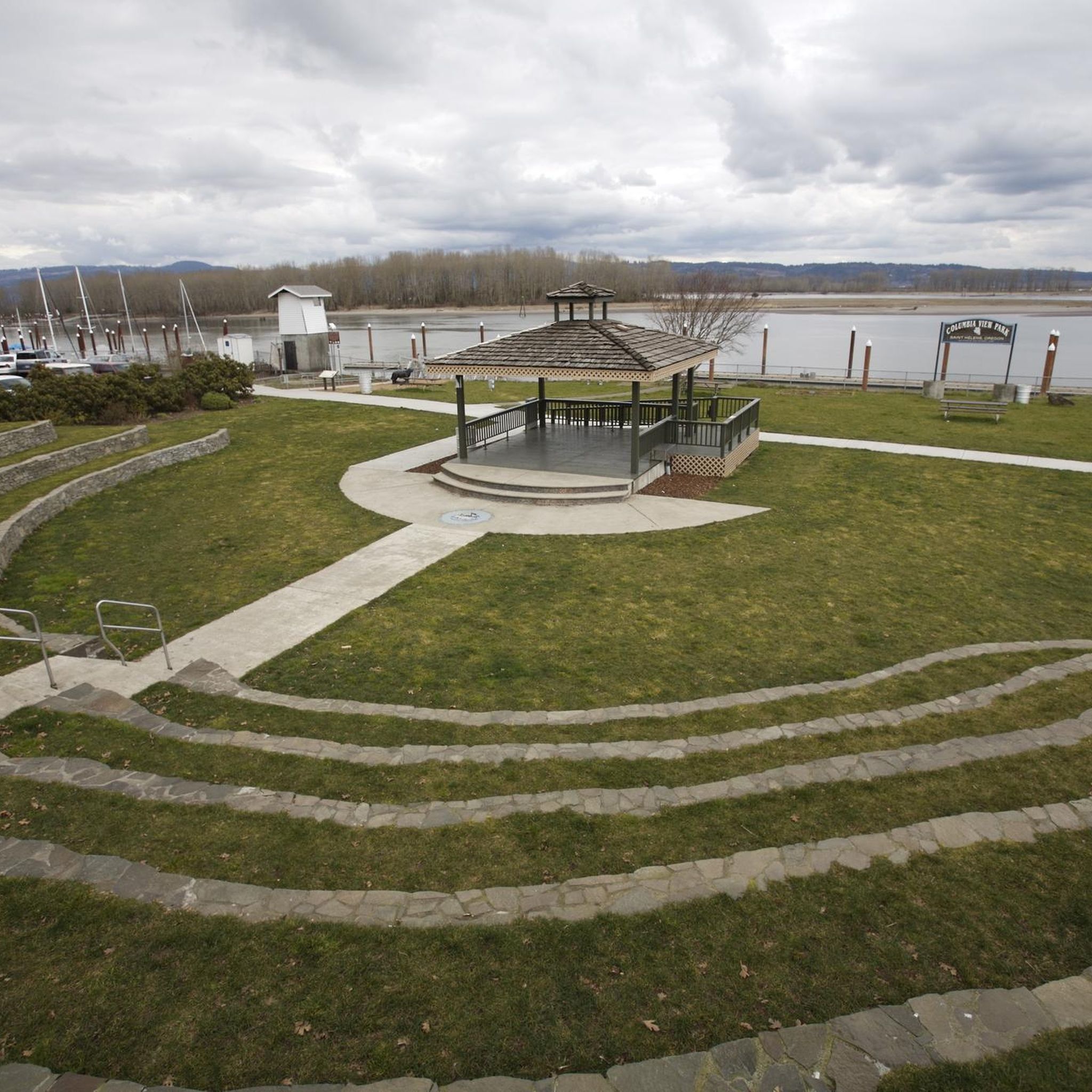
The St. Helens Riverwalk offers a refreshing escape with constant views of the mighty Columbia River. You'll stroll along well-maintained pathways and boardwalks, enjoying the renatured shoreline and keeping an…
2
hikers
16.0km
04:16
170m
170m
Embark on a moderate hike along the Crown Zellerbach Trail, a 9.9 miles (16.0 km) route that takes approximately 4 hours and 16 minutes to complete. You will experience a…
1
hikers
18.2km
04:38
50m
50m
Hike the Banks-Vernonia State Trail, a 11.3-mile moderate route on an old railroad bed, featuring the Buxton Trestle and forest scenery.
22.0km
05:42
140m
140m
The Crown Zellerbach Trail offers a fascinating journey through Oregon's varied landscapes, from the wetlands of the Columbia River to dense conifer forests. You'll traverse primarily packed gravel, but also…
6.60km
01:40
10m
10m
Hike the easy 4.1-mile Oak Island Nature Trail on Sauvie Island, enjoying lake views, diverse wildlife, and mountain vistas.
Get access to more routes and recommendations from other explorers.
Already have an account?
Our route recommendations are based on thousands of hikes, rides, and runs completed by other people on komoot.
Start today with a free account
Your next adventure awaits.
Popular around Columbia County




Tips from the Community

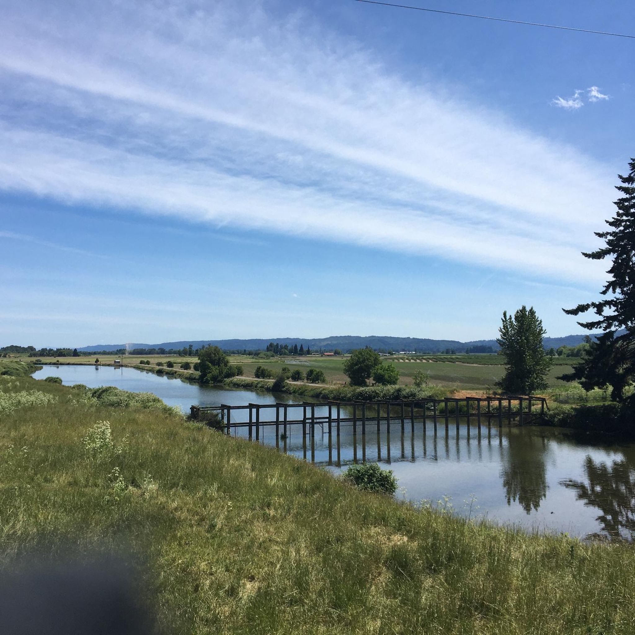
West Arm Lake is one of several lakes on Sauvie Island. The path that runs along the banks of the lake is a great place for a quick break during a walk to try to spot some of the waterfowl and birds that call this area their home.
0
0
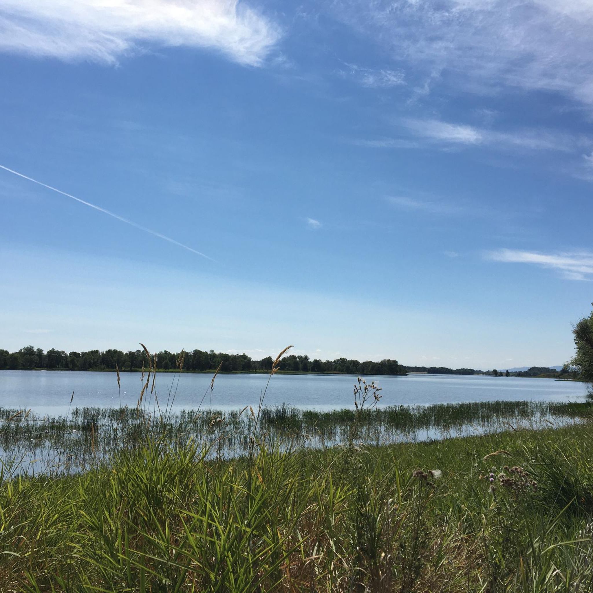
Sturgeon Lake is a lake on Sauvie Island and is one of the largest lakes on a river island in the country. The lake gets its name because there is a large amount of sturgeon in the lake. There is a dirt path that runs along the banks of the lake, so you can get a good view of the water.
0
0
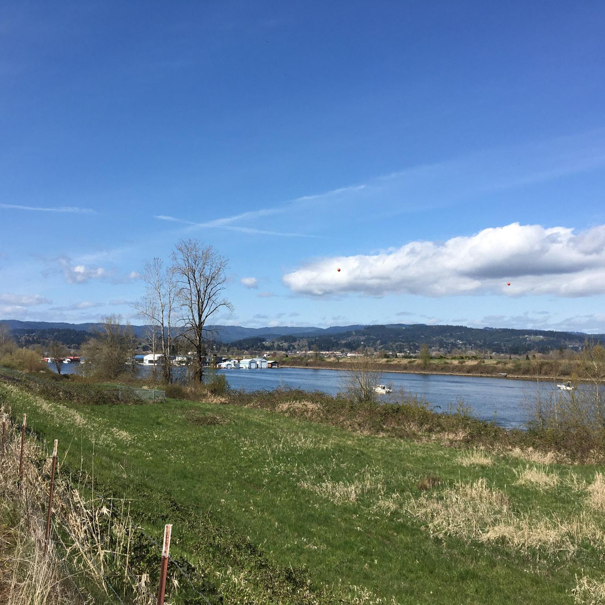
Chapman Landing is a small park with great views of the Columbia Channel. It also is a trailhead for the Crown Zellerbach Trail.
0
0
The Wayne Naillon Memorial Rest Area is a small picnic area on the Crown Zellerbach Trail. It was created in memory of Wayne Naillon, an integral member of the team that helped to set up the Crown Zellerbach Trail. There is a commemorative sign for Wayne at this spot as well.
0
0
The Crown Zellerbach Trail is a 27-mile-long trail that runs between Scappoose and Vernonia. The trail is built on an old railway right of way and is a mix of asphalt and gravel. This section is paved and takes you through dense forest.
0
0
The Old Mill Area is a great green space off the Banks-Vernonia Trail. It is an old industrial area that has been reclaimed by nature. There is an old mill building in the center, which has now been decorated with street art.
0
0

This beautiful lake is a popular trout fishing destination. It's also the perfect spot for a lovely break when riding your bike around Vernonia!
0
0
Banks-Vernonia State Trail is a 23-mile long multiuse trail that runs between the towns of Banks and Vernonia. The trail is popular with hikers and cyclists. This section of the trail meanders through beautiful dense wood and is perfect for a relaxed hike.
0
0
Frequently Asked Questions
What types of hiking trails can I find in Columbia County, Oregon?
Columbia County, Oregon, offers a diverse range of hiking experiences, from riverfront paths along the Columbia River to trails winding through dense conifer forests and coastal range elevations. You'll find paths along abandoned railroad beds, streamside routes, and trails with wildlife viewing opportunities. The county's landscape varies from sea level to 2240 feet at Buck Mountain.
Are there any easy, family-friendly hikes in Columbia County, Oregon?
Yes, Columbia County, Oregon, has many easy trails suitable for families. For instance, the Marine Park Beach — Kalama route is an easy 1.9-mile walk offering views along the Columbia River. Another great option is the Waterfront Trail — Saint Helens Waterfront Park, a pleasant 1.2-mile path. The Sauvie Island loop — Columbia County is also an easy 4.1-mile route.
Can I find trails suitable for longer, more challenging hikes?
Absolutely. For those seeking a moderate challenge, the Wayne Naillon Memorial Rest Area via Crown Zellerbach Trail — Columbia County is a 10-mile path known for wildlife viewing. The Banks-Vernonia State Trail & Hares Canyon Trail loop offers a moderate 9.6-mile experience. For a more difficult and longer adventure, consider the Chapman Landing via Crown Zellerbach Trail — Scappoose, which spans 13.6 miles.
Are there any trails that are part of a larger network?
Yes, Columbia County is home to significant trail networks. The **Banks-Vernonia State Trail** is Oregon's first 21-mile 'rails to trails' project, following an abandoned railroad bed. Another large network is the **Crown Zellerbach National Scenic Trail** near Scappoose, which offers extensive opportunities for hiking and wildlife viewing.
What kind of natural features or attractions can I see while hiking?
Columbia County, Oregon, boasts over 62 miles of Columbia River shoreline, offering scenic river views from many trails. You can also explore coastal range elevations and dense conifer forests. Notable attractions include Vernonia Lake, Scappoose Bay, and the impressive Lewis and Clark Bridge. Beaver Falls provides a short, steep hike to an impressive waterfall, and Scout Lake is a tucked-away lake for primitive camping.
Are there any loop trails available for hikers?
Yes, there are several loop trails in Columbia County, Oregon. The Banks-Vernonia State Trail & Hares Canyon Trail loop from Highway 47 is a popular moderate option. For an easier experience, consider the Sauvie Island loop — Columbia County. Other loops include the Lyons Beach – Warrior Rock Lighthouse loop and the Lake Sacajawea Park loop.
What do other hikers say about the trails in Columbia County, Oregon?
The trails in Columbia County, Oregon, are highly regarded by the komoot community, with an average rating of 4.9 stars from over 10 reviews. Hikers often praise the diverse landscapes, from riverfront paths to forest trails, and the opportunities for wildlife viewing. Many appreciate the variety of difficulty levels available, catering to both casual walkers and more experienced hikers.
Are there opportunities for wildlife viewing on the trails?
Yes, Columbia County, Oregon, offers excellent opportunities for wildlife viewing. The **Crown Zellerbach National Scenic Trail** near Scappoose is particularly known for its diverse wildlife. Parks like Camp Wilkerson, Hudson-Parcher Park, and Scaponia Park also provide glimpses of various wildlife and wildflowers in their natural habitats.
What is the Gnat Creek Trail like?
The **Gnat Creek Trail** in Columbia County, Oregon, offers a serene streamside path. It winds through an undisturbed forest, providing a peaceful hiking experience amidst lush natural surroundings.
Are there any trails that offer access to the Columbia River?
Yes, many trails in Columbia County, Oregon, provide direct access to or views of the Columbia River. The county boasts over 62 miles of Columbia River shoreline. Routes like Marine Park Beach — Kalama and the Waterfront Trail — Saint Helens Waterfront Park offer direct riverfront experiences. Additionally, Dibblee Beach and Jones Beach provide access to the Columbia River for recreational activities.
How many hiking routes are available in Columbia County, Oregon?
There are over 30 hiking routes available in Columbia County, Oregon, catering to a wide range of skill levels. This includes more than 20 easy routes, 10 moderate routes, and a few more challenging options, ensuring there's a trail for every hiker.
Most popular routes in Columbia County
Most popular attractions in Columbia County

Get inspired with the komoot mobile app


Didn’t find what you were looking for?
Check out more Hikes throughout Columbia County below and find the perfect route in your destination.
Explore more
Browse the best Hikes in other regions.
