The best road cycling routes around Colbitz
4.4
(128)
2,044
riders
87
rides
Road cycling around Colbitz offers diverse terrain, from expansive heathlands to dense linden forests and unique moor landscapes. The region, situated in Saxony-Anhalt, Germany, features a blend of flat routes, particularly near waterways, and areas with gentle hills. Cyclists can navigate well-developed cycling infrastructure, including paved paths through wide forests and open fields. This area provides varied natural scenery for road cyclists seeking smooth surfaces and less traffic.
Best road cycling routes around Colbitz
- The most popular road cycling route…
Last updated: October 13, 2026
4.0
(15)
205
riders
48.6km
02:10
140m
140m
Moderate road ride. Good fitness required. Some segments of this route may be unpaved and difficult to ride.
4.9
(10)
34
riders
33.9km
01:22
130m
130m
Easy road ride. Great for any fitness level. Mostly well-paved surfaces and easy to ride.

4.8
(5)
24
riders
39.5km
01:42
130m
130m
Moderate road ride. Great for any fitness level. Some segments of this route may be unpaved and difficult to ride.
18
riders
54.9km
02:16
160m
160m
Moderate road ride. Good fitness required. Mostly well-paved surfaces and easy to ride.
18
riders
Moderate road ride. Great for any fitness level. Some segments of this route may be unpaved and difficult to ride.
Get access to more routes and recommendations from other explorers.
Already have an account?
Our route recommendations are based on thousands of hikes, rides, and runs completed by other people on komoot.
Start today with a free account
Your next adventure awaits.

Tips from the Community

The development of water transport technology becomes clear during a visit to the historic Rothensee ship lift. In 1938, the ship lift was put into operation. Leipzig designers opted at the time for a principle that had not yet been practically applied anywhere for a structure of this magnitude: A lift whose trough rested on two movable floats. With the help of the water-filled trough, which together with the two floats and the support structures has a total weight of around 5,400 tons, ships could thus "descend" from the Mittellandkanal and towards the Elbe. Depending on the water level of the Elbe, a gradient between 11 and 18 meters is compensated. With a trough length of 85 meters, a width of 12 meters, and a water depth in the trough of 2.5 meters, the dimensions are, however, too small for today's large motor cargo ships. For this reason, the ship lift was decommissioned in 2006. Since then, the state capital Magdeburg, supported by various stakeholders and with broad public approval, has been committed to its seasonal continued operation. With success: Since the summer of 2013, the ship lift has been seasonally operated again for tourist purposes. The ship lift in Magdeburg-Rothensee is a unique monument due to its technology and history. It is a brilliant design, its construction was an engineering masterpiece. It is the second oldest of only four ship lifts still in operation in Germany and the only two-float ship lift in Germany still in operation. A visit is worthwhile for this reason alone, as the immediate proximity of the state-of-the-art Sparschleuse to the ship lift, as a historical technical monument, makes the developments in water transport technology visible. Data and facts: Usable length: 85 meters Usable width: 12 meters Lift height: 10.45 to 18.46 meters depending on the Elbe water level Water depth in the trough: 2.58 meters Usable size: 82 meters x 9.5 meters x 2 meters Total moving weight: 5,400 tons https://www.magdeburg-tourist.de/Tourismus-Freizeit/System/Schiffshebewerk/
2
0
The noteworthy "chapel-like" village church from 1571 can be found on Dorfstraße in 39517 Angern (district Bertingen, Saxony-Anhalt). It has a rectangular nave with large round-arched windows, a semi-circular chancel, and a square west tower made of half-timbering with a hood. The year 1571 is located directly above the entrance door. During an earlier relocation of the village, the community took the old oak church door with them as a memento and incorporated it into the new building. The free-standing, two-story west tower is made of half-timbering with corner braces. www.wikipedia.de
2
0

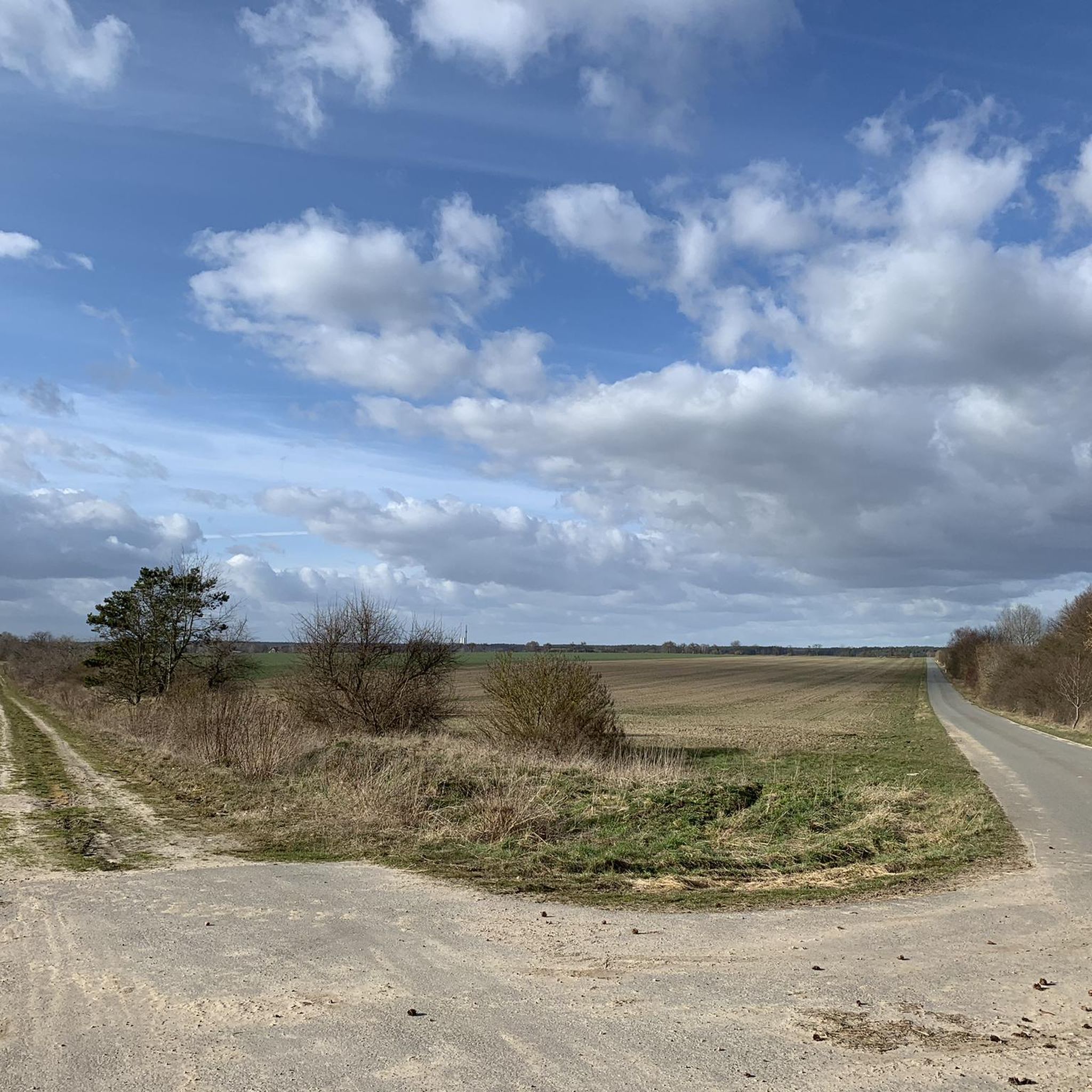
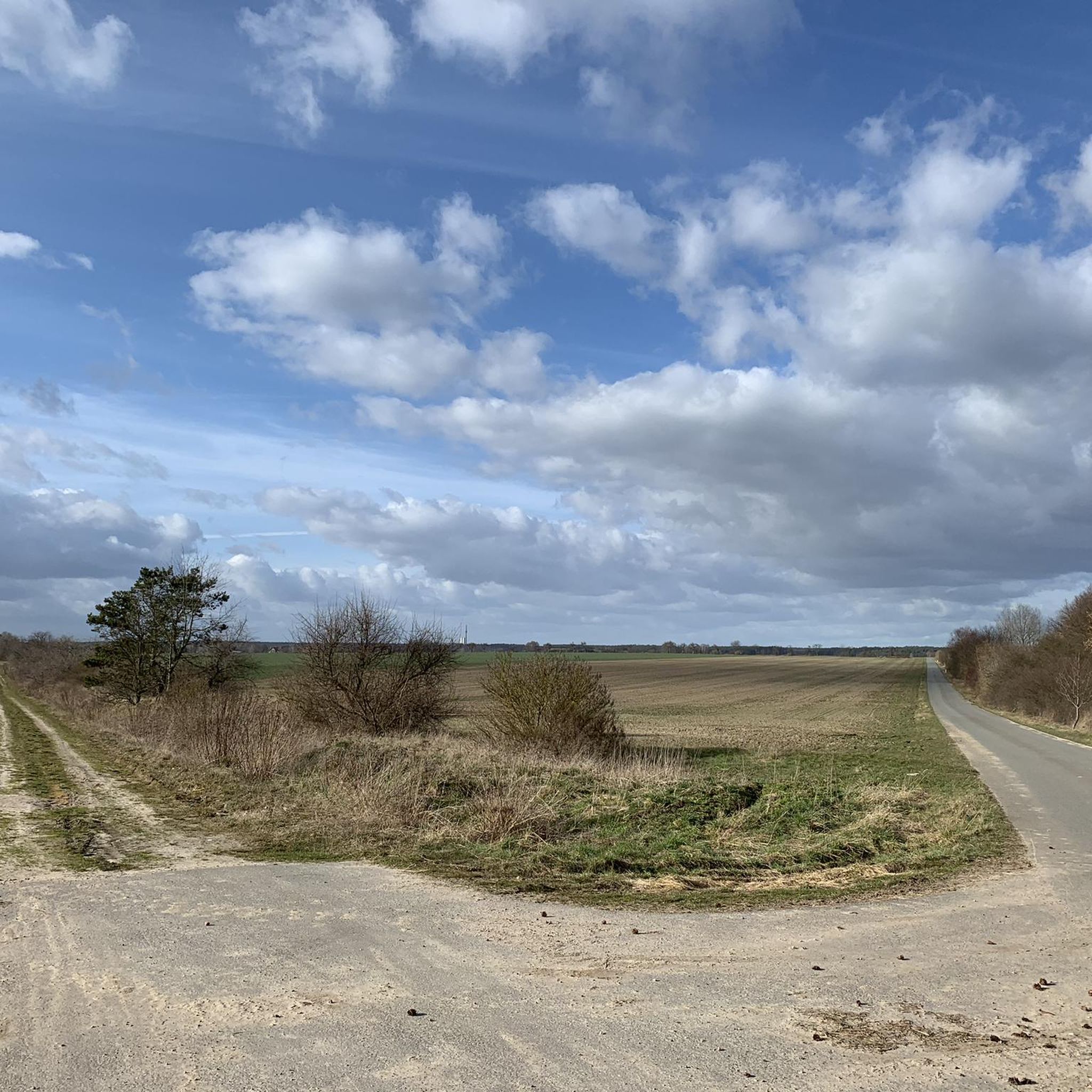
The cycle path is very narrow and sometimes a bit difficult to navigate on a road bike due to roots and slight ruts. Always ride slowly here. A gravel bike is actually much better here.
0
0

Climb the highest peak between Magdeburg and the Baltic Sea During this mountain hike, you'll cover a roughly 6 km long trail with gradients of up to 16%. It takes two to three hours and is led by expert mountain guides from the Zielitz Miners' Association. During the tour, the mountain guides will provide information about local mining – from the raw salt extracted underground to the finished product – and scenic attractions. After the approximately 3 km climb, you'll reach the summit plateau. From here, you'll enjoy impressive views of the surrounding villages, Europe's largest waterway junction, and the largest continuous linden forest. With a bit of luck, the weather will be clear, so the view even extends as far as the Brocken (Harz) Mountains. Source: https://www.kpluss.com/de-de/ueber-ks/standorte/europa/zielitz/kalimandscharo/#bergtour The mountain tours take place every Saturday at 3:00 PM from the beginning of May to October. No registration is required.
0
0

So many highlights at a glance
0
0

interesting opportunity to take a closer look at this dimension
2
0

The former manor church was built around 1500 as a simple fieldstone structure with a thatched roof. During the Thirty Years' War, the church had to be rebuilt twice. At its core, it is a medieval church.
5
0
At a good 40 meters above sea level and directly on the banks of the Elbe River, a high medieval residential tower, the Klutturm, stands, and right next to it a neo-Gothic castle. These are the remains of the former castle complex and later the Rogätz manor.
5
0
Frequently Asked Questions
How many road cycling routes are available around Colbitz?
There are over 90 road cycling routes available around Colbitz, offering a wide range of options for different skill levels and preferences.
What kind of terrain can I expect on road cycling routes in Colbitz?
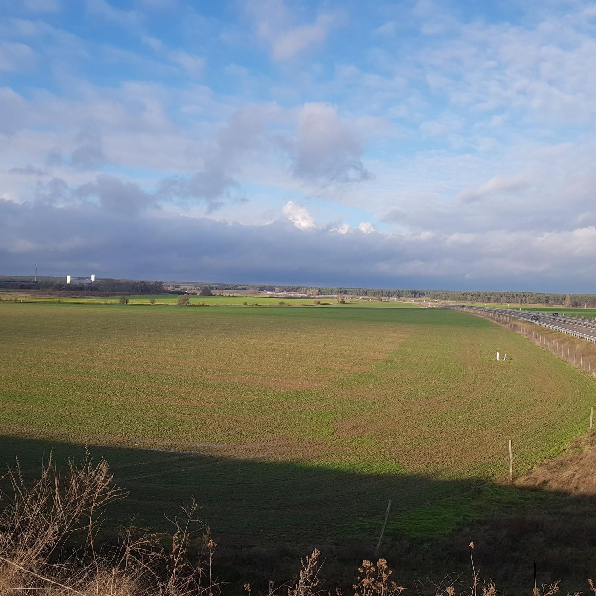
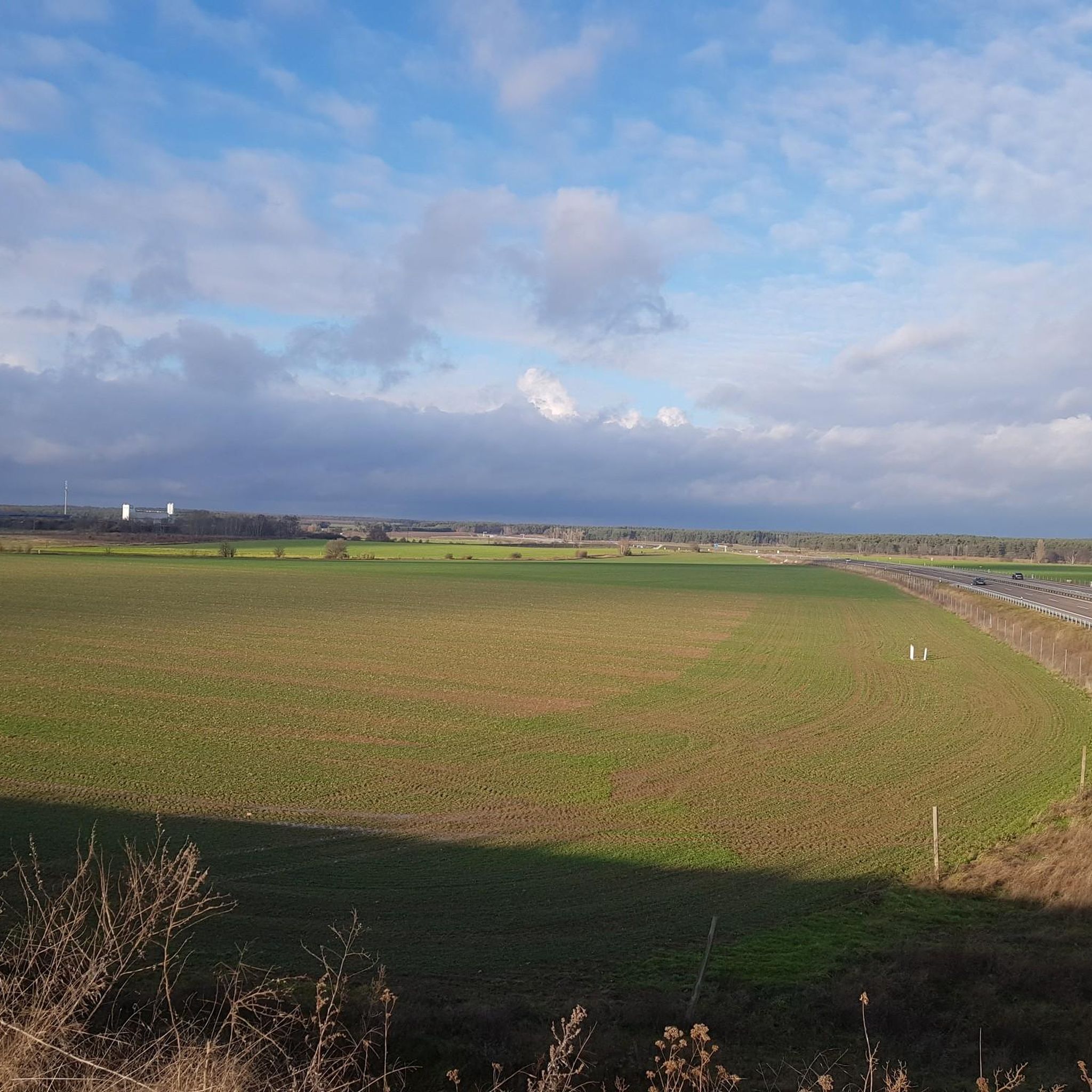
Colbitz offers diverse terrain for road cycling. You'll find a blend of flat routes, especially near waterways like the Elbe, and areas with gentle hills. The region features expansive heathlands, dense linden forests, and unique moor landscapes, with many routes on paved, well-signposted cycle paths.
Are there easy road cycling routes suitable for beginners in Colbitz?
Yes, Colbitz has several easy road cycling routes. Approximately 25 routes are classified as easy, such as the Kalimandscharo Zielitz – Village Church of Rogätz loop from Colbitz, which is 20.9 miles (33.7 km) long and traverses gentle hills and vast fields.
Can I find challenging road cycling routes around Colbitz?
While most routes are easy to moderate, there are a few more challenging options. The region's terrain generally features gentle hills rather than steep climbs, but longer distances and varied surfaces can provide a good workout. There are 2 routes classified as difficult.
What are some notable landmarks or natural features to see along the road cycling routes?
Many routes pass through the picturesque Colbitz-Letzlinger Heide with its wide forests and blooming heath areas, or the unique Colbitzer Lindenwald. You can also encounter impressive engineering marvels like the Magdeburg Water Bridge and the Hohenwarthe Lock. Historical sites like Wolmirstedt Castle Estate are also accessible.
Are there any routes that pass by the Magdeburg Water Bridge?
Yes, the renowned Elbe Cycle Path, which is easily accessible from Colbitz, leads directly to the Magdeburg Water Bridge at the Magdeburg Waterway Junction. This impressive structure is the world's longest canal bridge and a significant highlight for cyclists.
What is the best time of year for road cycling in Colbitz?
The best time for road cycling in Colbitz is generally from spring to autumn. During these seasons, the weather is pleasantly mild, and the natural landscapes, such as the blooming heath and fragrant linden forest, are at their most beautiful.
Are there family-friendly road cycling options in the Colbitz area?
Yes, the region offers many flat and well-paved routes, particularly those along waterways and through the heathland, which are suitable for families. The extensive network of quiet roads and dedicated cycle paths makes for a safe and enjoyable experience for all ages.
What are the options for parking when road cycling in Colbitz?
Parking is generally available in and around Colbitz, especially in the villages and near popular trailheads. Specific parking information can often be found on individual route pages on komoot, or by checking local municipality websites for designated cyclist parking areas.
Can I use public transport with my bike to access routes in Colbitz?
Public transport options, including regional trains and buses, often allow bikes, though specific regulations and peak hour restrictions may apply. It's advisable to check the local transport provider's website for current information on bike carriage before planning your trip.
Are there any circular road cycling routes available?
Yes, many of the road cycling routes around Colbitz are designed as loops, allowing you to start and end at the same point. An example is the Kalimandscharo Zielitz – Bertingen Village Church loop from Zielitz Ort, which covers 54.9 km.
What makes the Colbitzer Lindenwald special for cyclists?
The Colbitzer Lindenwald is Europe's largest contiguous linden forest, spanning approximately 220 hectares. Cycling through this unique natural area, especially during early summer, offers a fragrant atmosphere among ancient linden and oak trees, providing a truly immersive experience.
What do other cyclists say about the road cycling experience in Colbitz?
The road cycling routes in Colbitz are highly rated by the komoot community, with an average score of 4.3 stars from over 100 reviews. Cyclists often praise the well-maintained paved paths, the diverse natural scenery, and the quiet roads that offer a peaceful riding experience.
Most popular attractions around Colbitz

Get inspired with the komoot mobile app


Explore more
Browse the best Road cycling routes in other regions.
