The best road cycling routes in Ceiba Municipio
5.0
(3)
152
riders
10
rides
Road cycling in Ceiba Municipio, Puerto Rico, offers varied landscapes predominantly on paved surfaces. The region features coastal roads, forested hills, and areas around natural reserves, providing diverse terrain for cyclists. Elevations are generally moderate, with some routes including climbs up to 790 meters. The area's geography allows for routes that combine scenic coastal views with more inland, shaded paths.
Best road cycling routes in Ceiba Municipio
- The most popular road cycling route is Playa Vacía Talega – Pocita de…
Last updated: July 16, 2026
5.0
(2)
82
riders
89.5km
03:48
590m
590m
Moderate road ride. Good fitness required. Mostly well-paved surfaces and easy to ride.
5.0
(1)
20
riders
43.7km
02:11
210m
210m
Moderate road ride. Good fitness required. Mostly well-paved surfaces and easy to ride.

Sign up for free
9
riders
54.6km
02:22
410m
410m
Moderate road ride. Good fitness required. Mostly well-paved surfaces and easy to ride.
7
riders
70.0km
03:12
800m
800m
Moderate road ride. Good fitness required. Mostly well-paved surfaces and easy to ride.
5
riders
28.2km
01:30
530m
530m
Moderate road ride. Good fitness required. Mostly well-paved surfaces and easy to ride.
Get access to more routes and recommendations from other explorers.
Sign up for free
Already have an account?
Our route recommendations are based on thousands of hikes, rides, and runs completed by other people on komoot.
Start today with a free account
Your next adventure awaits.
Login or Signup
Popular around Ceiba Municipio

Tips from the Community

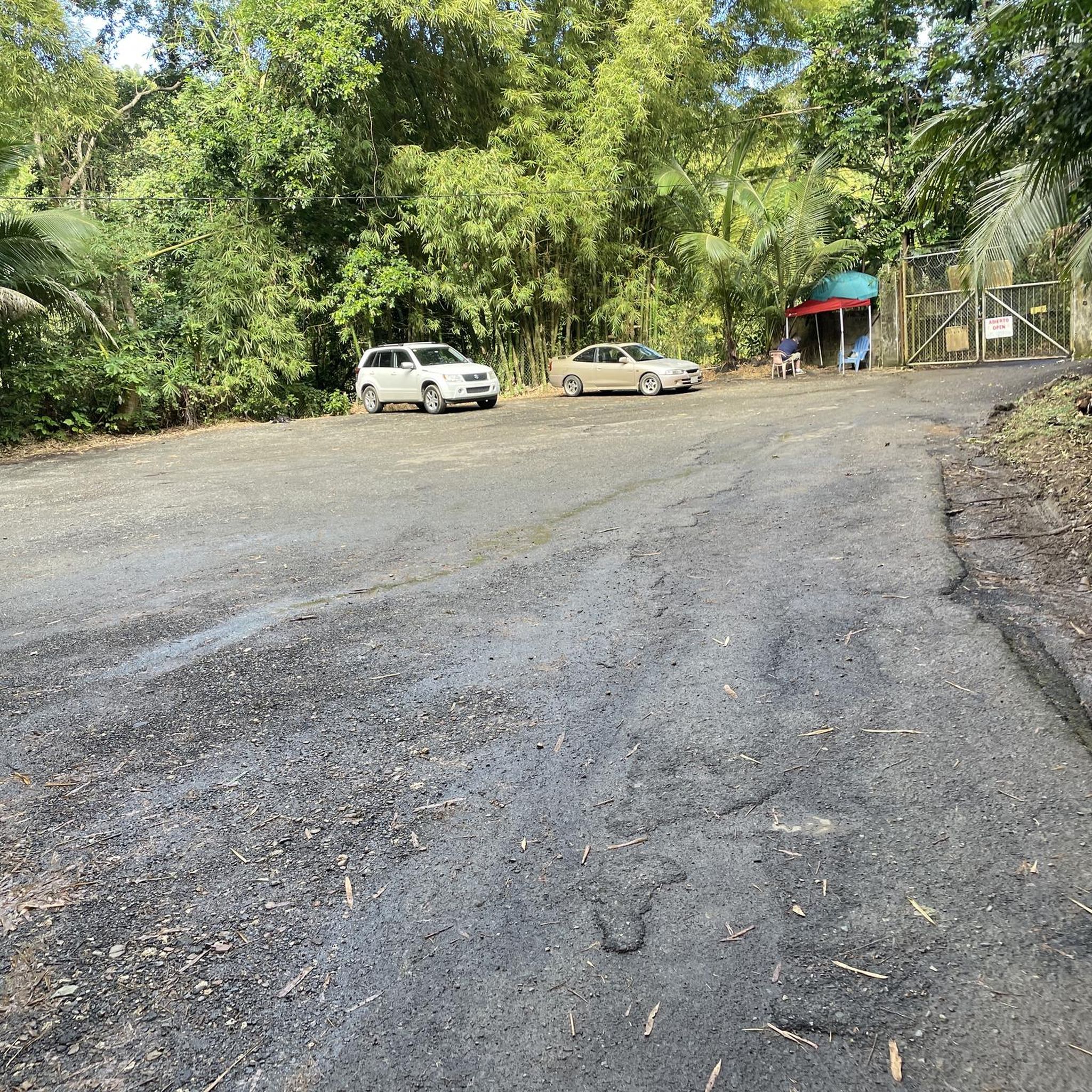
You can walk at any time, but it is much better to arrive before 9 am.
0
0

Excellent road in the mornings and until 11 at day. Afterwards it is very difficult with the excess of traffic.
0
0

No excuse for not dipping into these cold, crystalline waters after a refreshing climb up the forest road.
0
1
Rarely crowded, this local favorite one of the best beaches near San Juan.
0
0

From here the Ferries leave for Culebra and Vieques
0
0
Frequently Asked Questions
How many road cycling routes are available in Ceiba Municipio?
Ceiba Municipio offers a good selection of road cycling routes, with over 9 routes available for various skill levels. These routes traverse diverse landscapes, including coastal roads, forested hills, and areas near natural reserves.
What kind of terrain can I expect on road cycling routes in Ceiba Municipio?
Road cycling in Ceiba Municipio primarily features paved surfaces. You'll find a mix of scenic coastal roads, quiet inland paths, and some dedicated cycleways. While elevations are generally moderate, some routes include climbs up to 790 meters, offering varied challenges.
Are there any easy road cycling routes suitable for beginners or families in Ceiba Municipio?
Yes, Ceiba Municipio has easy road cycling routes perfect for beginners or families. For instance, the Playa Medio Mundo loop from Fajardo is an easy 42.2 km ride with moderate elevation, offering a pleasant experience through the local area.
Where can I find challenging road cycling routes in Ceiba Municipio?
For those seeking a challenge, routes like the Playa Vacía Talega – Pocita de Piñones loop from Río Mameyes offer a moderate challenge over 84.4 km with significant elevation gain. Another option is the GFNY steepest hill loop from Fajardo, which covers 70 km with nearly 800 meters of ascent.
What natural features or landmarks can I see along the road cycling routes?
Many routes offer stunning natural scenery. You can cycle past beautiful coastlines like Los Machos Beach and Medio Mundo Beach, known for their turquoise waters. Inland, some paths may lead near the Medio Mundo and Daguao Natural Reserve, home to a significant mangrove forest. The former Roosevelt Roads Naval Base area also provides recreational opportunities and scenic paths.
Are there any routes that explore the former Roosevelt Roads Naval Base area?
Yes, the area around the former Roosevelt Roads Naval Base offers various recreational opportunities, including biking paths. While specific routes are not detailed in the provided data, the region research indicates it's a significant area for cycling and exploring, often serving as a base for water activities and a gateway to nearby islands.
What is the best time of year to go road cycling in Ceiba Municipio?
The best time for road cycling in Ceiba Municipio is generally outside of hurricane season, which typically runs from June to November. The region offers pleasant cycling conditions for much of the rest of the year, with warm temperatures. Always check local weather forecasts before heading out.
What do other road cyclists enjoy most about road cycling in Ceiba Municipio?
The komoot community highly rates road cycling in Ceiba Municipio, with an average score of 5.0 stars. Cyclists often praise the diverse terrain, which combines scenic coastal views with more inland, shaded paths, and the variety of routes suitable for different ability levels.
Are there any circular road cycling routes in Ceiba Municipio?
Yes, many of the routes in Ceiba Municipio are designed as loops, offering convenient circular rides. Examples include the Roadbike loop from Ceiba, a moderate 43.7 km path, and another Roadbike loop from Ceiba covering 54.6 km, both providing a balanced ride through the local area.
Are there opportunities to see rivers or natural pools while cycling in Ceiba Municipio?
While not directly on the road cycling routes, the region's inland areas feature picturesque natural pools created by the Río Fajardo, such as Charco Frío and Las Tinajas. These spots, known for their serene environments and flowing waterfalls, are popular for swimming and relaxation and could be explored as side trips.
Is parking available for cyclists at the start of routes in Ceiba Municipio?
While specific parking locations are not detailed, it is generally advisable to look for parking near the starting points of routes, especially in more developed areas or near known recreational hubs. Many routes originate from towns or accessible points where parking facilities are typically available.

Get inspired with the komoot mobile app


Explore more
Browse the best Road cycling routes in other regions.
