The best road cycling routes in Stark County
5.0
(2)
144
riders
8
rides
Road cycling in Stark County, Ohio, offers diverse landscapes and extensive trail networks. The region features rolling meadows, wooded areas, and routes that often parallel the Tuscarawas River and the historic Ohio & Erie Canal. Cyclists can find varied surfaces, including paved and crushed limestone, with elevations generally remaining below 200 meters. This provides a range of experiences from flat, scenic paths to routes with moderate climbs.
Best road cycling routes in Stark County
- The most popular road cycling route…
Last updated: July 2, 2026
5.0
(1)
23
riders
Moderate road ride. Good fitness required. Some segments of this route may be unpaved and difficult to ride.
27
riders
160km
08:05
1,060m
1,060m
Hard road ride. Very good fitness required. Some segments of this route may be unpaved and difficult to ride.

Sign up for free
20
riders
Easy road ride. Great for any fitness level. Mostly well-paved surfaces and easy to ride.
16
riders
22.2km
01:08
40m
40m
Easy road ride. Great for any fitness level. Mostly well-paved surfaces and easy to ride.
8
riders
22.6km
01:11
250m
250m
Easy road ride. Great for any fitness level. Mostly well-paved surfaces and easy to ride.
20
riders
38.5km
01:55
90m
90m
Easy road ride. Great for any fitness level. Mostly well-paved surfaces and easy to ride.
5.0
(1)
7
riders
45.8km
02:04
200m
200m
Moderate road ride. Good fitness required. Some segments of this route may be unpaved and difficult to ride.
Our route recommendations are based on thousands of hikes, rides, and runs completed by other people on komoot.
Start today with a free account
Your next adventure awaits.
Login or Signup
Popular around Stark County
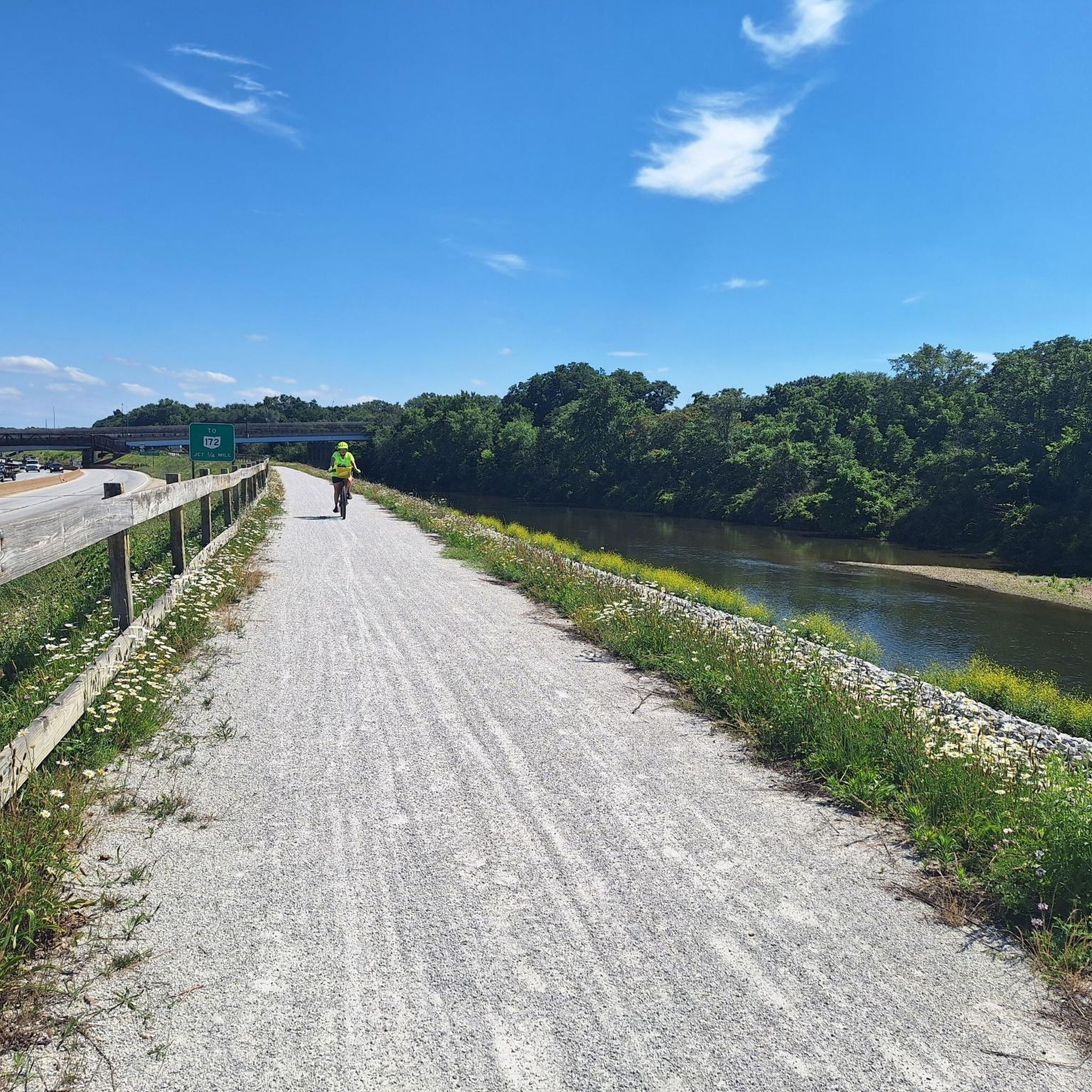
Road Cycling Routes around Massillon
Road Cycling Routes around Canal Fulton
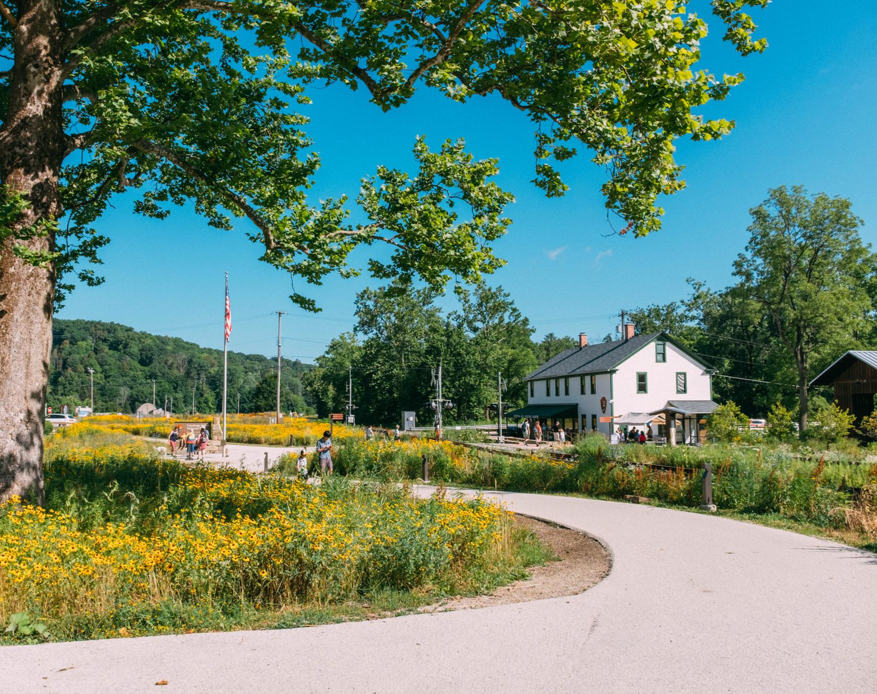
Buckeye Trail's northeast corner — Little Loop
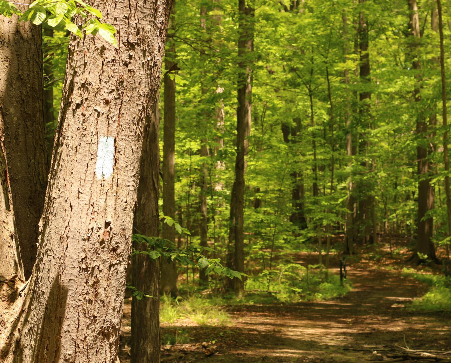
Buckeye Trail — A blue-blazed loop around the state of Ohio
Ohio to Erie Trail — An Unforgettable Ride Across The Buckeye State
Hiking in Stark County
Running Trails in Stark County
Cycling in Stark County


Tips from the Community

Some people like a pre-ride coffee, while others can't wait for their post-ride beer. As for me, nothing beats a mid-ride ice cream to cool down and rest for a while. If ice cream isn't your thing you they have a good selection of classic staples like burgers, hot dogs, nachos and more.
1
0
This small community park is a good place to stop for a rest. It is well shaded and has covered picnic areas and toilets. The small town of Fredericksburg has a number of cafes, restaurants, and shops should you need any supplies.
0
0

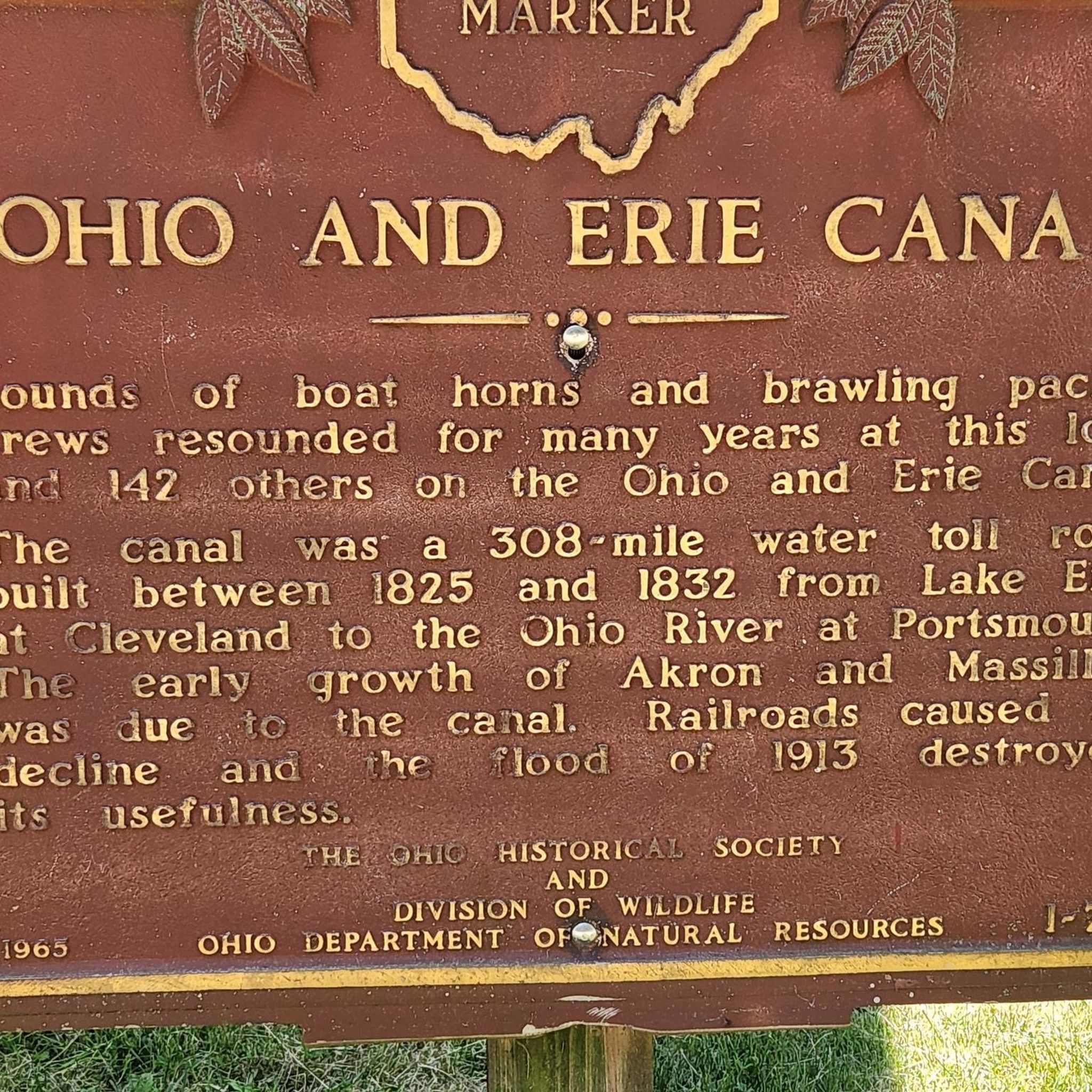
Lock 4 Park, located about 20 miles south of Akron, features the historic "Fulton Lock," the fourth lock south of the Akron summit on the Ohio & Erie Canal. Built in 1827, this sandstone structure is one of 146 lift locks —mechanisms that raised or lowered boats between stretches of water at different elevations — enabling navigation along the canal's 1,000 feet of vertical relief from Lake Erie to the Ohio River. Though no longer operational, the lock and surrounding park has long been a favored local picnic and fishing spot. The park also provides access to the Ohio & Erie Towpath Trail and includes amenities like a historic mill, picnic areas, a handicap-accessible fishing dock, and parking.
0
0

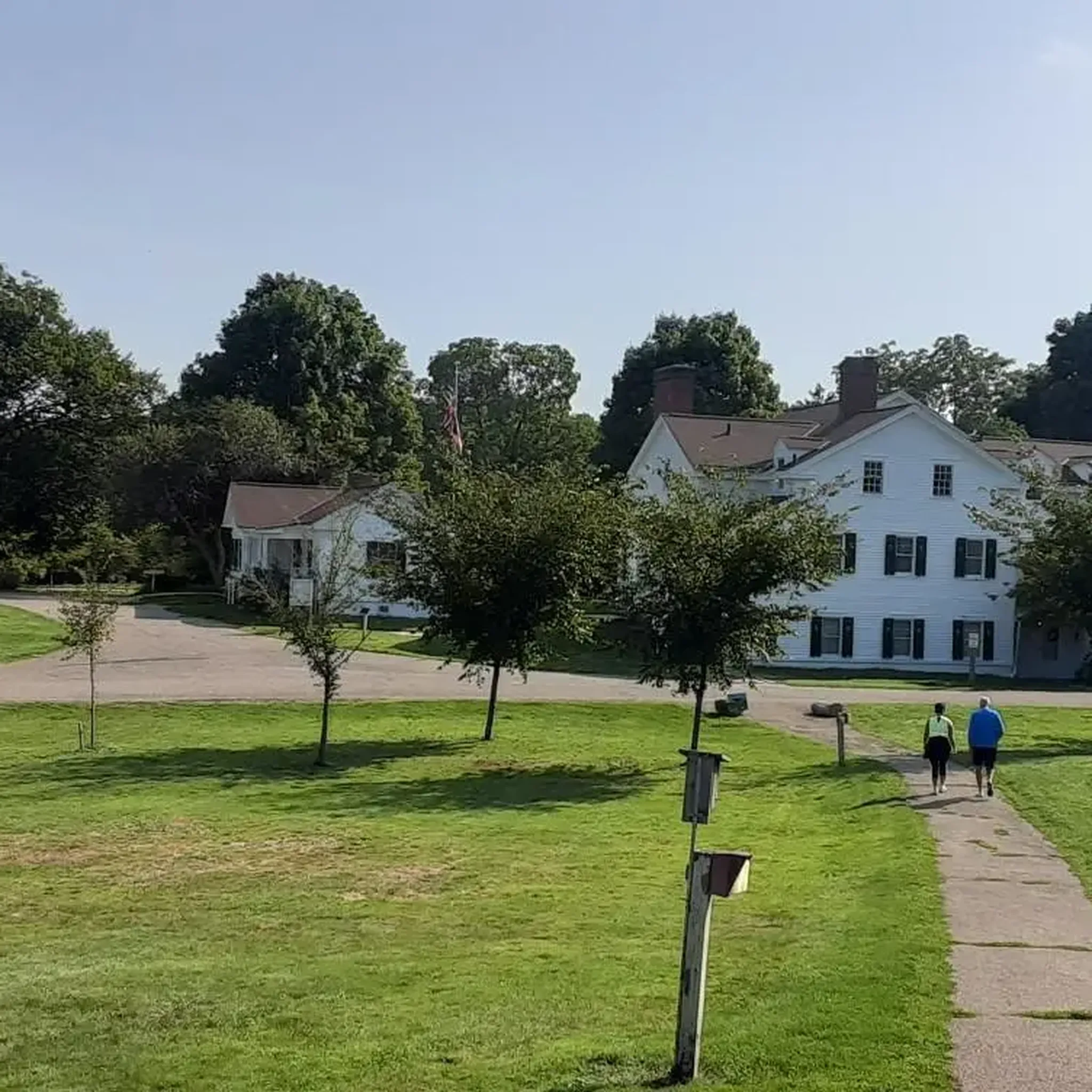
The St Helena Heritage Park is a beautiful park on the Ohio and Erie Canal Towpath Trail. The park has a picnic area, playground and ball fields. The park is on the outskirts of Canal Fulton, so if you need a place for a lunch break, you have the option to leave the trail and head into town.
1
0

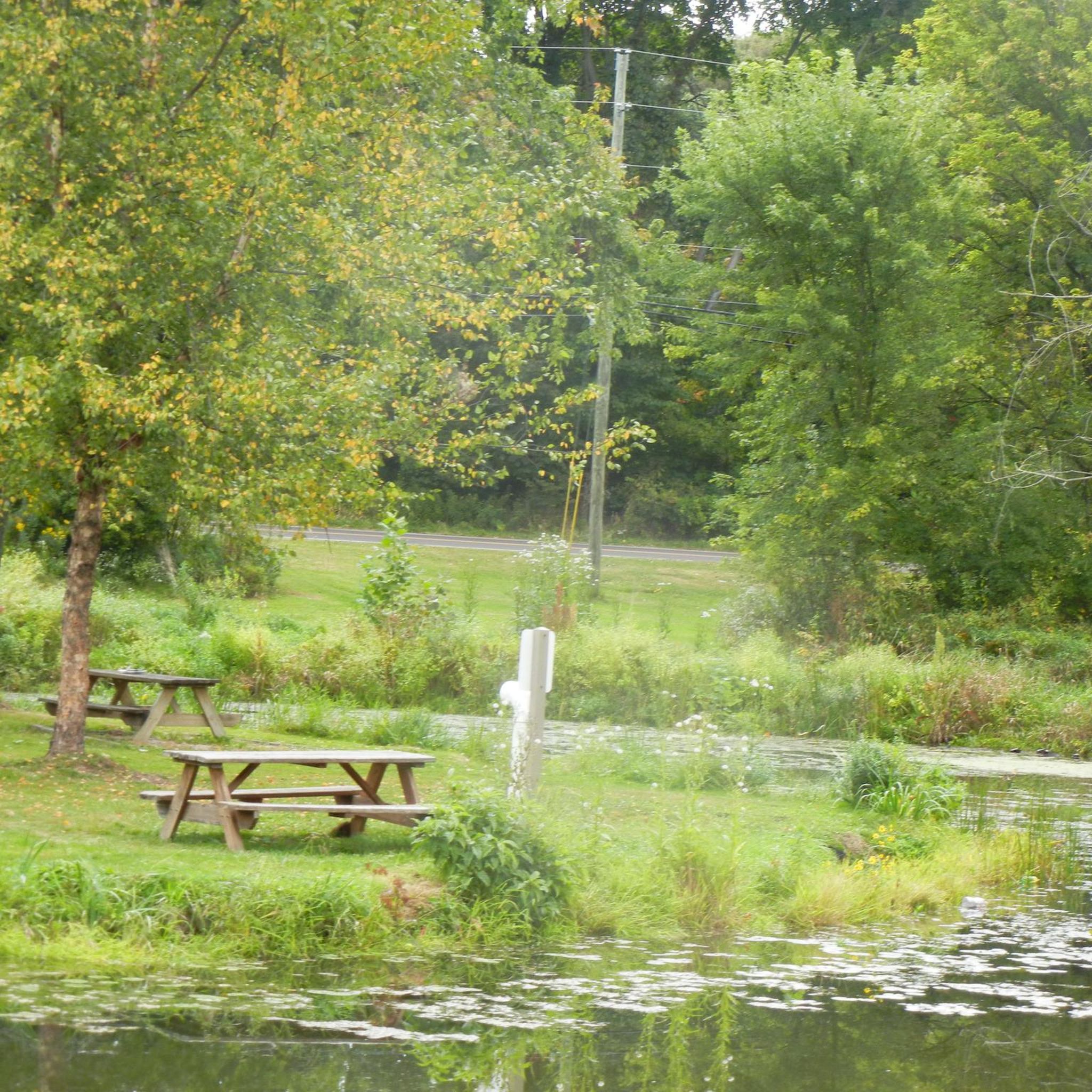
This park gets its name from the historic canal lock located here, the fourth lock south of Summit County. It features picnic tables, grills, a fishing dock, and restrooms, making it a great spot for a break.
0
0
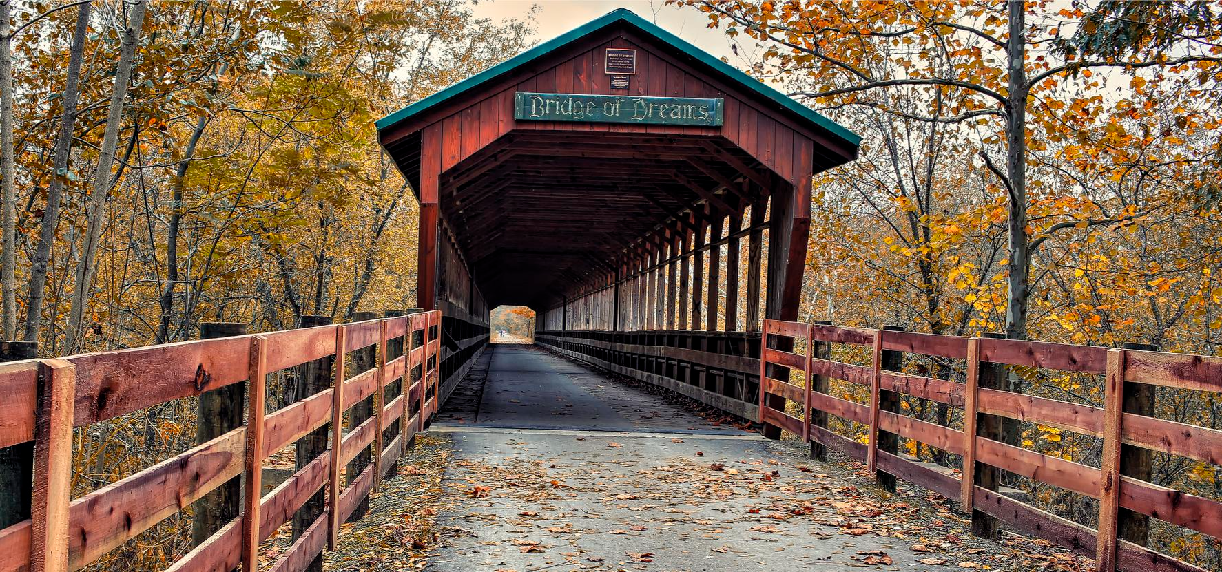
Nice bridge over the Tucarawas River. The wooden bridge is part of the Ohio and Erie Canal Towpath Trail. It is a great place for a quick break to enjoy the view of the river.
1
0
This trail runs for 101 miles along the Ohio & Erie Canal, providing a peaceful run along the water. It's the perfect place to run without headphones and simply enjoy the sounds of nature. This section passes through Crystal Springs, winding through a lush green forest.
0
0
The Tuscarawas River, which is 129.9 miles long, forms part of the Mississippi River watershed. This spot offers great views of the river, and for a higher vantage point, you can go to the Tremont Bridge for a bird's-eye view.
0
0
Frequently Asked Questions
How many road cycling routes are available in Stark County, and what are their difficulty levels?
Stark County offers a variety of road cycling routes, with 8 tours available on komoot. These include 5 easy routes, 2 moderate routes, and 1 difficult route, catering to different skill levels and preferences.
What kind of terrain and elevation can I expect on road cycling routes in Stark County?
Road cycling in Stark County features diverse landscapes, including rolling meadows, wooded areas, and routes that often parallel the Tuscarawas River and the historic Ohio & Erie Canal. Surfaces vary, with options for paved and crushed limestone trails. While many routes are relatively flat, especially along the canal, some routes, like the Summit Lake – Summit Lake loop from Dalton, can feature significant elevation gains, offering a challenge for experienced riders.
Are there any long-distance road cycling routes for experienced riders in Stark County?
Yes, for experienced riders seeking a longer challenge, the Summit Lake – Summit Lake loop from Dalton is an excellent option. This extensive route spans nearly 100 miles (160.6 km) and features over 1,000 meters of elevation gain, traversing varied terrain over approximately 8 hours.
Which road cycling routes are suitable for beginners or those looking for an easy ride?
Beginners or those preferring an easy ride will enjoy routes that follow the historic Ohio & Erie Canal. The Canal Fulton Historic Disctrict – St Helena Heritage Park loop from Canal Fulton is a great choice, offering a 14.6-mile (23.5 km) easy ride through areas connected to the canal. Another easy option is the Lock 4 Park – St Helena Heritage Park loop from Crystal Springs, which is about 17.5 miles (28.1 km) with minimal elevation.
What scenic features or historical landmarks can I see while road cycling in Stark County?
Stark County's routes are rich in scenic beauty and historical significance. Many trails follow the historic Ohio & Erie Canal and the Tuscarawas River, offering picturesque views of rolling meadows, marshes, and wooded areas. You can also encounter historical landmarks such as the Fulton Lock (Lock 4) and Historic House and St Helena Heritage Park. The region's connection to the canal provides a unique blend of nature and history, with remnants of the canal bed visible along many routes.
Are there family-friendly road cycling options in Stark County?
Yes, Stark County offers several family-friendly road cycling options, particularly along the Ohio & Erie Canal Towpath Trail. This trail is known for its flat, shady terrain, making it ideal for families. Routes like the Canal Fulton Historic Disctrict – St Helena Heritage Park loop from Canal Fulton are relatively short and easy, perfect for a leisurely family outing. The presence of parks like Sippo Lake Park also provides accessible paved and dirt trails suitable for all ages.
What do other road cyclists enjoy the most about road cycling in Stark County?
The road cycling routes in Stark County are highly rated by the komoot community, with an average score of 4.7 stars. Reviewers often praise the diverse landscapes, the extensive network of trails, and the unique blend of natural beauty with historical elements, particularly along the Ohio & Erie Canal. The variety of routes, from flat, scenic paths to more challenging rides, is also frequently highlighted.
Are there loop road cycling routes available in Stark County?
Yes, many of the road cycling routes in Stark County are designed as loops, offering convenient starting and ending points. Examples include the popular Canal Fulton Historic Disctrict – St Helena Heritage Park loop from Bike & Hike Trail - Vanderhoof Road Trailhead, the Portage Lakes State Park loop from Turkeyfoot Island, and the Roadbike loop from Navarre. These loops allow cyclists to experience different sections of the region without retracing their steps.
Where can I find parking for road cycling routes in Stark County?
Stark County's extensive trail network, particularly the Ohio & Erie Canal Towpath Trail, is well-equipped with numerous access points. The Towpath Trail alone has 14 trailheads within the county, making it easily accessible with ample parking. Parks like Lock 4 Park and St. Helena Heritage Park, which are featured in several cycling routes, also provide convenient parking facilities for cyclists.
What are some notable trails in Stark County beyond the main routes?
Beyond the main routes, Stark County boasts several notable trails that contribute to its cycling appeal. These include the Hoover Trail, connecting various parks and points of interest, and the Middle Branch Trail, which links neighborhoods and nature in Canton and Plain Township. The Olde Muskingum Trail is another excellent limestone trail paralleling the Tuscarawas River. These trails offer varied experiences and surfaces for cyclists.
Can I find cafes or amenities along the road cycling routes in Stark County?
While specific cafes are not listed for every route, the extensive trail network in Stark County often passes through or near towns and urban areas where amenities are available. For instance, the Ohio & Erie Canal Towpath Trail connects to communities like Canal Fulton, where visitors can find local establishments. The Middle Branch Trail also meanders near attractions like Gervasi Vineyard, offering potential stops for refreshments.
What is the best time of year for road cycling in Stark County?
Stark County offers enjoyable road cycling conditions throughout much of the year. Spring and fall typically provide pleasant temperatures and beautiful scenery with blooming wildflowers or vibrant foliage. Summer is also popular, though riders should be mindful of warmer temperatures. The varied terrain, including shaded sections along the canal, can make cycling comfortable across different seasons.
Most popular routes in Stark County
Most popular attractions in Stark County

Get inspired with the komoot mobile app


Didn’t find what you were looking for?
Check out more Road cycling routes throughout Stark County below and find the perfect route in your destination.
Explore more
Browse the best Road cycling routes in other regions.
