The best running trails in Bayamón Municipio
4.9
(26)
1,999
runners
45
runs
Jogging routes in Bayamón Municipio traverse a landscape characterized by its northern coastal plain, featuring several rivers and karstic hills. The region offers a mix of flat, riverside paths and varied topography, providing diverse options for runners. Notable features include the extensive Paseo Lineal Río Bayamón, which offers dedicated paths along the river, and numerous public parks. Towards the south, the municipality includes more mountainous areas with higher elevations.
Best jogging routes in Bayamón Municipio
- The most popular jogging route…
Last updated: September 1, 2026
56
runners
10.7km
01:06
20m
20m
Moderate run. Good fitness required. Mostly paved surfaces. Suitable for all skill levels.
44
runners
16.3km
01:40
30m
30m
Hard run. Very good fitness required. Mostly paved surfaces. Suitable for all skill levels.

Sign up for free
17
runners
7.16km
00:47
90m
90m
Moderate run. Good fitness required. Mostly accessible paths. Some sure footedness required.
9
runners
20.5km
02:06
20m
20m
Hard run. Very good fitness required. Mostly paved surfaces. Suitable for all skill levels.
14
runners
3.09km
00:19
0m
0m
Easy run. Great for any fitness level. Mostly paved surfaces. Suitable for all skill levels.
9
runners
11.8km
01:13
20m
20m
Moderate run. Good fitness required. Mostly paved surfaces. Suitable for all skill levels.
7
runners
2.99km
00:18
0m
0m
Easy run. Great for any fitness level. Mostly paved surfaces. Suitable for all skill levels.
4
runners
7.26km
00:46
60m
60m
Moderate run. Good fitness required. Mostly paved surfaces. Suitable for all skill levels.
Get access to more routes and recommendations from other explorers.
Sign up for free
Already have an account?
Our route recommendations are based on thousands of hikes, rides, and runs completed by other people on komoot.
Start today with a free account
Your next adventure awaits.
Login or Signup



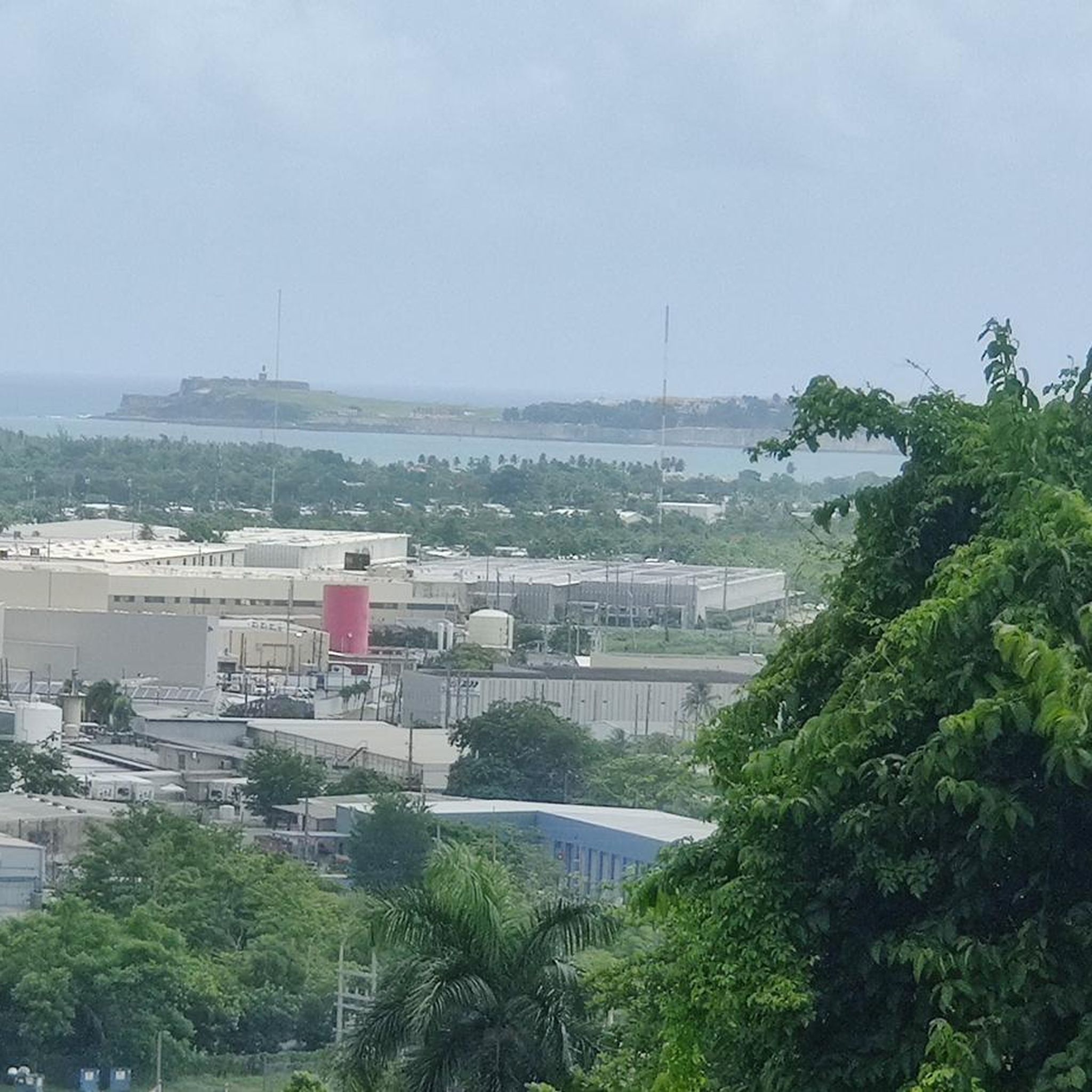

Tips from the Community

After three o'clock the weather gets cooler for running.
0
0

Paseo Lineal Río Bayamón offers one of Puerto Rico's best paved routes, starting in Bayamón and stretching 5.5 miles along the river to Ensenada de Boca Vieja. The path winds through a manicured park, with separate lanes for cyclists and pedestrians. Along the way are exercise stations, rest stops, and river views.
0
1

You can road all the way from Cataño county or you can drive until Punta Salinas beach and ride from there. If you came from west, you can drive trough Dorado county. The reference is allways the 165 road number. This sections is closed on Sunday mornings to cars and open exclusive to bicycle riders or pedestrians. On vacations days, the county dons't closes to cars on sundays. You can drive this road any day, even the hurricane one, but unless your own risk.
0
0

Family park to walk, running, bike They have separate lanes for walk/running and bikes
4
0

Frequently Asked Questions
What kind of terrain can I expect on running routes in Bayamón Municipio?
Running routes in Bayamón Municipio offer a diverse landscape. You'll find flat, serene paths along rivers like the Río Bayamón, especially along the extensive Paseo Lineal Río Bayamón. The region also features urban parkland and coastal routes. Towards the south, you can encounter more varied topography with karstic hills and higher elevations, providing a mix of challenges and scenery.
Are there running routes suitable for beginners or those looking for an easy jog?
Yes, Bayamón Municipio offers several easy running routes. For instance, the Running loop from Estadio Juan Ramón Loubriel is an easy 1.9-mile (2.9 km) path. Another option is the Easy Run loop from Puerto Rico National Cemetery, which is about 1.9 miles (3.1 km) long and has minimal elevation gain.
What do other runners say about the trails in Bayamón Municipio?
The running routes in Bayamón Municipio are highly regarded by the komoot community, boasting an average rating of 4.9 out of 5 stars from over 18 reviews. Runners often praise the varied terrain, from peaceful riverside paths to scenic coastal views, and the well-maintained park environments.
Are there any long-distance running routes for experienced runners?
Absolutely. For those seeking a longer challenge, the Toa Baja Bay loop from Levittown is a difficult 16-mile (25.7 km) route. Another substantial option is the Running loop from Parque Nacional Julio Enrique Monagas, which covers about 7.2 miles (11.6 km) with some elevation changes.
Can I find running routes that are family-friendly or suitable for children?
Many parks in Bayamón Municipio are excellent for family outings and light jogging. The Paseo Lineal Río Bayamón, with its separate pedestrian paths, is ideal. Additionally, the Luis A. Ferré Science Park (Parque de las Ciencias) offers ample space for walking and family activities, including playgrounds and a pond, making it a great spot for a family jog.
Are there any running routes with notable landmarks or scenic views?
Yes, several routes offer scenic views and pass by interesting landmarks. The Paseo Lineal Río Bayamón provides picturesque views along the river. For urban and coastal scenery, consider routes like the Playa de Levittown loop from Isla de las Palomas, which offers views of the coast. The karstic hills in the region, particularly around the Parque de las Ciencias, also provide elevated viewpoints.
What are the options for parking and public transport near running trails?
Many of Bayamón's parks and linear paths, such as the Paseo Lineal Río Bayamón, offer dedicated parking facilities. For public transport, Bayamón has a public transportation system, including the Tren Urbano, which can provide access to certain areas. It's advisable to check specific route starting points for the most convenient parking or public transport connections.
Are there any circular running routes in Bayamón Municipio?
Yes, many of the running routes in Bayamón Municipio are designed as loops, offering a convenient way to start and end your run at the same point. Examples include the Easy Run loop from Deportivo and the Running loop from Cataño, both of which are moderate loops.
When is the best time of year to go running in Bayamón Municipio?
Bayamón Municipio has a tropical climate, meaning warm temperatures year-round. The cooler, drier months from December to April are generally considered the most comfortable for outdoor activities like running. During the wetter season (May to November), early mornings or late afternoons are preferable to avoid the midday heat and potential rain showers.
Are there facilities like restrooms or water stops along the running paths?
Yes, particularly along the popular Paseo Lineal Río Bayamón, you'll find amenities such as rest stops, bathrooms, and water fountains. Some larger parks, like the Luis A. Ferré Science Park and Bayamón Central Park, also provide facilities for visitors.
Can I find running routes that are dog-friendly?
While specific dog-friendly rules can vary by park, many public parks and linear paths in Bayamón Municipio are generally welcoming to leashed dogs. The Paseo Lineal Río Bayamón is a popular spot for dog walkers and runners. Always ensure your dog is on a leash and that you clean up after them to maintain a pleasant environment for everyone.
Most popular routes in Bayamón Municipio

Get inspired with the komoot mobile app


Didn’t find what you were looking for?
Check out more Running Trails & Routes throughout Bayamón Municipio below and find the perfect route in your destination.
Explore more
Browse the best Running Trails & Routes in other regions.
