The best road cycling routes in Adams County
4.5
(32)
1,496
riders
67
rides
Road cycling in Adams County offers diverse landscapes, from expansive rural areas to scenic river corridors. The region features quiet country roads, agricultural lands with orchards and farms, and views of distant mountains. Cyclists can find routes traversing open plains, following river trails, and exploring natural wildlife refuges.
Best road cycling routes in Adams County
- The most popular road cycling route is US 36 Bikeway and Boulder Loop, a 44.2 miles (71.1 km) trail that takes 3 hours 52…
Last updated: July 7, 2026
4.8
(5)
162
riders
71.1km
03:53
560m
560m
This moderate road cycling route combines the dedicated US 36 Bikeway with Boulder's extensive loop system, offering a diverse ride through urban and natural landscapes. You'll pedal past open spaces…
109
riders
34.2km
05:14
90m
90m
Cycle the 21.2-mile Rocky Mountain Arsenal Perimeter Trail for wildlife viewing, prairie views, and a challenging gravel ride.

Sign up for free
4.2
(5)
52
riders
50.7km
02:23
130m
130m
The South Platte River Trail Loop offers a versatile road cycling experience, blending Denver's urban landscape with tranquil riverside scenery. You'll pedal along the South Platte River, enjoying views of…
5
riders
149km
07:28
420m
420m
Cycle the difficult 92.4-mile South Platte River Trail, gaining 1372 feet in elevation through diverse Denver landscapes.
87.3km
04:06
330m
330m
This 54.3-mile racebike loop around Denver offers moderate difficulty and diverse urban and natural scenery.
2
riders
23.5km
01:04
70m
70m
This easy 14.6-mile road cycling loop on the South Platte River Trail offers urban views, river scenery, and mountain backdrops.
5.0
(4)
165
riders
Moderate road ride. Good fitness required. Mostly well-paved surfaces and easy to ride.
77
riders
The Bridge into Golden – View from Chatfield Dam loop offers a challenging road cycling experience through diverse Colorado landscapes. You'll traverse extensive paved trails and urban greenways in Arvada,…
5.0
(2)
79
riders
52.6km
02:39
170m
170m
Moderate road ride. Good fitness required. Some segments of this route may be unpaved and difficult to ride.
46
riders
44.6km
02:15
220m
220m
Moderate road ride. Good fitness required. Some segments of this route may be unpaved and difficult to ride.
Get access to more routes and recommendations from other explorers.
Sign up for free
Already have an account?
Our route recommendations are based on thousands of hikes, rides, and runs completed by other people on komoot.
Start today with a free account
Your next adventure awaits.
Login or Signup
Popular around Adams County
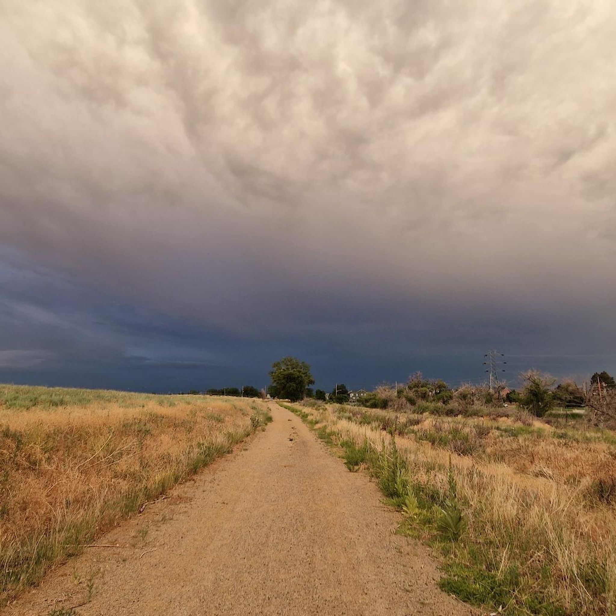
Road Cycling Routes around Commerce City
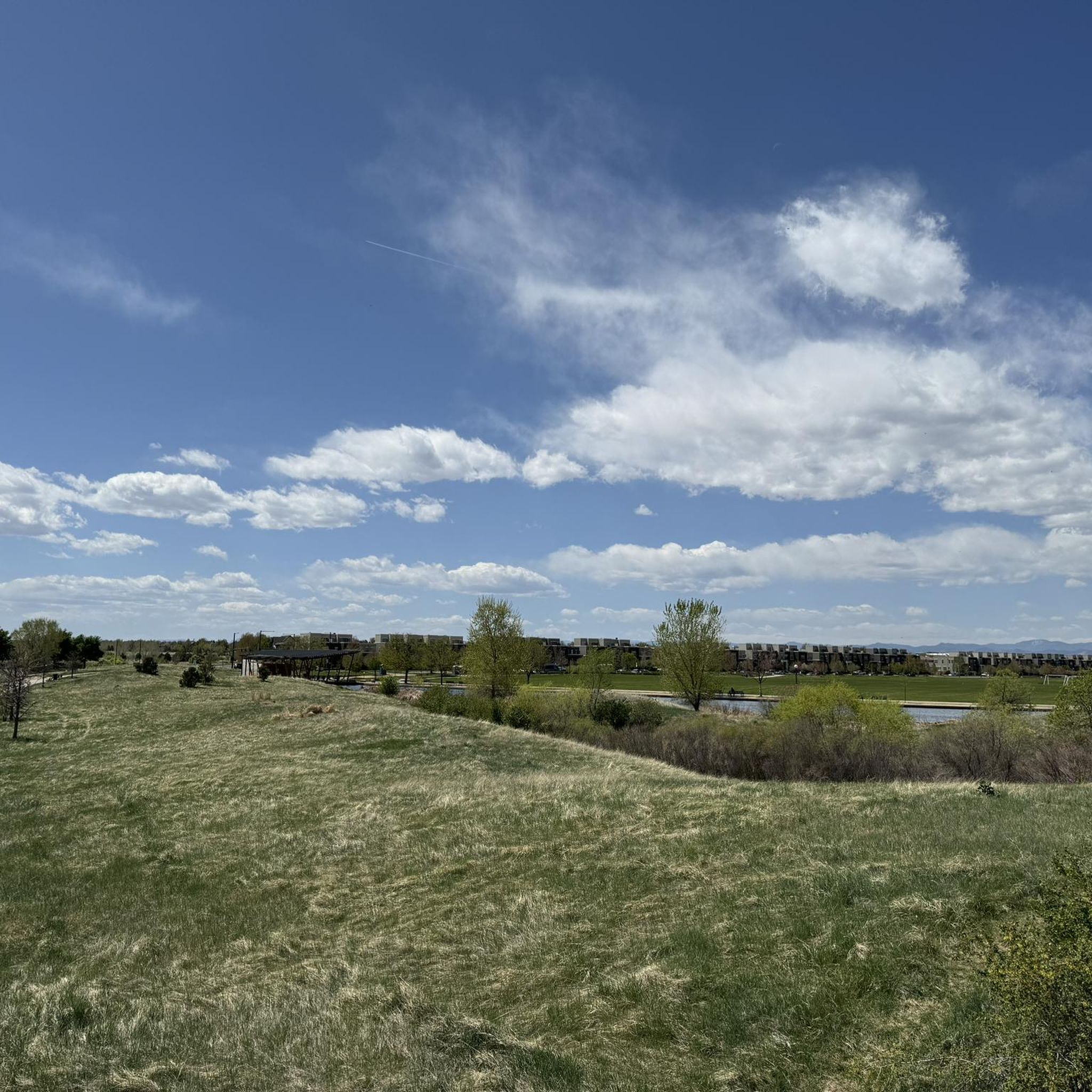
Road Cycling Routes in Rocky Mountain Arsenal National Wildlife Refuge
Road Cycling Routes around Twin Lakes
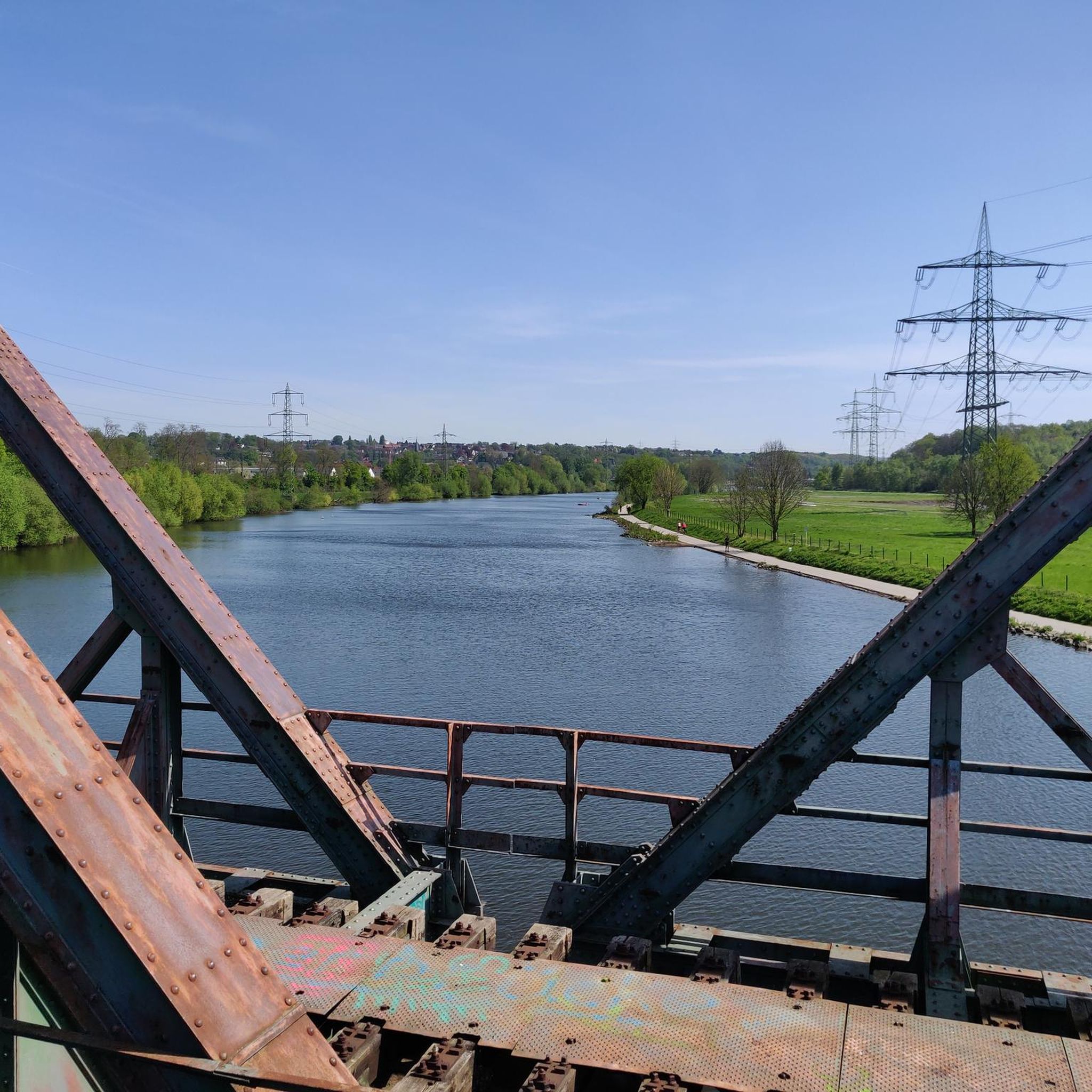
Road Cycling Routes around Federal Heights
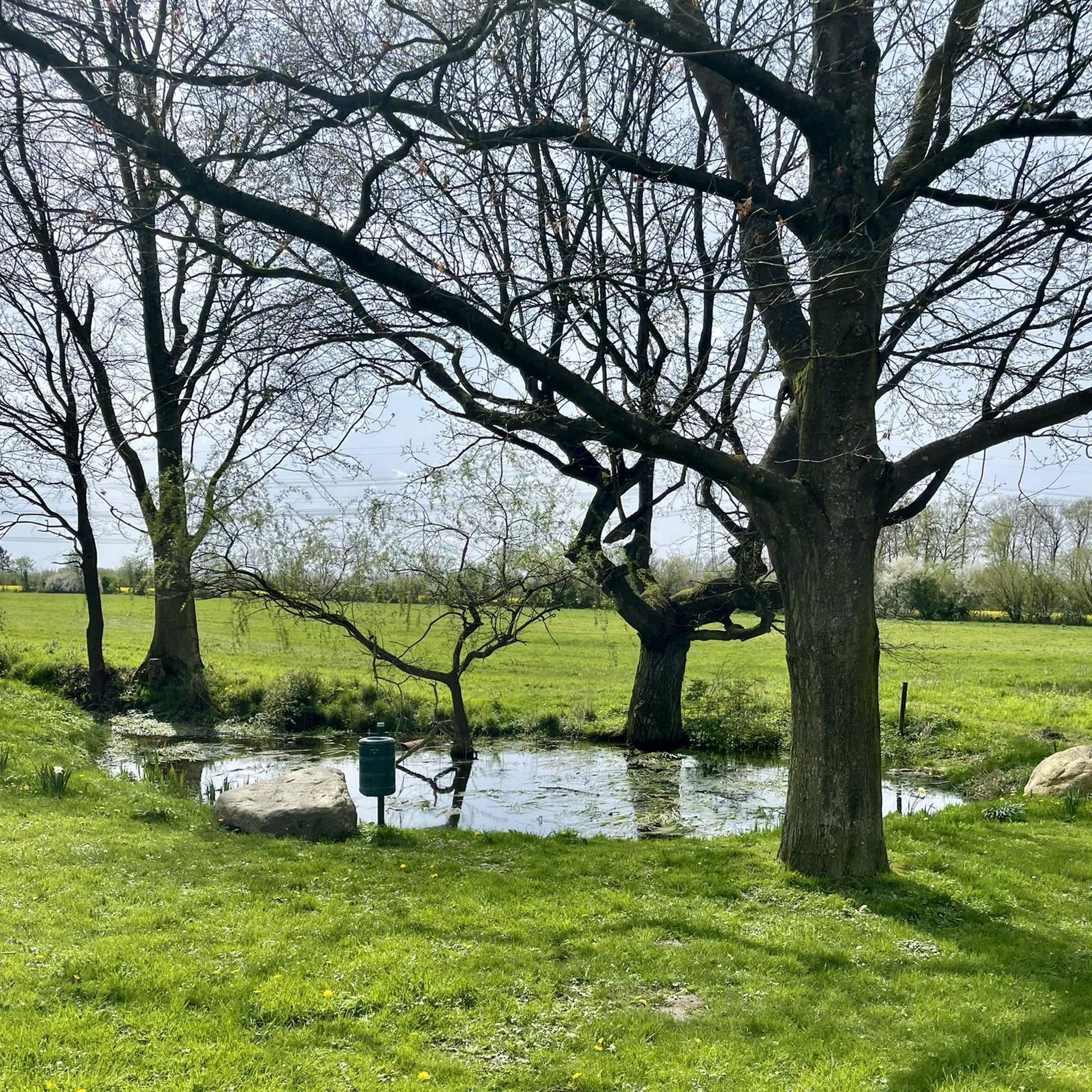
Road Cycling Routes around Sherrelwood
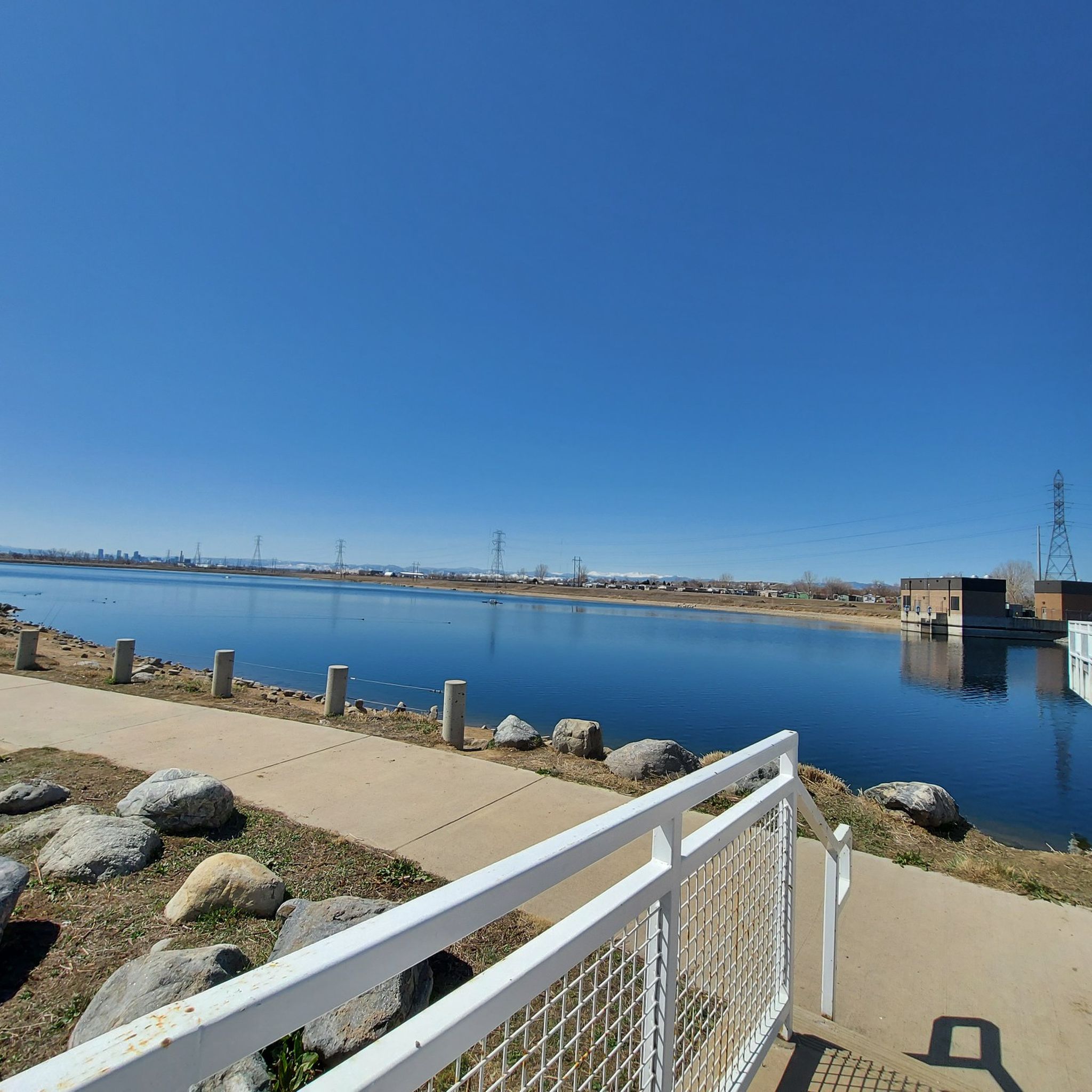
Road Cycling Routes around Welby

Road Cycling Routes around Derby
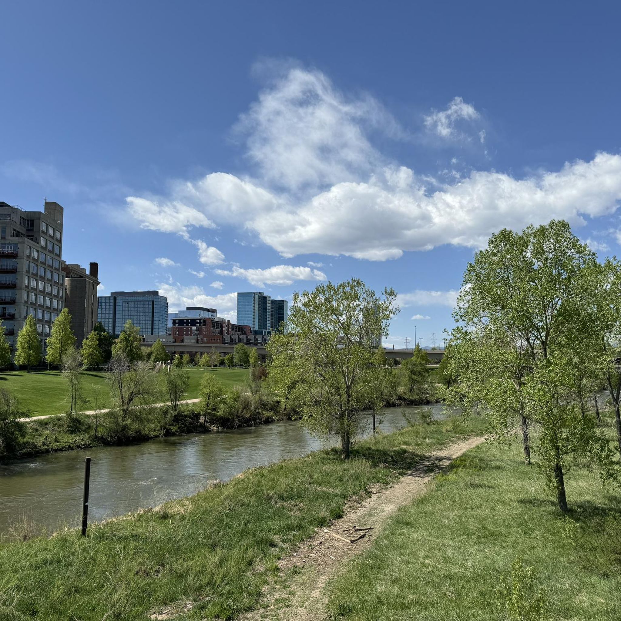
Road Cycling Routes around Berkley
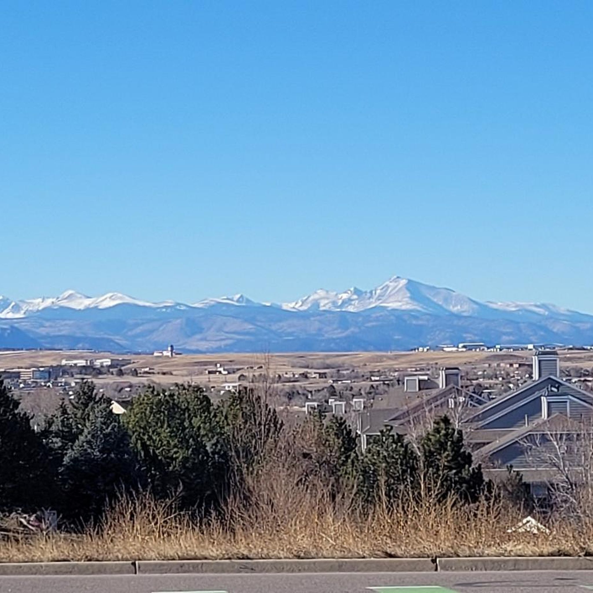
Road Cycling Routes around Shaw Heights
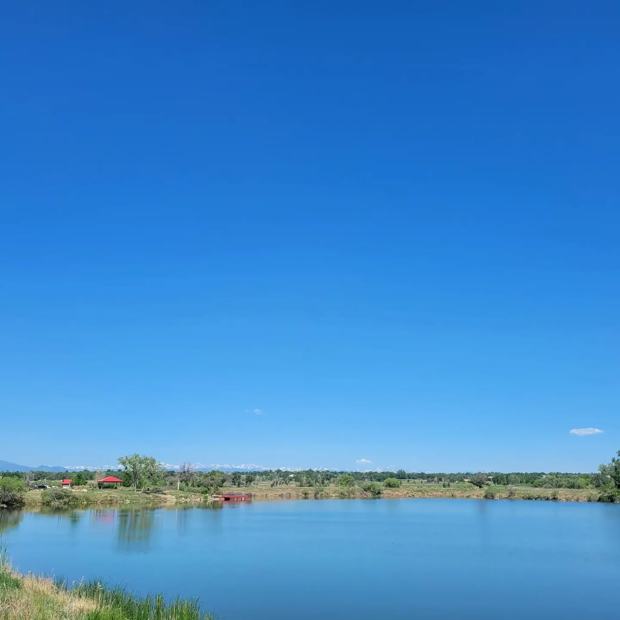
Road Cycling Routes in Riverdale Regional Park
Tips from the Community

The South Platte River Trail runs for nearly 35 miles through the suburbs and city of Denver, Colorado. This paved, multi-use path is popular with runners and walkers as well as bike commuters but is also a fantastic way to explore the Denver area on a long weekend ride away from traffic. The trail provides access to numerous parks, including Chatfield State Park at its far southern end. The South Platte River Trail is part of a larger network of trails in the Denver metropolitan area, connecting to the Cherry Creek Trail and the High Line Canal Trail, among others. It offers great views of the foothills, river, and wildlife as you ride.
0
0

The Chatfield Reservoir is a 1,423-acre lake in Chatfield State Park. There is a hiking path that runs alongside the water.
0
0
Great view of the South Platte River from the cycle trail. The trail is popular with walkers, runners, and cyclists, so if you want to stop to enjoy the view, make sure you pull off to the side.
0
0
Empower Field at Mile High, often called Mile High Stadium, is Denver’s iconic sports venue and home to the NFL’s Denver Broncos. Located near downtown, the stadium sits 5,280 feet above sea level, giving it its name. Opened in 2001, it replaced the original Mile High Stadium and can accommodate over 76,000 fans. The stadium hosts football games, concerts, and other large-scale events and features panoramic views of Denver and the Rocky Mountains. Outside, the "Bucky the Bronco" statue symbolizes the team and its history.
1
0

Great stop on the Platte River Trail, good coffer, place to sit and relx
1
0
The Rocky Mountain Greenway Trail, or Greenway Trail, is one of the main trails on the southern side of the Rocky Mountain Arsenal National Wildlife Refuge. It helps connect different trails to each other, but unlike some of the other trails, this one is open for bikes. Although it can be a little dry and loose, overall this is very easy, well-graded, gravel trail. Another nice feature of this trail is that dogs are not allowed.
0
0

Clear Creek, a vibrant waterway roughly 66 miles long, originates in the Rocky Mountains west of Denver, finally meeting with the South Platte River. The contrast in the water's color and flow is often noticeable, with Clear Creek's clear, fast-moving water meeting the South Platte's slower, sometimes more opaque flow.
0
0
Located just behind Front Range Community College, this butterfly shaped pond offers a great place to relax and enjoy a picnic in the open meadows. You might even see some birds, squirrels, rabbits, or even the occasional fox.
1
0
Frequently Asked Questions
How many road cycling routes are available in Adams County?
Adams County offers a wide selection of road cycling routes, with over 75 routes available on komoot. These routes cater to various skill levels, from easy loops to more challenging long-distance rides.
What do other road cyclists enjoy most about cycling in Adams County?
The road cycling routes in Adams County are highly rated by the komoot community, with an average score of 4.5 stars from over 30 reviews. Cyclists often praise the diverse landscapes, from expansive rural areas and agricultural lands to scenic river corridors and open plains, providing varied and engaging rides.
What kind of terrain can I expect on road cycling routes in Adams County?
Road cycling in Adams County features diverse terrain. You'll find routes traversing open plains, following river trails like the South Platte River Trail Loop, and exploring natural wildlife refuges. While many routes offer relatively flat sections, some, like the US 36 Bikeway and Boulder Loop, include moderate elevation gains, providing a good workout.
Are there road cycling routes suitable for beginners in Adams County?
Yes, Adams County has 26 easy road cycling routes perfect for beginners or those looking for a relaxed ride. An example is the shorter South Platte River Trail Loop, which offers a gentle experience through river corridors and urban green spaces.
Are there challenging road cycling routes for experienced riders in Adams County?
Experienced riders will find 6 difficult road cycling routes in Adams County. These include longer distances and more significant elevation changes. The Rocky Mountain Arsenal National Wildlife Refuge Perimeter Trail, for instance, offers a challenging 21.2-mile ride with views of open plains and wildlife.
What natural features or landmarks can I see along road cycling routes in Adams County?
Many routes in Adams County offer scenic views and pass by notable natural features. You can explore areas like the Lowell Ponds Wildlife Area, Bluff Lake Park, and the South Platte River. The Rocky Mountain Arsenal National Wildlife Refuge Perimeter Trail provides opportunities to spot wildlife within a protected natural area.
Are there circular road cycling routes in Adams County?
Yes, many road cycling routes in Adams County are designed as loops, allowing you to start and end at the same point. Examples include the South Platte River Trail Loop and the US 36 Bikeway and Boulder Loop, which offer convenient circular journeys.
What are the typical lengths of road cycling routes in Adams County?
Road cycling routes in Adams County vary significantly in length. You can find shorter loops, such as the 13.5-mile South Platte River Trail Loop, as well as much longer rides like the South Platte River Trail, which extends for over 90 miles.
When is the best time of year to go road cycling in Adams County?
Adams County offers good road cycling conditions throughout much of the year. Spring and fall provide pleasant temperatures and beautiful scenery, especially with changing foliage. Summer is also popular, though it can be warmer. Winter cycling is possible, but conditions may vary, and some trails might be affected by snow or ice.
Are there family-friendly road cycling routes in Adams County?
Absolutely. Many of the easier and moderate routes in Adams County are suitable for families. These often feature paved surfaces and relatively flat terrain, such as sections of the South Platte River Trail Loop, which winds through urban green spaces and offers a safe environment for all ages.
Is public transport accessible near road cycling routes in Adams County?
Adams County, Colorado, has an extensive public multimodal trail system designed for both recreation and regional transportation. Many trails are integrated with the local transit network, making it possible to access routes via public transport. For specific details on public transport access points, it's best to check local transit maps and schedules.
Where can I find parking for road cycling routes in Adams County?
Parking is generally available at various access points along the road cycling routes in Adams County, particularly near parks and trailheads. Many regional parks, such as Riverdale Regional Park and Clear Creek Valley Park, offer dedicated parking facilities for trail users.
Most popular routes in Adams County
Most popular attractions in Adams County

Get inspired with the komoot mobile app


Didn’t find what you were looking for?
Check out more Road cycling routes throughout Adams County below and find the perfect route in your destination.
Explore more
Browse the best Road cycling routes in other regions.
