The best running trails in Jackson County
21
runners
2
runs
Jogging in Jackson County offers a diverse range of routes, from paved greenways along rivers to more challenging trails through forests and hills. The region features extensive trail systems, including linear parks that traverse natural springs and lakes, as well as single-track paths with varied elevation. Runners can explore areas characterized by dense woodlands, open fields, and scenic waterways. This varied landscape provides options for different running preferences and fitness levels.
Best jogging routes in Jackson County
- The most popular…
Last updated: June 29, 2026
5.35km
00:41
90m
90m
Moderate run. Good fitness required. Mostly paved surfaces. Suitable for all skill levels.
9
runners
19.6km
02:03
150m
150m
Hard run. Very good fitness required. Mostly paved surfaces. Suitable for all skill levels.

Sign up for free
12
runners
6.60km
00:41
10m
10m
Moderate run. Good fitness required. Mostly paved surfaces. Suitable for all skill levels.
Our route recommendations are based on thousands of hikes, rides, and runs completed by other people on komoot.
Start today with a free account
Your next adventure awaits.
Login or Signup
Popular around Jackson County

Tips from the Community

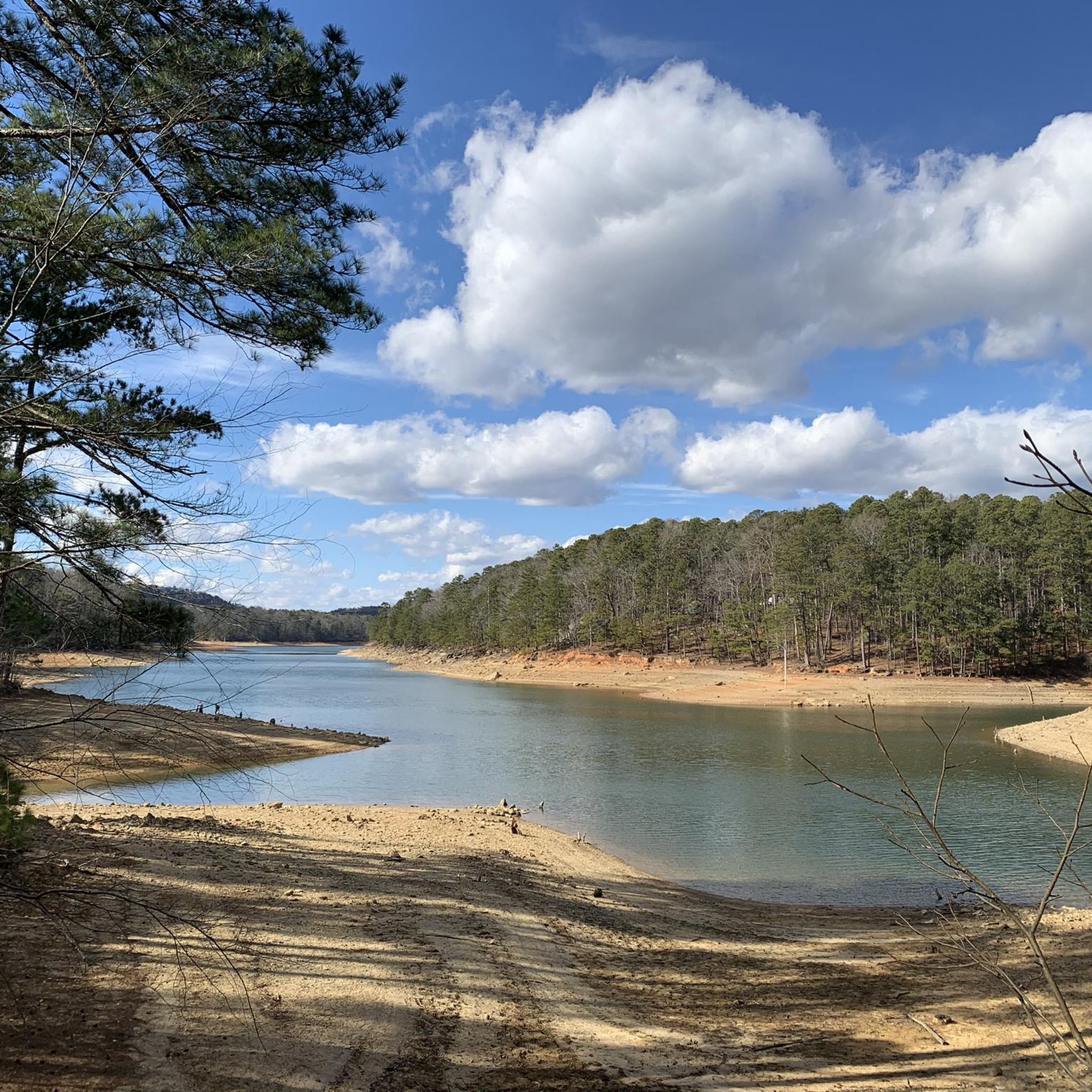
Little Cedar Mountain reaches up to about 1,460 feet, but the best viewpoint on the mountain comes just south of the actual summit. This official overlook points over Nickajack Lake and the hills surrounding the valley. There is one main trail that passes this overlook, and it creates a popular loop that totals just over 3 miles.
0
0
Little Cedar Mountain reaches up to about 1,460 feet, but the best viewpoint on the mountain comes just south of the actual summit. This official overlook points over Nickajack Lake and the hills surrounding the valley. There is one main trail that passes this overlook, and it creates a popular loop that totals just over 3 miles.
0
0

The Flint River Greenway is a beautiful fully paved greenway near Huntsville, Alabama. It is 5 miles long and uses several bridges to cross the Flint River. The trail passes through the Hays Nature Preserve, which is home to many animals including rabbits, deer and birds.
1
0
Frequently Asked Questions
What types of running routes can I find in Jackson County?
Jackson County offers a diverse range of running routes, from paved greenways along rivers to more challenging trails through forests and hills. You'll find options with gentle grades and others with significant ascents, catering to various fitness levels. Routes often feature scenic waterways and dense woodlands.
Are there any easy or beginner-friendly jogging routes in Jackson County?
While the provided routes include moderate and difficult options, many Jackson Counties feature greenways and multi-use trails that are generally flatter and suitable for beginners. For example, the Flint River Greenway loop from Buffalo Island is a moderate 4.1-mile route with minimal elevation gain, making it a good option for a less strenuous run.
What is the longest running route available in this guide for Jackson County?
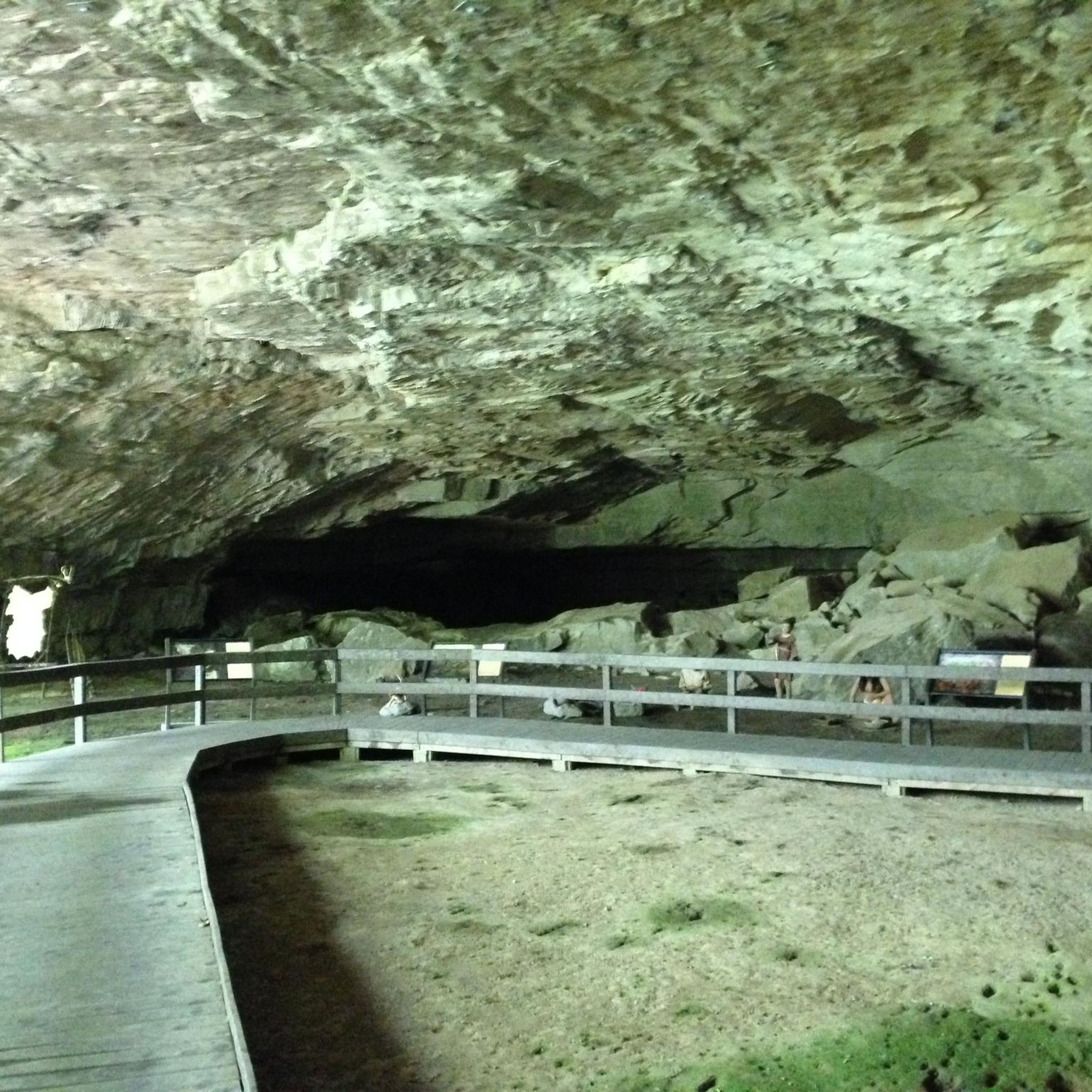
The longest running route featured in this guide is the Running loop from Cathedral Caverns. This challenging path spans 12.2 miles (19.6 km) and includes an elevation gain of 480 feet (146 meters), offering a substantial workout for experienced runners.
Are there any circular jogging routes in Jackson County?
Yes, several circular routes are available. For instance, the Little Cedar Mountain Loop Trail is a moderate 3.3-mile (5.4 km) loop. Another option is the Flint River Greenway loop from Buffalo Island, which is a 4.1-mile (6.6 km) loop.
Can I find dog-friendly running trails in Jackson County?
Many areas within Jackson County are dog-friendly, particularly on multi-use trails and in designated parks. For example, in Jackson County, Michigan, the Bruce Tanner Trails and MacCready Reserve offer dog-friendly options. Always check local regulations for specific trails regarding leash requirements and waste disposal.
Are there family-friendly jogging routes suitable for all ages?
Yes, Jackson County offers family-friendly options. Greenways and paved multi-use paths, often found alongside rivers, provide gentler terrain suitable for families. The Dahlem Conservancy in Jackson County, Michigan, even features a 3/8-mile 'Nature For All Trail' accessible for those with limited mobility, which can be great for families with strollers or young children.
What kind of scenery can I expect while running in Jackson County?
Runners in Jackson County can enjoy diverse scenery, including views of natural springs and lakes, dense forests, open fields, and scenic riverfronts. Depending on the specific location, you might encounter historic cityscapes, or even man-made attractions like The Cascades in Jackson County, Michigan, a 500-foot-tall illuminated waterfall.
How long do the running routes in Jackson County typically take to complete?
The duration varies significantly based on the route's length and difficulty. For example, the moderate Little Cedar Mountain Loop Trail typically takes about 40 minutes. In contrast, the challenging Running loop from Cathedral Caverns can take over two hours to complete.
Are there any running routes with significant elevation gain for a challenging workout?
Absolutely. For a challenging workout, consider routes like the Running loop from Cathedral Caverns, which features an elevation gain of 480 feet (146 meters) over 12.2 miles. Another difficult option is the Main Overlook loop from Dade County, with an impressive 320 meters of elevation gain.
What do other runners say about jogging in Jackson County?
Over 32 runners have used komoot to explore Jackson County's varied terrain. Users often praise the region's diverse landscapes, which offer everything from gentle greenways to challenging forested trails, providing options for different ability levels and preferences.
Are there any specific landmarks or points of interest along the running routes?
While specific landmarks vary by route, many trails offer scenic views. For instance, the Falling Waters Trail in Jackson County, Michigan, provides views of Lime Lake. Other areas might feature river views, dense woodlands, or even unique attractions like The Cascades in Michigan, a notable man-made waterfall.
What is the best time of year for running in Jackson County?
Jackson County offers opportunities for running year-round, but the best time often depends on personal preference and the specific climate of the region. Spring and fall generally provide mild temperatures and beautiful scenery. Summer mornings or evenings can be pleasant, while winter running is possible on well-maintained paths, though conditions may vary.
Are there options for parking near the running trails?
Yes, many popular running trails and greenways in Jackson County offer designated parking areas. It's always advisable to check specific trailheads or park websites for detailed information on parking availability and any associated fees before you go.
Most popular routes in Jackson County

Get inspired with the komoot mobile app


Didn’t find what you were looking for?
Check out more Running Trails & Routes throughout Jackson County below and find the perfect route in your destination.
Explore more
Browse the best Running Trails & Routes in other regions.
