Routes

Planner

Features

Updates

App

Login or Signup

Get the App

Login or Signup

Routes
Cycling routes
United States
Washington

Kittitas County

The best cycling routes in Kittitas County

4.8

(15)

378

riders

32

rides

Touring cycling routes in Kittitas County traverse a diverse landscape, from the eastern slopes of the Cascade Mountains to the fertile Kittitas Valley. The region features winding rivers, expansive farmlands, and dramatic basalt cliffs, offering varied terrain for cyclists. Key natural features include segments of the Palouse to Cascades State Park Trail and the scenic Yakima River Canyon. The area provides a range of cycling experiences across forests, valleys, and former railway lines.

Best touring cycling routes in Kittitas County

  • The most popular touring cycling route is Palouse to Cascades State Park Trail: Hyak to Easton, a 35.8 miles (57.6 km) trail that takes 5 hours 19 minutes to complete. This route follows a former railway line, offering diverse scenery and a challenging ride.
  • Another top favourite among local touring cyclists is Yakima Canyon Road, a moderate 35.9 miles (57.8 km) path. This route winds through the scenic Yakima River Canyon, characterized by basalt cliffs and the winding river.
  • Local touring cyclists also love the Coal Mines Trail, a 10.4 miles (16.7 km) trail leading through wooded areas and past historical coal mining remains, often completed in about 1 hour 9 minutes.
  • Touring cycling in Kittitas County is defined by the Cascade Mountains, the Palouse to Cascades State Park Trail, and the Yakima River Canyon. The network offers options for various ability levels, from easy paths to more difficult routes.
  • The routes in Kittitas County are highly rated by the komoot community with an average score of 4.8 stars from over 10 reviews. More than 300 touring cyclists have used komoot to explore Kittitas County's varied terrain.

Last updated: June 23, 2026

5.0

(2)

29

riders

#1.

Palouse to Cascades State Park Trail: Hyak to Easton

57.6km

05:19

360m

360m

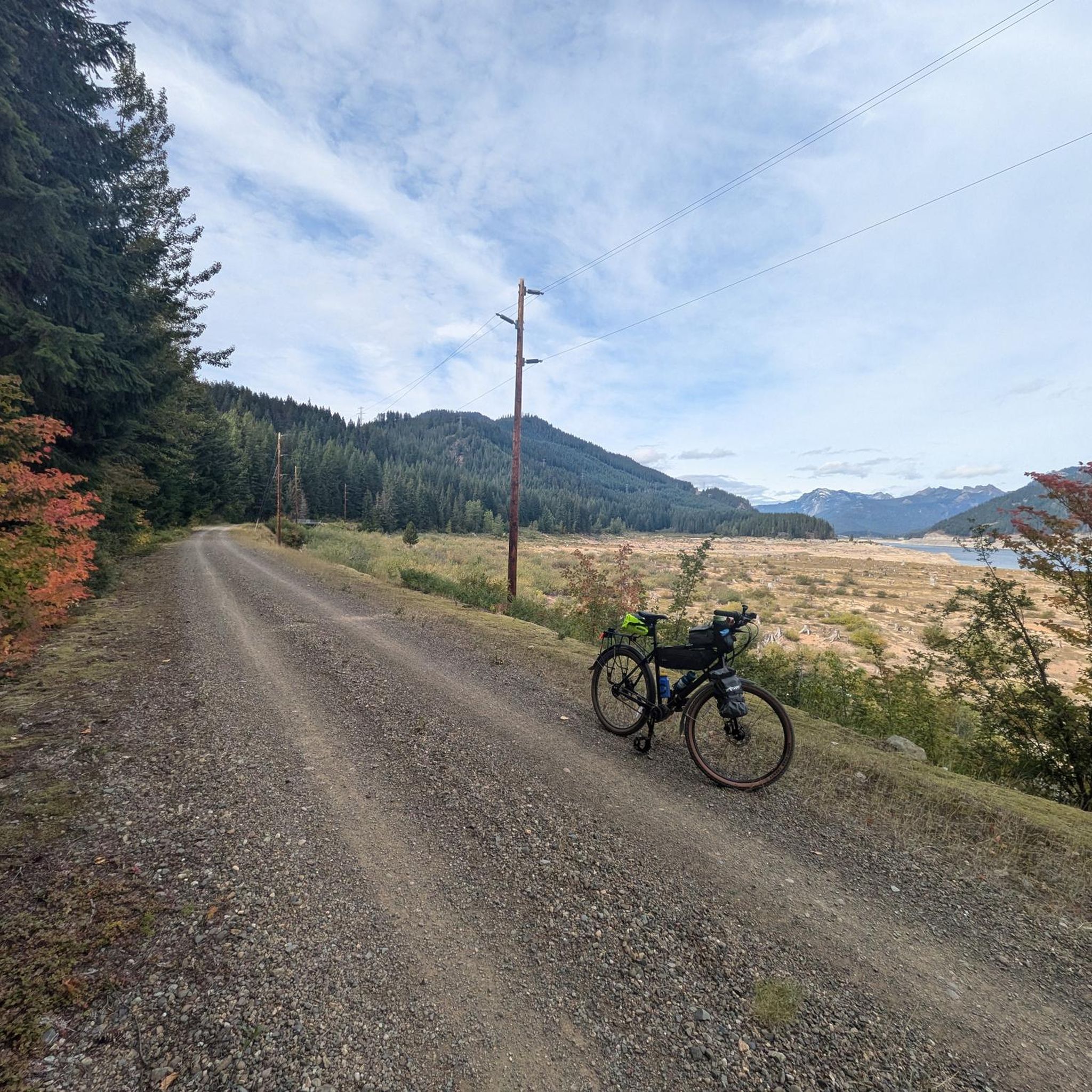
The Palouse to Cascades State Park Trail from Hyak to Easton offers a rugged and scenic touring cycling adventure, traversing a historic railroad bed through changing landscapes. You'll pedal through dense forests of firs and hemlocks, eventually opening up to drier, more expansive views of the Cascade Peaks. The route features the impressive 2.3-mile (3.7 km) Snoqualmie Tunnel, a dark and chilly passage, and offers tranquil moments by Lake Easton, making for a memorable ride.

This difficult 35.8-mile (57.6 km) cycling route, with 1180 feet (360 metres) of elevation gain and an estimated duration of 5 hours and 19 minutes, requires careful planning. Crucially, as of December 2025, this section of the trail was reported closed due to washouts, so always verify current conditions before you go. The Snoqualmie Tunnel is also closed seasonally from November 1st to May 1st, and the unpaved, compacted gravel surface is best tackled with a mountain or fat-tire bike.

Following the path of the old Milwaukee Road, this trail is rich in history, offering a glimpse into the region's past. Beyond the tunnel, you'll cross several high trestles that provide spectacular viewpoints, and Lake Easton State Park offers amenities along the way. Primitive campsites are available at Cold Creek and Roaring Creek for those looking to extend their journey, though potable water is not supplied there.

Navigate with device

Send to Phone

Save

Hard

5.0

(1)

15

riders

Embark on a touring cycling adventure along the Palouse to Cascades State Park Trail, a moderate 27.3-mile (43.9 km) route that guides you through a remarkable transition from the dense, green forests of the Cascade Mountains to the drier, open landscapes of central Washington. With 601 feet (183 metres) of elevation gain and an estimated duration of 4 hours and 7 minutes, this segment offers a diverse experience, showcasing historic rail features and natural beauty, including views near Lake Easton State Park.

Planning your ride requires attention to the Palouse to Cascades Trail surface type; while much of it is light gravel, be prepared for sections with loose gravel and soft sand, making wider tires a smart choice. Always check the Washington State Parks website for the latest trail conditions and potential closures, especially concerning the Snoqualmie Tunnel, which is typically inaccessible from November through April. Carrying sufficient water is also essential, particularly in more remote areas.

This trail segment is part of the historic "Milwaukee Road" corridor, offering a tangible connection to the region's railway heritage and its role in the developing Great American Rail-Trail. It provides a unique opportunity to witness Washington's diverse ecosystems firsthand, from lush forests to arid shrub-steppe, making it a compelling choice for those interested in Palouse to Cascades State Park Trail touring cycling difficulty and varied scenery.

Moderate
guide_signup
Let us show you the way with the komoot mobile app
With a free komoot account, you can easily find, customize, and navigate endless outdoor adventures.

Sign up for free

5.0

(1)

11

riders

16.7km

01:09

140m

140m

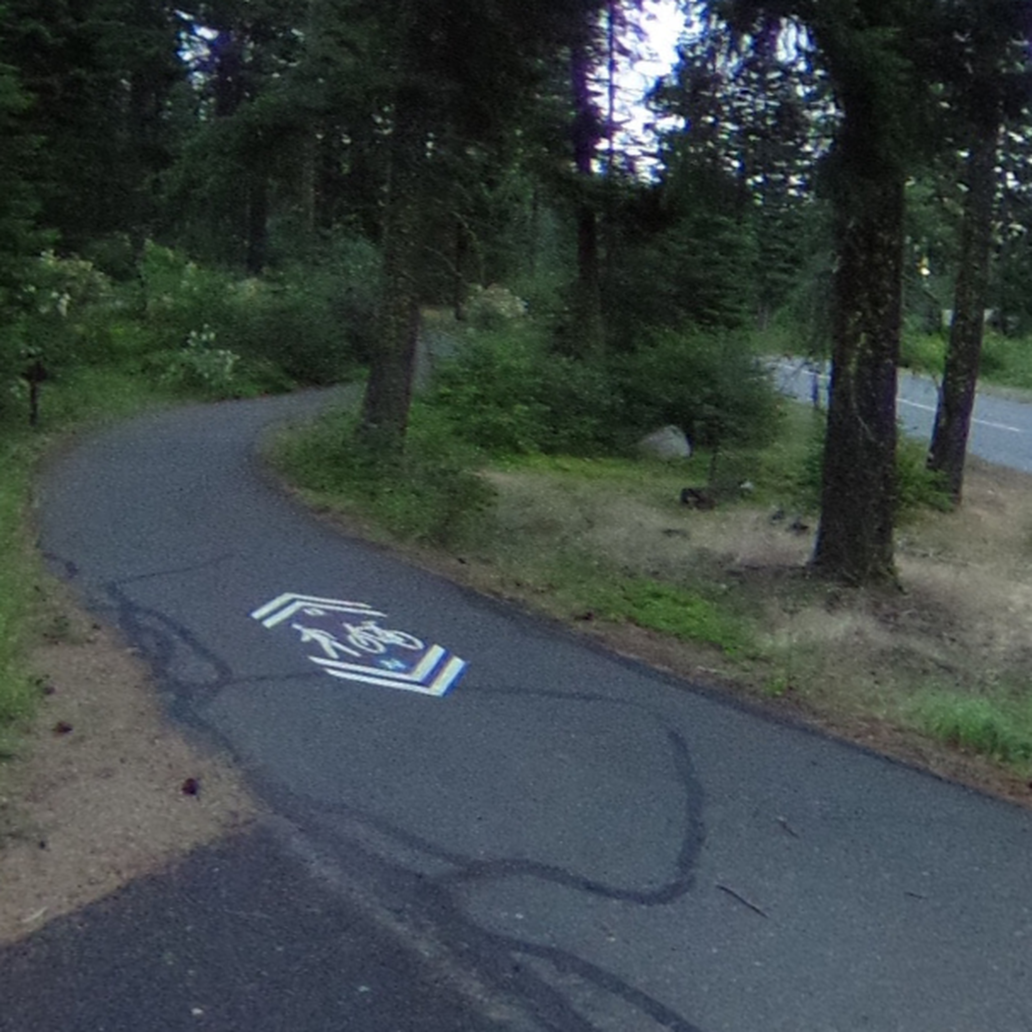
The Coal Mines Trail offers a delightful and easy touring bicycle experience, tracing a wide, crushed-gravel path through central Washington forests. You'll enjoy sweeping panoramic views that stretch from the Teanaway Valley to the impressive Stuart Range, with Mount Rainier often gracing the horizon on clear days. This 10.4-mile (16.7 km) route features a gentle 443 feet (135 metres) of elevation gain, making it a comfortable ride for all skill levels, typically taking around 1 hour and 8 minutes.

For the best cycling conditions, plan your visit between spring and fall. The trail is a multi-use pathway, welcoming hikers and equestrians alongside cyclists, and even transforms into a winter wonderland for snowmobilers and cross-country skiers. Access is straightforward, connecting the charming towns of Cle Elum, Roslyn, and Ronald, with no permits or fees required.

This trail is steeped in history, following a former Northern Pacific Railroad branch line that once transported coal and passengers. Informational signs along the way highlight the area's rich coal mining heritage, including visible remnants like old slag piles. You'll also pass the Coal Miners' Memorial and the Roslyn Urban Forest, and the trail connects directly to Roslyn, famously known as a filming location for the television show "Northern Exposure."

Easy

5.0

(2)

7

riders

57.8km

03:27

420m

420m

Pedal through a landscape carved by time on the Yakima Canyon Road, a moderate 35.9-mile (57.8 km) touring cycling route that winds alongside the Yakima River. You'll be surrounded by towering basalt cliffs, some reaching 2,000 feet, and rolling desert hills, offering a truly immersive experience in a largely uninhabited canyon. Keep your eyes peeled for wildlife like bighorn sheep and various raptors as you enjoy the smooth, paved surface.

This scenic ride, with its 1383 feet (421 metres) of elevation gain, typically takes around 3 hours and 27 minutes. It's best enjoyed in spring or fall when the weather is mild and the scenery is at its most vibrant. While generally beginner-friendly, be aware of traffic and narrow shoulders in some areas. Convenient rest stops with amenities are available at recreation sites like Roza, but cell reception can be unreliable, so plan your communication accordingly.

The Yakima River Canyon is recognized as a National Natural Landmark, celebrated for its significant geological features and serving as a popular spot for fishing and rafting. This route offers a fantastic alternative to the nearby interstate, providing a unique blend of natural beauty and accessible cycling. It's an excellent choice if you're looking for a rewarding day trip that combines moderate effort with stunning desert canyon vistas.

Moderate

4

riders

56.0km

05:58

1,320m

1,320m

This difficult 34.8-mile touring cycling route in Mount Baker-Snoqualmie National Forest features 4318 feet of elevation gain and scenic pas

Hard

This easy 15.2-mile (24.4 km) touring cycling route, typically taking around 1 hour and 59 minutes, offers a unique journey across Washington's diverse landscapes. Following the historic Milwaukee Road, you'll experience a fascinating transition from forested areas to arid scrublands, with the gentle 162 feet (49 metres) of elevation gain making it accessible for many. The trail's surface is mostly crushed gravel, but be ready for some sandy patches, especially as you approach the U.S. Army Yakima Training Center, where the scenery opens up to dramatic basalt cliffs.

When planning your ride, consider that while this section is easy, the full Palouse to Cascades State Park Trail has varying conditions. Mountain bikes or road bikes equipped with gravel tires are recommended for the best experience on the mixed terrain. If you're looking to explore the famous Snoqualmie Tunnel, remember it's closed from November 1st to May 2nd each year. Always carry sufficient water and snacks, as amenities can be spread out along the route.

The Palouse to Cascades State Park Trail stands out as one of the longest rail-trail conversions in the United States, preserving a significant piece of railroad history. This route provides an excellent opportunity for best routes Palouse to Cascades State Park Trail touring cycling, allowing you to explore Washington's ecological diversity from a unique perspective. The trail's gentle grade, inherited from its railway origins, makes it a family-friendly option for those seeking a longer, yet manageable, cycling adventure.

Easy

1

riders

If you're seeking a touring cycling adventure that truly spans Washington's diverse ecosystems, the Palouse to Cascades State Park Trail delivers. This moderate 37.0-mile (59.5 km) route, typically taking around 4 hours and 34 minutes, offers 1355 feet (413 metres) of elevation gain as it transitions from dense forests to arid landscapes. You'll ride along historic railway corridors, crossing impressive trestle bridges with sweeping views, and experiencing the quiet beauty of rivers and farmlands.

Planning your ride means being ready for varied surface conditions; much of the trail is unpaved, with sections of gravel, loose gravel, and even sand, particularly further east. Mountain bikes or fat-tire bikes are often recommended for the best experience. Keep in mind that the iconic Snoqualmie Tunnel is closed from November 1st to May 1st, so check seasonal conditions if your route includes it, and always carry enough water, especially in drier sections.

This trail is a testament to an ambitious rail-trail conversion, following the historic Chicago-Milwaukee-St. Paul-Pacific Railroad corridor. It's one of the nation's most epic rail trails, celebrated for its dramatic geographic diversity and the unique experience of traversing old railway infrastructure. The recently renovated Beverly Bridge, for example, offers stunning views and connects vast sections of the trail, making it a significant point of interest for history buffs and nature lovers alike.

Moderate

26.3km

01:34

190m

190m

The Salmon La Sac Road offers a delightful touring cycling experience through the scenic Cle Elum River Valley, winding past forested areas and offering open views to the south. You'll find a mix of smooth asphalt and some chip seal sections, with the potential for unpaved forest roads if you're looking for more challenge. Keep an eye out for glimpses of Mount Rainier on clear days, and enjoy the serene atmosphere along the river, perhaps stopping at Speelyi Beach for a break. This moderate route covers 16.3 miles (26.3 km) with 636 feet (194 metres) of elevation gain, typically taking around 1 hour and 34 minutes.

Planning your ride on Salmon La Sac Road is straightforward, especially given the low vehicle traffic, which makes for a more relaxed journey. The road serves as a gateway to other trails and offers access to the Cle Elum River at spots like Bell Creek Water Access and the Cle Elum River Campground. Be mindful of wildlife; bears are common in the area, so secure your food. Remember that the road converts to a Sno-Park in winter, so plan your visit for the warmer seasons to enjoy the best cycling conditions.

This area, situated on the eastern slopes of the Cascade Mountains, is characterized by its glaciated terrain, featuring detailed topographic elements and varied elevations. The Salmon La Sac Road is a key access point to the vast Okanogan-Wenatchee National Forest and provides entry to the Alpine Lakes Wilderness, though a permit is needed for wilderness access. It's a great option for those seeking scenic viewpoints and a connection to the natural features of this beautiful region.

Moderate

Hard bike ride. Very good fitness required. Mostly paved surfaces. Suitable for all skill levels.

Hard

Hard bike ride. Very good fitness required. Mostly paved surfaces. Suitable for all skill levels.

Hard
Sign up for free to see 23 more rides in Kittitas County.

Get access to more routes and recommendations from other explorers.

Sign up for free

Already have an account?

Our route recommendations are based on thousands of hikes, rides, and runs completed by other people on komoot.

Start today with a free account

Your next adventure awaits.

Login or Signup

Popular around Kittitas County

Cycling in Palouse To Cascades State Park
Cycling around Ronald

Cycling around Cle Elum

Cycling in Alpine Lakes Wilderness

Cycling around South Cle Elum

Cycling in Alpine Lakes Wilderness Study Area
Cycling around Roslyn

Cycling in Olmstead Place State Park

Cycling around Ellensburg

Cycling around Snoqualmie Pass

Other adventures in Kittitas County

Pacific Crest Trail from Mexico to Canada – 4,200 kilometres of wilderness

Hiking Collection by

Caro "Bandit"

Tips from the Community

Roberto A.
December 16, 2024, "The Seals"

I am always amazed how different this lake looks in the spring (full) versus the fall (almost empty). Those "Seals" are visible in the fall but then go for a long swim in the winter and spring...

1

0

The BBQ restaurant that used to be in the old depot next door moved elsewhere, but this is still an interesting place to visit.

0

0

The State Park is on the West shore of Lake Easton - very nice campground. An excellent overnight spot in the Spring/Summer/Fall when doing the Palouse to Cascades trail. Worth looping around the lake to see it from all sides and experience the tunnel and bridges. Decent provisions available in town.

0

0

Great bridge! You can ride all the way around Lake Easton, over this bridge, under a cool tunnel, past the State Park, and across another bridge that used to be the main highway across the cascades (Highway 10). Very beautiful ride!

0

0

I highly recommend the Coal Mines trail as an easy access to the various mountain bike trails in the area - great system up there!

0

0

Roberto A.
September 26, 2024, Speelyi Beach

Great views. Nice spot to stop for a break. Amazing how much the lake level changes throughout the year.

0

0

Roberto A.
September 26, 2024, Yakima River Bridge

If you have been riding West to East, this is what you have been waiting for. A unique bridge over the Yakima River. You can cross the river, stand on one side, stand on the other, stand in the middle. The bridge doesn’t mind either way. Very high quality bridge that doesn’t move when you walk on it because it used to support trains. A great place to reflect on things that have happened and say well “that’s water under the bridge”, and you’ll be both literally and figuratively correct at the same time. Can’t beat that.

0

0

This is more of a lowlight. I'm not gonna lie... But you need to be warned. This section between Easton trailhead and the Yakima River bridge #4 just West of Cle Elum has very little going for it. It is flat; very flat. It has gravel; lots of loose gravel with two narrow hard-pack lines you need to stay within to move along. It parallels I-90, which creates a loud constant roar that battles the crunch of gravel for your hearing pleasure. Long parts of it are straight; very straight. The view is exactly the same the whole way; a hedge to the North and farmland to the South. Mostly, you are going to be looking forward to getting through this part of the trail. Think of it as purgatory, but also think of it as the price you will pay to visit the much more pleasant parts of the trail at either end.

0

0

Frequently Asked Questions

How many touring cycling routes are available in Kittitas County?

Kittitas County offers a wide selection of touring cycling routes, with over 30 options available. These routes cater to various skill levels, including 9 easy, 12 moderate, and 10 difficult trails, ensuring there's something for every cyclist.

What kind of landscapes can I expect to see while touring cycling in Kittitas County?

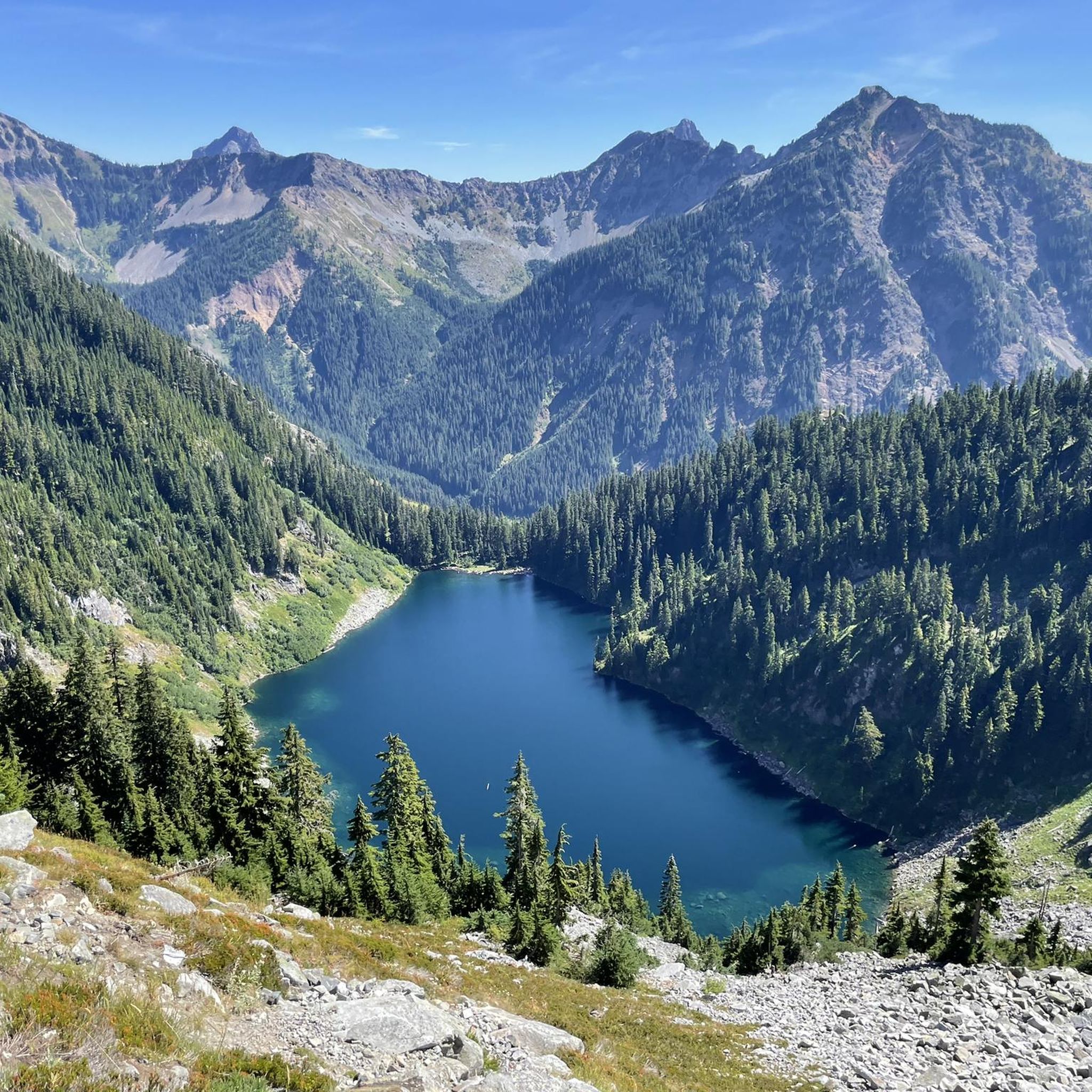
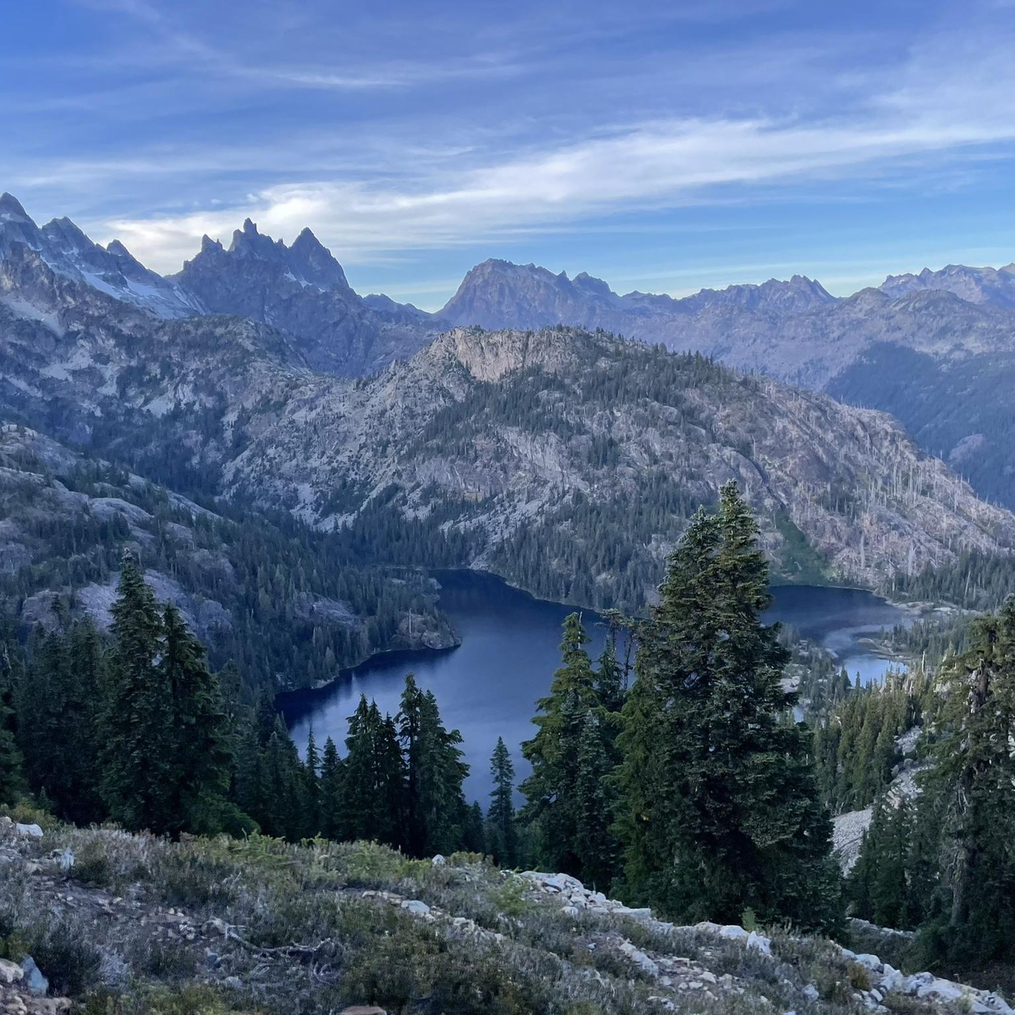
Touring cycling in Kittitas County provides a diverse range of landscapes. You can experience the towering peaks of the Cascade Mountains, lush forests, the winding Yakima River Canyon with its dramatic basalt cliffs, and expansive farmlands in the fertile Kittitas Valley. Segments of the Palouse to Cascades State Park Trail also offer varied scenery, from lake views to historic tunnels and arid scrubland.

Are there any notable natural features or landmarks to explore along the touring cycling routes?

Yes, Kittitas County is rich in natural features and landmarks. You can cycle through the unique Snoqualmie Tunnel, a 2.3-mile unlit tunnel on the Palouse to Cascades State Park Trail. Other highlights include the scenic Lake Easton State Park, the dramatic basalt cliffs of the Yakima River Canyon, and the serene Gold Creek Pond. The region also features several mountain passes like Snoqualmie Pass and Longs Pass.

What is the best time of year for touring cycling in Kittitas County?

Kittitas County's semi-arid climate generally means dry conditions, making it favorable for cycling for much of the year. Spring and fall offer pleasant temperatures and vibrant scenery. While summer is also popular, be prepared for warmer weather. Some sections, especially at higher elevations or within the Snoqualmie Tunnel, might require a jacket even in warmer months.

Are there any easy touring cycling routes suitable for families or beginners?

Yes, Kittitas County has several easy touring cycling routes perfect for families and beginners. The Coal Mines Trail is an excellent option, offering a gentle ride through wooded areas and past historical coal mining remains. Another easy segment is a 15.2-mile stretch of the Palouse to Cascades State Park Trail between Ellensburg and Kittitas.

Are there any long-distance touring cycling routes in the area?

For those seeking longer rides, Kittitas County features significant segments of the 245-mile Palouse to Cascades State Park Trail. A notable long-distance option is the South Cle Elum – Lake Easton State Park loop from Hyak, which covers nearly 100 km. Another challenging long-distance route is the Washington Timber Trail, offering over 55 km of difficult terrain.

Can I find circular touring cycling routes in Kittitas County?

Yes, there are several circular touring cycling routes available. For example, the South Cle Elum – Lake Easton State Park loop from Hyak offers a challenging circular experience. Another option is the Teanaway River – South Cle Elum loop from Ellensburg, which provides a difficult 85 km ride through varied terrain.

What are some challenging touring cycling routes for experienced riders?

Experienced touring cyclists will find several challenging routes in Kittitas County. The Palouse to Cascades State Park Trail: Hyak to Easton is a difficult 57.6 km trail following a former railway line. The Washington Timber Trail is another difficult option, featuring significant elevation changes. Additionally, the Teanaway River – South Cle Elum loop from Ellensburg offers a demanding 85 km ride.

Are there any touring cycling routes that offer views of the Yakima River?

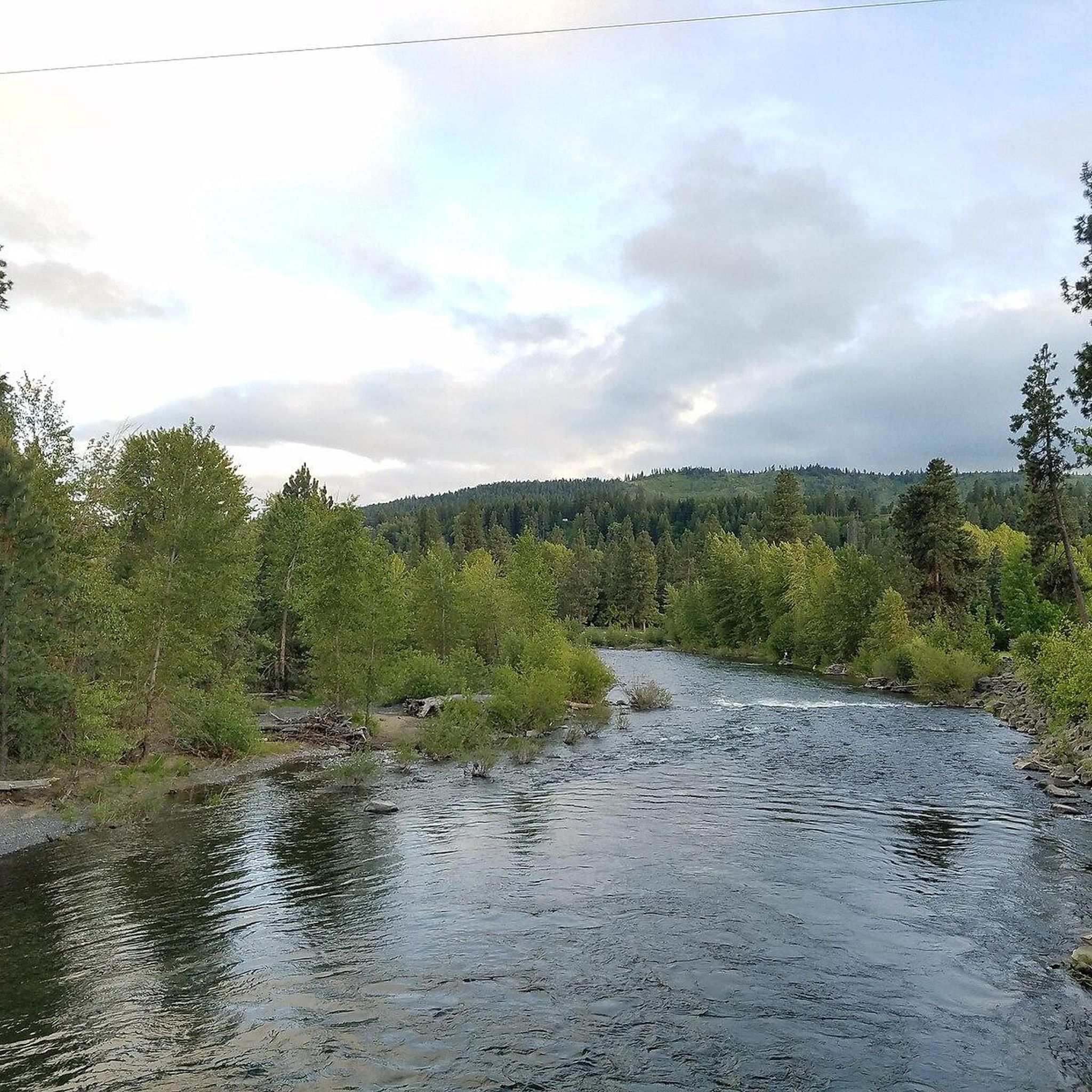
Absolutely. The Yakima Canyon Road is a moderate 57.8 km route that winds directly through the scenic Yakima River Canyon. This route provides stunning views of the river, dramatic basalt cliffs, and is known for its diverse wildlife, including bighorn sheep and various birds of prey.

What do other cyclists enjoy most about touring cycling in Kittitas County?

The touring cycling routes in Kittitas County are highly rated by the komoot community, with an average score of 4.8 stars from over 17 reviews. Cyclists often praise the diverse scenery, ranging from mountain views to river canyons and farmlands, as well as the variety of terrain that caters to all skill levels. The well-maintained trails and unique features like the Snoqualmie Tunnel are also frequently highlighted.

Are there any routes that follow old railway lines?

Yes, Kittitas County is home to significant sections of the Palouse to Cascades State Park Trail, which follows a former railway line. The Hyak to Easton segment is a popular example. Additionally, the Coal Mines Trail also utilizes an old railway right-of-way, offering a historical cycling experience.

Can I find routes with river valley views in Kittitas County?

Yes, several routes offer beautiful river valley views. The Salmon La Sac Road route, for instance, provides moderate cycling with picturesque river valley scenery. The Yakima River Canyon also offers continuous views of the winding Yakima River.

Most popular routes in Kittitas County

Hiking in Kittitas County

Most popular attractions in Kittitas County

Places to see

Store rating

Get inspired with the komoot mobile app

With a free komoot account, you can easily find, customize, and navigate endless outdoor adventures.

or

Join komoot Now

Store rating

Didn’t find what you were looking for?

Check out more Cycling routes throughout Kittitas County below and find the perfect route in your destination.

Alpine Lakes Wilderness Study AreaCle ElumEllensburgSnoqualmie PassPalouse To Cascades State ParkEastonRonaldRoslynLake Easton State ParkAlpine Lakes WildernessSouth Cle ElumOlmstead Place State Park

Nearby adventure guides

Things to Do around Ellensburg

Things to Do in Naneum Ridge State Forest

background

Get ready to conquer new peaks

Sign up for Free

Explore
RoutesRoute plannerFeaturesHikesMTB TrailsRoad cycling routesBikepackingSitemap
Download the app
Follow Us on Socials

© komoot GmbH

Privacy Policy