The best walks and hikes in Granville County
4.7
(6)
116
hikers
26
hikes
Hikes in Granville County NC lead through a varied landscape of hardwood forests, restored wildflower meadows, and paths along lakeshores. The region is characterized by rolling terrain with well-maintained trail networks in its nature preserves and parks. These routes offer a mix of paved greenways and natural surface paths through conservation areas.
Best hiking trails in Granville County
- The most popular hiking route is Ledge Creek & Pond Trails loop — Ledge Creek Forest Conservation Area, a 2.2 mile (3.5 km) trail that takes about 55 minutes to complete. This easy route follows paths through a mix of forest and open fields.
- Another top favourite among local hiking enthusiasts is Horton Grove Nature Preserve loop, a moderate 6.6 mile (10.7 km) path. The trail winds through woodlands with some gentle changes in elevation.
- Local hiking enthusiasts also love the Falls Lake Trail (Mountain-to-Sea Trail) from Red Mill Road to Penny's Bend Nature Preserve, a 9.2 mile (14.8 km) trail leading through hardwood forest, often completed in about 3 hours 50 minutes.
- Hiking in Granville County is defined by woodland paths, lakeside trails, and routes through nature preserves. The trail network provides options for different ability levels, from short, easy walks to longer, more moderate hikes.
- The routes in Granville County are highly rated by the komoot community with an average score of 4.8 stars from a number of reviews. More than 100 hikers have used komoot to explore Granville County's varied terrain.
Last updated: June 24, 2026
2
hikers
8.63km
02:13
40m
40m
The Falls Lake Trail: Fish Dam Road to East Geer Street offers a delightful journey through dense hardwood and pine forests, occasionally opening up to views of Falls Lake itself. You'll navigate a varied terrain of dirt paths, old roadbeds, and wooden boardwalks, sometimes dipping into bottomland forests that can be soggy after rain. This segment of the Mountains-to-Sea Trail provides a moderate hiking experience, allowing you to immerse yourself in nature and spot local wildlife like deer and various bird species.
Planning your visit is simple, with convenient access from the Falls Lake Trail Fish Dam Road access point where parking is available. This 5.4-mile (8.6 km) hike, with its 134 feet (41 metres) of elevation gain, typically takes around 2 hours and 13 minutes to complete. Remember that parts of the trail are in a game land, so consider wearing blaze orange during hunting season for safety.
What makes this trail truly stand out is its rich historical context; it includes eight crossings of the historic Fish Dam Road, an ancient American Indian trading path. You'll also encounter intriguing remnants of pre-lake existence, such as old homesites and even a rusty, flipped car, adding a unique layer of discovery to this moderate route. It's a fantastic option for those looking for a hike that combines natural beauty with a tangible connection to the past.
2
hikers
2.34km
00:37
10m
30m
The Fox Trot Trail offers a gentle escape into the woodland environment of Falls Lake State Recreation Area. As you hike this easy 1.5-mile (2.3 km) route, you'll experience a pleasant journey through diverse plant life. The path gains a modest 47 feet (14 metres) in elevation, making it a comfortable walk that takes about 36 minutes to complete. Look for sections that connect with the wider West Loop and Outer Loop trails, providing a sense of connection to the larger park system. This trail is perfect if you are seeking a quick and accessible outdoor adventure.
Planning your visit to the Fox Trot Trail is straightforward. Parking is typically available at designated areas within Falls Lake State Recreation Area, making trailhead access convenient. This route is generally accessible, making it a good option for many hikers. Before you head out, always check for any specific park advisories or seasonal changes to ensure a smooth experience. Consider visiting during off-peak hours for a more tranquil hike.
This trail is notable for its location within the natural surroundings of Falls Lake State Recreation Area, offering a chance to immerse yourself in the local ecosystem. Keep an eye out for the diverse plant life and perhaps some local wildlife as you explore this natural setting. The Fox Trot Trail is an excellent choice if you want to connect with nature without committing to a long or strenuous outing. It provides a taste of the park's beauty and is a great starting point for further exploration.

Sign up for free
26.3km
06:43
100m
90m
The Falls Lake Trail via Hickory Hill Boat Ramp offers a diverse and lengthy hiking experience, blending natural beauty with some unique, unexpected elements. You'll wander through dense hardwood forests, past wetlands, and along open fields, often with picturesque views of Falls Lake. Keep an eye out for large, rounded diabase boulders and even a cement culvert that takes you under an interstate highway, adding an unusual twist to the natural scenery.
This difficult 16.3-mile (26.3 km) route, with 321 feet (98 metres) of elevation gain, typically takes around 6 hours and 43 minutes to complete. Parking is available at the Hickory Hill Boat Ramp, which serves as a key access point for this section of the Mountains-to-Sea Trail. Remember that some parts of the trail are on game lands, so wearing blaze orange during hunting season is a good idea for safety.
Beyond the varied terrain, this section of the Falls Lake Trail is notable for its connection to the Mountains-to-Sea Trail (MST), specifically Sections 19 and 20. You might spot small aircraft taking off or landing near Lake Ridge Airport, and keen observers can often find an eagle's nest on a power pole near the I-85 bridge. The trail also reveals remnants of old roadbeds and former homesites, hinting at the area's past.
6.87km
01:46
30m
30m
The Falls Lake Trail: Cheek Road to Rogers Rd offers a delightful escape into nature, providing a smoother hiking experience than many other sections of the Mountains-to-Sea Trail. You'll wind through mature forests, occasionally opening up to reveal panoramic views of Falls Lake, complete with impressive sandstone bluffs. A notable feature is the lengthy boardwalk near Little Lick Creek, which guides you over wetlands, adding a unique element to the journey.
This easy 4.3-mile (6.9 km) hike, with only 101 feet (31 metres) of elevation gain, typically takes about 1 hour and 45 minutes. Parking is available at roadside spots near the elbow of Jimmy Rogers Road. Remember that parts of this trail cross game lands, so it's a good idea to check hunting seasons with the N.C. Wildlife Resources Commission before you head out.
What makes this segment stand out is its remarkably smooth tread, making it a favorite for trail runners and hikers who prefer less rocky terrain. You might also spot remnants of old homesteads, like ancient oaks and rusted metal, offering a glimpse into the area's past. Geological features such as a diabase sill and sandstone cliffs further enrich the natural landscape, making it a diverse and engaging walk.
519m
00:08
0m
0m
The Redwood Campsite via Falls Lake Trail offers a delightful, brief immersion into the natural beauty surrounding Falls Lake. This easy 0.3-mile (0.5 km) hike guides you through peaceful woodlands, quickly opening up to the serene waters of Falls Lake. The path leads directly to the Redwood Campsite, a charming spot right on the shore, providing expansive views of the reservoir and a perfect place to pause and enjoy the scenery. It's a short, high-reward experience that feels much longer than its 8-minute duration suggests.
Planning your visit to the Redwood Campsite is straightforward, as it's a well-known point on the larger Falls Lake Trail system. While there are no specific permits required for this short walk, it's always wise to check for any general regulations for the Falls Lake State Recreation Area. This trail is accessible year-round, and its minimal 8 feet (2 metres) of elevation gain means it's suitable for all ages and fitness levels, making it a great option for a spontaneous outing or a quick leg stretch.
This particular segment is a small but significant part of the Mountains-to-Sea Trail (MST) Segment 10, highlighting the diverse landscapes found around Falls Lake. The area is renowned for its beautiful woodlands and waterways, providing excellent opportunities for birdwatching and enjoying the diverse avian life along the shoreline. The Redwood Campsite itself is a primitive, hike-in site, offering a glimpse into the more rustic camping options available around Falls Lake, distinct from more developed campgrounds.
8
hikers
11.6km
03:05
120m
120m
Embark on the New Light Trail Loop for a moderate hike spanning 7.2 miles (11.6 km) with an elevation gain of 398 feet (121 metres). This route, estimated to take about 3 hours and 4 minutes, offers a scenic journey through hilly terrain. You will navigate sections filled with roots, rocks, and logs, enjoying beautiful forest views and frequent glimpses of Falls Lake as the trail skirts its shore.
When planning your visit to the New Light Trail Loop, remember that dogs are not permitted on this route. If you prefer a quieter experience, consider hiking on weekdays outside of the summer months. Mountain bikers are allowed on Sundays from September 1st through May 14th, and every day from May 15th through August 31st, so be aware of shared trail use during those times.
Located within the Falls Lake State Recreation Area, the New Light Trail Loop provides a challenging experience with its varied terrain, including rock gardens and steep climbs. This makes it a notable option for hikers seeking an engaging workout near Raleigh. The trail's proximity to Falls Lake adds a distinct natural element to your outdoor adventure.
8
hikers
3.27km
00:51
20m
30m
Embark on the E. Carroll Joyner Park loop for an easy hiking experience that winds through diverse landscapes. This pleasant route covers 2.0 miles (3.3 km) with a gentle elevation gain of just 78 feet (24 metres), making it suitable for all skill levels and typically completed in about 51 minutes. As you hike, you'll find yourself moving between mature hardwoods and open meadows, with streams often flowing nearby. Keep an eye out for the historic pecan grove, a distinctive landmark, and discover restored farm structures such as a tobacco barn and a log cabin along the way. The trail offers a peaceful atmosphere where you might even catch a glimpse of white-tailed deer or various bird species.
Planning your visit to E. Carroll Joyner Park is straightforward, as the area is highly accessible. You'll find ample amenities available, including convenient restrooms and picnic tables, perfect for a break before or after your hike. Parking is generally available, ensuring an easy start to your outdoor adventure. The park welcomes leashed dogs, so feel free to bring your canine companion along to enjoy the trail with you.
Beyond the natural beauty, the E. Carroll Joyner Park loop offers a unique blend of history and ecology. The trail not only showcases the region's mature hardwoods and open spaces but also preserves a significant historic pecan grove. You can explore restored farm structures, like an old tobacco barn and a log cabin, which provide a glimpse into the area's past. This combination of natural scenery and historical elements makes the loop a notable destination for a relaxing outdoor excursion.
5.0
(1)
5
hikers
10.7km
02:49
90m
90m
Hike the 6.6-mile Horton Grove Nature Preserve loop, a moderate trail through diverse forests and grasslands with historical significance.
2
hikers
14.8km
03:49
70m
70m
If you're seeking a diverse and engaging hike near the Triangle, the Mountains-to-Sea Trail: Falls Lake delivers a consistently pleasant experience. This moderate route guides you through maturing hardwood and pine forests, often winding in and out of coves with picturesque views of Falls Lake. You'll find varied terrain underfoot, from flatter stretches to rolling hills, and even encounter unique geological features like sandstone cliffs, making for a dynamic journey over its 9.2 miles (14.8 km).
Planning your visit is straightforward, as this section of the Mountains-to-Sea Trail is easily accessible from various road crossings and recreation areas. The path is well-maintained and marked with white blazes, though it's wise to check conditions as low-lying areas can flood when the lake levels are high. With an estimated duration of 3 hours and 49 minutes and 243 feet (74 metres) of elevation gain, it's a perfect half-day adventure.
This segment of the Mountains-to-Sea Trail is notable for its proximity to urban areas while still offering a remote feel and a rich blend of natural and historical elements. You can explore remnants of old farmsteads and observe diverse ecosystems, including the Penny's Bend Nature Preserve. It's a testament to volunteer efforts, providing a significant completed section of North Carolina's epic cross-state trail.
5.0
(1)
2
hikers
3.49km
00:56
40m
40m
Embark on the Ledge Creek and Pond Trail Loop, an easy hike offering a gentle outdoor experience within the Ledge Creek Forest Conservation Area. You will find mostly paved surfaces, making the terrain very accessible for all. This pleasant route covers 2.2 miles (3.5 km) with a modest elevation gain of 123 feet (37 metres), typically taking around 55 minutes to complete.
Planning your visit to this loop is straightforward. The trailhead is conveniently located next to a parking lot, ensuring easy access for drivers. Since the route is rated easy, you will not need specialized gear; comfortable walking shoes are perfectly suitable for this quick escape. It is an ideal choice for a relaxed outing any time of day.
The Ledge Creek and Pond Trail Loop is notable for its connections to other paths, including the Ledge Creek Trail and Pond Trail, allowing you to explore more of the area's natural features. This makes it a family-friendly hike, suitable for all fitness levels looking to enjoy a bit of nature without a strenuous climb. It provides a taste of the local environment in a compact and manageable format.
Get access to more routes and recommendations from other explorers.
Sign up for free
Already have an account?
Our route recommendations are based on thousands of hikes, rides, and runs completed by other people on komoot.
Start today with a free account
Your next adventure awaits.
Login or Signup
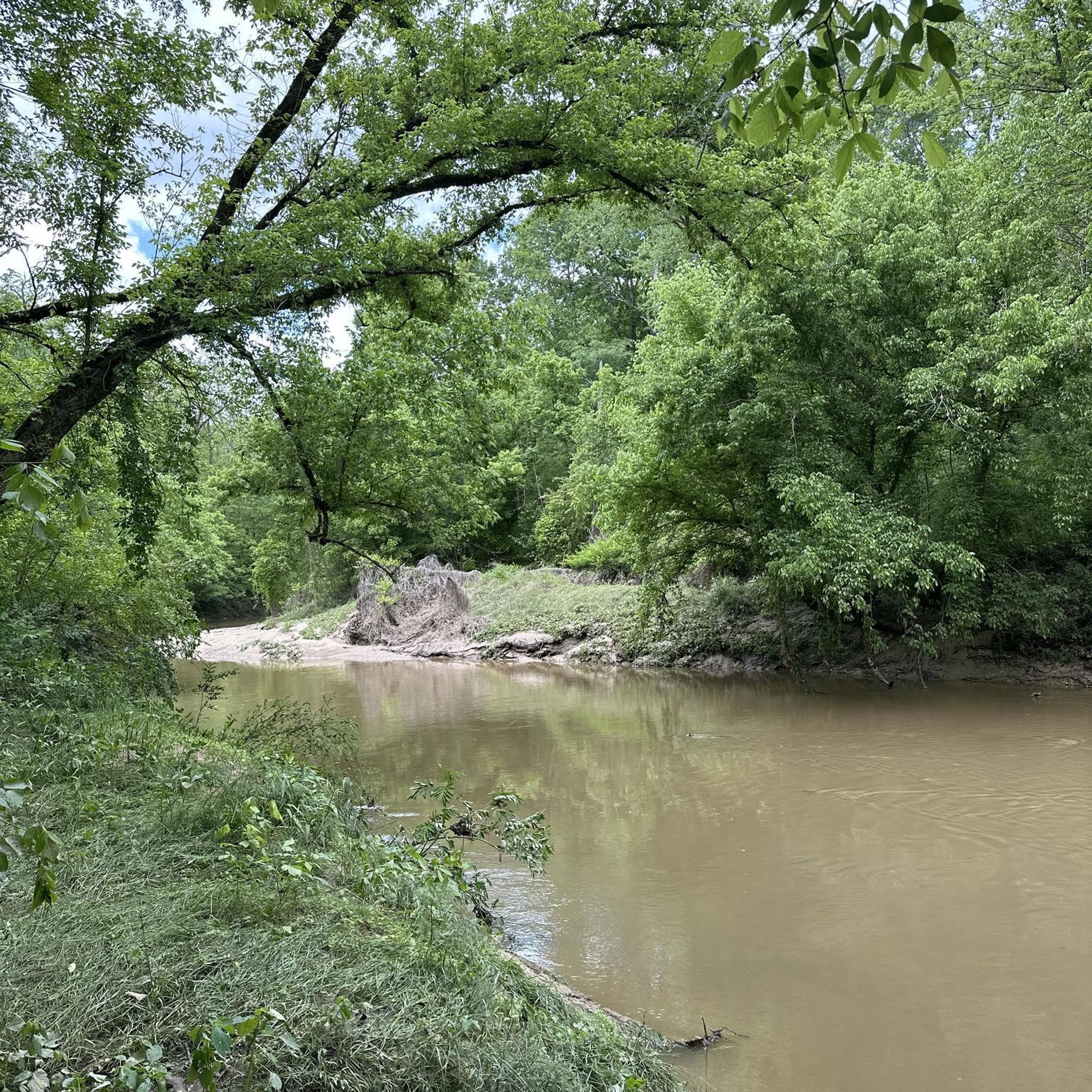

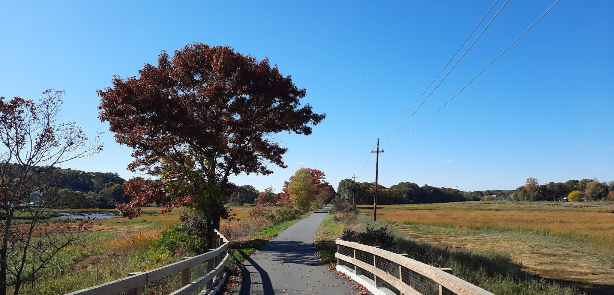



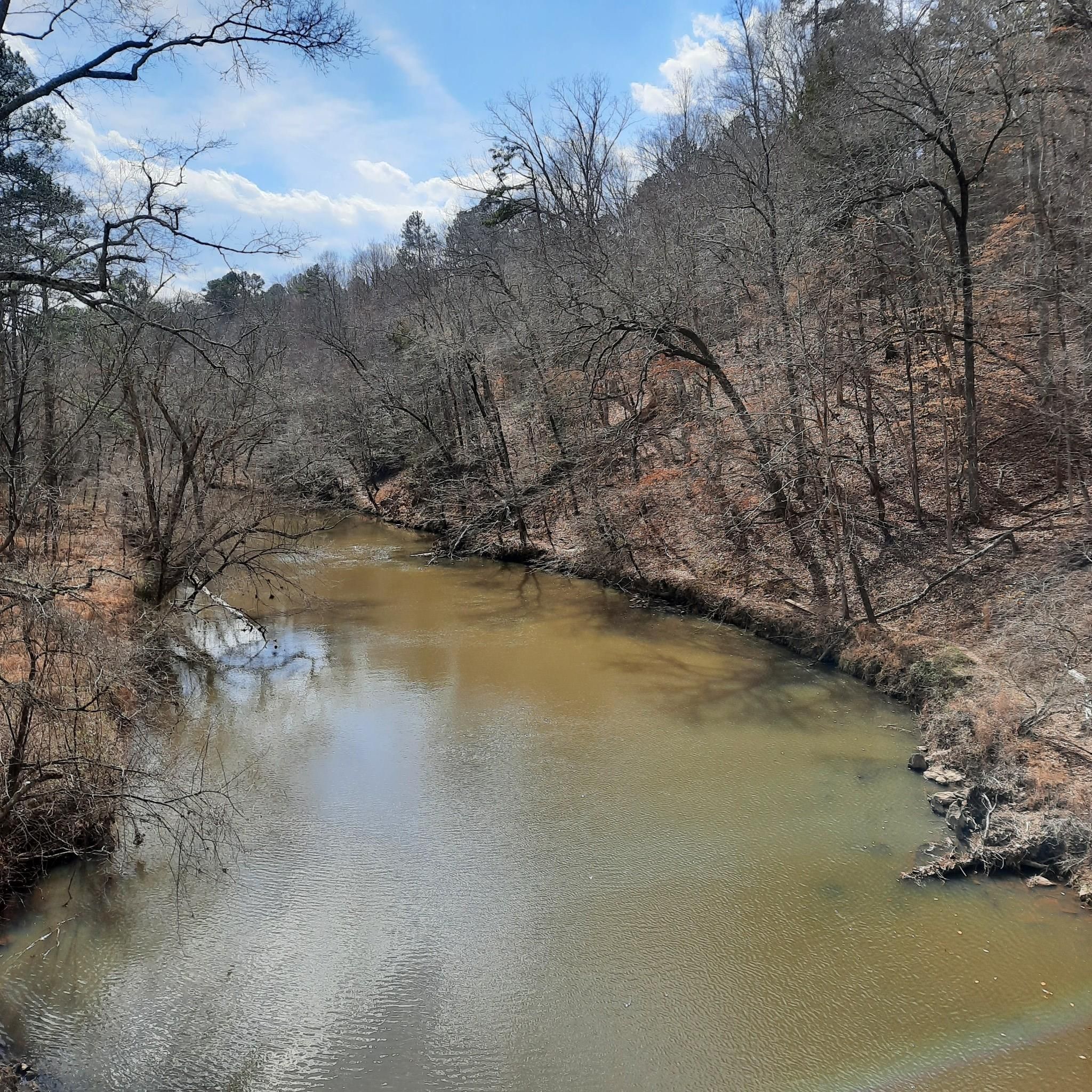
Other adventures in Granville County

Tips from the Community

New Light Trail mostly follows the shore line of Neuse River, offering beautiful views of the stream, paddlers, and the other shore. Fun fact: Neuse River is the longest river fully contained in North Carolina.
0
0

The New Light Trail is a loop trail along the banks of the Neuse River. It is popular with hikers and mountain bikers, so it is possible that you will see others out enjoying the trail.
0
0

This small campsite on the edge of the water is a great turn around point (or just a rest stop) for your run. There are wide open views onto the lake from the shore. The entirety of the Falls Lake Trail in this area offers views of the reservoir.
0
0

E. Carroll Joyner Park, located in Wake Forest, is a scenic 117-acre park known for its nice landscape and diverse recreational offerings. The park features walking trails, a large pond, and open green spaces. Enjoy the park while hiking through the park's gardens, bridges and pecan grove.
0
0
Ledge Creek Trail is a hiking trail in the eastern section of the Ledge Creek Forest Conservation Area. It follows the name giving creek through wildflowers, meadows, and pine forest. To extend your hike, you can easily add the Pond Trail to form a loop.
0
0
Penny's Bend Nature Preserve spans approximately 84 acres along the Eno River in Durham County. It offers well-maintained trails that wind through diverse ecosystems, including riverbanks, hardwood forests, and meadows.
0
0
The Horton Grove Nature Preserve is a natural area known for its diverse ecosystems and well-maintained trails, leading through the area. It has a size of about 708 acres and features a mix of woodlands, meadows, and wetlands. It is home to various plant and animal species.
0
0
Frequently Asked Questions
Are there many hiking trails in Granville County?
Yes, there are nearly 20 designated hiking routes in and around Granville County. These range from short, easy walks on paved paths to more challenging, long-distance trails through forests and nature preserves.
What do other hikers think of the trails in Granville County?
The area is highly rated by the komoot community, with an average score of 4.8 stars. Hikers often praise the well-maintained paths through quiet woodlands and the variety of trails available in the region's parks and conservation areas.
Are there any easy, family-friendly hikes in the area?
Absolutely. A great option for families is the E. Carroll Joyner Park loop — Wake Forest. It's a short, accessible walk of about 2 miles (3.2 km) on paved paths, making it suitable for all ages and skill levels.
Can I bring my dog on the hiking trails?
Most parks and nature preserves in Granville County, such as Ledge Creek Forest Conservation Area and Granville Athletic Park, welcome dogs as long as they are kept on a leash. Always check the specific regulations for the trail you plan to visit and be sure to clean up after your pet.
Are there any circular hiking routes?
Yes, many trails in the area are loops, allowing you to start and end in the same place. For a moderately challenging loop through woodlands, consider the New Light Trail loop — Wake County, which covers about 7.2 miles (11.6 km).
Where can I find a trail with a waterfall?
The Waterfall, Ledge Creek & Turtle Trails loop in the Ledge Creek Forest Conservation Area is a popular choice. This easy 2.2-mile (3.5 km) hike features a small, scenic waterfall along the path.
What are the trail options at Granville Athletic Park?
Granville Athletic Park, also known as the Jonesland Nature Preserve, offers a mix of paved and unpaved nature trails. You can enjoy a leisurely walk on the paved paths or explore the outer loop for a longer hike through the park's natural areas. The park is a popular local spot with plenty of amenities.
Are there any long-distance hiking trails in the region?
For those seeking a more strenuous, long-distance hike, the Falls Lake Trail from Hickory Hill Boat Ramp is an excellent choice. This challenging section of the Mountains-to-Sea Trail is over 15 miles (25 km) long and follows the scenic shoreline of Falls Lake.
What kind of scenery can I expect at Horton Grove Nature Preserve?
Horton Grove Nature Preserve is known for its extensive network of well-signed trails that wind through mature forests and restored grasslands. It's a great place for a peaceful hike, with routes like the Horton Grove Natural Preserve loop from Flat River offering a roughly 4.5-mile (7.2 km) tour of the preserve's diverse habitats.
Where can I find good parking for the trails?
Most of the main trail systems have dedicated parking areas. Popular spots like Horton Grove Nature Preserve and Granville Athletic Park are known for having ample parking. The Ledge Creek Forest Conservation Area also has parking available at its trailheads.
Are there any trails that are good for seeing wildlife?
Horseshoe Road Nature Preserve is a great choice for wildlife spotting. The easy trails here pass through habitats where you might see evidence of beavers, otters, and even historic bear claw marks on the trees.
Most popular routes in Granville County

Get inspired with the komoot mobile app


Didn’t find what you were looking for?
Check out more Hikes throughout Granville County below and find the perfect route in your destination.
Explore more
Browse the best Hikes in other regions.
