The best road cycling routes around Torrgårdsvatten
75
riders
6
rides
Road cycling around Torrgårdsvatten, located in Västra Götaland, Sweden, offers varied terrain characterized by serene lakes, extensive forests, and moderate elevation changes. The region features predominantly well-paved surfaces, though some segments may be unpaved, providing a diverse cycling experience. Routes often provide views of small lakes and pass through natural reserves, with the Göta River Valley contributing to the scenic backdrop. This blend of flat stretches and rolling hills caters to different cycling preferences.
Best road cycling routes around Torrgårdsvatten
…Last updated: July 9, 2026
9
riders
31.6km
01:18
210m
210m
Easy road ride. Great for any fitness level. Mostly well-paved surfaces and easy to ride.
3
riders
29.6km
01:17
260m
260m
Easy road ride. Great for any fitness level. Mostly well-paved surfaces and easy to ride.

Sign up for free
9
riders
77.1km
03:23
560m
560m
Moderate road ride. Good fitness required. Some segments of this route may be unpaved and difficult to ride.
2
riders
32.6km
01:26
300m
300m
Moderate road ride. Good fitness required. Mostly well-paved surfaces and easy to ride.
3
riders
33.5km
01:29
330m
330m
Moderate road ride. Good fitness required. Mostly well-paved surfaces and easy to ride.
Our route recommendations are based on thousands of hikes, rides, and runs completed by other people on komoot.
Start today with a free account
Your next adventure awaits.
Login or Signup

Tips from the Community


...and not only that, but also a tourist attraction. They also serve coffee for customers. This bakery has been in existence since 1877.
0
0

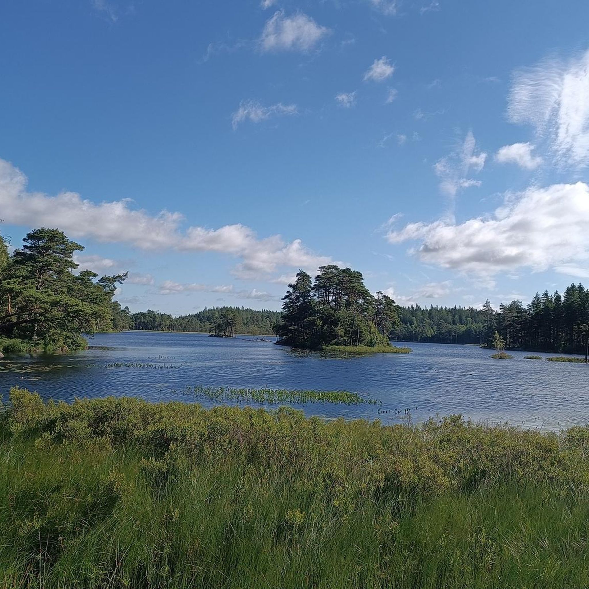
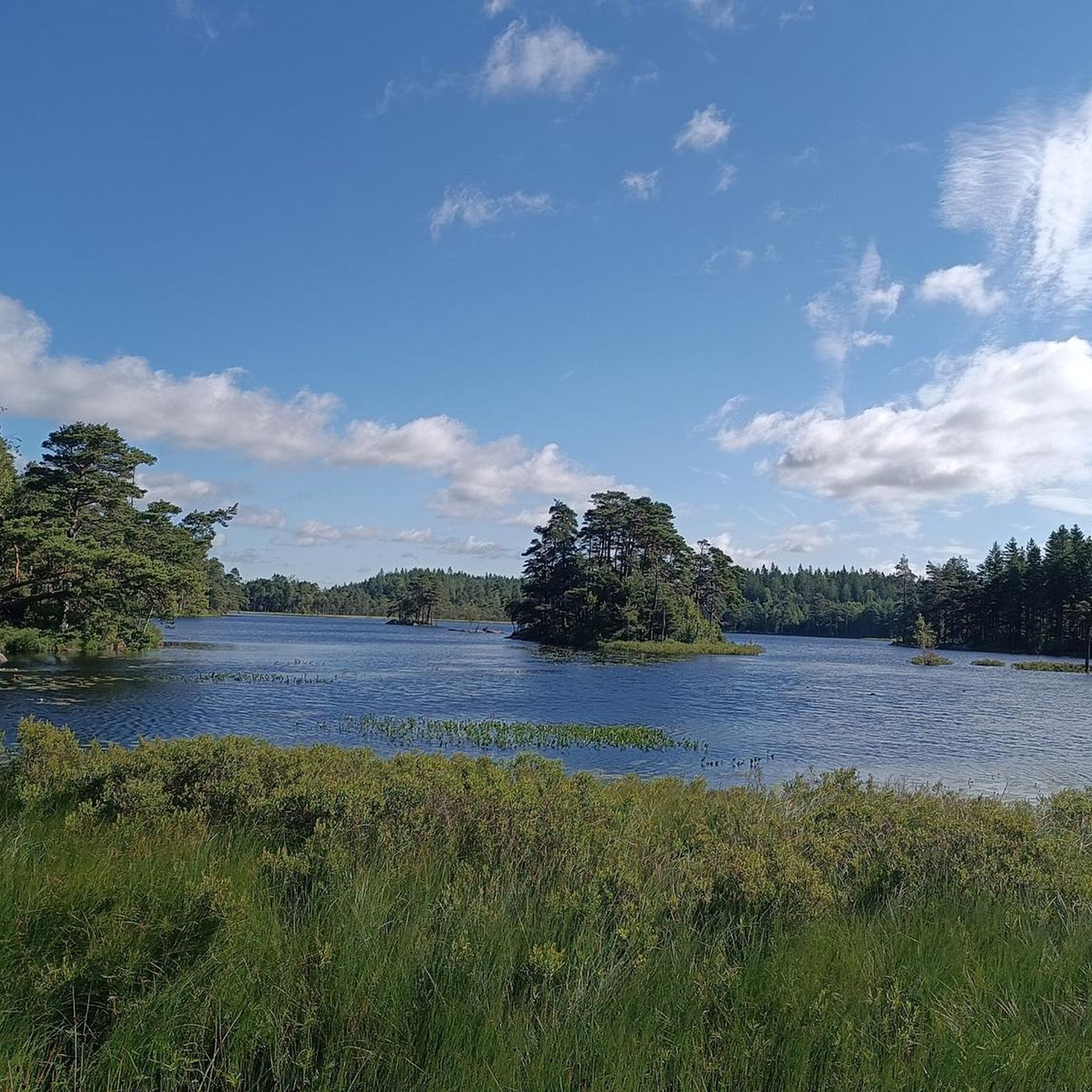
Along the road you can get great views of the small lakes on the side.
0
0
From this point you get a great view of the beach.
1
0
Frequently Asked Questions
How many road cycling routes are available around Torrgårdsvatten?
There are 8 road cycling routes around Torrgårdsvatten listed on komoot, offering various distances and difficulty levels for cyclists to explore.
What kind of terrain and surfaces can I expect on road cycling routes in Torrgårdsvatten?
The routes around Torrgårdsvatten feature predominantly well-paved surfaces, ideal for road cycling. However, some segments might be unpaved, adding to the varied terrain. You'll encounter picturesque views of small lakes and diverse landscapes.
Are there any easy or beginner-friendly road cycling routes in the Torrgårdsvatten area?
Yes, there is one easy road cycling route suitable for beginners or those looking for a more relaxed ride. The Roadbike loop from Lödöse is a straightforward 19.6-mile (31.6 km) trail with minimal elevation gain.
Which routes offer more challenging road cycling experiences around Torrgårdsvatten?
For more challenging rides, there are 7 moderate routes available. The View of Tjörn Bridge and Beach – Skåra Hantverksbageri loop from Ucklum is a 47.9-mile (77.1 km) path with significant elevation, offering scenic coastal views. Another option is the Thorskogs slott – Bohus Fortress loop from Älvängen, a 46.9-mile (75.6 km) trail through varied landscapes.
Can I see any historical landmarks or natural reserves while cycling around Torrgårdsvatten?
Absolutely. Many routes offer views of historical sites and pass through natural reserves. For instance, the Thorskogs slott – Bohus Fortress loop from Älvängen provides views of both Thorskogs slott and the historic Bohus Fortress. The region also features natural reserves like Åkerströms naturreservat and Slättbergens naturreservat, which you can experience on various routes.
What are the typical distances for road cycling routes in Torrgårdsvatten?
The road cycling routes around Torrgårdsvatten vary in length. You can find shorter loops like the Roadbike loop from Lödöse at 19.6 miles (31.6 km), up to longer routes such as the Trollhättan Church – Trollhättan Water Lock loop from Lödöse södra which is about 49.8 miles (80.1 km).
Are there any loop routes for road cycling in Torrgårdsvatten?
Yes, all the listed road cycling routes around Torrgårdsvatten are designed as loops, allowing you to start and finish at the same point. Examples include the Roadbike loop from Lödöse and the View of Tjörn Bridge and Beach – Skåra Hantverksbageri loop from Ucklum.
What do other road cyclists enjoy about cycling in Torrgårdsvatten?
Over 90 road cyclists have explored Torrgårdsvatten using komoot. They often praise the region's varied terrain, the picturesque views of small lakes, and the opportunity to cycle past historic sites like Bohus Fortress and through natural reserves. The combination of accessible routes and scenic beauty makes it a popular choice.
Are there any routes that pass by cafes or places to stop for refreshments?
Yes, some routes are designed with stops in mind. For example, the Café Kaffekoppen loop from Lödöse södra is a 43.5-mile (70.1 km) route that includes a stop at Café Kaffekoppen, perfect for a break during your ride.
What are the elevation gains like on road cycling routes in Torrgårdsvatten?
Elevation gains vary depending on the route. Easier routes like the Roadbike loop from Lödöse have around 210 meters (690 feet) of ascent. More challenging moderate routes, such as the View of Tjörn Bridge and Beach – Skåra Hantverksbageri loop from Ucklum, can feature over 560 meters (1,837 feet) of elevation gain.
Are there any specific scenic viewpoints along the road cycling routes?
The region is known for its picturesque views of small lakes alongside the roads. Routes like the View of Tjörn Bridge and Beach – Skåra Hantverksbageri loop from Ucklum offer stunning coastal vistas, including the Tjörn Bridge. Many routes also provide scenic glimpses of the surrounding natural landscapes and historic sites.
Most popular routes around Torrgårdsvatten

Get inspired with the komoot mobile app


Explore more
Browse the best Road cycling routes in other regions.
