The best road cycling routes in Linn County
4.2
(12)
560
riders
35
rides
Road cycling in Linn County offers diverse landscapes, extensive trail systems, and natural attractions. The region features varied terrain, including rolling hills, farmlands, and riverfronts, with the Willamette River to the west and the Cascade Mountains to the east. Many routes utilize converted rail trails, providing generally flat and accessible paths. These trails often wind through natural areas and preserves, offering immersive experiences.
Best road cycling routes in Linn County
- The most popular road cycling route is Cedar Lake –…
Last updated: July 11, 2026
78
riders
Moderate road ride. Good fitness required. Mostly well-paved surfaces and easy to ride.
46
riders
32.4km
01:27
120m
120m
Easy road ride. Great for any fitness level. Mostly well-paved surfaces and easy to ride.

Sign up for free
40
riders
Easy road ride. Great for any fitness level. Mostly well-paved surfaces and easy to ride.
44
riders
34.2km
01:36
140m
140m
Easy road ride. Great for any fitness level. Mostly well-paved surfaces and easy to ride.
5.0
(1)
25
riders
Easy road ride. Great for any fitness level. Mostly well-paved surfaces and easy to ride.
16
riders
48.6km
02:58
200m
200m
Moderate road ride. Good fitness required. Some segments of this route may be unpaved and difficult to ride.
13
riders
50.9km
02:18
160m
160m
Moderate road ride. Good fitness required. Mostly well-paved surfaces and easy to ride.
11
riders
15.0km
00:42
60m
60m
Easy road ride. Great for any fitness level. Mostly well-paved surfaces and easy to ride.
5.0
(1)
12
riders
37.0km
01:37
150m
150m
Easy road ride. Great for any fitness level. Mostly well-paved surfaces and easy to ride.
9
riders
18.0km
00:48
80m
80m
Easy road ride. Great for any fitness level. Mostly well-paved surfaces and easy to ride.
Get access to more routes and recommendations from other explorers.
Sign up for free
Already have an account?
Our route recommendations are based on thousands of hikes, rides, and runs completed by other people on komoot.
Start today with a free account
Your next adventure awaits.
Login or Signup
Popular around Linn County
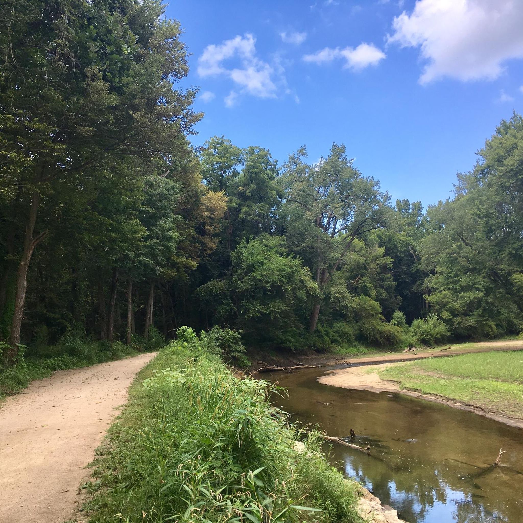
Road Cycling Routes around Cedar Rapids

Road Cycling Routes around Marion
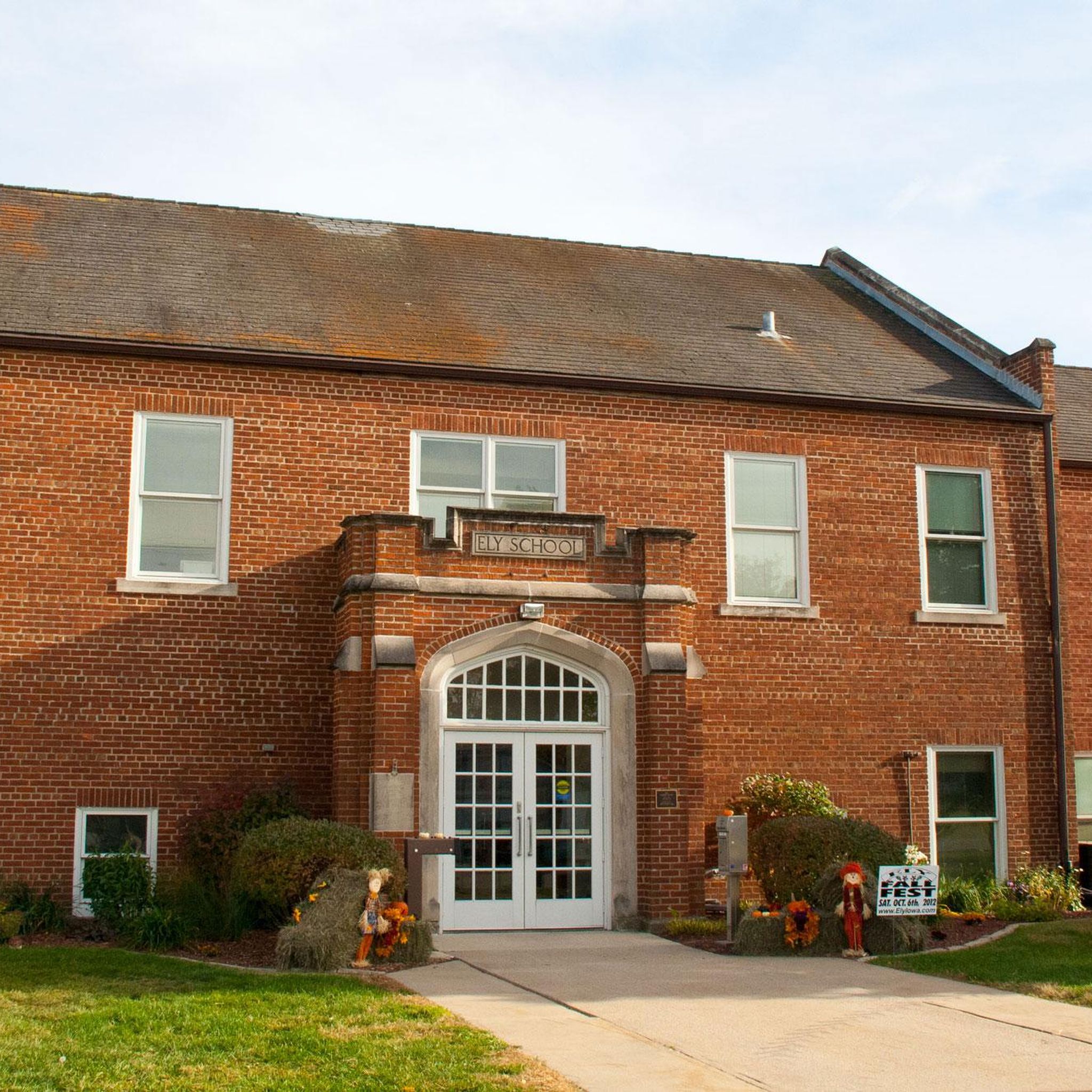
Road Cycling Routes around Ely

Road Cycling Routes around Hiawatha

Road Cycling Routes around Robins

Road Cycling Routes around Fairfax

Road Cycling Routes around Bertram
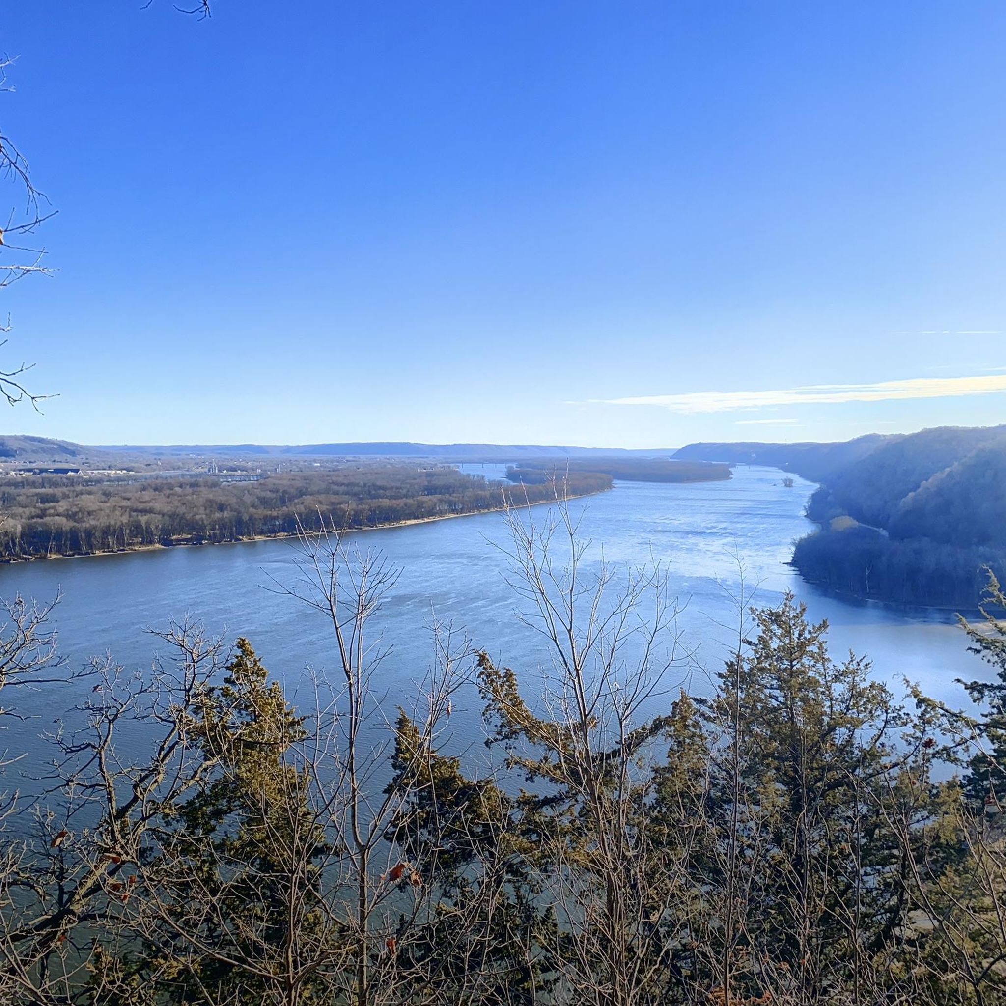
Hiking in Linn County
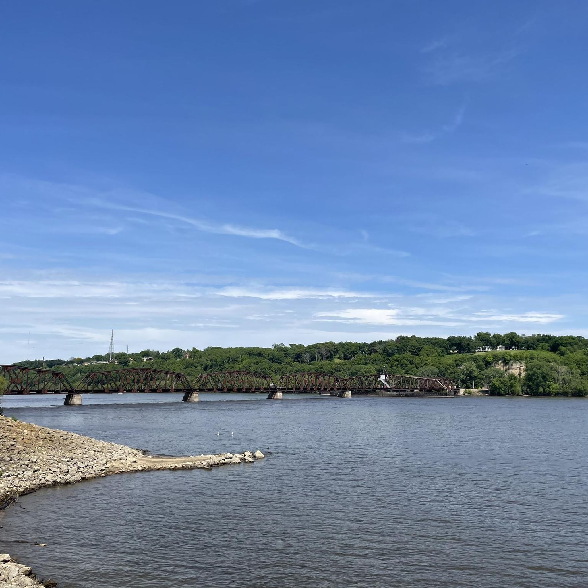
Cycling in Linn County
Running Trails in Linn County
Tips from the Community

Indian Creek Nature Center is a beautiful green space with several miles of trails, a nature playscape, and some bird watching areas. The trails have a mix of easy, flat dirts roads and some trails geared more towards mountain bikes.
0
0
Ely is a historic town in the Cedar Rapids metropolitan area. Settled in 1872, it was an important stop along the Burlington, Cedar Rapids and Northern Railway. There are still several historic structures in the city, including the Ely School House and Dows Street Historic District.
0
0

The Tree of Five Seasons monument is a symbol of the city's resilience. It is made of five steel pillars, together in the shape of a tree, representing spring, summer, fall, winter, and the fifth season, which is a symbol of Cedar Rapids ability to adapt and thrive. Built in 1976 to commemorate the city's recovery from a devastating flood, it is a beloved landmark of the community.
0
0

This is a great place to cross the Cedar River. The 16th Avenue Bridge (Bridge of Lions) is a locally renowned bridge that is open to cars, bikes, and pedestrians. You can visit the Czech side and the Slovak side of the town via this bridge. Both sides of the town are interesting, with plenty of shopping and eating places. The best thing for the cyclist, however, is that the views over the Cedar River from here are superb, especially upstream.
1
0

West Finger Lake along the Cedar Valley Nature Trail showcases nature's beauty with its serene waters reflecting the surrounding landscape. Lined by lush greenery, the trail offers scenic views of the lake and its tranquil surroundings, providing a peaceful and appealing experience for hikers and cyclists.
0
0

Cedar Lake is a distinctive body of water, bordered by the Union Pacific Rail Yard on one side and the interstate on the other. It remains hidden from view until you reach the Cedar Lake Trail. Despite its urban surroundings, this lake serves as a pleasant escape. The southeast shore features the Cedar Lake Trail, providing nice views over the water and open to pedestrians, joggers, and cyclists.
0
0

Prairie Park is known mostly as a spot for fishing, ice fishing, and water recreation. The park has a large pond known as Prairie Park Fishery and runs parallel to the Cedar River. There is a paved path that travels across most of the park's land.
0
0
Cedar Lake Loop is a paved 1.6-mile paved trail that encircles Cedar Lake in Prairie Park. This path connects to the Sac and Fox trail.
0
0
Frequently Asked Questions
What kind of terrain can I expect on road cycling routes in Linn County?
Linn County offers a diverse landscape for road cyclists, ranging from lush forests and rolling hills to farmlands and scenic riverfronts. Many routes utilize converted rail trails, which provide generally flat and accessible paths. You'll find a mix of urban, rural, and riverside scenery, with the Willamette River to the west and the Cascade Mountains to the east providing a rich backdrop.
How many road cycling routes are available in Linn County?
There are over 30 road cycling routes documented on komoot for Linn County, offering a variety of experiences for different skill levels. This includes routes rated as easy and moderate, ensuring options for both casual riders and those seeking a bit more challenge.
Are there easy road cycling routes suitable for beginners or families in Linn County?
Yes, Linn County has numerous easy road cycling routes perfect for beginners or families. Many of these routes follow converted rail trails, which are typically flat and well-maintained. An example is the West Finger Lake loop from Cedar Valley Nature Trail Parking, which is an easy 20.8-mile ride.
What do other cyclists enjoy most about road cycling in Linn County?
The road cycling routes in Linn County are highly rated by the komoot community, with an average score of 4.75 stars from numerous reviews. Cyclists often praise the varied terrain, the extensive trail systems, and the beautiful natural settings that make for an immersive riding experience.
Are there any scenic loop routes in Linn County?
Absolutely. Linn County features several scenic loop routes that allow you to experience diverse landscapes. A popular option is the Cedar Lake – West Finger Lake loop from Brendelwood Village Condominiums, which offers beautiful views over the lakes and is a moderate 37.5-mile ride. Another great choice is the Tree of Five Seasons – Cedar Valley Nature Trail loop from Overflow Parking, connecting urban and natural scenery over 40.7 miles.
Can I find routes that connect to the Cedar Valley Nature Trail?
Yes, the Cedar Valley Nature Trail is a major highlight and a key link in Linn County's cycling network. Routes like the Tree of Five Seasons – Cedar Valley Nature Trail loop from Overflow Parking and the Cedar Valley Nature Trail – Tree of Five Seasons loop from Kirkwood Community College directly incorporate sections of this extensive trail, offering a blend of urban and natural environments.
Are there road cycling routes that offer riverfront views?
Many trails in Linn County, such as the Cedar River Trail and the Sac & Fox Trail, hug the Cedar River, providing picturesque riverfront views and a peaceful riding experience. These paths allow you to immerse yourself in nature while enjoying the calming presence of the water.
What is the best time of year for road cycling in Linn County?
The best time for road cycling in Linn County is generally during the spring, summer, and fall months when the weather is mild and the natural scenery is at its peak. The region's diverse landscapes, from lush forests to riverfronts, are particularly enjoyable during these seasons. Always check local weather forecasts before heading out.
Are there routes that pass through natural areas or preserves?
Yes, Linn County's commitment to land stewardship means many cycling routes wind through or near natural areas and preserves. These areas, managed by Linn County Conservation, offer minimal development, allowing cyclists to immerse themselves in nature and observe local wildlife. While specific routes may vary, the general trail network often provides access to these serene environments.
Where can I find information about parking for road cycling trails in Linn County?
Parking availability varies by trail and access point. Many popular trailheads, especially those for major trails like the Cedar Valley Nature Trail or those near urban centers, typically offer designated parking areas. For specific details on parking facilities, it's advisable to check local park and trail websites or the komoot route details for starting points like 'Overflow Parking' or 'Cedar Valley Nature Trail Parking'.
Are there any longer, moderate difficulty road cycling routes in Linn County?
Yes, for cyclists looking for a longer ride with moderate difficulty, Linn County has several options. The Cedar Lake Loop – Cedar Valley Nature Trail loop from Mount Mercy University is a moderate 43-mile route that combines lake views with sections of the Cedar Valley Nature Trail. Another option is the Cedar Lake – Tree of Five Seasons loop from Epic Event Center, covering over 50 miles with moderate elevation changes.
Can I access road cycling routes using public transport in Linn County?
While many routes are easily accessible by car, public transport options to specific trailheads might be limited. For detailed information on public transport routes and stops that may connect to cycling trails, it's best to consult the local public transit authority's website. Some routes, especially those passing through downtown Cedar Rapids, might be more accessible via urban bus lines.

Get inspired with the komoot mobile app


Didn’t find what you were looking for?
Check out more Road cycling routes throughout Linn County below and find the perfect route in your destination.
Explore more
Browse the best Road cycling routes in other regions.
