The best road cycling routes in Coos County
5.0
(3)
351
riders
26
rides
Road cycling routes in Coos County feature a diverse landscape characterized by significant elevation changes and varied terrain. The region includes challenging mountain ascents, such as the Mount Washington Auto Road, alongside routes through forested areas and along river valleys. Cyclists can expect a mix of steep climbs and rolling hills, with some routes offering views of natural features like notches and lakes. The area provides a range of road cycling experiences, from demanding climbs to more moderate loops.
Best…
Last updated: October 11, 2026
5.0
(1)
86
riders
12.5km
02:02
1,410m
20m
Imagine tackling one of the most demanding road cycling climbs in the US: the Mount Washington Auto Road Bicycle Hillclimb race course. This difficult 7.8-mile (12.5 km) route begins with…
20
riders
116km
05:42
1,720m
1,720m
Embark on the Pinkham Notch and Evan's Notch loop, a challenging racebike route that winds through the stunning White Mountain National Forest. This difficult ride covers 72.2 miles (116.2 km)…

11
riders
128km
05:43
1,370m
1,370m
This difficult 79.3-mile road cycling loop through White Mountain National Forest offers scenic views and a challenging ride.
7
riders
Cycle the 15.9-mile Base Station Road & Mount Clinton Road loop from Crawford Notch State Park, a moderate route in White Mountain National
57.8km
02:55
820m
820m
The Mount Prospect from Carroll loop takes you through the varied topography of New Hampshire's Coos County, offering a dynamic road cycling experience. You'll navigate through lush fields and dense…
1
riders
50.1km
02:19
610m
610m
This moderate 31.1-mile road cycling loop in the Great North Woods offers scenic views of the Connecticut River, farmlands, and Beaver Brook
1
riders
43.8km
02:02
510m
510m
This moderate 27.2-mile road cycling loop in Berlin, New Hampshire, offers scenic Northern New Hampshire landscapes and mountain views.
48.8km
02:36
810m
810m
Cycle the moderate 30.3-mile Back Lake to Beaver Brook Falls loop in Pittsburg, New Hampshire, featuring waterfalls and scenic Great North W
134km
05:35
890m
900m
This difficult 83.5-mile road cycling loop through Dixville Notch State Park offers challenging climbs and spectacular mountain views.
50.0km
02:16
550m
550m
Road cycling the First, Second, & Third Connecticut Lakes via Daniel Webster Highway offers a moderate 31.1-mile ride through wilderness.
Get access to more routes and recommendations from other explorers.
Already have an account?
Our route recommendations are based on thousands of hikes, rides, and runs completed by other people on komoot.
Start today with a free account
Your next adventure awaits.
Popular around Coos County
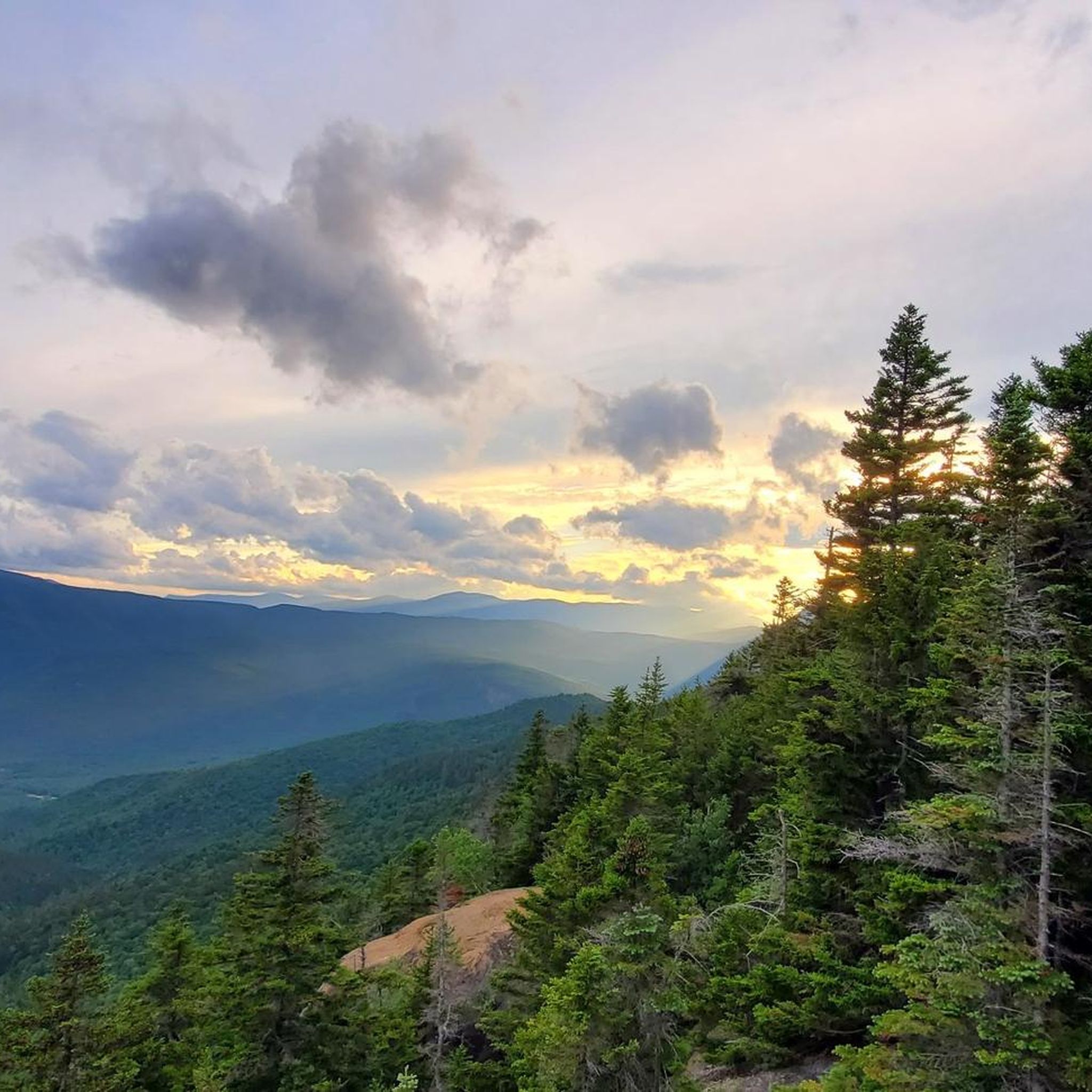
Road Cycling Routes in Presidential Range-Dry River Wilderness
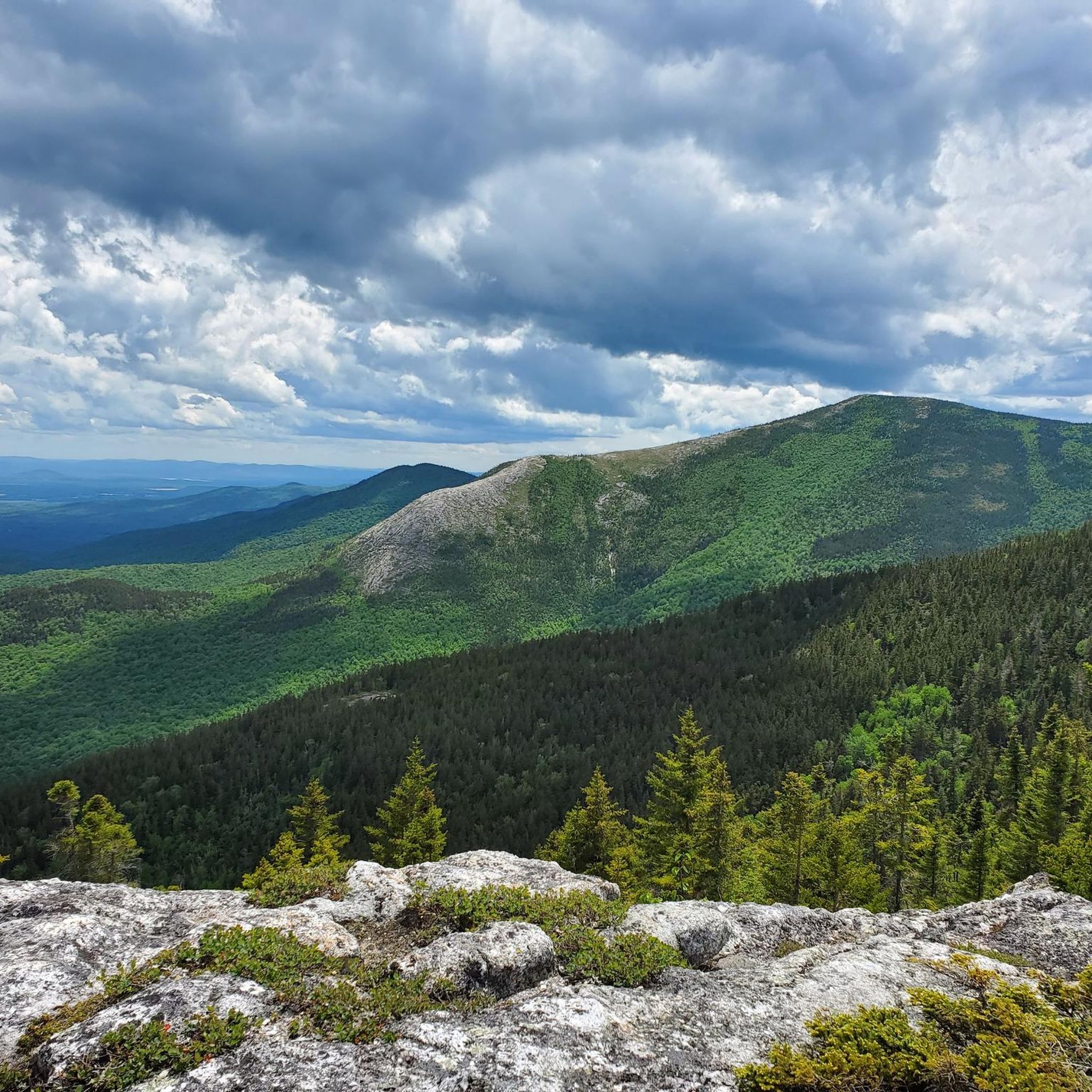
Road Cycling Routes in Wild River Wilderness
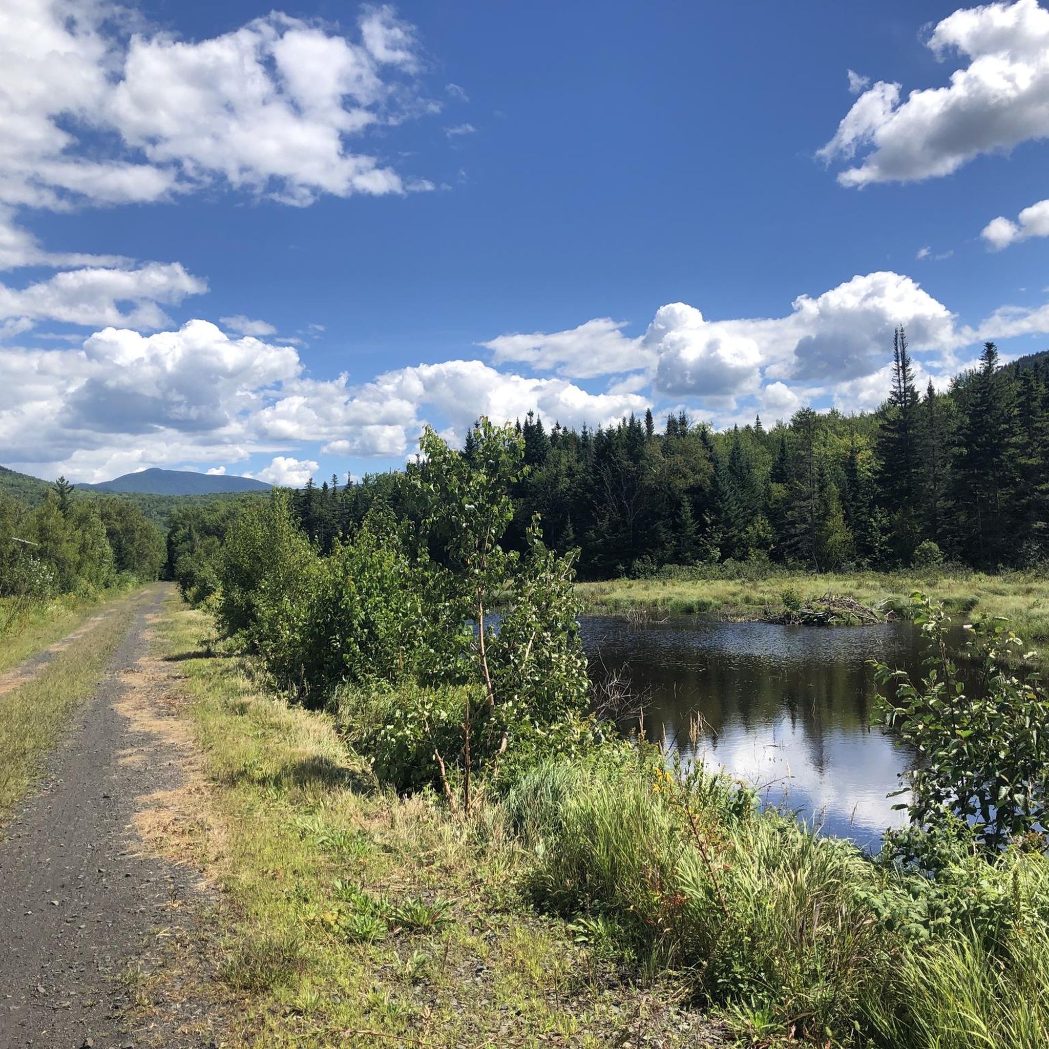
Road Cycling Routes around Gorham
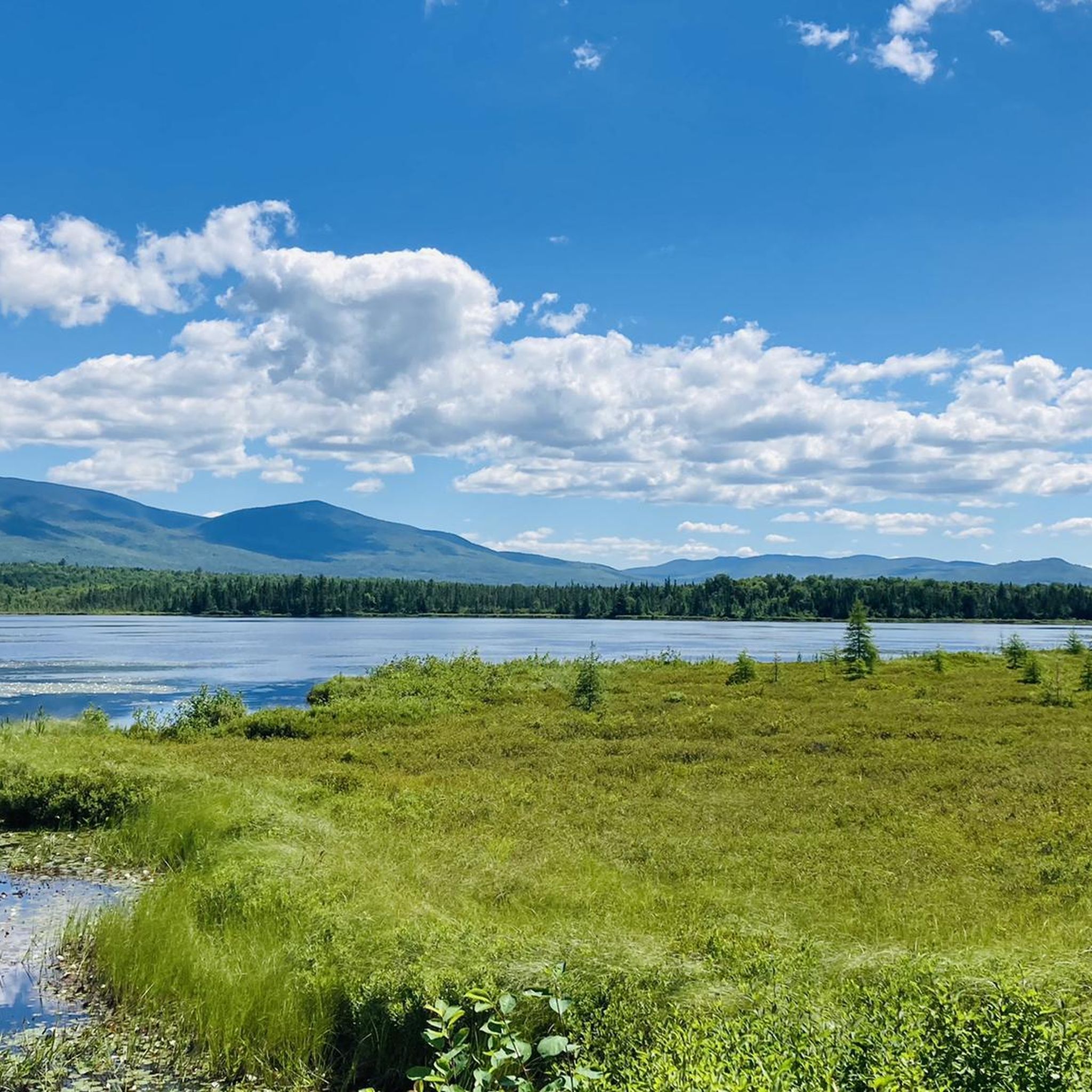
Road Cycling Routes in Pondicherry Division Of The Silvio O. Conte National Fish And Wildlife Refuge
Road Cycling Routes around Berlin

Road Cycling Routes in Great Gulf Wilderness
Road Cycling Routes in Moose Brook State Park

Road Cycling Routes around Lancaster

Road Cycling Routes around Whitefield

The Appalachian Trail — America's most iconic long-distance hike
Other adventures in Coos County


Tips from the Community

This remarkable 7.6-mile climb, accessible to cyclists only twice each year, commences in the town of Glen House. From there, the Mt. Washington Auto Road winds its way upward like a a two-lane ribbon. As you climb, you pass through forests and ultimately above the treeline. The views will pay you back when you reach the 6,288-foot summit of Mt. Washington!
0
0

Washington is the most prominent mountain in the eastern U.S. and an absolutely incredible peak to bag. This is easily one of the best summits in New England. It is also the most dangerous if you come unprepared, especially in the winter. Washington creates its own rapidly changing weather system and is known for being the deadliest small mountain in the world. The second-fastest wind speed on earth was recorded here at over 230mph. That said, a quarter million people visit Washington every year, and if you come prepared and respect the mountain you have nothing to fear and are guaranteed to have an epic summit.
0
0

This is not an “easy” ride up to top, it’s steady up w/steep pitches
4
0

Dress warmly. Snow season begins July 1 and ends June 30. We were at 68 mph at the summit. Keeping your hat on is a good idea. Two days ago, when we were last up there, it was 73 degrees Fahrenheit and the wind was blowing lightly around 23 mph. Mt. Washington is the highest peak within 1,000 miles, making it an exposed location with what the US Weather Service calls the worst and most surprising weather in the world.
0
0

At a height of 6,288 feet in elevation, Mount Washington is the highest point in the range, state, and region. Some people drive to the summit, but there are a couple of days each year that you can bike the paved road to the top, which is a popular challenge for avid cyclists. A gravel bike can be handy since some of the road grades get so steep that you need that bigger cassette. The two events hosted each year for cyclists is the Mount Washington Auto Road Bicycle Hillclimb race each August and the Early Bird (which is just a solo ride for 150 riders) in July. There are places to refill your water, go to the restroom, lock up your bike, and even get a bike to eat if you need it at the top on race day. Note that all riders have to get a ride down the mountain and aren't allowed to bike down the road!
0
0
The city of Berlin rests along the Androscoggin River and owes much of its history to the waterway. There are a number of different shops and restaurants in town, making Berlin a great starting/stopping point for a ride.
0
0
You get a great view of Mount Jasper from the highway right here. There are hiking trails leading to the top of the mountain if you decide to go for a hike later in the day.
0
0
The bottom of the Mount Washington Cog Railway is also known as Marshfield Station. This marked the end of the paved road and the start of some rough singletrack trails. It's uphill all the way to the station, so it's a fast downhill when you leave.
0
0
Frequently Asked Questions
How many road cycling routes are available in Coos County?
Coos County offers a diverse selection of over 25 road cycling routes. These routes cater to various skill levels, including easy, moderate, and difficult options, ensuring there's a ride for every cyclist.
Are there road cycling routes suitable for beginners in Coos County?
Yes, Coos County has several easier road cycling routes. For instance, the Base Station Road & Mount Clinton Road loop from Crawford Notch State Park is a moderate 15.8-mile option with manageable elevation gain, offering a good experience for those newer to road cycling.
What are the most challenging road cycling routes in Coos County?
For experienced cyclists seeking a challenge, Coos County features routes with significant elevation. The Mount Washington Auto Road Bicycle Hillclimb race course is a difficult 7.8-mile climb with over 4,600 feet of elevation. Another demanding option is the Pinkham Notch and Evan's Notch loop, a difficult 72.2-mile path with over 5,600 feet of climbing through scenic mountain passes.
What natural features and landmarks can I see along Coos County's road cycling routes?
Many routes in Coos County offer views of stunning natural features. You can cycle past beautiful lakes, such as Hermit Lake or Lost Pond. Some routes also provide glimpses of majestic mountain peaks like Mount Washington Summit or Mount Jackson Summit, especially on routes that traverse mountain passes and notches.
Are there any circular road cycling routes in Coos County?
Yes, Coos County offers several excellent loop routes. The Gorham, Carroll, & Jackson loop is a popular 79.2-mile option, while the Upper Coos Rail Trail and Beaver Brook Falls Loop provides a moderate 31.1-mile ride.
What do other cyclists say about road cycling in Coos County?
The road cycling routes in Coos County are highly regarded by the komoot community, with an average rating of 5.0 stars from 2 reviews. Cyclists often praise the challenging mountain ascents, scenic notches, and forested valleys that define the region's diverse terrain.
When is the best time of year for road cycling in Coos County?
Road cycling in Coos County is generally best during the warmer months, typically from late spring through early autumn. This period offers more favorable weather conditions and ensures that mountain passes are clear of snow and ice, providing the most enjoyable and accessible riding experience.
Are there any longer road cycling routes for endurance rides?
For those looking for longer rides, Coos County has several extensive routes. The Berlin Road & Daniel Webster Highway loop spans over 83 miles, and the Gorham, Carroll, & Jackson loop is nearly 79 miles, both offering significant distances and elevation.
Can I find routes that pass by multiple lakes?
Yes, some routes are designed to showcase the region's beautiful lakes. The First, Second, & Third Connecticut Lakes via Daniel Webster Highway route is a moderate 31-mile ride that specifically highlights these picturesque bodies of water.
Are there any less-trafficked or 'hidden gem' road cycling routes?
While specific traffic levels can vary, routes like the Back Lake to Beaver Brook Falls loop offer a moderate 30.3-mile ride through scenic areas, potentially providing a quieter experience away from the most popular thoroughfares.
Where can I find trailhead access or parking for road cycling routes in Coos County?
Many road cycling routes in Coos County originate from or pass through state parks and towns, which often provide parking. For example, the Base Station Road & Mount Clinton Road loop starts from Crawford Notch State Park, a common access point for outdoor activities.
Most popular routes in Coos County
Most popular attractions in Coos County

Get inspired with the komoot mobile app


Didn’t find what you were looking for?
Check out more Road cycling routes throughout Coos County below and find the perfect route in your destination.
Explore more
Browse the best Road cycling routes in other regions.
