The best walks and hikes around Krankesjön
4.5
(304)
2,056
hikers
79
hikes
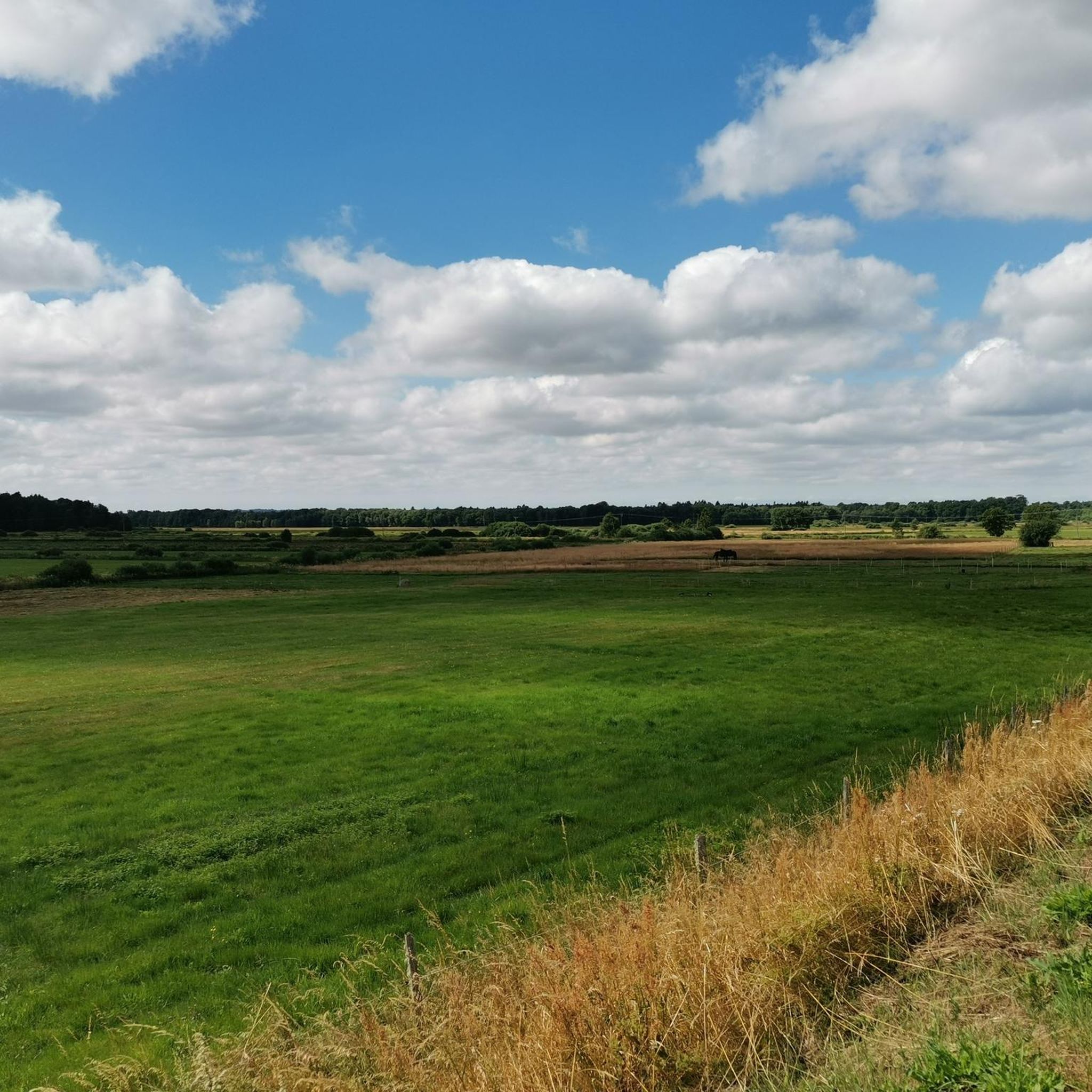
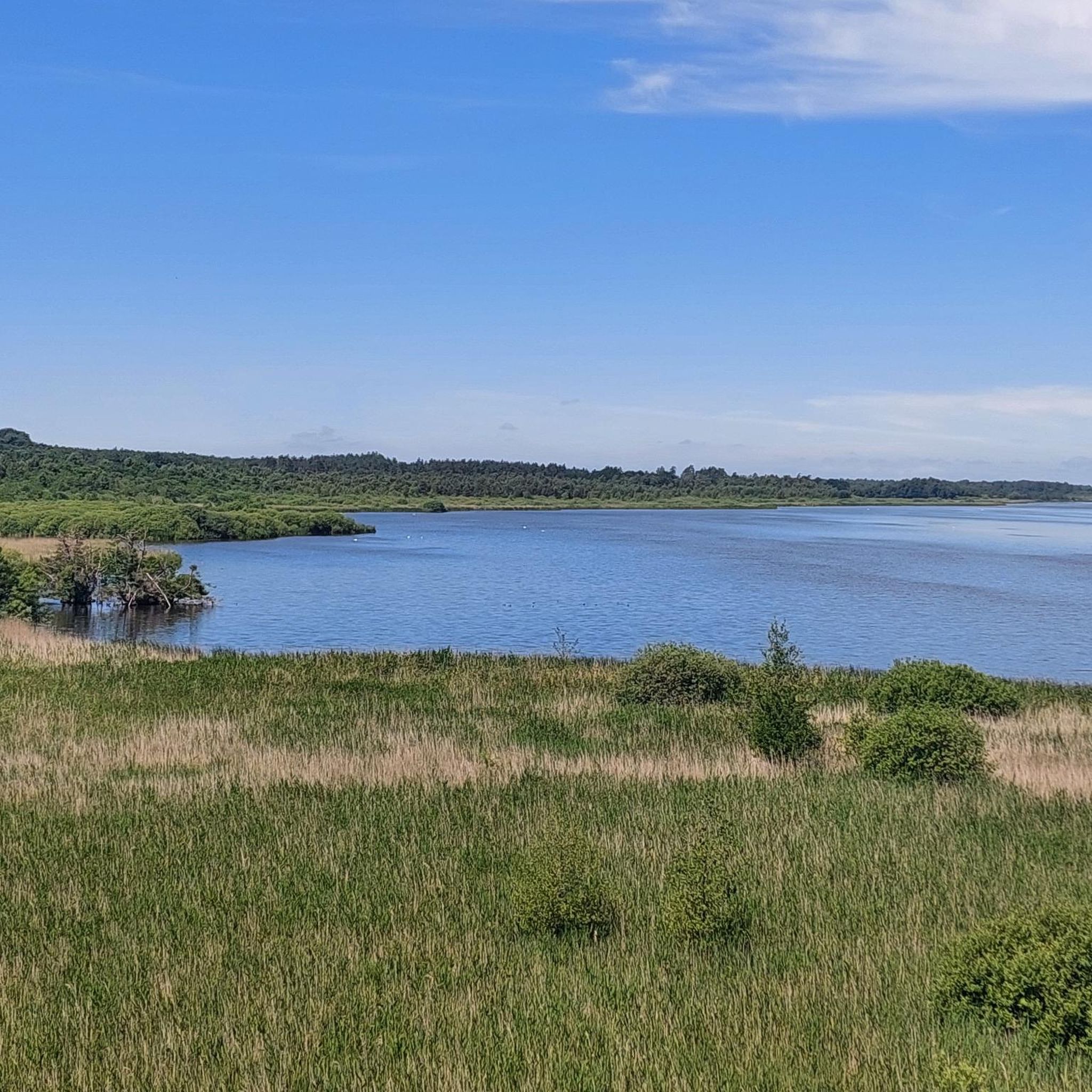
Hiking around Krankesjön offers trails through a landscape characterized by the lake itself, surrounding woodlands, and generally flat terrain. The region in Skåne, Sweden, features low elevation changes, making many routes accessible. Hikers can expect paths that wind through forests, open areas near the lake, and past points of interest like windshelters. The area provides opportunities for observing local flora and fauna.
Best hiking trails around Krankesjön
- The most popular hiking route is Krankesjön Windshelter loop from Silvåkra kyrka,…
Last updated: August 18, 2026
7
hikers
Moderate hike. Good fitness required. Easily-accessible paths. Suitable for all skill levels.
1.0
(1)
7
hikers
Moderate hike. Good fitness required. Easily-accessible paths. Suitable for all skill levels.

Sign up for free
5.0
(2)
4
hikers
Easy hike. Great for any fitness level. Easily-accessible paths. Suitable for all skill levels.
14
hikers
Easy hike. Great for any fitness level. Easily-accessible paths. Suitable for all skill levels.
5.0
(4)
6
hikers
Easy hike. Great for any fitness level. Easily-accessible paths. Suitable for all skill levels.
Get access to more routes and recommendations from other explorers.
Sign up for free
Already have an account?
Our route recommendations are based on thousands of hikes, rides, and runs completed by other people on komoot.
Start today with a free account
Your next adventure awaits.
Login or Signup
Tips from the Community

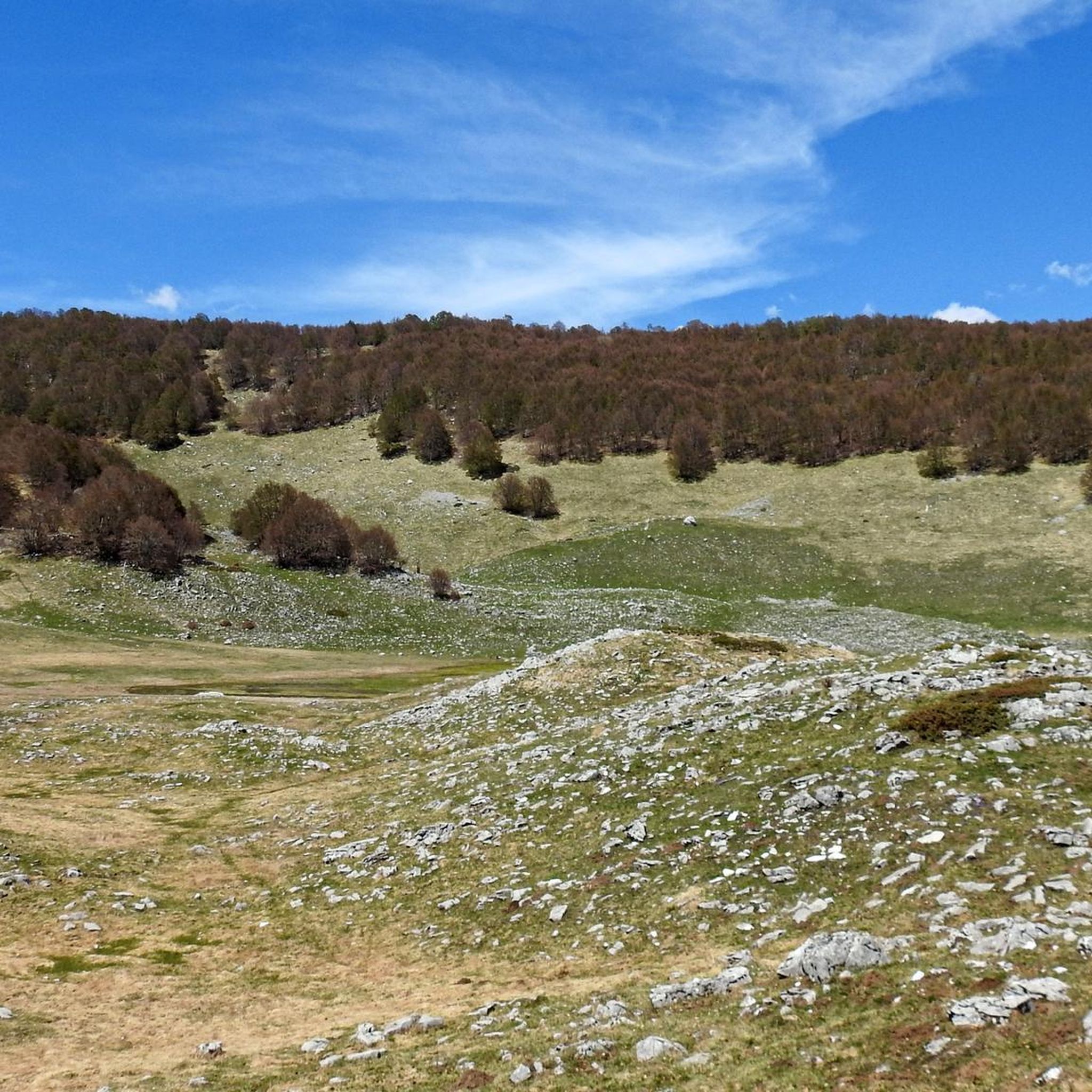
Beautiful beech forest with a few “troll beeches” in between.
0
0
There is a small bench here for tired legs.
0
0

Trollskogen in Skåne harbors one of Europe‘s biggest occurances of dwarf beeches.
3
0

There are two shelter-huts not visible from the gravel road, each ones entry directed in opposite directions (north or south), which might be helpful depending on the wind conditions when there is bad weather. The toilet facility is located south of the shelters, where the path leads back to the gravel road. The bird-watch hut is located in the north west. If you arrive in the dark this might be useful.
0
0

Shelter with outhouse. Unfortunately, the shelter is more in the bushes than on the lake. It's a few minutes' walk to the lake.
0
0

There is a bird watching tower and further on a footbridge with huts for observation. In between there is a large shelter with fire pits.
2
0

There is a barbecue area nearby so you can can cook if you plan on staying for a while.
0
0

huge tower and hideout to watch over Krankesjön from the east. One of the best birding lakes in Sweden.
0
1
Frequently Asked Questions
How many hiking trails are available around Krankesjön?
There are over 75 hiking trails around Krankesjön, offering a variety of options for different skill levels. The komoot community has explored these routes over 1800 times.
Are there easy hiking trails suitable for beginners around Krankesjön?
Yes, Krankesjön is known for its generally flat terrain and low elevation changes, making it ideal for beginners. There are 49 easy routes available, such as the Krankesjön Windshelter loop from Ekskogen, which is 4.3 miles (6.8 km) long and takes about 1 hour 45 minutes.
What are the best circular walks around Krankesjön?
Many of the trails around Krankesjön are circular, allowing you to return to your starting point. Popular options include the Krankesjön Windshelter loop from Silvåkra kyrka, a 6.5-mile (10.4 km) trail, and the Krankesjön Windshelter loop from Revinge, which is 8.0 miles (12.8 km).
Are the hiking trails around Krankesjön suitable for families with children?
Yes, many trails are family-friendly due to the region's flat landscape and well-maintained paths. Routes like the Trollskogen Dwarf Beeches – Picnic Table and Fire Pit loop from Kaninlandet, at 2.7 miles (4.3 km), are particularly good for shorter outings with children.
Can I bring my dog on the hiking trails at Krankesjön?
Generally, dogs are welcome on trails in Sweden, but they should be kept on a leash, especially during certain times of the year (March 1 to August 20) to protect wildlife. Always check local signage for specific rules in nature reserves.
What is the best season for hiking around Krankesjön?
The spring and autumn months are often ideal for hiking around Krankesjön, offering pleasant temperatures and beautiful scenery. Spring brings blooming flora, while autumn showcases vibrant fall colors. Summer is also popular, though it can be warmer.
What kind of wildlife can I expect to see while hiking around Krankesjön?
Krankesjön is known for its rich birdlife, especially during migration periods, as it's an important bird lake. You might also spot deer, hares, and various smaller mammals in the surrounding woodlands and open areas.
Are there any facilities like cafes or picnic spots near the Krankesjön hiking trails?
While specific cafes might be limited directly on the trails, many routes pass by designated windshelters and picnic areas, some with fire pits, like those found on the Trollskogen Dwarf Beeches – Picnic Table and Fire Pit loop. It's advisable to bring your own refreshments.
What do other hikers enjoy most about hiking in Krankesjön?
The area is highly rated by the komoot community, with an average score of 4.5 stars. Reviewers often praise the serene lake views, the peaceful woodlands, and the accessibility of the generally flat paths, making it a relaxing outdoor experience.
Are there good viewpoints along the hiking trails at Krankesjön?
Yes, many trails offer expansive views of Krankesjön and its surrounding landscape. The routes are designed to provide scenic perspectives of the lake, especially those that traverse open sections near the water's edge.
What are the typical trail conditions like for winter hiking around Krankesjön?
Winter hiking conditions can vary. While the terrain is generally flat, trails may become icy or covered in snow. It's essential to wear appropriate footwear with good grip and check local weather conditions before heading out. Some paths might be less maintained in winter.
Is parking available at the trailheads around Krankesjön?
Yes, parking is typically available at common starting points for trails, such as near Silvåkra kyrka or Revinge, which are popular access points for the windshelter loops. Specific parking information can often be found on individual route descriptions.
Most popular routes around Krankesjön

Get inspired with the komoot mobile app


Explore more
Browse the best Hikes in other regions.
