The best walks and hikes in Monterey County
4.7
(630)
8,390
hikers
305
hikes
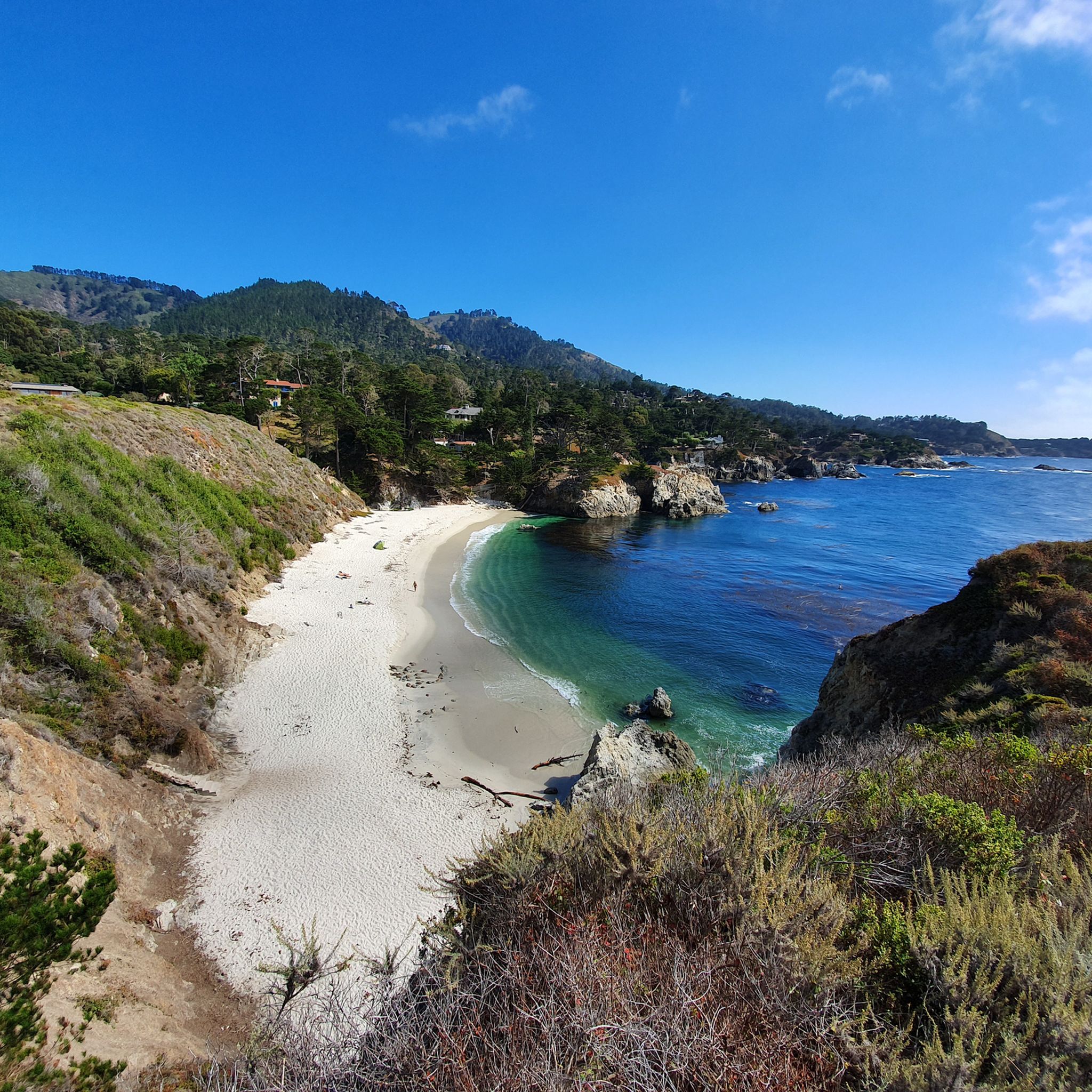
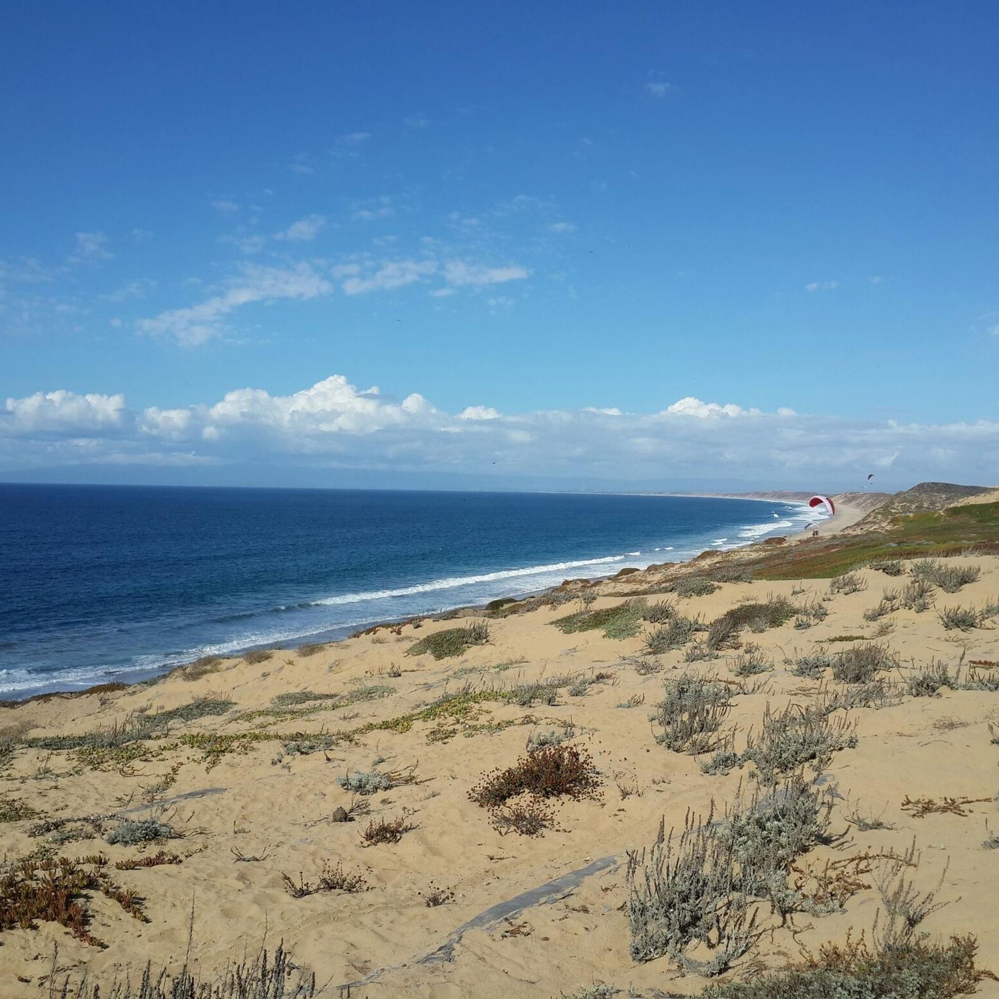
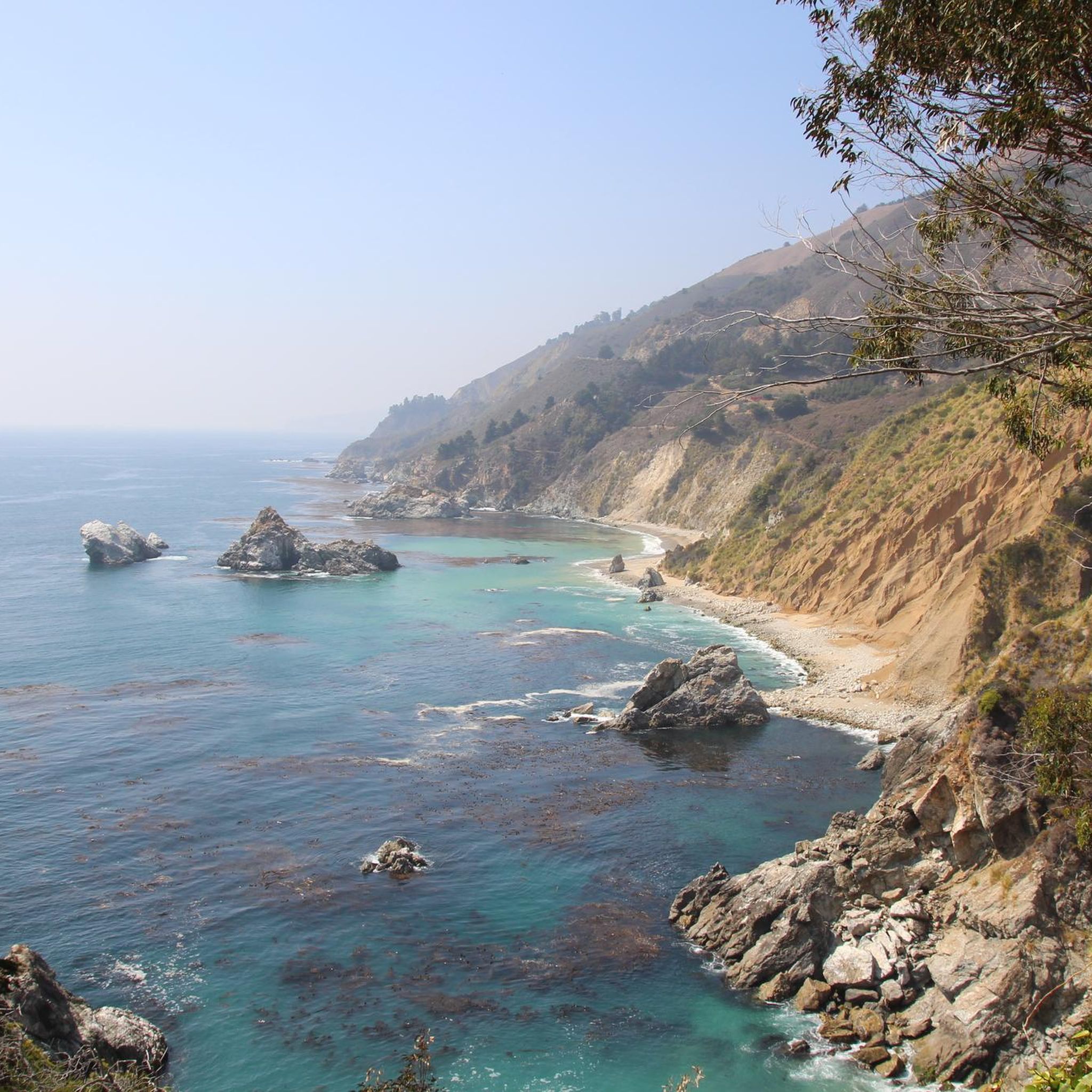
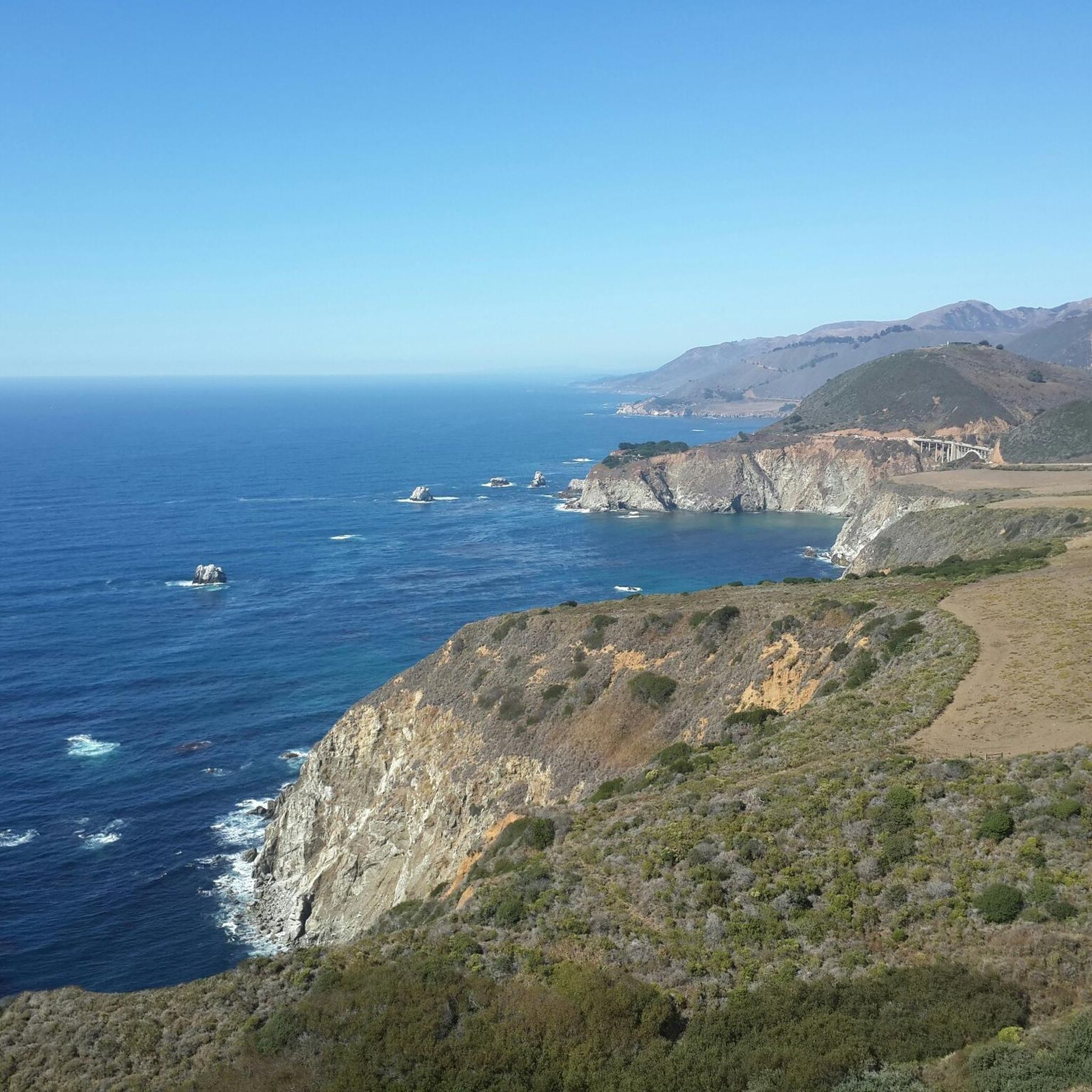
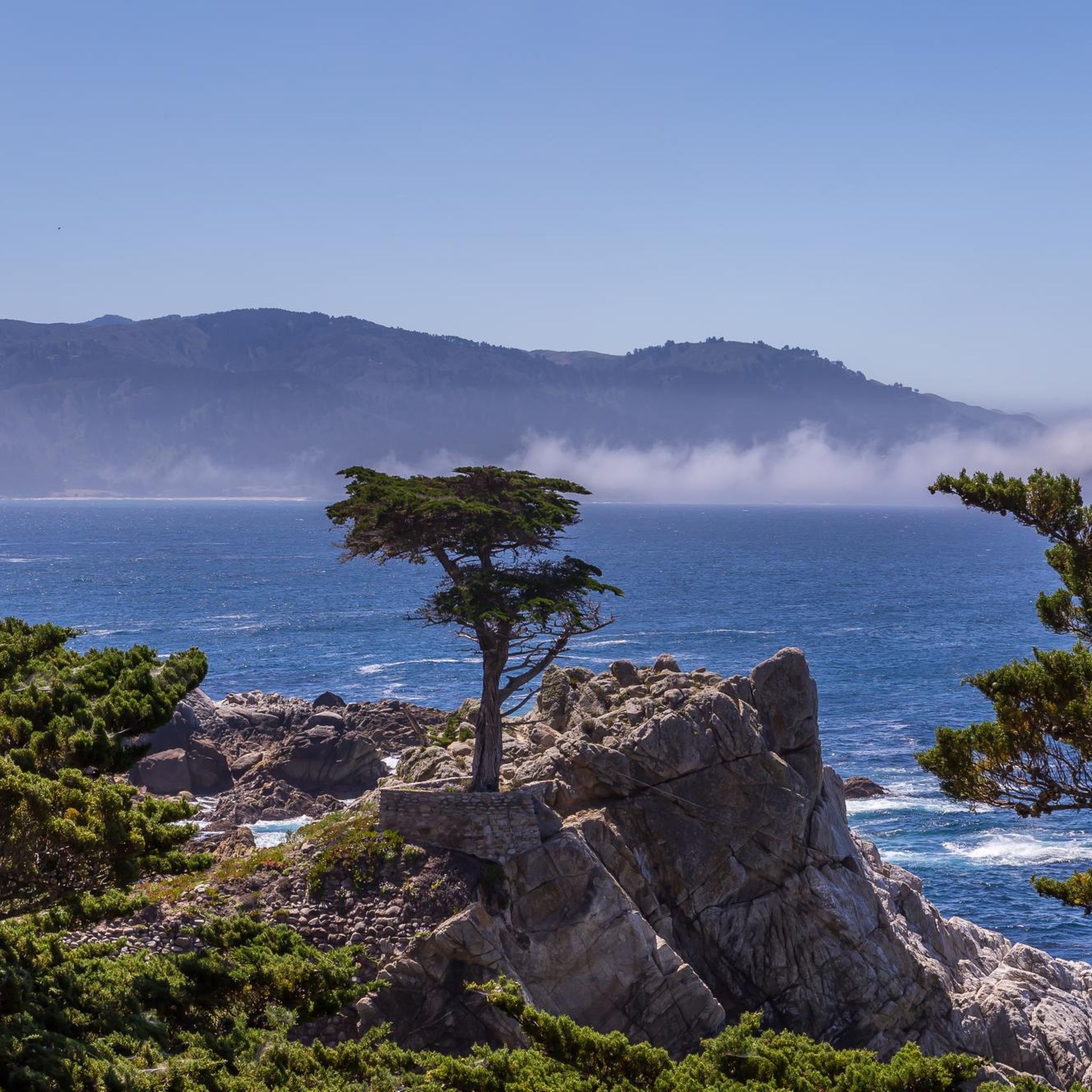
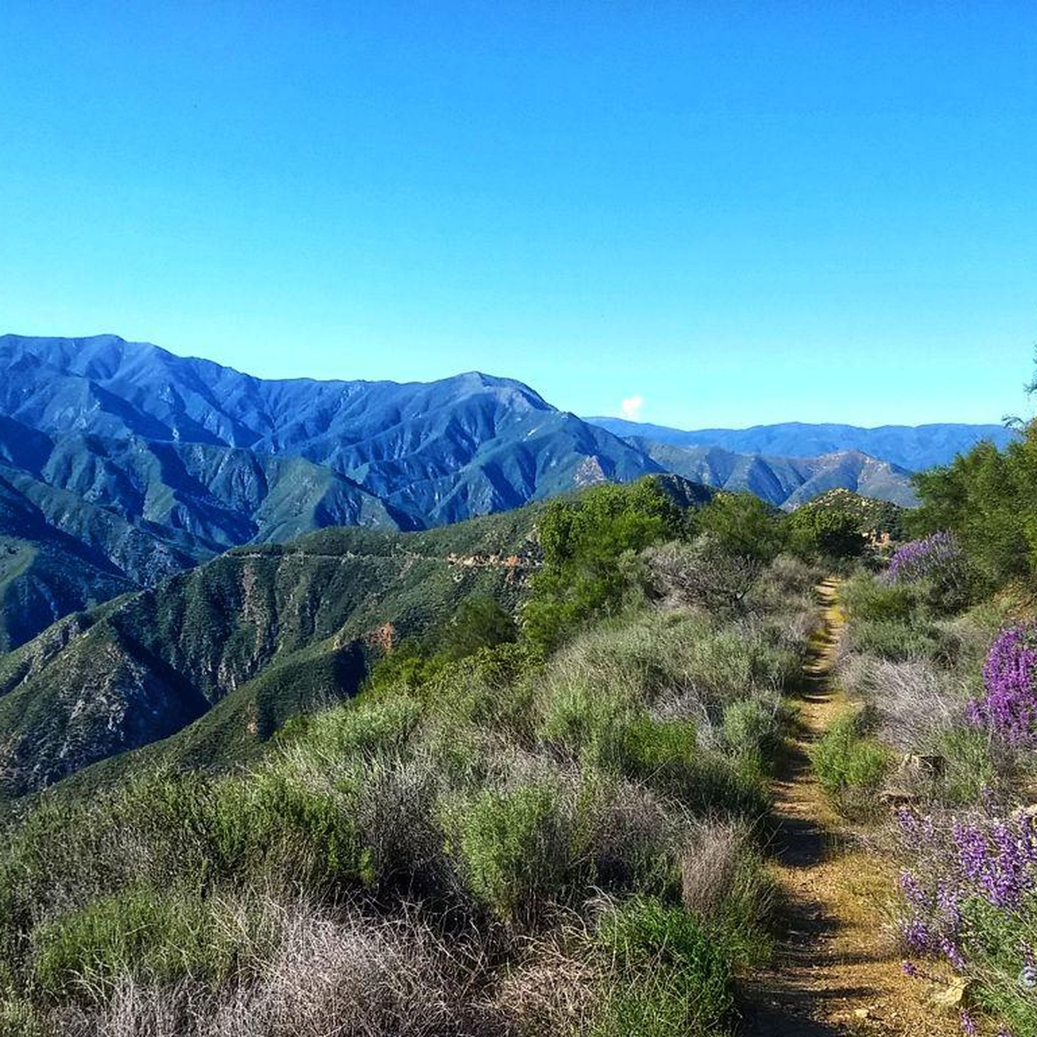
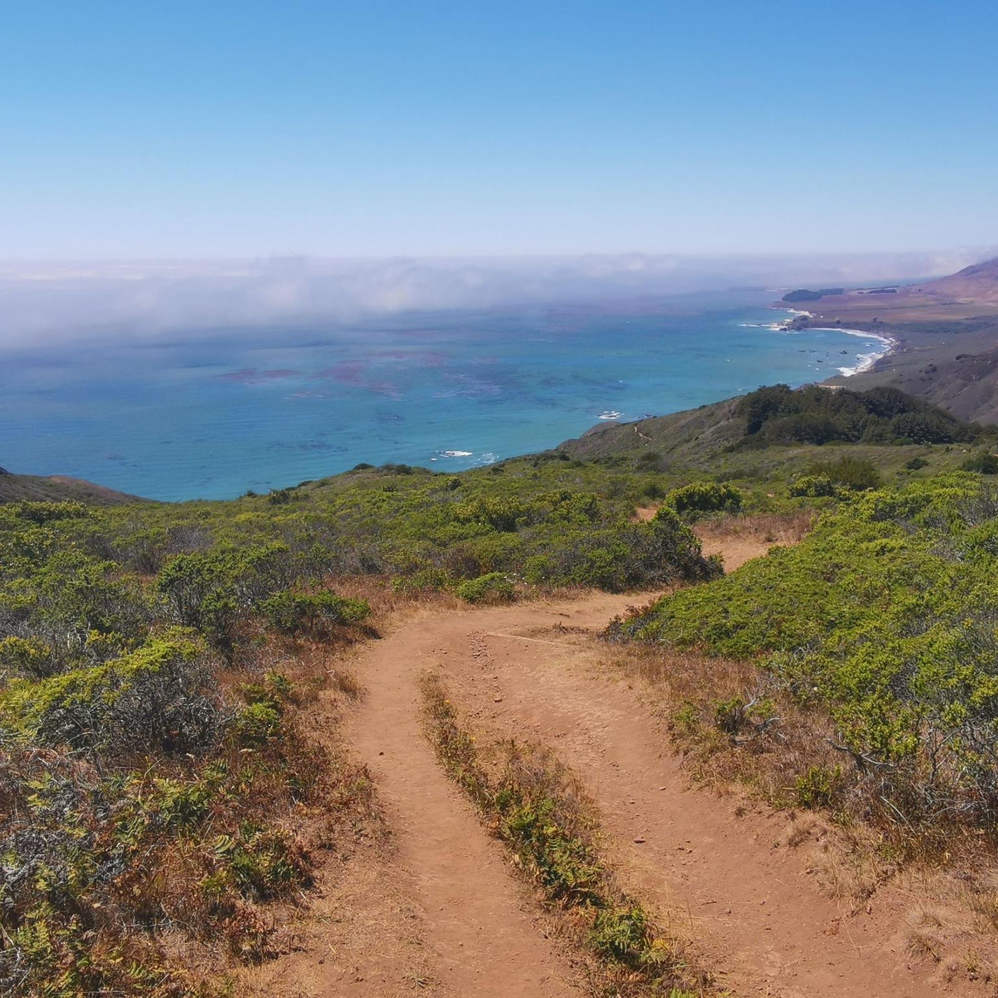
Hiking in Monterey County offers a diverse range of landscapes, from rugged Pacific coastlines to canyons filled with redwood trees. The region's terrain includes coastal bluffs, river valleys, oak woodlands, and rolling hills within state parks and natural reserves. Trails vary from level coastal paths to more demanding climbs with significant elevation gain, providing options for different fitness levels. Volcanic formations are also present in the southeastern part of the county.
Best hiking trails in Monterey County
- The most popular…
Last updated: September 27, 2026
4.8
(100)
635
hikers
7.09km
01:54
80m
80m
Easy hike. Great for any fitness level. Easily-accessible paths. Suitable for all skill levels.
5.0
(6)
100
hikers
1.49km
00:27
30m
90m
Easy hike. Great for any fitness level. Easily-accessible paths. Suitable for all skill levels.

5.0
(4)
67
hikers
19.9km
06:26
910m
760m
Hard hike. Very good fitness required. Easily-accessible paths. Suitable for all skill levels.
4.6
(51)
484
hikers
4.48km
01:22
160m
160m
Easy hike. Great for any fitness level. Easily-accessible paths. Suitable for all skill levels.
5.0
(1)
45
hikers
8.43km
02:29
220m
260m
Moderate hike. Good fitness required. Easily-accessible paths. Suitable for all skill levels.
37
hikers
9.55km
03:08
480m
340m
Moderate hike. Good fitness required. Easily-accessible paths. Suitable for all skill levels.
5.0
(2)
36
hikers
6.62km
02:00
200m
200m
Easy hike. Great for any fitness level. Easily-accessible paths. Suitable for all skill levels.
5.0
(3)
28
hikers
9.63km
03:16
470m
470m
Moderate hike. Good fitness required. Easily-accessible paths. Suitable for all skill levels.
4.3
(3)
31
hikers
10.1km
02:50
200m
200m
Moderate hike. Good fitness required. Easily-accessible paths. Suitable for all skill levels.
25
hikers
6.11km
01:35
30m
30m
Easy hike. Great for any fitness level. Easily-accessible paths. Suitable for all skill levels.
Get access to more routes and recommendations from other explorers.
Already have an account?
Our route recommendations are based on thousands of hikes, rides, and runs completed by other people on komoot.
Start today with a free account
Your next adventure awaits.
Popular around Monterey County
Other adventures in Monterey County


Tips from the Community


Point Piños Lighthouse, the second oldest lighthouse on the California Pacific coast, is also the longest continually operating one. It was commissioned in February 1855 and has provided vital navigation assistance at the southern entrance to Monterey Bay, an area notorious for its dangerous rocks. This lighthouse is especially remarkable for having had two women serve as keepers throughout its history.
0
0

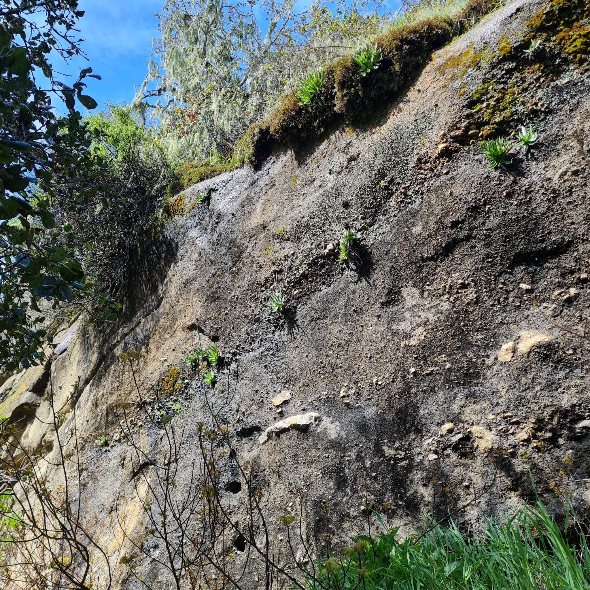
Great waterfall in Garland Ranch Regional Park. The trail to get to the waterfall is well-marked and not technical, so the walk to get to the falls is definitely worth it.
0
0
The Waterfall Trail is a beautiful trail that winds through the Garland Ranch Regional Park. As the name suggests, it passes by a wonderful waterfall.
0
0

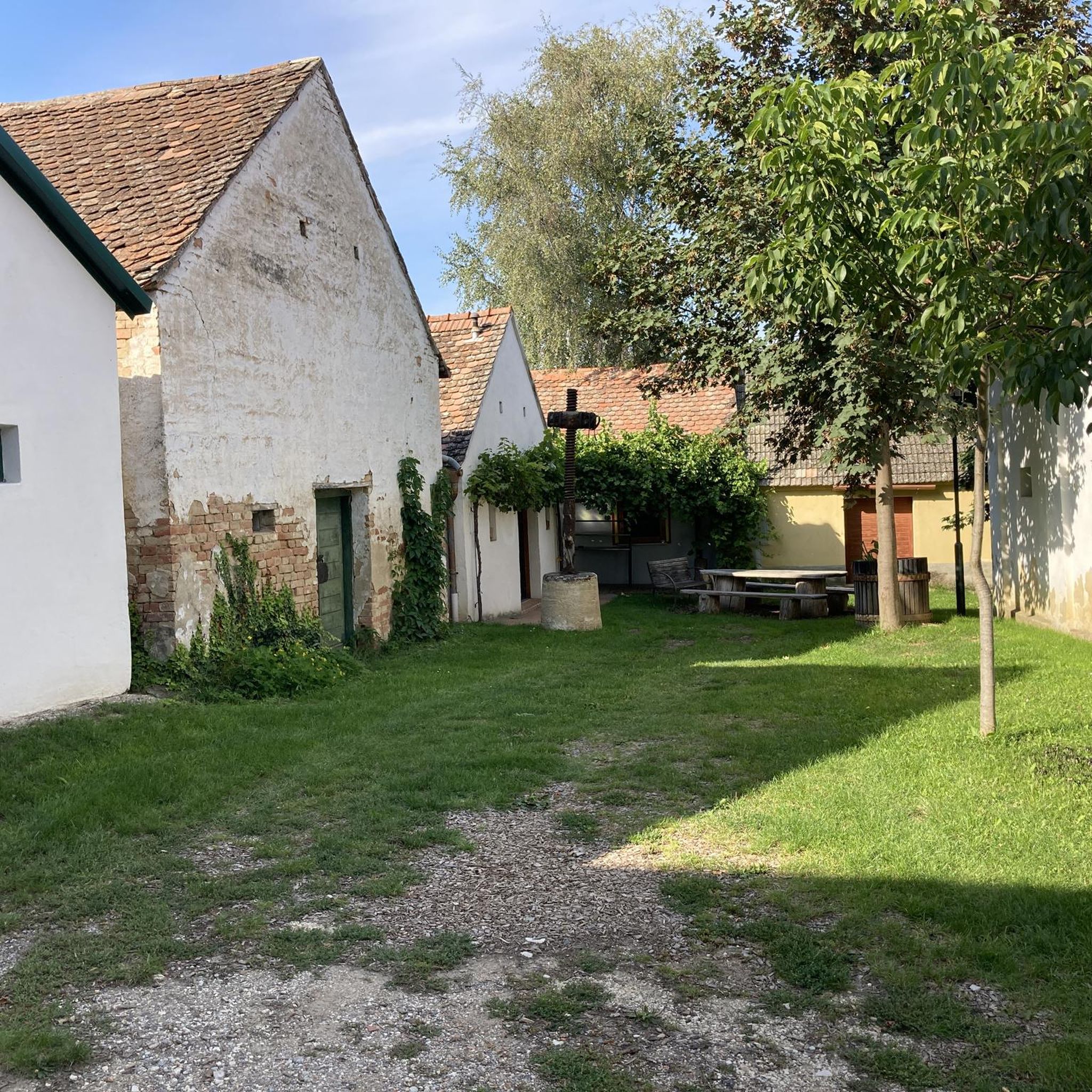
Very interesting to see how life used to be.
1
0
Wonderful and varied coastal landscape with many birds, seals and sea lions.
1
0

Ventana Camp, located off Pine Ridge Trail by hiking up Ventana Camp Trail, is a peaceful retreat by the Big Sur River, near the confluence with Ventana Creek. Accessed via a steep ascent and switchbacks, the camp offers a relaxing atmosphere, with fewer visitors than other nearby camp spots. The 40-acre redwood canyon campground features tent-only sites with picnic tables, fire rings, nearby water faucets, and bathrooms. There are also luxury camping experiences; guests can opt for safari-style canvas tents with premium linens. RVs and trailers are not allowed, and check-in times are 2 pm for camping and 4 pm for glamping, with check-out at 11 am.
0
0

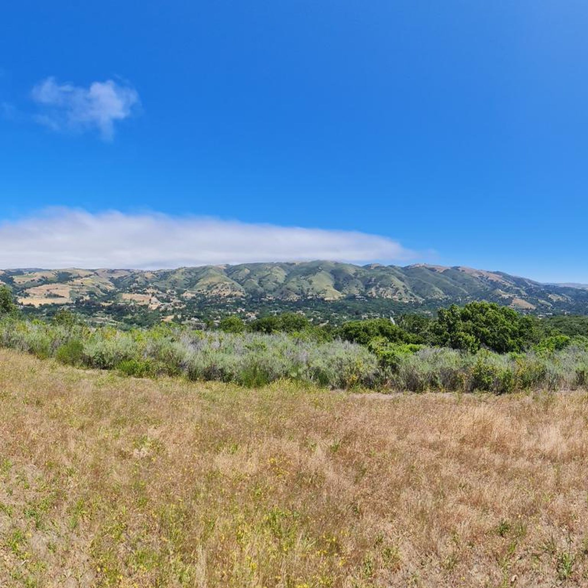
Mesa Pond lies just off the trail in an open meadow, offering a peaceful break and great views of Carmel Valley.
0
0
Frequently Asked Questions
Are there many hiking trails to choose from in Monterey County?
Yes, there's a wide variety. You can explore over 220 routes across the county, ranging from easy coastal walks to challenging mountain climbs. About two-thirds of these are considered easy, making the region accessible for many fitness levels.
What do other hikers enjoy about the trails in Monterey County?
The region is highly rated by the komoot community, with an average score of 4.8 stars. Hikers frequently praise the stunning coastal views, the serene redwood groves in Big Sur, and the well-maintained trails within the state parks.
Are there any good family-friendly hikes in the area?
Absolutely. For an easy and scenic walk that's great for all ages, consider the Creamery Meadows Trail — Andrew Molera State Park. It's a relatively flat 2.5-mile (4 km) path that leads through meadows to a beautiful beach, offering plenty of space for kids to explore.
Can I bring my dog on hikes in Monterey County?
Many parks have restrictions, but Garland Ranch Regional Park is a well-known local favorite for being very dog-friendly. It offers a variety of trails where dogs are welcome, from easy riverside paths to more strenuous canyon climbs.
Where can I find a hike with a waterfall?
Pfeiffer Big Sur State Park is your best bet for waterfalls. The Valley View Overlook via Valley View Trail is a popular choice that not only leads to a viewpoint of the 60-foot (18 m) Pfeiffer Falls but also offers panoramic vistas of the Big Sur River Valley.
What are some good options for short and easy hikes?
For a very accessible and beautiful coastal walk, the Whaler's Cove to Sandhill Cove — Point Lobos State Natural Reserve trail is an excellent choice. It's about 3 miles (4.9 km) with minimal elevation gain, following the stunning shoreline and offering great opportunities for wildlife spotting.
I'm looking for a challenging hike. Any recommendations?
For a more strenuous outing with significant elevation gain, the Bluffs & Ridge Trails Loop — Andrew Molera State Park is a great option. This 8.4-mile (13.6 km) loop involves a steep climb that rewards you with breathtaking panoramic views of the Pacific coastline.
Are there any circular hikes with great views?
Yes, the Buzzards Roost Trail loop — Pfeiffer Big Sur State Park is a fantastic circular route. This 3.6-mile (5.8 km) trail takes you through redwood groves and then up to a viewpoint offering wonderful vistas of the ocean and the Santa Lucia mountains.
Where can I see the giant redwood trees on a hike?
Big Sur is famous for its redwoods. A great trail to experience them is the Buzzards Roost Trail via Redwood & River Path loop. This route combines a peaceful walk alongside the Big Sur River with a climb through a beautiful forest of coast redwoods.
What's the best time of year for hiking in Monterey County?
You can hike year-round, but spring (March to May) is particularly beautiful when the coastal wildflowers are in full bloom, especially in places like Garrapata State Park. Autumn (September to November) is also ideal, offering clear skies and pleasant temperatures.
What are the key differences between hiking in Garrapata State Park versus Point Lobos?
Both offer stunning coastal scenery, but they have different characters. Point Lobos State Natural Reserve is more compact and famous for its incredible biodiversity and unique geological formations, often called the 'crown jewel' of the state parks. Garrapata State Park is more rugged and expansive, with trails that climb steeply from the coast into the mountains, offering dramatic, sweeping views and beautiful spring wildflowers.
How difficult are the trails in Pinnacles National Park?
Pinnacles offers a range of difficulties. While there are some easier trails on the canyon floors, the park is known for its more strenuous routes that climb steeply through its unique volcanic rock formations. Many trails are narrow and exposed to the sun, so be sure to bring plenty of water.
Most popular routes in Monterey County
Most popular attractions in Monterey County

Get inspired with the komoot mobile app


Didn’t find what you were looking for?
Check out more Hikes throughout Monterey County below and find the perfect route in your destination.
Explore more
Browse the best Hikes in other regions.
