The best MTB trails in San Miguel County
5.0
(5)
220
riders
25
rides
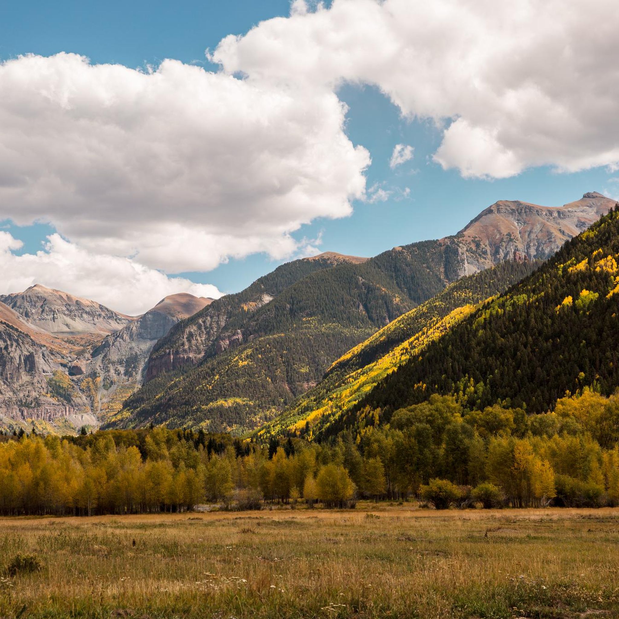
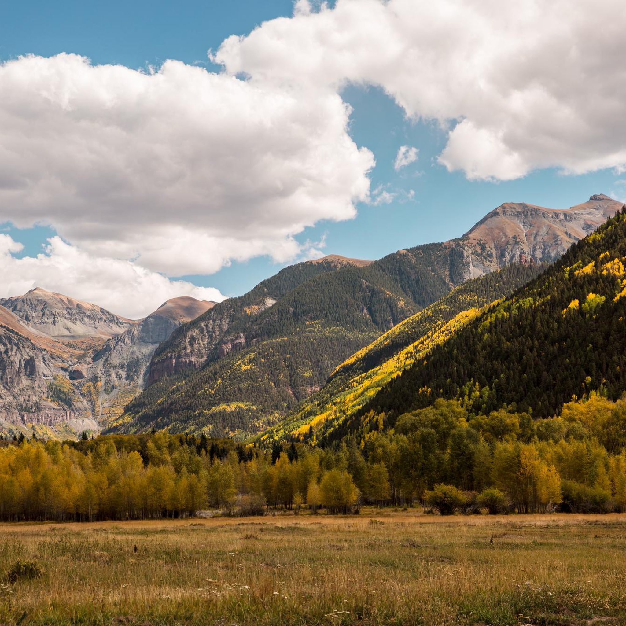
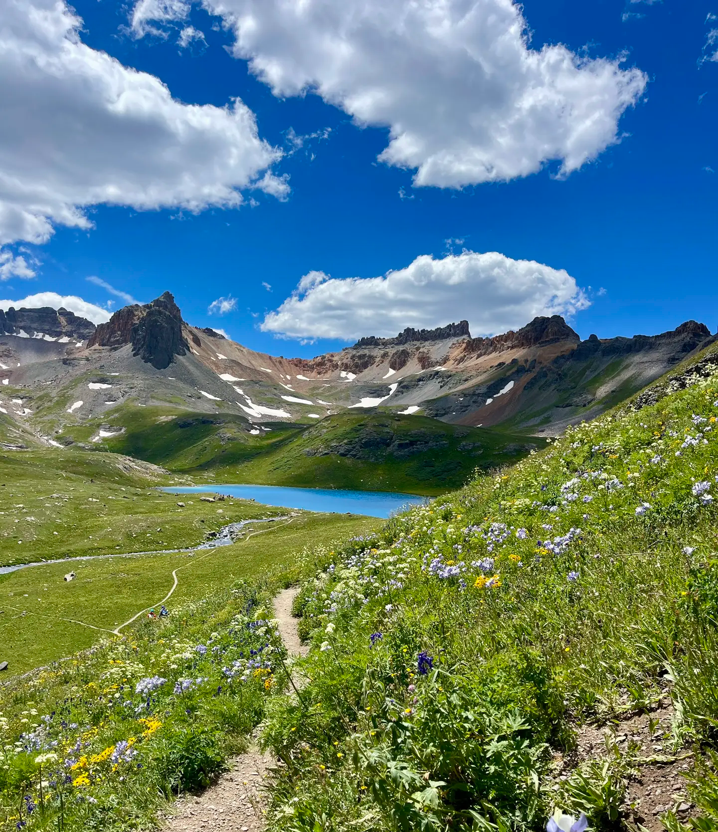
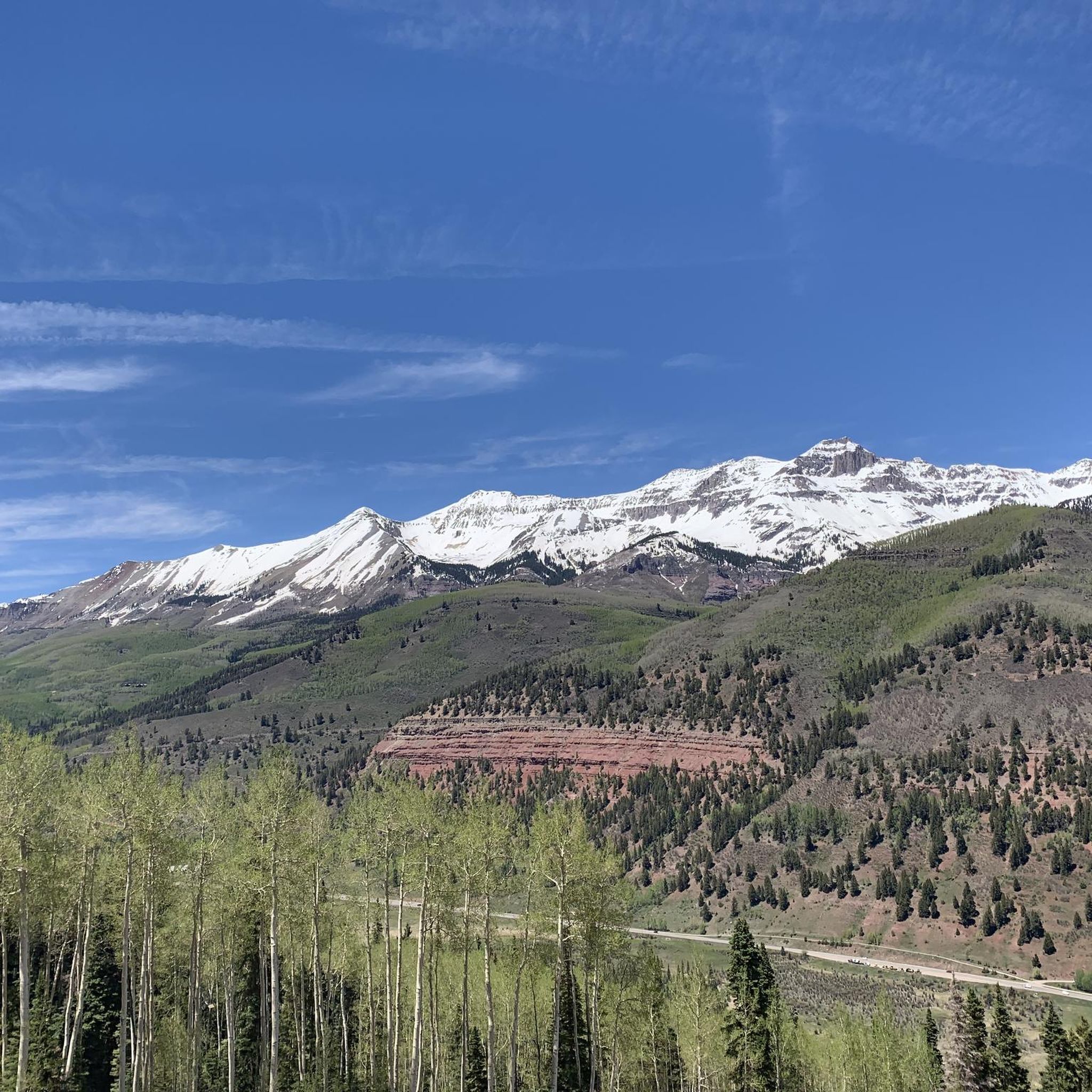
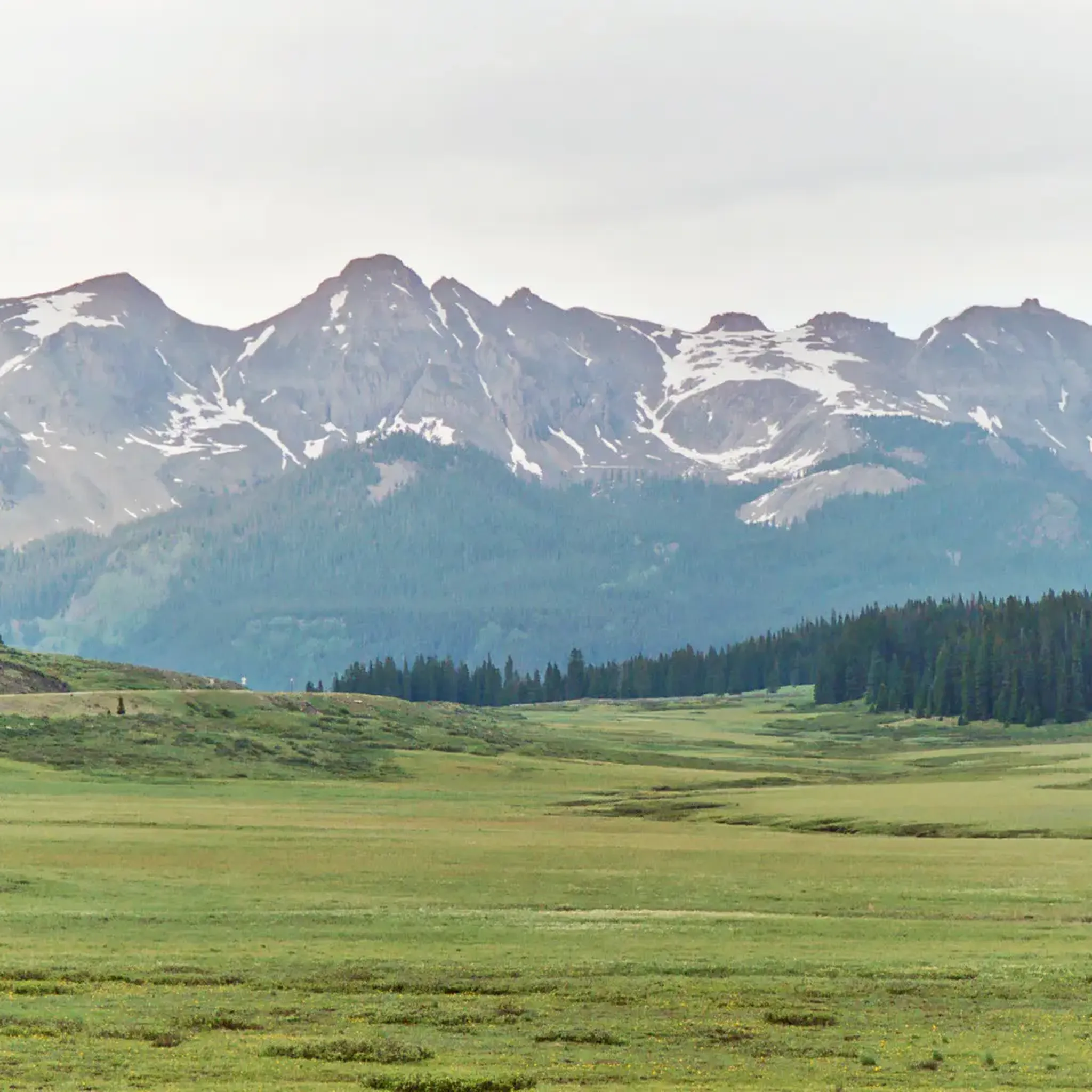
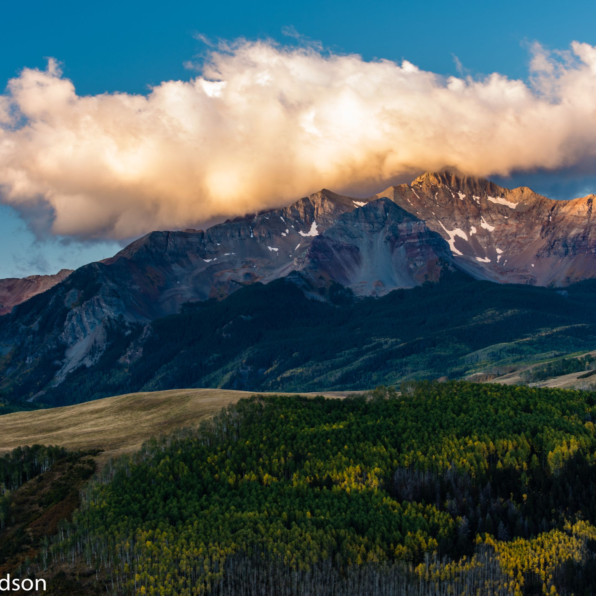
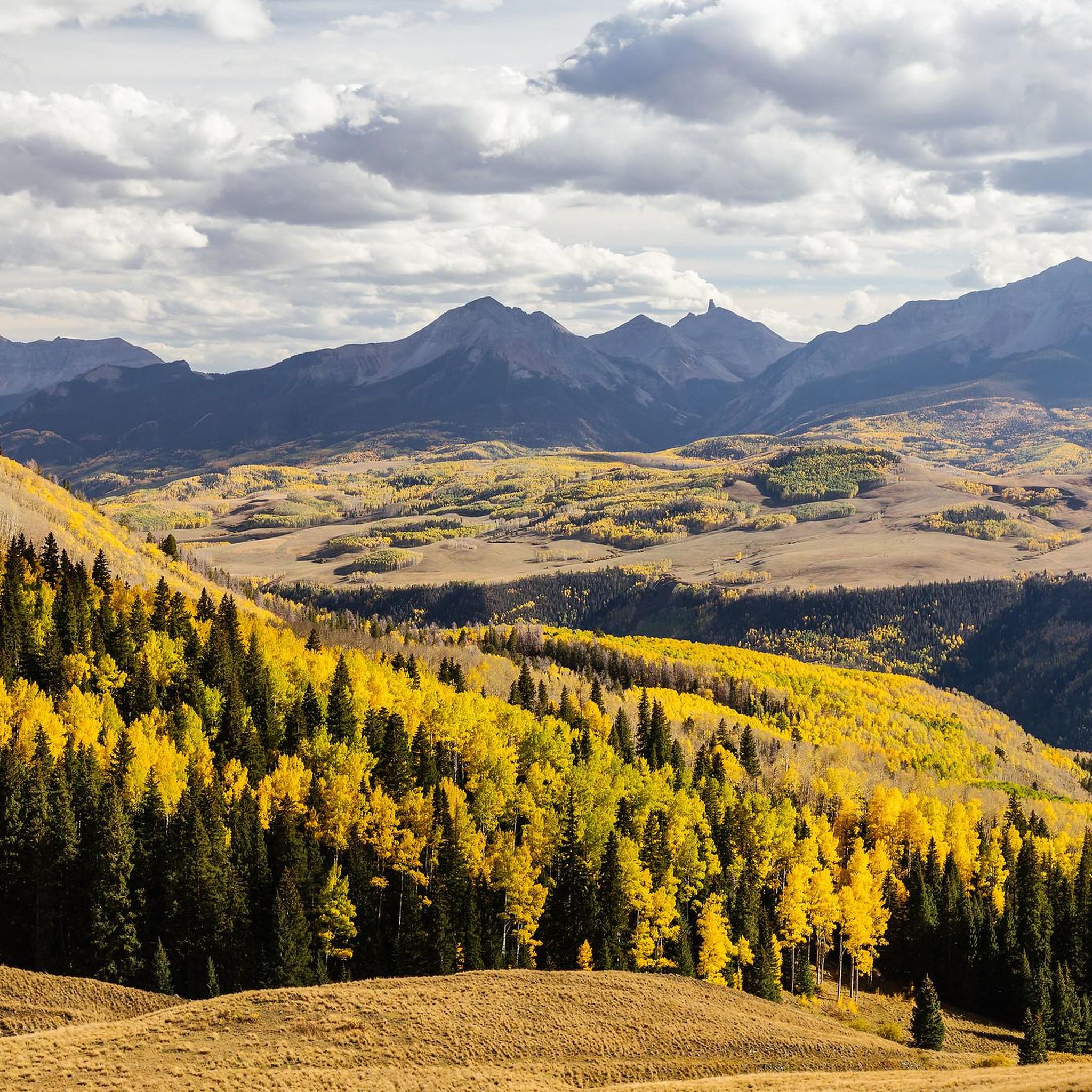
Mountain biking in San Miguel County offers diverse and rugged terrain across both Colorado and New Mexico. The region features towering peaks, lush valleys, extensive forests, and winding rivers, providing varied landscapes for riders. Canyons with red-rock sandstone walls and high-altitude wilderness areas characterize much of the terrain. Riders can explore everything from broad plains to the 11,800-foot peaks of the Sangre de Cristo Mountains.
Best mountain bike trails in San Miguel County
- The most popular mountain bike trail is Imogene Pass Road, an 18.5 miles (29.8 km) trail that takes 3 hours 55 minutes to complete. This challenging route features significant elevation gain through a mountain pass.
- Another top favourite among local mountain bikers is Prospect Loop Trail, a difficult 16.5 miles (26.5 km) path. This trail offers extensive singletrack riding with varied terrain and views.
- Local mountain bikers also love the Telluride Valley Floor Loop, a 7.9 miles (12.6 km) trail leading through the scenic valley floor, often completed in about 56 minutes.
- Mountain biking in San Miguel County is defined by towering peaks, deep canyons, and high-altitude wilderness. The network offers options for different ability levels, from easy valley loops to difficult mountain ascents.
- The routes in San Miguel County are highly rated by the komoot community with an average score of 5.0 stars from 5 reviews. More than 170 mountain bikers have used komoot to explore San Miguel County's varied terrain.
Last updated: June 25, 2026
3
riders
29.8km
03:55
1,490m
1,740m
Prepare for a challenging mountain biking journey on Imogene Pass Road, a difficult route spanning 18.5 miles (29.8 km). You will climb a significant 4893 feet (1491 metres) in elevation, with an estimated duration of 3 hours and 55 minutes. As you pedal, you will experience high-alpine terrain, passing historic mining structures and the fascinating Tomboy Ghost Town, all while enjoying panoramic views of the San Juan Mountains. Look out for lush valleys, waterfalls, and abundant wildflowers, especially when you ascend above the treeline.
Planning your ride requires attention to the seasons, as the route is typically open from late June through September. Heavy snow causes closures from approximately December 1 to May 15, so always check conditions before you go. This is a shared route, meaning you will encounter 4WD vehicles and Jeeps along the way. Parking is available at the Imogene Pass Trailhead, making it convenient to start your adventure.
This iconic route connects the historic towns of Telluride and Ouray, offering a true high-alpine experience. It is a notable trail in the region for its blend of natural beauty and historical significance, showcasing remnants of a bygone mining era. The journey provides a unique perspective on the San Juan Mountains, making it a memorable ride for those seeking a demanding but rewarding outdoor challenge.
17
riders
26.5km
02:16
870m
870m
The Prospect Loop Trail offers a challenging mountain biking experience, covering 16.5 miles (26.5 km) with a significant 2846 feet (867 metres) of elevation gain. You can expect a true cross-country ride through dense woodland and spruce forests within Prospect Basin, providing plenty of shade and a cool atmosphere. The route features significant climbs and fun winding descents, taking approximately 2 hours and 16 minutes to complete, making it a difficult but rewarding adventure for experienced riders. You will find beautiful views, especially during the first quarter of the loop, and pass by the Telluride Gondola.
When planning your visit, be aware that accessing parts of the trail via the gondola mid-station during operating hours usually requires a bike park pass. This is a shared trail, so you should expect to encounter hikers along the way. Always check local conditions before you head out, as sections of the varied terrain, including singletrack, can be quite muddy. It is wise to start early to make the most of your ride and avoid any potential crowds.
This route stands out as a robust mountain biking option in the Telluride Bike Park, designed for those seeking a substantial workout. The trail's journey through the natural environment of Prospect Basin highlights the region's diverse ecosystems. It provides a distinct experience compared to other trails, focusing on a comprehensive loop that tests your endurance and skill. The presence of the Telluride Gondola also hints at the area's broader recreational offerings.

Sign up for free
5.0
(1)
13
riders
10.9km
01:15
390m
390m
Get ready for a moderate mountain biking adventure on the Deep Creek and Mill Creek Loop, a 6.7-mile (10.9 km) route near Telluride. You will climb 1282 feet (391 metres) over an estimated 1 hour and 14 minutes, experiencing a good mix of ascents and descents. The trail winds through varied terrain, taking you from dense forested areas to open sections where you can catch glimpses of the surrounding peaks. Expect a rewarding ride that showcases the diverse landscapes of the Uncompahgre National Forest.
The Deep Creek and Mill Creek Loop is easily accessible from Telluride, a well-known hub for outdoor activities. Parking is generally available in and around Telluride, though it can become limited during peak seasons. Before you head out, always check local conditions for any seasonal closures or weather impacts that might affect your ride. Planning your visit during off-peak times can help ensure a smoother experience.
This route uniquely combines sections of the Mill Creek Waterline Trail with the Deep Creek Trail, offering a dynamic mountain biking experience. You will navigate through the stunning landscapes surrounding Telluride, Colorado, which are known for their rugged beauty. The trail is a prime example of the varied and engaging mountain biking opportunities found within the Uncompahgre National Forest. It provides a great way to explore the region's natural environment.
8
riders
24.7km
03:25
1,300m
1,300m
Embark on the Wasatch loop for a difficult mountain biking adventure through the rugged San Juan Mountains. This high-alpine Colorado route spans 15.3 miles (24.7 km) and challenges you with a significant 4278 feet (1304 metres) of elevation gain, typically taking around 3 hours and 25 minutes to complete. You will navigate technical terrain and be rewarded with stunning mountain vistas, especially as you climb above the treeline, passing numerous waterfalls like the prominent Bridal Veil Falls.
Planning your ride requires careful consideration due to the trail's high altitude and remote setting. Make sure you are acclimated to high elevations and pack at least 3 liters of water, ample food, and layers of clothing for unpredictable weather changes. An early start is essential to avoid afternoon thunderstorms, and be aware that stream crossings can be hazardous in early summer due to high water levels.
This trail offers a unique journey through diverse ecosystems, from scrubland to the high alpine zone. If you visit in mid-July, you will find the alpine meadows bursting with vibrant wildflowers. Be prepared for several hours of exposure above the treeline, which adds to the challenging nature of this route within the Grand Mesa, Uncompahgre and Gunnison National Forests.
8
riders
15.4km
01:43
1,020m
1,020m
This difficult 9.6-mile mountain biking loop in Telluride offers panoramic views and technical descents, with 3357 feet of elevation gain.
6
riders
22.6km
02:23
580m
590m
Experience the Magic Meadows Loop, a moderate 14.0-mile mountain biking route near Telluride, offering flowy singletrack and alpine views.
5
riders
21.5km
02:19
670m
670m
Explore the Deep Creek Loop, a moderate 13.4-mile mountain biking trail with technical rock gardens and fern meadows.
3
riders
21.8km
02:01
440m
440m
The Locals loop is a moderate 13.6-mile mountain biking trail in Telluride, offering scenic views of Wilson and Sunshine Peak.
4
riders
12.6km
00:56
130m
130m
Easy 7.9-mile mountain bike loop in Telluride with river views, mountain backdrops, and wildlife spotting opportunities.
1
riders
16.0km
02:24
960m
960m
Mountain biking the difficult Blue Lake via Bridal Veil Trail offers 10.0 miles of challenging terrain and stunning alpine views near Tellur
Get access to more routes and recommendations from other explorers.
Sign up for free
Already have an account?
Our route recommendations are based on thousands of hikes, rides, and runs completed by other people on komoot.
Start today with a free account
Your next adventure awaits.
Login or Signup
Popular around San Miguel County

Other adventures in San Miguel County

Tips from the Community

A rugged mountain run that follows a tumbling creek through a narrow canyon, with steep walls rising on both sides. The sound of rushing water and glimpses of small cascades keep the climb lively, while the cool air from the creek offers relief on warm days. A tough but scenic stretch on the way to higher ground or to Ouray.
0
0

The Perimeter Trail is one of the main trail in Ouray and gives you great views of the town and mountains. There is also one of several via ferrata accesses here.
0
0

This cliff is fairly clear of cars. Runners are often spotted running alongside this road. When taking pictures, watch out for oncoming vehicles
0
0

Upper Valley Floor Trail is great beginner singletrack and can be ridden in either direction. The trail follows the San Miguel River and offers great views of Ingram Falls and Ajax Peak.
0
0
Alta Lakes is a scenic area with three alpine lakes nestled at the base of the gorgeous San Juan Mountains. There's also great camping and fishing opportunities if you have a good 4x4 vehicle.
0
0
This free gondola connects Telluride to Mountain Village. This allows you to access trails in Mountain Village and ride back down to town. Each gondola car is equipped with a bike rack to hold you bike. Please keep in mind that accessing trails from top of the gondola requires a Telluride Bike Park PASS/TICKET during operating hours. Free access to the trails are before 9am or after 5pm.
0
0
Telluride is a former mining town set in a beautiful box canyon surrounded by rugged peaks. It also sits at the base of a popular ski resort with a free gondola that runs year round.
1
0
This trail is fun & flowy and makes for a quick loop from town. The trail rolls through aspen groves with openings that give you great views of town & the Wilson Group.
0
0
Frequently Asked Questions
How many mountain bike trails are available in San Miguel County?
San Miguel County offers a wide array of mountain biking experiences, with over 20 trails documented on komoot. These routes cater to various skill levels, from easy valley loops to challenging mountain ascents.
What is the best time of year to go mountain biking in San Miguel County?
The best time for mountain biking in San Miguel County is generally from late spring through early autumn. During these months, trails are typically free of snow, and the weather is ideal for exploring the diverse terrain, from high-elevation trails to valley floors. Winter riding may be possible in lower elevations but higher routes will be snow-covered.
What kind of terrain can I expect on mountain bike trails in San Miguel County?
You can expect a highly diverse and rugged terrain. Trails range from high-elevation paths amidst spruce-fir forests and alpine lakes in Colorado to broad plains and the 11,800-foot peaks of the Sangre de Cristo Mountains in New Mexico. You'll encounter canyons with red-rock sandstone walls, mesas, and winding rivers, offering varied landscapes for every ride.
Are there family-friendly mountain bike trails in San Miguel County?
Yes, San Miguel County offers several routes suitable for families. An excellent option is the Telluride Valley Floor Loop, which is classified as easy and takes you through scenic valley terrain, making it a great choice for a more relaxed ride.
Are there any waterfalls I can see while mountain biking in San Miguel County?
Yes, the region is home to stunning waterfalls. You can find trails that offer views of Bridal Veil Falls, one of Colorado's tallest. Consider exploring routes near the Bridal Veil Falls Viewpoint and Trailhead or the View of Bridal Veil Falls and the power plant. The Blue Lake via Bridal Veil Trail is a difficult route that passes by this iconic landmark.
What other natural features or landmarks can I explore near the trails?
Beyond waterfalls, San Miguel County boasts numerous natural features. You can explore areas with dramatic red-rock sandstone canyons, mesas, and plateaus. The region also includes parts of national forests and the San Miguel Canyon Preserve, protecting significant riparian habitats. The town of Telluride itself is a notable landmark nestled within the mountains.
What do other mountain bikers say about the trails in San Miguel County?
The mountain biking routes in San Miguel County are highly regarded by the komoot community, with an average score of 5.0 stars from 5 reviews. Over 170 mountain bikers have used komoot to explore the varied terrain, often praising the breathtaking views, diverse ecosystems, and the range of challenges available.
Are there any circular mountain bike routes in San Miguel County?
Yes, there are several excellent circular routes for mountain biking. Popular options include the Prospect Loop Trail, a challenging route with extensive singletrack, and the Telluride Valley Floor Loop for an easier ride. Other loops like Deep Creek and Mill Creek Loop and Wasatch loop also offer great experiences.
Where can I find more challenging mountain bike trails in San Miguel County?
For experienced riders seeking a challenge, San Miguel County offers numerous difficult trails. The Imogene Pass Road is a challenging 18.5-mile route with significant elevation gain through a mountain pass. Other demanding options include the See Forever and Bear Creek Loop and the Blue Lake via Bridal Veil Trail, both featuring substantial climbs and descents.
Are there options for mountain biking through diverse ecosystems in San Miguel County?
Absolutely. San Miguel County's unique geography, spanning parts of Colorado and New Mexico, provides access to a wide range of ecosystems. From the high-altitude spruce-fir forests and alpine environments of the Rocky Mountains to the ponderosa pine forests and open meadows around Thunder Trails, and the riparian habitats of the San Miguel Canyon Preserve, you can experience significant ecological diversity on your rides.
What are some longer mountain bike routes for experienced riders in San Miguel County?
Experienced riders looking for longer routes have several excellent choices. The Imogene Pass Road spans nearly 18.5 miles, while the Prospect Loop Trail covers 16.5 miles. The Wasatch loop is another substantial option at over 15 miles, all offering significant distances and elevation changes for a full day's adventure.
Are there any trails that offer unique geological views in San Miguel County?
Yes, the region is rich in geological diversity. You can find trails that wind through canyons with red-rock sandstone walls soaring up to 2,000 feet, particularly along the San Miguel River. The San Miguel Plateau offers views of mesas and canyons, and areas like Gypsum Valley provide unique geological formations. The Thunder Trails west of Thunder Road also offer rockier, more technical terrain with views of Naturita Canyon.
Most popular routes in San Miguel County
Most popular attractions in San Miguel County

Get inspired with the komoot mobile app


Didn’t find what you were looking for?
Check out more MTB trails throughout San Miguel County below and find the perfect route in your destination.
Explore more
Browse the best MTB trails in other regions.
