The best road cycling routes in Vernon County
3.0
(1)
54
riders
13
rides
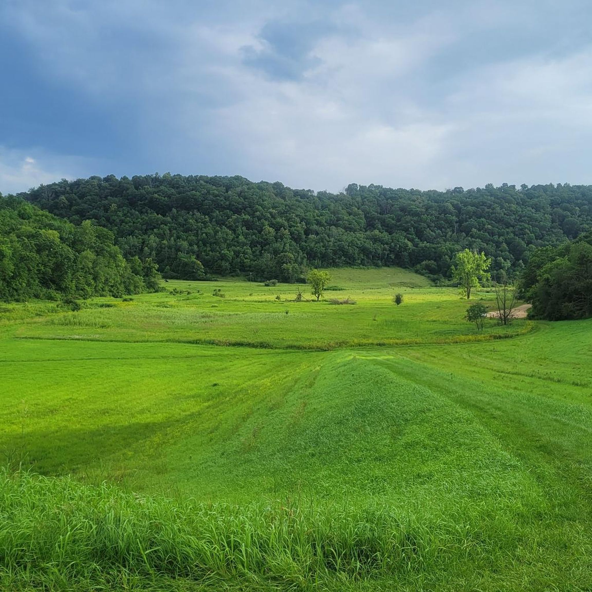
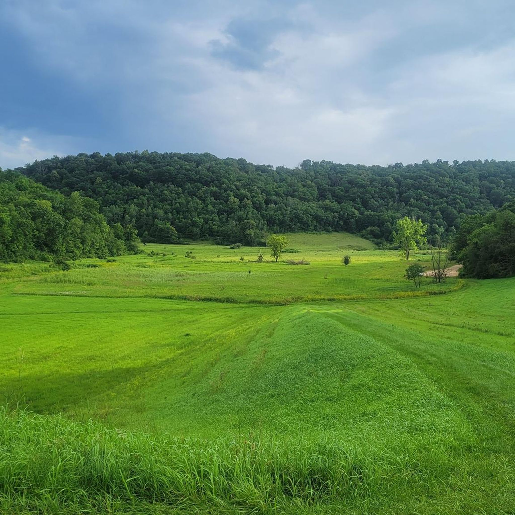
Road cycling in Vernon County, Wisconsin, is characterized by its location within the unglaciated Driftless Area, featuring deeply carved river valleys and rugged landscapes. This topography results in rolling hills, steep ascents, and winding descents, providing varied terrain for cyclists. The region includes river valleys, bluffs, and forested hillsides, with the Mississippi River forming its western boundary and the Kickapoo River winding through the county. These geological features create a challenging and picturesque environment for road cycling.
Best road cycling routes in Vernon County
- The most popular road cycling route is Roadbike loop from Viroqua, a 25.6 miles (41.2 km) trail that takes 1 hour 46 minutes to complete. This moderate route offers views of the surrounding Driftless Area landscape.
- Another top favourite among local road cyclists is 7 Reservoir loop from Ross, a moderate 28.3 miles (45.6 km) path. This route navigates through the region's characteristic rolling hills and valleys.
- Local road cyclists also love the Roadbike loop from Chaseburg, a 14.6 miles (23.4 km) trail leading through the scenic river valleys, often completed in about 1 hour 12 minutes.
- Road cycling in Vernon County is defined by rolling hills, deeply carved river valleys, and forested hillsides. The network offers options for different ability levels, from easy rides to challenging routes with significant elevation gain.
- The routes in Vernon County are rated by the komoot community with an average score of 3.0 stars from a limited number of reviews. More than 40 road cyclists have used komoot to explore Vernon County's varied terrain.
Last updated: July 12, 2026
7
riders
23.4km
01:12
290m
290m
Easy road ride. Great for any fitness level. Mostly well-paved surfaces and easy to ride.
5
riders
20.9km
01:08
230m
230m
Moderate road ride. Great for any fitness level. Some segments of this route may be unpaved and difficult to ride.

Sign up for free
4
riders
41.2km
01:47
320m
320m
Moderate road ride. Good fitness required. Mostly well-paved surfaces and easy to ride.
5
riders
26.0km
01:18
110m
110m
Moderate road ride. Great for any fitness level. Some segments of this route may be unpaved and difficult to ride.
3
riders
36.0km
01:33
280m
280m
Easy road ride. Great for any fitness level. Mostly well-paved surfaces and easy to ride.
3
riders
45.6km
02:07
400m
400m
Moderate road ride. Good fitness required. Mostly well-paved surfaces and easy to ride.
5
riders
83.4km
05:50
730m
730m
Hard road ride. Very good fitness required. Some segments of this route may be unpaved and difficult to ride.
Get access to more routes and recommendations from other explorers.
Sign up for free
Already have an account?
Our route recommendations are based on thousands of hikes, rides, and runs completed by other people on komoot.
Start today with a free account
Your next adventure awaits.
Login or Signup

Tips from the Community

Impressive view from the bridge over the Mississippi, despite Labor Day - holiday - few boats on the Mississippi
0
0
This is the promenade on the Mississippi
0
0
The widely visible landmark of the city of LaCrosse. LaCrosse is twinned with Friedberg (Bavaria).
0
0

The Mississippi is the second-longest river in America (after the Missouri), and runs for around 2,340 miles all the way across the country through New Orleans. The road on bridge has a decent shoulder, and there is also a divided walkway where you can bike separate from traffic.
0
0
The park goes right up to the water's edge, and there are plenty of nice grassy areas to hand out by the river in the shade. There are some paved trails, and sometimes the park will hold events at the band shell or for Riverfest.
0
0

With its rolling hills and diverse terrain, Upper Hixon Forest offers mountain bikers a peaceful wilderness escape right in the city. Miles of paths wind through lush greenery and rocky outlook. Seek out this hidden gem when you crave woodland solitude and scenic vistas while enjoying an exhilarating, rugged ride over the ups and downs of this beautiful landscape.
0
0

This bridge crosses the east channel of the Mississippi River connecting downtown La Crosse to Barron Island. The bridge is actually two bridges, the Cass Street Structure and the Cameron Avenue Structure, together they form The Mississippi River Bridge.
0
0
This bridge crosses the east channel of the Mississippi River connecting downtown La Crosse to Barron Island. The bridge is actually two bridges, the Cass Street Structure and the Cameron Avenue Structure, together they form The Mississippi River Bridge.
0
0
Frequently Asked Questions
What kind of terrain can I expect on road cycling routes in Vernon County?
Vernon County is situated in the unique "Driftless Area," characterized by deeply carved river valleys, rugged landscapes, and forested hillsides. This means road cycling routes feature an abundance of rolling hills, steep ascents, and winding descents, providing a challenging yet picturesque environment. You'll find a mix of pristine pavement and scenic country roads.
Are there road cycling routes suitable for beginners or those looking for an easier ride?
Yes, Vernon County offers options for various fitness levels. While the region is known for its challenging topography, there are 2 routes rated as easy. For example, the Roadbike loop from Chaseburg is an easy 14.6-mile (23.4 km) trail that leads through scenic river valleys.
What are some of the more challenging road cycling routes in Vernon County?
For experienced cyclists seeking a challenge, Vernon County offers routes with significant elevation gain. There is 1 route rated as difficult, and 9 routes are considered moderate, often featuring substantial climbs. The region's unglaciated terrain ensures rewarding ascents with panoramic views, particularly over the Mississippi River and Kickapoo River valleys.
Can I find routes that offer scenic views or pass by interesting landmarks?
Absolutely. Many routes in Vernon County provide breathtaking views, especially over the Mississippi River, which forms the county's western boundary, and the winding Kickapoo River. You can also find routes near points of interest such as the Shady Maple Overlook, offering stunning vistas. The region's unique geology creates distinctive landforms and lush vegetation, making for a visually rich backdrop.
Are there any designated cycling loops in Vernon County?
Yes, Vernon County is known for its charted tours that utilize country and township roads. While not all are listed in the komoot guide, historically popular loops include the 35-mile De Soto Loop, the 33-mile Seneca Loop, and the 39-mile Eastman Loop, which offer immersive experiences in the scenic rural landscape.
What is the best time of year for road cycling in Vernon County?
The spring, summer, and fall months generally offer the best conditions for road cycling in Vernon County. The fall is particularly popular for its vibrant foliage, while spring brings lush greenery. Always check local weather conditions before heading out, as the hilly terrain can be more challenging in adverse weather.
Are there any family-friendly road cycling options in Vernon County?
While many routes feature significant hills, some of the easier routes or sections of longer routes can be suitable for families with older children or those comfortable with some elevation. The low-traffic county roads provide a safer environment for family rides. For example, the Roadbike loop from Holy Trinity-Longfellow is rated as easy and offers a 22.4-mile (36 km) ride.
Where can I find parking for road cycling routes in Vernon County?
Many road cycling routes in Vernon County start from or pass through small towns and rural areas where parking is generally available. For routes like the Roadbike loop from Viroqua, you can typically find parking in or near the starting town. County parks like Sidie Hollow, Jersey Valley, and Esofea/Rentz Memorial Park also offer access to scenic areas and potential parking spots.
What do other road cyclists enjoy most about road cycling in Vernon County?
The komoot community rates road cycling in Vernon County with an average score of 3.0 stars. Cyclists often praise the region's dramatic, unglaciated terrain, which provides challenging climbs and rewarding panoramic views. The low-traffic county roads and the immersion in nature, with deeply carved river valleys and forested hillsides, are frequently highlighted as key attractions.
Are there any attractions or points of interest near the road cycling routes?
Yes, Vernon County offers several attractions that can be combined with your cycling trip. You might encounter historical sites like the Historic Marker at the Battle of Bad Axe Site or the Site of Red Bird’s Village, 1827. Nature enthusiasts can visit the Genoa National Fish Hatchery or enjoy the views from Shady Maple Overlook.
How many road cycling routes are available in Vernon County?
Based on komoot data, there are 12 road cycling routes in Vernon County. These include 2 easy, 9 moderate, and 1 difficult route, offering options for various skill levels and preferences.
Are there any long-distance road cycling routes in Vernon County?
While the region features many moderate-length loops, the longest route currently listed on komoot is the 7 Reservoir loop from Ross, covering 28.3 miles (45.6 km). This route navigates through the characteristic rolling hills and valleys of the area, providing a substantial ride.
Most popular attractions in Vernon County

Get inspired with the komoot mobile app


Didn’t find what you were looking for?
Check out more Road cycling routes throughout Vernon County below and find the perfect route in your destination.
Explore more
Browse the best Road cycling routes in other regions.
