The best MTB trails in Dorado Municipio
4.0
(4)
100
riders
6
rides
Mountain bike trails in Dorado Municipio, located on Puerto Rico's northern coast, traverse a diverse landscape. The region features coastal areas, lush forests, and distinctive karst topography, offering varied terrain for mountain biking. Riders can expect a mix of flat coastal paths, winding forest trails, and sections with significant elevation changes. The natural environment provides a backdrop of golden beaches, rivers, and unique geological formations.
Best mountain bike trails in Dorado Municipio
- The most popular mountain bike trail is Los…
Last updated: August 23, 2026
4.0
(4)
34
riders
7.13km
00:37
70m
70m
Hard mountain bike ride. Great for any fitness level. Advanced riding skills necessary. Some portions of the route may require you to push your bike.
40
riders
48.6km
03:27
300m
300m
Moderate mountain bike ride. Good fitness required. Suitable for all skill levels.

Sign up for free
11
riders
51.9km
02:45
140m
140m
Moderate mountain bike ride. Good fitness required. Suitable for all skill levels.
9
riders
37.8km
01:52
60m
60m
Easy mountain bike ride. Great for any fitness level. Suitable for all skill levels.
6
riders
44.2km
02:26
160m
160m
Moderate mountain bike ride. Good fitness required. Advanced riding skills necessary.
4
riders
46.4km
02:41
460m
460m
Moderate mountain bike ride. Good fitness required. Suitable for all skill levels.
5
riders
59.1km
03:01
180m
190m
Moderate mountain bike ride. Good fitness required. Suitable for all skill levels.
2
riders
39.8km
02:07
190m
190m
Moderate mountain bike ride. Good fitness required. Suitable for all skill levels.
4
riders
Easy mountain bike ride. Great for any fitness level. Suitable for all skill levels.
2
riders
57.7km
03:30
670m
670m
Moderate mountain bike ride. Good fitness required. Suitable for all skill levels.
Our route recommendations are based on thousands of hikes, rides, and runs completed by other people on komoot.
Start today with a free account
Your next adventure awaits.
Login or Signup


Tips from the Community

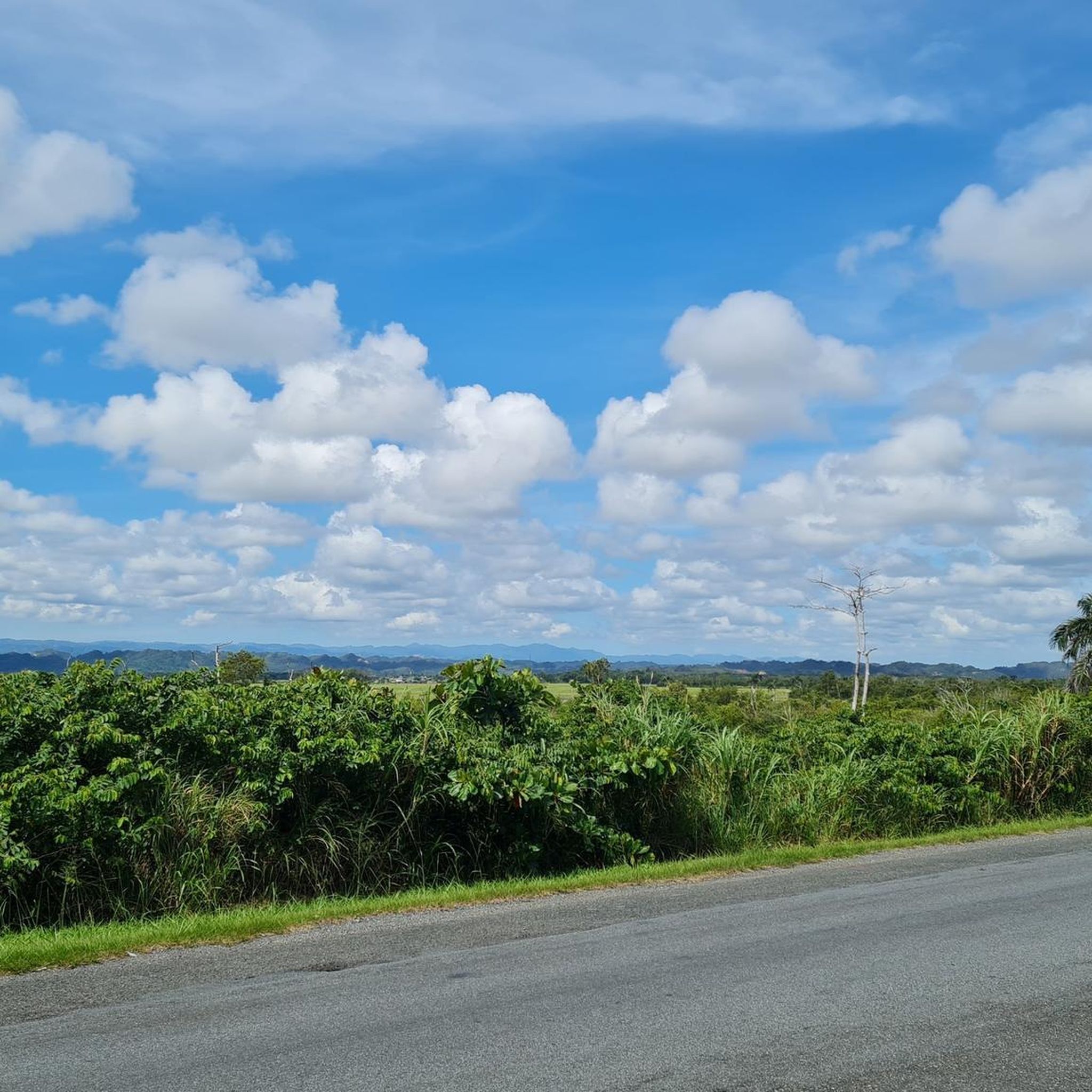
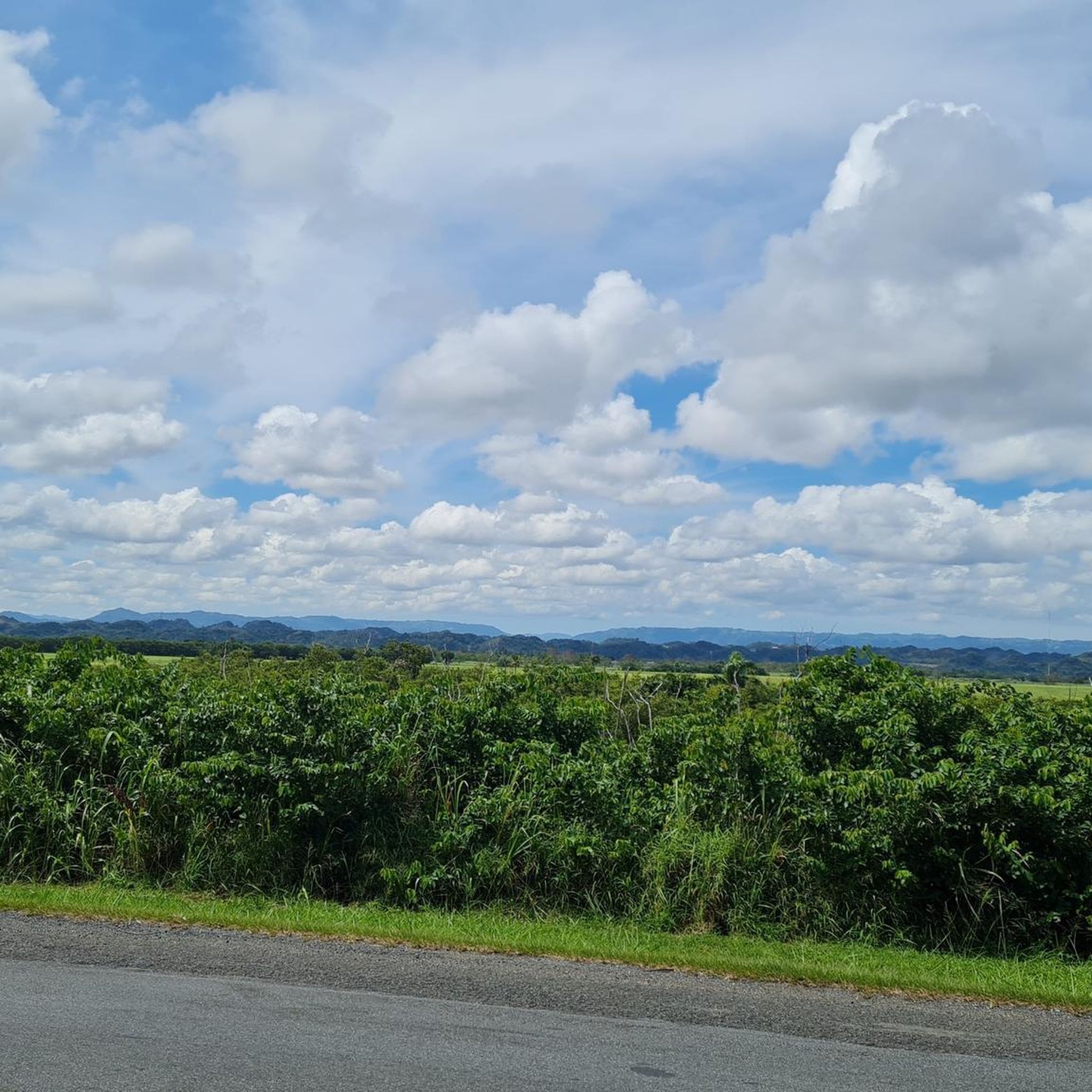
You can road all the way from Cataño county or you can drive until Punta Salinas beach and ride from there. If you came from west, you can drive trough Dorado county. The reference is allways the 165 road number. This sections is closed on Sunday mornings to cars and open exclusive to bicycle riders or pedestrians. On vacations days, the county dons't closes to cars on sundays. You can drive this road any day, even the hurricane one, but unless your own risk.
0
0

There are miles of scenic bike trails in the reserve, many of which are grassy doubletrack. The hacienda is also an important historic site with an old sugar mill, steam engine, and tours. You can explore some of the ruins and old plantation lands on your own terms via bike.
0
0
You can walk at any time, but it is much better to arrive before 9 am.
1
0


Area to practice recreational fishing, kayaking or MTB. It has gazebos for lunch, but they are pretty unworthy so use them at your own risk.
0
0

The lagoon covers an area of approximately 2.43 km2 and contains a total volume of water of 708 million gallons. It is made up of two segments: Laguna Tortuguero, which includes the northeastern swamp known as Cabo Caribe, and Laguna Rica. Its prevailing depth is between four to five feet. The most important hydrological consideration is the relationship between the Lagoon and its main water sources; groundwater from aquifers and water that runs through surface river discharges during rains.
0
0
Walk that runs along the coastline. It is in terrible condition for much of the journey. There is a lot of glass on the path and on the planked part there are several sections that are on the verge of collapse. The road runs through part of the Piñones State Forest and passes through several scenic spots, including the old viewpoint that Hurricane María took away.
0
0
Frequently Asked Questions
What types of terrain can I expect on mountain bike trails in Dorado Municipio?
Dorado Municipio offers a diverse landscape for mountain biking, including coastal areas, lush forests, and distinctive karst topography. You'll find a mix of flat coastal paths, winding forest trails, and sections with significant elevation changes, providing varied terrain for different skill levels.
Are there mountain bike trails suitable for beginners or families in Dorado Municipio?
Yes, Dorado Municipio has trails suitable for various skill levels, including options for beginners and families. The network offers routes from easy to moderate difficulty. For example, the Gran Parque Agroturístico Ecológico y Recreativo El Dorado features bicycle trails suitable for families, with roads closed to traffic in the back area for safety.
What are some moderate mountain bike trails in Dorado Municipio?
For moderate rides, consider the La Esperanza – Cueva Las Golondrinas loop from Vega Baja, which is 31.9 miles long and takes about 3 hours 39 minutes. Another great option is the Balneario Cerro Gordo loop from Espinosa, a 24.7-mile route with moderate elevation gain.
Are there any long-distance mountain bike routes in the area?
Yes, Dorado Municipio offers several longer routes. The Los Tobos Beach loop from Vega Baja is a substantial 35.3-mile trail with considerable elevation gain, typically taking around 3 hours 27 minutes. Another option is the Ciudad amurallada – Condado Beach loop from Isleta de San Juan, which covers 32.9 miles.
What natural attractions or landmarks can I see while mountain biking in Dorado Municipio?
Dorado's trails often pass by stunning natural features. You can encounter golden beaches like Playa Sardinera Manuel "Nolo" Morales and Punta Fraile, or explore areas with unique karst topography. The Ojo del Buey (Ox's Eye) rock formation near the La Plata River mouth offers panoramic coastal views and is a significant natural attraction.
Are there any mountain bike trails that are circular routes?
Many of the popular mountain bike routes in Dorado Municipio are loops. Examples include the La Esperanza – Cueva Las Golondrinas loop from Vega Baja, the Vega Baja Beach loop from Plantation Water Park, and the Balneario Cerro Gordo loop from Espinosa.
What do other mountain bikers enjoy the most about mountain biking in Dorado Municipio?
The mountain bike routes in Dorado Municipio are highly rated by the komoot community, with an average score of 5.0 stars from 2 reviews. Riders often praise the varied terrain, which includes coastal paths, tropical forests, and unique karst landscapes, offering a diverse and engaging experience.
Are there any easy mountain bike trails in Dorado Municipio?
Yes, there are easier options available. The Toa Baja Bay loop from Levittown is an easy 17.8-mile route, typically completed in about 1 hour 25 minutes, making it a good choice for a more relaxed ride.
What is the Cerro Gordo Trail like for mountain biking?
The Cerro Gordo Trail, located in Dorado/Vega Alta, is an intermediate-level singletrack spanning 4 miles. It's known for strong ocean breezes throughout much of the ride and offers beautiful scenery, making it a popular choice for those seeking a more dedicated trail experience.
What is the best time of year to go mountain biking in Dorado Municipio?
Dorado Municipio generally offers good mountain biking conditions year-round due to its tropical climate. However, it's always advisable to check local weather forecasts, especially during the hurricane season (June to November), and to be prepared for warm and humid conditions.
Are there any mountain bike trails that offer ocean views?
Absolutely. Many trails in Dorado Municipio hug the coastline, providing stunning ocean views. Routes like the Vega Baja Beach loop from Plantation Water Park and the Los Tobos Beach loop from Vega Baja are excellent choices for experiencing coastal scenery and ocean breezes.
Most popular routes in Dorado Municipio

Get inspired with the komoot mobile app


Explore more
Browse the best MTB trails in other regions.
