The best road cycling routes around Grinnsjön
42
riders
4
rides
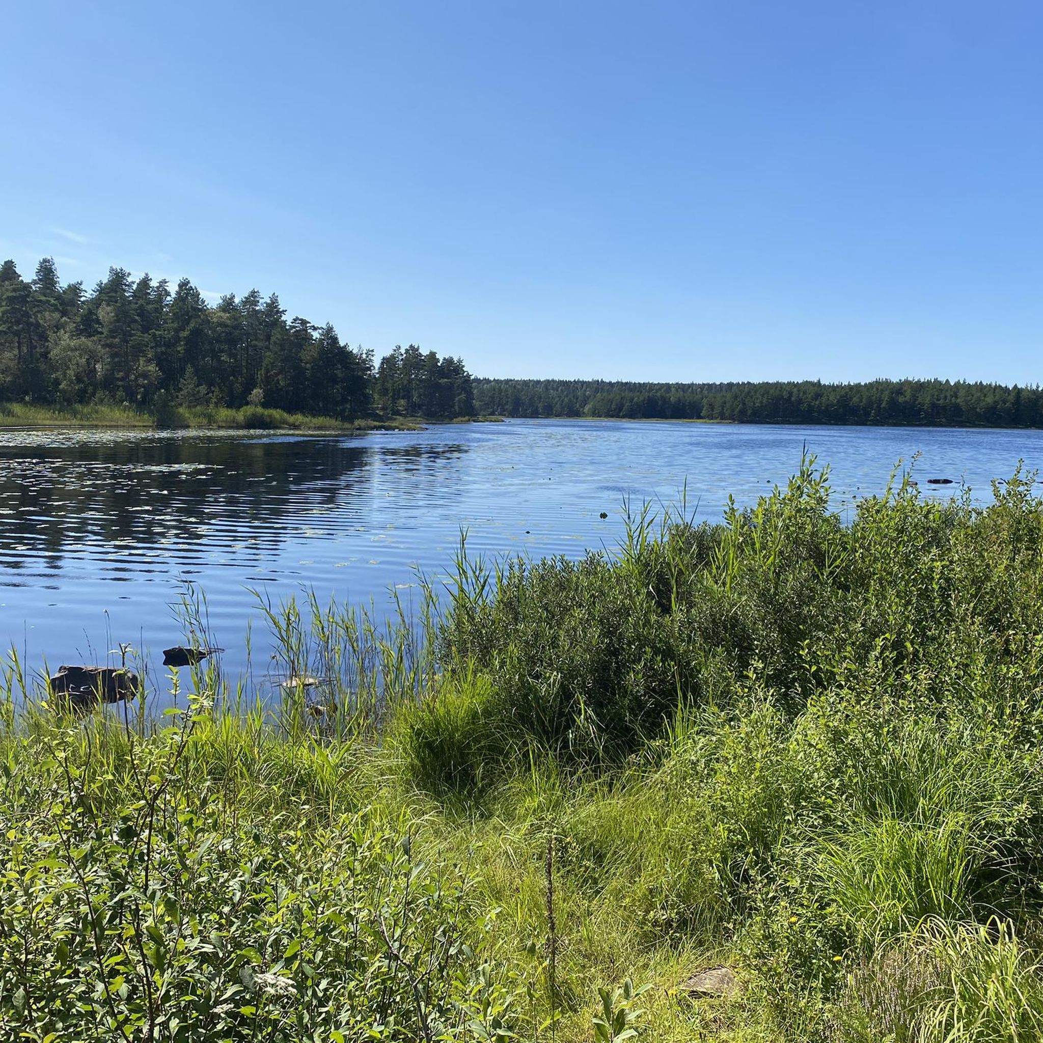
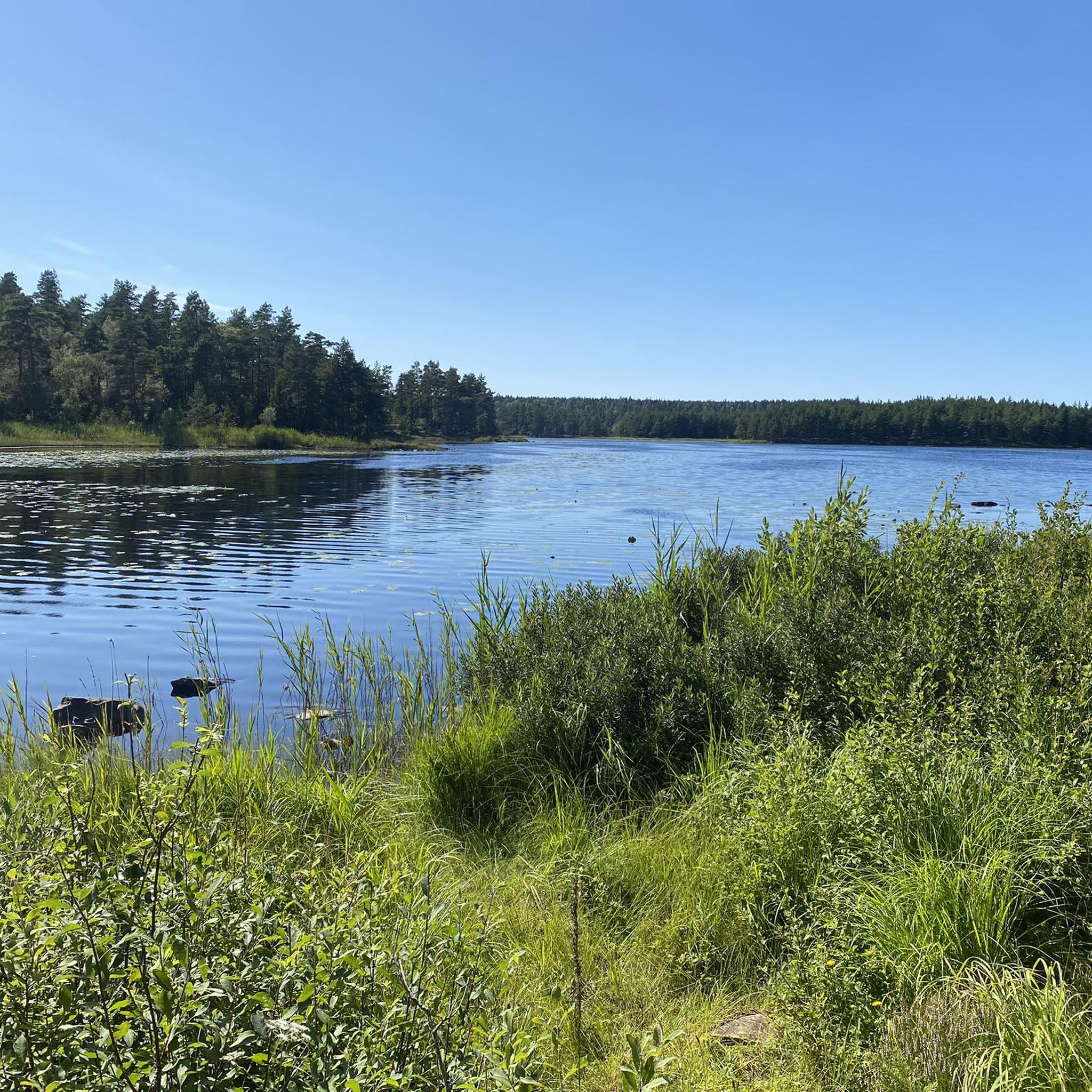
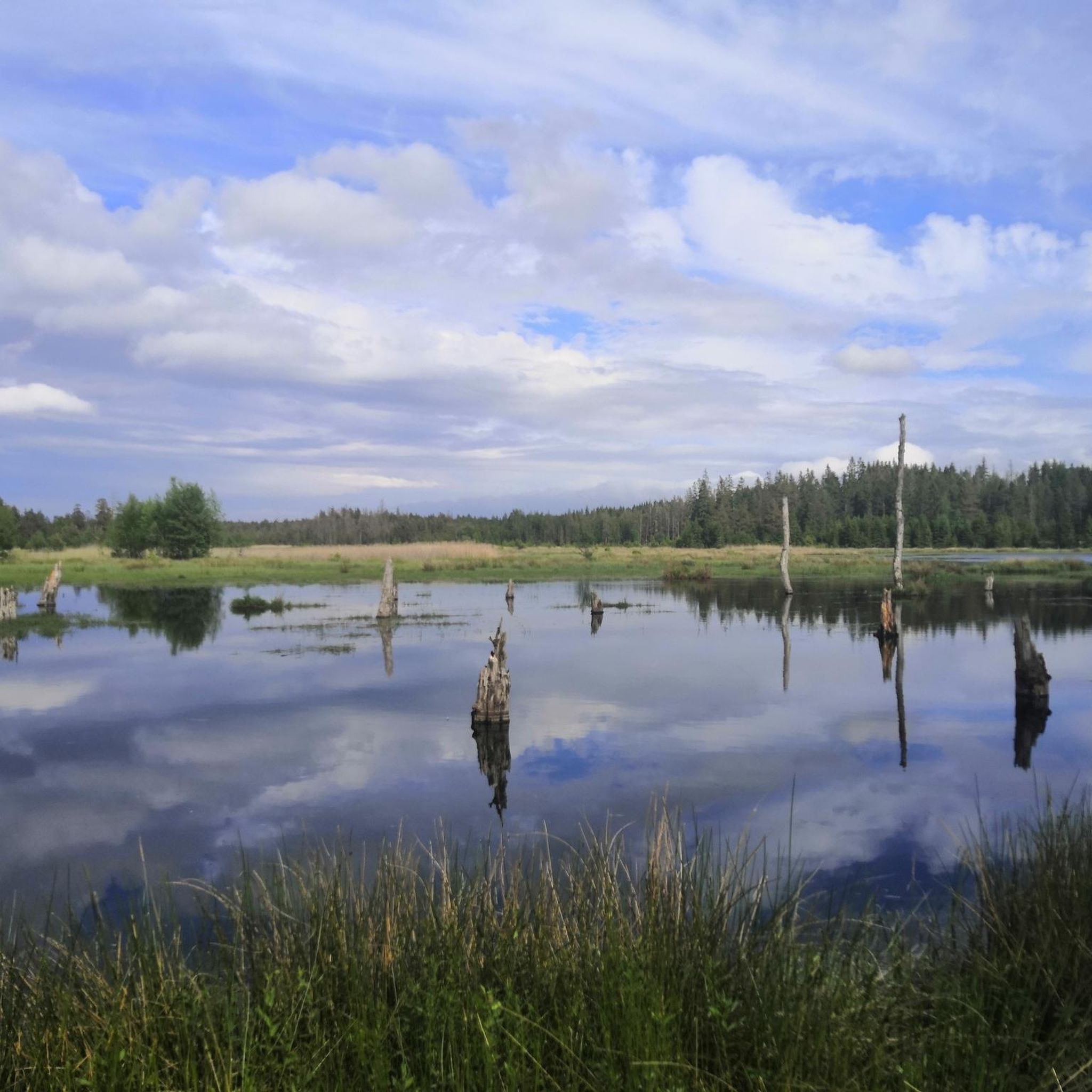
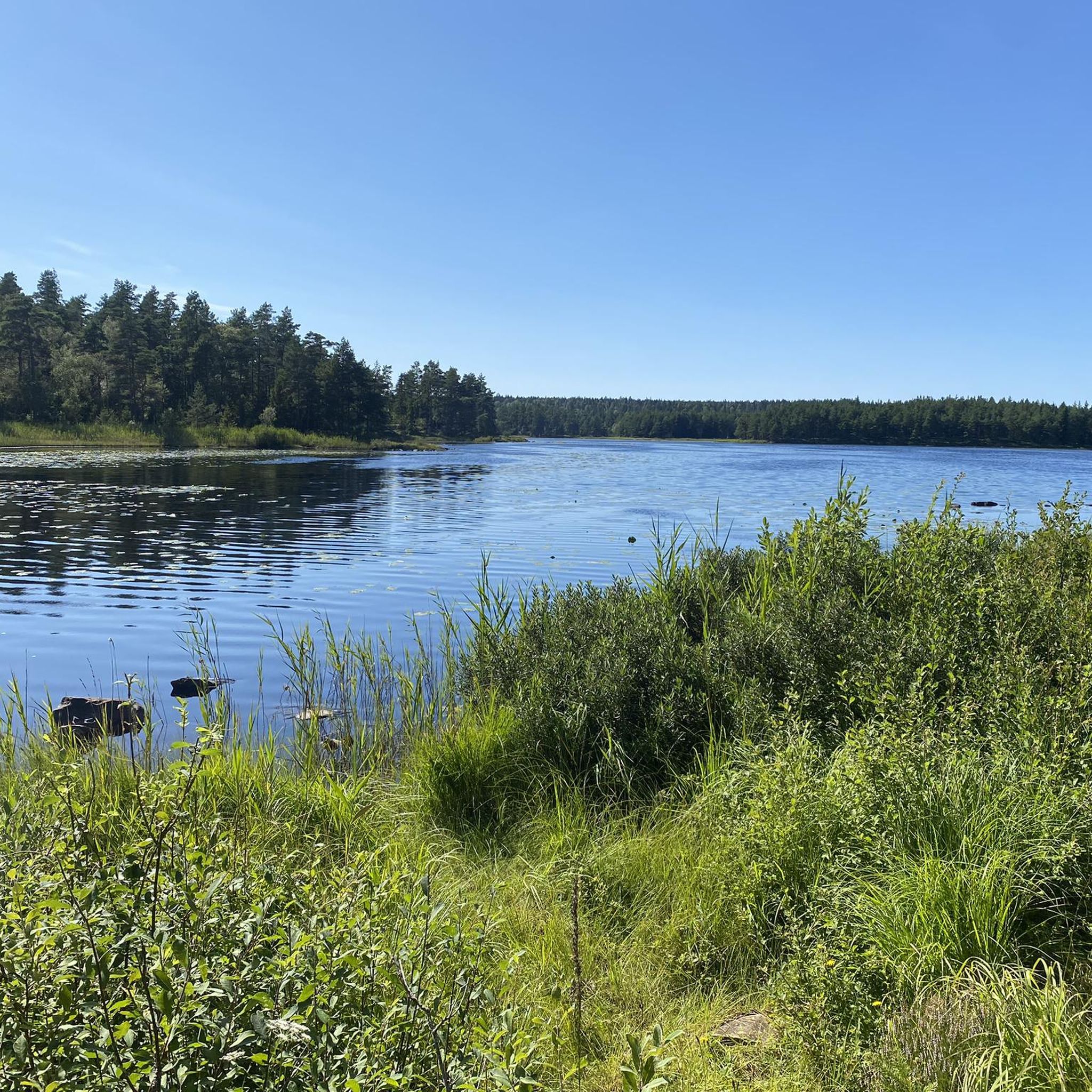
Road cycling around Grinnsjön, located in Västra Götaland County, Sweden, offers routes through a landscape characterized by forests, marshland, and interconnected lakes. The area sits approximately 98 meters above sea level, providing varied terrain for road cyclists. While some routes may include main gravel roads, many options exist on paved surfaces, allowing exploration of the region's natural features. The broader Halleberg and Hunneberg area, known for its ecological park, provides a unique geological backdrop to the cycling experience.
Best road…
Last updated: July 9, 2026
6
riders
84.5km
04:15
540m
540m
Moderate road ride. Good fitness required. Some segments of this route may be unpaved and difficult to ride.
5
riders
Moderate road ride. Good fitness required. Some segments of this route may be unpaved and difficult to ride.

Sign up for free
1
riders
26.4km
01:05
110m
110m
Easy road ride. Great for any fitness level. Mostly well-paved surfaces and easy to ride.
6
riders
46.8km
02:13
170m
170m
Moderate road ride. Good fitness required. Some segments of this route may be unpaved and difficult to ride.
7
riders
33.7km
01:48
150m
150m
Moderate road ride. Great for any fitness level. Some segments of this route may be unpaved and difficult to ride.
Our route recommendations are based on thousands of hikes, rides, and runs completed by other people on komoot.
Start today with a free account
Your next adventure awaits.
Login or Signup
Tips from the Community

On a weekend in mid-July, the "Fallens dagar Festival" takes place here annually. During this oldest city festival, the dam sluices are opened for three consecutive days.
0
0

The mosaic steps by the Trollhätte Canal are really eye-catching and all colourful. They’re a nice little touch where you can stop, have a look around, and enjoy the view by the water.
0
0
Trollhätte Canal Park is a nice spot to just wander about, watch the boats go along the locks, and take in the scenery. It’s got a really chilled vibe, perfect for a casual stroll or just hanging out by the water.
0
0

This old marina in Vänersborg looks out onto the vast Vänern lake, the largest in not only Sweden but also the European Union. A stroll along its shore here is peaceful and rewarding, taking you along the very south west tip of the lake.
0
0

The Trollhättan Lift Bridge is a railway bridge with an additional lane for cyclists and pedestrians. The bridge was completed in 2001. It is approximately 40 meters high and has a span of 49.5 meters. The clearance for ships is 27 meters.
1
0

Picturesque church situated on the water
3
0
Impressive technical structure. Trains have to stop when a ship passes under the bridge over the canal.
3
0

Frequently Asked Questions
What is the general terrain like for road cycling around Grinnsjön?
The Grinnsjön region offers a varied landscape for road cycling, characterized by a mix of forests, marshland, and interconnected lakes. While many routes are on paved surfaces, some may include well-maintained main gravel roads. The area sits approximately 98 meters above sea level, with gentle hills and an overall elevation gain that makes it suitable for various fitness levels.
Are there road cycling routes suitable for beginners or less experienced cyclists?
Yes, there are routes suitable for beginners. For instance, the Öxneredssjön loop from Vargön is an easy 26.4 km (16.4 miles) trail that takes about 1 hour 7 minutes to complete, leading through lake-dotted landscapes with manageable elevation changes.
What natural features or landmarks can I see while road cycling around Grinnsjön?
Road cyclists can enjoy serene lakes like Grinnsjön, Bergsjön, and Öxneredssjön, as well as diverse forests and marshlands. The broader Halleberg and Hunneberg area provides a unique geological backdrop. You might also encounter historical sites like the old croft Grinnsjö-torpet, beautifully situated with views over flower meadows, offering a glimpse into local history.
Can I expect to see wildlife on the road cycling routes?
The region, particularly the broader Halleberg and Hunneberg area, is known for its rich wildlife. Cyclists might spot animals such as moose, beaver, and various bird species, especially when cycling through the forested and marshy areas that characterize the landscape around Grinnsjön.
Are there parking facilities available for cyclists near the routes?
While specific parking facilities for each route are not detailed, starting points like Vargön and areas around Grinnsjön generally offer parking options. It is advisable to check local parking availability near your chosen starting point before your ride.
How accessible are the road cycling routes around Grinnsjön by public transport?
The Grinnsjön area is located within Vänersborg Municipality. Starting points for some routes, such as Vargön, are typically accessible by public transport, offering connections to larger towns. For routes starting from specific locations like Brinkevägen or Restad Gård, public transport options may vary, so checking local bus or train schedules is recommended.
When is the best time of year to go road cycling around Grinnsjön?
The best time for road cycling around Grinnsjön is generally during the warmer months, from spring to early autumn (May to September), when the weather is mild and the natural scenery is at its most vibrant. During these seasons, you'll experience comfortable temperatures and lush landscapes.
Is road cycling possible during winter in Grinnsjön?
While road cycling is generally more popular in warmer months, it might be possible during winter depending on snow and ice conditions. However, many routes could be challenging due to slippery surfaces or snow cover. It's best to check local weather and road conditions if planning a winter ride.
Are there any family-friendly road cycling routes in the Grinnsjön area?
The Grinnsjön area offers routes with varying difficulty levels, including easier options that could be suitable for families. The Öxneredssjön loop from Vargön, for example, is an easy route that could be a good choice for a family outing, offering a pleasant ride through scenic landscapes.
What kind of accommodation or dining options are available for cyclists near Grinnsjön?
The Grinnsjön area, being part of Vänersborg Municipality, offers various accommodation options ranging from hotels to guesthouses in nearby towns like Vargön or Trollhättan. You can also find cafes and pubs in these areas to refuel after your ride. Specific amenities directly on the routes may be limited, so planning stops in advance is advisable.
How many road cycling routes are available around Grinnsjön?
There are several road cycling routes available around Grinnsjön. This guide highlights 5 distinct routes, offering a range of distances and difficulties to explore the region's natural beauty.
What is a popular moderate road cycling route in the Grinnsjön area?
A popular moderate route is the Lillån loop from Brinkevägen. This 46.7 km (29.0 miles) path features a mix of forest and open areas with an elevation gain of 166 meters, typically taking around 2 hours 7 minutes to complete.
Are there any longer road cycling routes for more experienced cyclists?
Yes, for those seeking a longer ride, the Trollhättefallen – Fredriksjö loop from Vargön is a moderate 83.5 km (51.9 miles) route. It involves a significant elevation gain of over 500 meters and typically takes around 4 hours 9 minutes, navigating through the scenic surroundings of Västra Götaland.
Most popular routes around Grinnsjön

Get inspired with the komoot mobile app


Explore more
Browse the best Road cycling routes in other regions.
