The best road cycling routes in Miami-Dade County
4.7
(135)
6,574
riders
100
rides
Road cycling in Miami-Dade County offers diverse landscapes, characterized by extensive coastal routes, lush greenways, and unique natural features. The region features mostly flat terrain with minimal elevation changes, making it accessible for various fitness levels. Cyclists can explore routes along Biscayne Bay and the Atlantic Ocean, as well as through the subtropical environment of the Everglades. The area's biodiversity includes savanna-like Pine Rocklands and diverse fauna.
Best road cycling routes in Miami-Dade County
- The most popular road cycling route…
Last updated: October 10, 2026
5.0
(1)
148
riders
31.1km
01:16
10m
10m
Embark on an easy road cycling adventure from Miccosukee Indian Village to the Shark Valley Observation Tower. This flat route covers 19.3 miles (31.1 km) with a minimal elevation gain…
5.0
(5)
723
riders
Moderate road ride. Good fitness required. Mostly well-paved surfaces and easy to ride.

5.0
(8)
553
riders
Easy road ride. Great for any fitness level. Mostly well-paved surfaces and easy to ride.
4.7
(6)
491
riders
Moderate road ride. Good fitness required. Some segments of this route may be unpaved and difficult to ride.
4.5
(2)
370
riders
Moderate road ride. Good fitness required. Some segments of this route may be unpaved and difficult to ride.
4.5
(4)
205
riders
57.7km
02:34
60m
60m
Moderate road ride. Good fitness required. Some segments of this route may be unpaved and difficult to ride.
5.0
(1)
178
riders
Moderate road ride. Good fitness required. Some segments of this route may be unpaved and difficult to ride.
166
riders
Moderate road ride. Good fitness required. Some segments of this route may be unpaved and difficult to ride.
5.0
(3)
159
riders
62.1km
02:29
70m
70m
Moderate road ride. Good fitness required. Mostly well-paved surfaces and easy to ride.
5.0
(2)
415
riders
Easy road ride. Great for any fitness level. Mostly well-paved surfaces and easy to ride.
Get access to more routes and recommendations from other explorers.
Already have an account?
Our route recommendations are based on thousands of hikes, rides, and runs completed by other people on komoot.
Start today with a free account
Your next adventure awaits.
Popular around Miami-Dade County
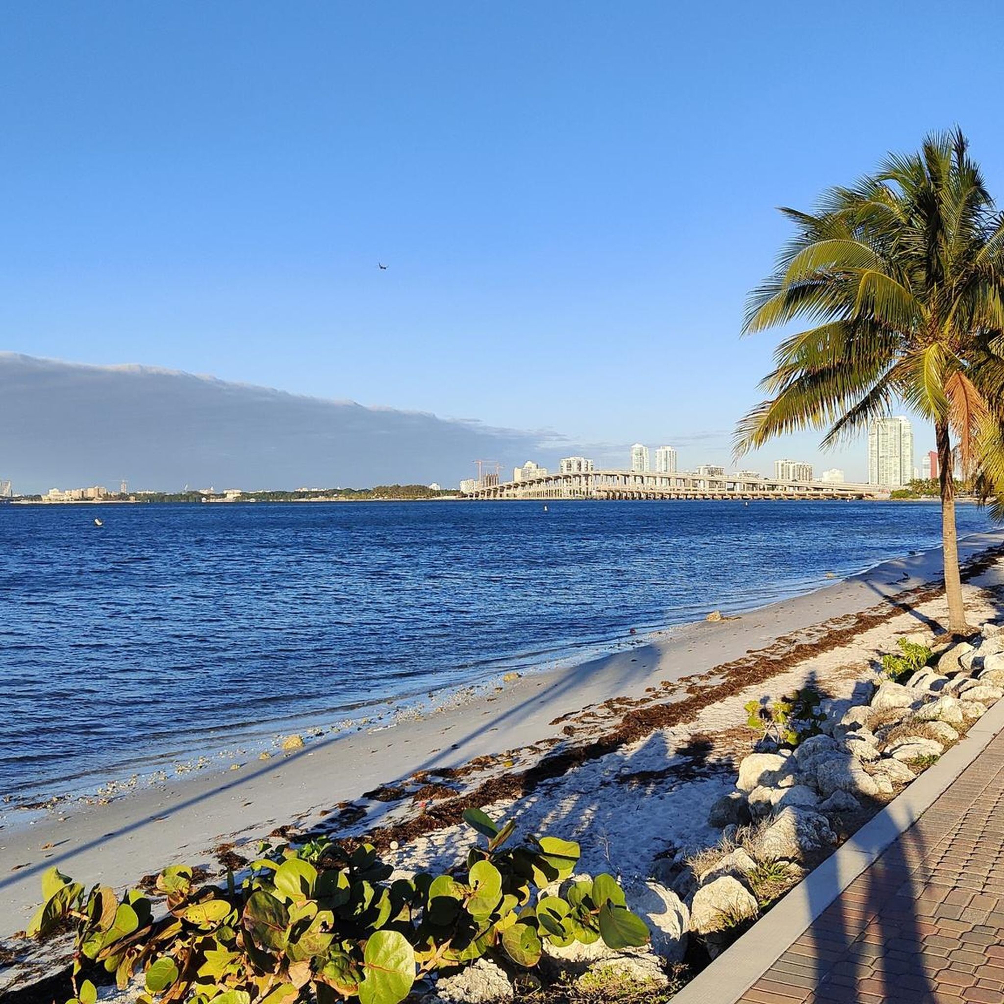
Road Cycling Routes around Miami
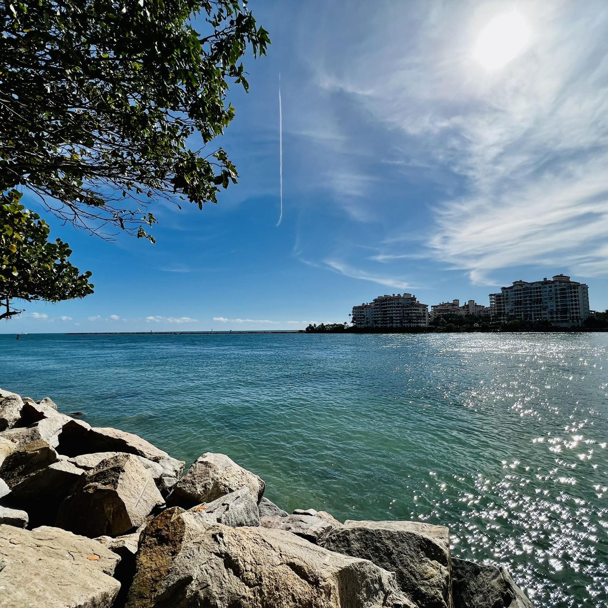
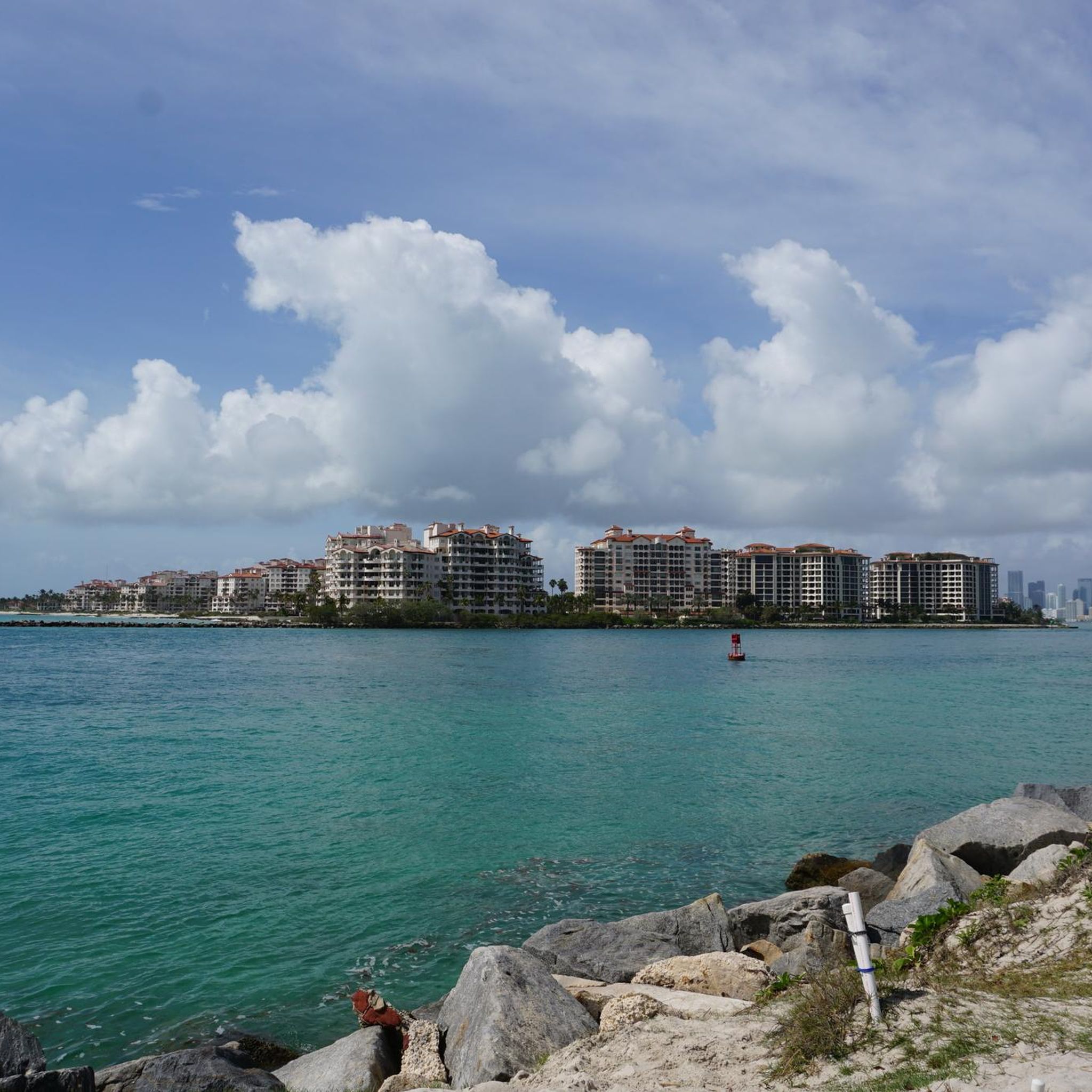
Road Cycling Routes around Fisher Island
Road Cycling Routes around El Portal
Road Cycling Routes around Pinewood
Road Cycling Routes around West Little River
Road Cycling Routes around Key Biscayne
Road Cycling Routes around Gladeview

Road Cycling Routes around North Miami Beach
Road Cycling Routes around Brownsville

Road Cycling Routes around Indian Creek
Other adventures in Miami-Dade County

Tips from the Community

Pay attention to posted restrictions (i.e. electric scooters may not be allowed).
0
0
This outdoor gym is located in the heart of Ocean Drive. Great people watching!
0
0


The Bayside Market in Miami is highly recommended; the setting is beautiful and there are many small shops. Bayside Market offers a stunning view of the ocean and harbor.
3
0


You may've seen this park in movies like Father of the Bride and 2 Fast 2 Furious. For more everyday purposes it includes a playground, restrooms and paved multi-use paths, plus outdoor lockers and fitness machines.
2
0

South Pointe Park Pier gives you the full combo: skyline, ocean, and pier views with laid-back Miami vibes. It’s a great spot to pause, snap a pic, and watch fishing lines cast out—especially around sunset—before rolling on with your ride.
2
0
Hobie Beach, also known as Windsurfer Beach, is a fun stop if you’re riding along the Rickenbacker Causeway. It’s a popular spot for windsurfers and also one of Miami’s favorite dog-friendly beaches. The shallow water makes it safe for dogs to splash around, and there’s always something to watch—from kite sails to people enjoying the breeze.
0
0
Frequently Asked Questions
How many road cycling routes are available in Miami-Dade County?
There are nearly 100 road cycling routes available in Miami-Dade County, catering to various skill levels. Over 60 of these are rated as easy, making the region accessible for many cyclists.
What do other road cyclists enjoy most about cycling in Miami-Dade County?
The komoot community highly rates road cycling in Miami-Dade County, with an average score of 4.6 stars from over 110 reviews. Cyclists particularly appreciate the diverse landscapes, including scenic coastal routes, lush greenways, and unique natural features like the Everglades, all on mostly flat terrain.
Which road cycling routes are best for beginners or families?
For an easy ride, consider the Miccosukee Indian Village to Shark Valley Observation Tower route, which is 19.3 miles and offers a unique experience through the Everglades. Another easy option is the Miami Marine Stadium – William M. Powell Bridge loop from Financial District, a 14.3-mile ride with scenic views.
Are there any long-distance road cycling routes in Miami-Dade County?
Yes, for longer rides, the Haulover Beach – 17th Street Causeway Bridge loop from Bayfront Park covers over 66 miles. Another substantial option is the Old Cutler Trail – Black Creek loop from Adrienne Arsht Center, which is 46.4 miles and takes you through lush greenways.
What scenic viewpoints or attractions can I see along the road cycling routes?
Many routes offer stunning views. The Biscayne Bay Viewpoint – William M. Powell Bridge loop from Adrienne Arsht Center provides vistas of Biscayne Bay. Along the Old Cutler Trail, you can pass by attractions like Matheson Hammock Park and Fairchild Tropical Garden. The Commodore Trail takes you past historic sites such as Vizcaya Museum and The Barnacle Historic State Park. You can also find the Biscayne Bay Viewpoint and the Miami Marine Stadium along various routes.
Are there road cycling routes that form a loop?
Many routes in Miami-Dade County are designed as loops. Examples include the William M. Powell Bridge – Brickell Avenue Drawbridge loop from Park View Island, which offers views of the Miami skyline, and the Miami Marine Stadium – William M. Powell Bridge loop from University, an easy 23.7-mile option.
Where can I find parking for popular road cycling trails?
Parking is generally available at various access points for popular trails. For instance, the Rickenbacker Trail has parking along the Rickenbacker Causeway. Trails like the Old Cutler Trail and Black Creek Trail often have parking facilities at connecting parks. For specific routes, it's advisable to check the starting point details on komoot.
Is public transport accessible to road cycling trails in Miami-Dade County?
Yes, Miami-Dade County's public transport system, including Metrorail and Metrobus, can provide access to several cycling trails. The Underline, for example, is transforming land beneath the Metrorail into a linear park with biking paths, making it highly accessible by public transport. Many routes are also near urban centers with bus stops.
Are there any dog-friendly road cycling routes?
While many parks and trails have specific rules regarding pets, paved multi-use trails are generally more accommodating for leashed dogs. It's always best to check local regulations for each specific trail or park you plan to visit, as rules can vary. For example, some parts of the Miami Beach Boardwalk might have restrictions.
What is the best time of year for road cycling in Miami-Dade County?
The best time for road cycling in Miami-Dade County is typically during the cooler, drier months from late fall to spring (November to April). Temperatures are more moderate, and humidity is lower, making for more comfortable rides. Summer months can be very hot and humid, with a higher chance of rain.
Are there any less crowded road cycling routes or hidden gems?
While popular routes like the Rickenbacker Trail can get busy, exploring sections of the Black Creek Trail or the Biscayne Trail during off-peak hours might offer a quieter experience. The longer 75-mile out-and-back Park Road within Everglades National Park also provides a more secluded ride through untouched wilderness, though it's a significant distance.
Can I find cafes or amenities near the road cycling routes?
Yes, many road cycling routes in Miami-Dade County pass through or near urban areas and parks where cafes, restaurants, and other amenities are readily available. The Rickenbacker Causeway, Old Cutler Trail, and Miami Beach Boardwalk areas, in particular, offer numerous options for refreshments and breaks.
Most popular routes in Miami-Dade County
Most popular attractions in Miami-Dade County

Get inspired with the komoot mobile app


Didn’t find what you were looking for?
Check out more Road cycling routes throughout Miami-Dade County below and find the perfect route in your destination.
Explore more
Browse the best Road cycling routes in other regions.
