The best road cycling routes in Honolulu County
4.6
(33)
2,147
riders
79
rides
Road cycling in Honolulu County offers a diverse range of terrain across the island of Oahu. The region features extensive coastal routes with ocean views, alongside challenging climbs through volcanic formations and lush rainforests. Cyclists can navigate urban areas, explore protected natural landscapes, and encounter varying elevation profiles.
Best road cycling routes in Honolulu County
- The most popular road cycling route is Makapu‘u Lookout via McCully loop, a 32.5 miles (52.3 km) trail that takes 2 hours 16 minutes to complete, offering coastal views and a historic lighthouse.
- Another top favourite among local road cyclists is Waikiki to Kailua loop, a difficult 60.1 miles (96.8 km) path. This route provides diverse landscapes, combining urban and coastal scenery.
- Local road cyclists also love the Pālolo via Tantalus Drive loop, a 27.9 miles (44.9 km) trail leading through dense rainforest and offering challenging climbs, often completed in about 2 hours 42 minutes.
- Road cycling in Honolulu County is defined by coastal paths, volcanic formations, and lush rainforests. The network offers options for different ability levels, from easy flat rides to challenging ascents.
- The routes in Honolulu County are highly rated by the komoot community with an average score of 4.4 stars from over 30 reviews. More than 1,800 road cyclists have used komoot to explore Honolulu County's varied terrain.
Last updated: October 11, 2026
4.8
(4)
231
riders
52.3km
02:17
390m
390m
Embark on a moderate road cycling adventure along the Makapu‘u Lookout via McCully loop, a 32.5 miles (52.3 km) route that includes a significant 1284 feet (391 metres) of elevation gain. This ride offers a dynamic experience, guiding you past the distinctive Koko Head and Koko Crater, with the historic red-roofed Makapu‘u Lighthouse serving as a prominent visual landmark. You can expect to complete this loop in about 2 hours and 16 minutes, enjoying the open road and coastal breezes.
To begin your ride, you'll find the starting point conveniently accessible, making it easy to get on your bike. Parking is generally available in the area if you're driving to the trailhead. While the route is mostly paved and smooth, it does require a good level of fitness to tackle the elevation changes comfortably. Plan your visit for clear days to fully appreciate the expansive ocean views.
This route stands out for its unique position within the Kaiwi State Scenic Shoreline, offering more than just a workout. As you cycle, keep an eye out for the chance to spot migrating humpback whales during the winter months, adding a special wildlife element to your journey. On exceptionally clear days, you might even catch glimpses of the distant islands of Moloka‘i and Lana‘i across the water, highlighting the trail's scenic grandeur.
164
riders
96.8km
05:05
780m
780m
The Waikiki to Kailua loop is a difficult racebike route that takes you on a challenging journey across O'ahu's diverse landscapes. You will cover 60.1 miles (96.8 km) and ascend 2572 feet (784 metres) in elevation, typically taking 5 hours and 5 minutes to complete. This ride transitions from urban settings to breezy coastal paths, offering stunning ocean views and lush Hawaiian scenery, especially as you pass notable viewpoints like Makapu'u Lookout.
Before you set out on this difficult racebike loop, be prepared for varied conditions. Some parts of the route might be unpaved, making them challenging to ride and possibly requiring you to push your bike for short distances. This adds to the overall difficulty, so plan your gear and fitness level accordingly. Consider starting early in the day to make the most of the cooler temperatures and avoid peak traffic. Always check local conditions and weather forecasts before your ride.
This route provides a comprehensive O'ahu cycling experience, showcasing the island's unique blend of natural beauty and coastal charm. It is a popular choice for experienced cyclists looking for a substantial workout and a chance to explore the island beyond the immediate city limits. The loop connects two distinct areas, offering a dynamic perspective on O'ahu's geography and culture. You will encounter a mix of terrain that highlights the island's varied environment.

32
riders
33.7km
01:18
110m
110m
Embark on the Kaena Point via Walalua loop, an easy road cycling route that stretches 20.9 miles (33.7 km) with a modest 349 feet (106 metres) of elevation gain, typically completed in 1 hour and 17 minutes. This route takes you to the remote westernmost tip of O‘ahu, offering a unique mix of paved and unpaved sections. You will ride with the Waianae Mountain Range on one side and the Pacific Ocean on the other, passing boulder beaches, tidal pools, and coastal plains with sand dunes as you approach Kaena Point itself.
Be prepared for an entirely exposed ride with no shade, so bring plenty of water, especially on warm days. Parking is available near the trailheads from the Waialua side. While listed for racebike, the unpaved sections can be challenging, requiring you to dismount and carry your bike over rocky or sandy parts; a mountain or gravel bike is often more suitable for this terrain.
This journey to the westernmost point of O‘ahu offers more than just a ride; it leads you through a significant wildlife sanctuary. Keep an eye out for diverse coastal flora and fauna. During winter months, you might even spot whales offshore, adding to the natural beauty of this unique coastal environment.
24
riders
28.8km
01:10
160m
160m
If you're looking for a road cycling route that transitions into a wild, remote adventure, the Farrington Highway to Kaʻena Point State Park offers just that. This 17.9-mile (28.8 km) journey, with a gentle 511 feet (156 metres) of elevation gain, takes about 1 hour and 10 minutes of riding, starting on smooth pavement before turning into a rugged, unpaved path. You'll ride past golden beaches like Yokohama Bay, with the Pacific Ocean on one side and the Waiʻanae Mountains on the other, culminating at the ecologically significant Kaʻena Point. The official difficulty is easy, but be prepared for challenging off-road conditions if you venture past the paved section.
Planning your ride requires a bit of foresight. While the initial stretch of Farrington Highway is perfect for road bikes, the trail inside Kaʻena Point State Park is rough dirt, gravel, and sand, making it better suited for mountain or gravel bikes. There's virtually no shade along the entire route, so pack ample water and sun protection. The remote nature of Kaʻena Point means no motorized vehicles are allowed past the paved road, ensuring a peaceful experience, but also highlighting the need to be self-sufficient.
This route leads to Kaʻena Point, the westernmost tip of Oʻahu, a protected natural area reserve. It's a fantastic spot for wildlife viewing, where you might see Laysan Albatrosses and other nesting seabirds, or even Hawaiian monk seals resting on the beaches. The trail also features unique natural landmarks like the Heart-Shaped Rock Hole, adding to the sense of discovery on this distinctive ride.
5.0
(1)
11
riders
31.6km
01:27
310m
310m
Embark on the Hoʻomaluhia Botanical Gardens via Pu‘uhalo loop, a moderate road cycling route spanning 19.6 miles (31.6 km) with an elevation gain of 1012 feet (309 metres). You can expect to complete this ride in about 1 hour and 27 minutes, immersing yourself in a lush, tropical rainforest environment. As you cycle, the dramatic Koʻolau Mountains will serve as a constant backdrop, and you will pass a large reservoir, offering picturesque views.
To make the most of your visit, consider cycling this route before 9 AM, which is when the gardens open to car traffic, ensuring a quieter experience. Parking is generally available at the garden entrance. Be aware that camera and mobile photography are strictly prohibited on the main entry road, so plan accordingly if you wish to capture memories.
This route stands out for its unique setting within a botanical garden, showcasing diverse plant collections from various regions worldwide. The rainforest environment is particularly vibrant, and after heavy rains, you might even spot waterfalls cascading down the mountains, adding to the natural spectacle of the area.
14
riders
100km
04:29
610m
610m
The Makapu'u via Pearl City road cycling route offers a dynamic tour across O'ahu, blending stunning coastal scenery with historically rich urban landscapes. You'll start with dramatic Pacific Ocean views near Makapu'u Beach Park, then transition towards Pearl City, catching glimpses of Pearl Harbor. The route includes the challenging Makapu'u Lighthouse Road, which features a steep 7.6% average gradient, making it a rewarding ride for those seeking varied terrain.
Planning your ride means considering the heat; an early morning start is highly recommended, especially in warmer months, as shade is limited along parts of the route. While mostly paved, be prepared for some potentially rough or unpaved sections that might require careful handling. This moderate route demands good fitness to complete its 62.2 miles (100.1 km) and 2002 feet (610 metres) of elevation gain in about 4 hours and 29 minutes.
This route stands out for its unique combination of natural beauty and historical significance, offering a comprehensive experience of O'ahu's diverse environments. Beyond the cycling, the Makapu'u area is a prime spot for viewing migrating humpback whales during winter months, and on clear days, you might even spot the distant islands of Moloka'i and Lana'i.
4.0
(1)
7
riders
44.9km
02:43
950m
950m
The Pālolo via Tantalus Drive loop offers a truly unique road cycling experience, plunging you into a dense tropical rainforest with natural tree tunnels and grand banyan trees. As you climb, the scenery unfolds to reveal breathtaking panoramic views from the Pu'u Ualaka'a State Park lookout, showcasing Diamond Head, Waikiki, and the Honolulu skyline. This difficult 27.9-mile (44.9 km) route, with its 3116 feet (950 metres) of elevation gain, is considered the best road cycling on Tantalus Drive and typically takes around 2 hours and 42 minutes.
Expect a consistent and demanding ascent on asphalt roads, featuring winding sections and numerous hairpin turns. While generally well-maintained, some parts may have potholes or be narrow, and wet pavement can be slippery, so exercise caution. This Pālolo via Tantalus Drive loop road cycling difficulty means it's best suited for experienced riders looking for a serious workout, not beginners.
Beyond the physical challenge, this route offers a peaceful escape from the city bustle, immersing you in fragrant eucalyptus and fruit trees. The Tantalus and Round Top Drive are also historic routes, with a seven-mile section listed on both state and national historic registers. It's a memorable ride that combines challenging climbs with stunning landmarks in Pālolo valley, making it one of O'ahu's most rewarding road biking adventures.
15
riders
161km
06:58
1,250m
1,250m
Embark on a challenging racebike journey along O‘ahu's stunning coastline, where you will discover iconic surf spots like Sunset Beach and Pipeline. This difficult 100.3-mile (161.4 km) loop takes you from Honolulu to Turtle Bay and back, offering expansive ocean views and the constant companion of the sea breeze. You will climb 4108 feet (1252 metres) over approximately 6 hours and 57 minutes, making it a demanding ride for experienced cyclists. The route showcases wild coastal beaches and unique rock formations, particularly as you approach the Turtle Bay area. Feel the island's energy as you pedal past these natural wonders.
Planning your ride requires careful consideration, especially regarding traffic on Kamehameha Highway. This road often features narrow shoulders and sharp curves, and it can become very busy, particularly on weekends. To enjoy a safer and more pleasant experience, consider starting your journey early in the morning to avoid peak traffic times. Be aware that road conditions may not always be optimal, and coastal erosion has previously led to lane closures for repairs.
This route offers a comprehensive tour of O‘ahu's diverse landscapes, allowing you to immerse yourself in the island's natural beauty. Beyond the main highway, you can also enjoy dedicated bike paths, such as the Ke Ala Pupukea Bike Path, which provides a paved, off-road option along certain sections of the North Shore. This allows for a varied cycling experience, blending open road challenges with more secluded stretches.
5.0
(1)
5
riders
30.7km
02:02
130m
130m
This moderate racebike route, the Honolulu to Sand Island loop, offers a smooth cycling experience through urban Honolulu and out to the coast. You'll cover 19.1 miles (30.7 km) with a gentle elevation gain of 413 feet (126 metres), typically taking about 2 hours and 2 minutes to complete. The ride provides a pleasant mix of city charm and coastal paths, leading you to Sand Island State Recreation Area. Here, you can enjoy unique views of the harbor and ocean, experiencing an arid, urban coastal park setting. Keep an eye out for Thomas Square, a notable man-made monument, as you cycle through the city sections.
When planning your ride, be aware that while the route is generally well-paved, sections within urban Honolulu can present congested traffic and potholes. It's a good idea to choose your cycling time to avoid peak traffic hours for a more enjoyable journey. If you are considering an overnight stay, remember that camping at Sand Island State Recreation Area requires a permit.
This route stands out for its blend of urban exploration and coastal tranquility, offering a unique perspective on Honolulu. The journey to Sand Island provides a distinct contrast to the city, showcasing a different side of the island's landscape. It's a great option if you're looking for a moderate cycling challenge that combines city sights with refreshing ocean vistas.
4
riders
12.4km
00:32
100m
100m
The Waikiki to Wai‘alae Beach Park loop via Kahala Avenue offers a delightful road cycling experience, transitioning from the energetic pulse of Waikiki to the peaceful, upscale coastal stretch of Kahala. You'll enjoy mostly flat, well-paved roads, with some designated bike lanes, making it an easy ride for all skill levels. Keep an eye out for the stunning ocean vistas as you approach Waiʻalae Beach Park, a perfect spot to pause and take in the scenery.
Planning your ride is simple, especially with Biki bike share stations readily available in Waikiki. To make the most of this scenic route, aim for an early morning start; you'll benefit from cooler temperatures and significantly less traffic, particularly along Kahala Avenue. This approach ensures a more relaxed and enjoyable journey, allowing you to fully appreciate the diverse landscapes.
This route stands out as one of Honolulu's best bike trails, providing a comprehensive glimpse into Oahu's charm. It seamlessly connects the vibrant urban life of Waikiki with the serene beauty of the coastline, showcasing landmarks like Kapi'olani Park and the Honolulu Zoo along the way. The gentle 333 feet (102 metres) of elevation gain over 7.7 miles (12.4 km) makes this 31-minute loop an ideal choice for beginners or families looking for an accessible and rewarding cycling adventure.
Get access to more routes and recommendations from other explorers.
Already have an account?
Our route recommendations are based on thousands of hikes, rides, and runs completed by other people on komoot.
Start today with a free account
Your next adventure awaits.
Popular around Honolulu County
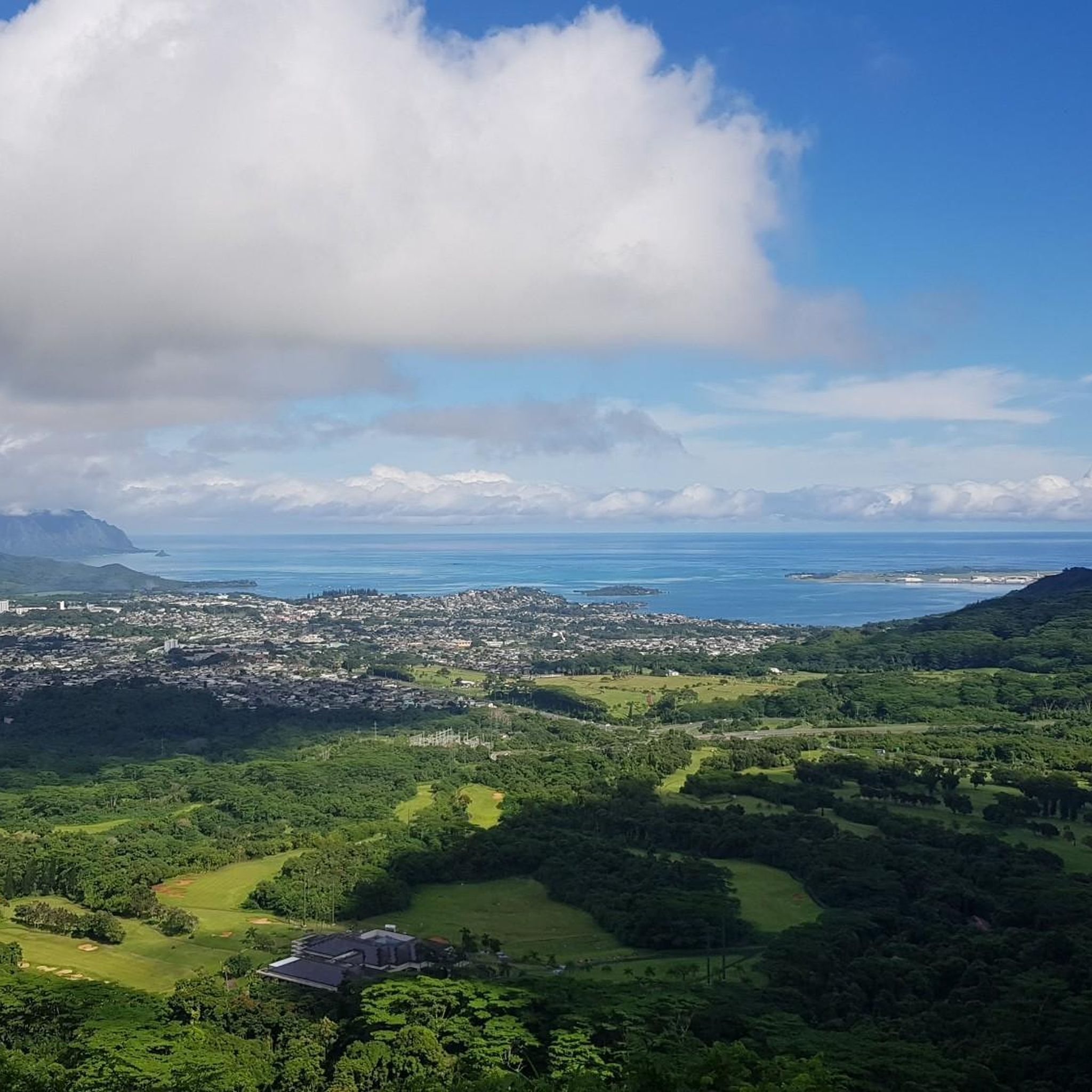
Road Cycling Routes around Urban Honolulu
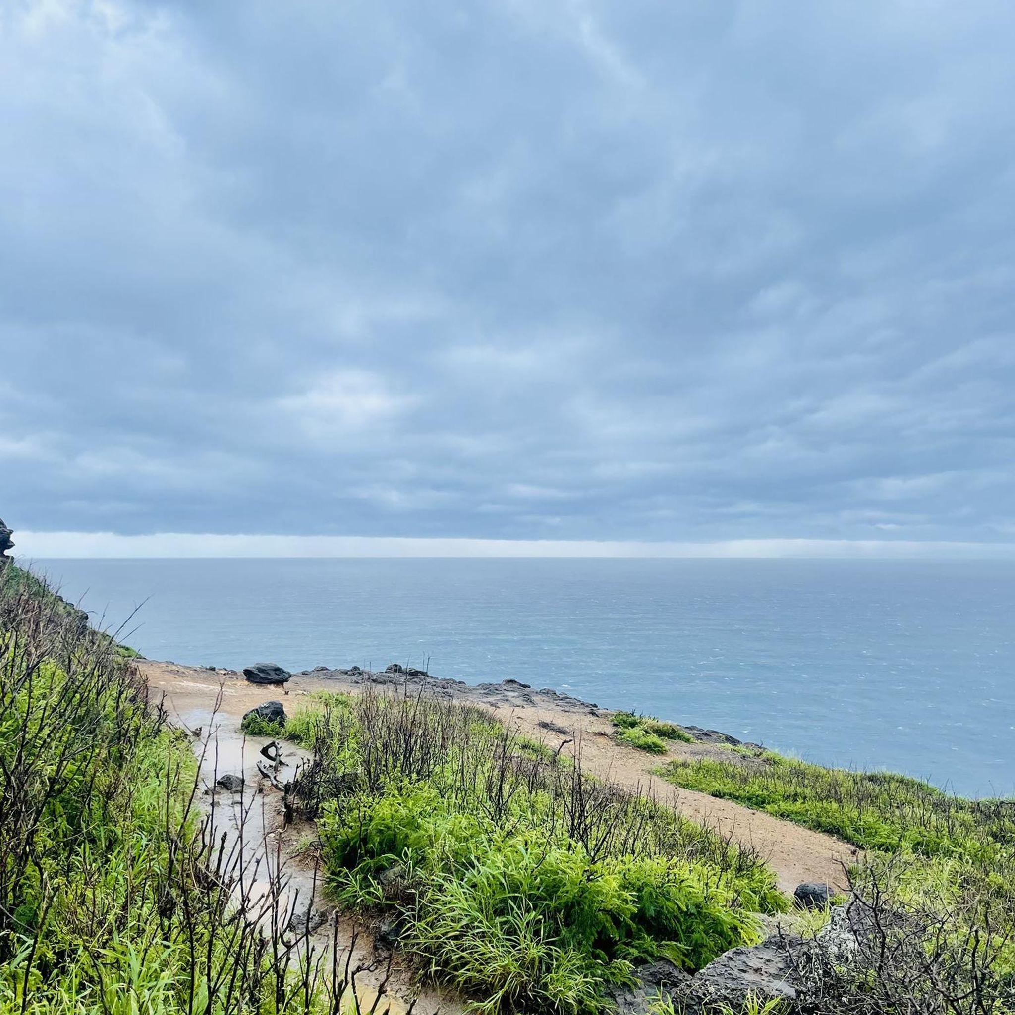
Road Cycling Routes around East Honolulu
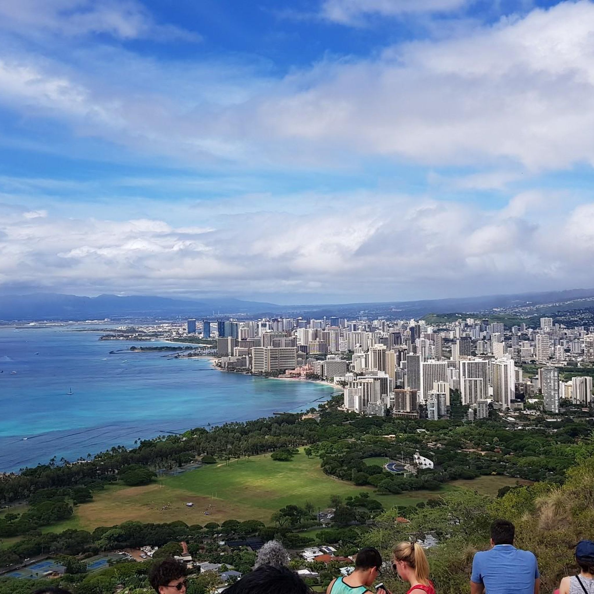
Road Cycling Routes in Round Top Forest Reserve
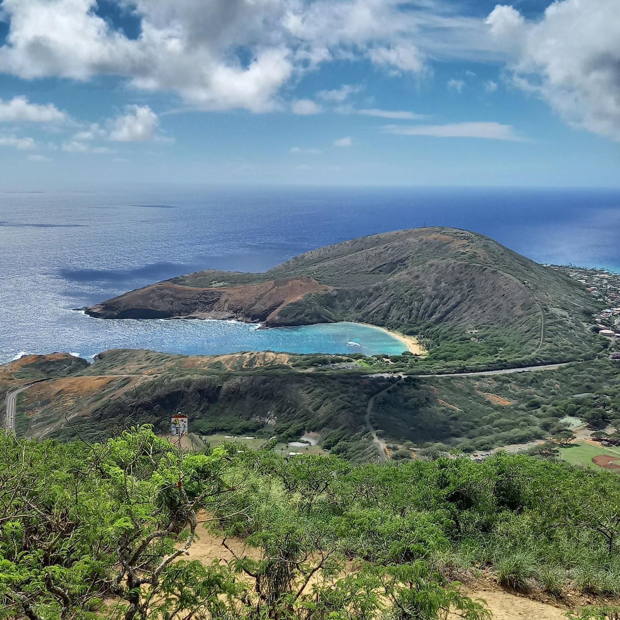
Road Cycling Routes in Koko Head Regional Park
Road Cycling Routes around Nanakuli
Road Cycling Routes in Honolulu Forest Reserve
Road Cycling Routes in Waianae Kai Forest Reserve
Road Cycling Routes in Diamond Head State Monument
Road Cycling Routes around Makaha
Road Cycling Routes around Waianae
Other adventures in Honolulu County

Tips from the Community


This is a scenic lookout on the way up to the Lē'ahi (Diamond Head) trailhead. Walking to the trailhead is a great way to avoid the parking crush, especially since there's a bus stop not far away. Just beyond this lookout you'll enter the Kahala Tunnel, the customary pedestrian access to Lē'ahi. Keep in mind that unless you are a Hawai'i resident with Hawai'i-issued ID, you'll need advance reservations, which can be made online for $5 per person, plus $10 per vehicle if you're driving to the trailhead: https://gostateparks.hawaii.gov/diamondhead Also of note, the park is only open from 6am-6pm, and the last reservation for the day is at 4pm.
3
0


Manoa Falls is one of the most spectacular waterfalls on Oahu to see! The fall is 150 feet tall and cascades down into a lush jungle. You can swim in the pool formed at the bottom to cool off! If you enjoy climbing and seeing the less-traveled roads, Lā-'ī Road and Waiomao Road can help you sneak in that little bit extra!
0
0
There are stone signs along the Pearl Harbor Path that indicate how far you are from the Honolulu Rail Depot.
0
0
This lookout provides a stunning view of Makapu'u Point and Makapu'u Beach surrounded by rocky edges. You may have to walk with your bike from the parking lot to the lookout spot, but it's very short!
1
0
The island was known as Quarantine Island during the 19th century, when it was used to quarantine ships believed to carry contagious passengers. During the 1970s, over 100 homeless native Hawaiians cleaned up the garbage that filled the island, built homes and took up residence. Later the island was reclaimed by the State of Hawaii and residence were evicted without compensation. But today you can enjoy great views of the south coastline and Hickam Airforce Base.
0
0
The road ends here, but a trail continues on for quite a bit. Just off of the road (maybe 150 feet on the left) is a hole in the rocks that is shaped like a heart from the right angle.
0
0
Frequently Asked Questions
How many road cycling routes are available in Honolulu County?
Honolulu County offers a wide selection of road cycling routes, with over 70 tours available. These include 21 easy routes, 44 moderate routes, and 8 challenging options, catering to various skill levels.
What do other cyclists enjoy most about road cycling in Honolulu County?
The road cycling routes in Honolulu County are highly rated by the komoot community, with an average score of 4.4 stars from over 35 reviews. Cyclists frequently praise the diverse landscapes, from stunning coastal views to challenging climbs through volcanic formations and lush rainforests.
Are there road cycling routes suitable for beginners or families in Honolulu County?
Yes, Honolulu County has several easy, mostly flat rides with wide bike paths perfect for beginners and families. A great option is the Waikiki to Wai‘alae Beach Park loop via Kahala Avenue, which offers pleasant urban and coastal scenery. Another easy route is Farrington Highway to Kaʻena Point State Park, providing beautiful coastal views.
Where can I find challenging road cycling routes with significant elevation gain?
For experienced cyclists seeking a challenge, Honolulu County offers routes with substantial elevation. The Pālolo via Tantalus Drive loop is a difficult route leading through dense rainforest with challenging climbs. Another demanding option is the Waikiki to Kailua loop, which covers a long distance with significant elevation changes.
Which routes offer the best coastal views and ocean scenery?
Many routes in Honolulu County hug the coastline, providing stunning ocean vistas. The Makapu‘u Lookout via McCully loop offers coastal views and passes a historic lighthouse. The Farrington Highway to Kaʻena Point State Park route is also excellent for scenic shoreline rides.
Are there any routes that go through lush rainforests or botanical gardens?
Yes, you can cycle through lush greenery and even botanical gardens. The Pālolo via Tantalus Drive loop takes you through dense rainforest, offering a unique cycling experience. For a ride through a botanical garden, consider the Hoʻomaluhia Botanical Gardens via Pu‘uhalo loop. You can also visit the Honolulu Botanical Gardens for recreational opportunities like biking, for more information see honolulu.gov.
What landmarks or points of interest can I see along the road cycling routes?
Honolulu County's routes often pass by iconic landmarks and natural features. You can cycle past the famous Diamond Head State Monument, enjoy views from Kahala Lookout, or even spot Hawaiian Monk Seals at Kaʻena Point. Some routes also offer views of historic sites like Pearl Harbor.
Are there any waterfalls accessible or visible from road cycling routes?
While most road cycling routes focus on coastal or mountain roads, some areas are near notable waterfalls. For example, the region is home to Waimea Falls and Maunawili Falls, which can be explored as separate highlights or incorporated into a longer ride plan.
Are there long-distance road cycling routes available in Honolulu County?
Yes, for those looking for longer rides, Honolulu County offers several extensive routes. The Honolulu to Turtle Bay loop via Kamehameha Highway is a significant long-distance option, covering over 160 km with considerable elevation gain. Another long route is Makapu'u via Pearl City, stretching over 100 km.
What is the best time of year to go road cycling in Honolulu County?
Honolulu County offers pleasant cycling conditions year-round due to its tropical climate. However, the drier months from April to October generally provide more consistent sunny weather, ideal for road cycling. Even during the wetter season, showers are often brief, allowing for enjoyable rides.
Are there urban or park cycling options within Honolulu?
Yes, within Honolulu, you'll find bike-friendly paths and parks. Waikiki and Ala Moana Beach Park offer pleasant cycling experiences with ocean views and urban charm. Kapiolani Park provides a flat, paved loop through lush gardens, perfect for relaxed rides.
Is public transport accessible for reaching road cycling routes?
Public transport, particularly TheBus system, serves many areas of Oahu, including parts of Honolulu County where cycling routes begin or pass through. While buses have bike racks, space can be limited, especially during peak hours. Planning your route and checking bus schedules in advance is advisable.
Are there any circular road cycling routes in Honolulu County?
Many of the road cycling routes in Honolulu County are designed as loops, allowing you to start and end at the same point. Examples include the Makapu‘u Lookout via McCully loop, the Waikiki to Kailua loop, and the Pālolo via Tantalus Drive loop, providing convenient options for exploration.
Most popular routes in Honolulu County
Most popular attractions in Honolulu County

Get inspired with the komoot mobile app


Didn’t find what you were looking for?
Check out more Road cycling routes throughout Honolulu County below and find the perfect route in your destination.
Explore more
Browse the best Road cycling routes in other regions.
