The best road cycling routes in Clark County
4.8
(137)
3,382
riders
129
rides
Road cycling routes in Clark County traverse diverse landscapes, from the arid desert and striking red rock formations of Nevada to the lush forests and river valleys of Washington. The region offers routes with significant elevation changes through mountainous terrain, as well as scenic paths along lakes and wetlands. Cyclists can experience both dramatic desert vistas and the verdant scenery of the Pacific Northwest, including the Columbia River Gorge.
Best road cycling routes in Clark County
- The most popular road cycling route is Calico Basin and Red Rock Canyon Scenic Loop from Charleston Blvd, a 28.6 miles (46.0 km) trail that takes 2 hours 17 minutes to complete. This route features dramatic red rock formations and desert views.
- Another top favourite among local road cyclists is River Mountains Loop Trail, a difficult 53.7 miles (86.4 km) path. This trail offers panoramic views of the desert and Lake Mead.
- Local road cyclists also love the Red Rock Canyon Scenic Loop and Blue Diamond from Charleston Blvd, a 36.1 miles (58.2 km) trail leading through the Red Rock Canyon area, often completed in about 2 hours 48 minutes.
- Road cycling in Clark County is defined by desert landscapes, red rock formations, mountains, and river valleys. The network offers options for various ability levels, from moderate loops to challenging climbs.
- The routes in Clark County are highly rated by the komoot community with an average score of 4.9 stars from over 100 reviews. More than 3500 road cyclists have used komoot to explore Clark County's varied terrain.
Last updated: October 10, 2026
5.0
(2)
396
riders
46.0km
02:18
670m
670m
Embark on the Calico Basin and Red Rock Canyon Scenic Loop from Charleston Blvd for a moderate racebike ride through stunning desert landscapes. This route covers 28.6 miles (46.0 km) and features a significant elevation gain of 2190 feet (667 metres), typically taking about 2 hours and 17 minutes to complete. As you cycle, you will pass vivid sandstone formations and towering Aztec red cliffs, with the unique Calico Hills providing a memorable visual backdrop.
When planning your visit, remember there is an entrance fee for the Red Rock Canyon National Conservation Area. It is crucial to carry plenty of water and apply sunscreen, especially if you are riding during the warmer months. Always be aware of the potential for flash flooding in certain seasons, which can impact your ride.
This route takes you through the Red Rock Canyon National Conservation Area, a region known for its ancient sand dunes that have been frozen in time to form the distinctive Calico Hills. You will experience the vastness of the desert near Las Vegas, with views of landmarks like Turtlehead Peak and the expansive La Madre Mountains Ridgeline along the Red Rock Canyon Scenic Drive.
5.0
(25)
310
riders
86.4km
04:50
1,120m
1,120m
The River Mountains Loop Trail offers a truly immersive road cycling experience through the rugged Mojave Desert, circling the River Mountains. You'll encounter continuous elevation changes, from challenging climbs to exhilarating descents, all while enjoying expansive views of Lake Mead and the surrounding arid landscape. Keep an eye out for desert bighorn sheep and other wildlife as you navigate the paved path, which also passes by the historic Boulder City/State of Nevada tourist Railroad.
This difficult 53.7-mile (86.4 km) route, with its 3685 feet (1123 metres) of elevation gain, is a serious undertaking, typically taking around 4 hours and 49 minutes to complete. Multiple parking options are available at various trailheads, and the trail is well-equipped with amenities like pit toilets and bike repair stations. For the best experience, plan your visit during the cooler spring or fall months, and always carry ample water.
Recognized as a National Recreation Trail, this loop connects key areas like Lake Mead National Recreation Area, Hoover Dam, Henderson, and Boulder City. It's a fantastic option for advanced road bike trails near the Las Vegas Valley, providing a safe, non-motorized route away from vehicle traffic. The diverse scenery and constant challenge make it a standout choice for experienced cyclists.

5.0
(24)
241
riders
53.6km
03:07
610m
610m
The River Mountains Loop Trail offers a fantastic road cycling journey around the scenic River Mountains, providing a unique perspective of the desert landscape and Lake Mead. As you pedal, you'll experience rolling terrain and open vistas, particularly along the western section of the loop. The route is well-maintained and provides a consistent, engaging ride for those looking to explore the natural features of the area.
Planning your ride on the River Mountains Loop Trail is straightforward, with several access points and parking options available around Boulder City. It's always wise to start your ride early, especially if you're visiting during peak times, to ensure a smooth experience. Remember to bring ample water, as the desert climate can be demanding, and consider cycling during the cooler months for optimal enjoyment.
This 33.3-mile (53.6 km) moderate cycling route involves 2009 feet (612 metres) of elevation gain, typically taking about 3 hours and 7 minutes to complete. It's a popular choice for cyclists due to its accessibility and the rewarding challenge it presents, making it a standout option among the best cycling trails in the region for a solid workout and impressive views.
5.0
(1)
167
riders
58.2km
02:48
770m
770m
Embark on a moderate road cycling adventure through the stunning desert landscape of Red Rock Canyon National Conservation Area. This route covers 36.1 miles (58.2 km) with a significant elevation gain of 2528 feet (770 metres), taking you about 2 hours and 48 minutes to complete. As you pedal, you will pass vibrant red rock formations like the Calico Hills and the towering La Madre Mountains, offering a dramatic contrast to the distant Las Vegas skyline. Keep an eye out for iconic desert plants such as Joshua Trees and cholla cacti that dot the terrain. The experience is a rewarding challenge for any road cyclist.
Before you set out, be aware that an entrance fee of $3 to $5 per bike is usually required to enter the Scenic Loop. While vehicles need timed entry reservations from October through May, cyclists typically do not. If you plan to ride during the summer, be prepared for extreme heat; temperatures can easily exceed 110°F. Always carry plenty of water, as there are no water sources available on the loop itself past the visitor center.
This road cycling route is a classic choice for those seeking a substantial desert ride near Las Vegas. You will experience panoramic views from the Red Rock Canyon Overlook, showcasing the vast desert and even glimpses of the city. The area is known for its unique geology, with striking red rock formations that stand out against the desert floor. It offers a distinct natural escape from the urban environment.
4.5
(2)
149
riders
57.8km
02:40
500m
500m
Embark on a road cycling adventure along the Highway 159 (Red Rock Canyon Road) loop, starting from the Bears Best Trailhead. This moderate route spans 35.9 miles (57.8 km) and climbs 1639 feet (500 metres), offering a rewarding ride that takes about 2 hours and 39 minutes to complete. As you pedal, you will experience the striking desert landscape, with dramatic red rock formations and rugged mountains like La Madre Mountain framing your journey. Make sure to pause at the Red Rock Canyon Overlook to take in the vibrant Aztec sandstone formations.
Before you go, be aware that an entrance fee is required to access the scenic loop. During peak season, from October 1 to May 31, timed entry reservations might be necessary for vehicles, so plan ahead. Parking is available directly at the Bears Best Trailhead. Always carry plenty of water, especially during warmer months when temperatures can easily exceed 100 degrees Fahrenheit.
This route provides a unique contrast to the nearby Las Vegas Strip, immersing you in a natural environment rich with geological wonders. The Red Rock Canyon National Conservation Area is known for its distinct ecosystem and the vibrant hues of its rock formations, making it a notable destination for outdoor enthusiasts. You will find yourself surrounded by the quiet majesty of the desert, a world away from the city's hustle.
5.0
(3)
152
riders
25.4km
01:28
450m
450m
Embark on a moderate road cycling adventure along the Red Rock Canyon Scenic Loop, a 15.8-mile (25.4 km) route that promises dramatic desert scenery. You will climb 1484 feet (452 metres) in elevation, a ride that typically takes about 1 hour and 28 minutes. As you cycle, you will pass vibrant red rock formations, deep canyons, and mountains, with desert flora like Joshua trees and cholla cacti lining the paved road. The initial 4 to 6 miles involve a significant uphill climb, but this is followed by mostly downhill sections with fast speeds and winding curves, offering panoramic vistas from various pullouts.
To access this route, an entrance fee is required for the Red Rock Canyon National Conservation Area, though bicycles do not need timed entry reservations. Parking for cyclists is available near the Red Rock Canyon Overlook, which is your starting point. Be aware that no water is available on the loop past the visitor center, so plan accordingly. Summer temperatures can be extremely high, often exceeding 110°F, making early morning or late afternoon rides preferable during warmer months.
This scenic loop is a highlight within the Red Rock Canyon National Conservation Area, showcasing the unique geology and desert ecosystem of Southern Nevada. The area is renowned for its striking sandstone peaks and walls, which are part of the Keystone Thrust Fault. The vivid red hues of the rocks are due to iron oxides, creating a stunning contrast with the surrounding desert landscape. It is a popular destination for outdoor enthusiasts seeking to experience the natural beauty of the Mojave Desert.
5.0
(2)
43
riders
134km
05:59
1,120m
1,120m
If you're looking for a challenging road cycling experience, the Tour de Summerlin 80-Mile Course delivers a demanding ride through Nevada's desert landscape. This difficult route stretches for 83.4 miles (134.2 km) and features a significant 3681 feet (1122 metres) of elevation gain. You will spend around 5 hours and 58 minutes on the bike, passing striking red rock formations and rolling desert hills. Expect expansive vistas, especially as you approach the Red Rock Canyon Overlook. The course primarily uses well-paved surfaces and wide bike lanes, offering a smooth journey.
Planning your ride is straightforward, as the Tour de Summerlin 80-Mile Course conveniently begins and ends at Downtown Summerlin, providing easy access and parking. While it is a challenging ride, it is structured as a non-competitive community event. This means you can expect aid stations and support vehicles along the way, which is helpful for such a long distance. eBikes are also welcome on the course.
This route offers a unique opportunity to experience the distinctive beauty of the Red Rock Canyon National Conservation Area. The organizers have described the views along the way as being like a "vintage 60's postcard," highlighting the classic desert scenery. It is a great way to immerse yourself in the natural environment of the region while enjoying a substantial cycling challenge.
5.0
(2)
37
riders
88.2km
04:11
1,000m
1,000m
The Red Rock Canyon Scenic Loop offers a truly unique road cycling experience, winding through dramatic red rock formations and expansive desert vistas just outside Las Vegas. You'll navigate a challenging 54.8-mile (88.2 km) route with 3294 feet (1004 metres) of elevation gain, passing iconic Aztec sandstone cliffs and sparse Joshua tree forests. The initial miles involve a sustained climb, rewarding you with breathtaking views from spots like the High Point Overlook before transitioning to exhilarating downhill stretches.
Planning your ride requires a few considerations. There's an entrance fee to access the loop, but cyclists enjoy a lower rate and are exempt from the timed entry reservations required for vehicles during peak season. Given the desert environment, it's critical to carry plenty of water and sun protection, as shade is virtually nonexistent along the route. Avoid cycling during the intense summer heat for safety.
This difficult route, typically taking around 4 hours and 11 minutes, is a favorite among experienced cyclists for its smooth pavement and generally wide shoulders. The 25 mph speed limit for vehicles enhances the cycling experience, making it feel safer and more enjoyable. It's a fantastic way to immerse yourself in the natural beauty of the Mojave Desert, offering a stark contrast to the nearby urban sprawl.
36
riders
43.3km
02:20
360m
360m
Embark on the Western Beltway Trail for a moderate road cycling experience, covering 26.9 miles (43.3 km) with an elevation gain of 1182 feet (360 metres). You can expect to complete this route in about 2 hours and 19 minutes. As you pedal, you'll encounter varied terrain and enjoy views of the surrounding mountains, particularly as you approach the vicinity of the Red Rock Canyon National Conservation Area. While some parts run alongside the I-215 beltway, the trail uses grade separations to ensure a smoother ride, keeping you focused on the journey. This route is designed for getting miles in on a paved surface.
To begin your ride, convenient parking is available at the southern end of the trail, just off W. Tropicana Avenue. The route is popular with cyclists, joggers, and walkers, so you'll share the wide path with others enjoying the outdoors. Be mindful that some sections involve crossings at busy intersections, such as Charleston and Sahara, where extra caution is advised. This trail is accessible year-round, making it a reliable option for your road cycling adventures.
The Western Beltway Trail is notable for its unique position, following the I-215 beltway and providing glimpses of the area west of the Las Vegas Strip. It offers a distinct perspective of the region, connecting you to the general vicinity of the Red Rock Canyon National Conservation Area. You can also make a stop at Mesa Park along the way for a break. This trail serves as a key artery for outdoor activity in the area.
21
riders
31.4km
01:32
270m
270m
Embark on an easy road cycling journey with the Tour de Summerlin 20-Mile Course, a route that spans 19.5 miles (31.4 km) and includes a gentle climb of 893 feet (272 metres). You can expect to complete this ride in about 1 hour and 32 minutes. As you pedal, you will enjoy wide bike lanes and the distinct desert scenery of Nevada, with striking red rocks and rolling hills. Look west for expansive skies and stunning vistas of the Red Rock Canyon National Conservation Area, providing a beautiful backdrop to your ride.
This route is part of a well-organized community event, so you can anticipate well-maintained roads and a rider-friendly experience. While specific parking details are usually released closer to the event date, the ride traditionally begins and ends in Downtown Summerlin. E-bikes are permitted on the course, and children under 15 can participate with a guardian, making it a great option for families looking to cycle together.
The Tour de Summerlin 20-Mile Course highlights the beauty of the Summerlin community itself, including its vibrant Downtown area. Beyond the natural desert landscapes, you will cycle through developed areas that showcase the local environment. This accessible course offers a relaxed way to explore the region, combining urban and natural views into a cohesive road cycling experience.
Get access to more routes and recommendations from other explorers.
Already have an account?
Our route recommendations are based on thousands of hikes, rides, and runs completed by other people on komoot.
Start today with a free account
Your next adventure awaits.
Popular around Clark County
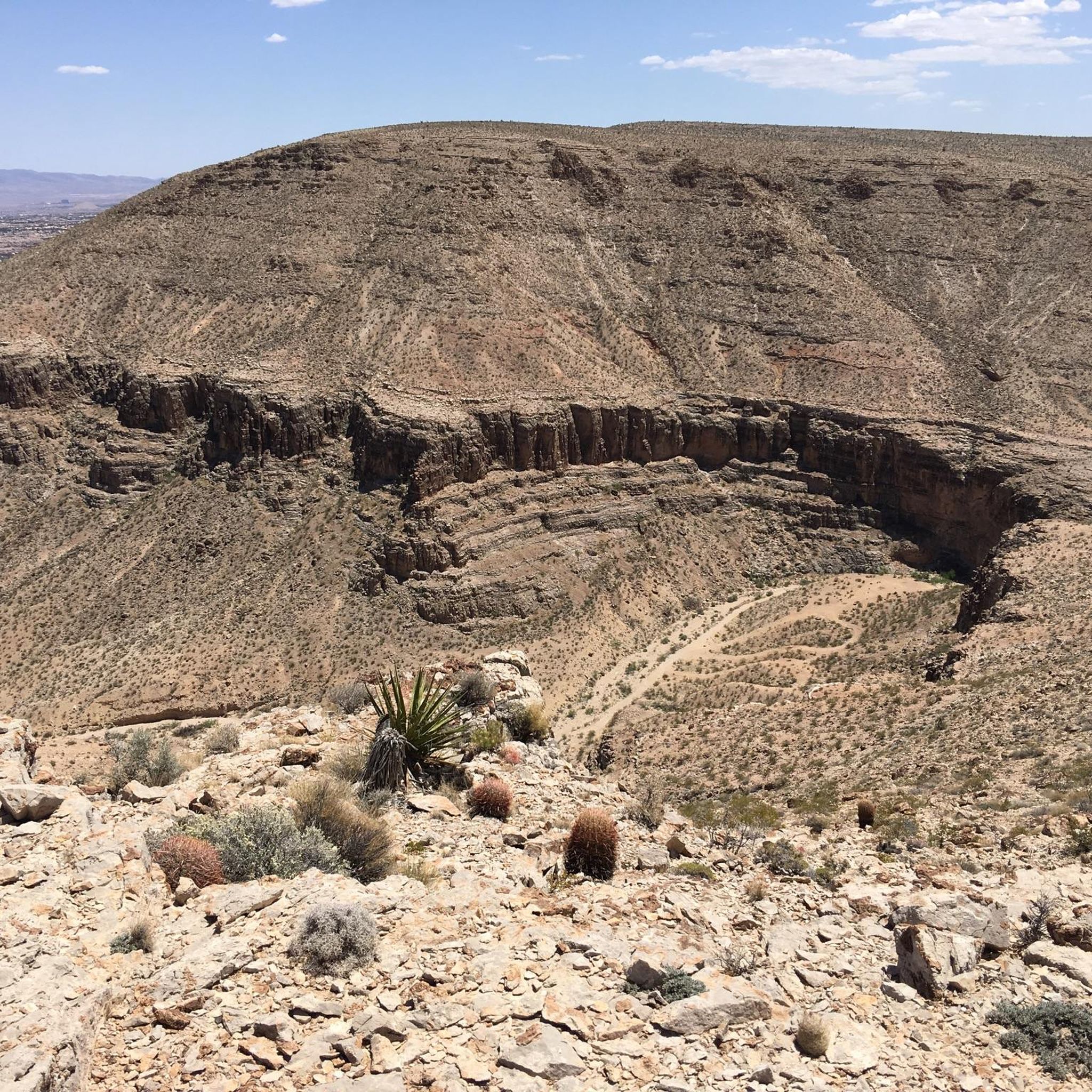
Road Cycling Routes around Summerlin South

Road Cycling Routes around Spring Valley

Road Cycling Routes in the Spring Mountains

Road Cycling Routes around Las Vegas

Road Cycling Routes in the El Dorado Mountains

Road Cycling Routes around Winchester

Road Cycling Routes around Henderson

Road Cycling Routes in La Madre Mountain Wilderness

Road Cycling Routes around Paradise
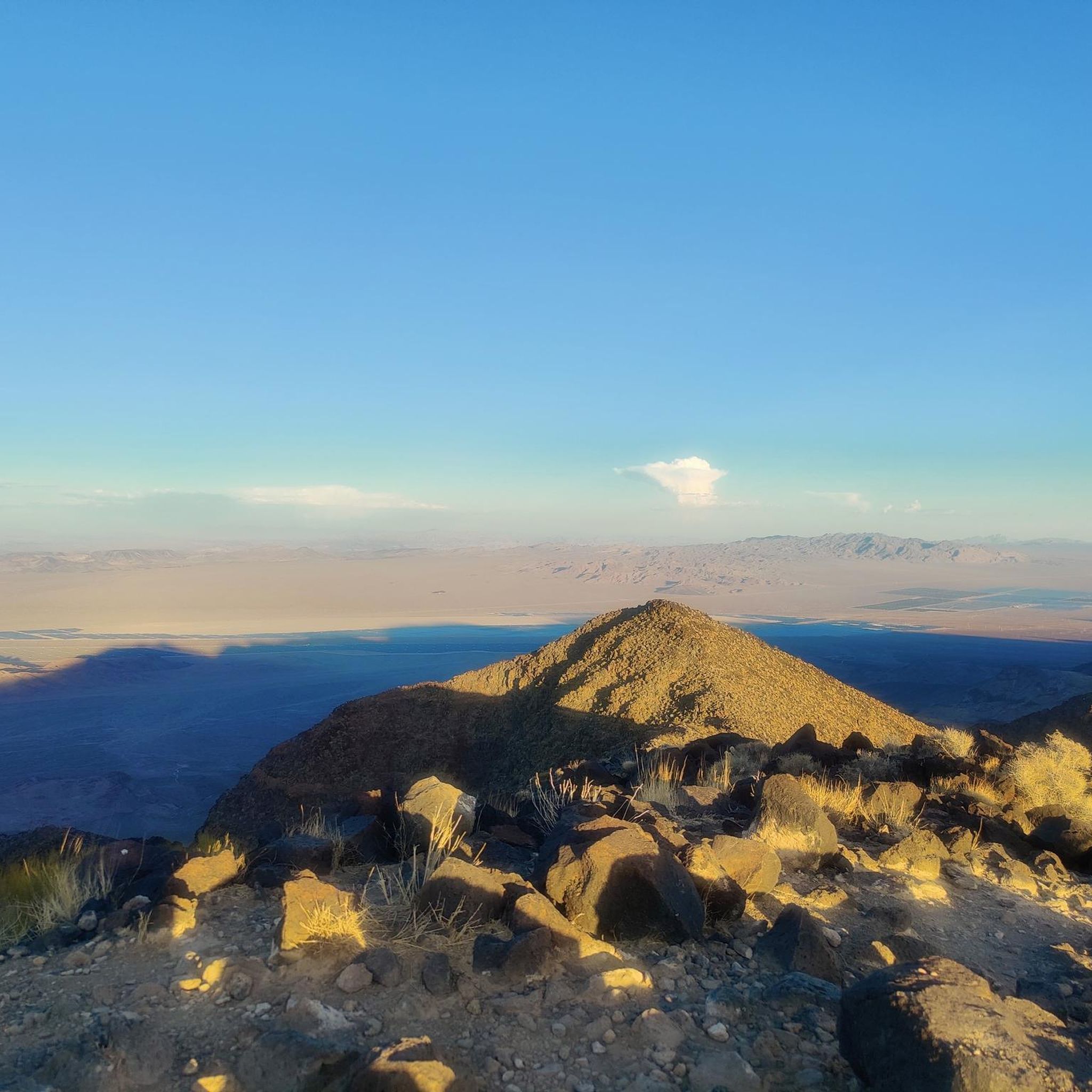
Road Cycling Routes in the Mc Cullough Range
Other adventures in Clark County


Tips from the Community

The view of the museum and the dam are extremely interesting, the guides are very good at getting the public excited.
0
0

Several good groups to ride with depending on your pace!
0
0


Downtown Summerlin is just south of the Red Rock Resort and Casino is a great outdoor shopping and dining complex with numerous restaurants and cafés, as well as one of the best farmers markets in Vegas every Saturday. This is also where the popular Tour de Summerlin bike race and half-marathon begins and ends.
1
0

Great, world-famous building - a must-see. Easy to get to.
0
0
Downtown Summerlin is just south of the Red Rock Resort and Casino is a great outdoor shopping and dining complex with numerous restaurants and cafes, as well as one of the best farmers markets in Vegas every Saturday. This is also where the popular Tour de Summerlin bike race and half marathon begins and ends.
0
0
The Hoover Dam is an iconic American symbol that hardly needs introduction. This engineering marvel was completed during the Great Depression and impounds Lake Mead, which is the largest reservoir in the United States (by volume). This is a truly amazing place to visit that is recognized as a National Historic Civil Engineering Landmark, a National Historic Landmark, and is on the National Register of Historic Places.
0
0
The Lakeview Overlook is just a short distance from the Hoover Dam and offers panoramic views of the Boulder Basin from a higher elevation from the dam itself. To the northwest you can see Hemenway Harbor, the tunnels of the Hoover Historic Railroad, and power lines that extend out and up from Hoover Dam. To the northeast, you can see Rock, Boulder and Saddle Islands and the Muddy and Black Mountains.
0
0
Frequently Asked Questions
What types of road cycling routes can I find in Clark County?
Clark County offers a diverse range of road cycling experiences. In Nevada, you'll find routes traversing arid desert landscapes and striking red rock formations, such as the challenging Calico Basin and Red Rock Canyon Scenic Loop from Charleston Blvd. In Washington, the scenery shifts to lush forests, river valleys, and the majestic Columbia River Gorge, providing routes with rolling climbs and smooth descents.
Are there road cycling routes suitable for beginners or families in Clark County?
Yes, Clark County offers options for various skill levels. For an easier ride, consider the Tour de Summerlin 20-Mile Course in Nevada, which is rated as easy. In Clark County, Washington, multi-use paths like the Wetlands Loop Trail (part of Clark County Wetlands Park) offer significant paved sections suitable for a more relaxed family outing, though the Nature Preserve within the park does not allow bikes. You can find more information about the park at clarkcountynv.gov.
Where can I find routes with significant elevation gain for advanced cyclists?
For advanced cyclists seeking elevation challenges, Clark County, Nevada, provides routes through mountainous terrain. The River Mountains Loop Trail is a difficult 53.7-mile path with over 1100 meters of elevation gain, offering panoramic views of the desert and Lake Mead. Another challenging option is the Tour de Summerlin 80-Mile Course, which also features substantial climbing.
Are there any scenic loop routes for road cycling in Clark County?
Absolutely. The Red Rock Canyon Scenic Loop and Blue Diamond from Charleston Blvd is a popular moderate loop in Nevada, showcasing dramatic red rock formations. Another excellent loop is the Highway 159 (Red Rock Canyon Road) loop from the Bears Best Trailhead, offering stunning desert vistas.
What natural attractions or viewpoints can I see along road cycling routes?
Clark County offers numerous scenic highlights. In Nevada, you can enjoy dramatic red rock formations in the Red Rock Canyon National Conservation Area and panoramic views of Lake Mead along the River Mountains Loop Trail. The Lake Mead Overlook is a notable viewpoint. In Clark County, Washington, routes often feature views of the Columbia River Gorge and its stunning waterfalls like Multnomah Falls, Bridal Veil Falls, and Horsetail Falls.
What is the best time of year for road cycling in Clark County?
The best time to ride depends on which Clark County you're in. In Clark County, Nevada, cooler months from fall through spring are ideal to avoid extreme desert heat. In Clark County, Washington, spring and fall offer pleasant temperatures and vibrant scenery, though summer can also be excellent, especially along the coast or in higher elevations.
Are there any routes that pass by wetlands or offer wildlife viewing opportunities?
Yes, in Clark County, Nevada, the Clark County Wetlands Park offers the Wetlands Loop Trail, a 14-mile multi-use path with significant paved sections where you can observe wildlife in wetlands, woodlands, and meadows. For more details on the trails, visit clarkcountynv.gov. In Clark County, Washington, the Salmon Creek Greenway Trail and Burnt Bridge Creek Greenway Trail also traverse wetlands and forests, providing opportunities for wildlife viewing.
What do other road cyclists enjoy most about road cycling in Clark County?
The road cycling routes in Clark County are highly rated by the komoot community, with an average score of 4.9 stars from over 100 reviews. Cyclists often praise the diverse terrain, from the striking desert landscapes and challenging climbs of Nevada to the lush, scenic river valleys and forests of Washington. The well-maintained paths and stunning natural beauty are frequently highlighted.
Are there any long-distance road cycling routes for endurance riders?
For endurance riders, Clark County offers several long-distance options. The River Mountains Loop Trail in Nevada is a challenging 53.7-mile route. Additionally, the Tour de Summerlin 80-Mile Course provides a substantial distance for those looking for an extended ride.
Can I access road cycling routes using public transport in Clark County?
Public transport access varies by specific route and location within Clark County. In the Las Vegas area of Clark County, Nevada, some routes may be accessible via local bus services, particularly those closer to urban centers. For Clark County, Washington, local transit options may also connect to trailheads, but it's advisable to check specific route information and transit schedules for the most accurate details regarding bike accessibility on buses.
Where can I find parking for road cycling trails in Clark County?
Many popular road cycling areas in Clark County offer designated parking. For instance, routes around Red Rock Canyon National Conservation Area in Nevada typically have visitor centers or trailheads with parking facilities. Similarly, in Clark County, Washington, parks like Moulton Falls Regional Park and Whipple Creek Park, as well as trailheads for greenways like Burnt Bridge Creek, usually provide parking for visitors. Always check specific route details for recommended parking locations.
Are there any road cycling routes that offer views of lakes or rivers?
Yes, both regions of Clark County feature routes with water views. In Nevada, the River Mountains Loop Trail offers spectacular views of Lake Mead. In Clark County, Washington, you can cycle along the Columbia River Gorge National Scenic Area, providing incredible river vistas. Routes around Lacamas Lake and along the Lewis River also offer picturesque water scenery.
Most popular routes in Clark County
Most popular attractions in Clark County

Get inspired with the komoot mobile app


Didn’t find what you were looking for?
Check out more Road cycling routes throughout Clark County below and find the perfect route in your destination.
Explore more
Browse the best Road cycling routes in other regions.
